To read the first part of our hike go here: Part 1 of the Overland Track.
DAY FOUR — Reaching the Sky
Pelion Plains Hut to Kia Ora Hut via Mt Ossa
This morning managed to be both one of the best - and one of the worst - days of the entire trip. Unfortunately, Kathy woke with a nasty bout of vertigo. The sort that makes simply sitting upright feel like you’re trapped inside a malfunctioning washing machine. With real concern about whether she could even walk, we talked through worst-case scenarios, including the dreaded words: emergency evacuation.
But being the absolute trooper she is, Kathy decided to push on to the next hut despite being sicker, and walking more crookedly, than a drunken sailor in a rolling storm.
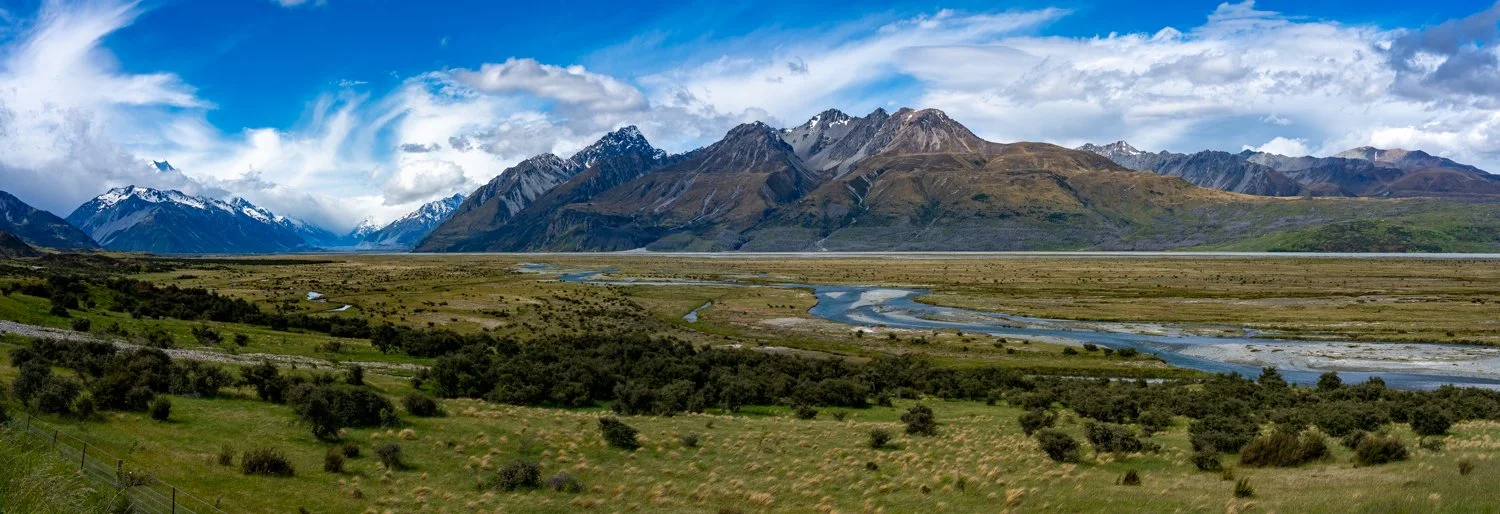
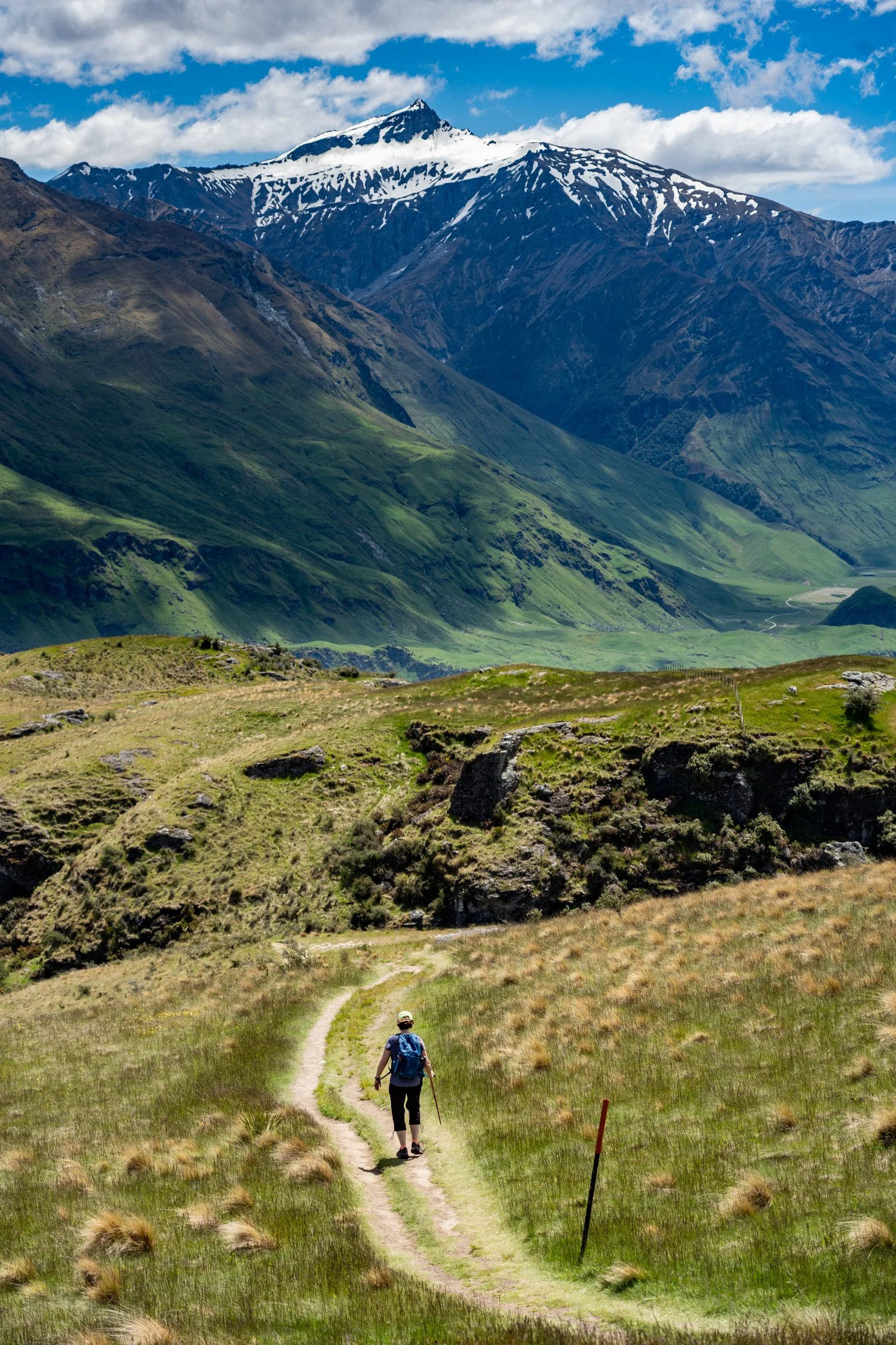
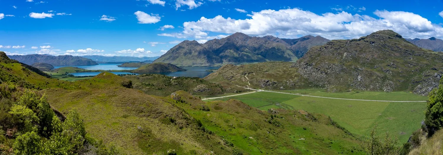
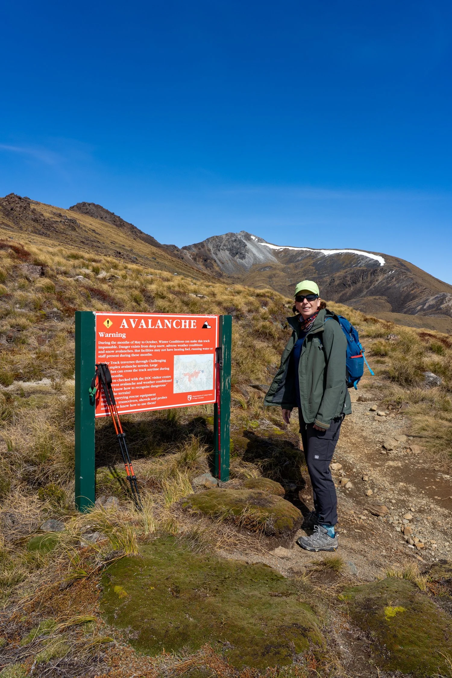
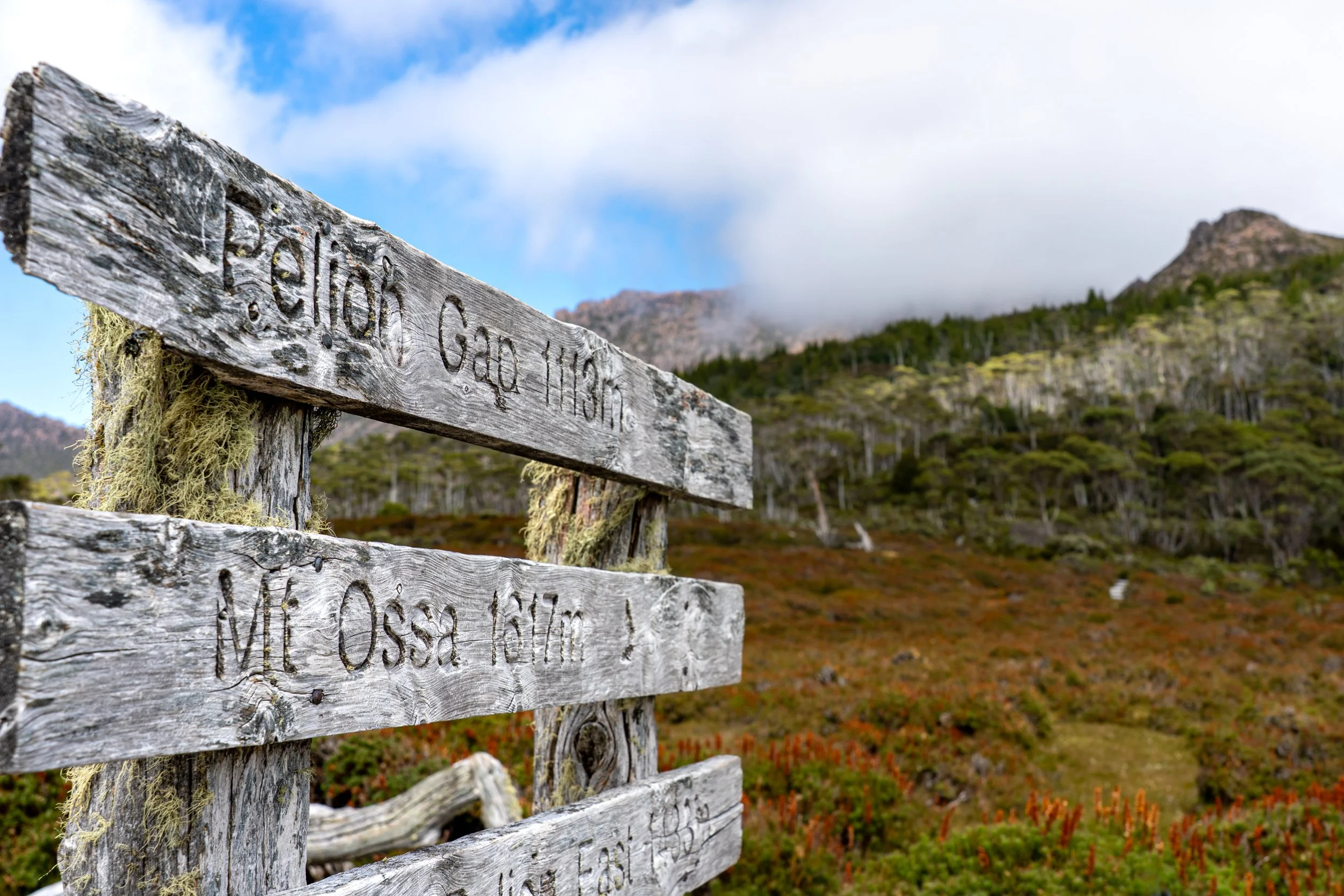
From the hut, it was a 4.5-kilometre climb to Pelion Gap — the turn-off for Mount Ossa, which several of us were quietly hoping to tackle — and then another four kilometres on to the next hut (a distance that felt wildly optimistic for Kathy at this point).
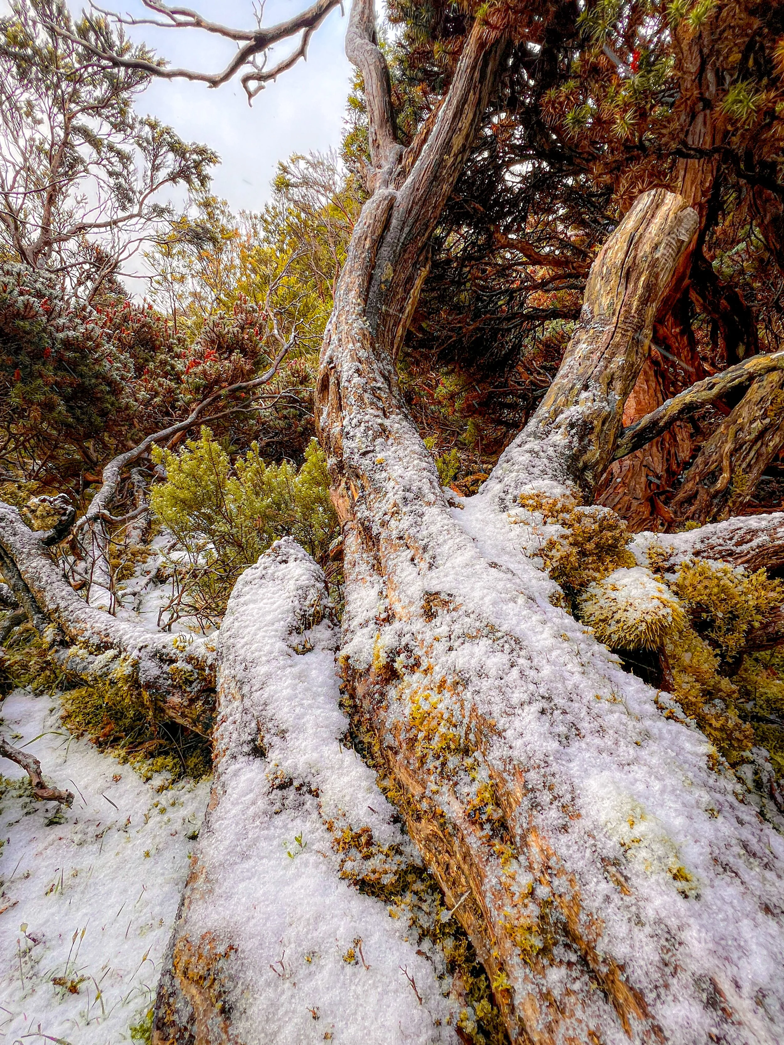
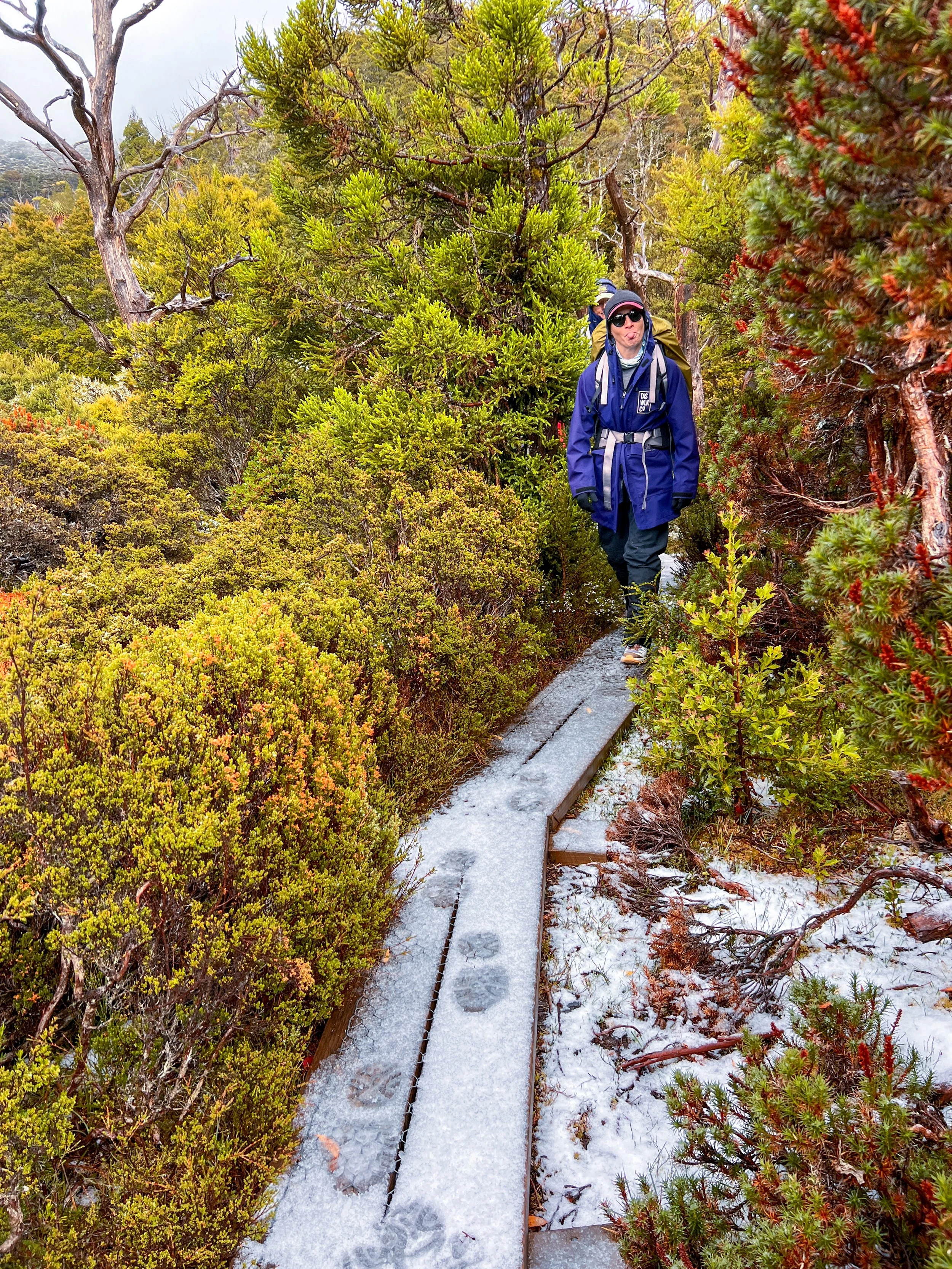
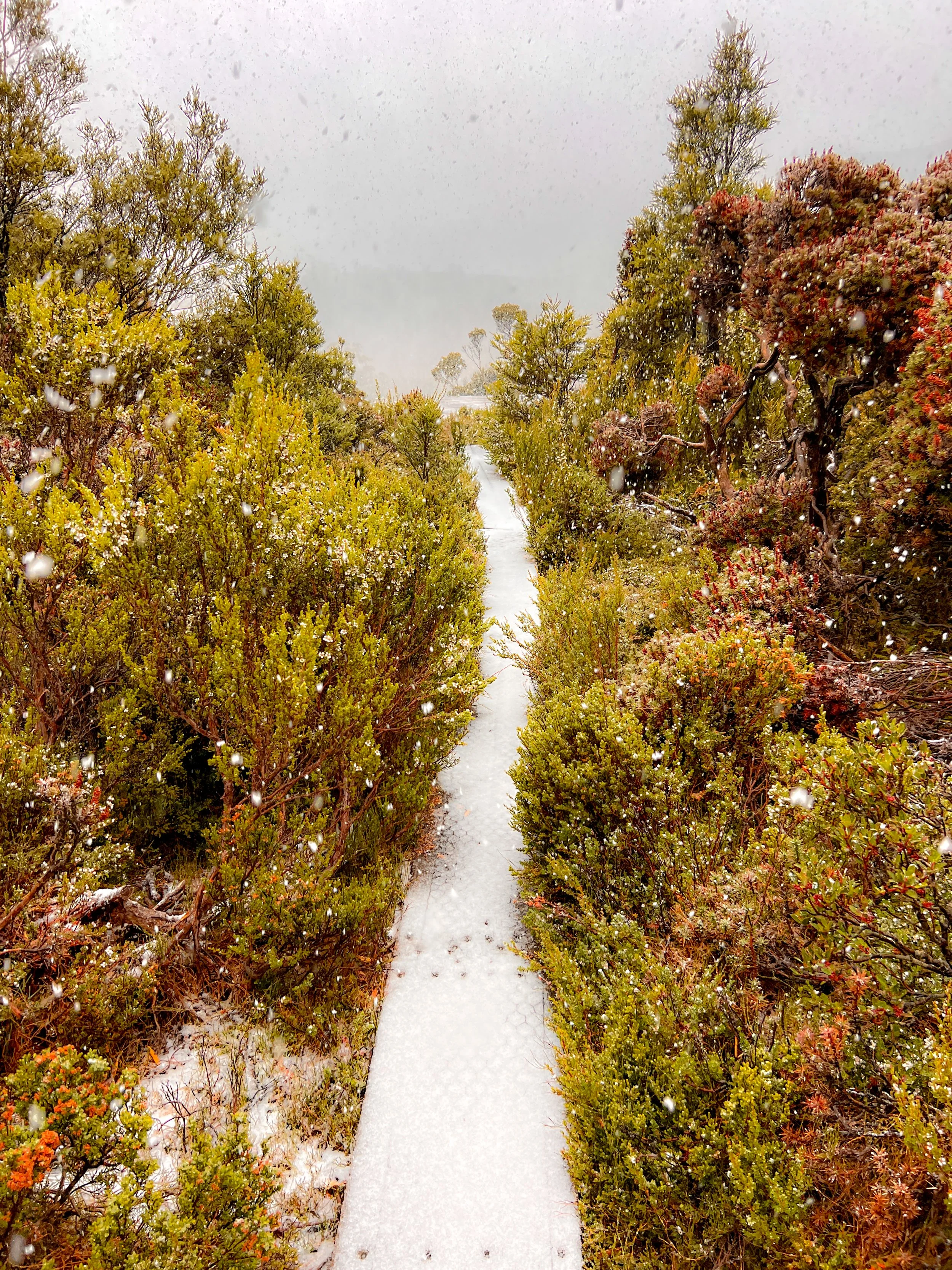
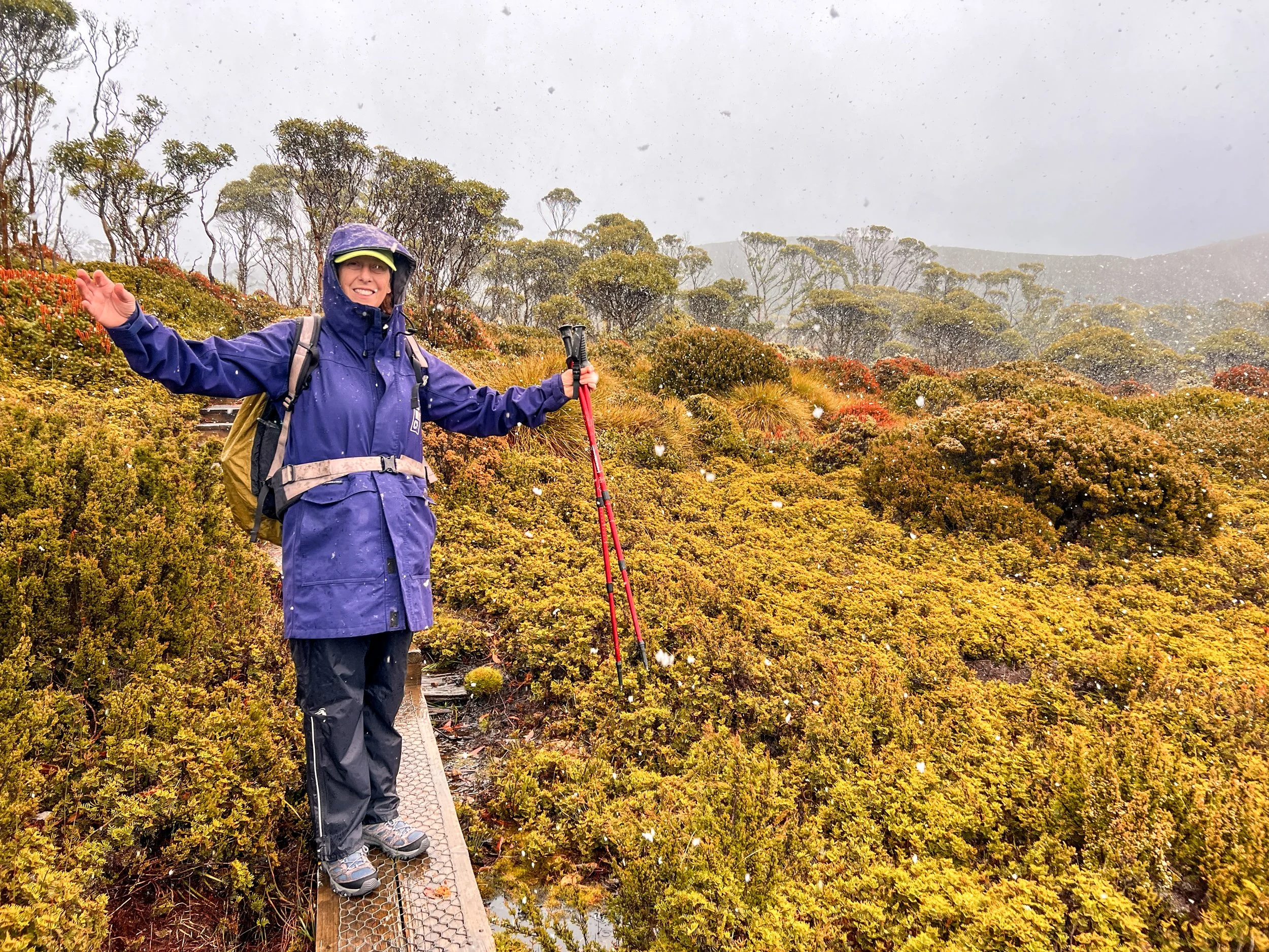
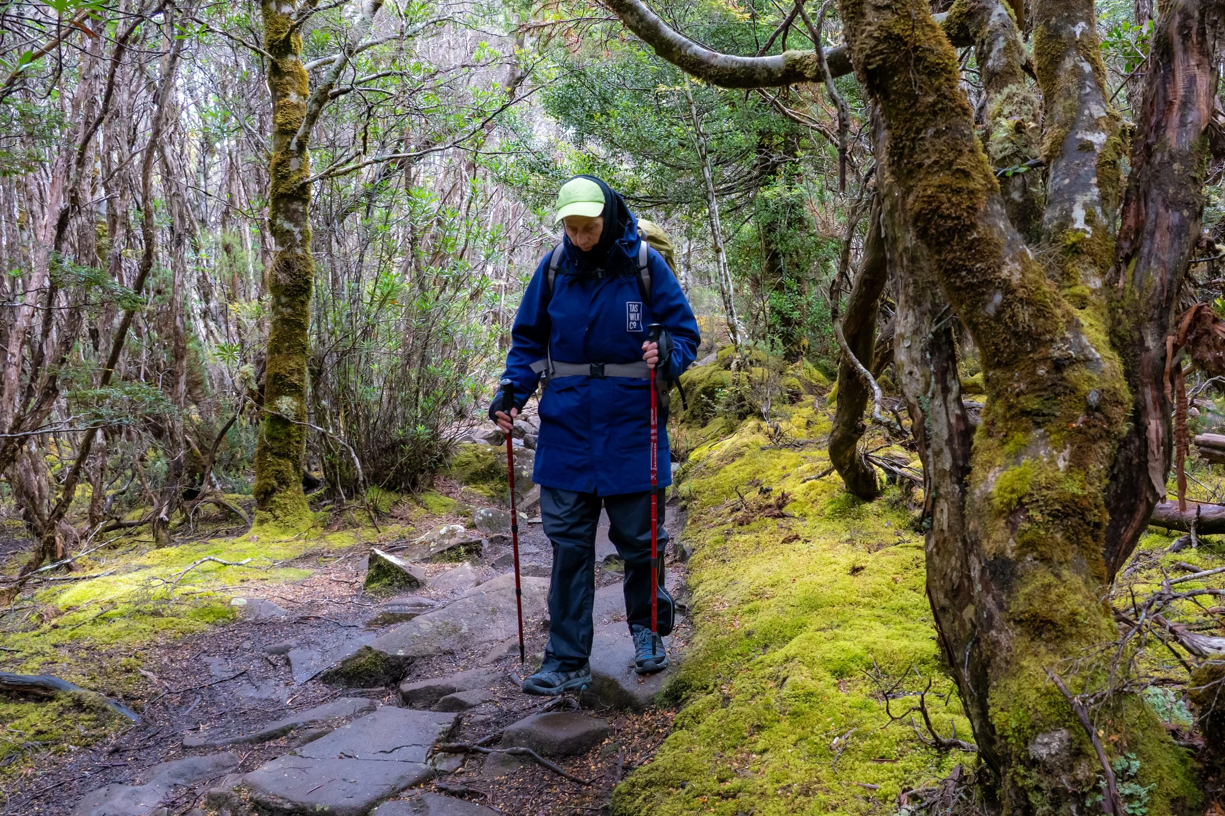
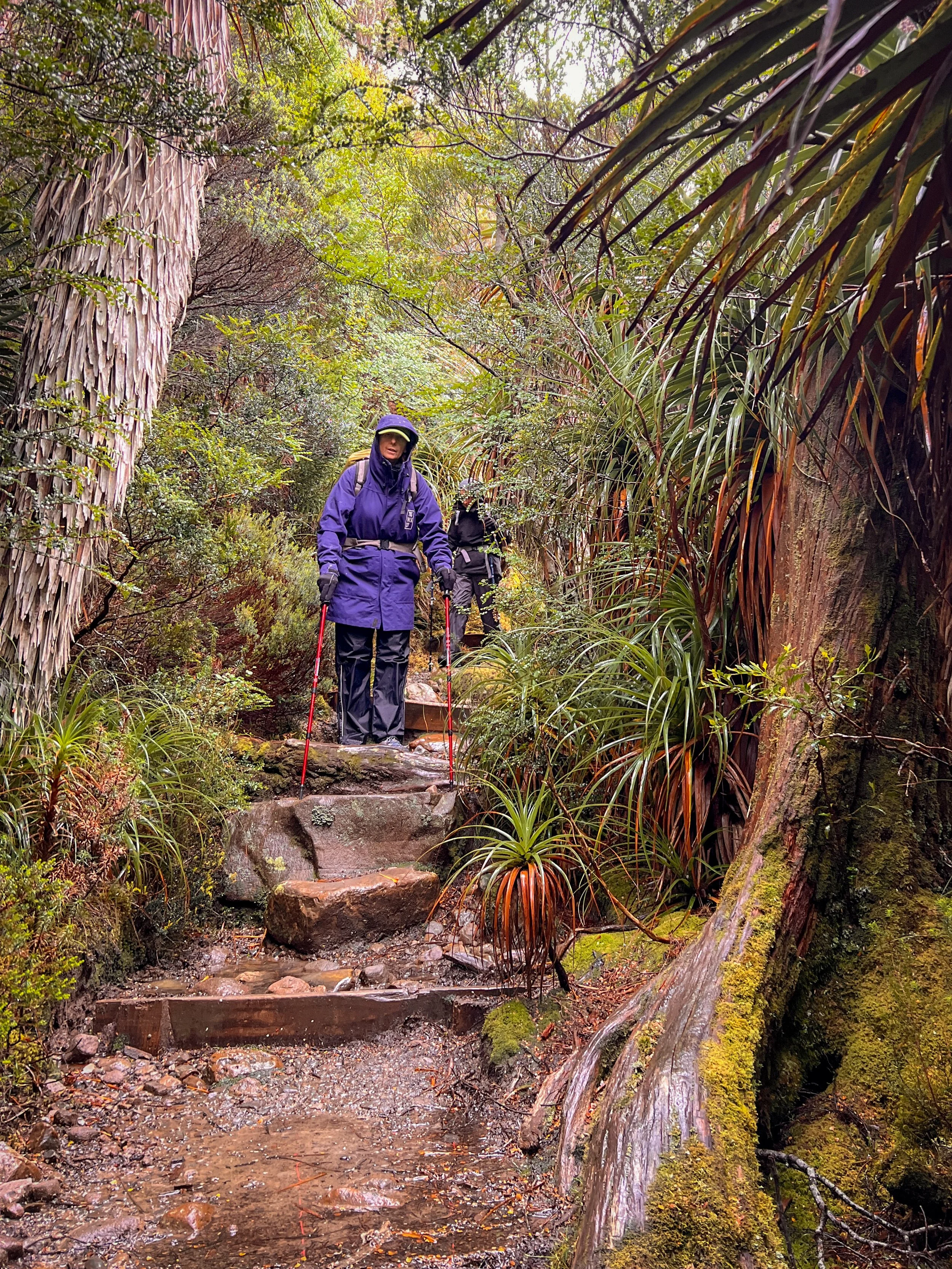
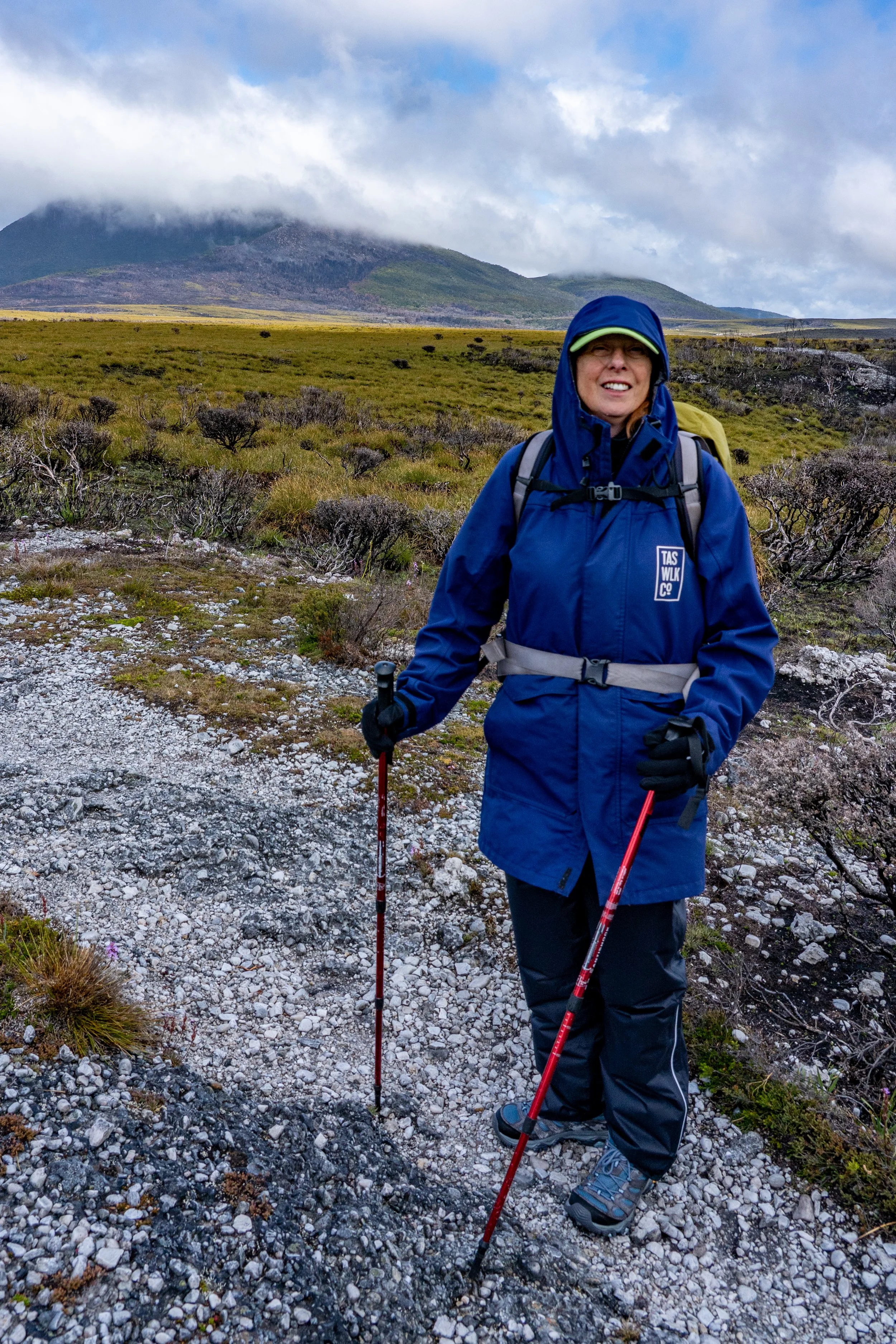
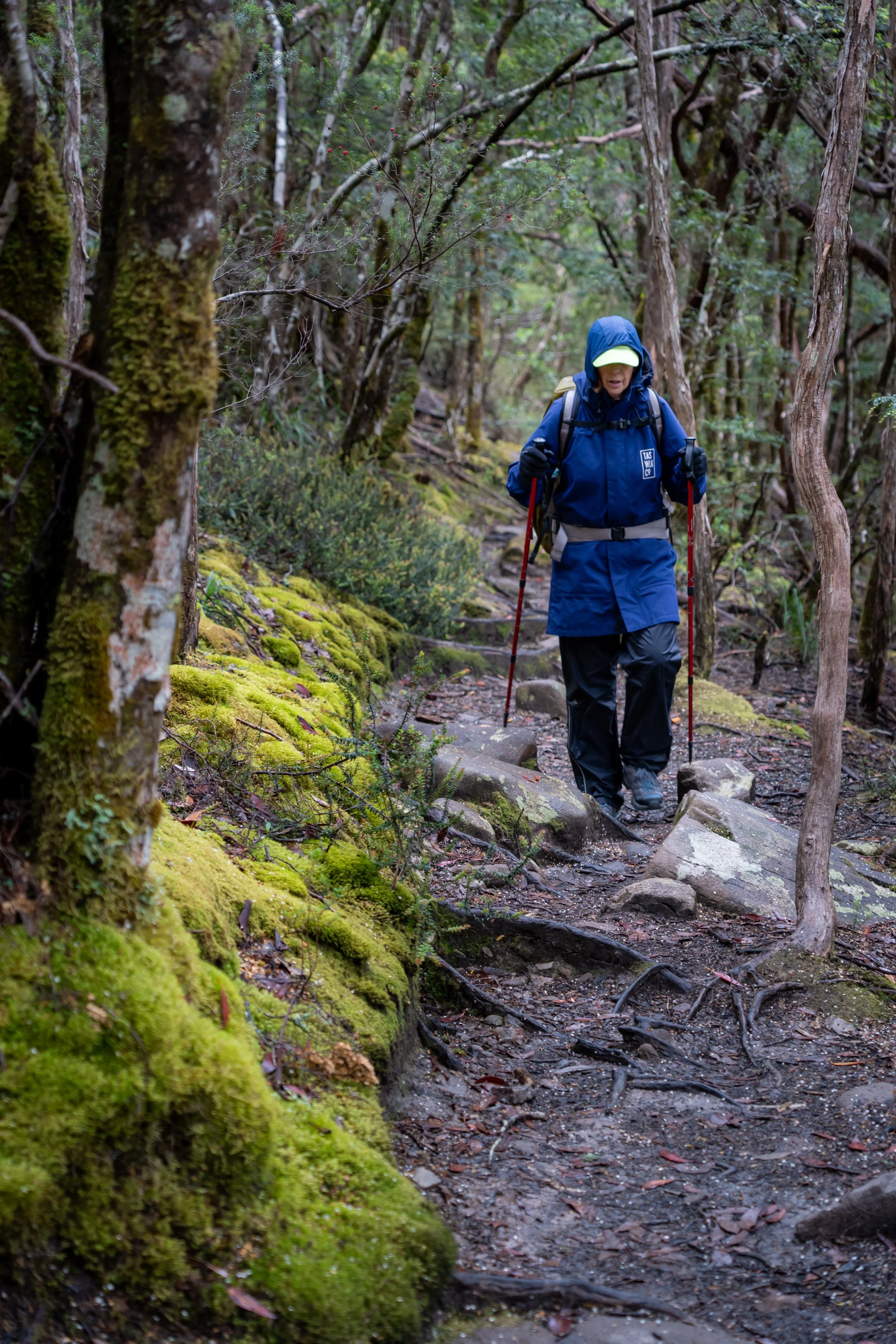
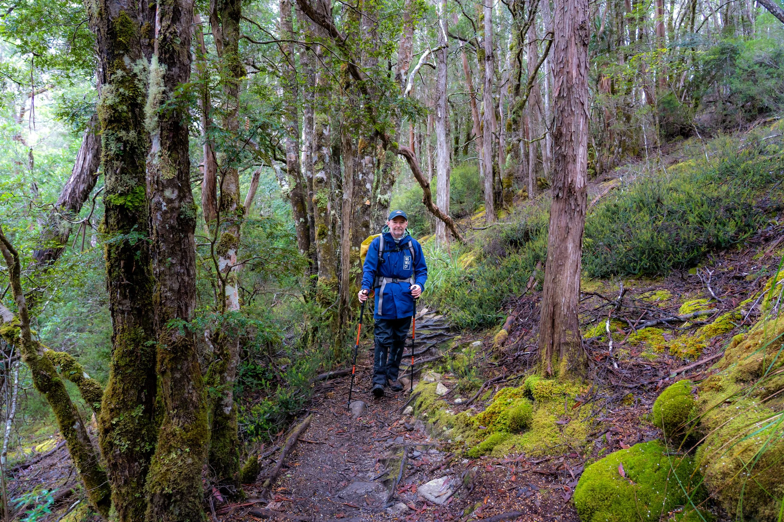
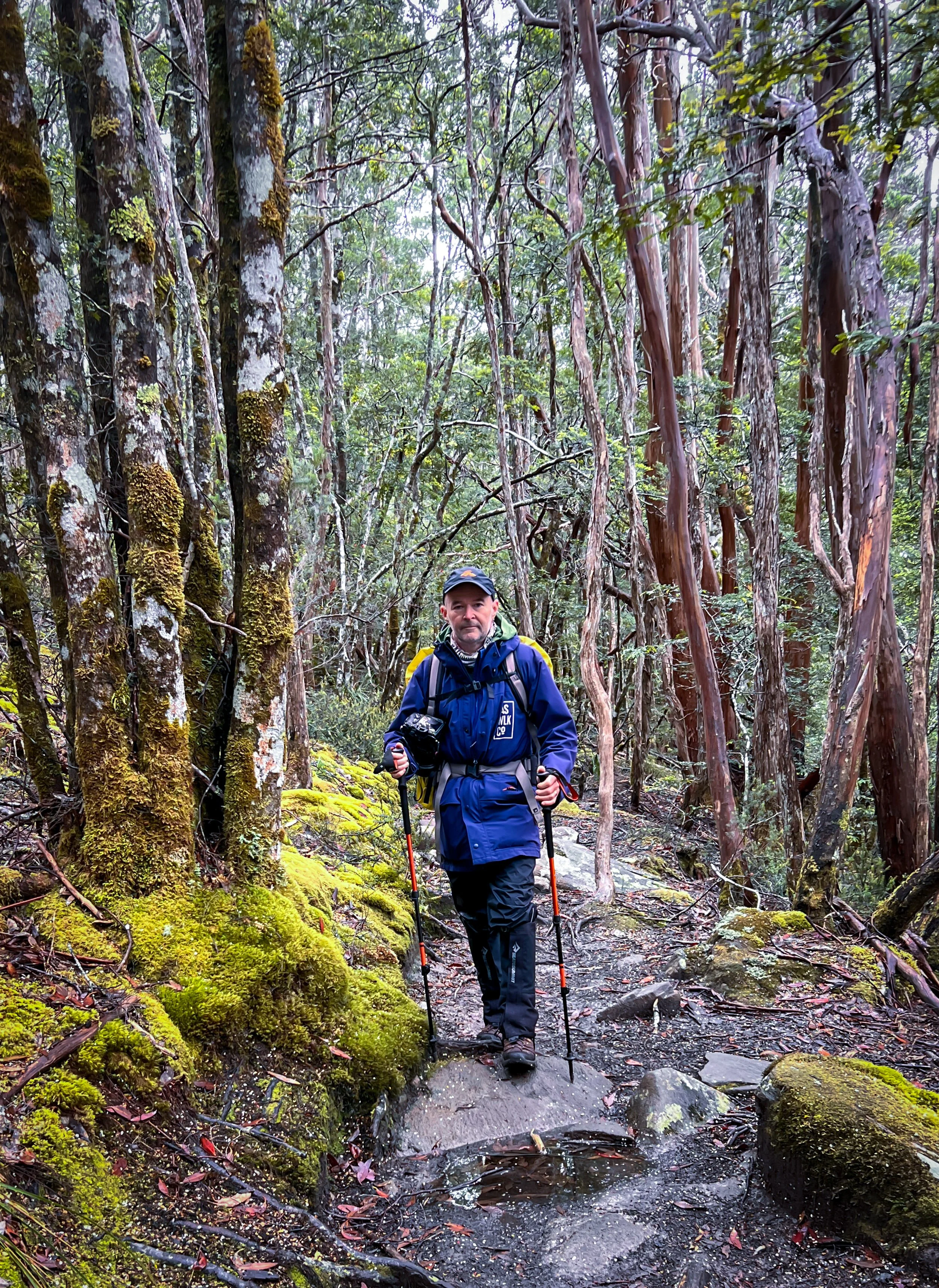
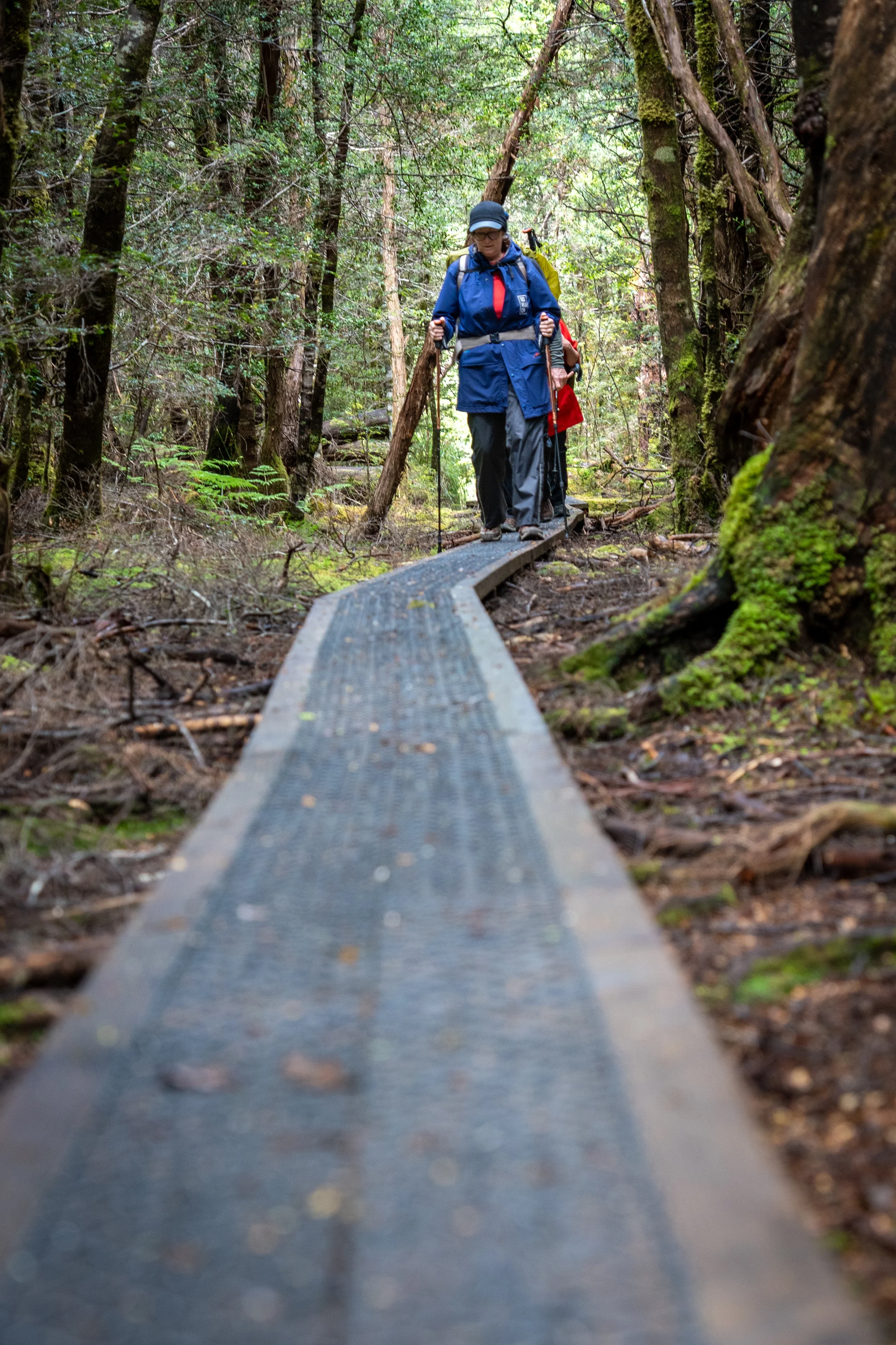
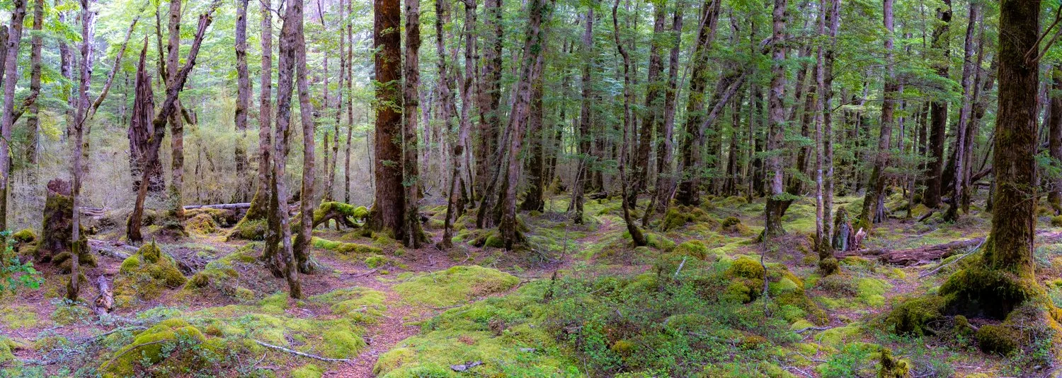
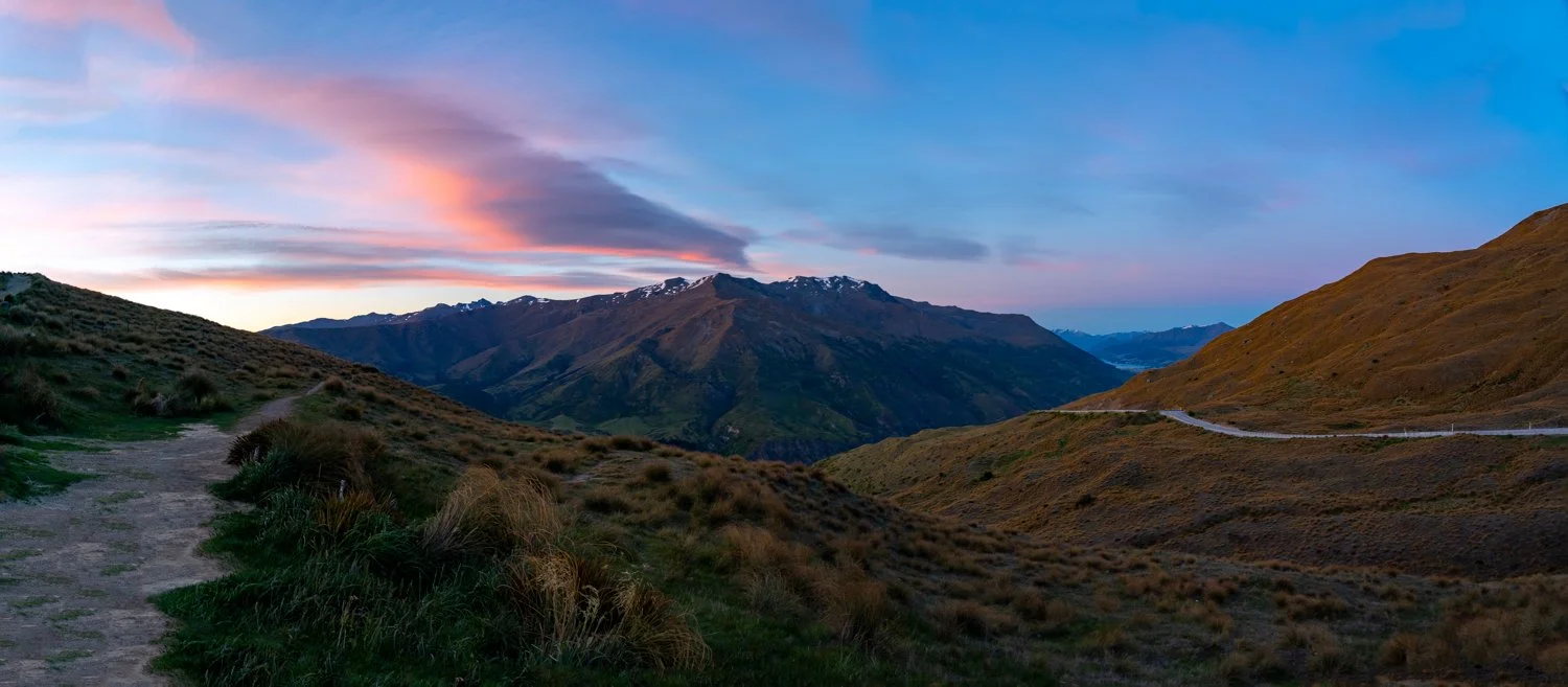
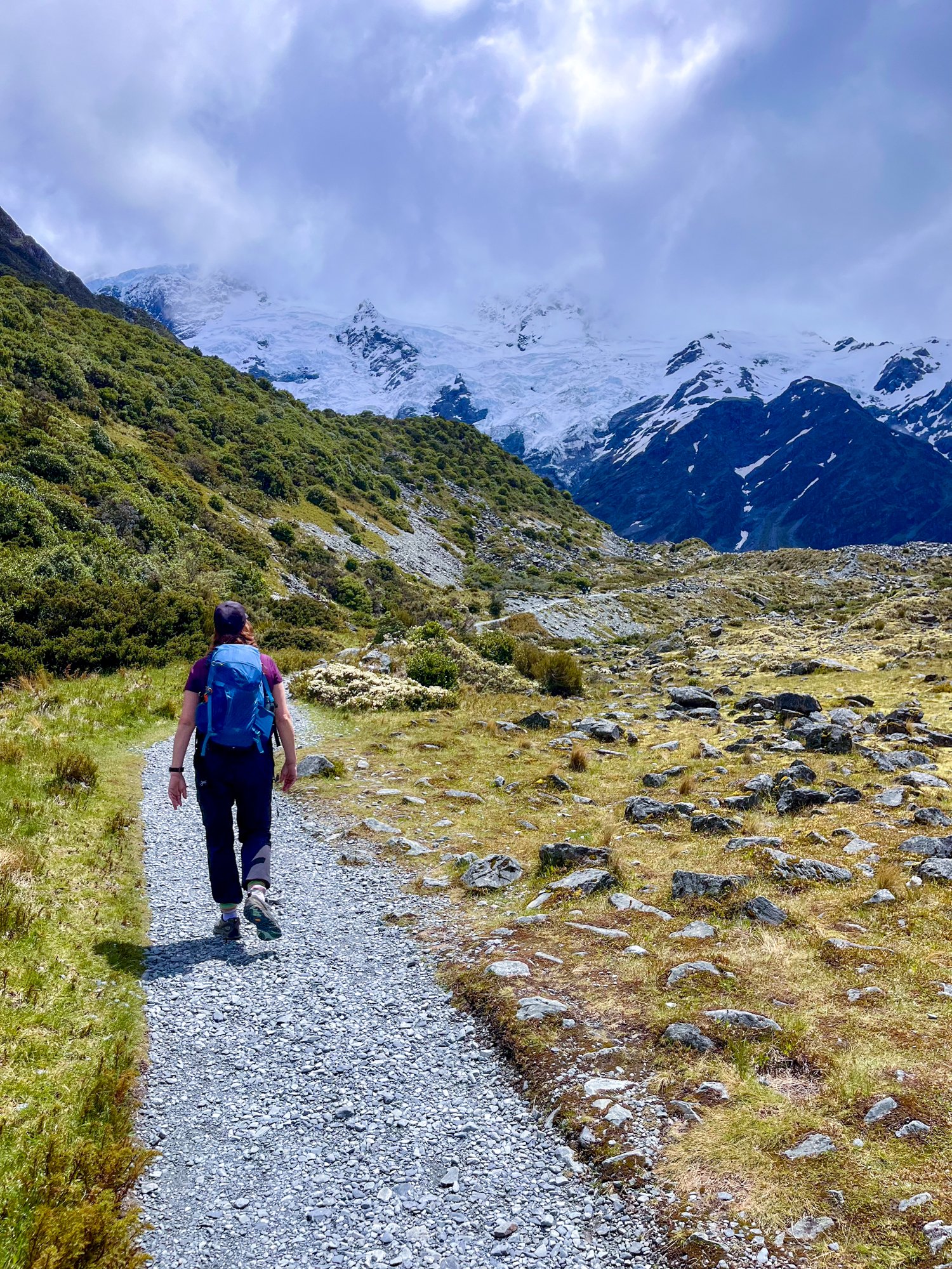
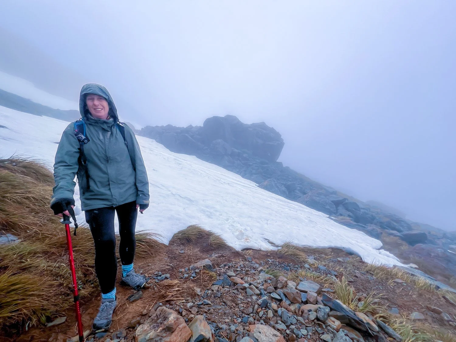
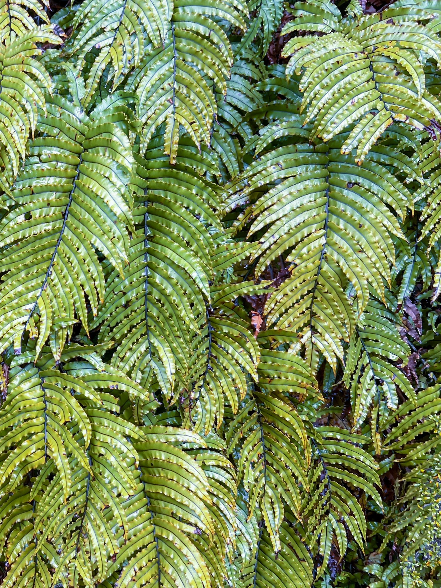
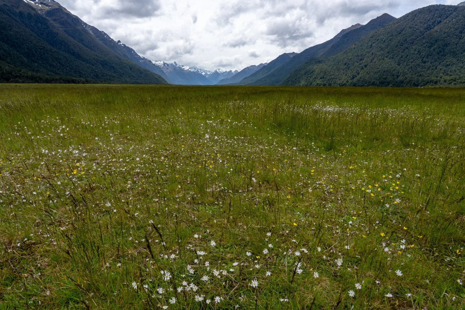
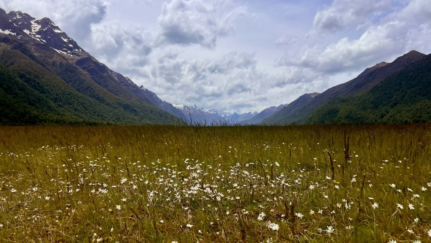
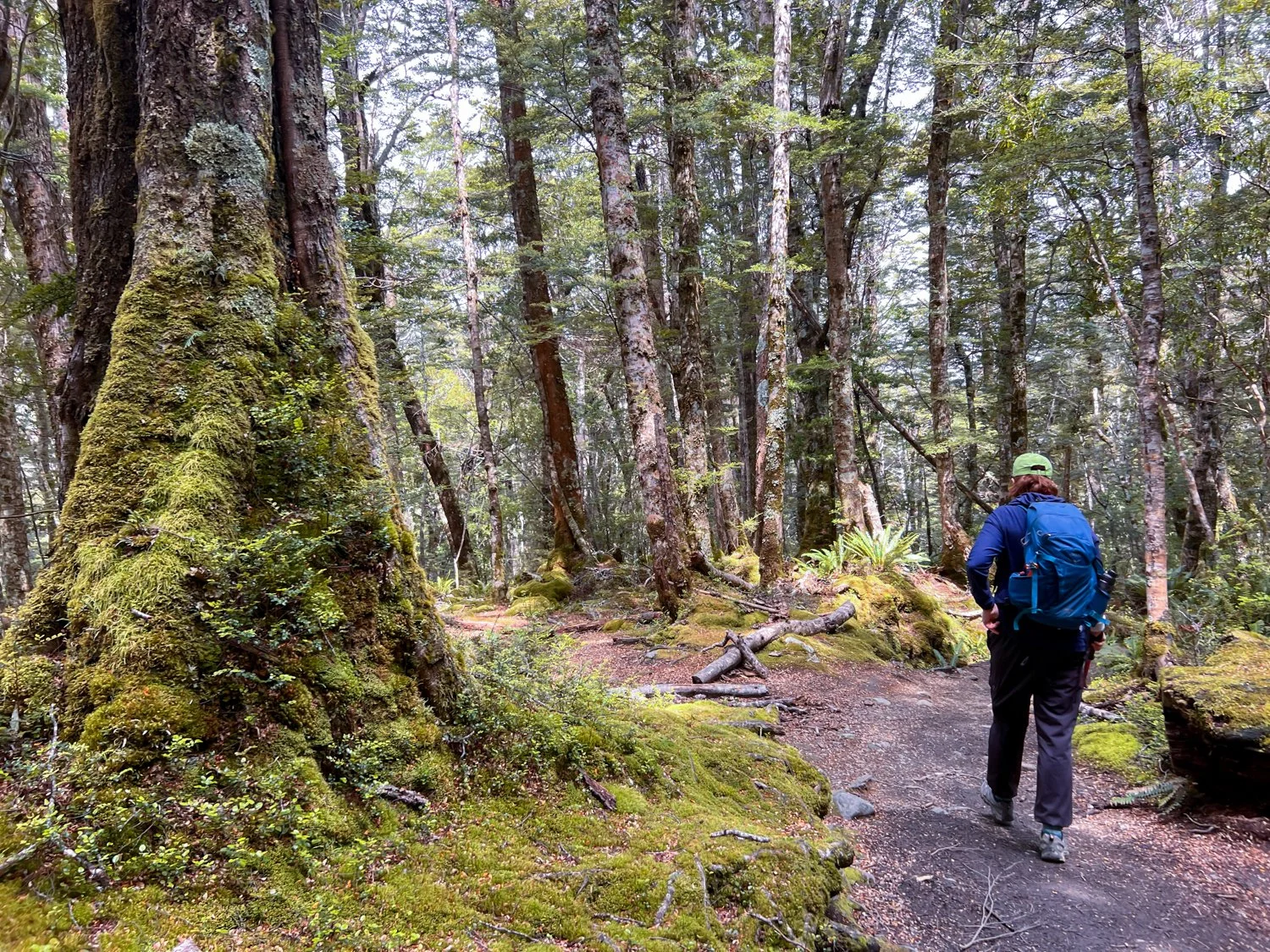
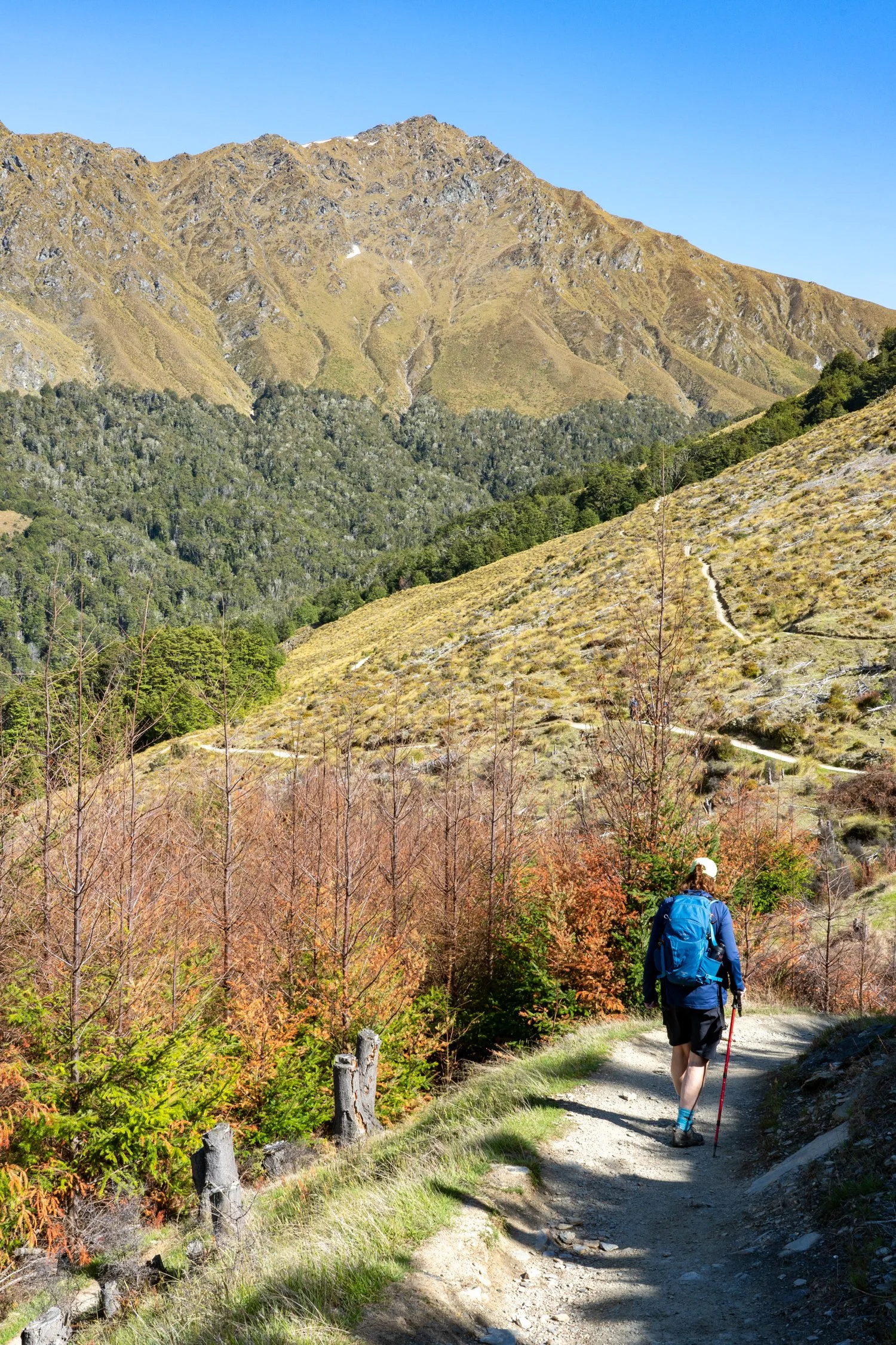
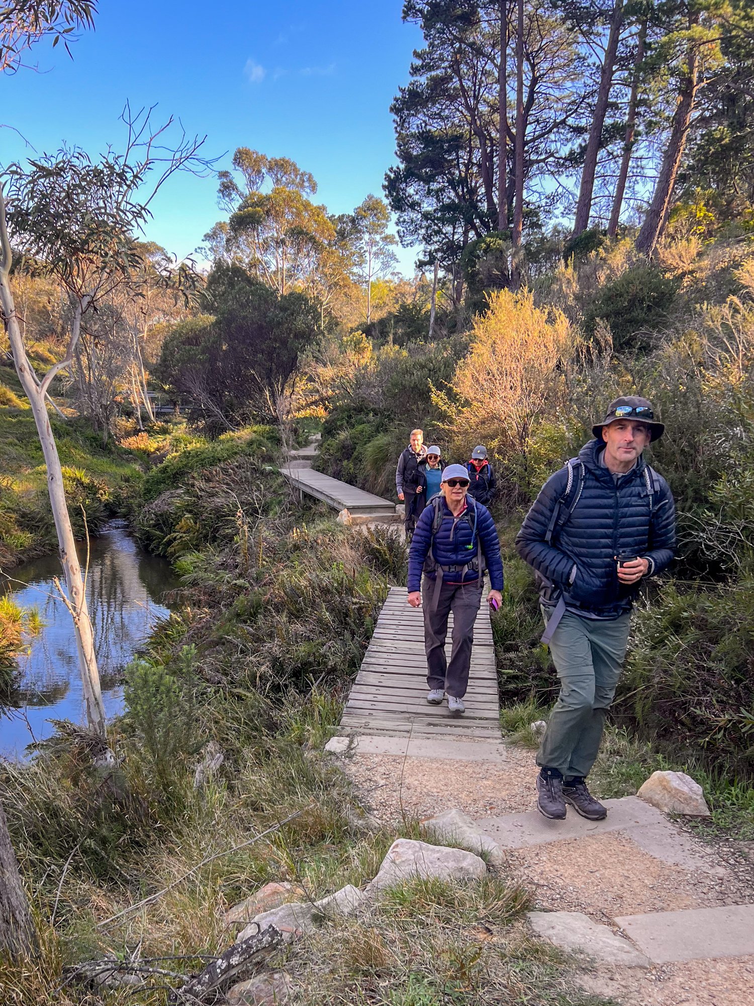
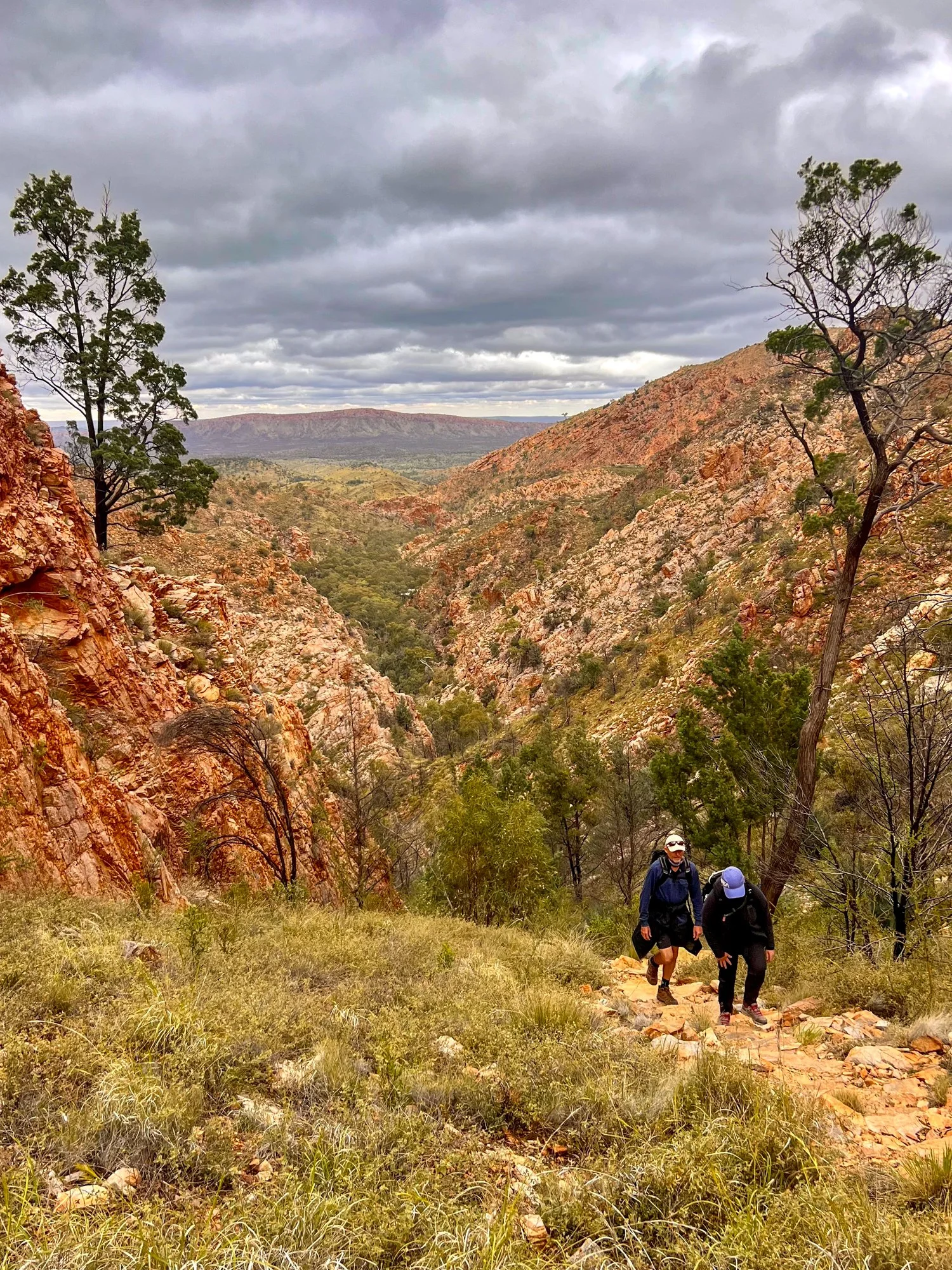
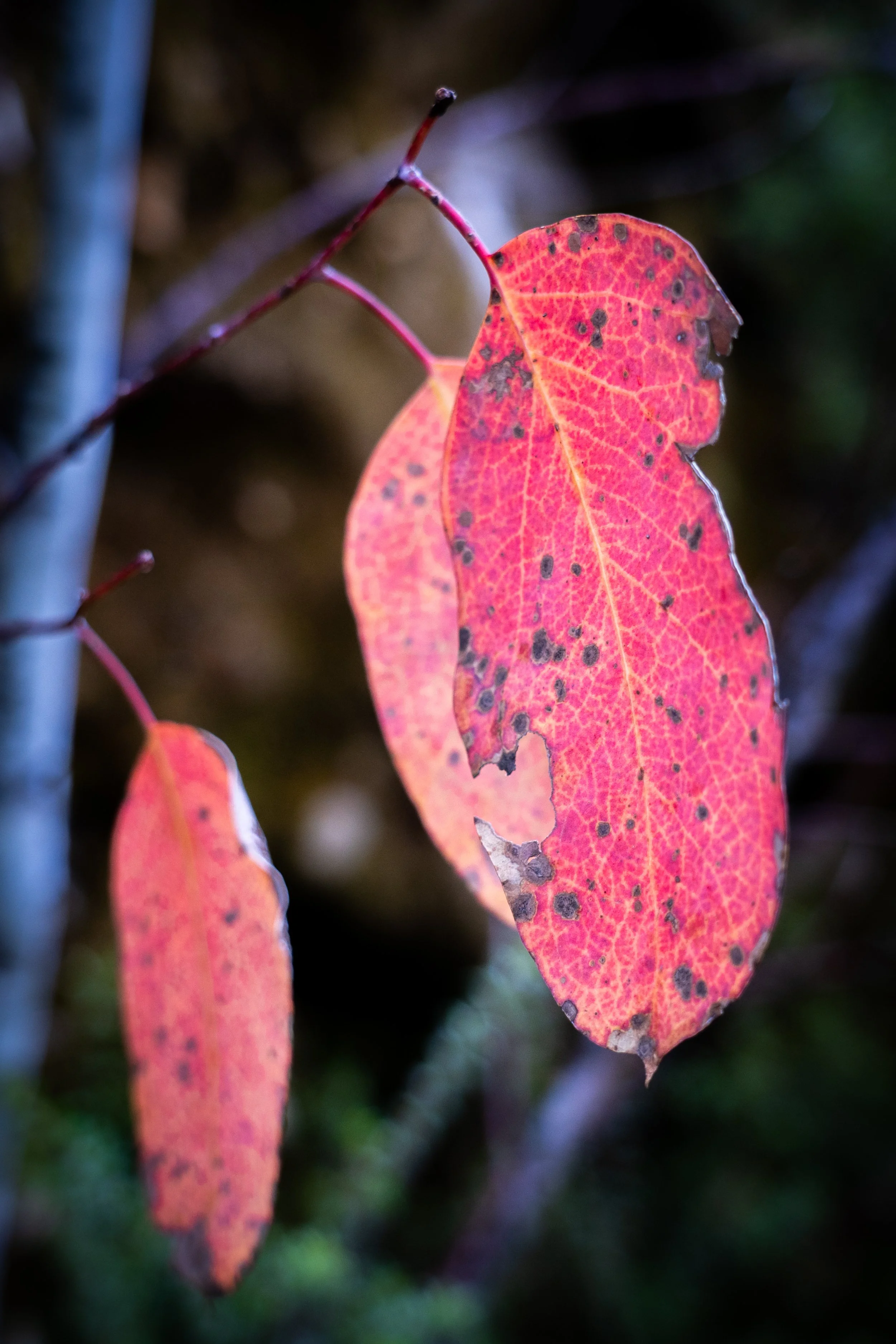
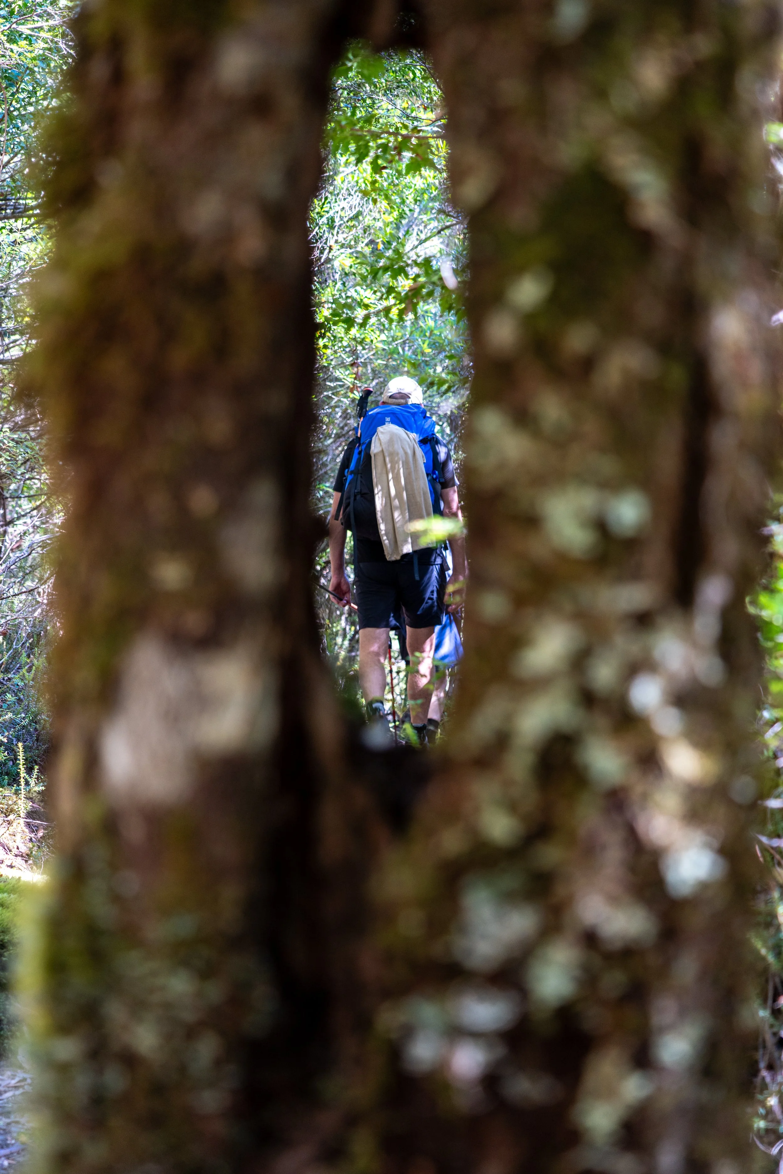
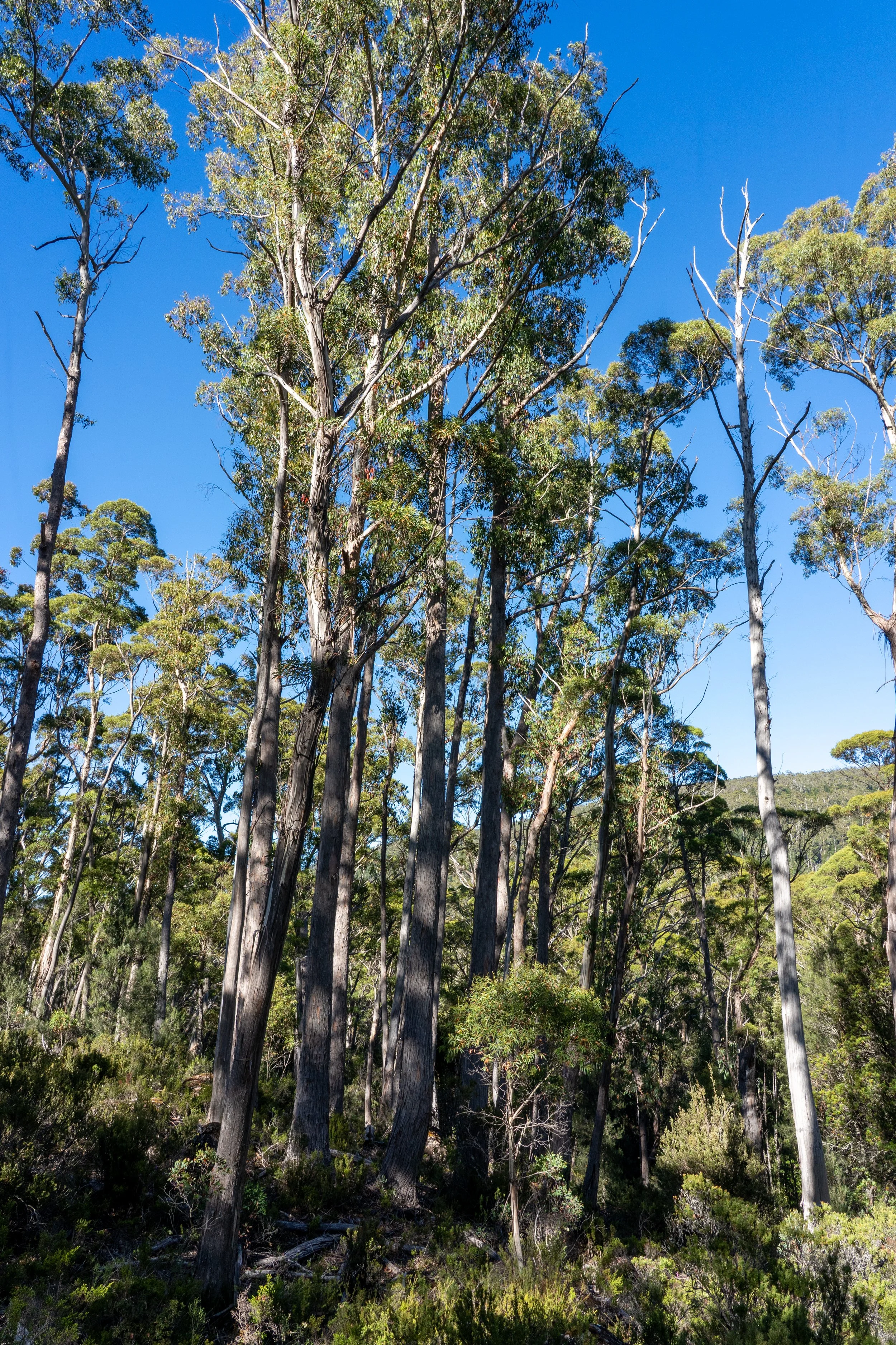
Leaving the hut, the offer of blue skies was a relief after rain and snow from the first few days. Unfortunately, the thick canopy of beech rainforest decided to keep this good news hidden from us for at least the next couple of hours.
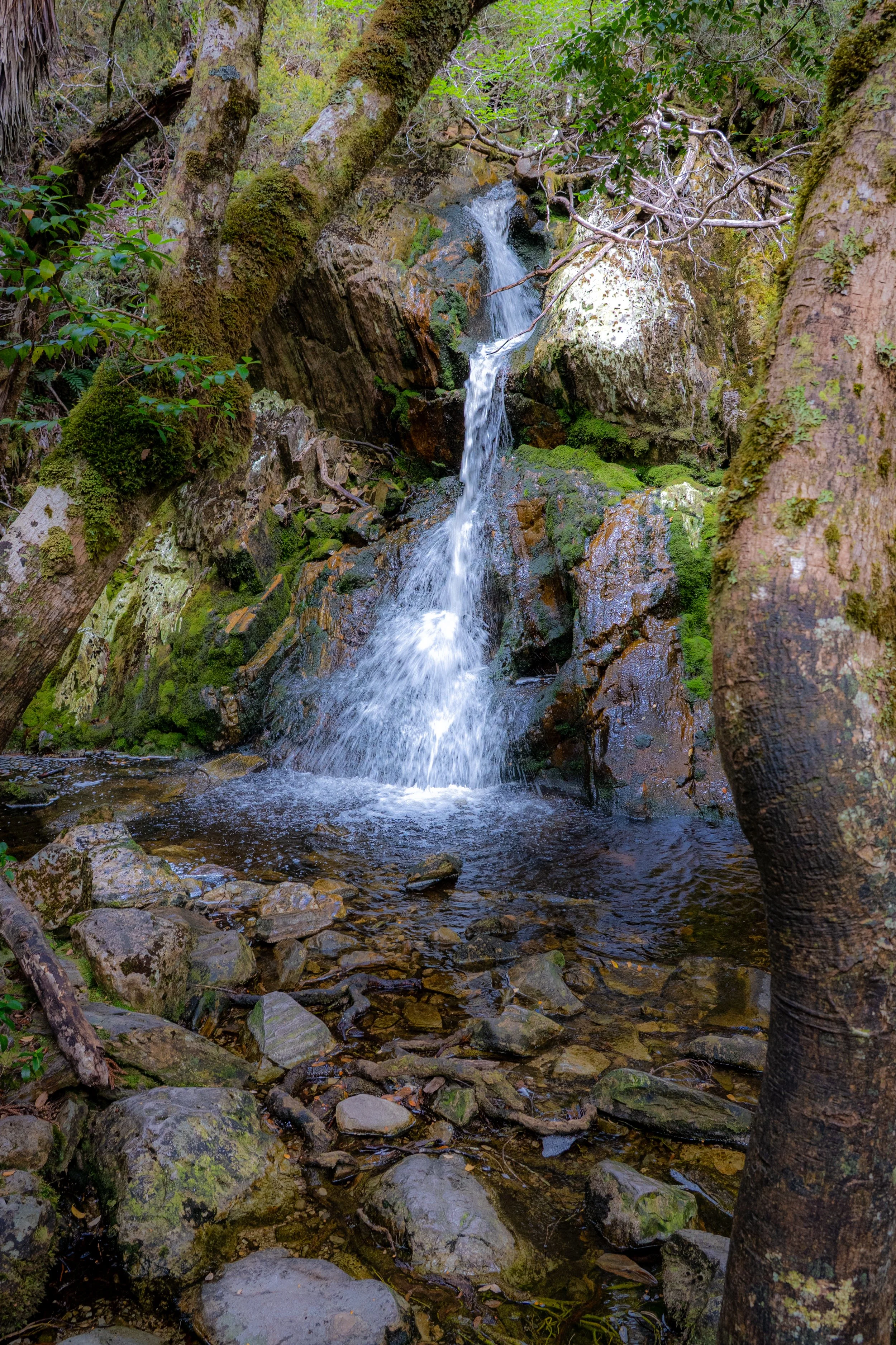
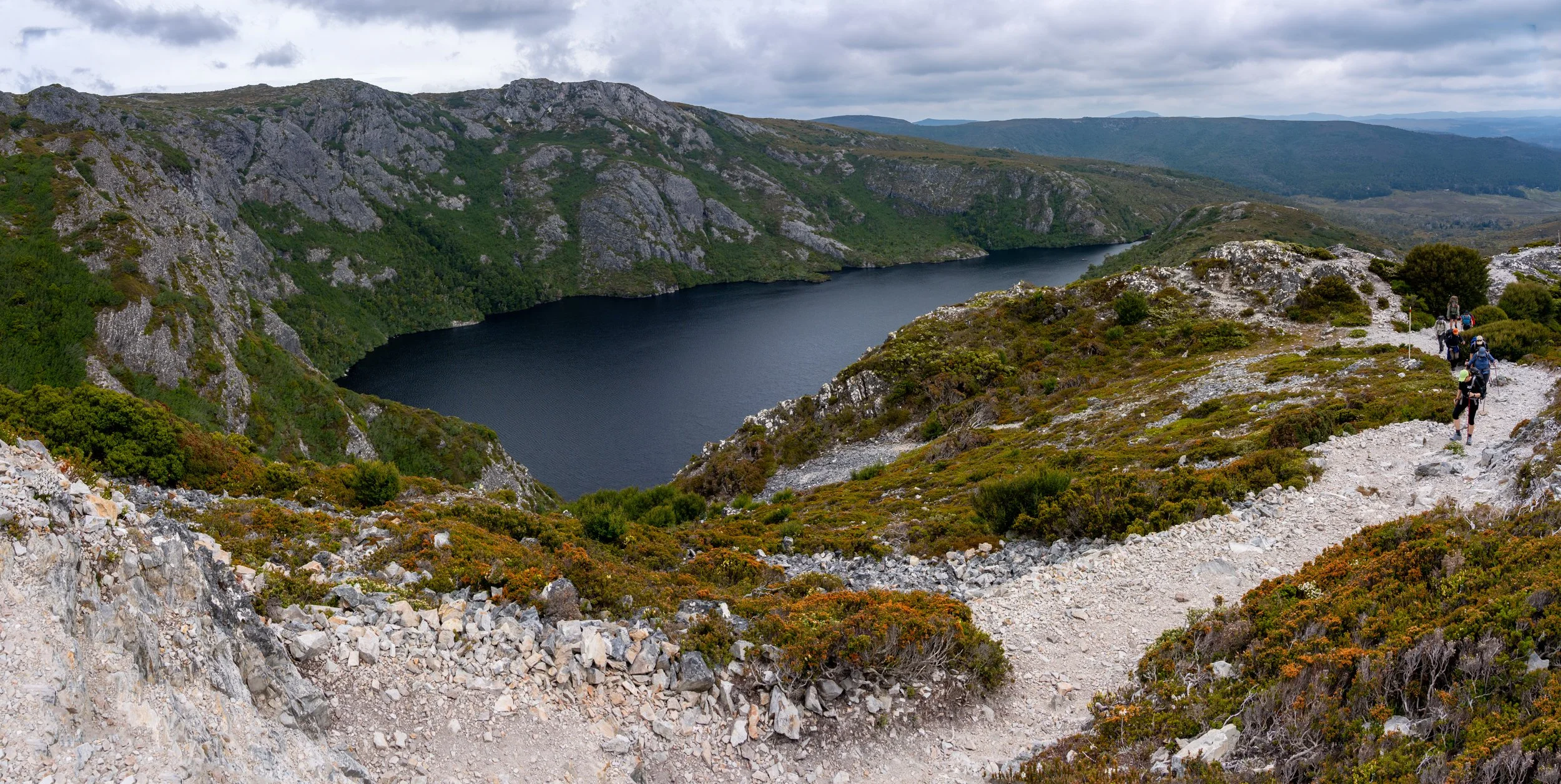
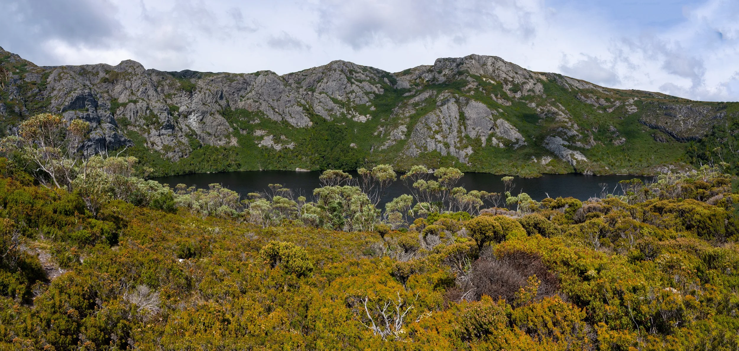
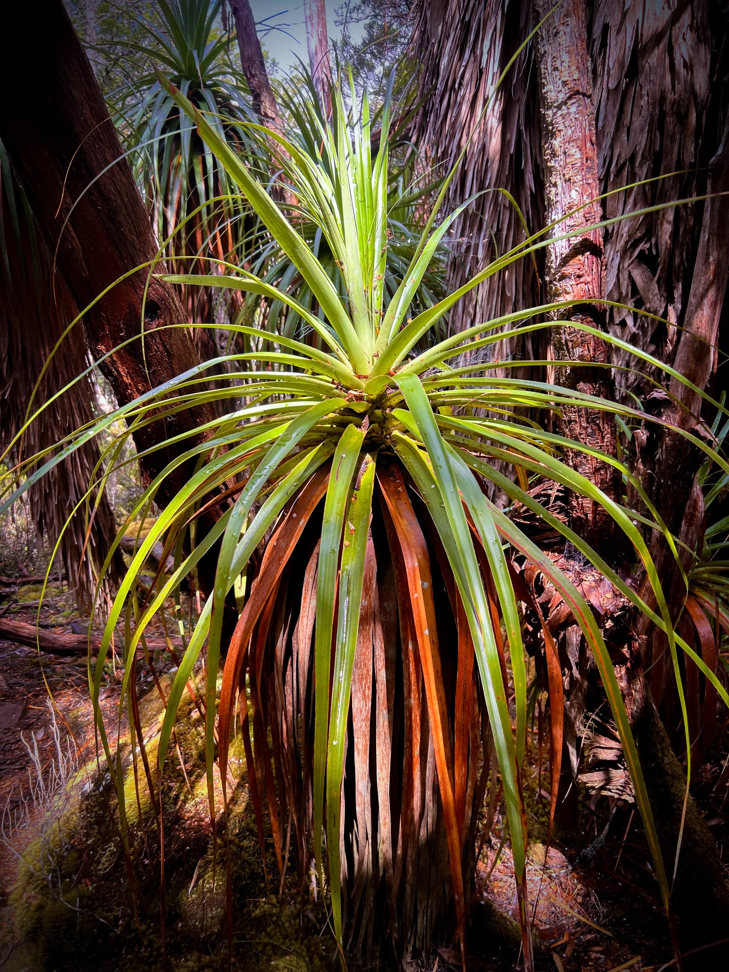
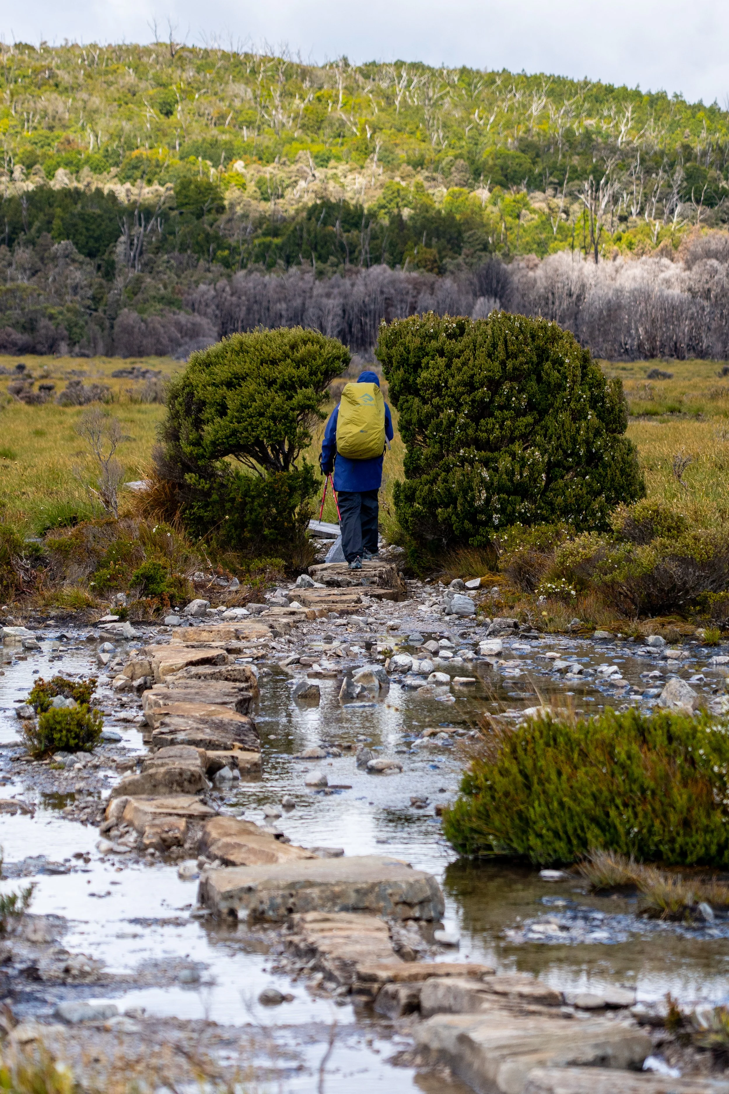
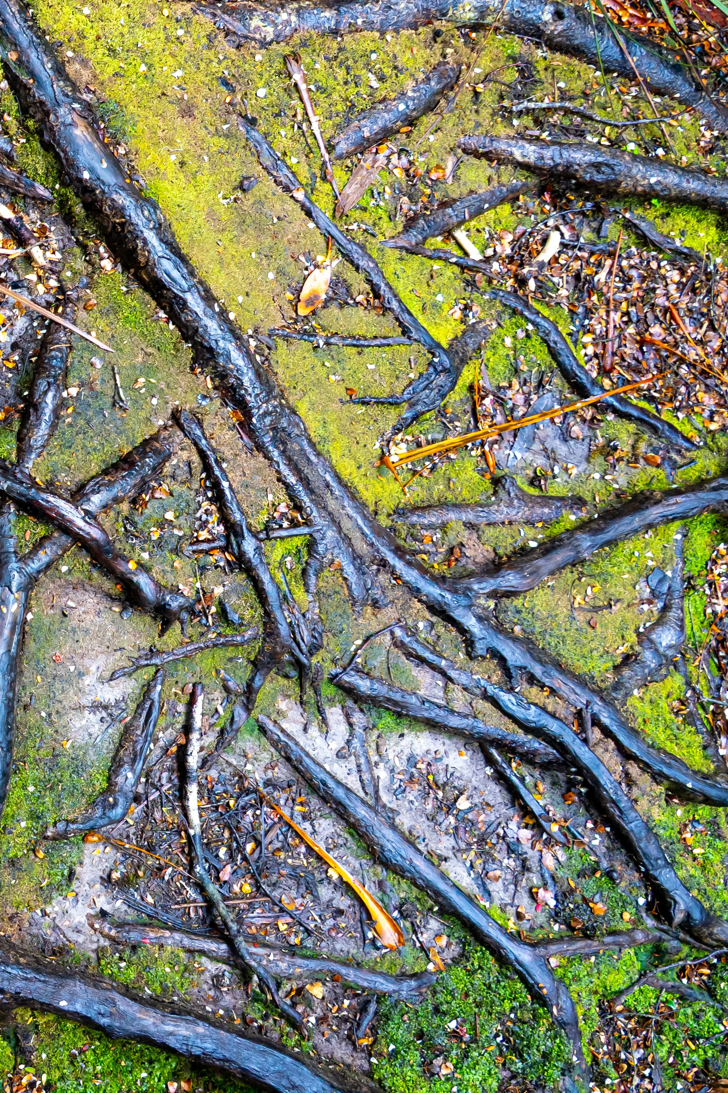
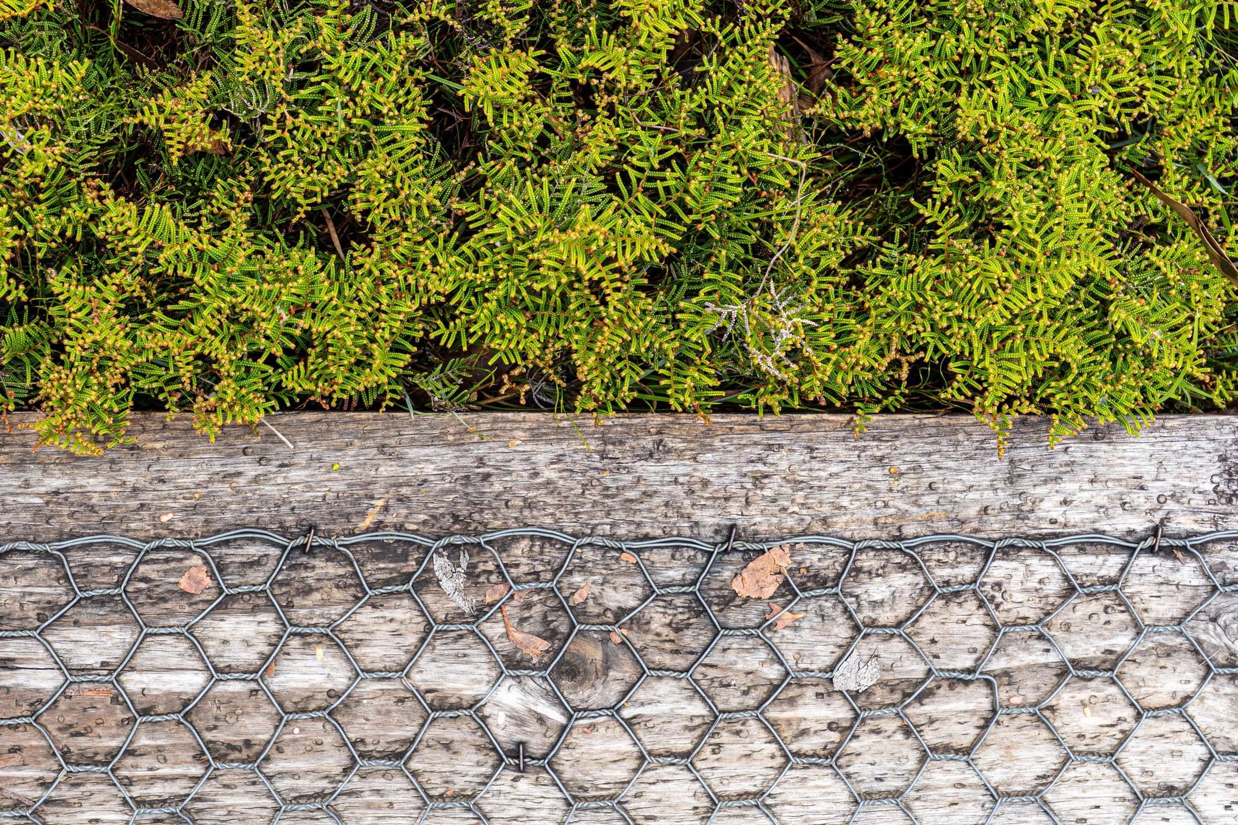
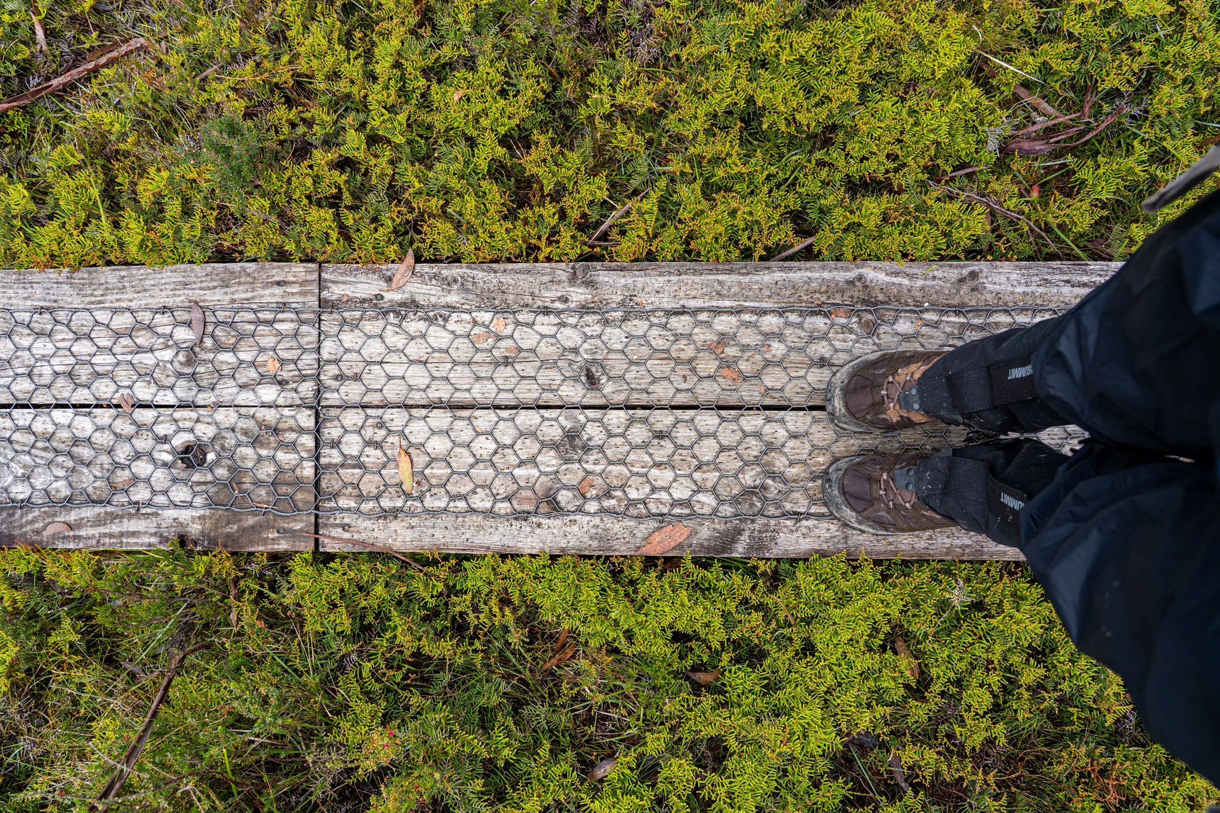
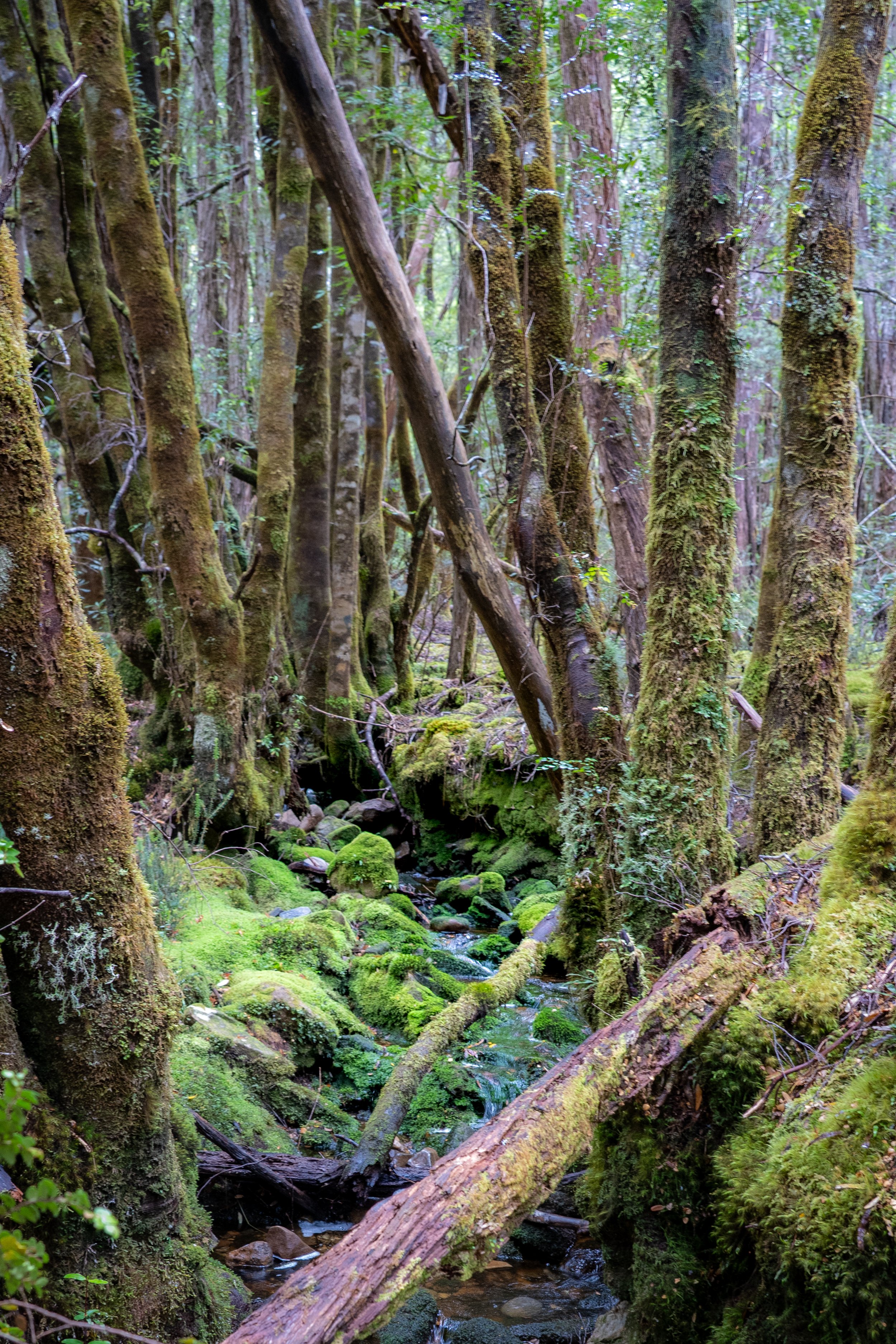
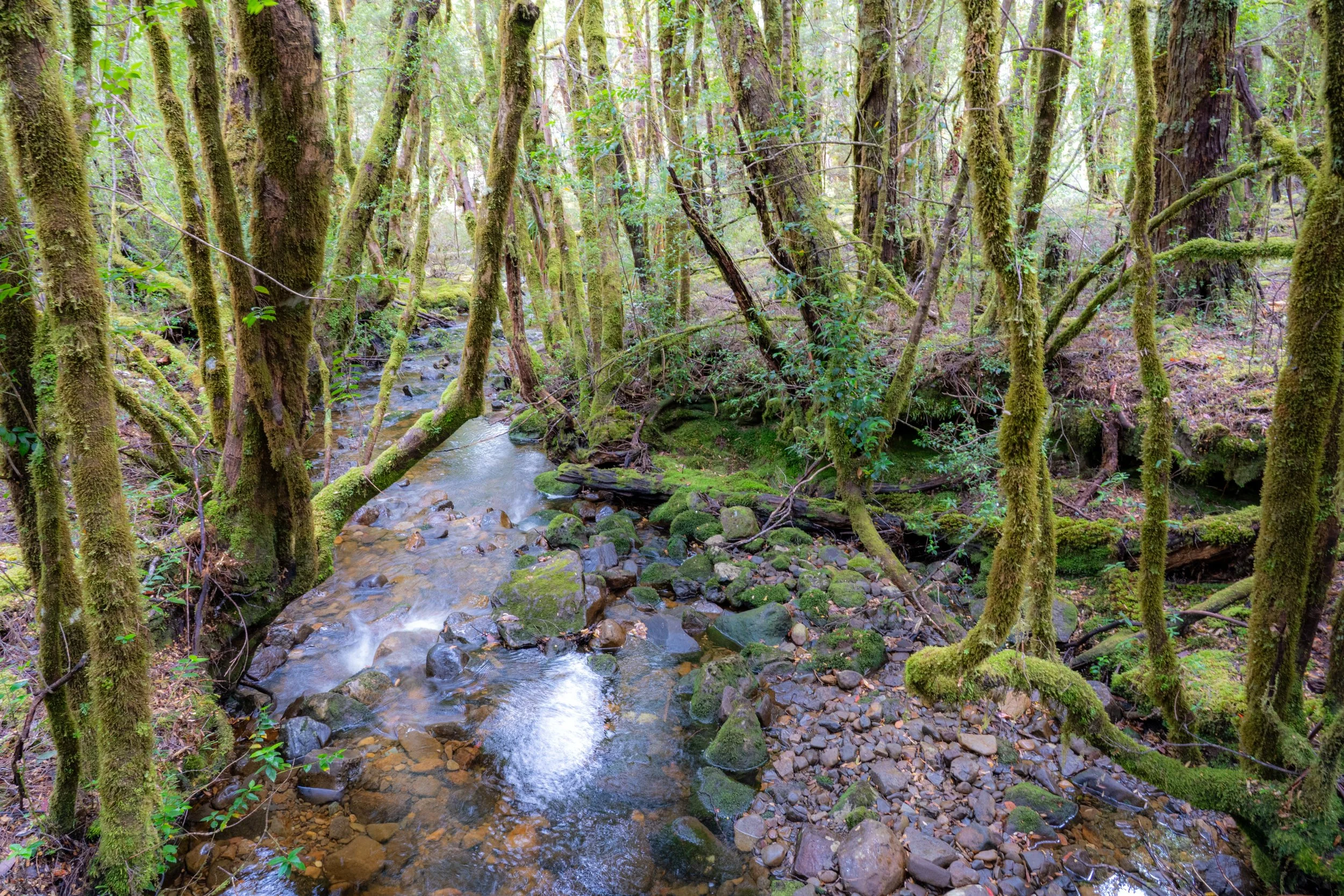
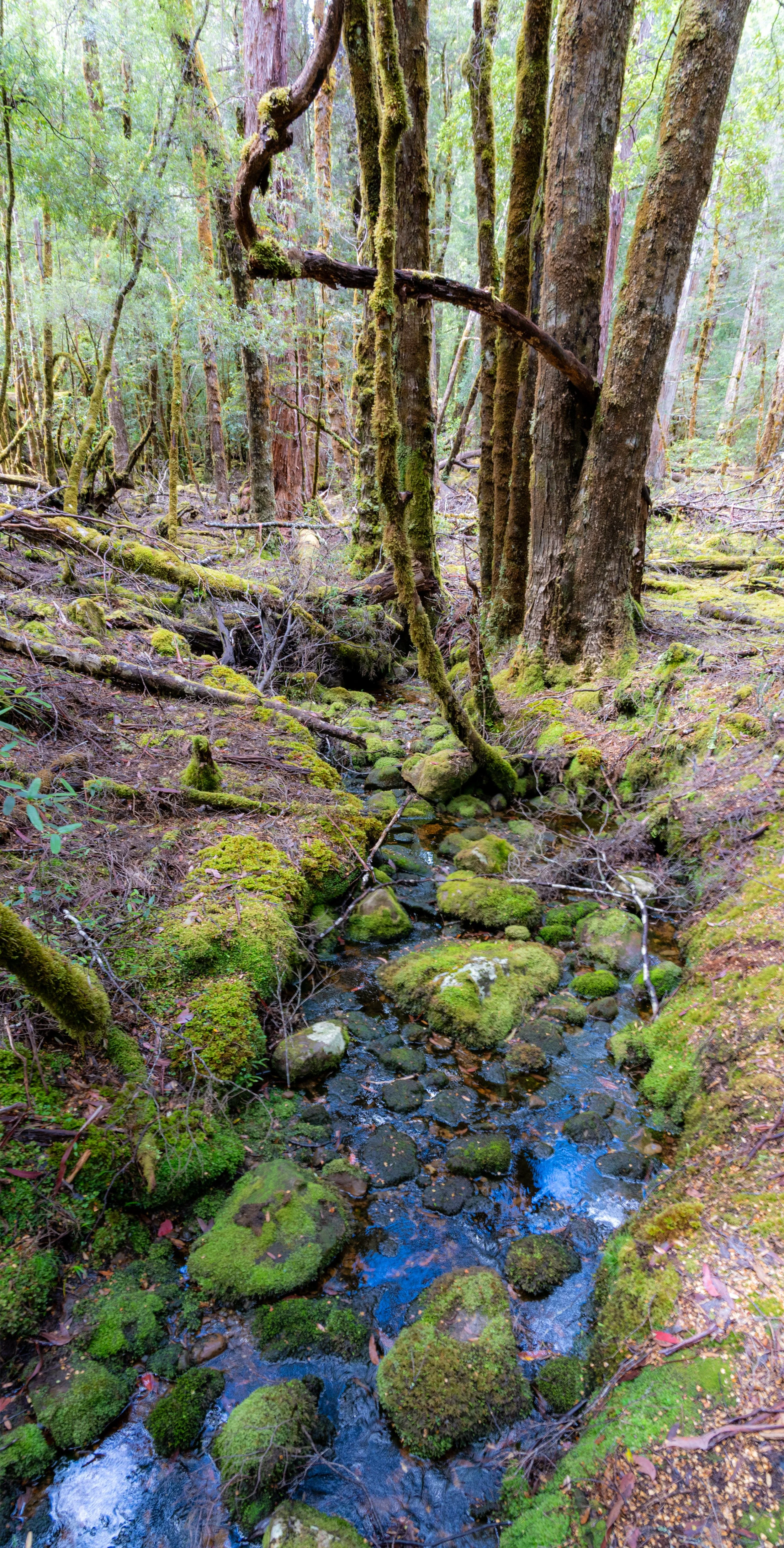
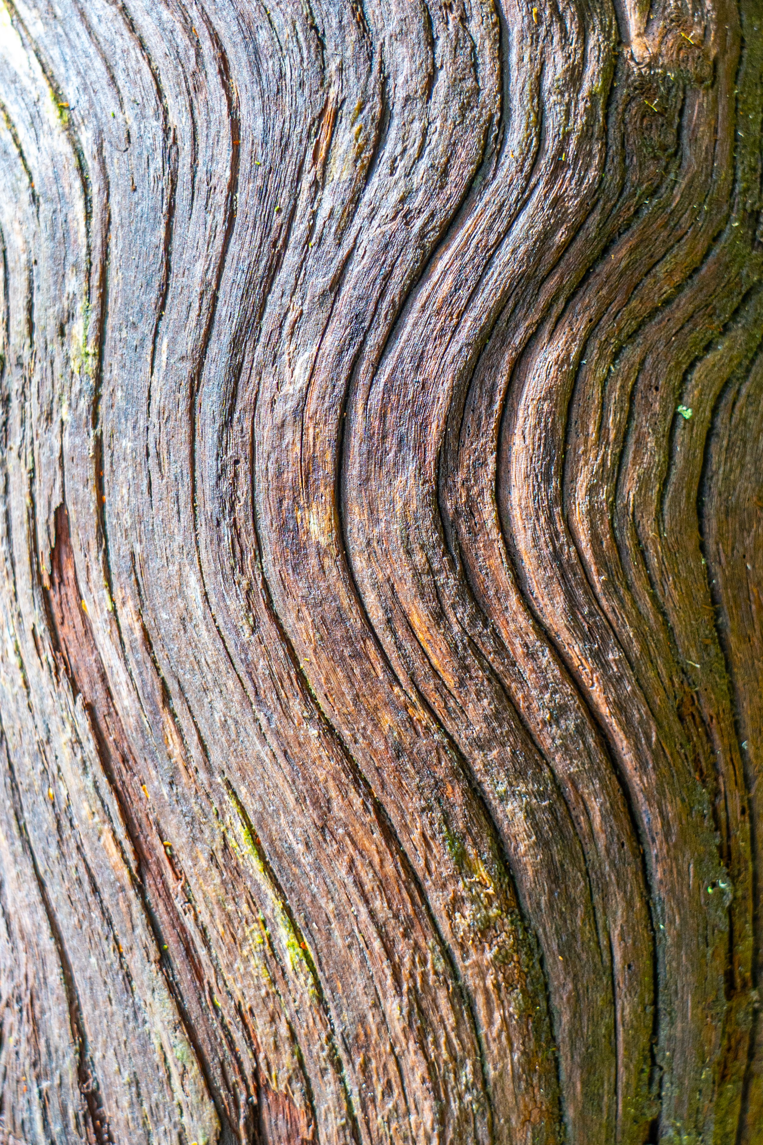
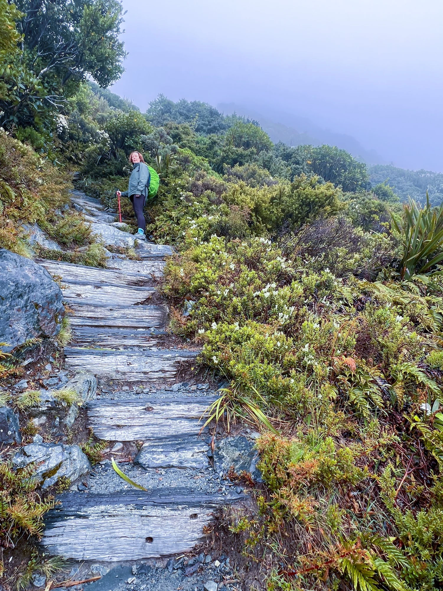
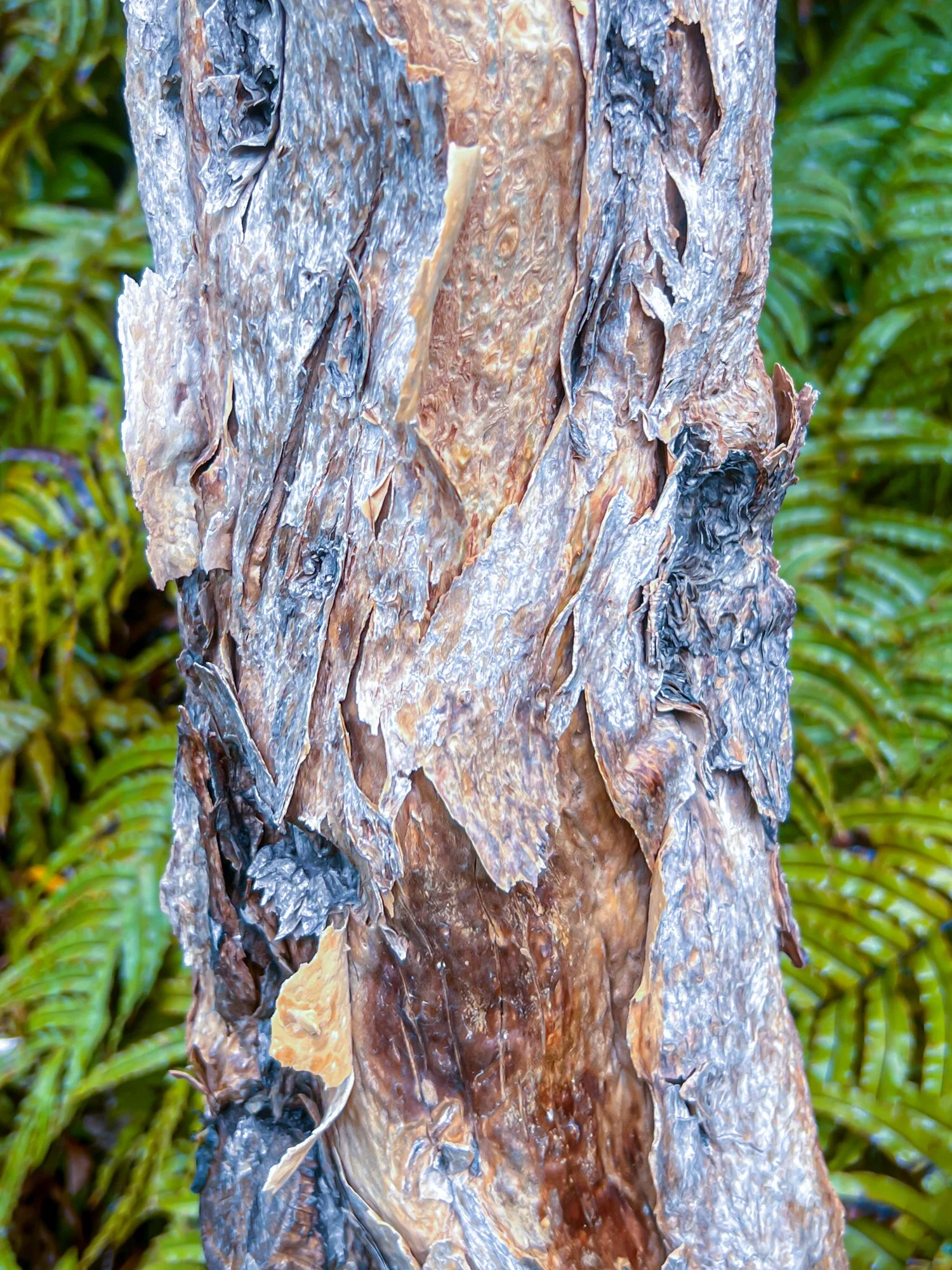
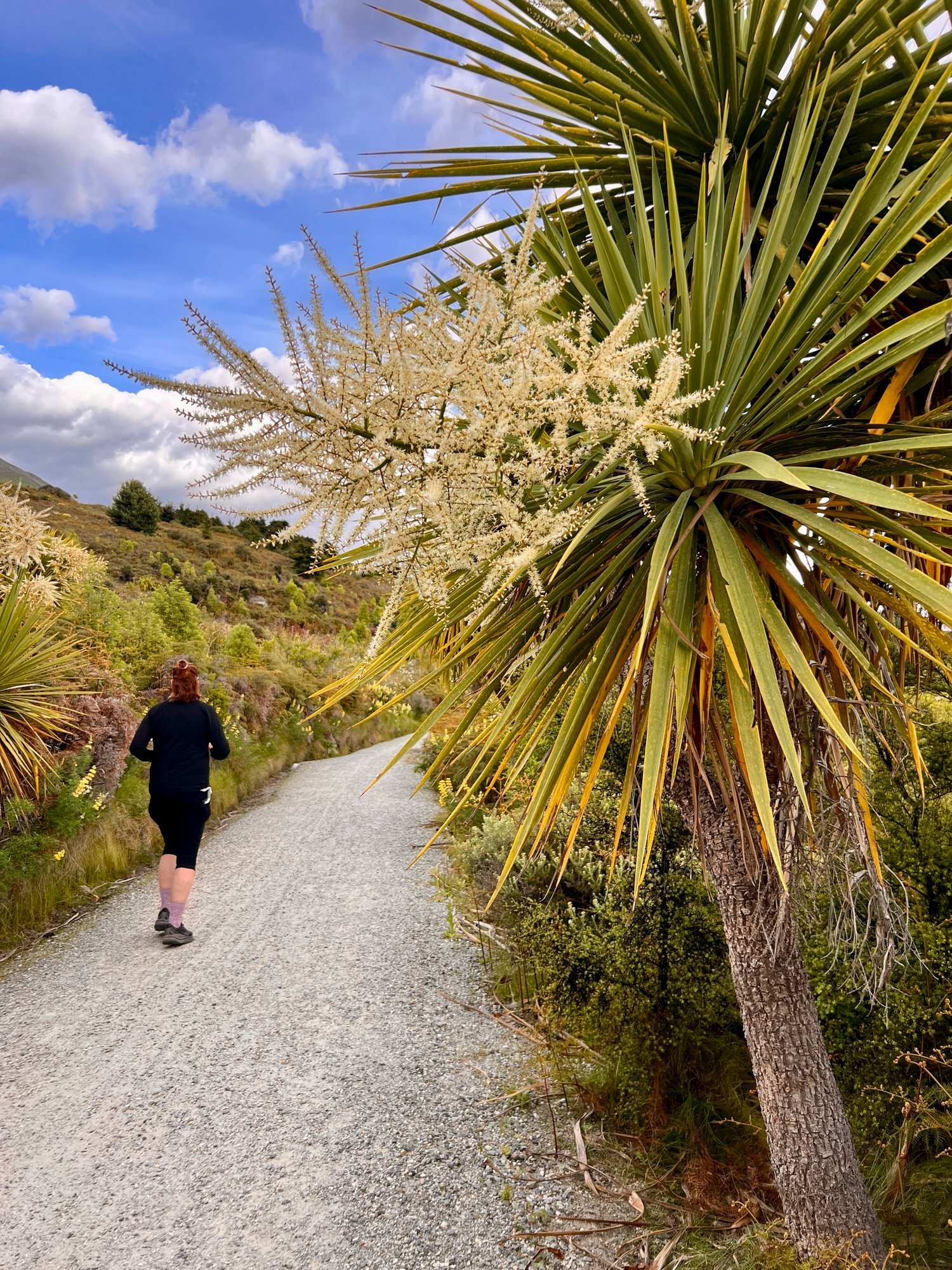
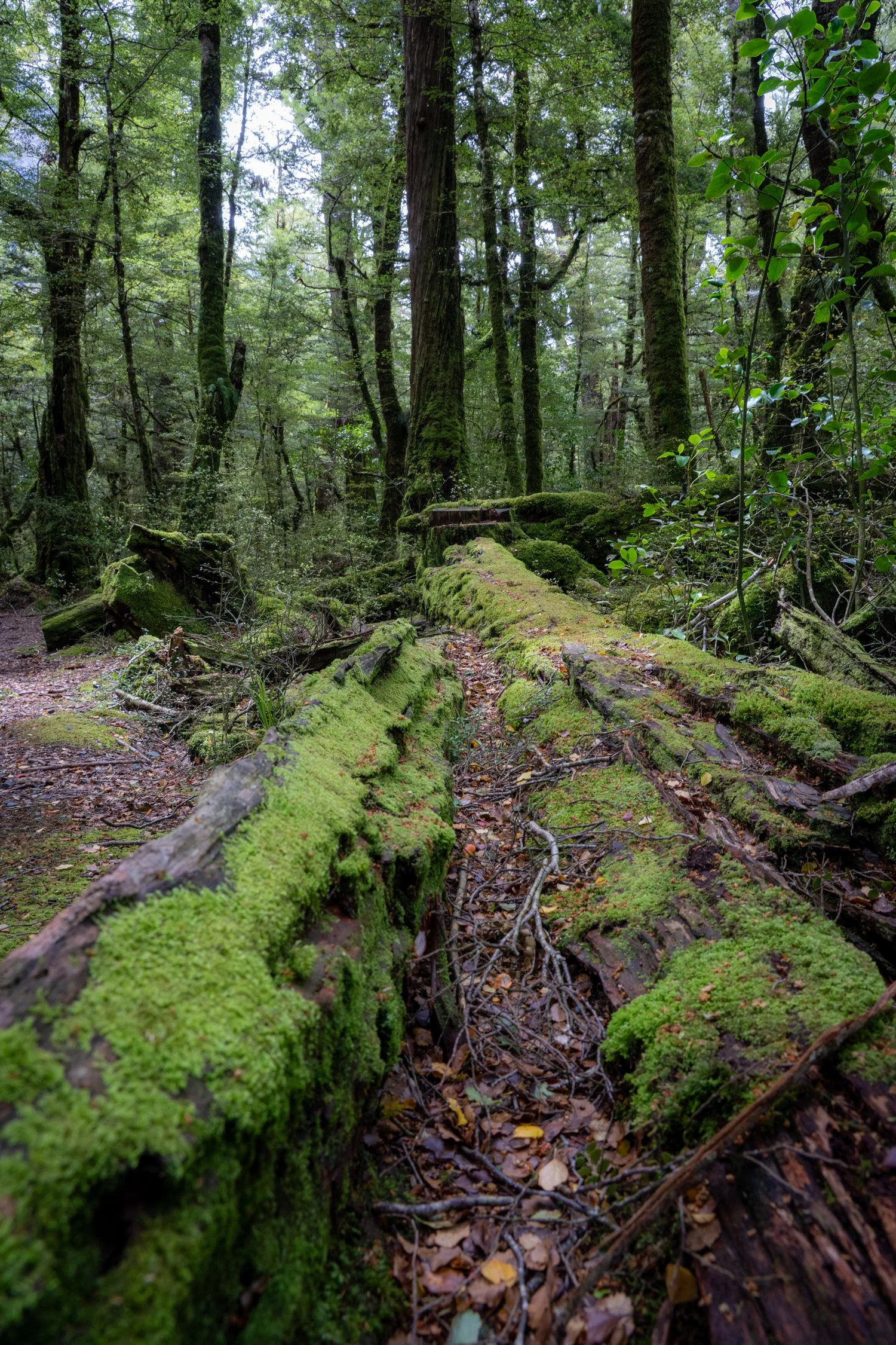
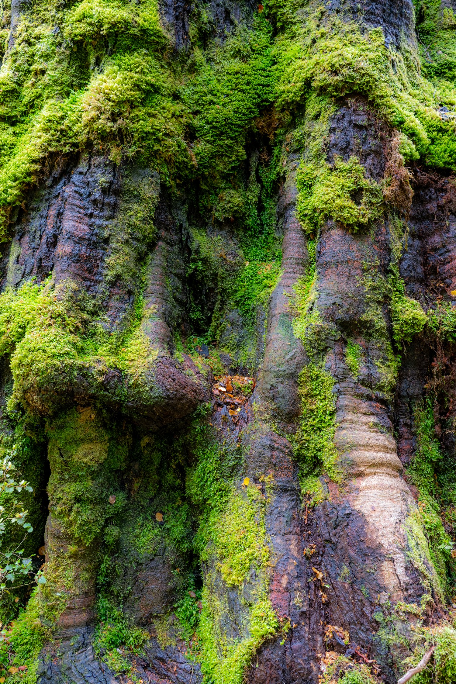
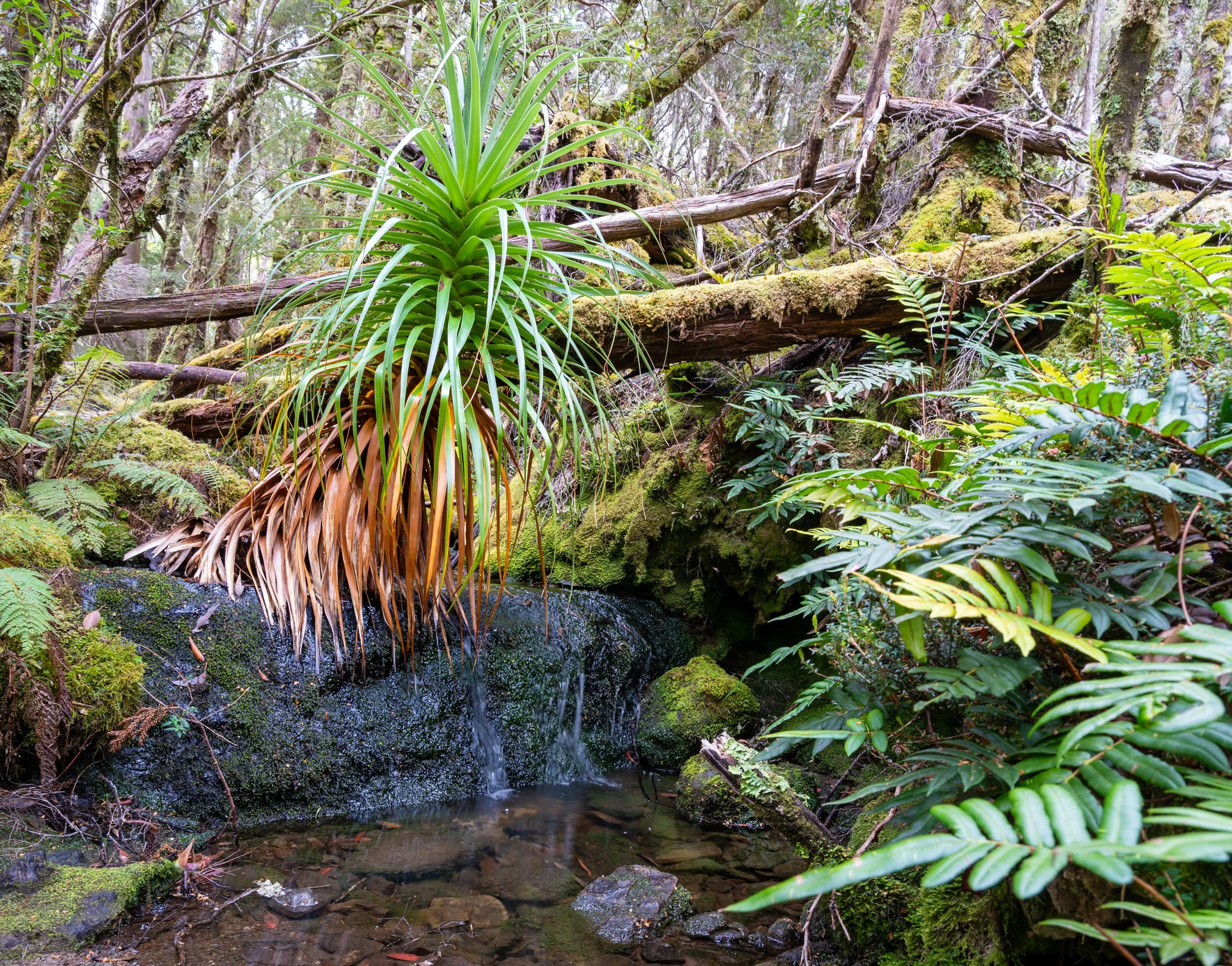
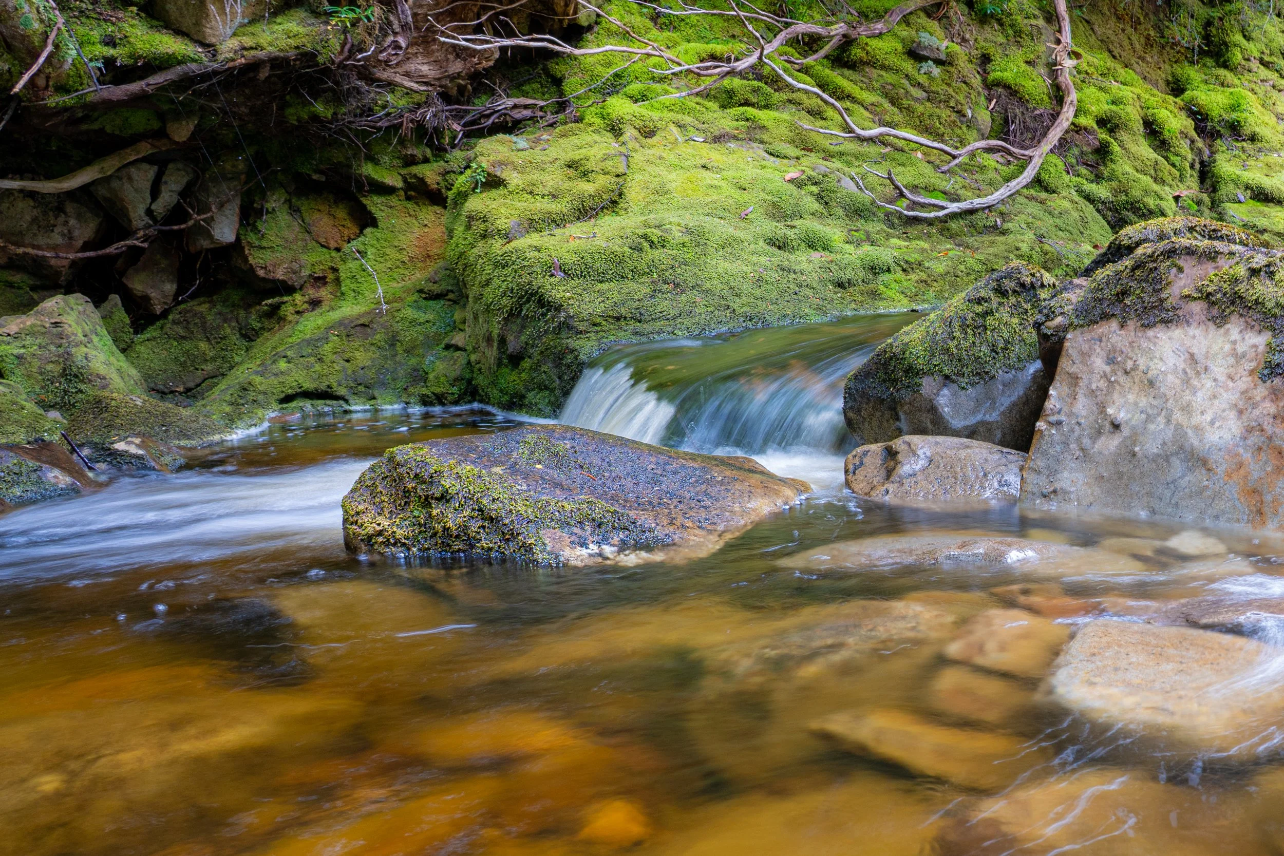
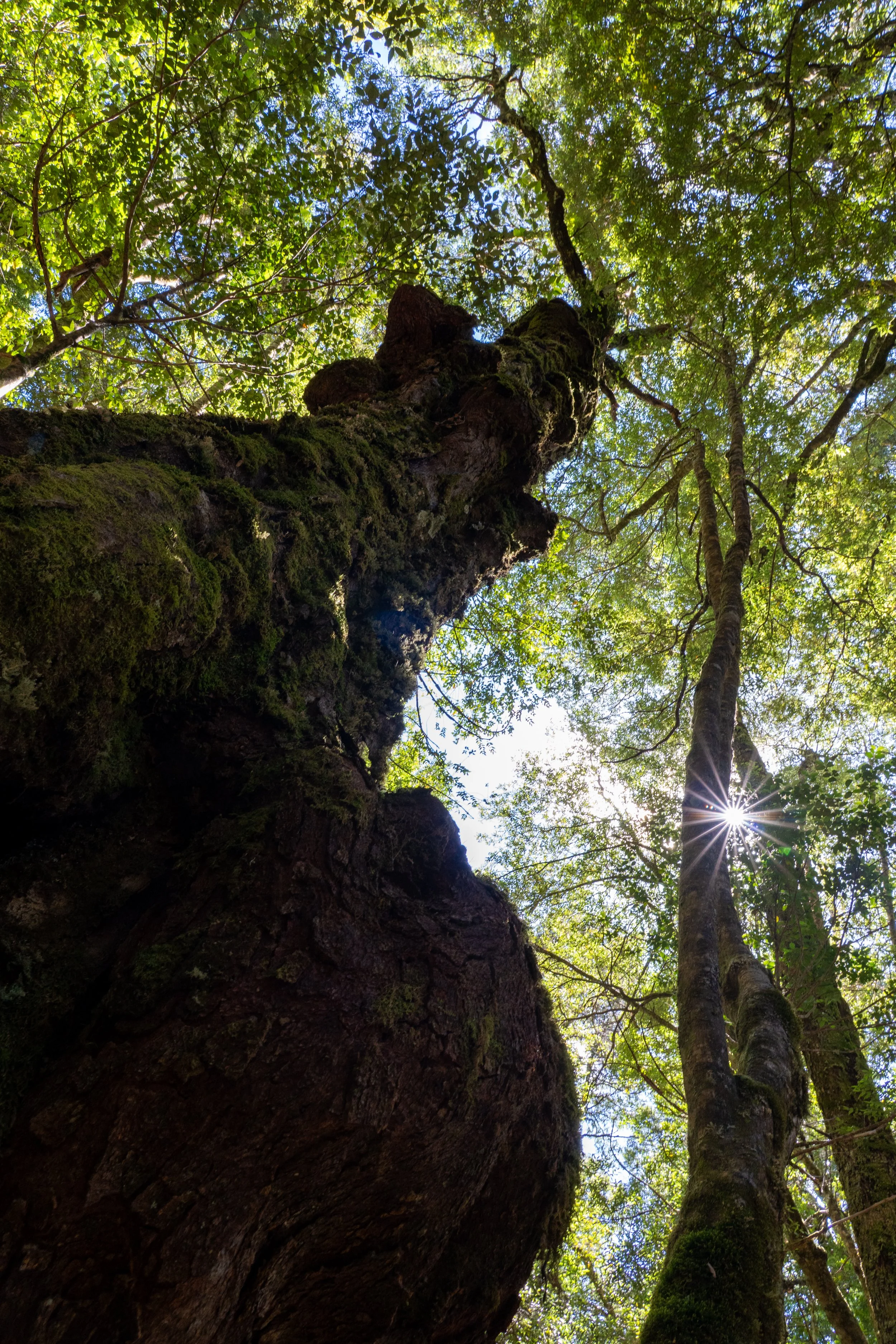
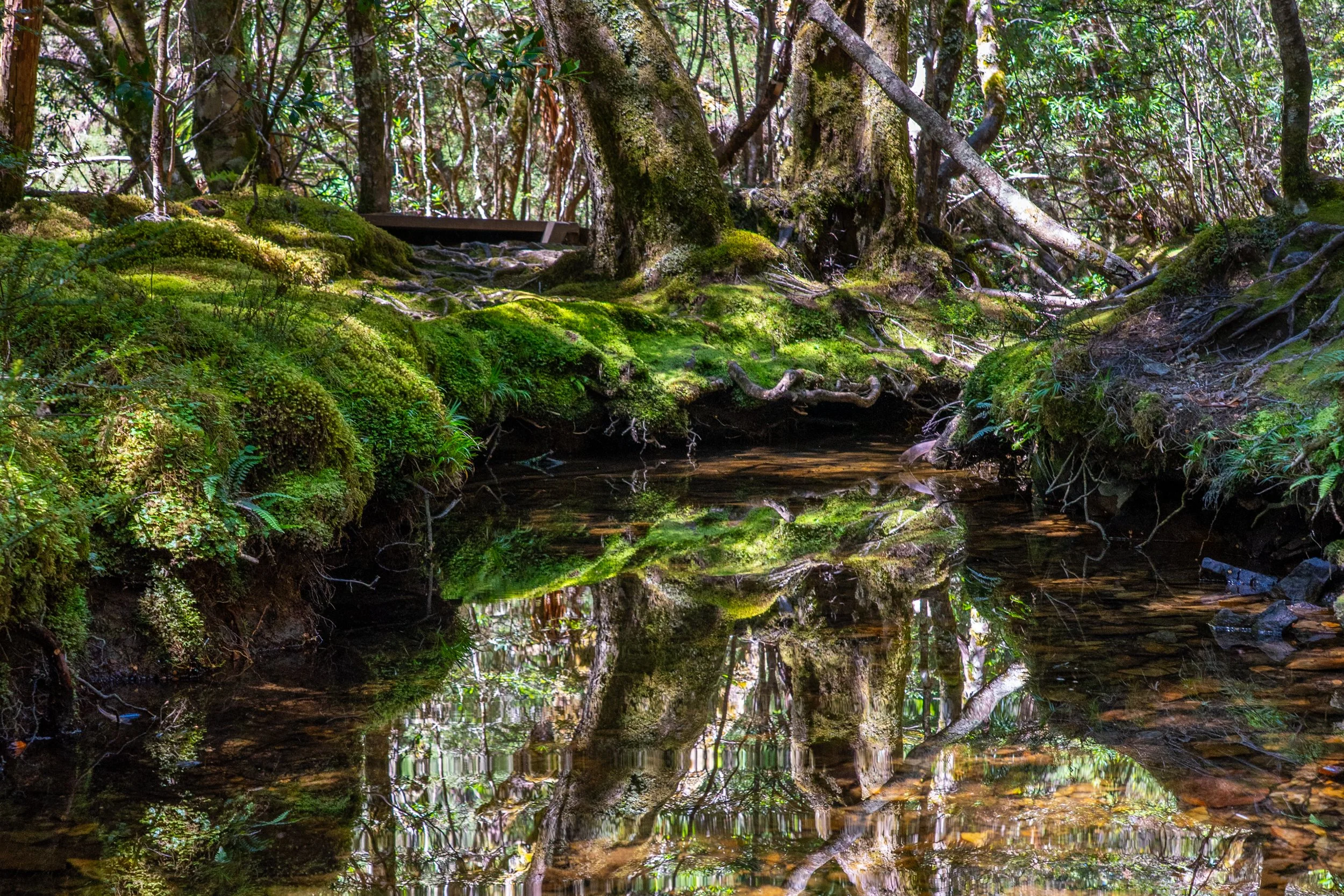
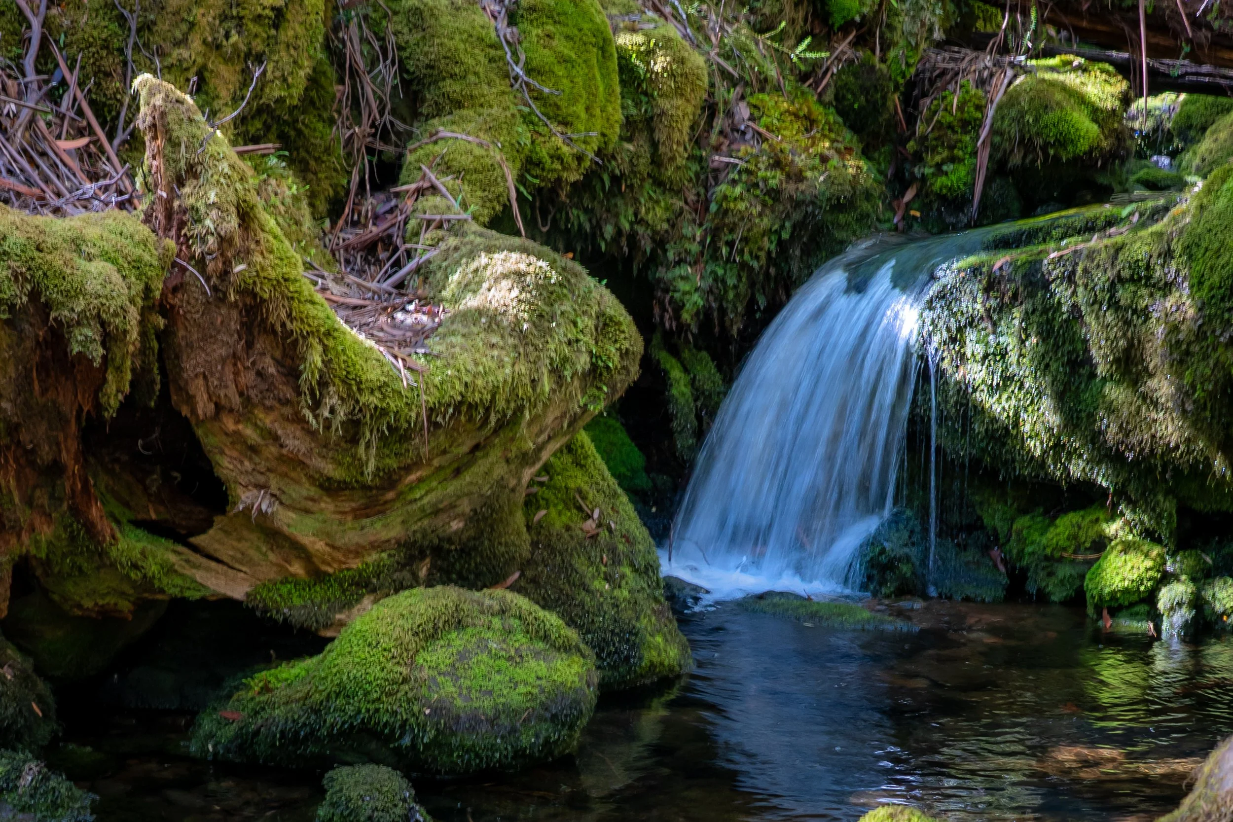
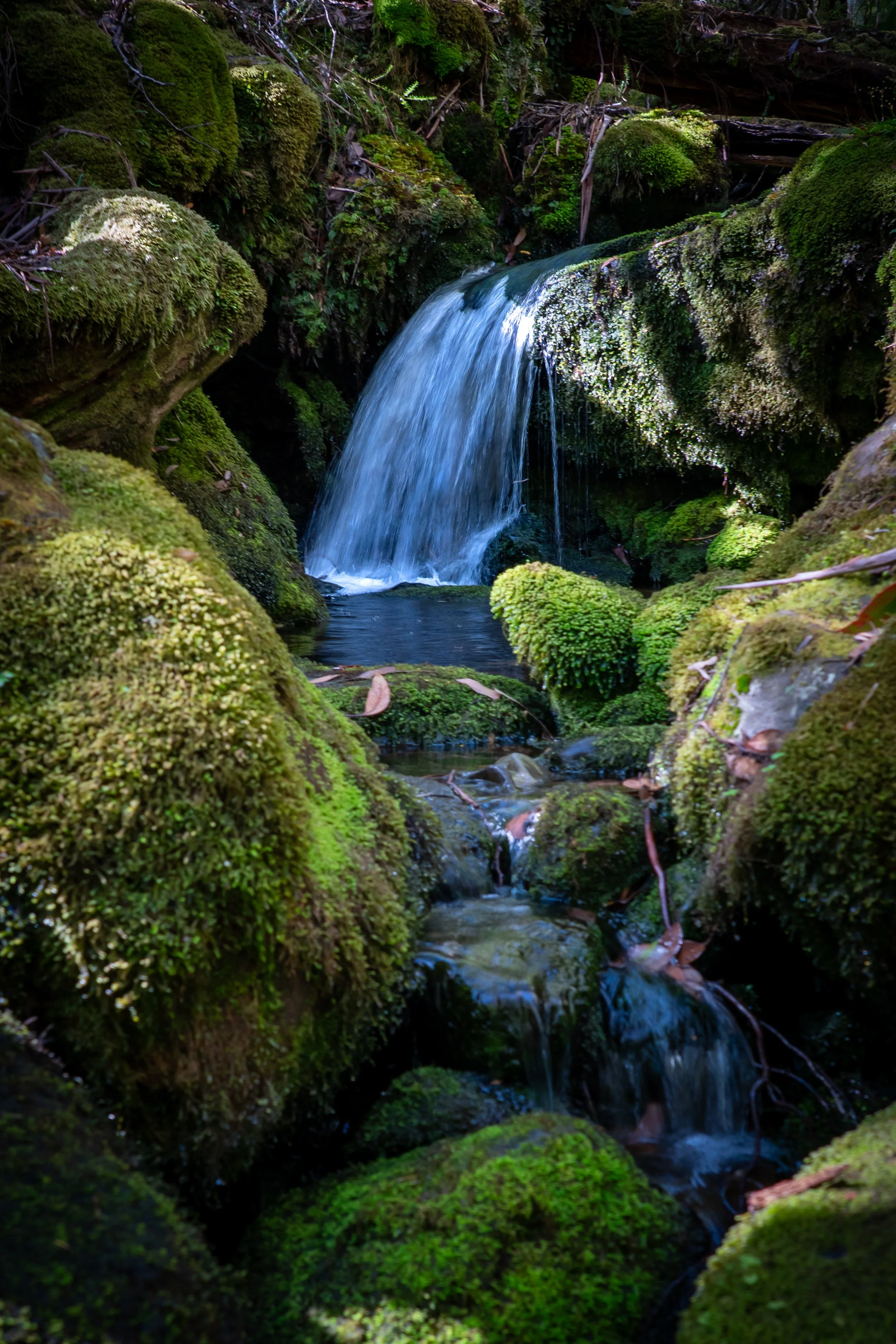
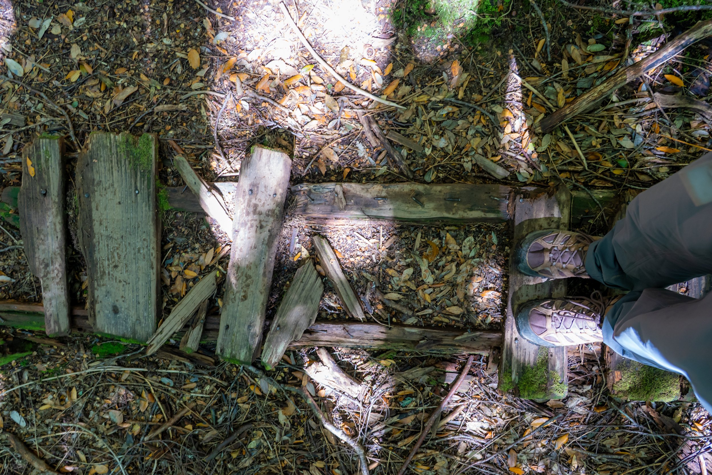
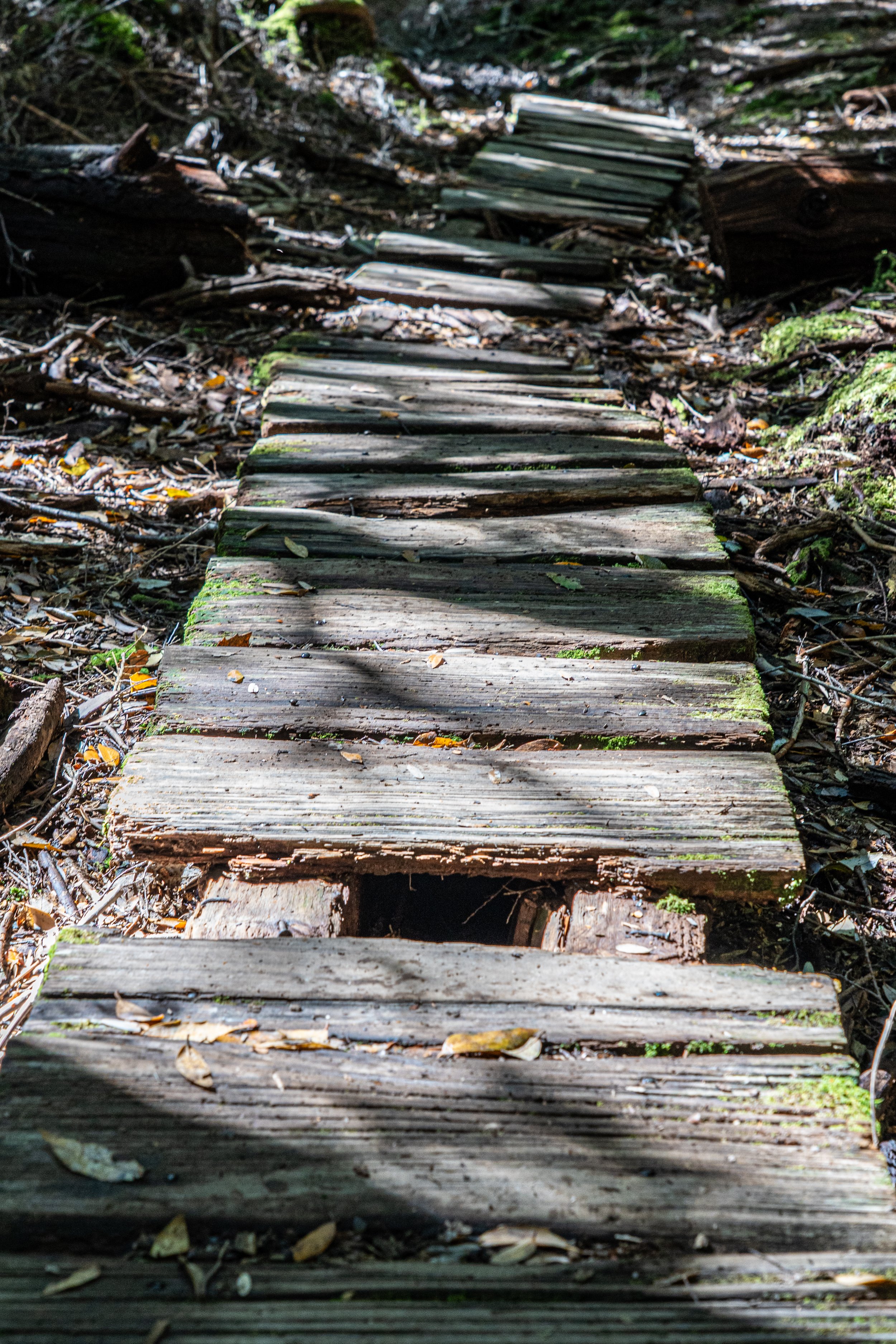
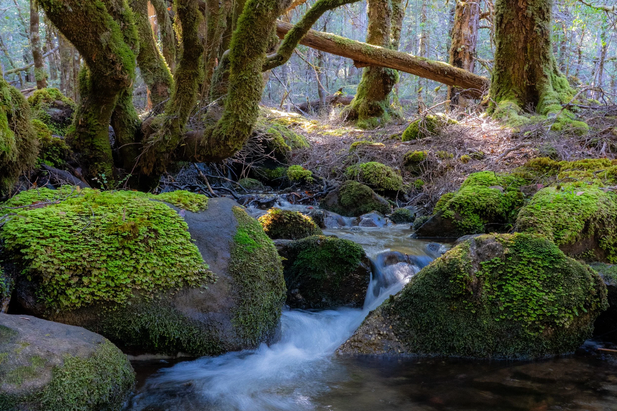
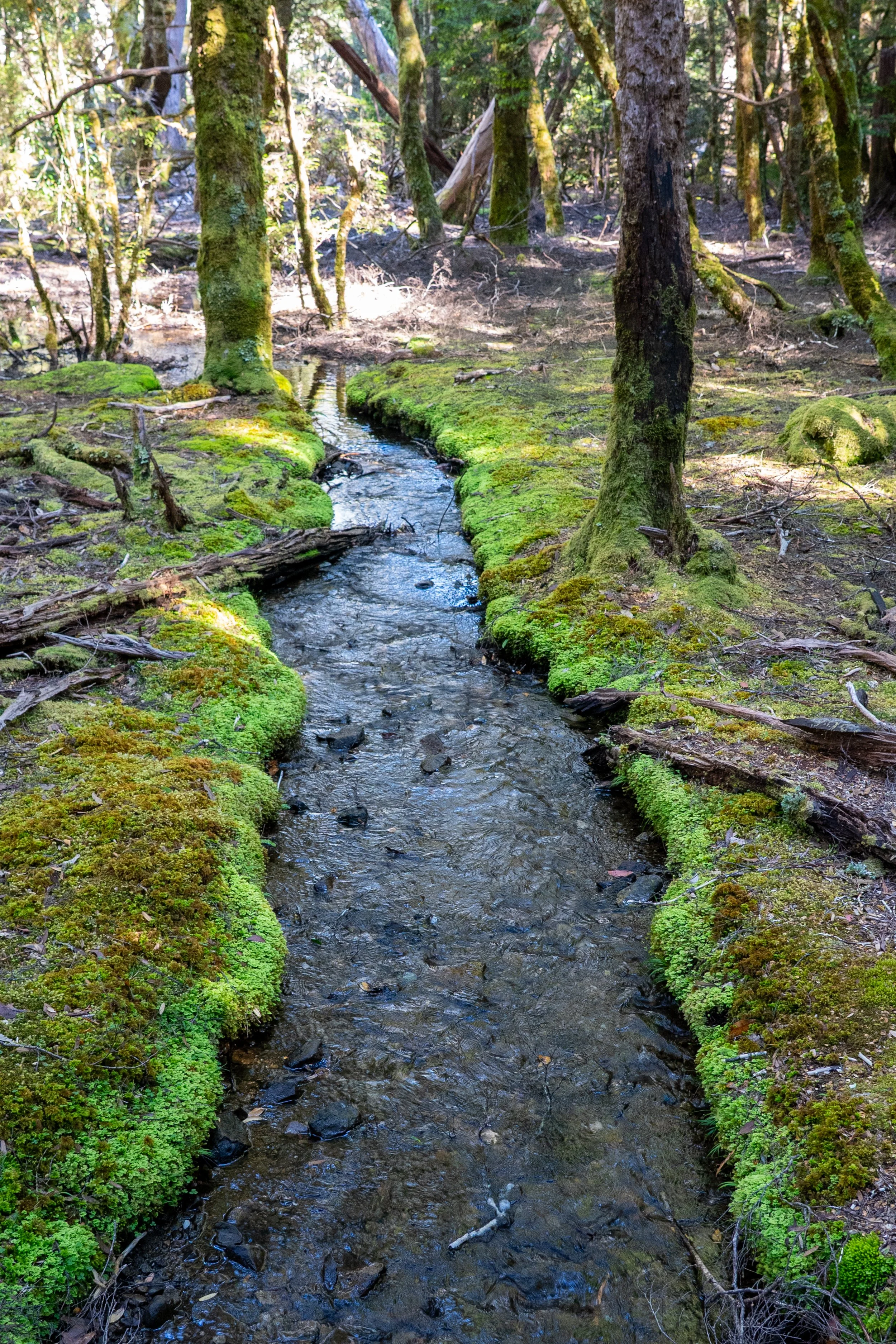
Heading into the green forest, the track serves up its usual mixed platter of boardwalk, tangled roots, mud holes and wooden steps, all bundled into a 280-metre ascent carefully designed to make you question every item in your pack. After 1.5 kilometres of steady climbing, we detour briefly to Douglas Creek, where pristine, crystal-clear water spills in cool, cascading ribbons, over dark moss covered rocks.

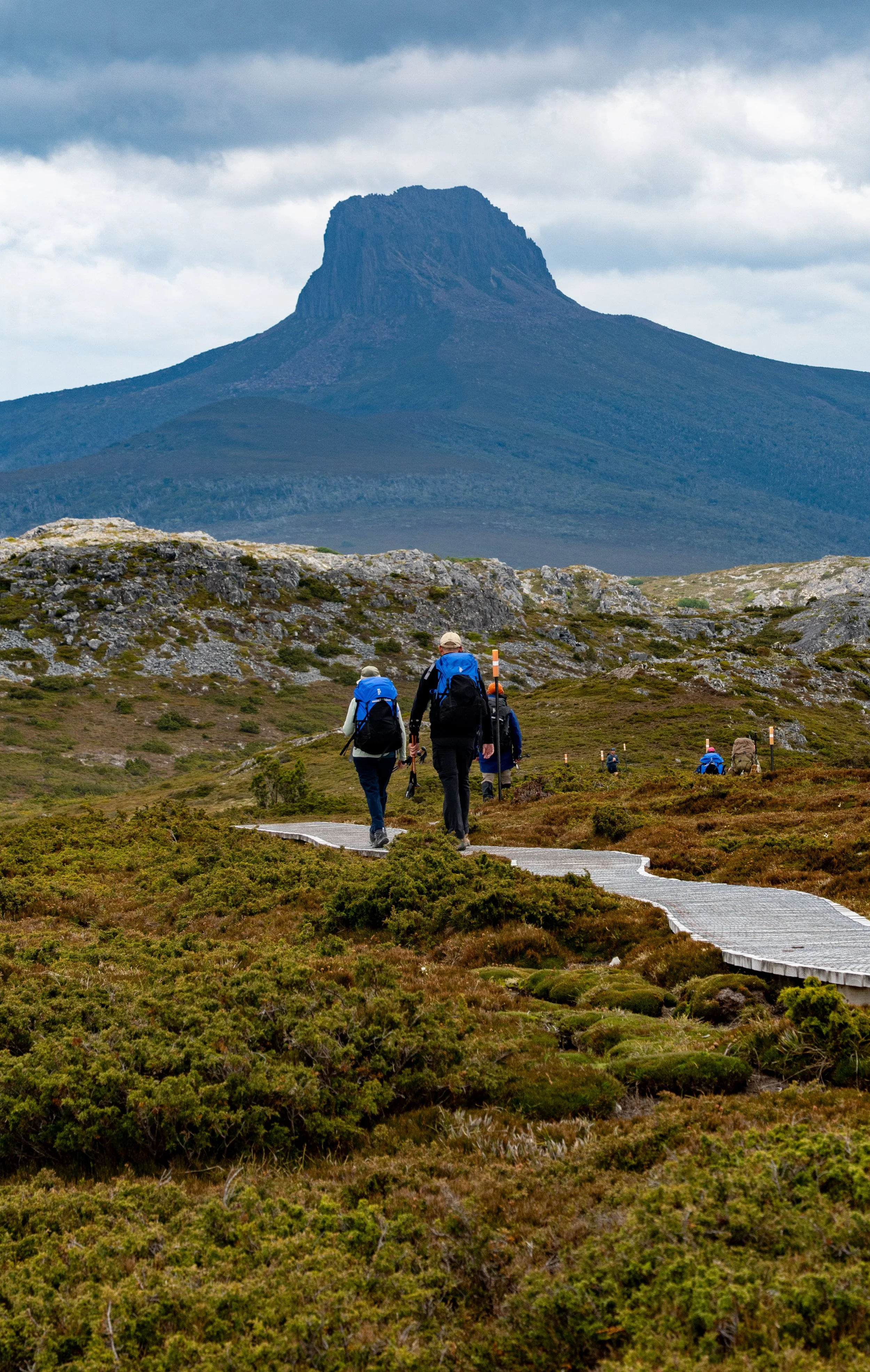
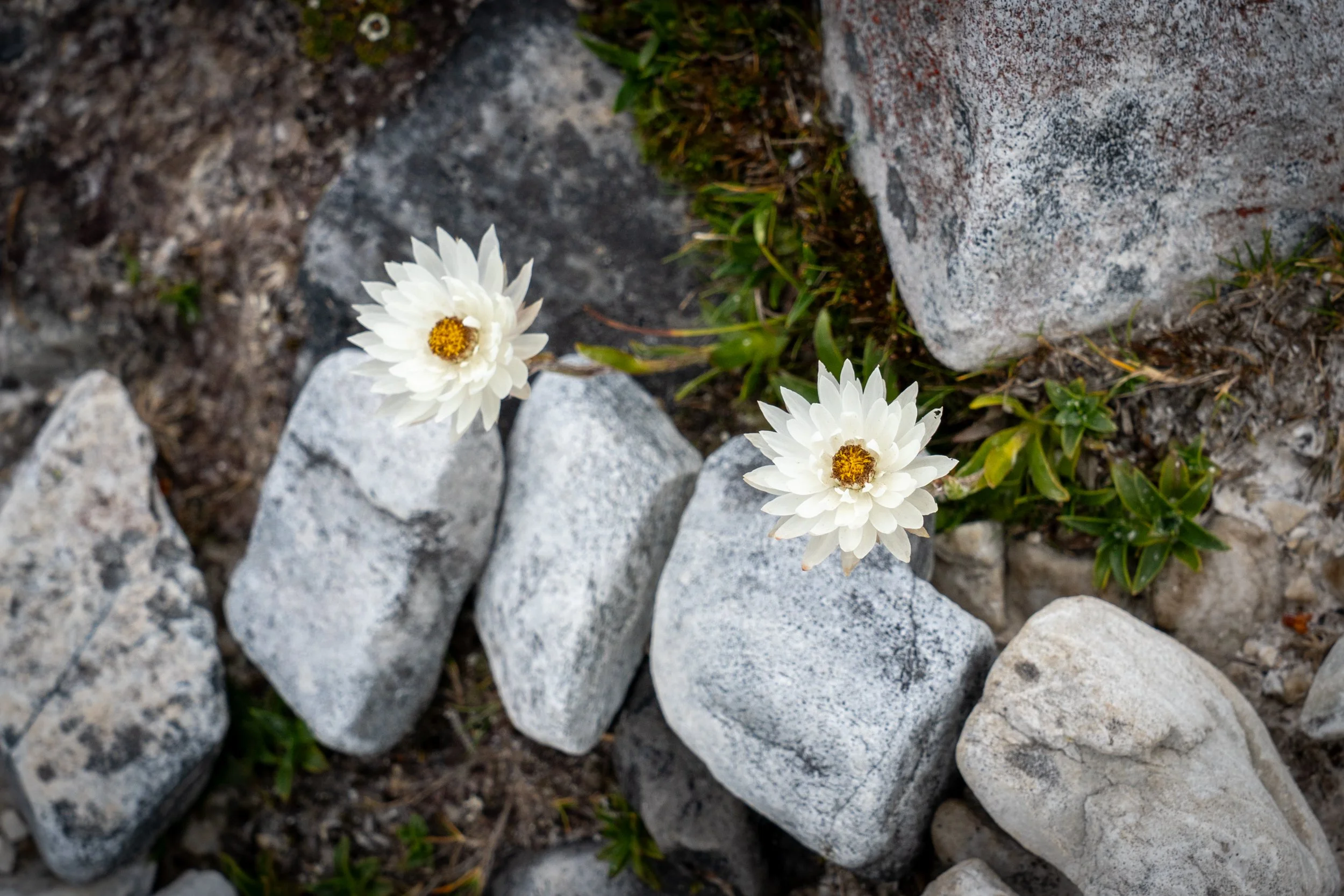
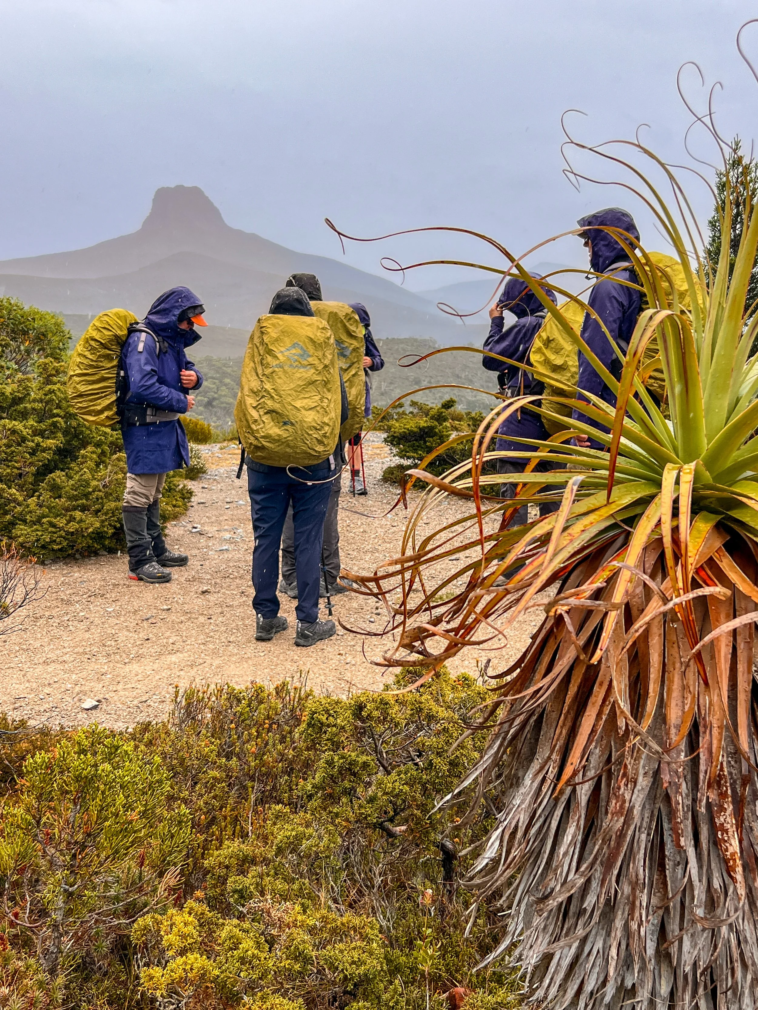
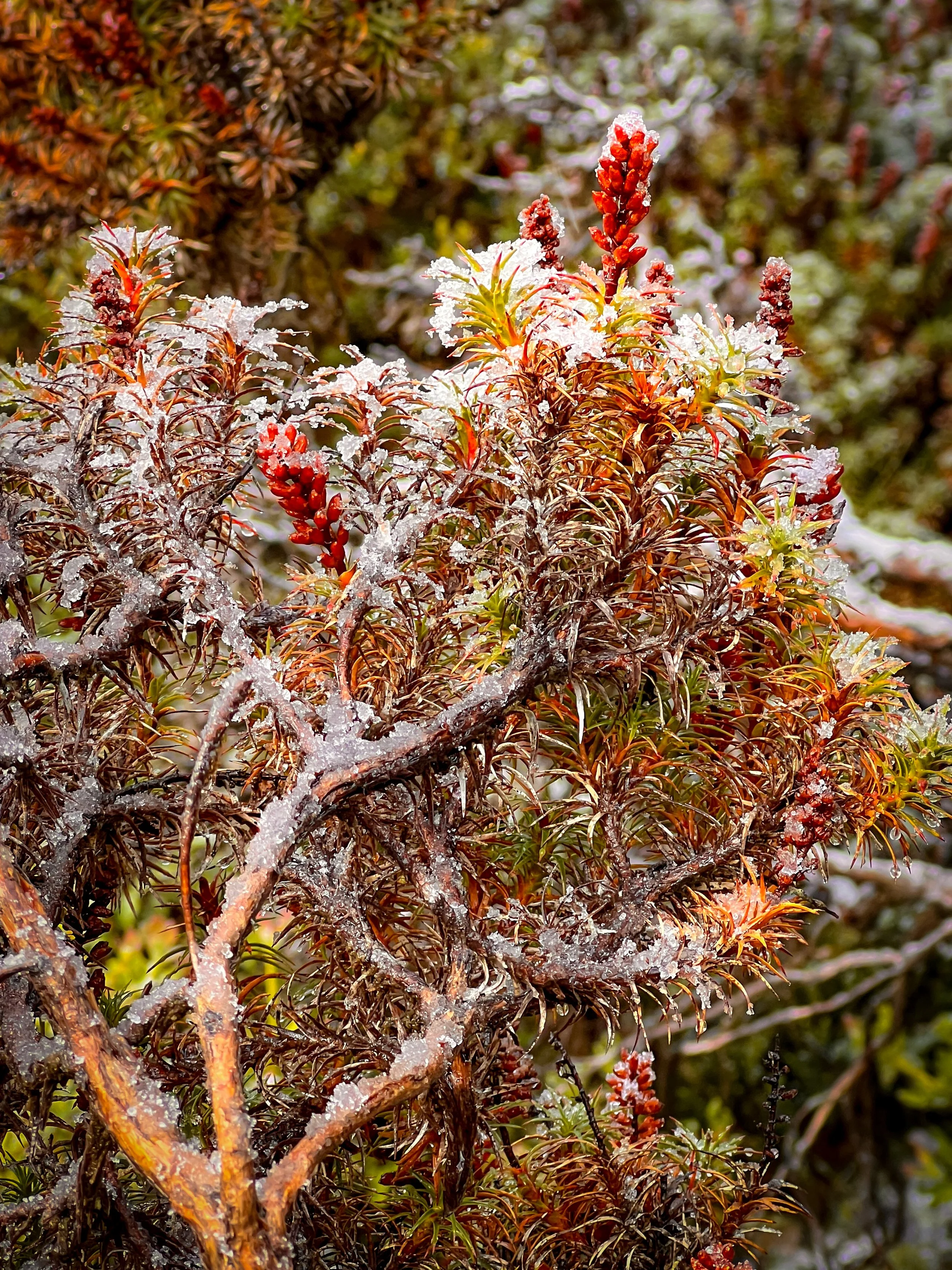
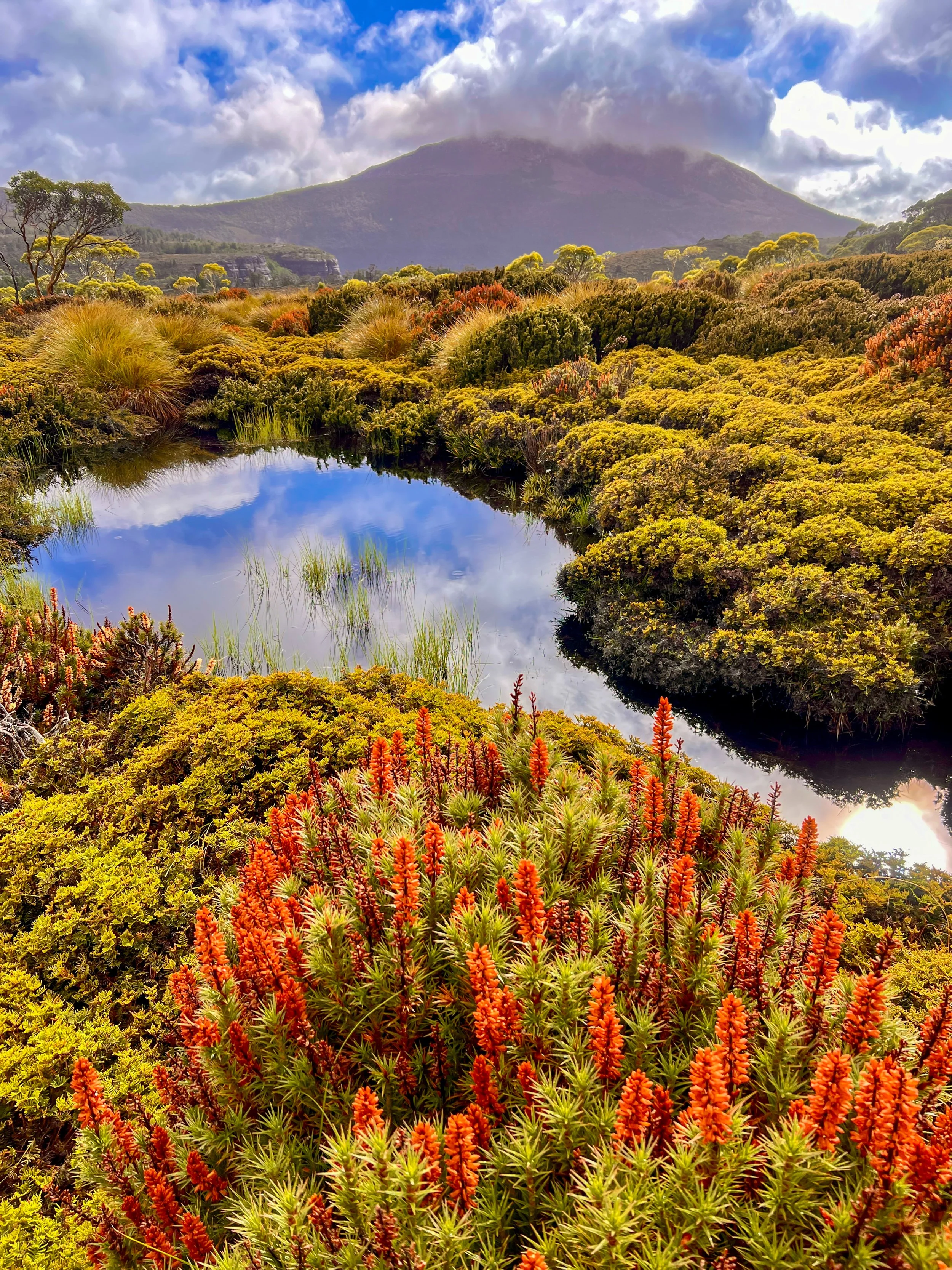
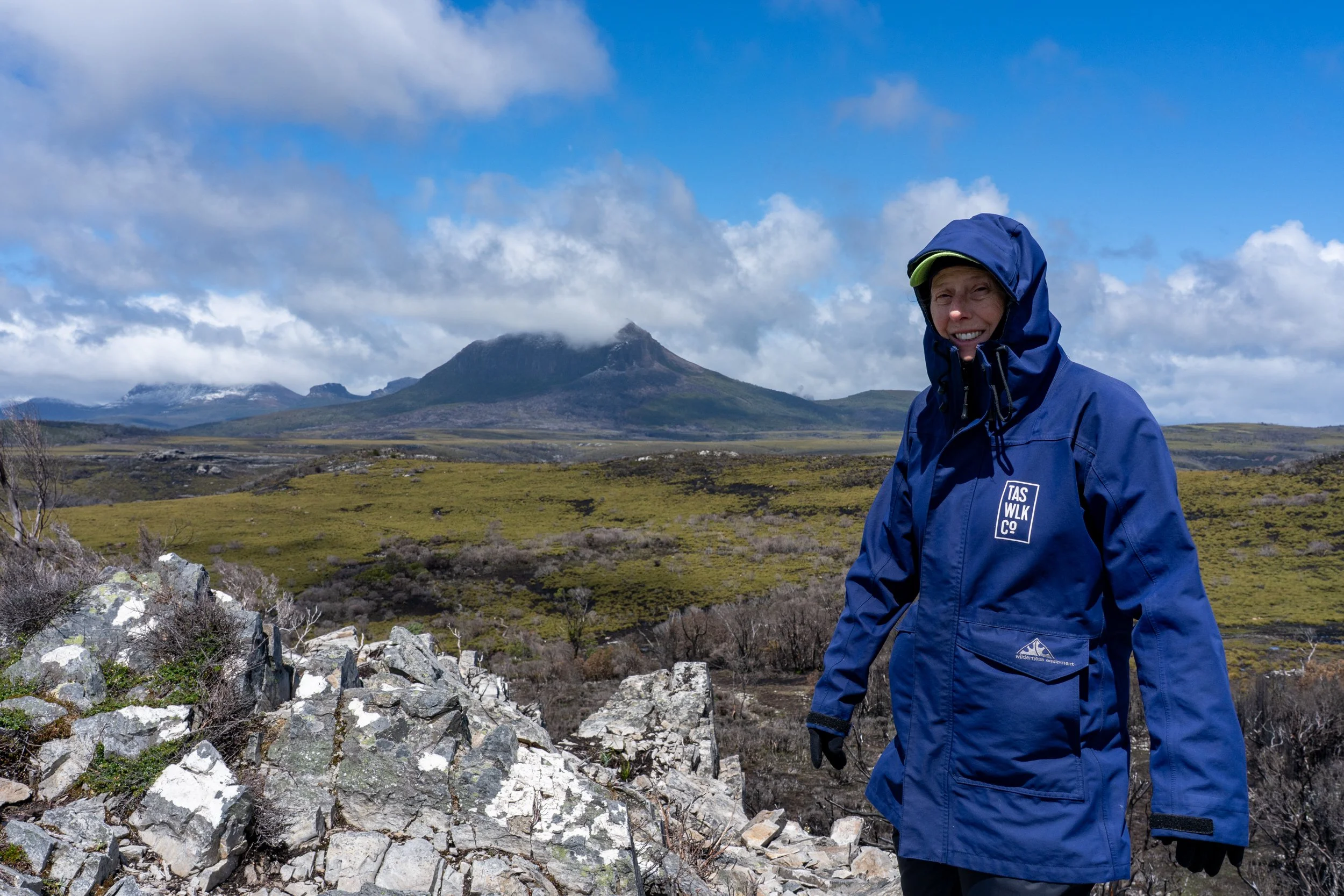
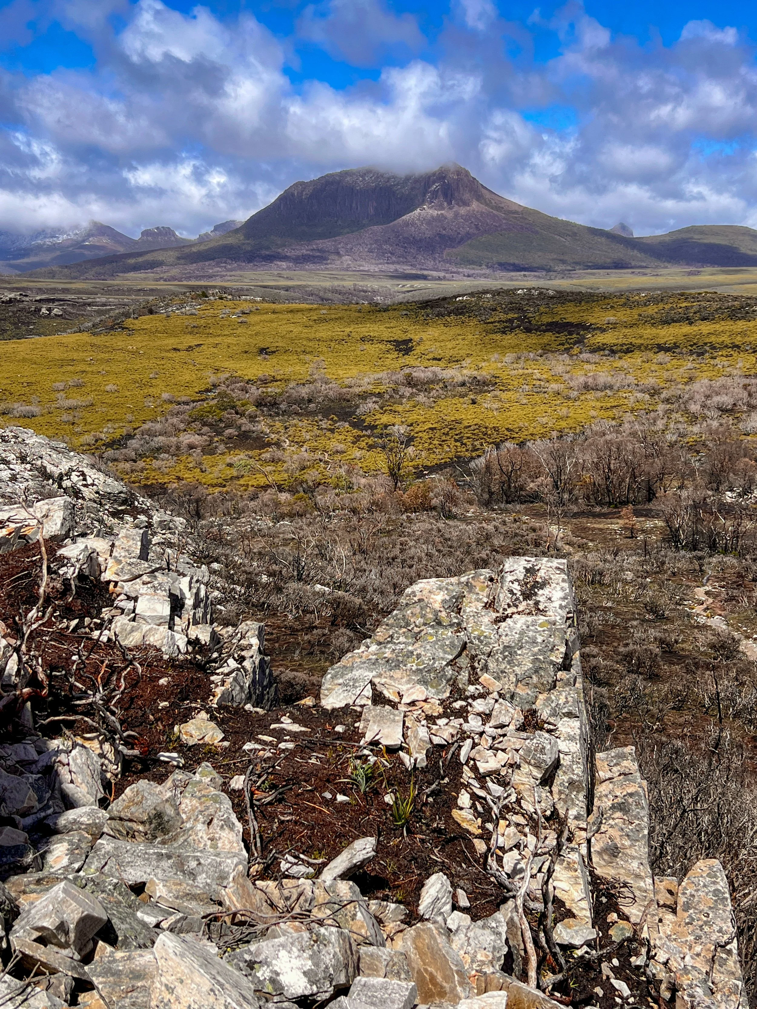
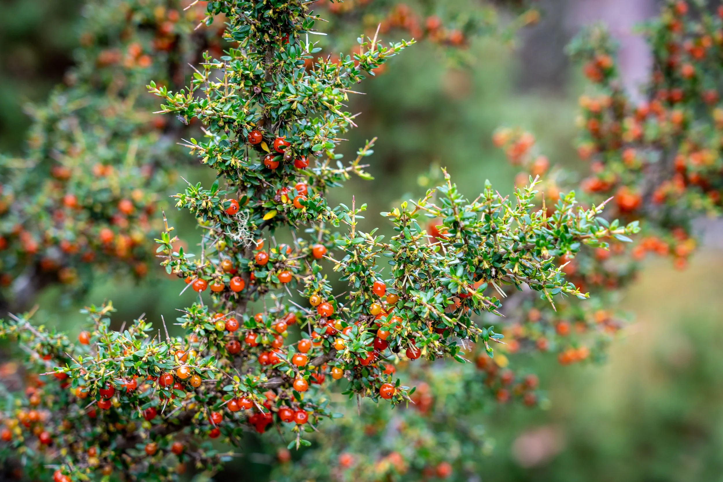
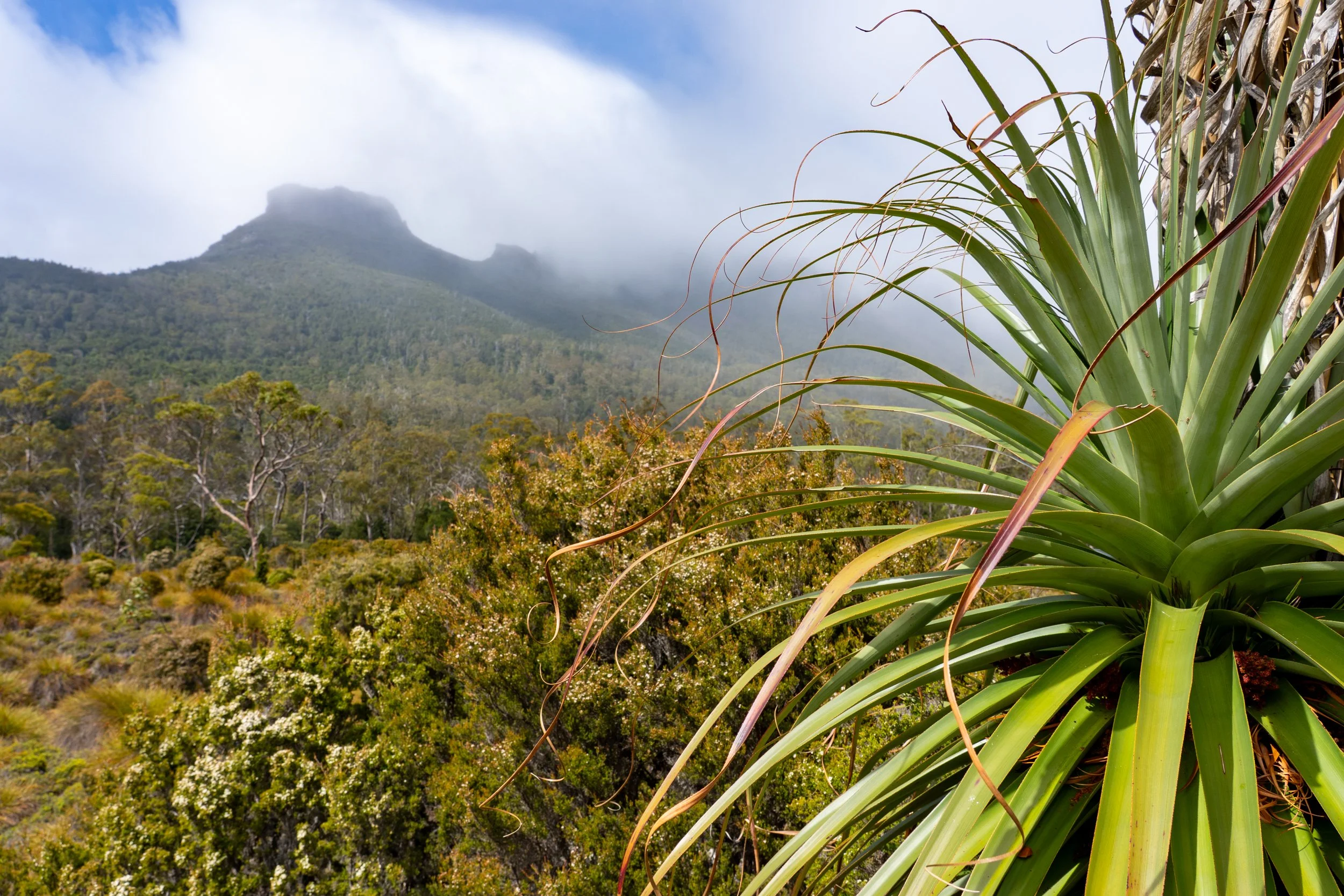
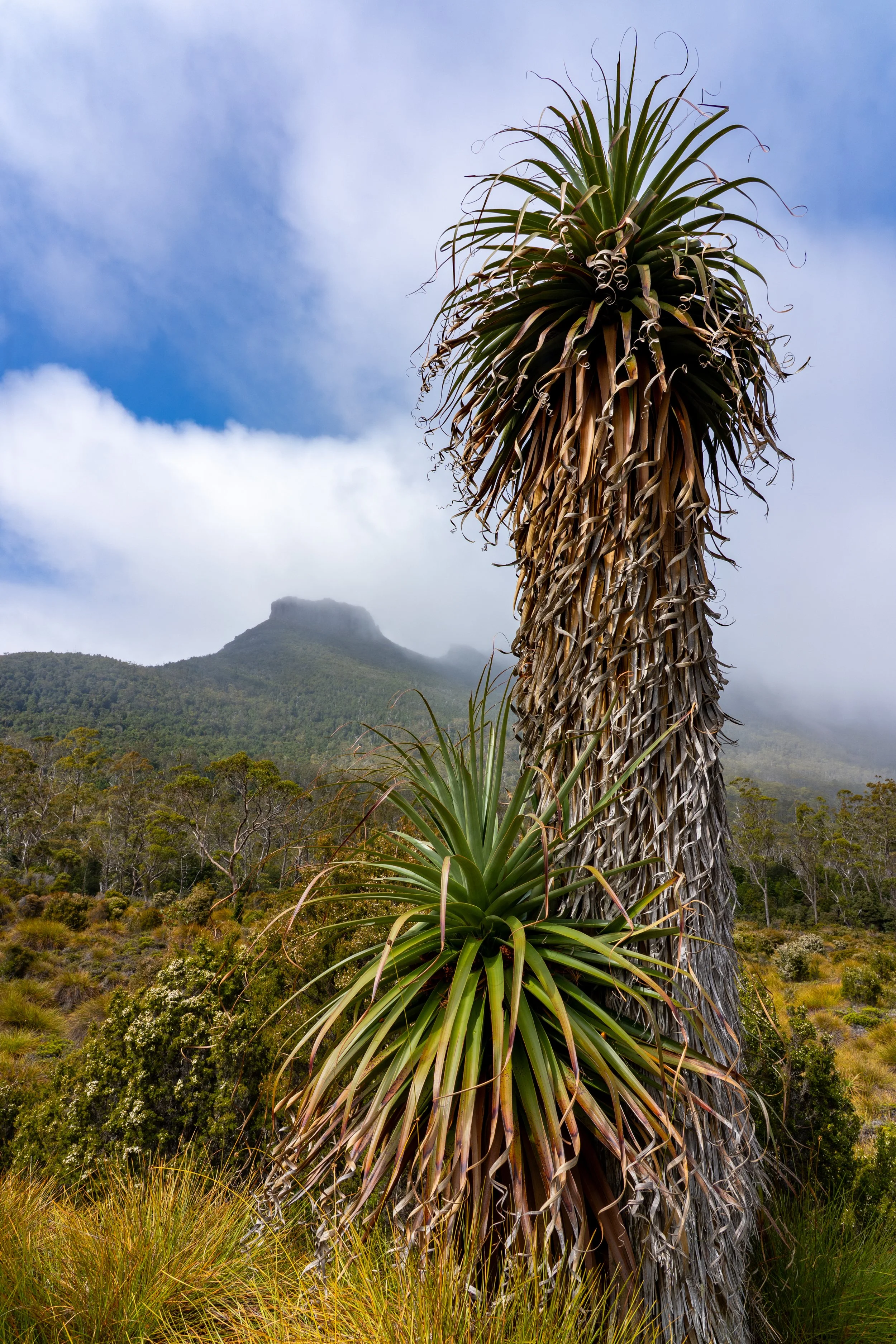
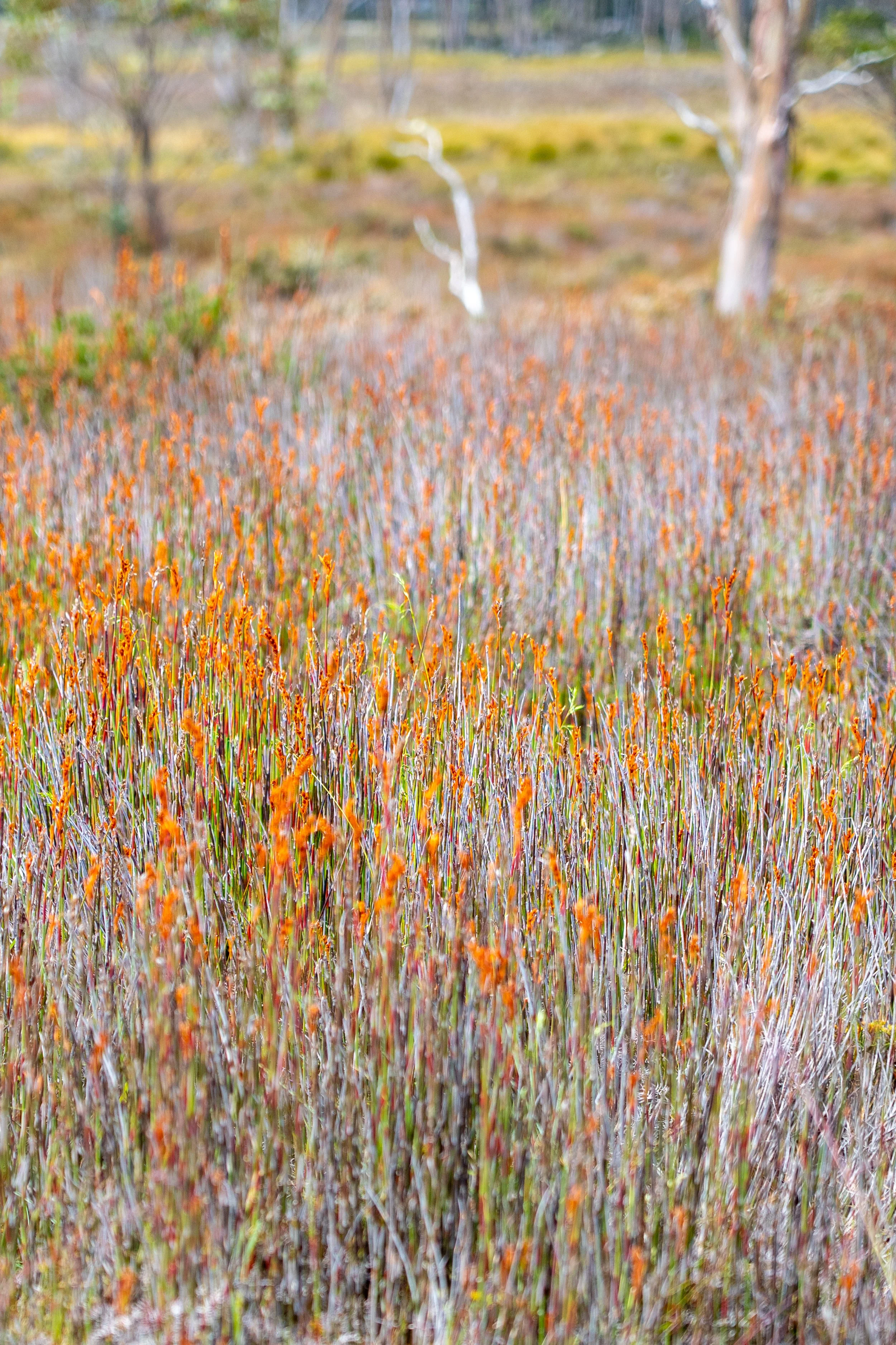
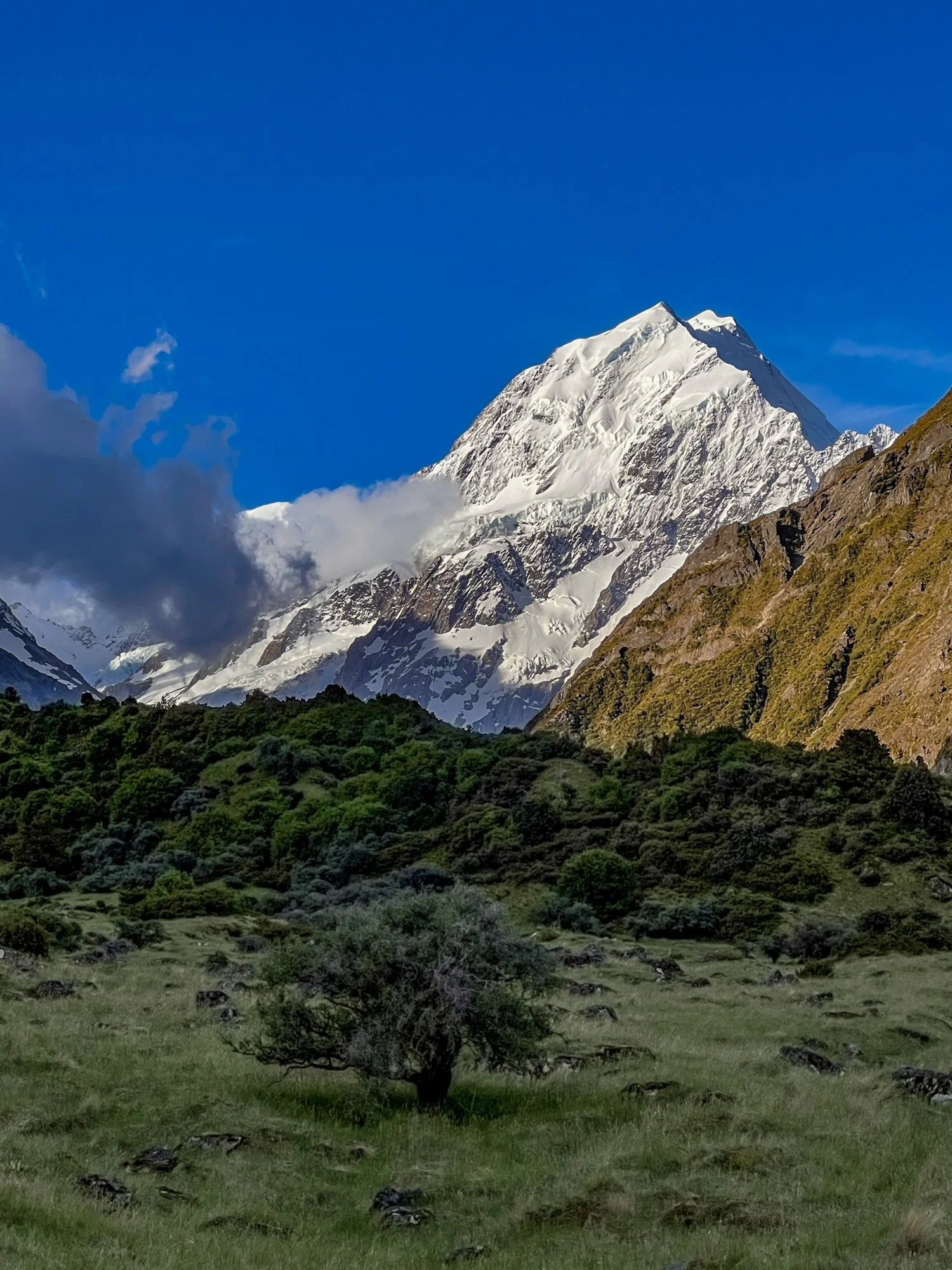
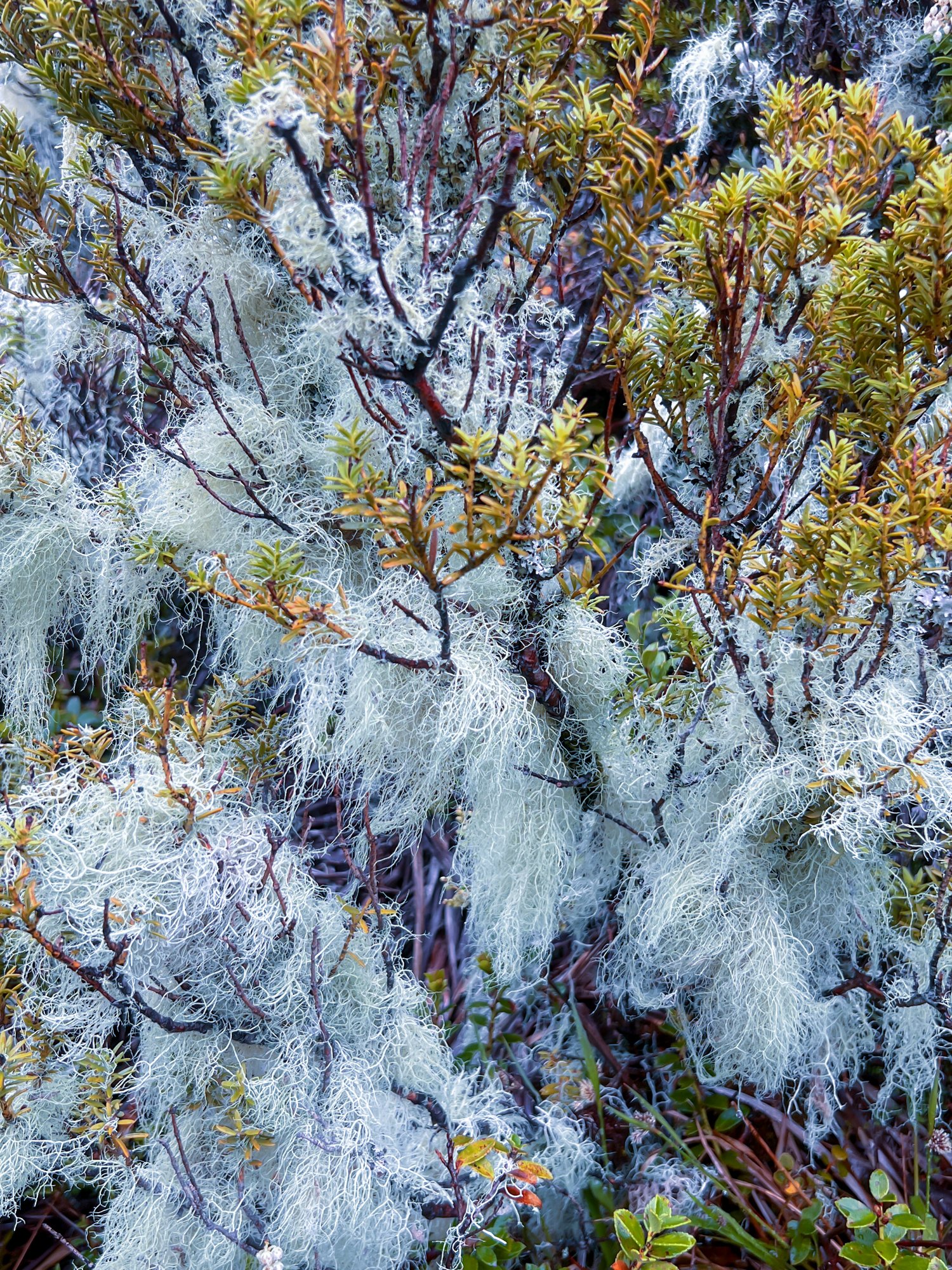
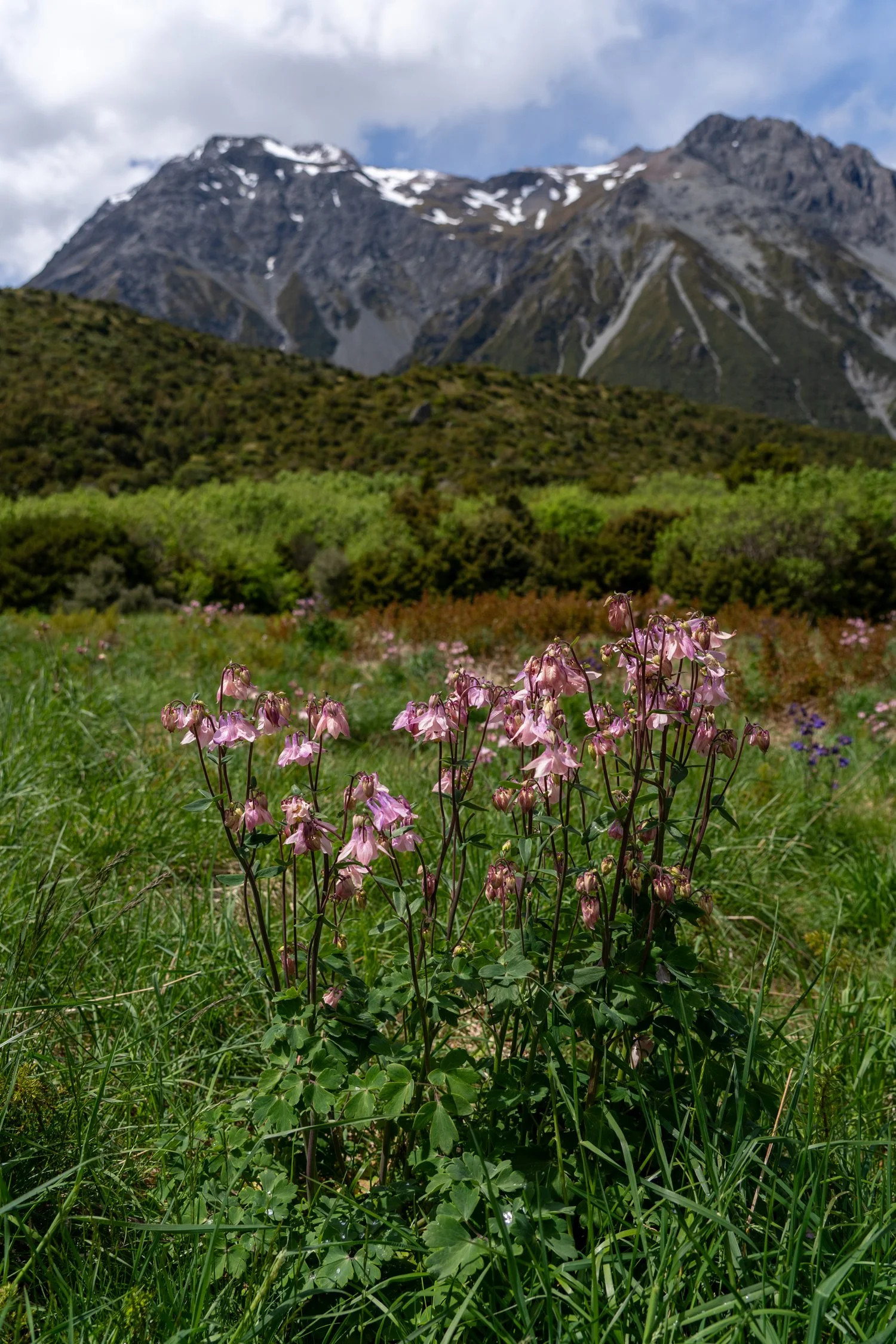
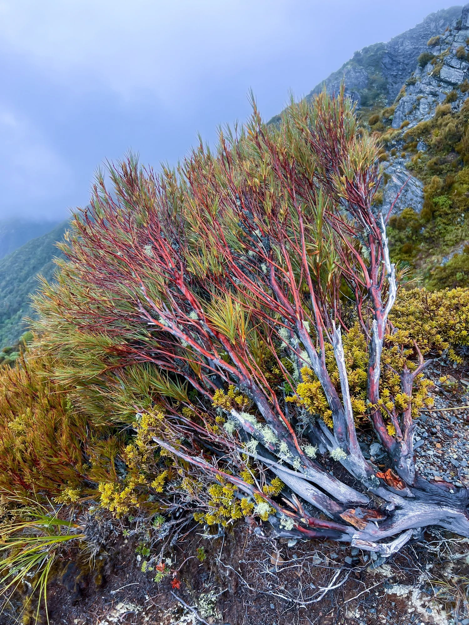
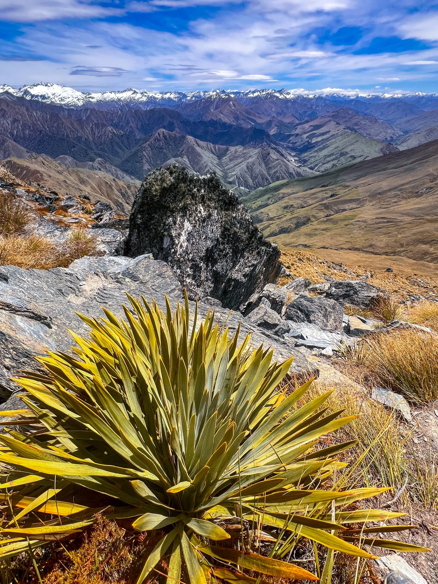
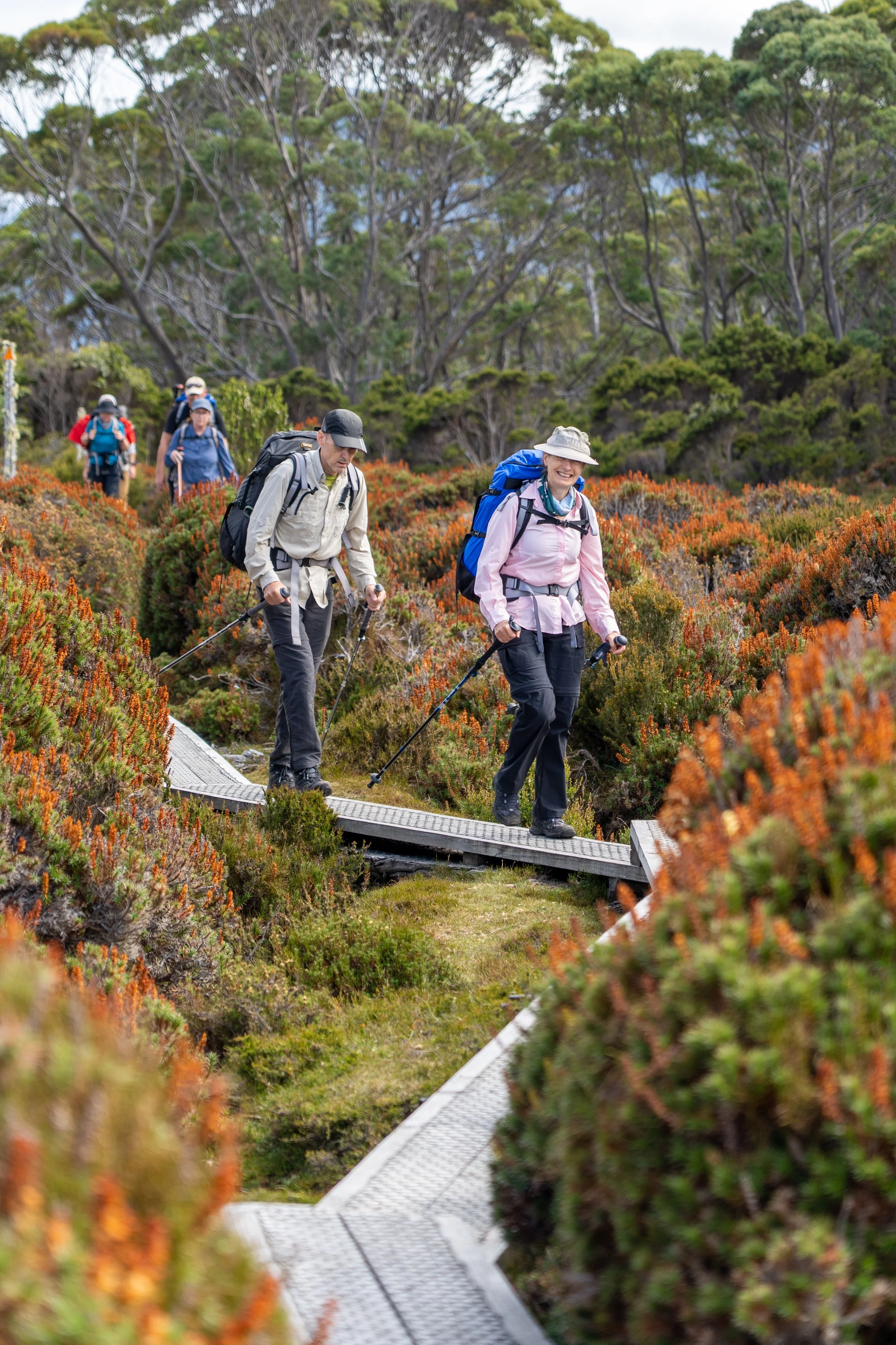
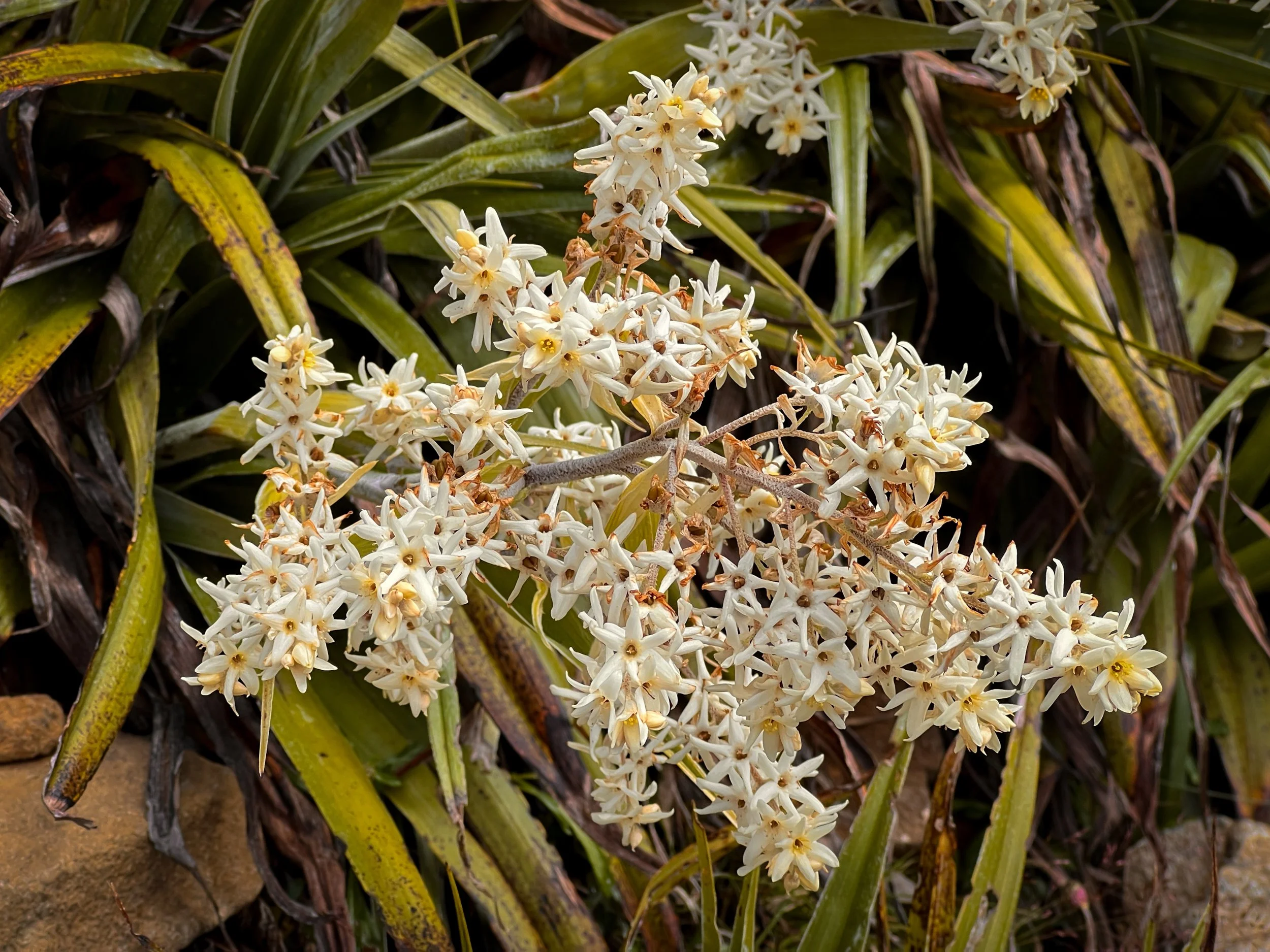
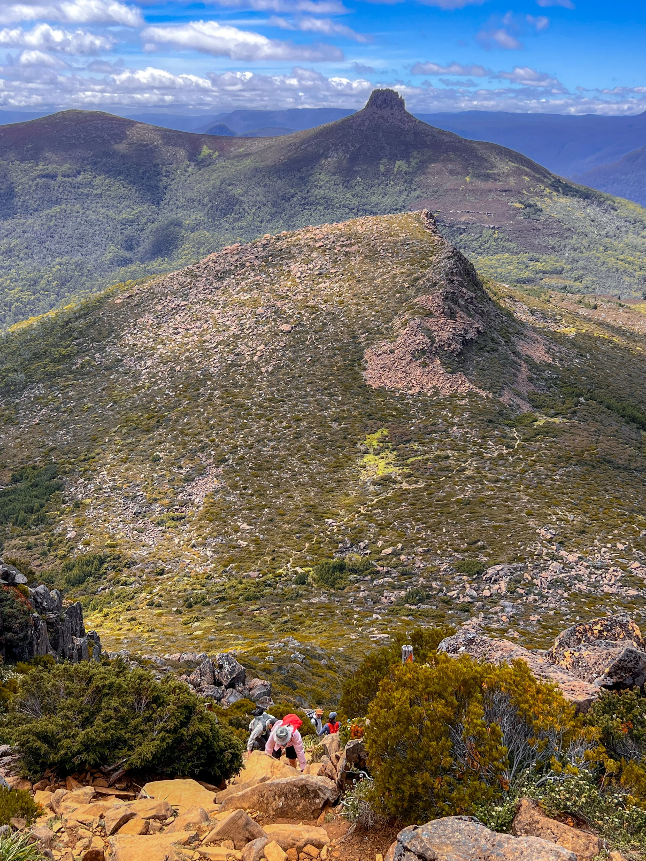
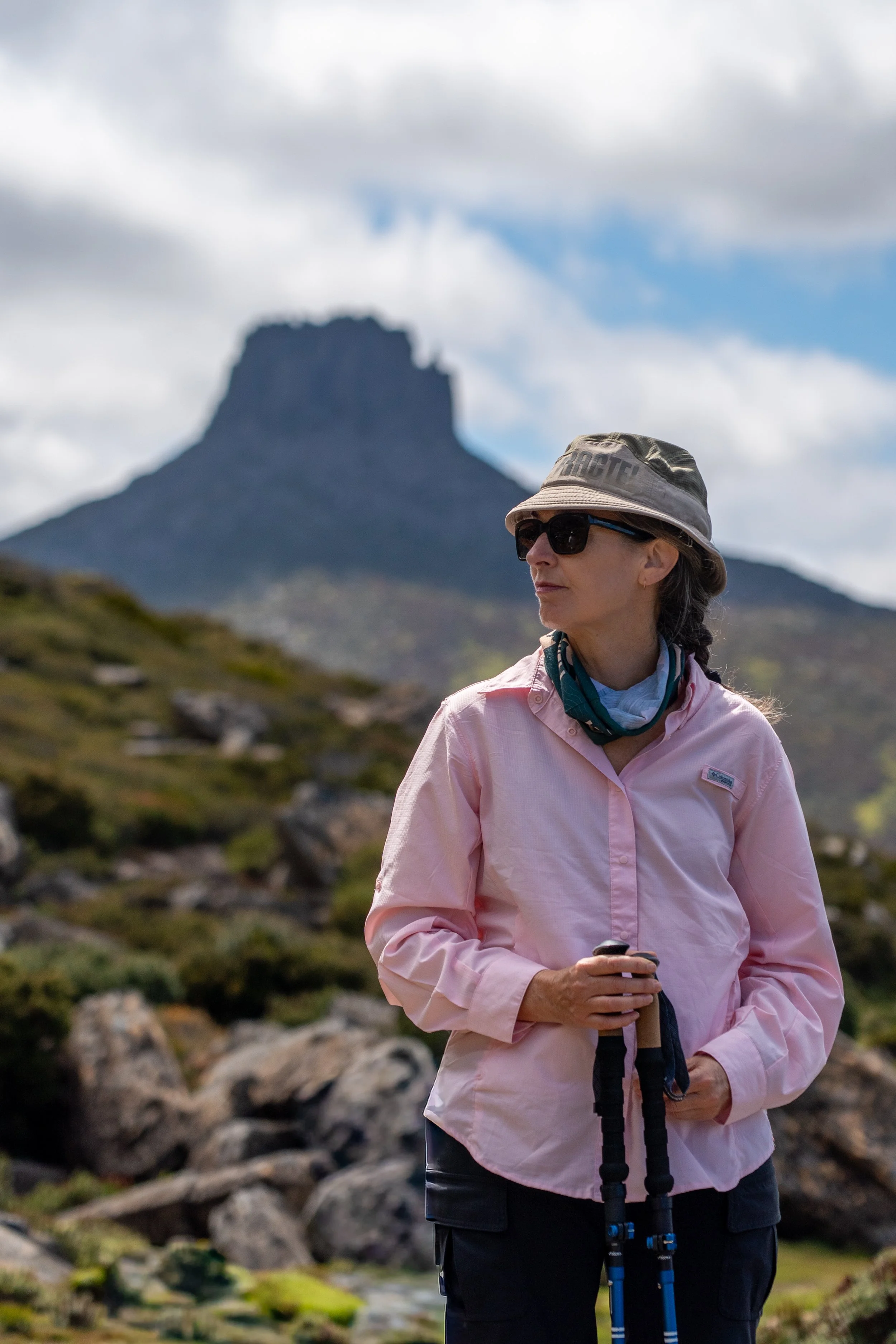
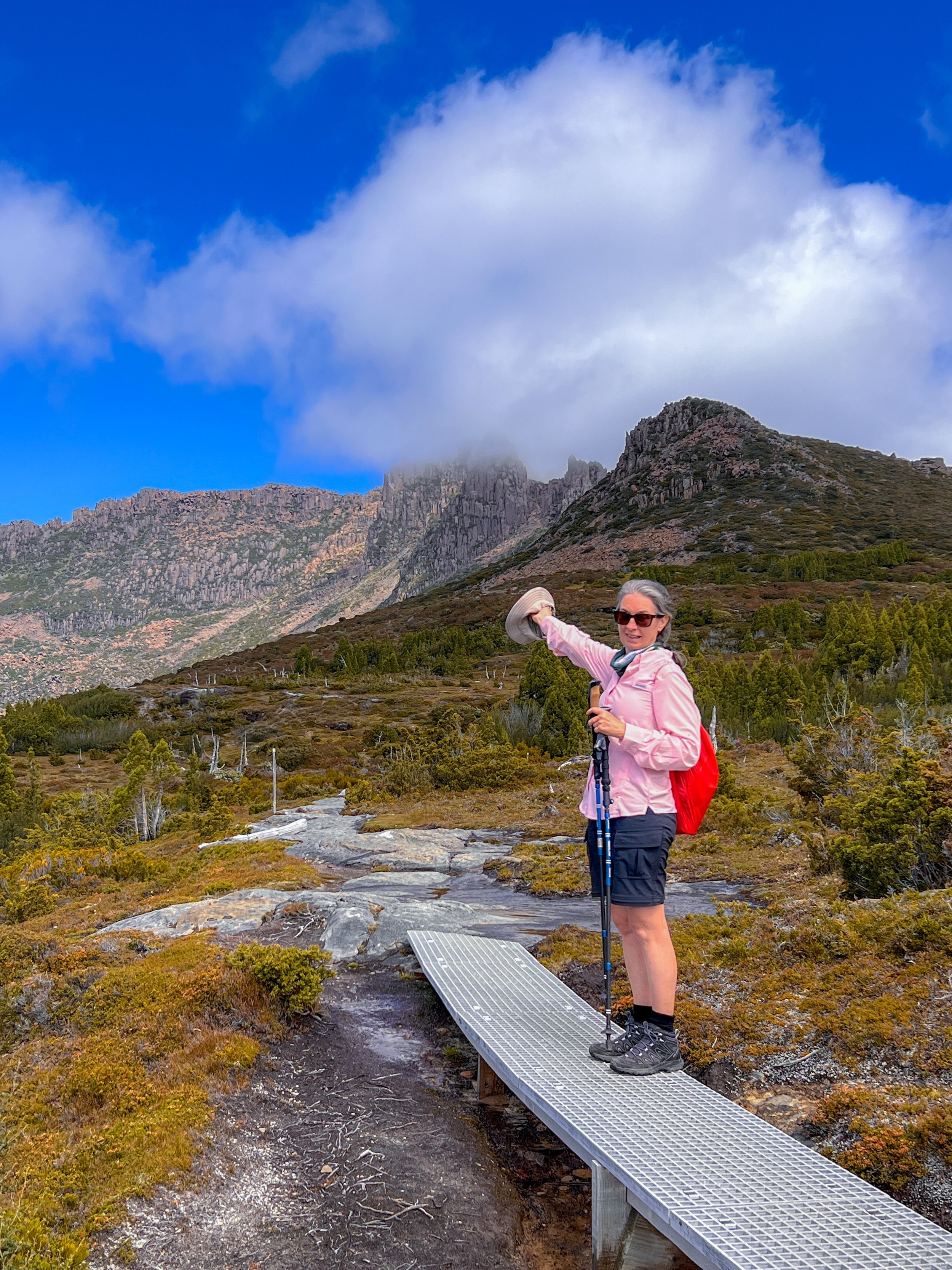
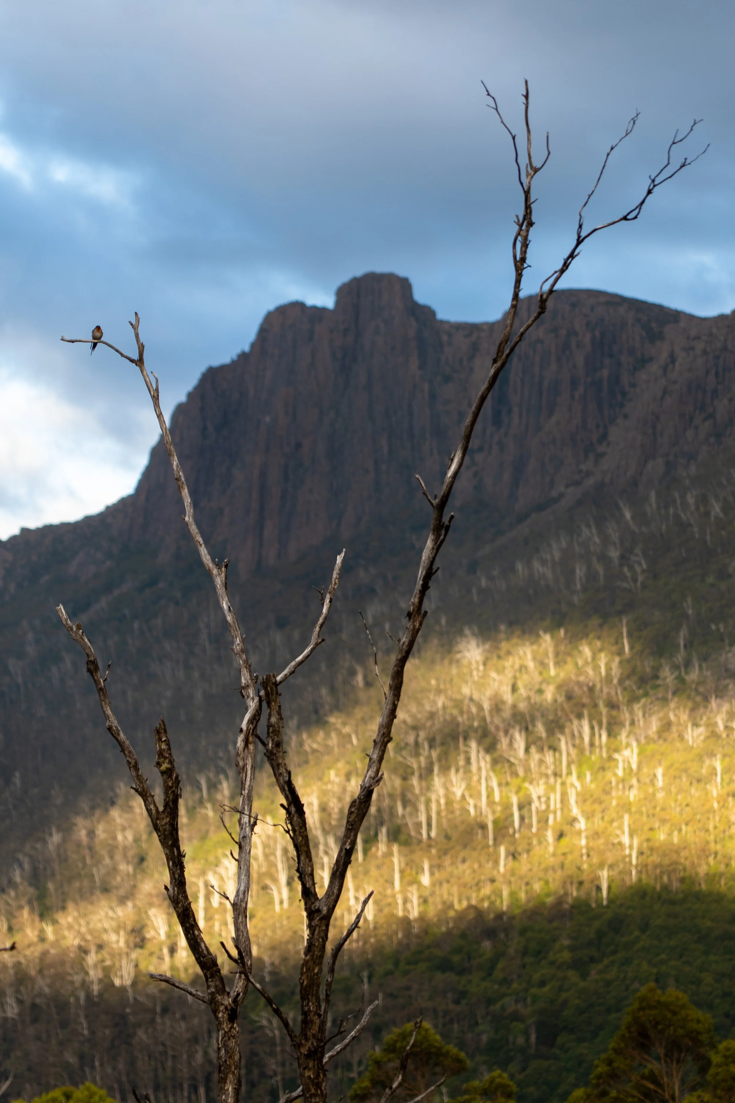
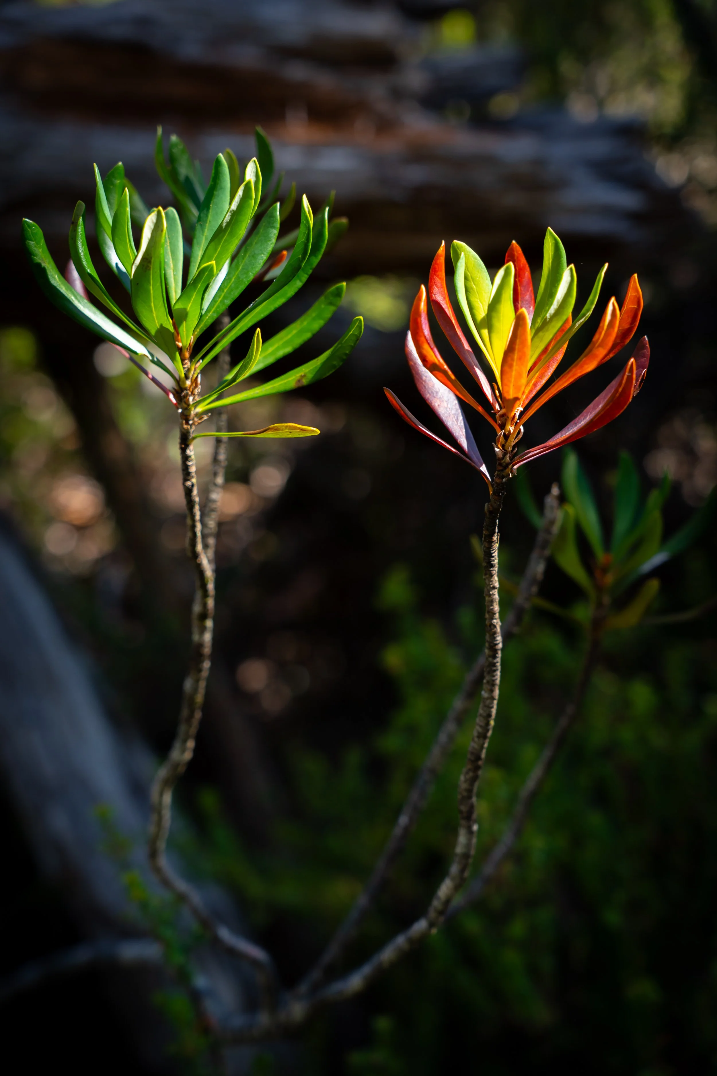
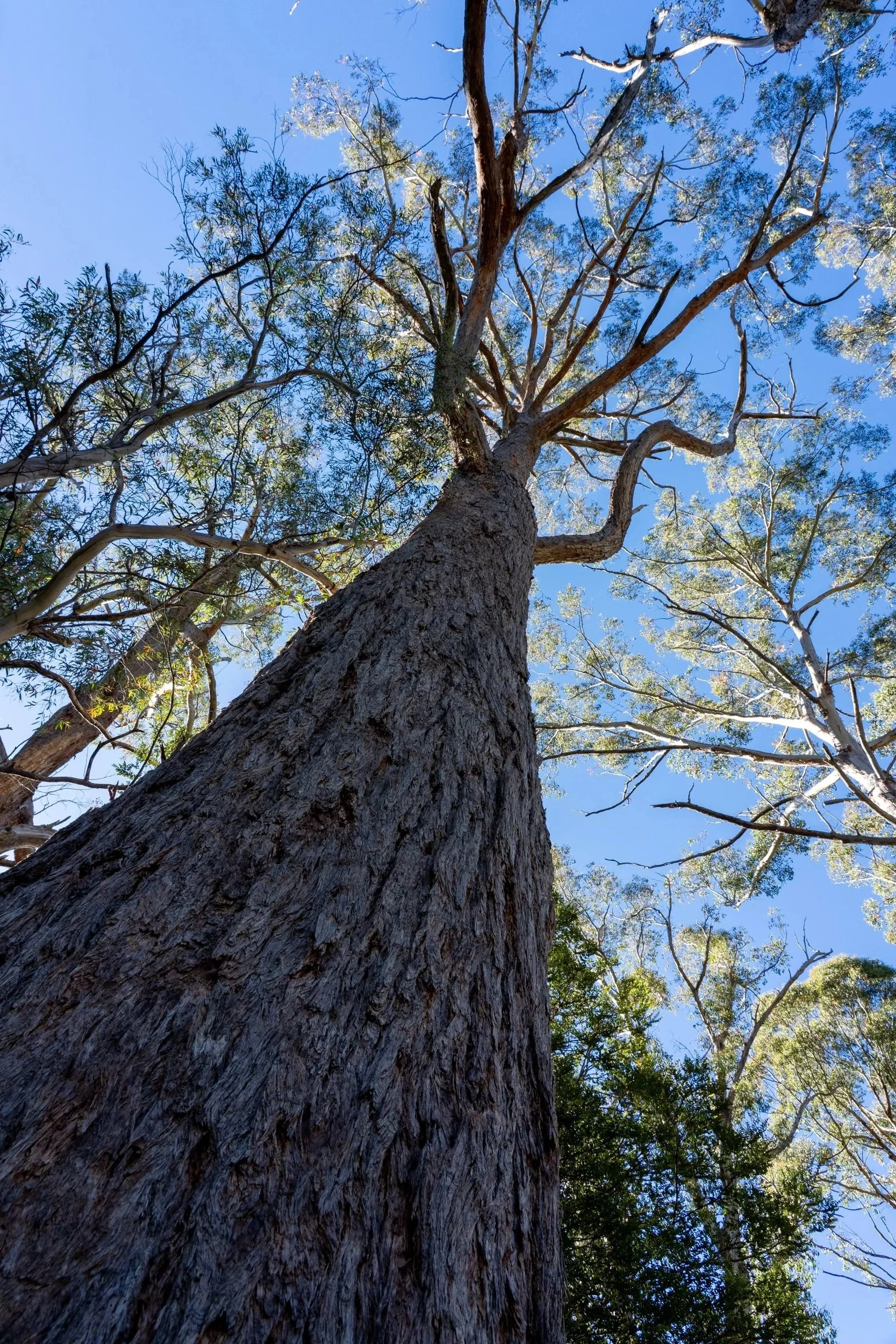
It is not long before we are thrust into the bright light of the open woodland, flush in orange from the Scorpia bush, where we reach the high saddle between Mount Pelion East and Mount Ossa.
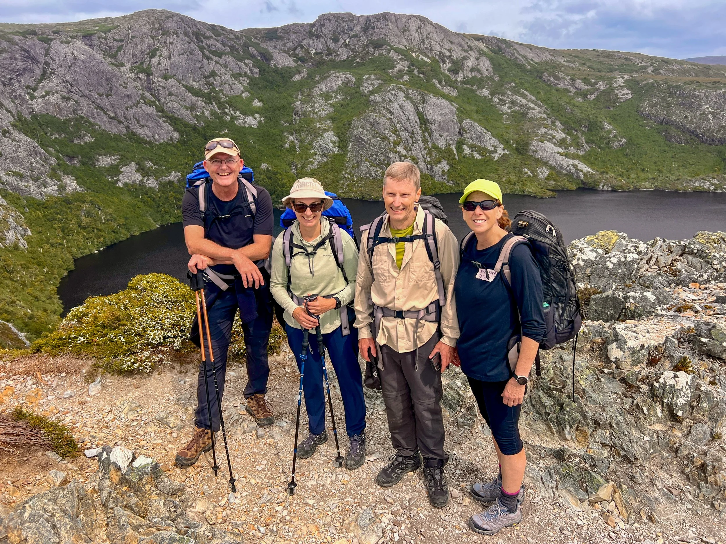
This is where the group split for the day. With heroic encouragement from Blake (our guide) and Acho providing steady moral support, they shepherded Kathy onward to the next hut like a professional search-and-rescue unit (Kathy tells me afterwards the constant bad humour of Acho was - for once - a welcome distraction).
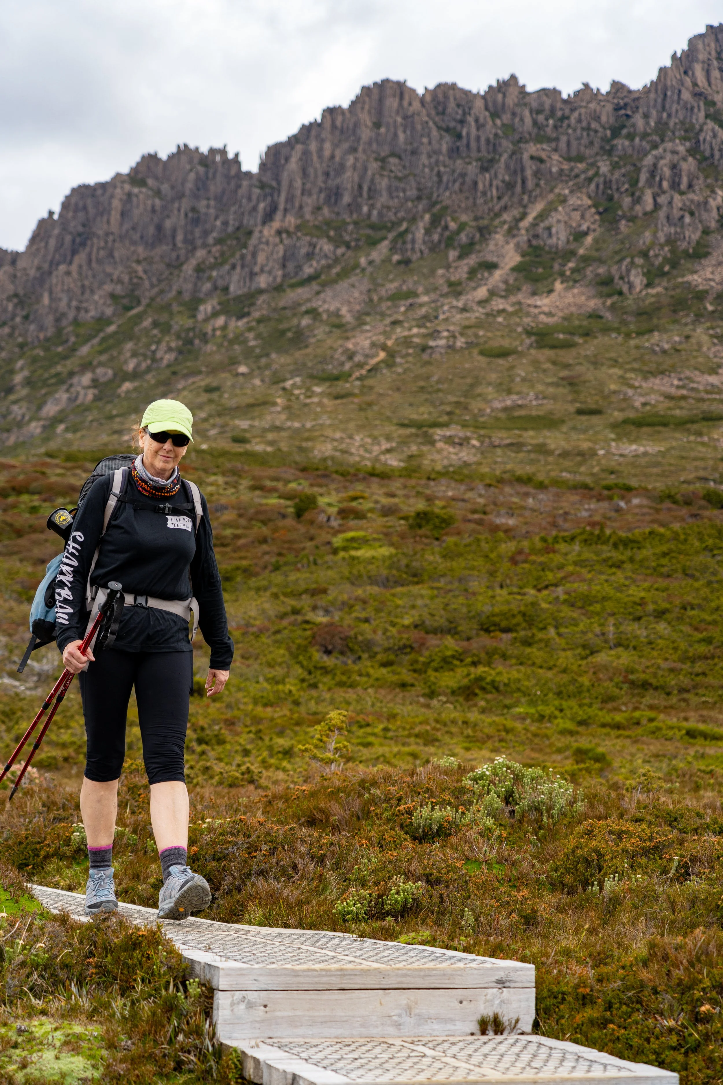
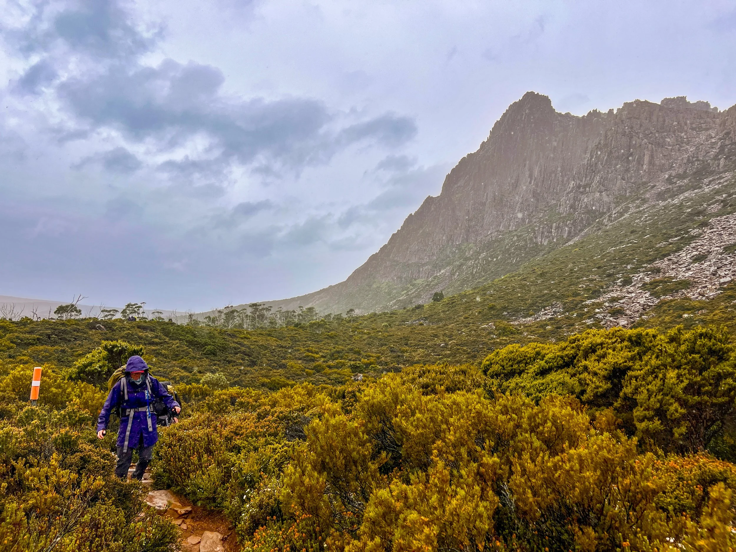
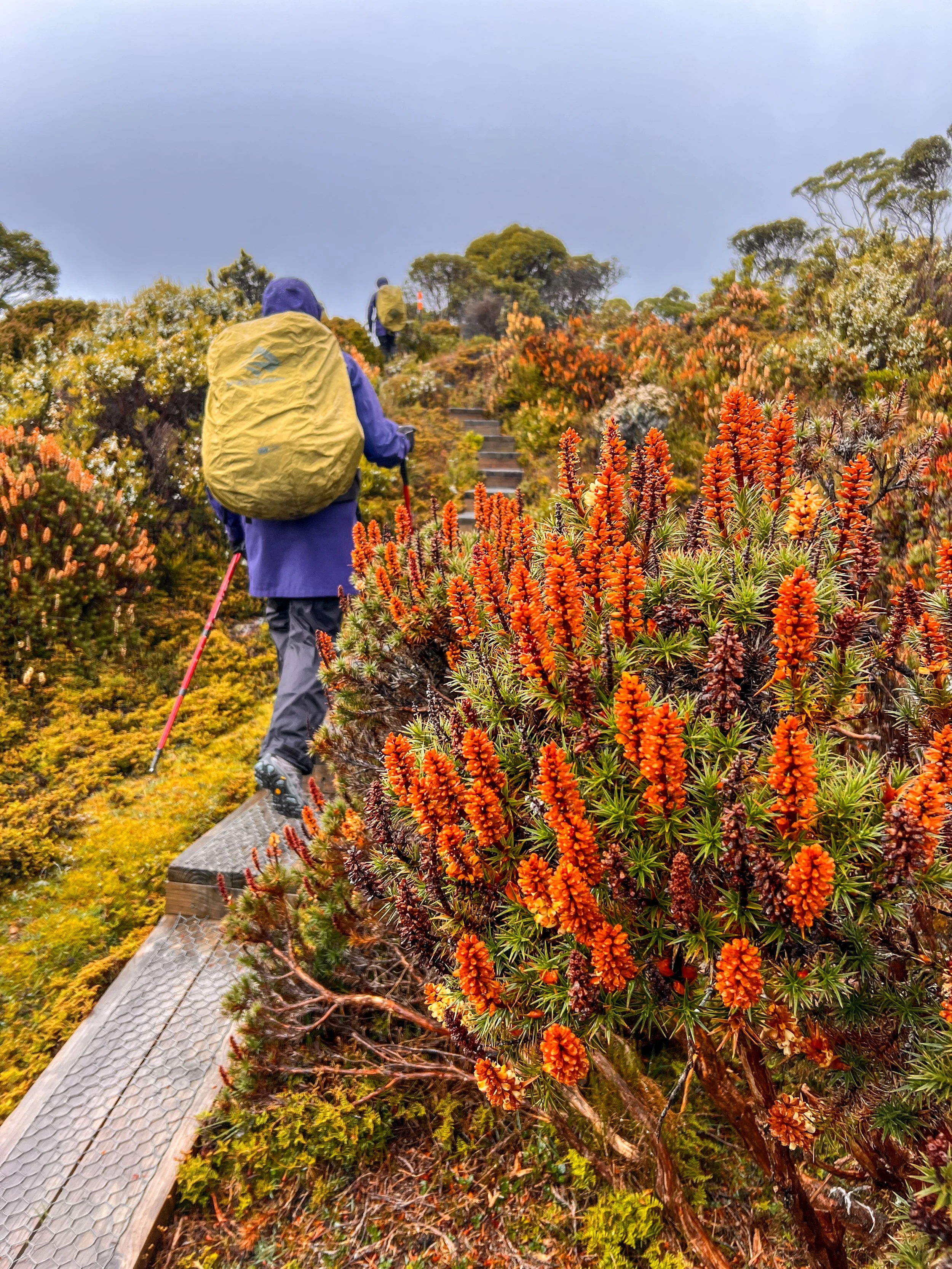
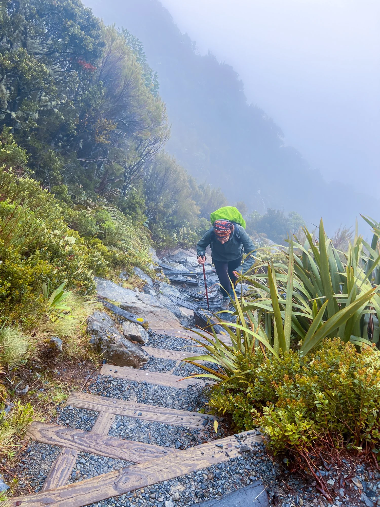
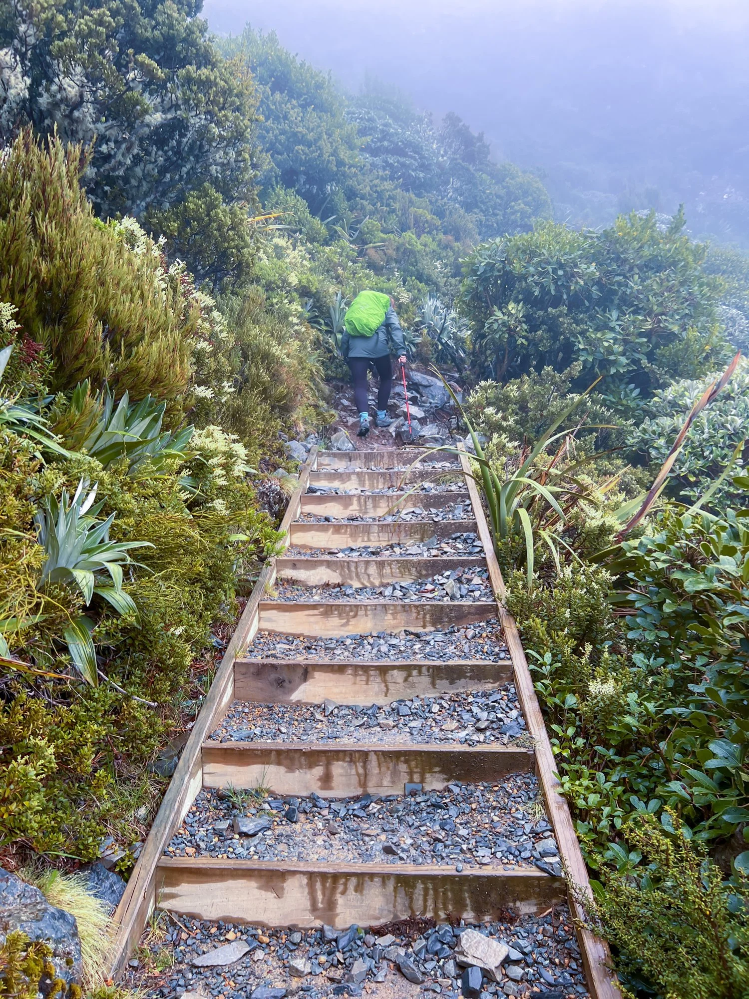
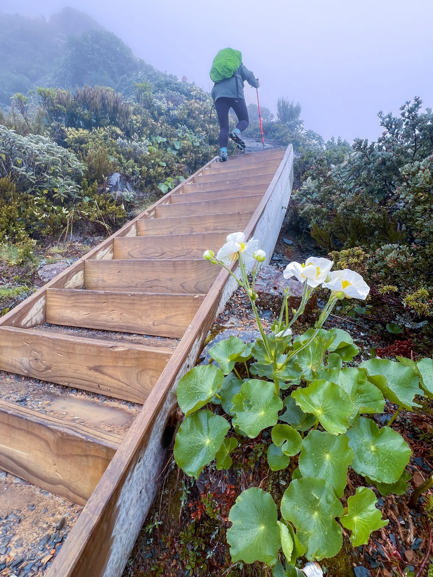
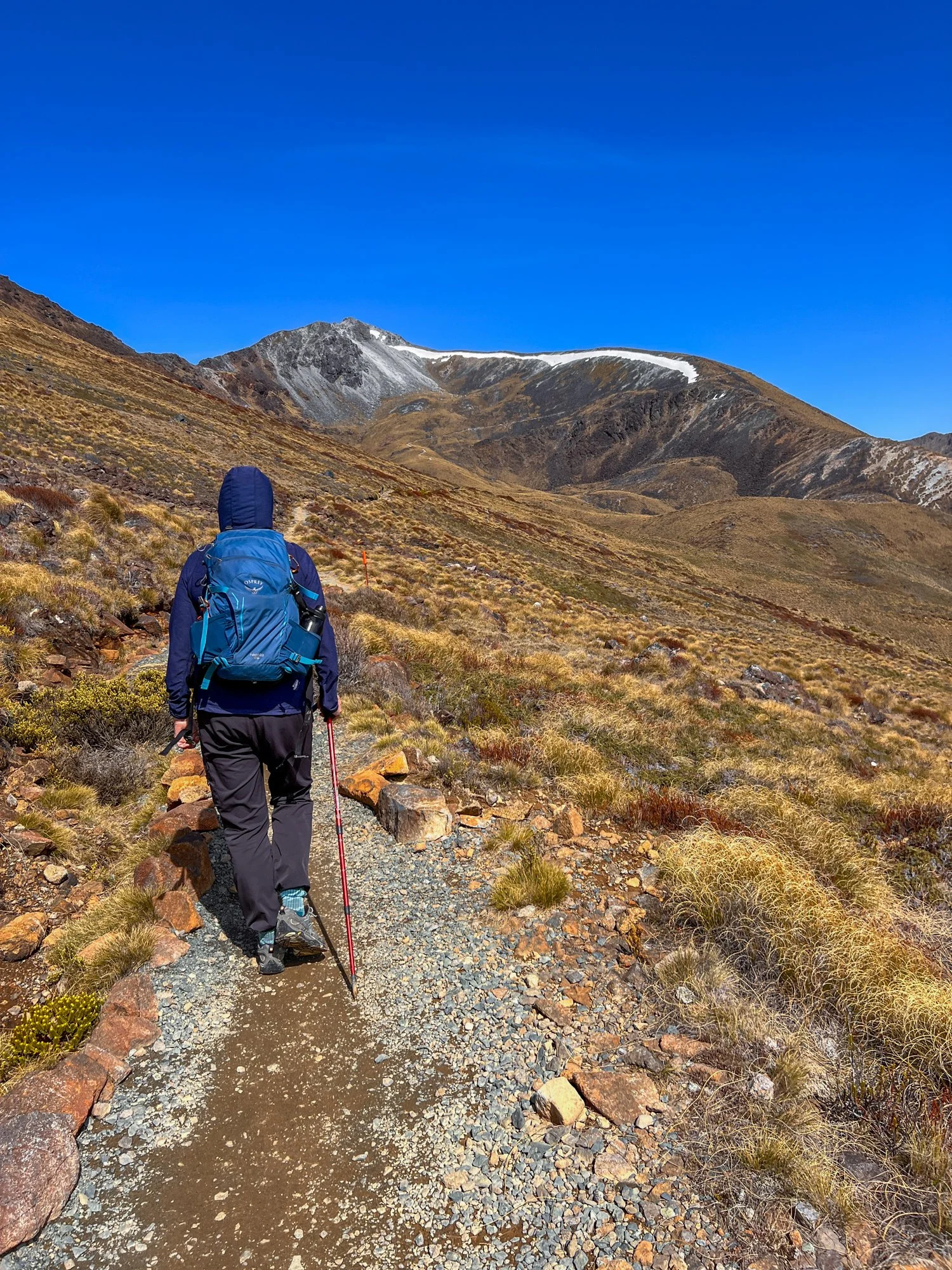
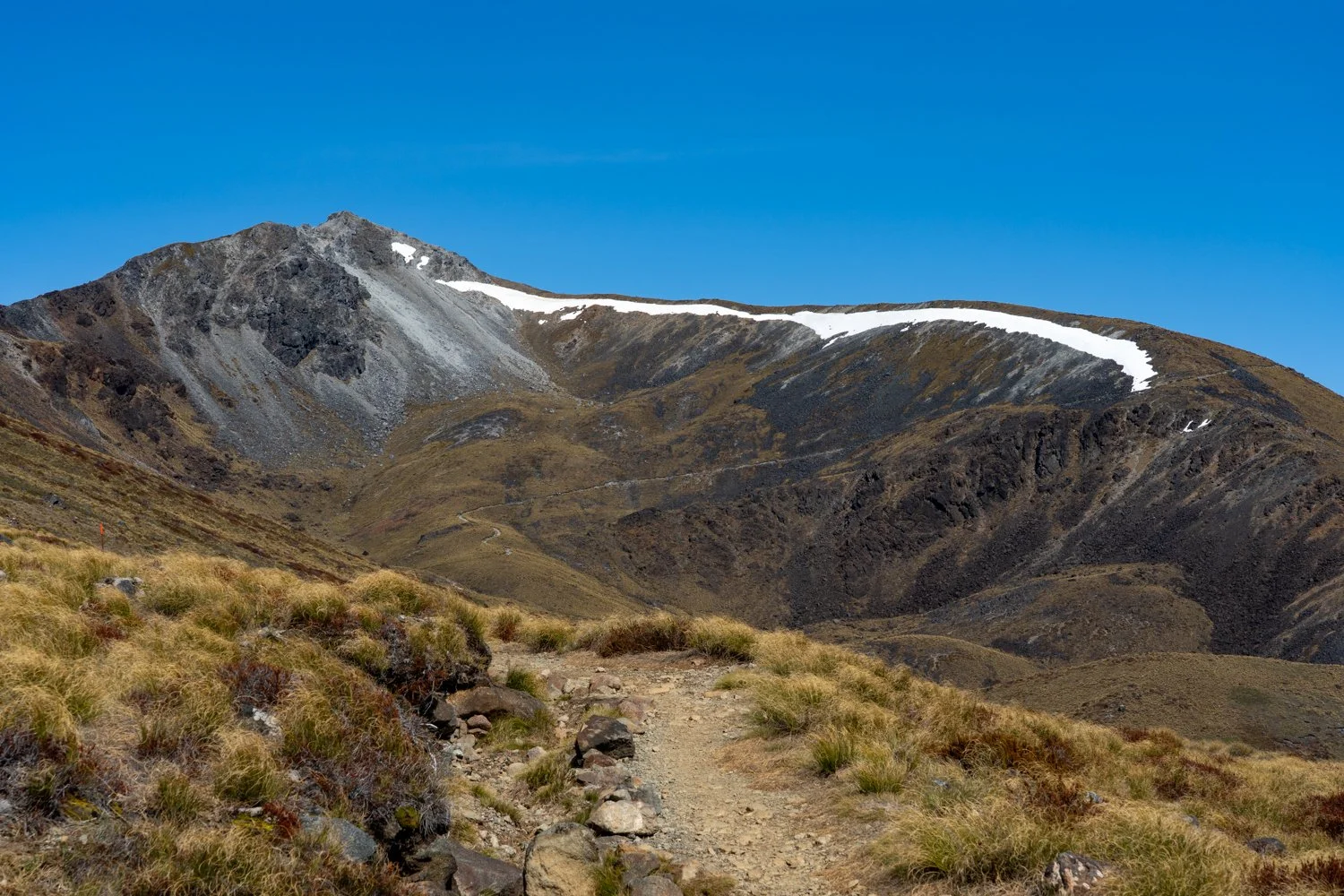
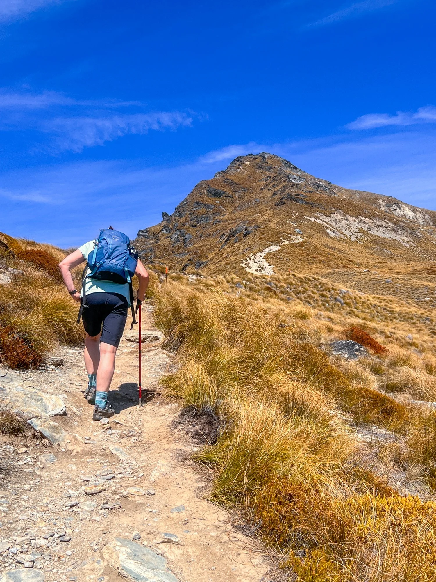
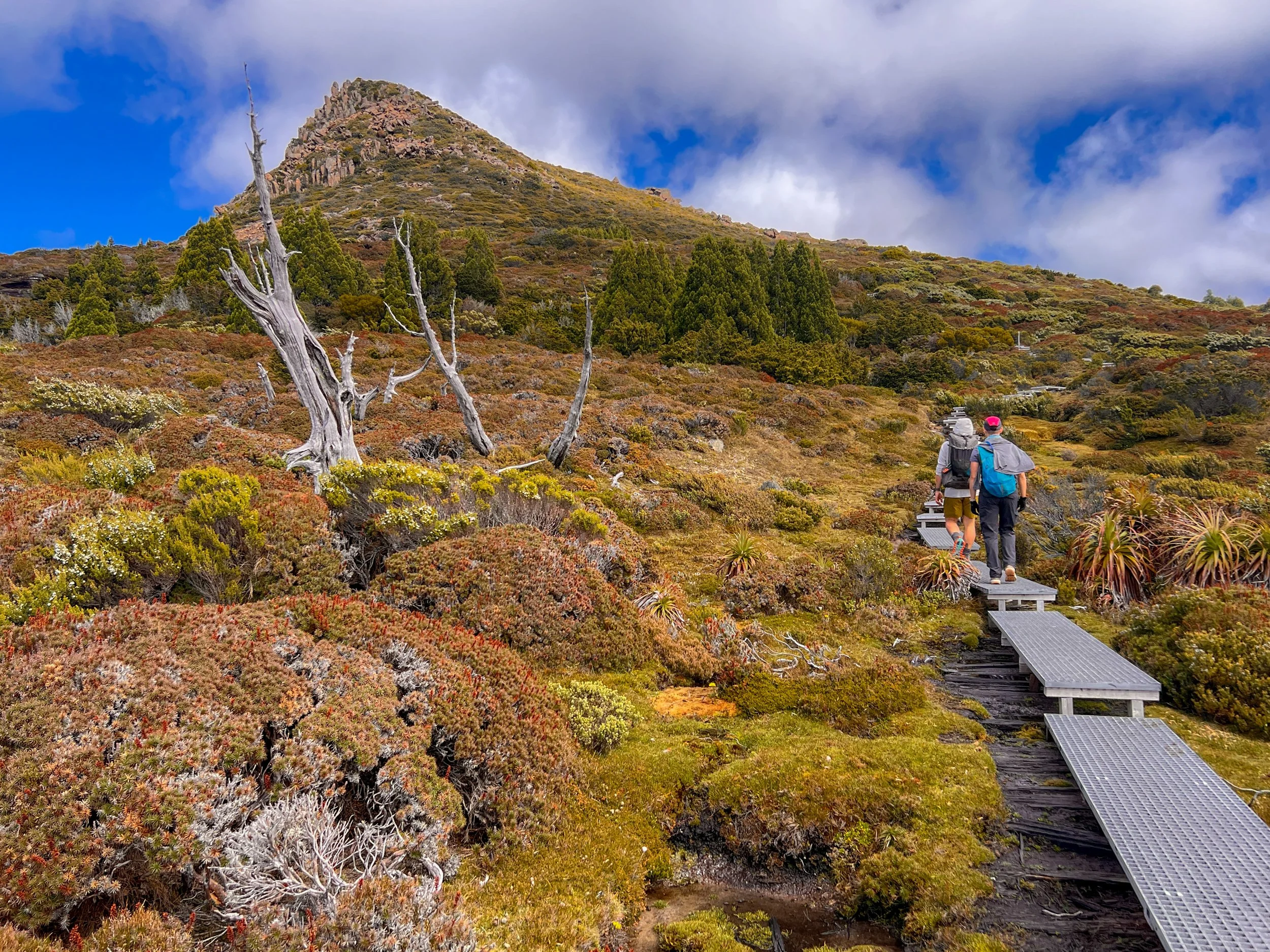
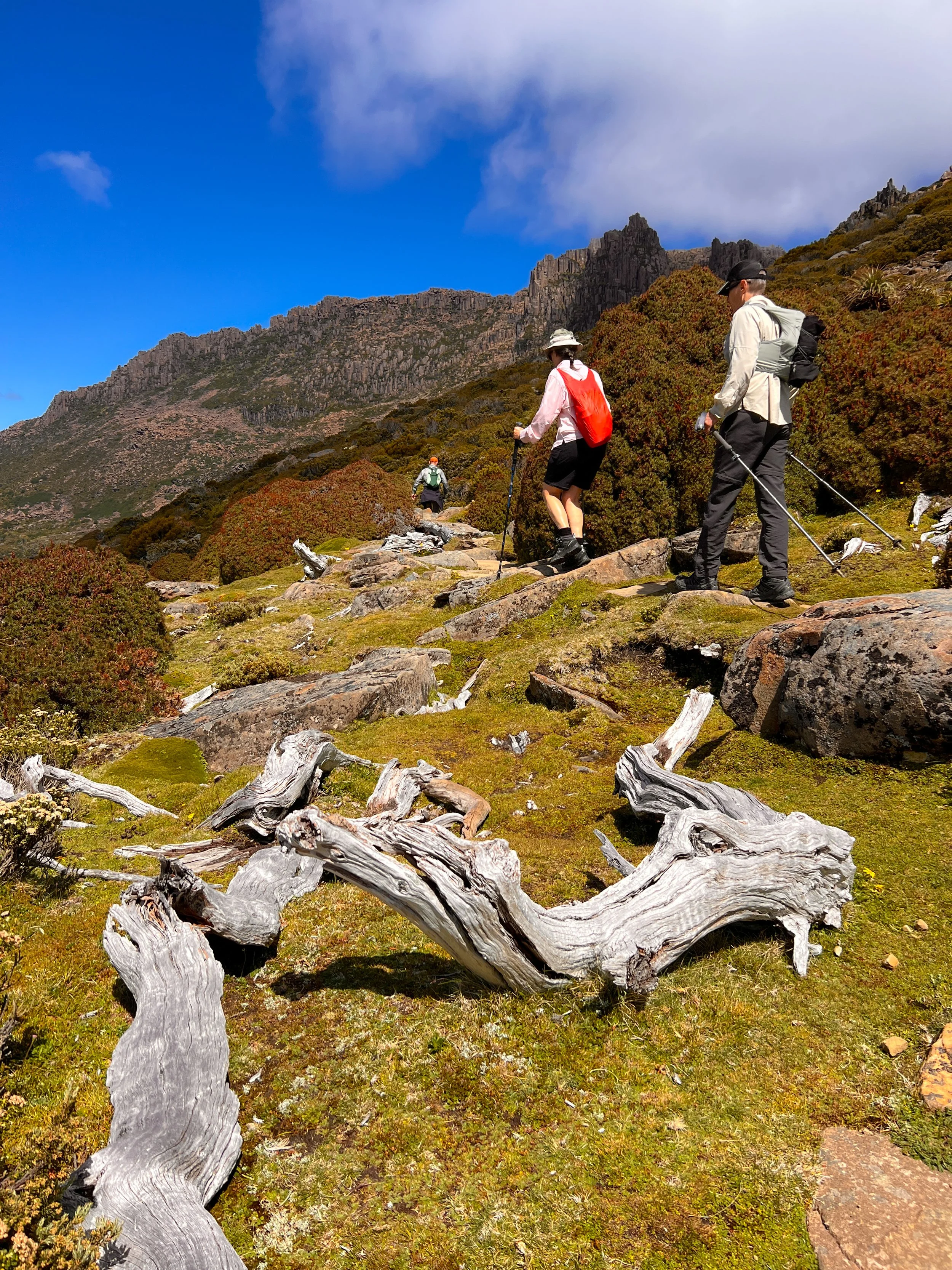
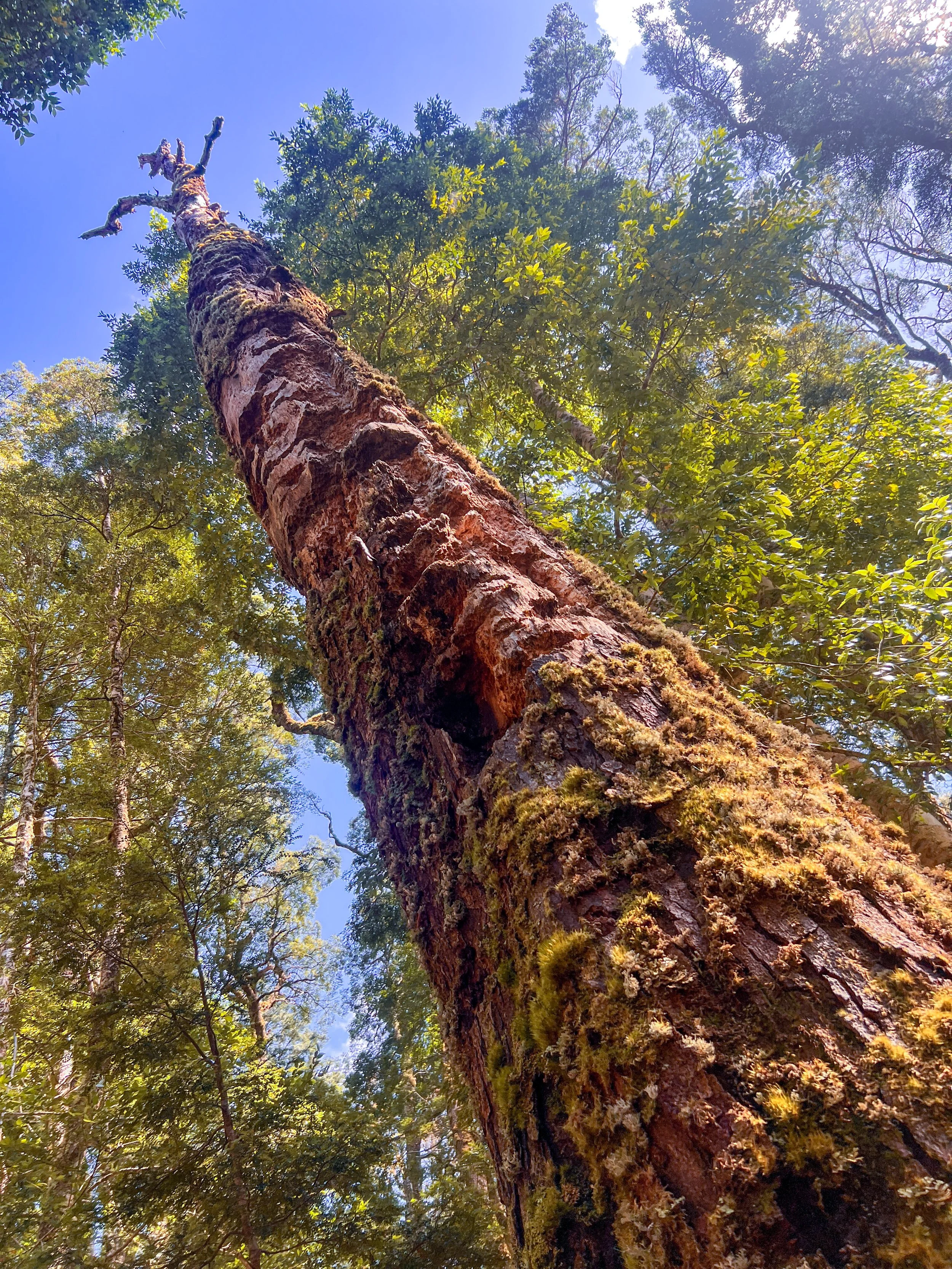
With Kathy insisting I leave her behind (that is one amazing wife), the rest of us turn uphill to tackle Mount Ossa: a jagged dolerite beast and, at 1,617 metres, Tasmania’s highest peak. What begins as a gentle slope soon becomes a short but steep climb, mercifully aided by a newly built staircase.
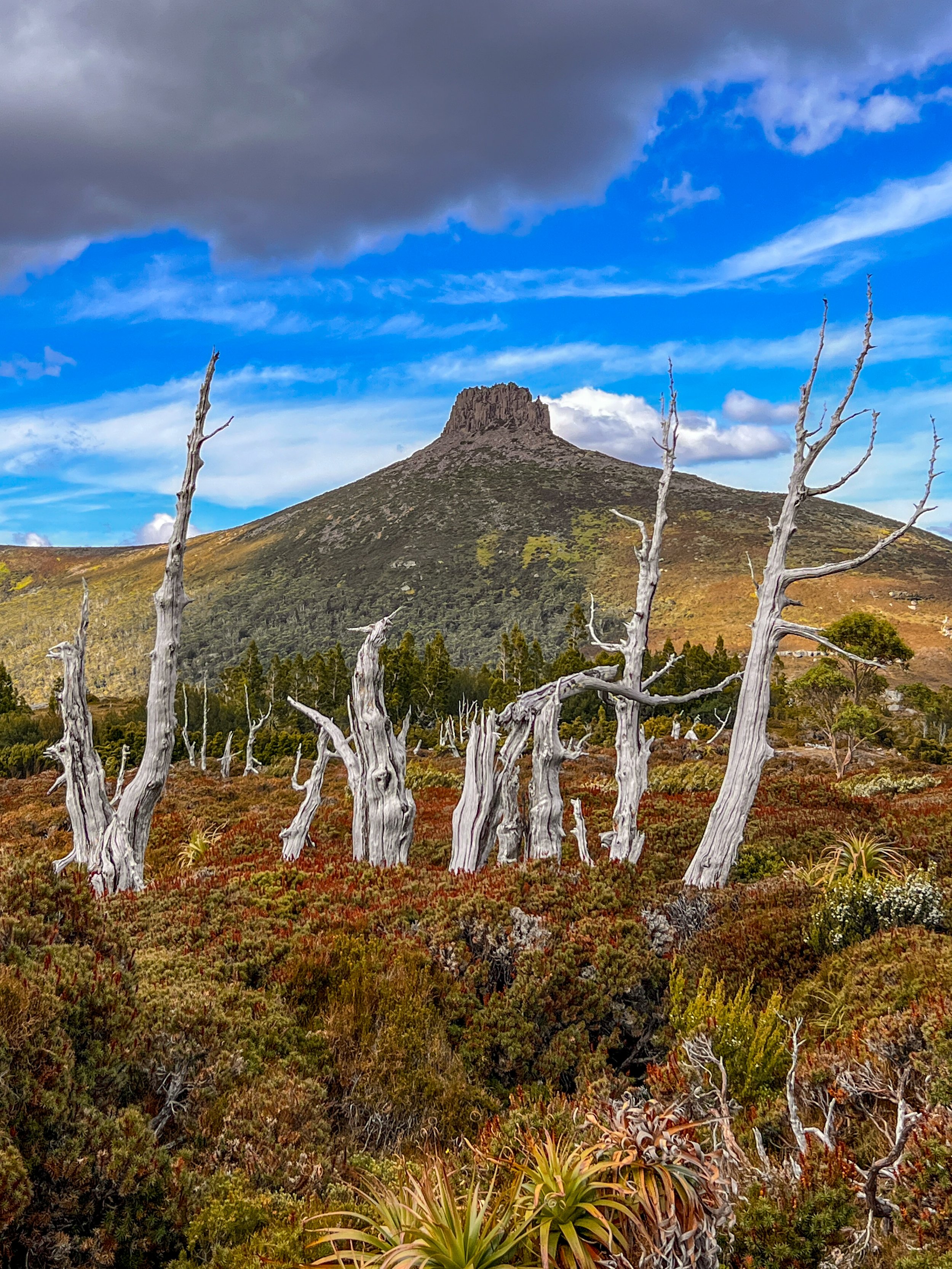
From there we skirt the edge of Mount Doris, passing ancient dead trees whose limbs lie discarded on the ground like the giant bones of long-extinct dinosaurs.
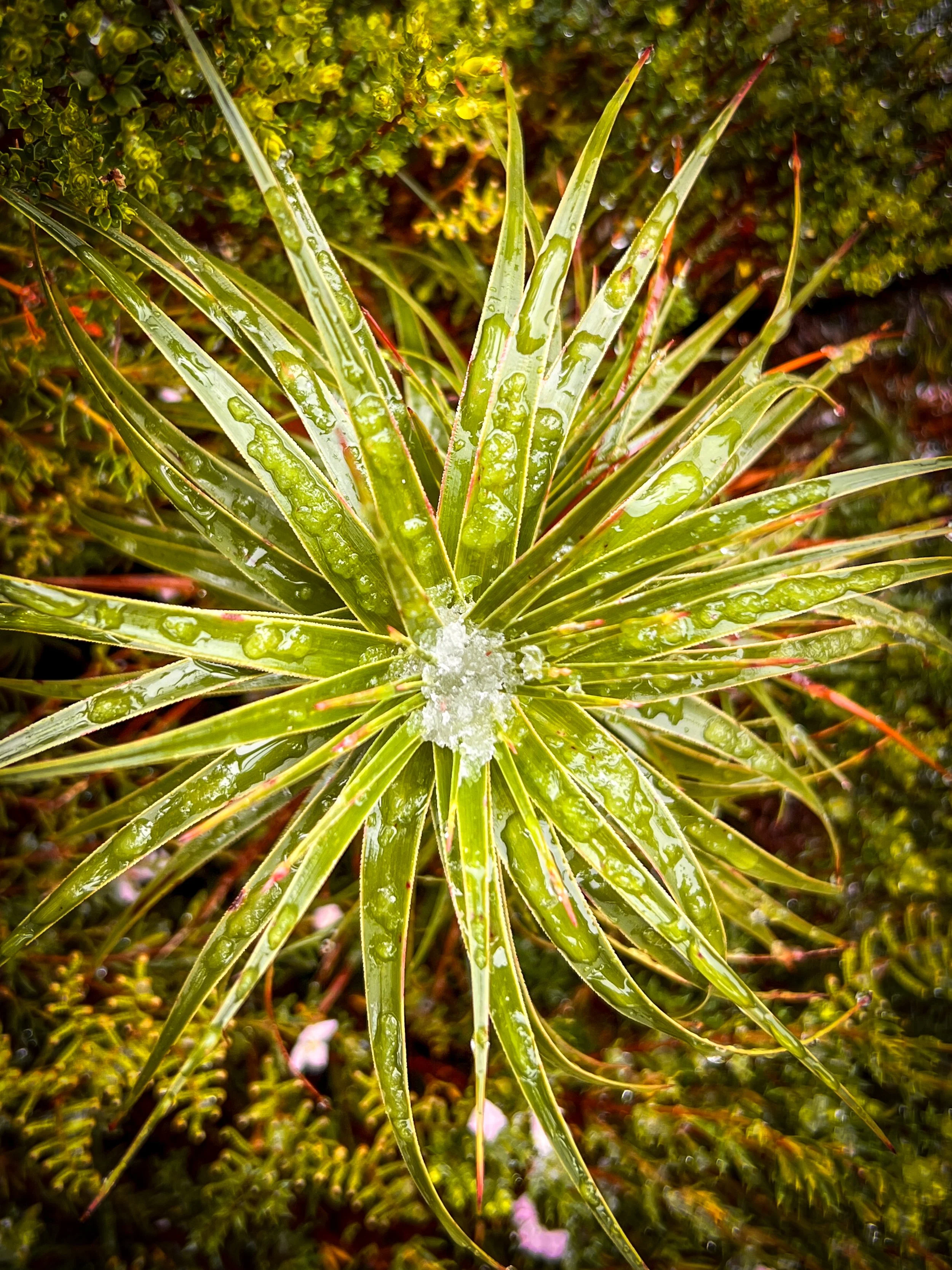
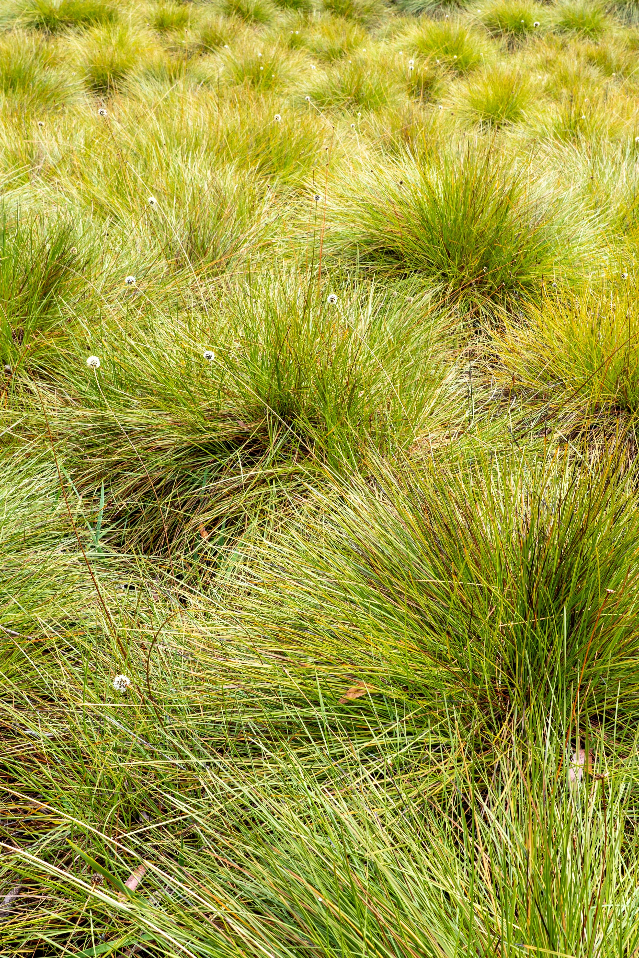
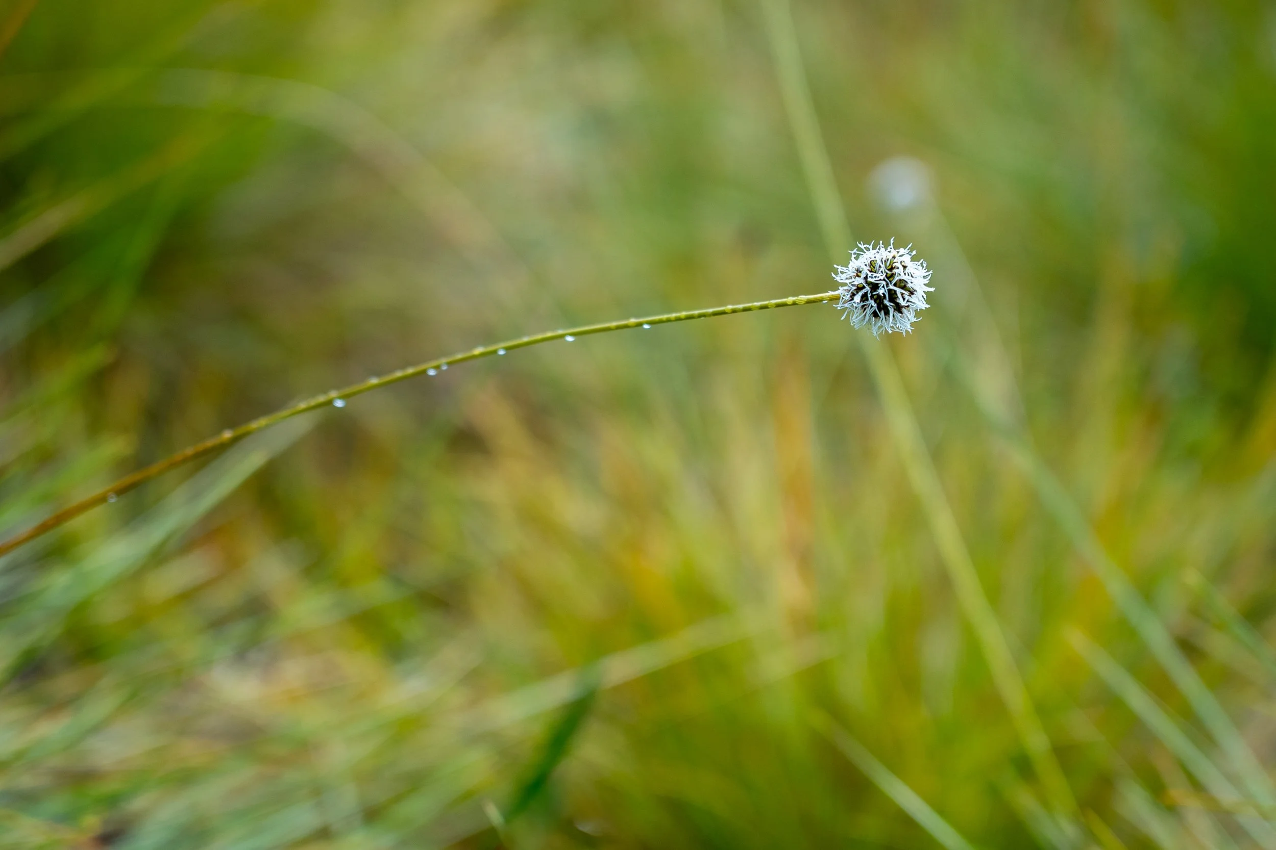
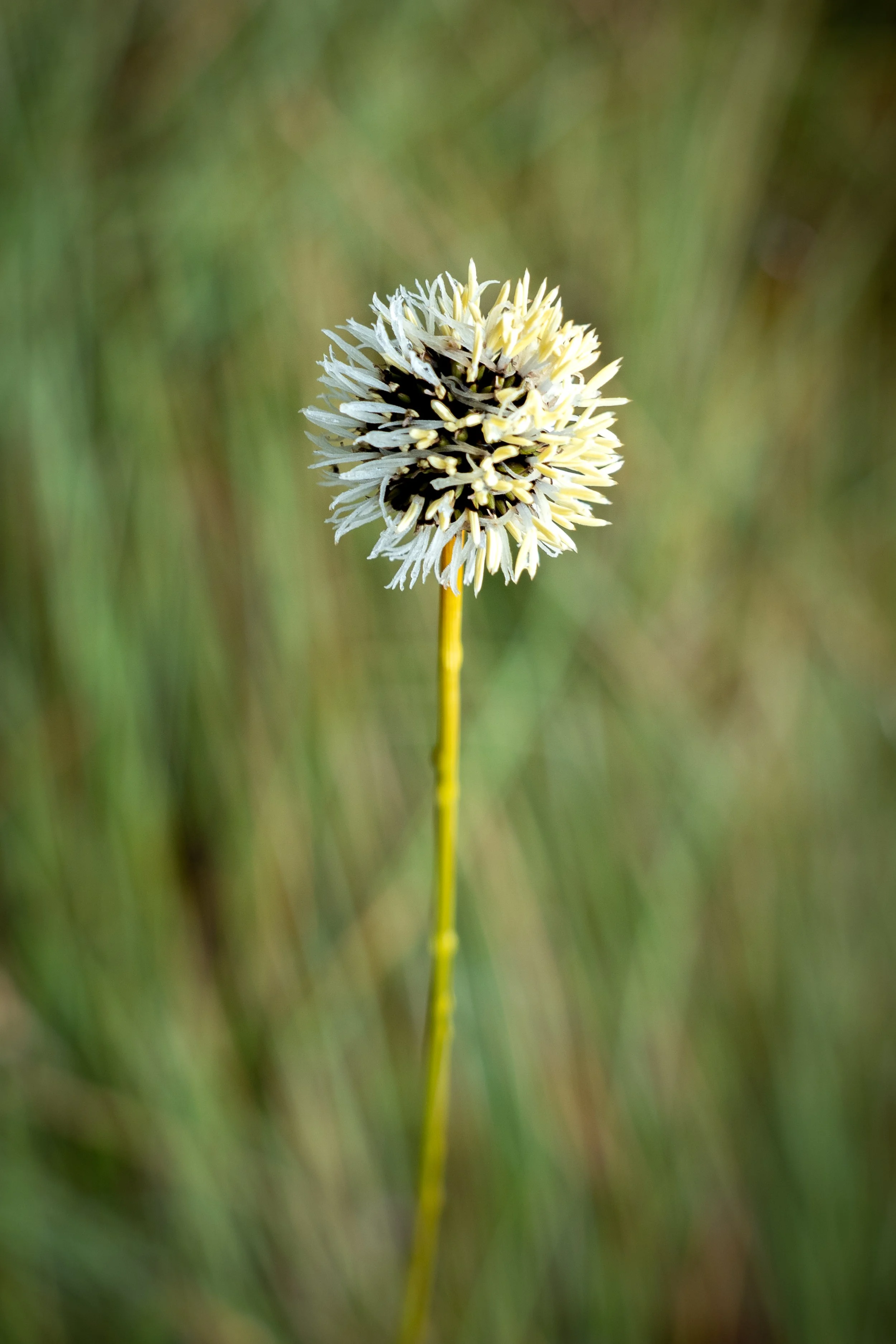
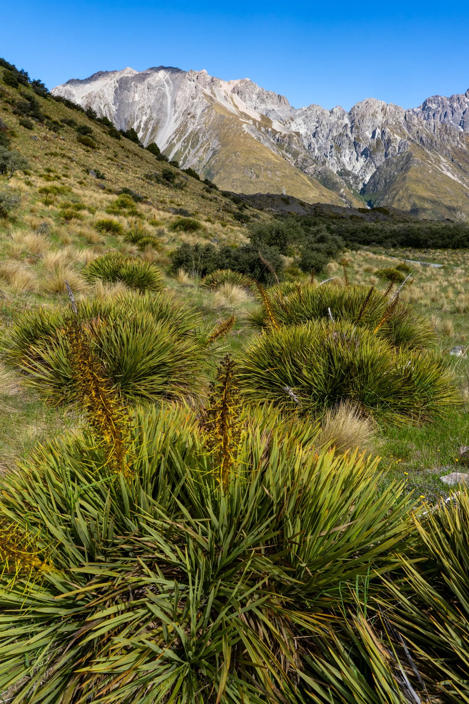
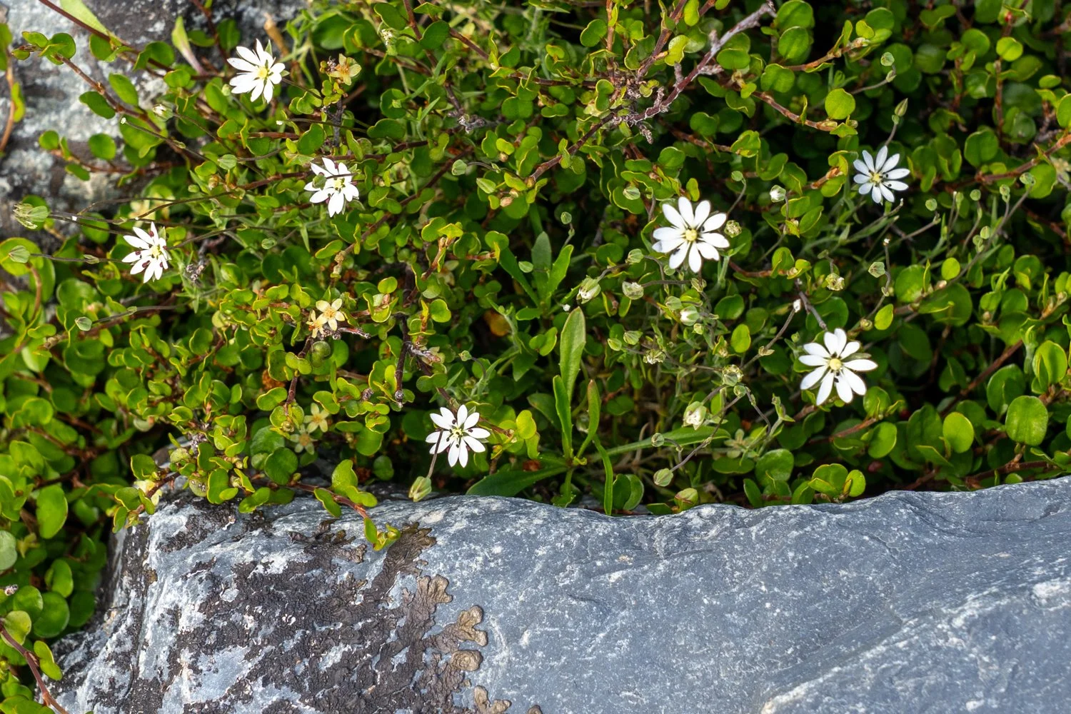
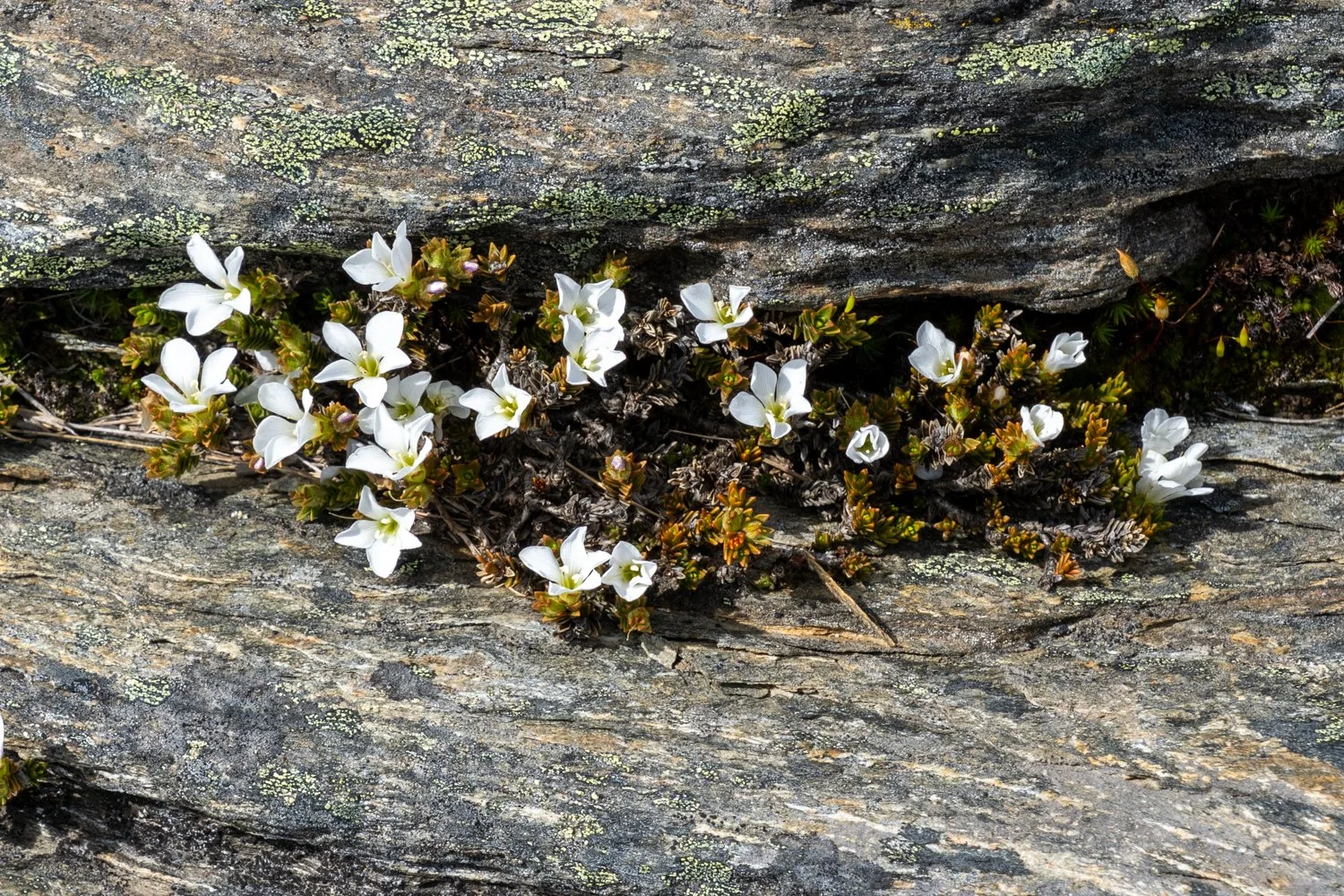
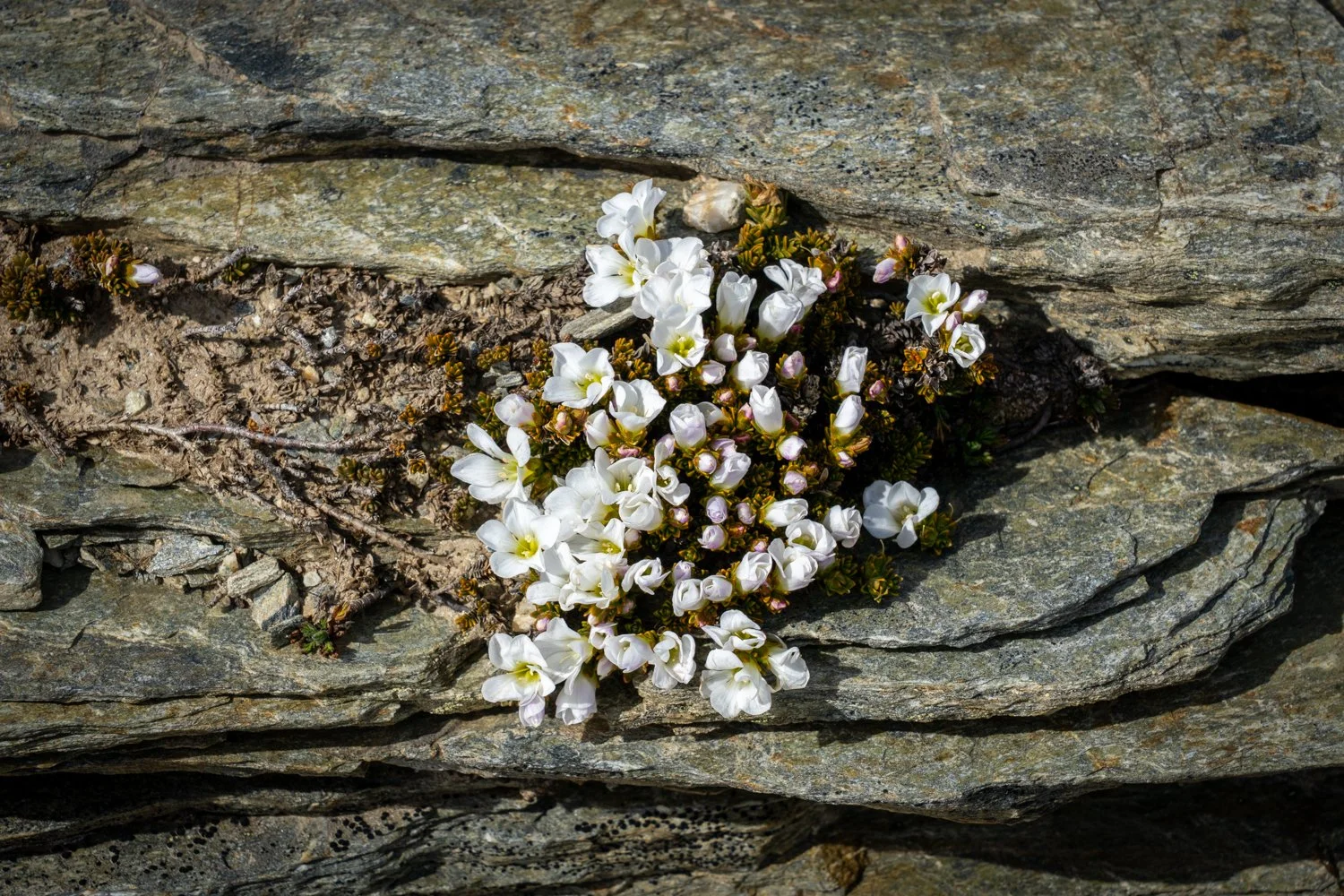
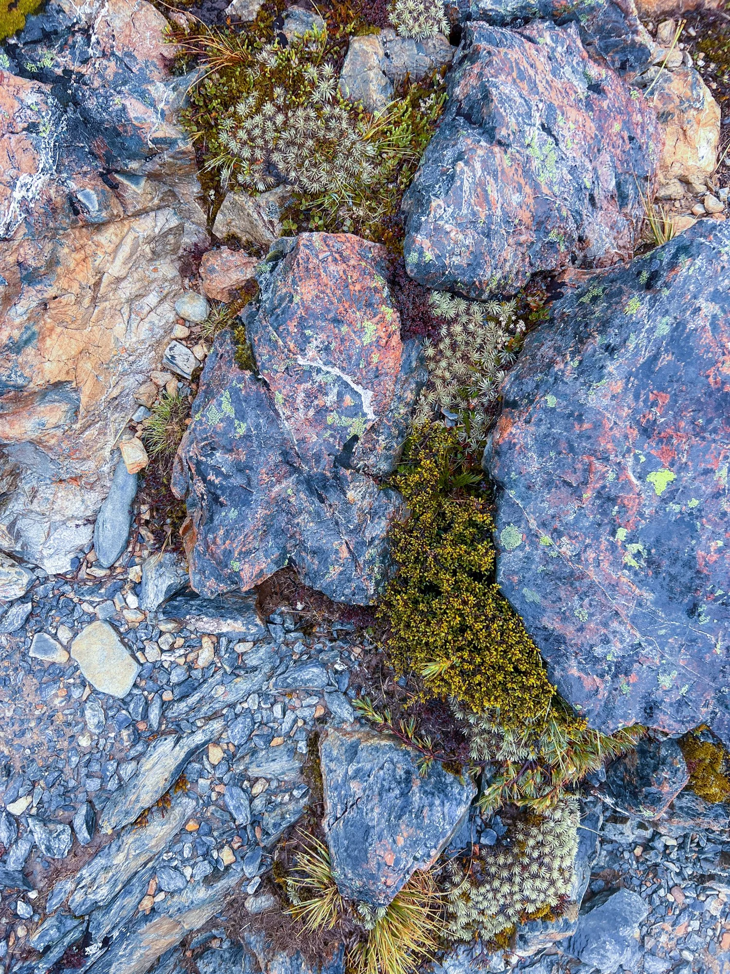
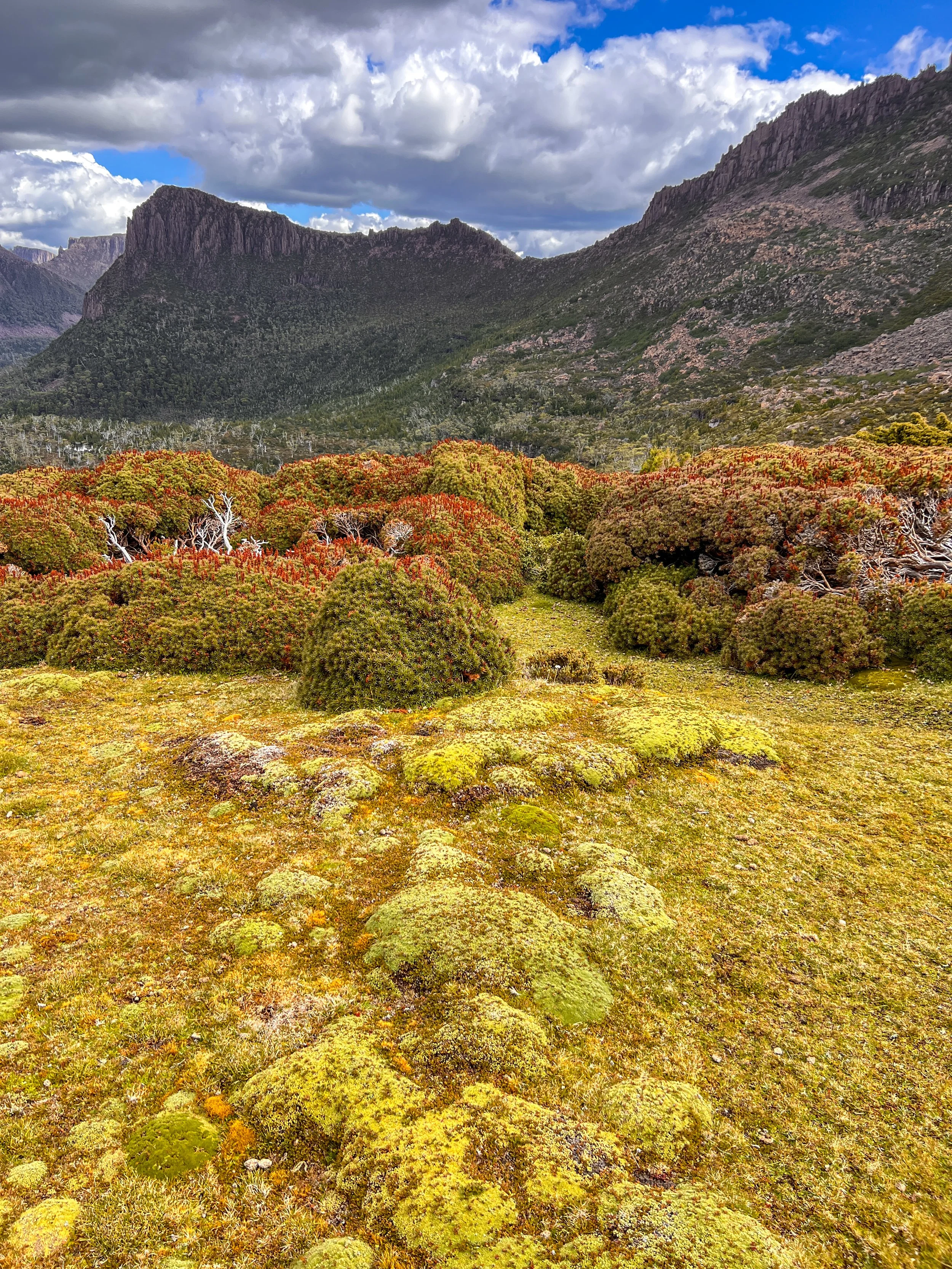
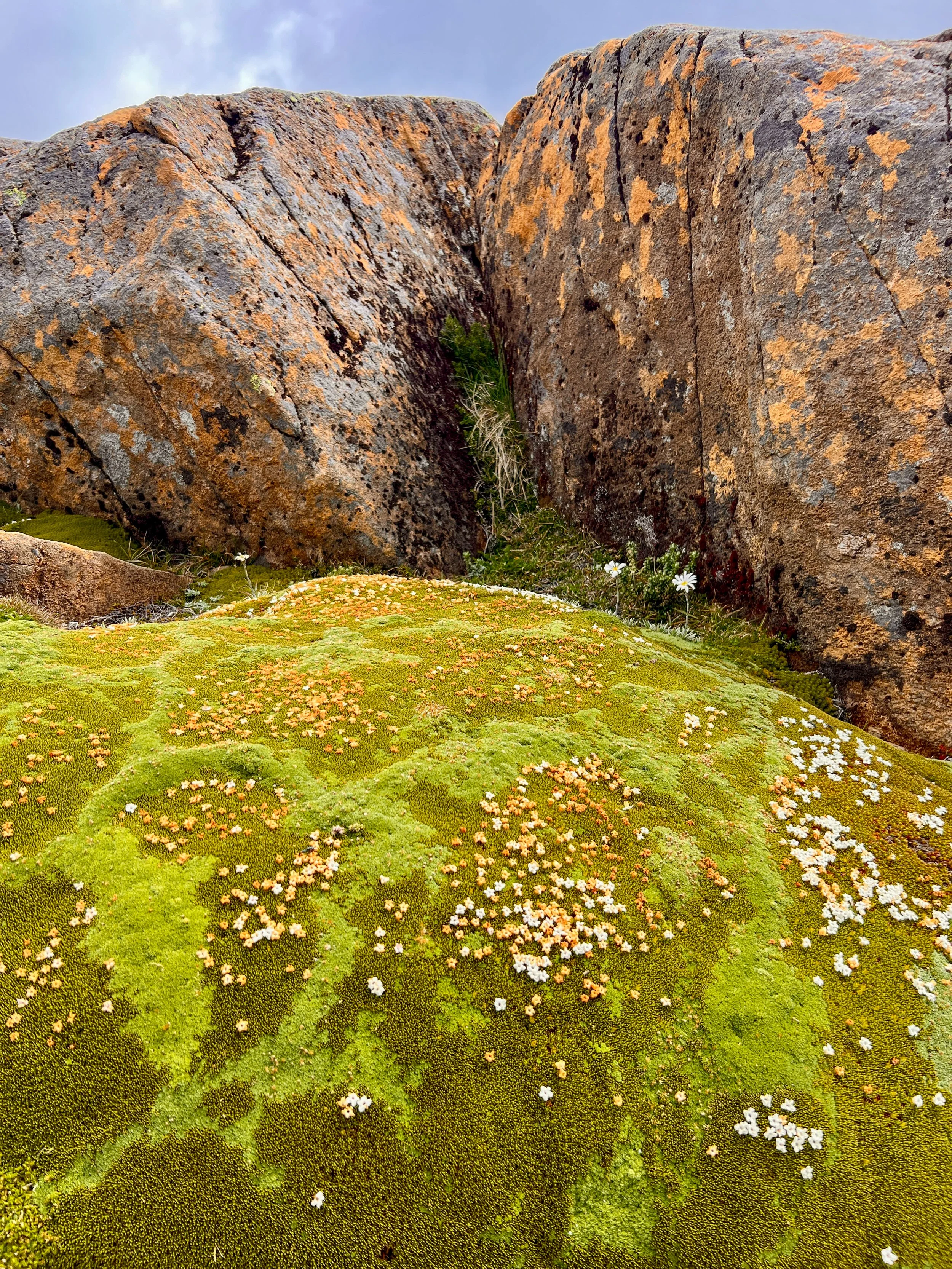
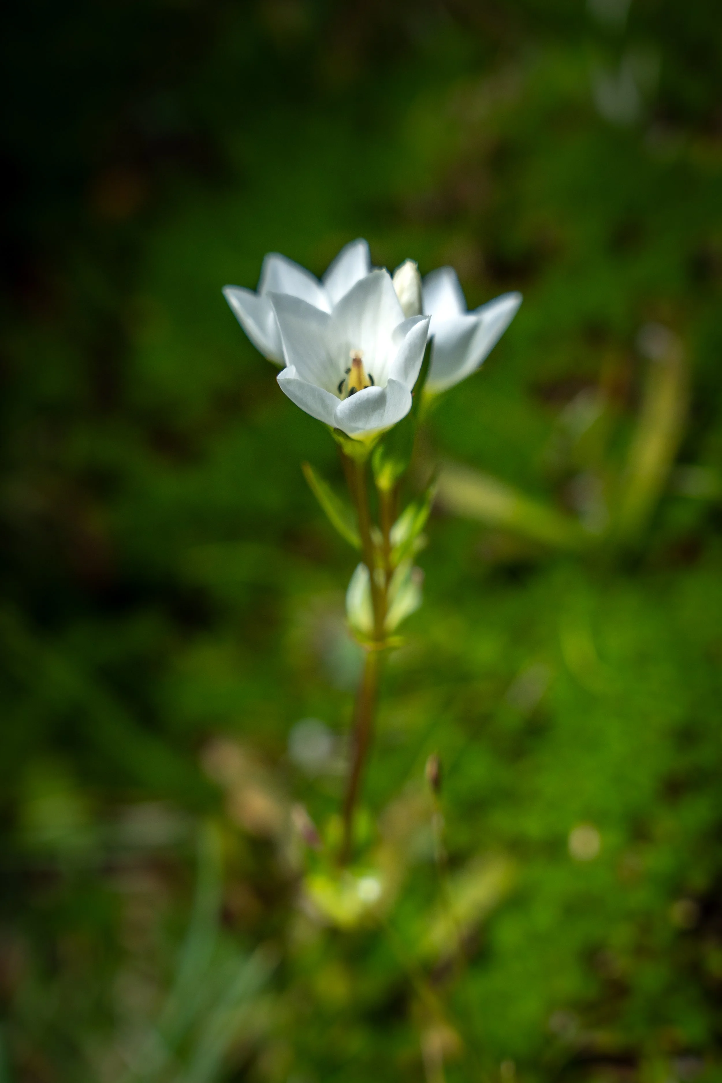
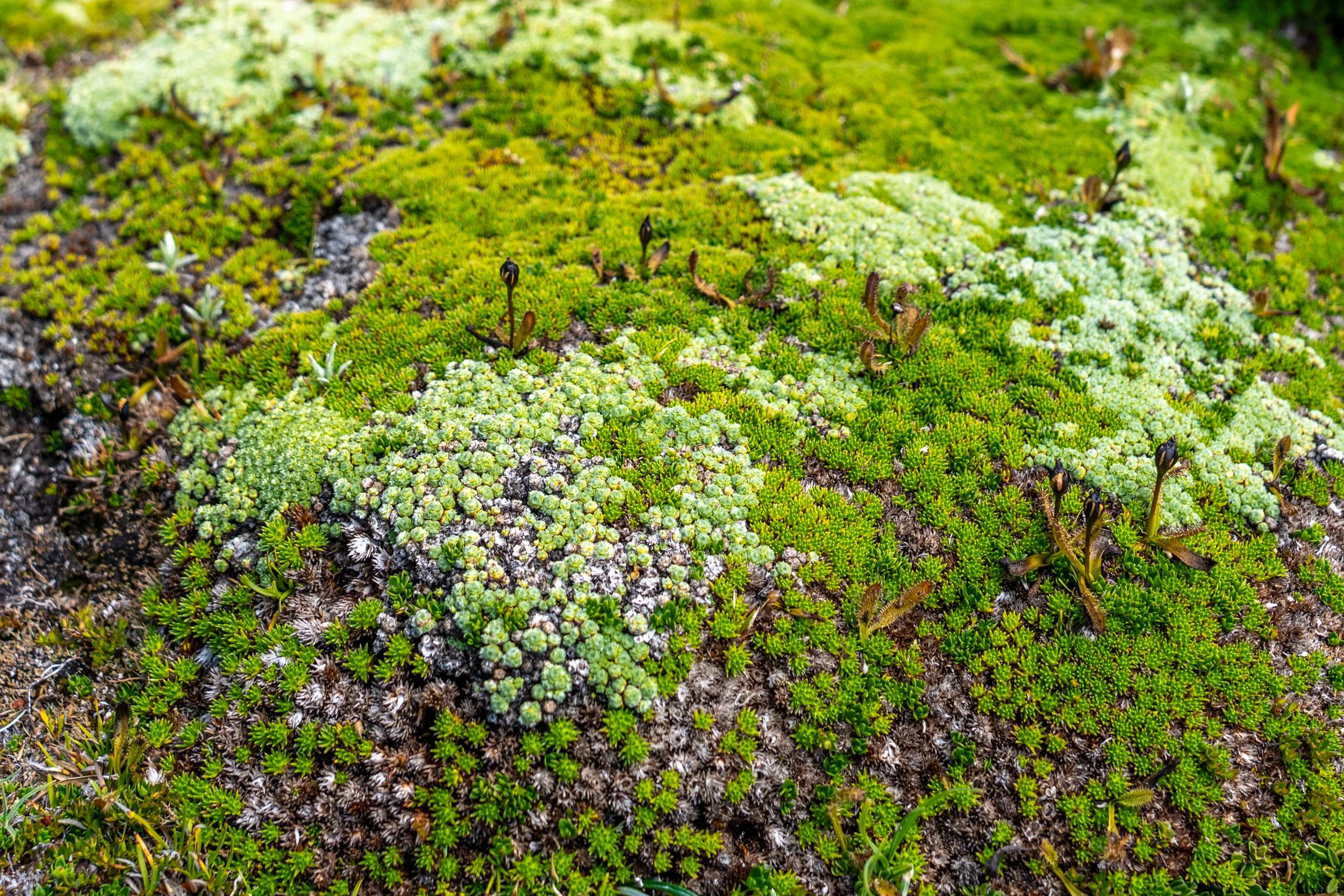
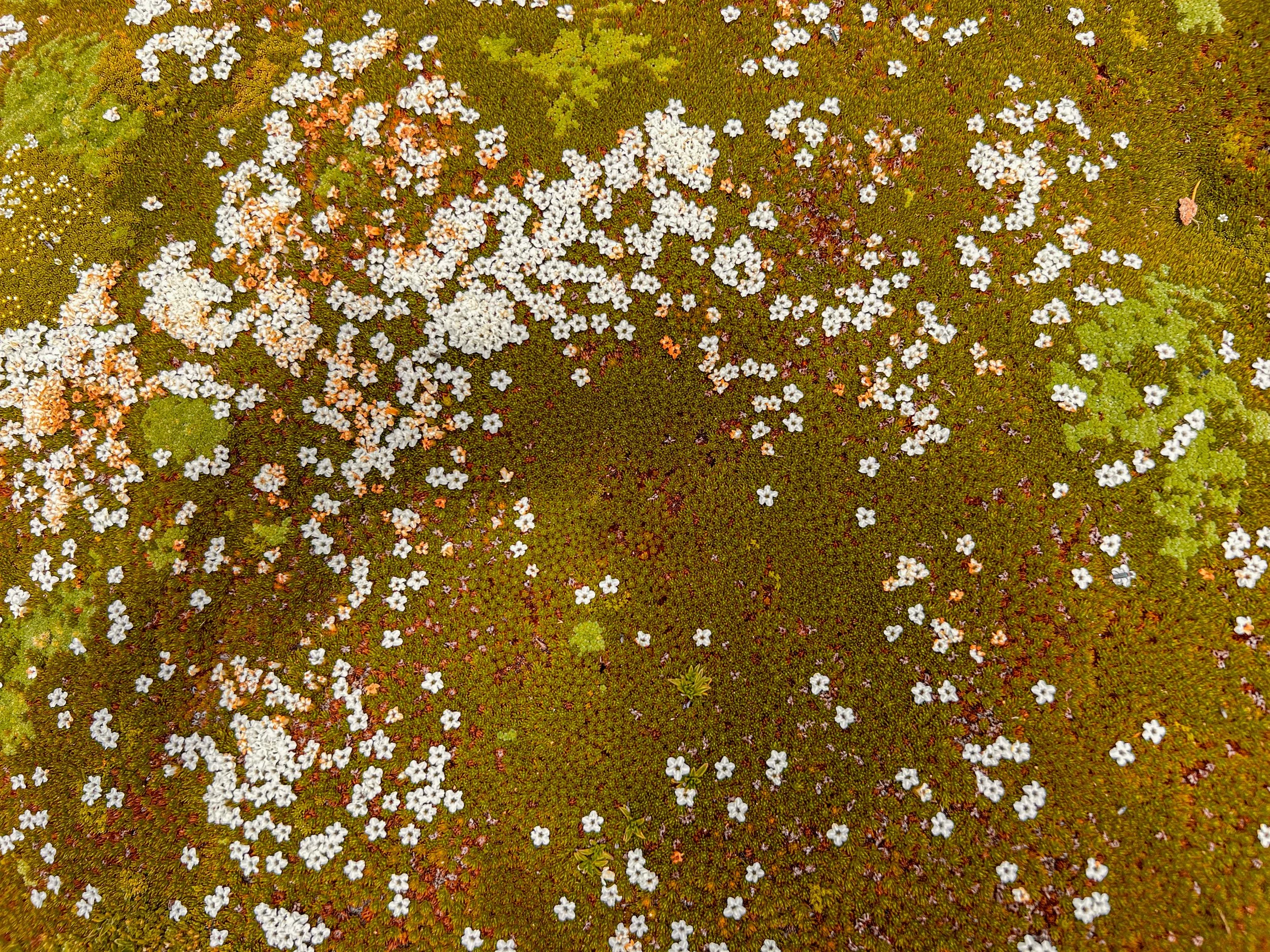
At one point we cross an area of iridescent green cushion plants dotted with tiny pools and wind-flattened shrubs. Our guide told us a “true story” (which meant it probably wasn’t) about Japanese gardeners climbing the mountain each year to tend their alpine garden. There were no bonsai shears in sight, but nature had clearly been doing an excellent job of landscaping this fairy-tale patch all on her own.
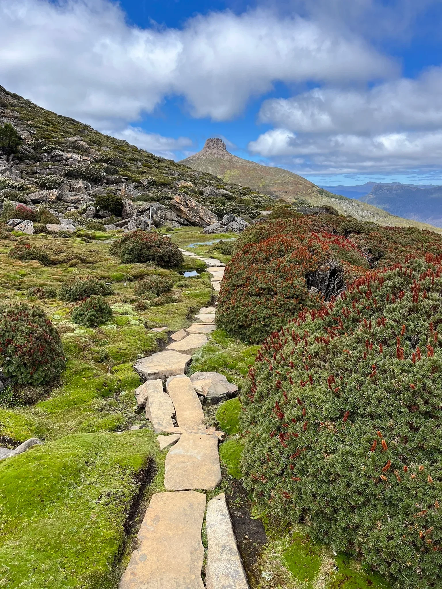
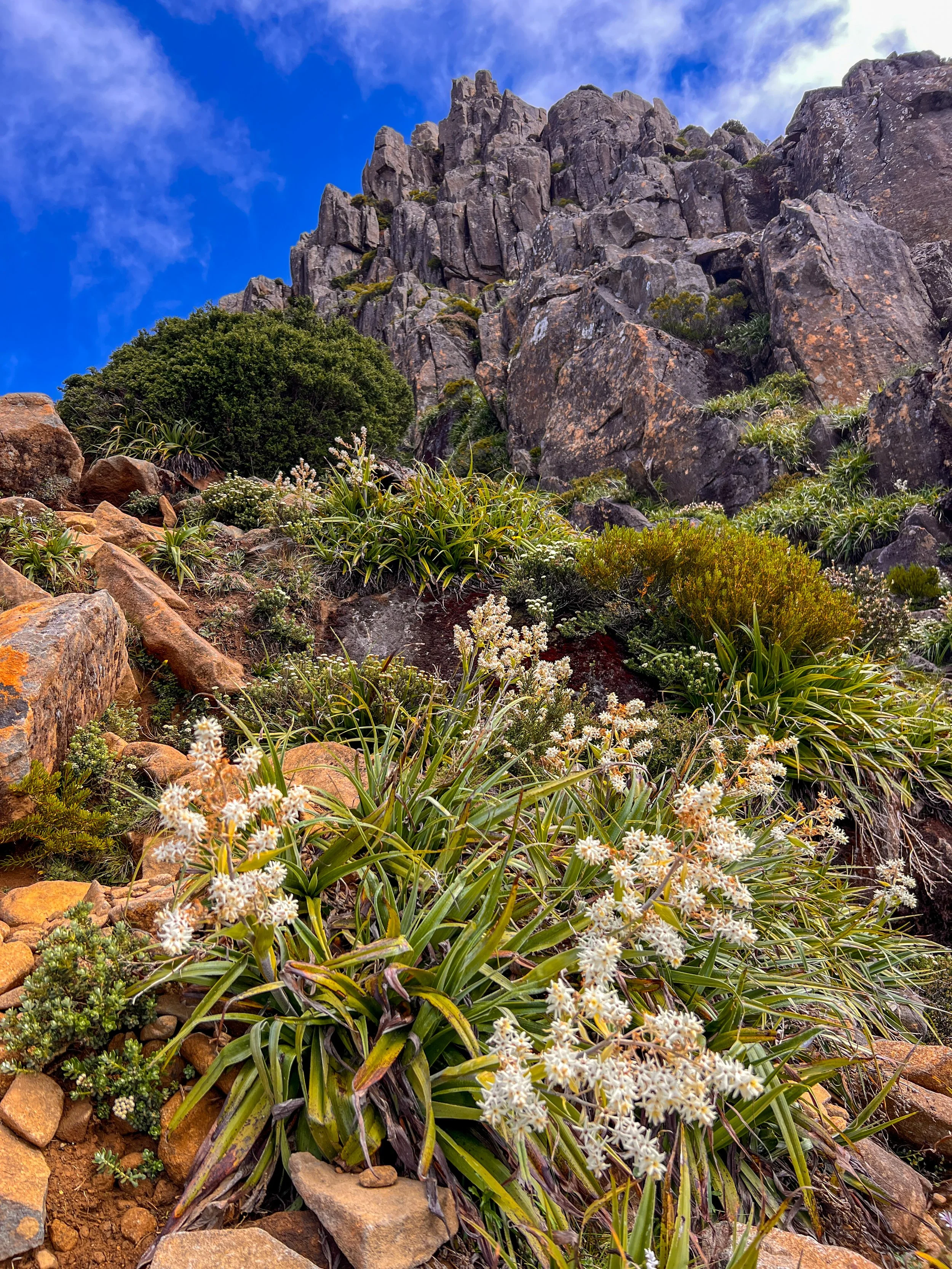
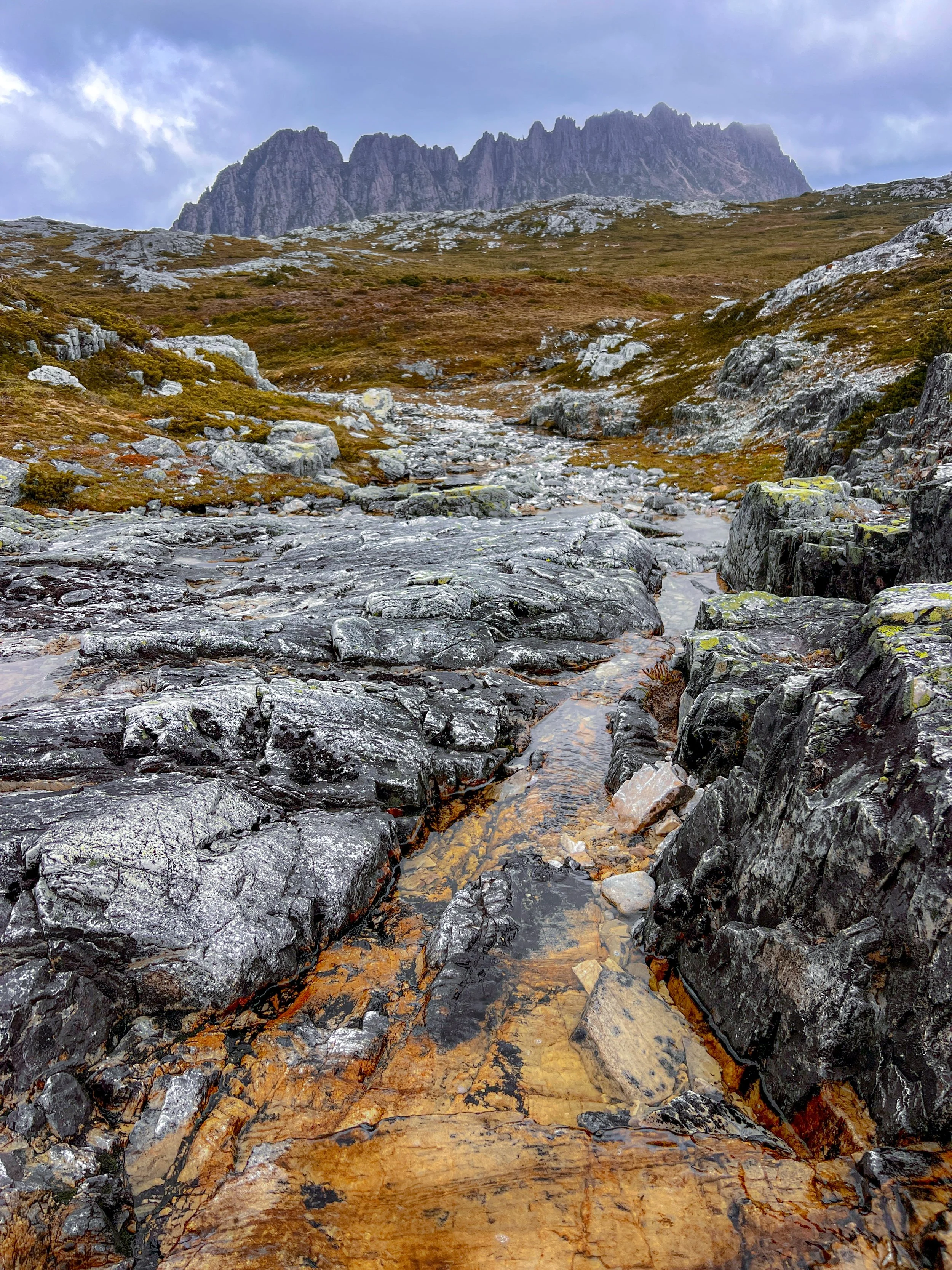
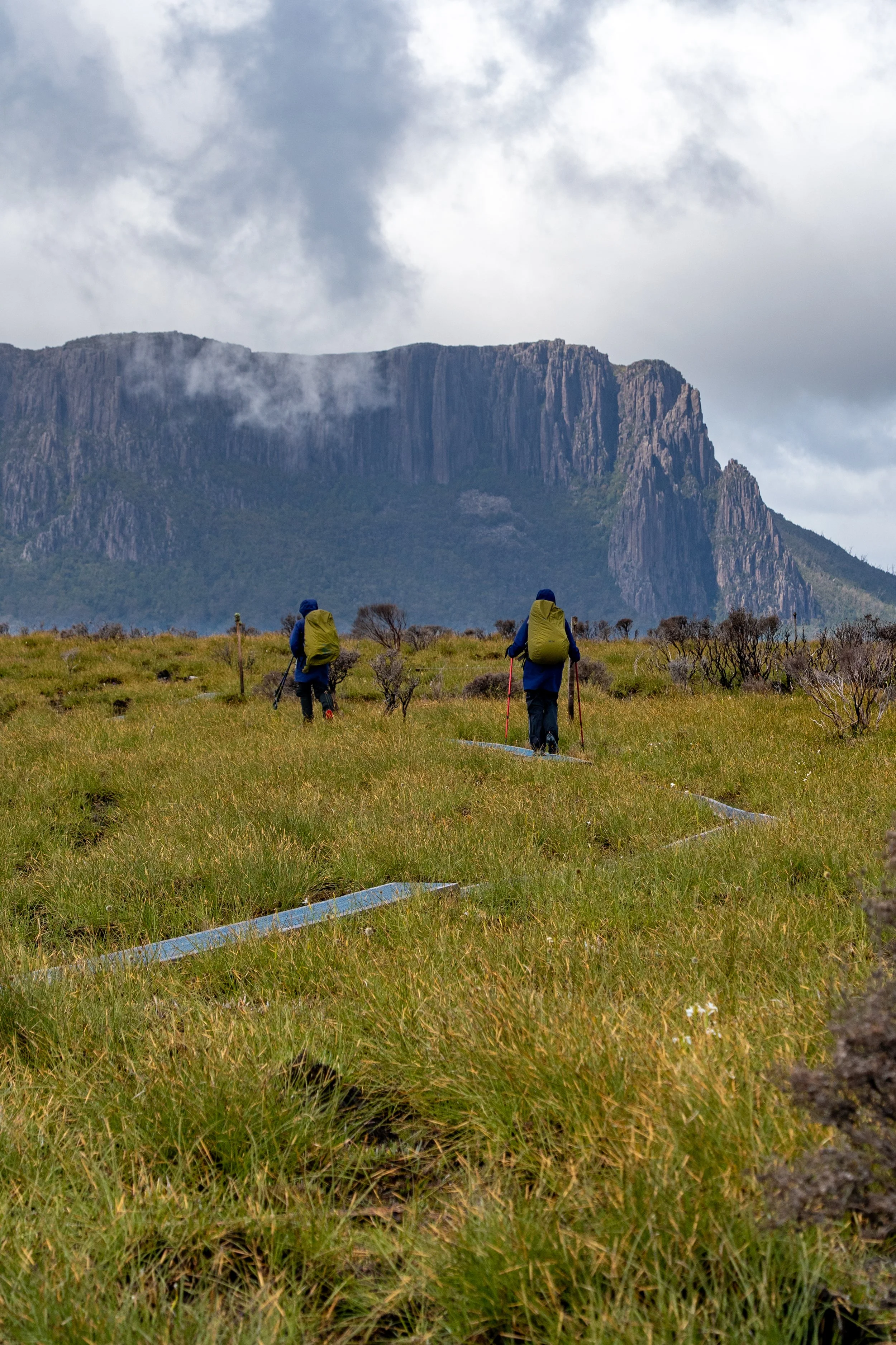
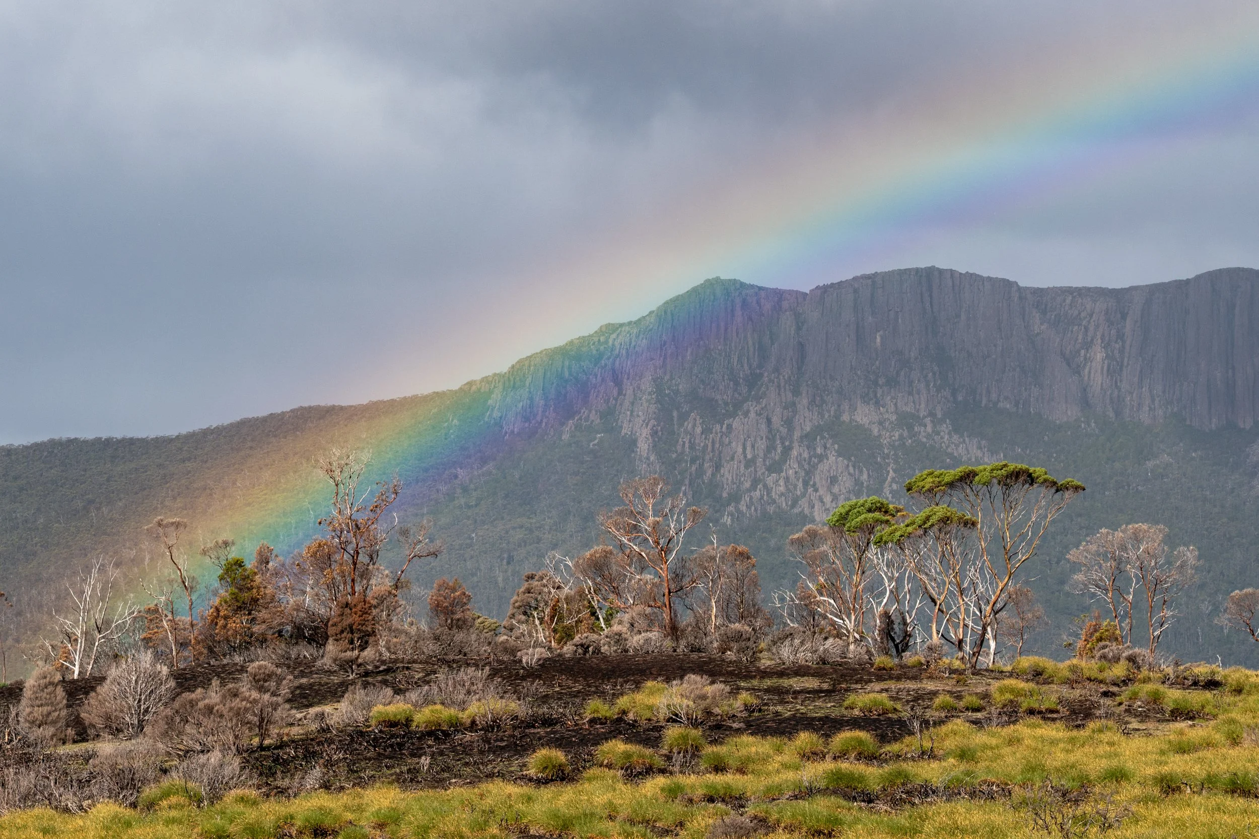
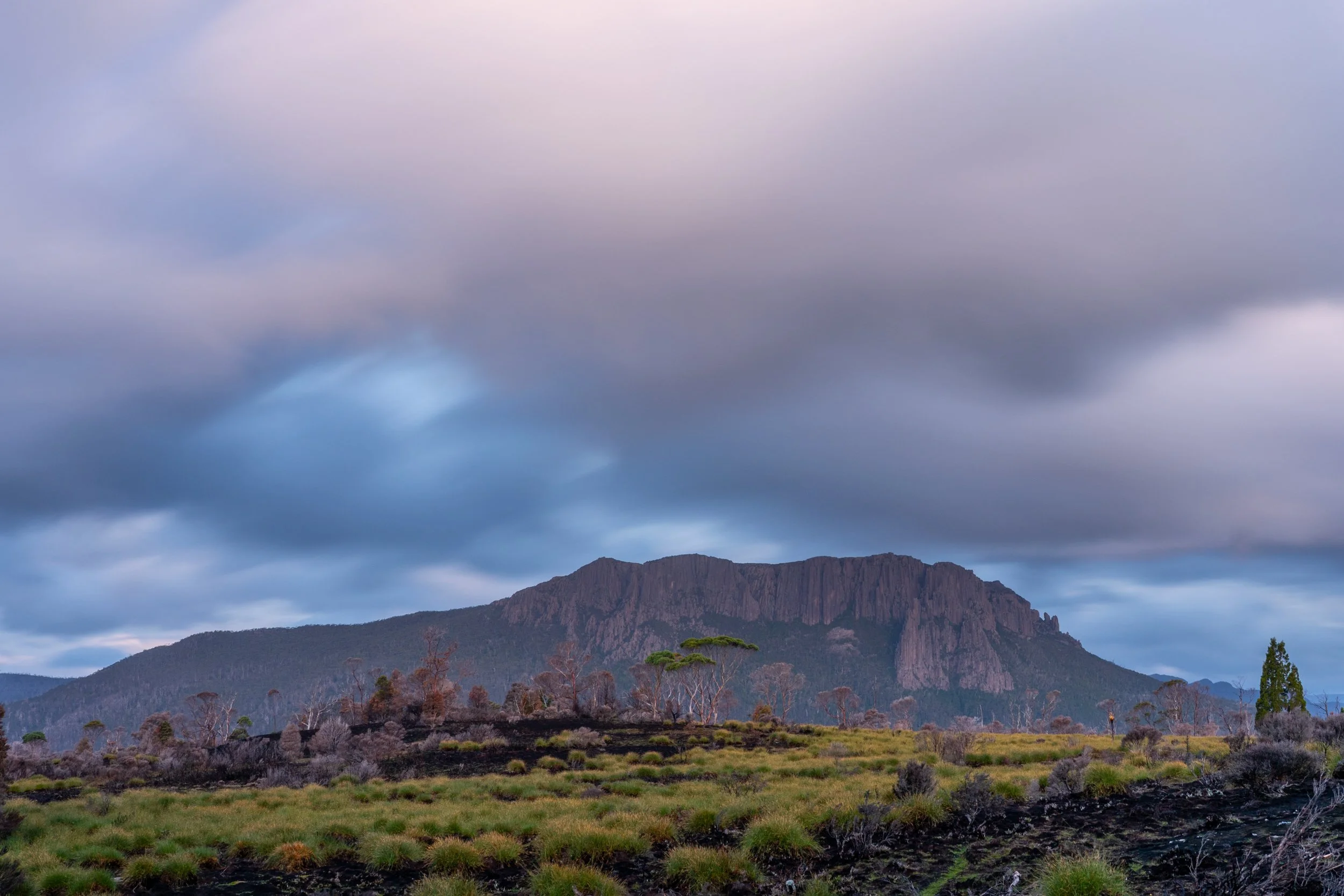
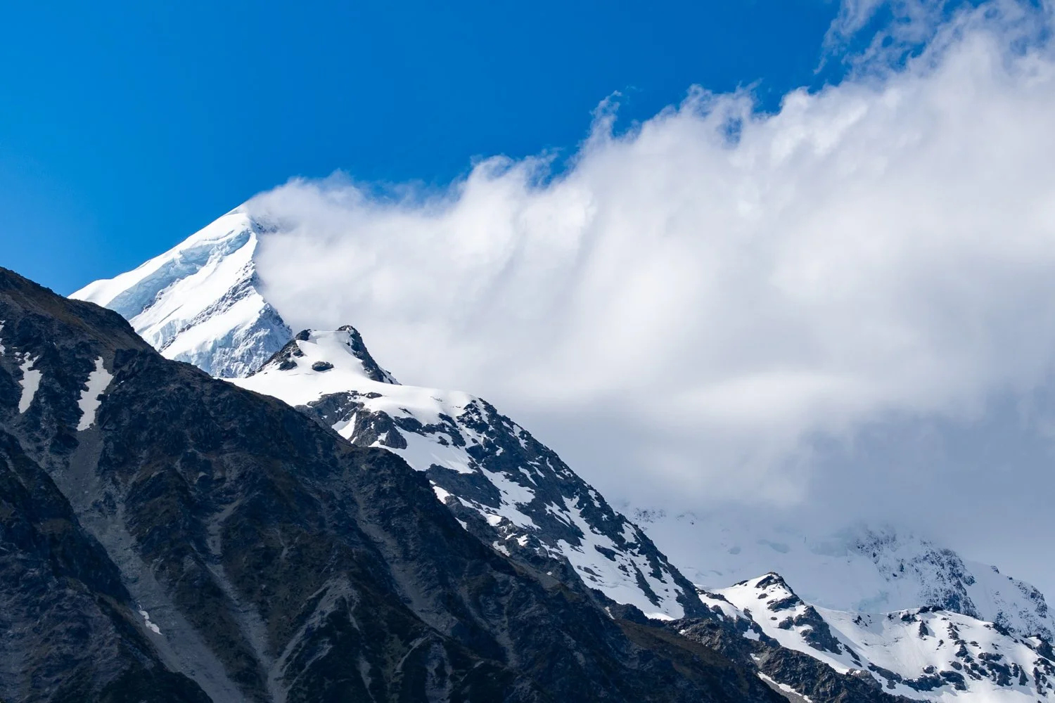
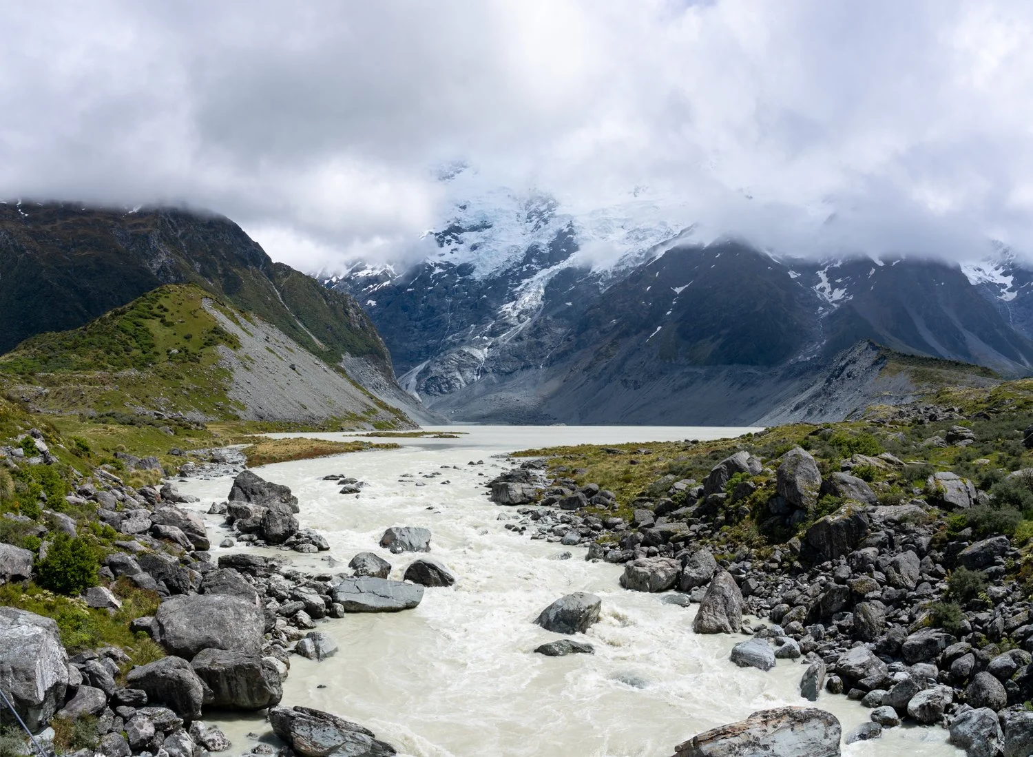
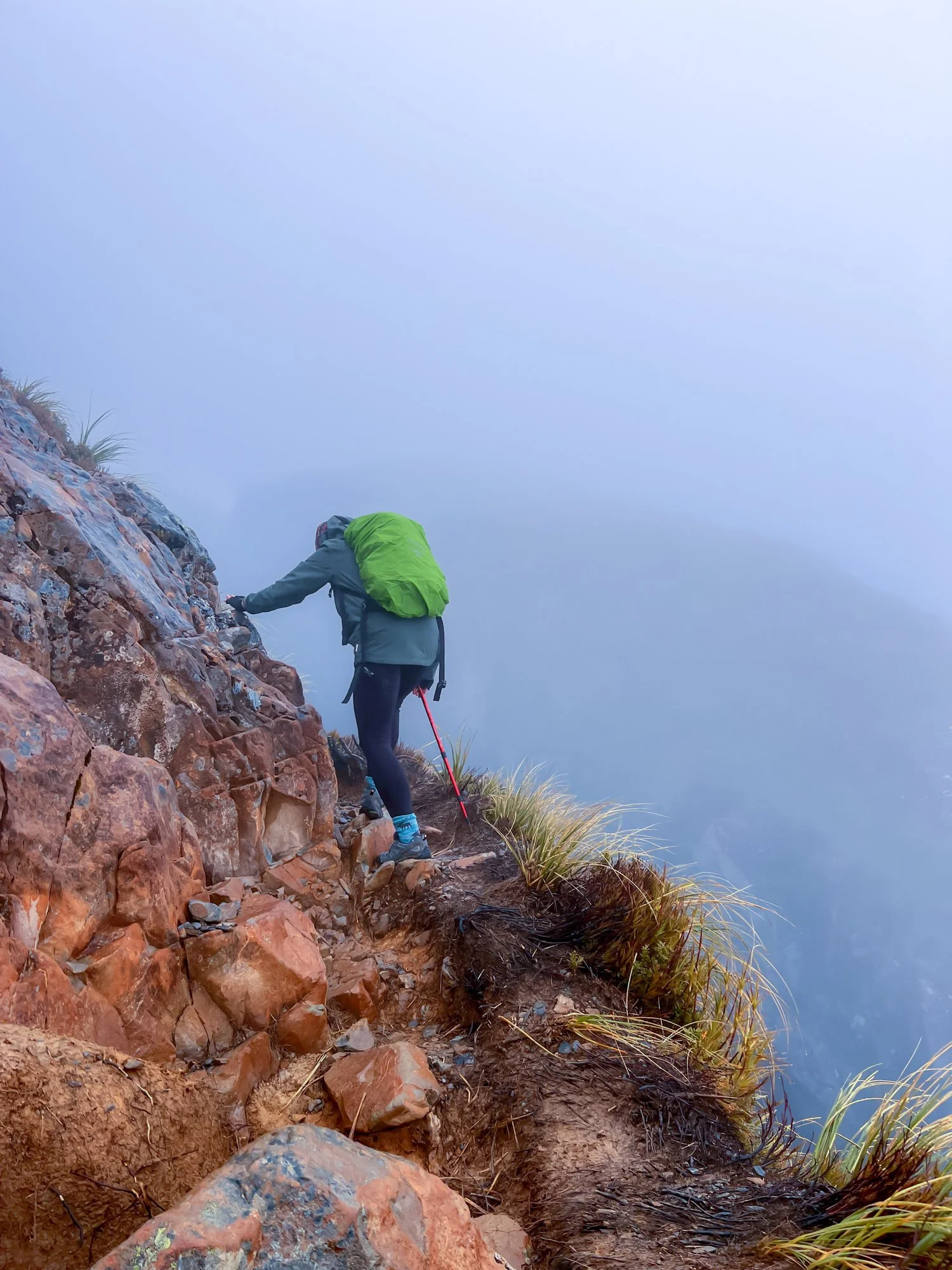
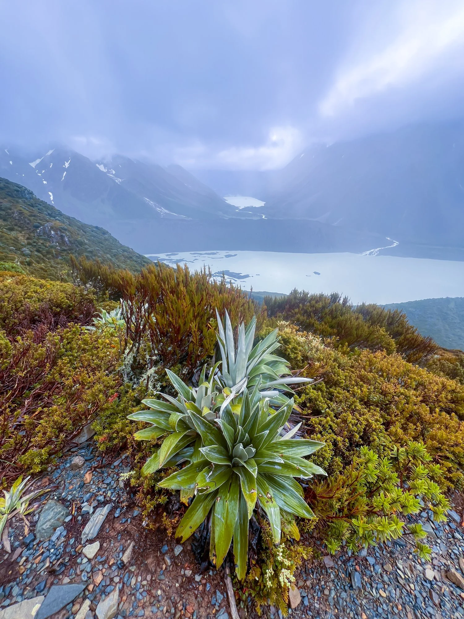
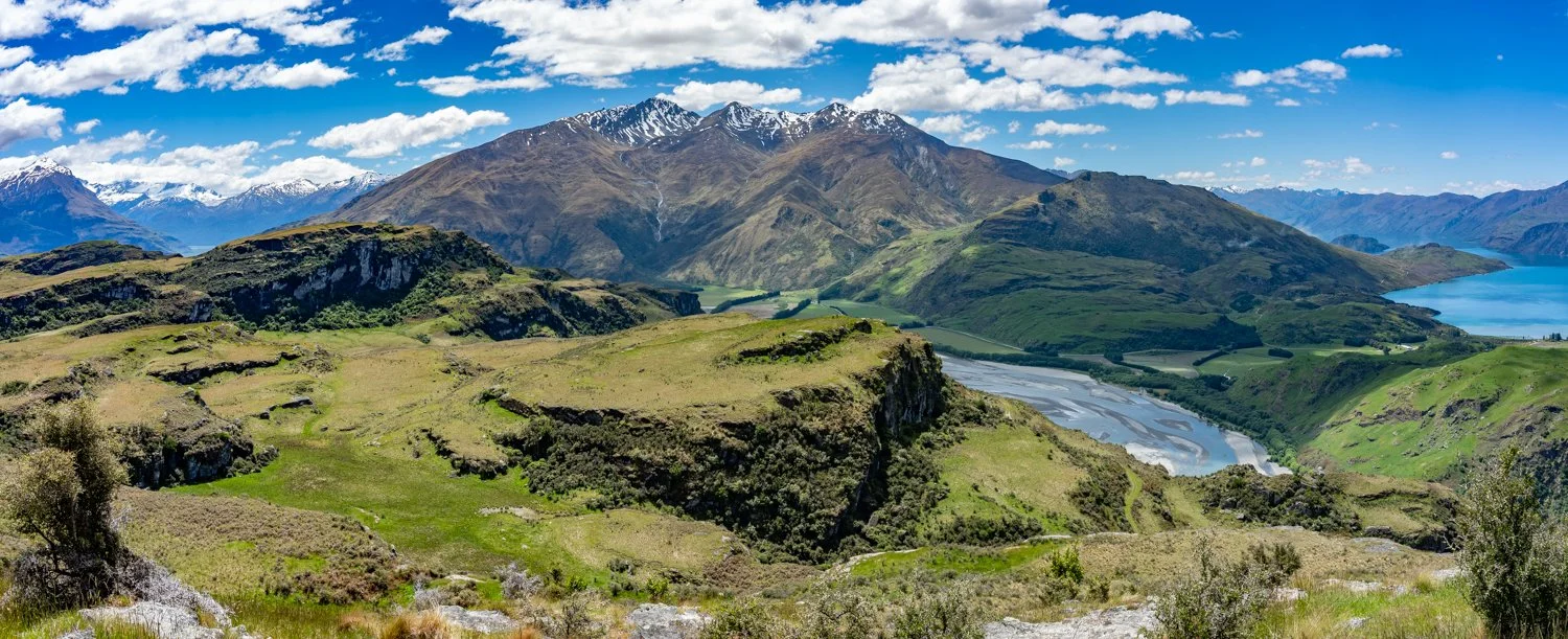
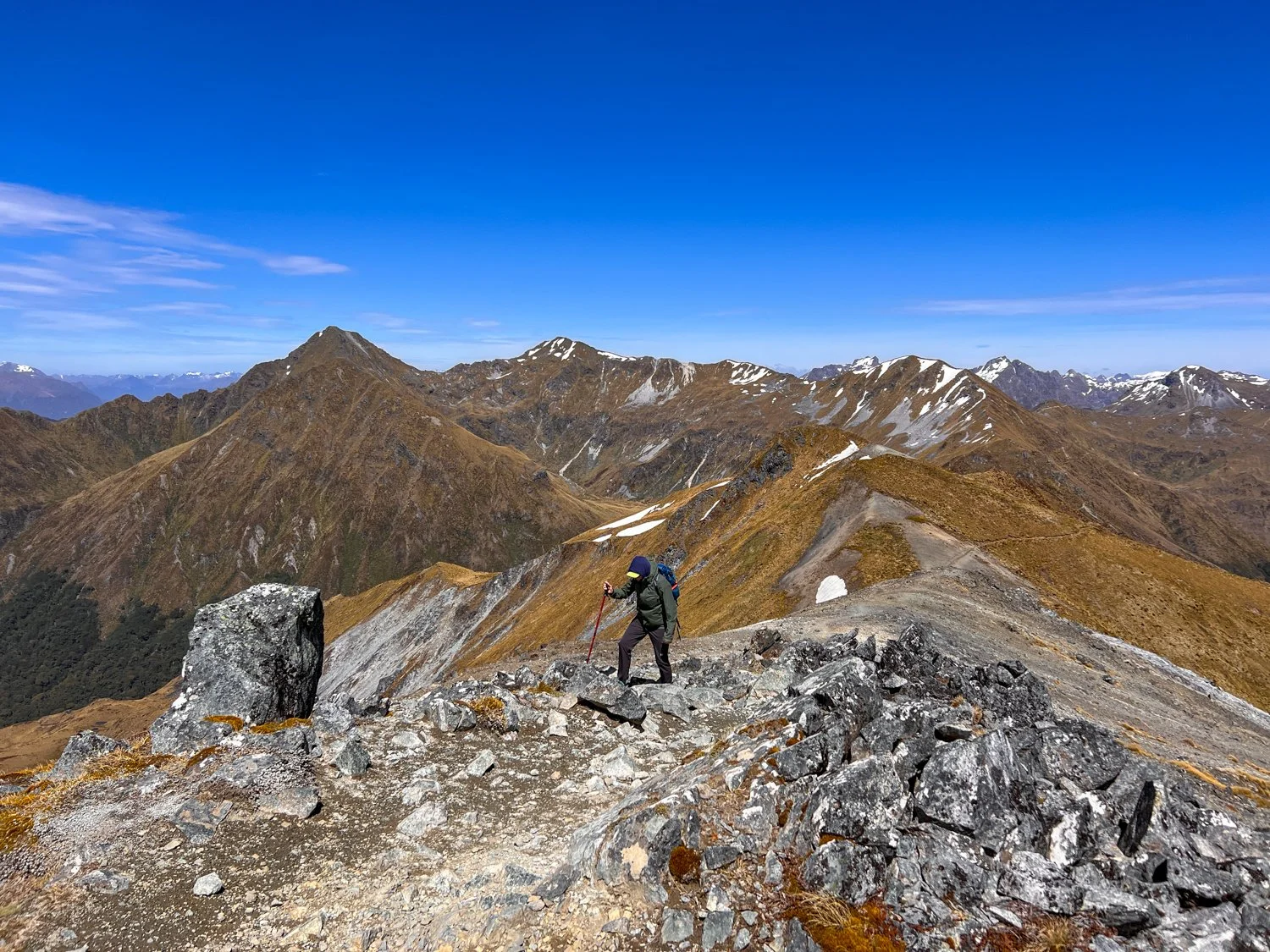
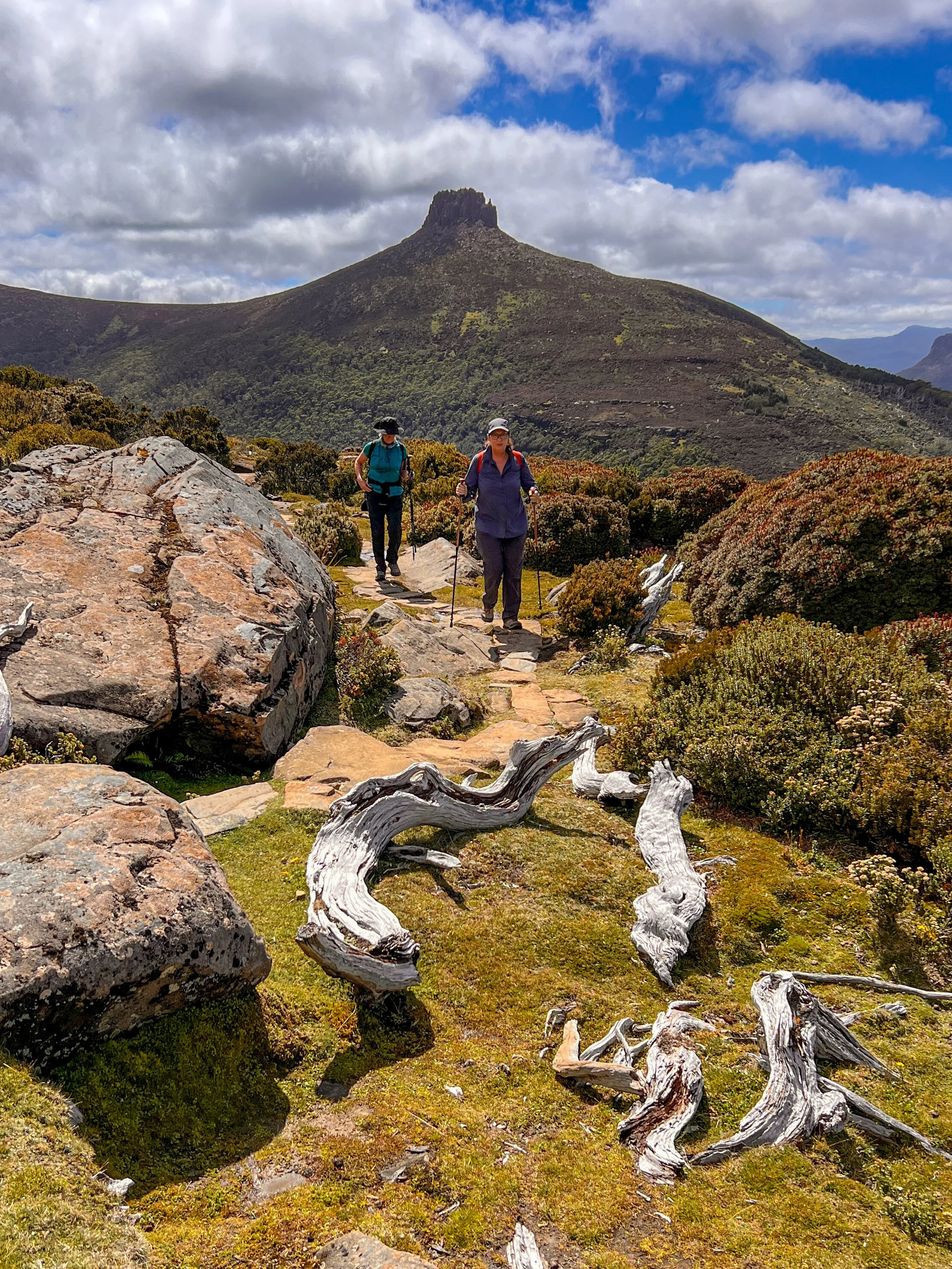
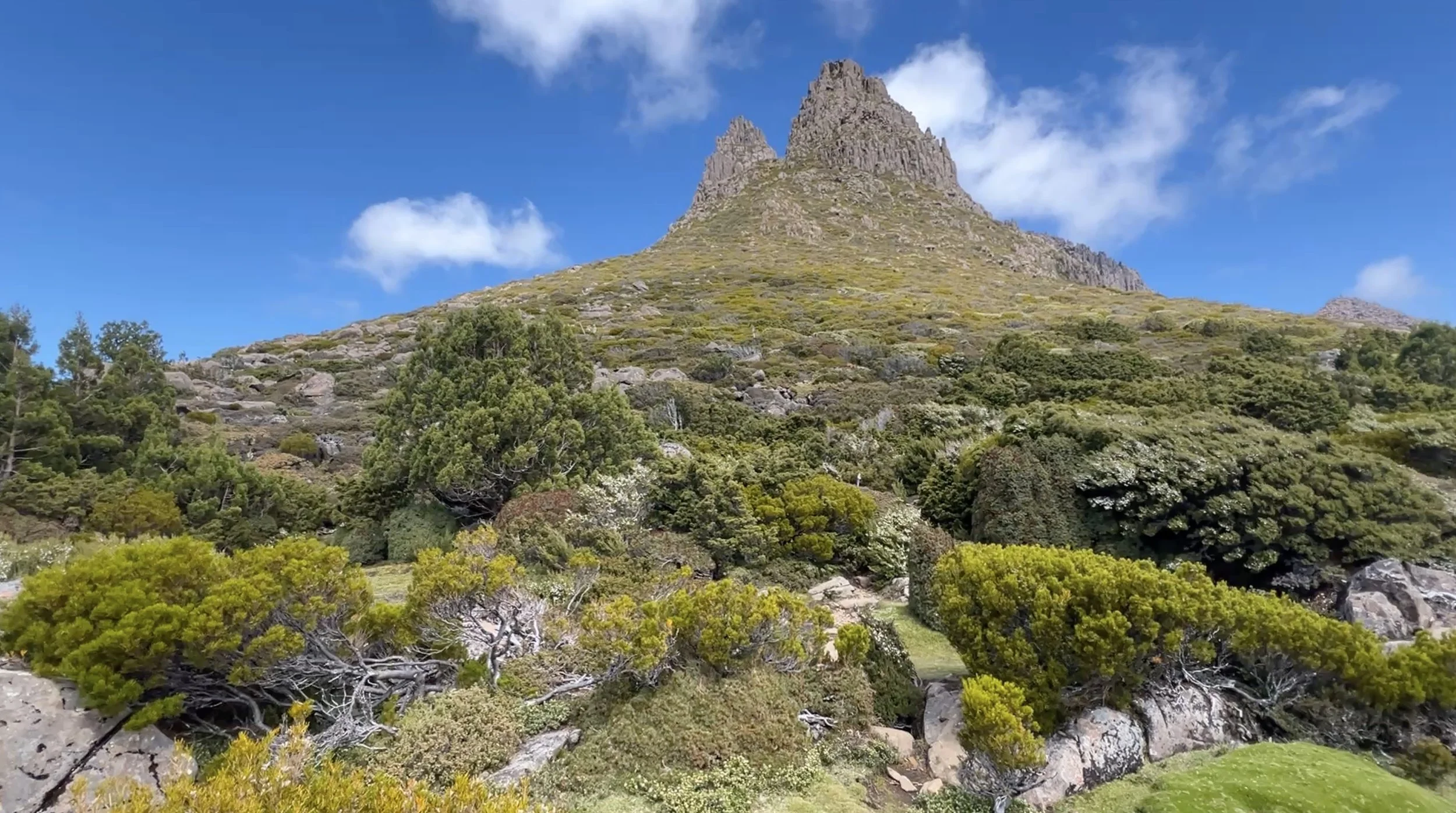
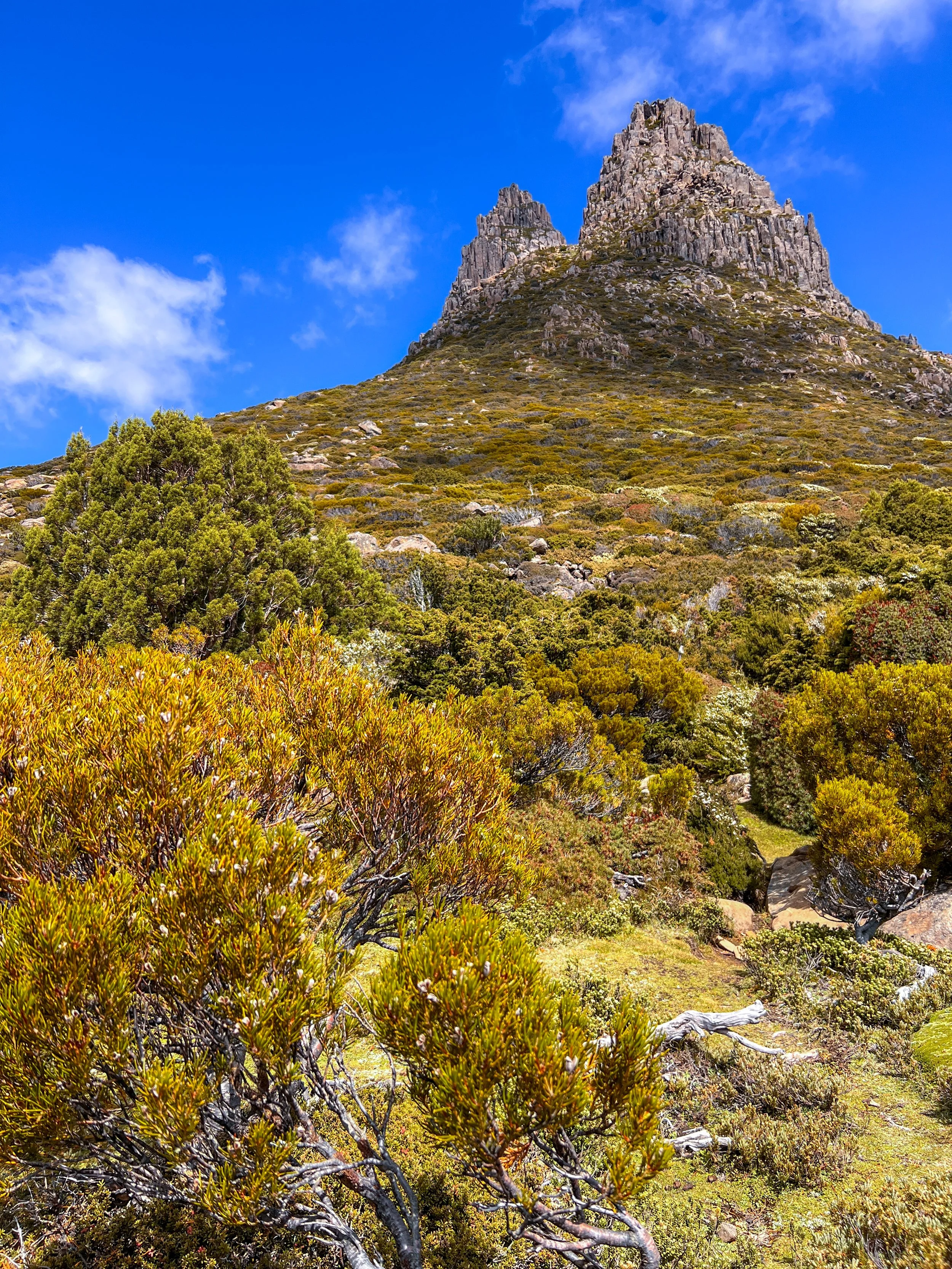
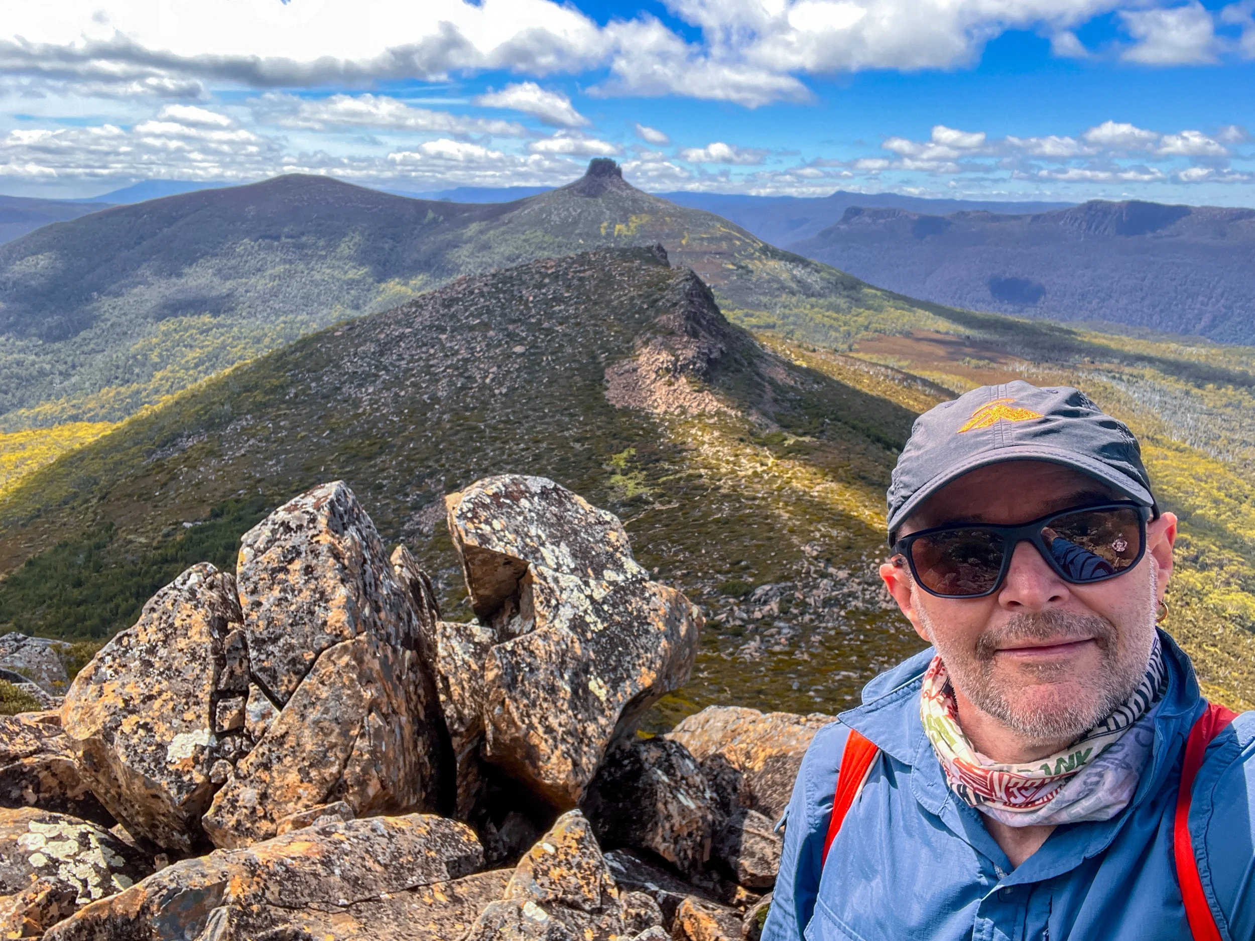
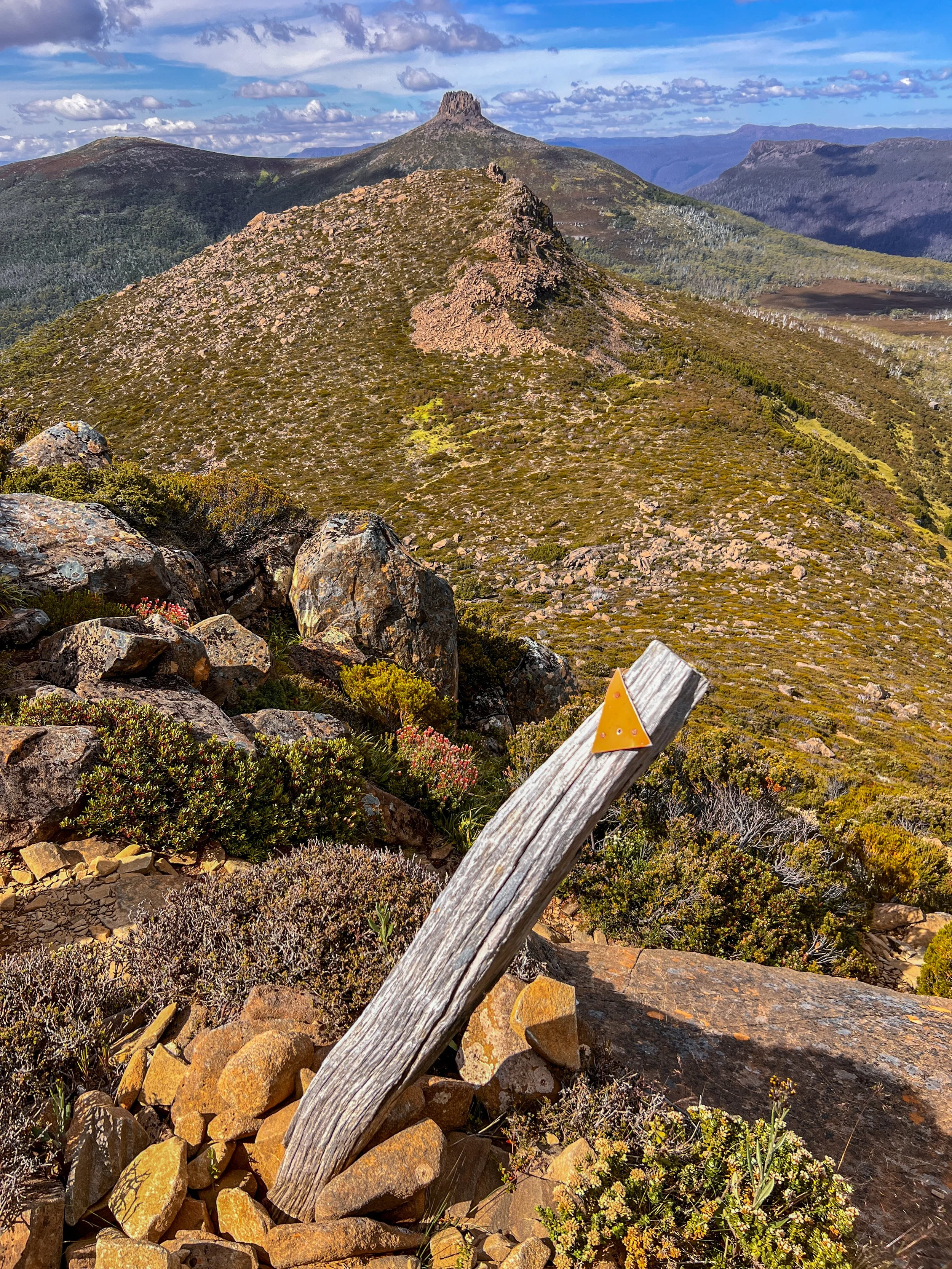
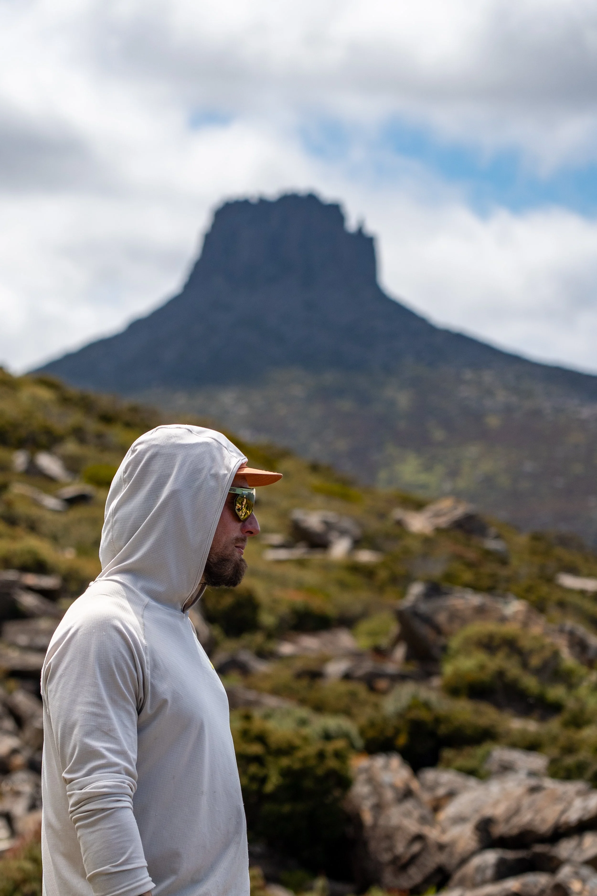
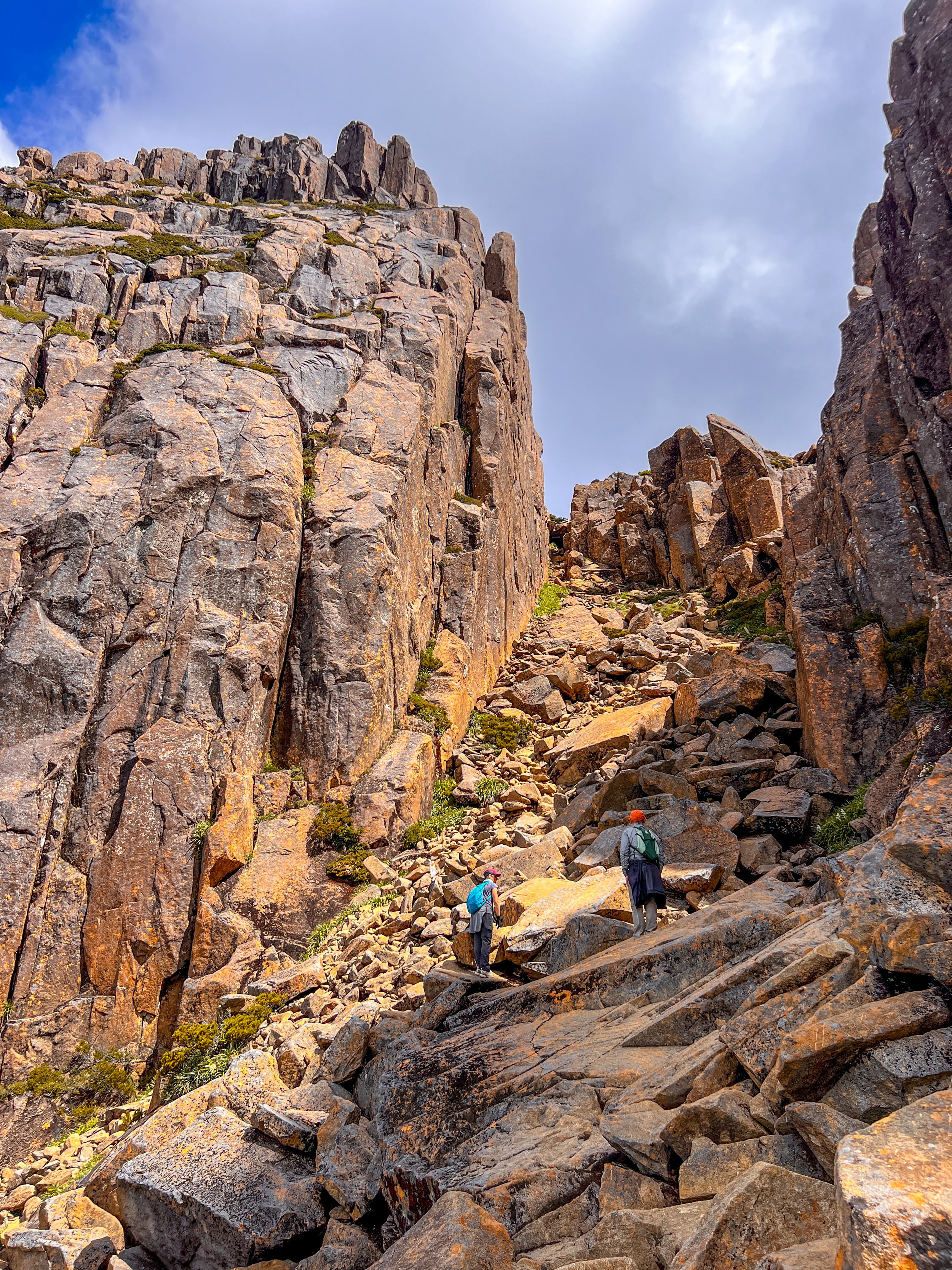
Climbing higher once more, we round the western shoulder of Mount Doris and finally catch our first proper glimpse of Mount Ossa looming ahead. The twin spires look convincingly like the summit. However, the true peak is still hidden beyond a sheer wall of rock which stand like enormous stone gateposts, guarding what lies beyond — and the only way forward was straight between them.
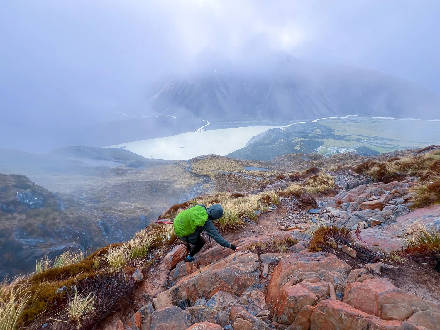
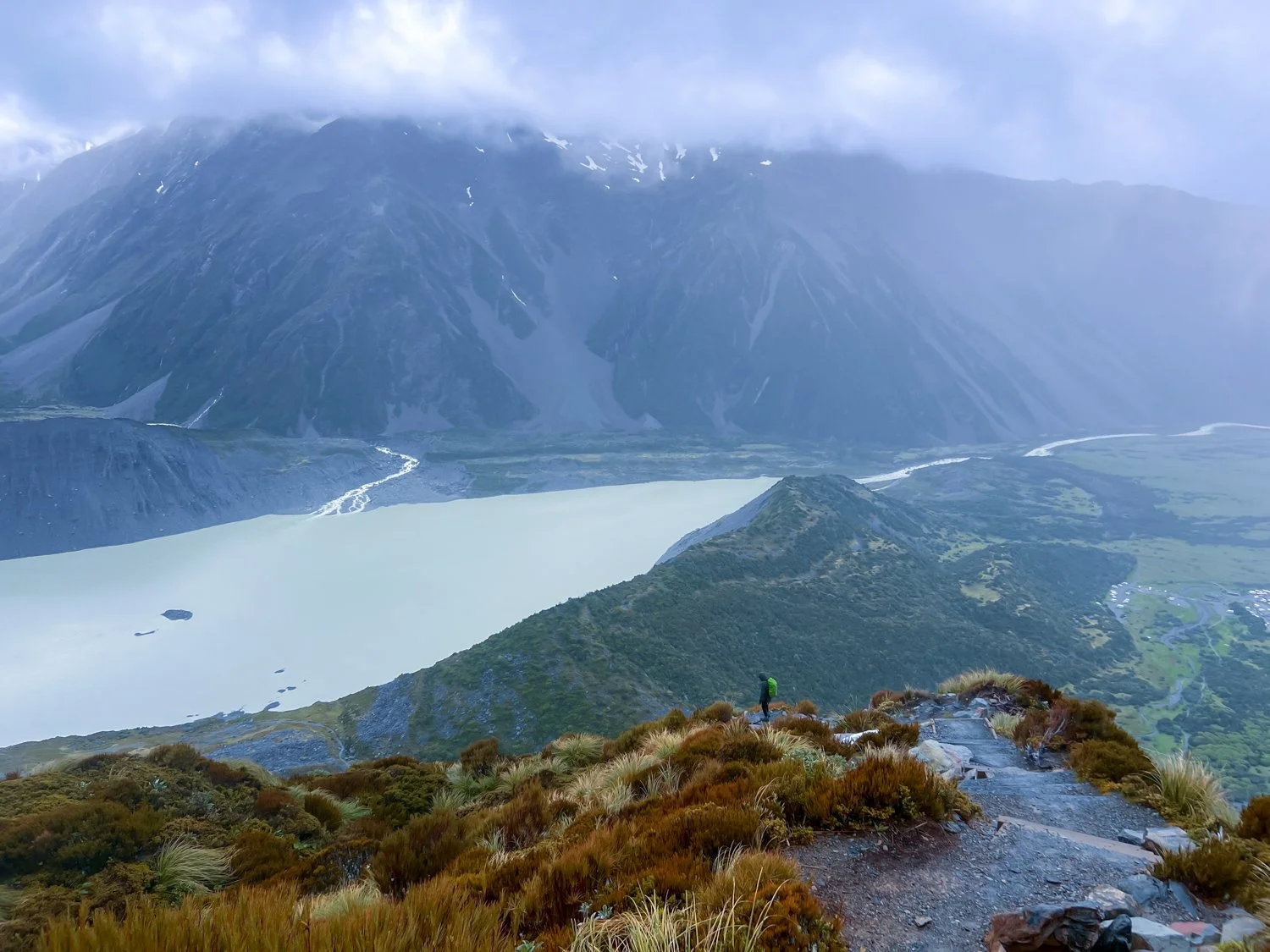
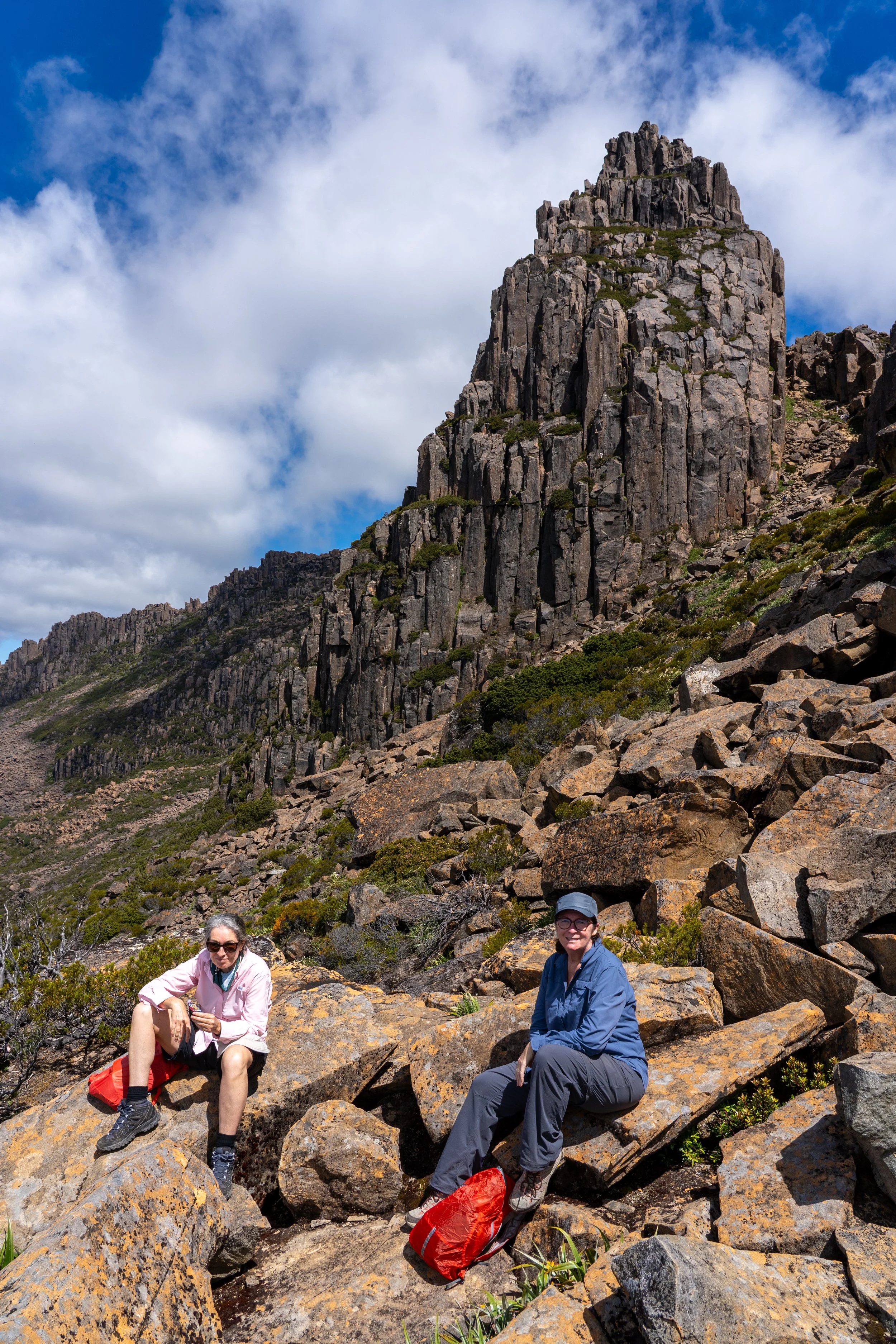
It was here that the hike officially became a climb. Confronted by steps that would make a StairMaster weep, we began hauling ourselves up the lower face one step at a time. With every lung-burning ascent, the views grow wider: the hulking bulk of Mount Massif (appropriately named) to the south, while the ever present Mount Pelion East keeps a watch behind us.
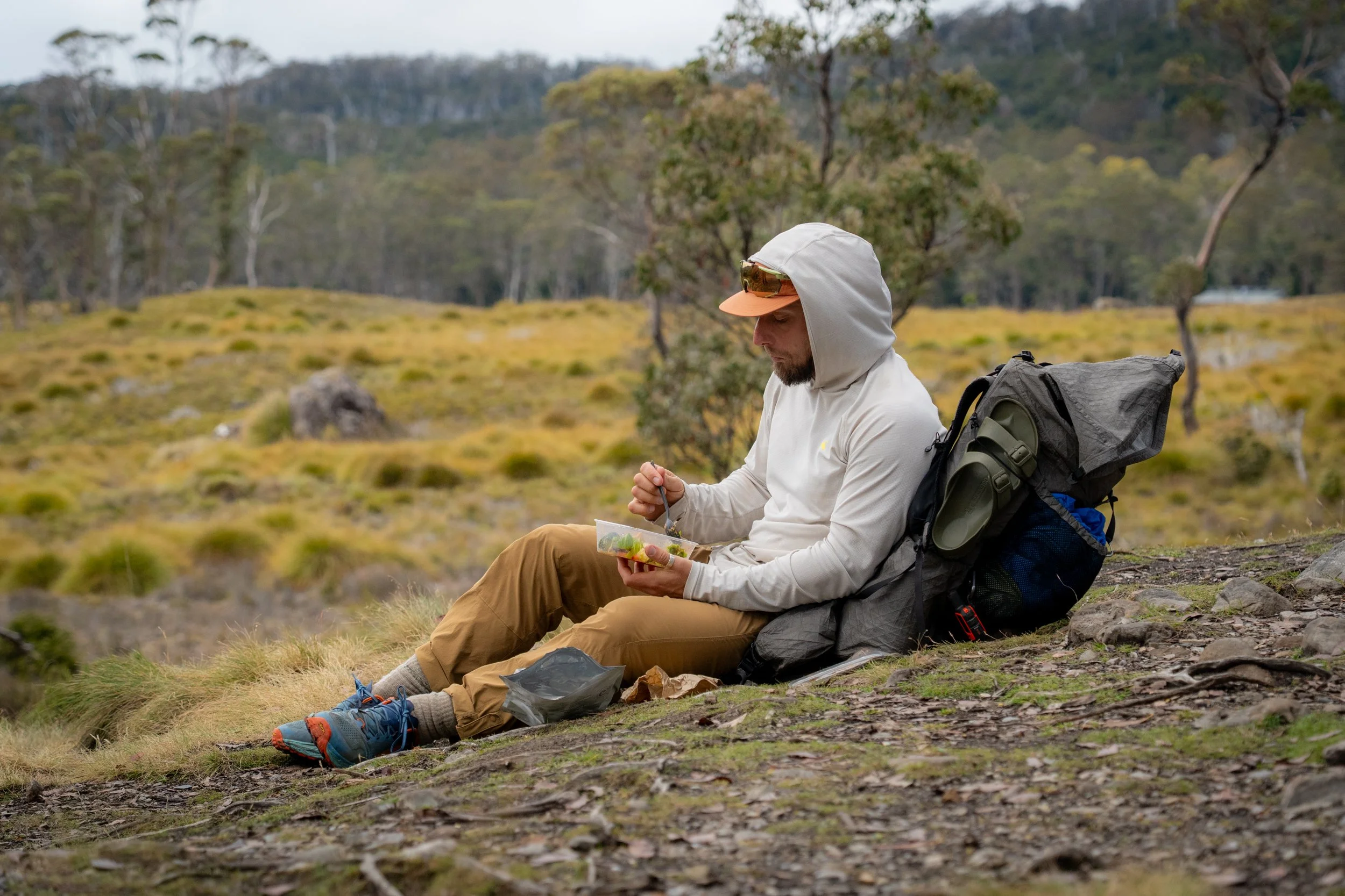
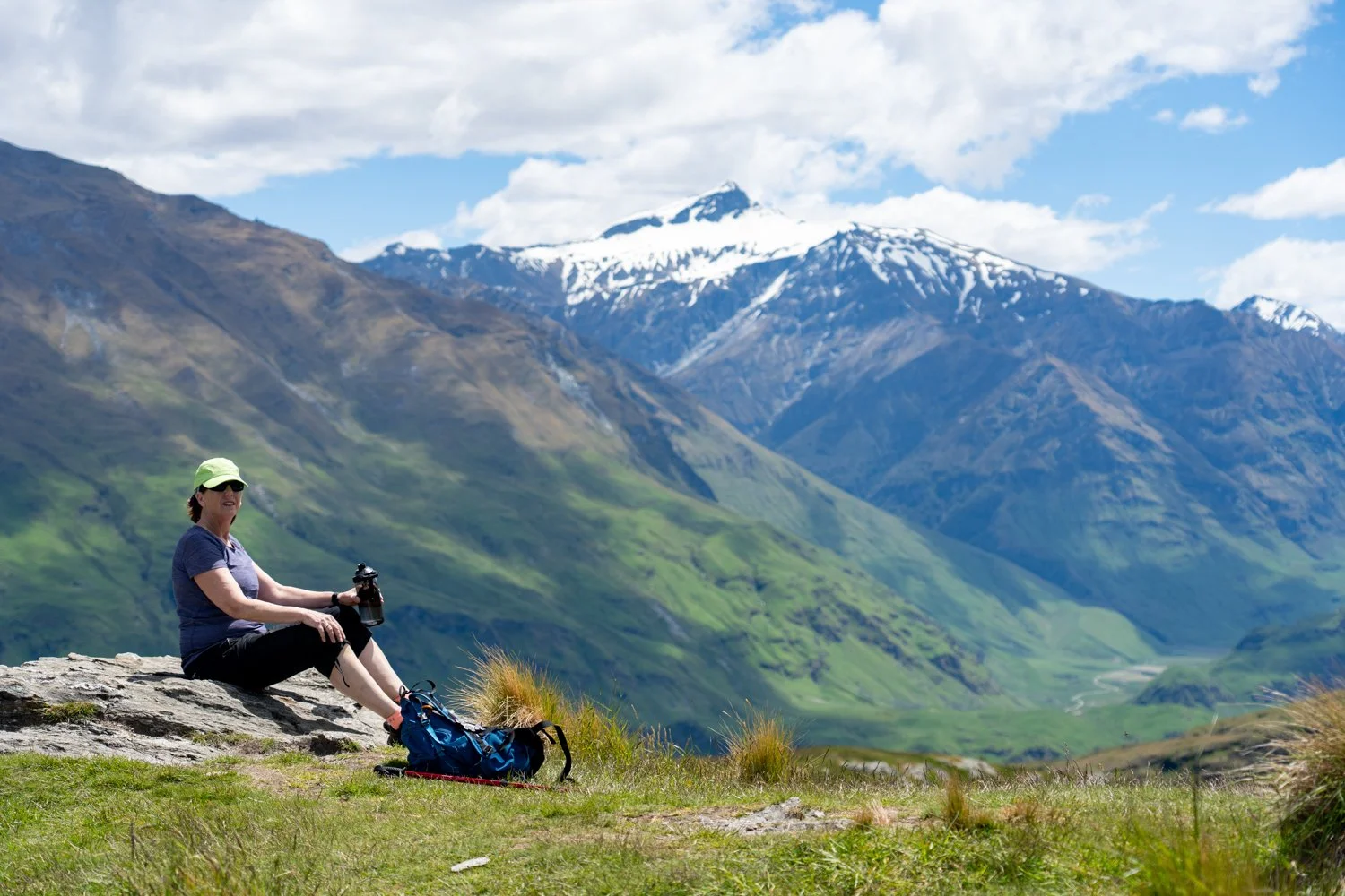
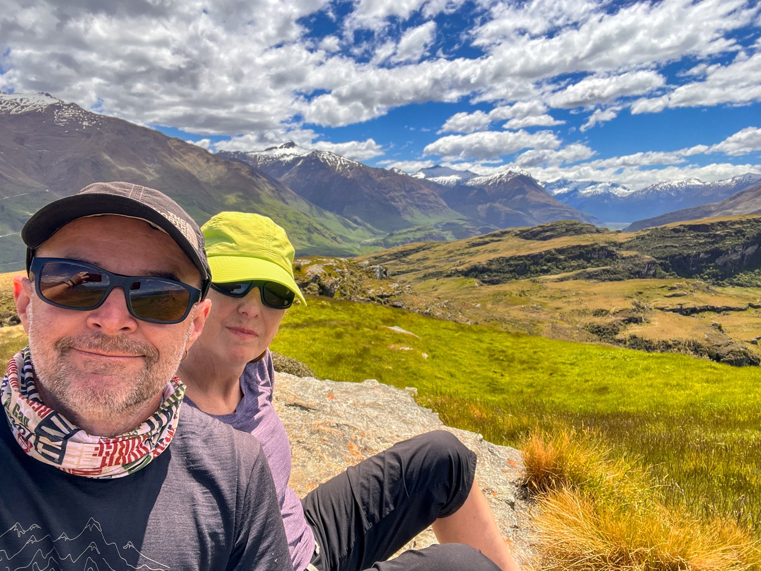
With our legs rapidly dissolving into jelly, we unanimously declare it a perfect moment for lunch. While our guide attempts what looks suspiciously like the early stages of arson (wrestling a kerosene stove to provide a cup of coffee), the rest of us perch on the edge of the world, dangling our feet - not over the edge Kathy - and feast on scenery to die for.
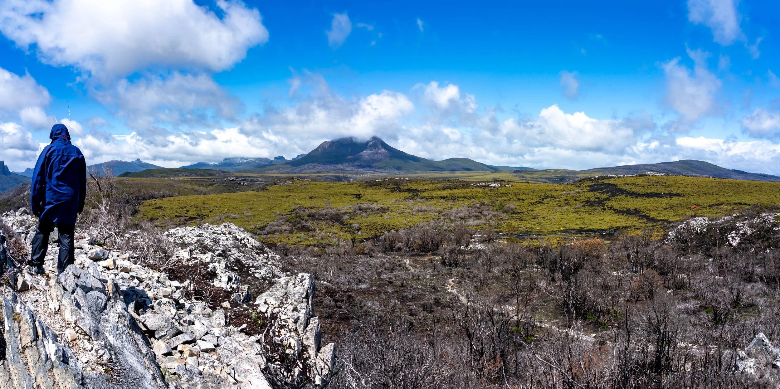
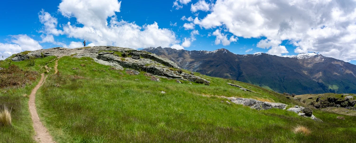
Can you see John in the bottom left corner?
With bellies full we turn our mind to the final push up Mount Ossa. Looking up, several people immediately point at the twin peaks and the narrow, near-vertical gully between them and ask, with great sincerity, “We’re not going up that, are we?”
……We were.
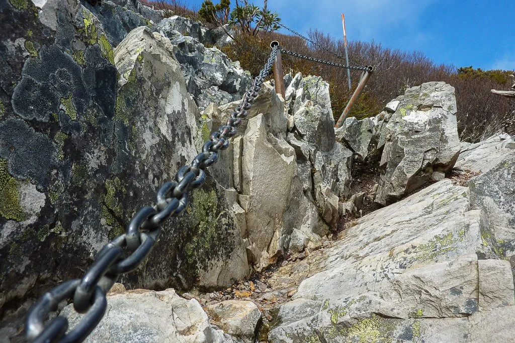
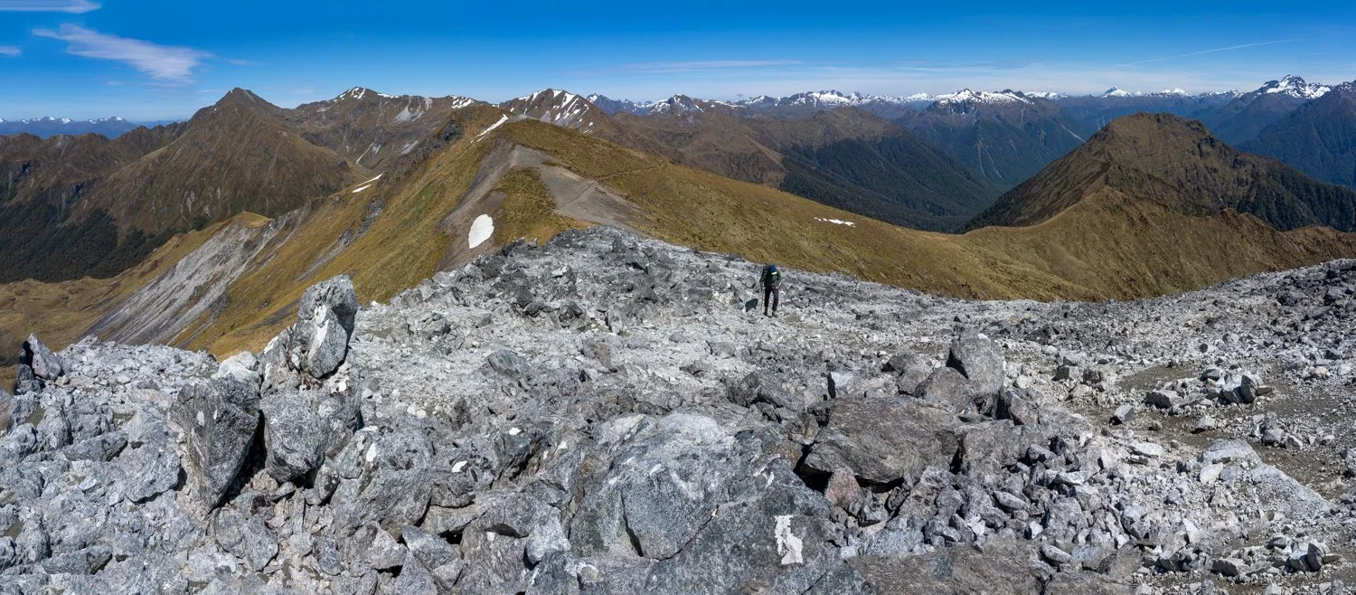
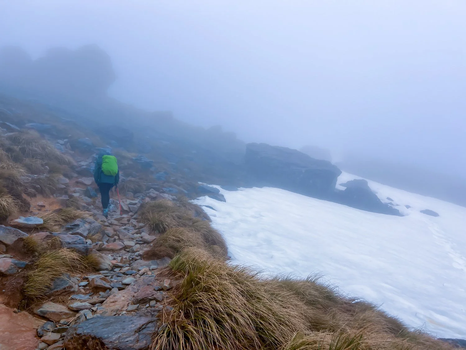
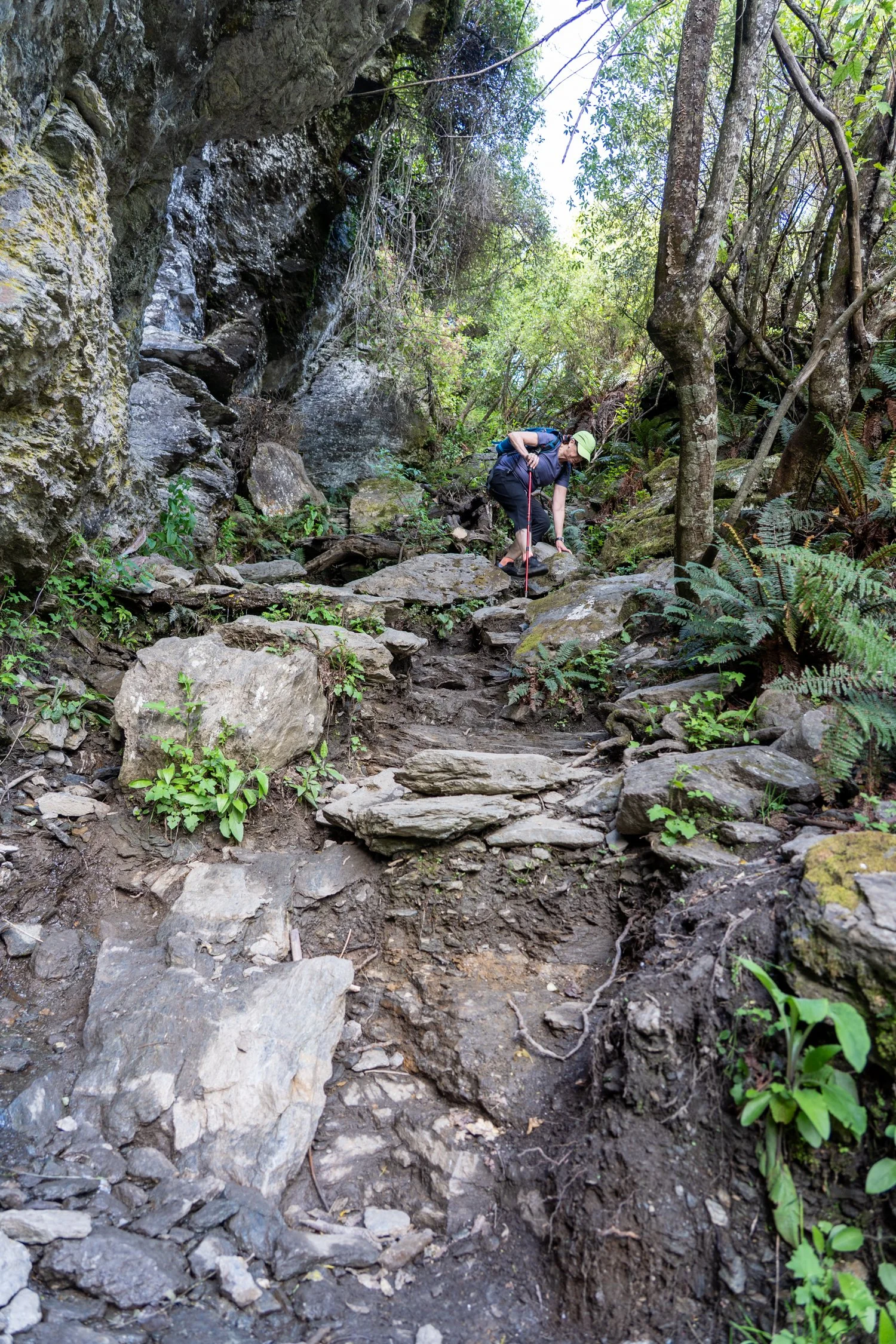
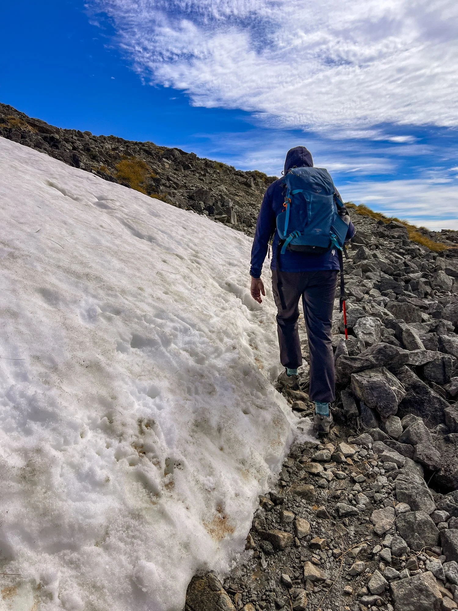
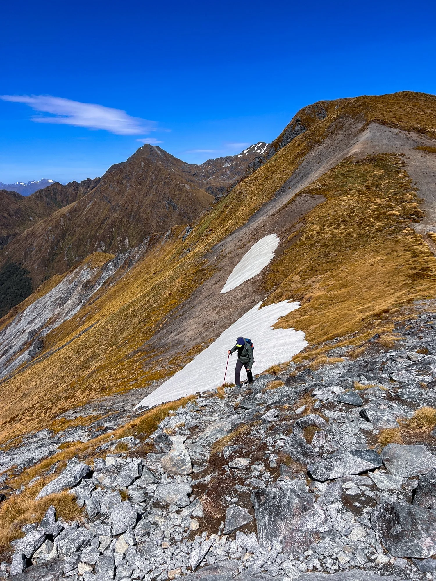
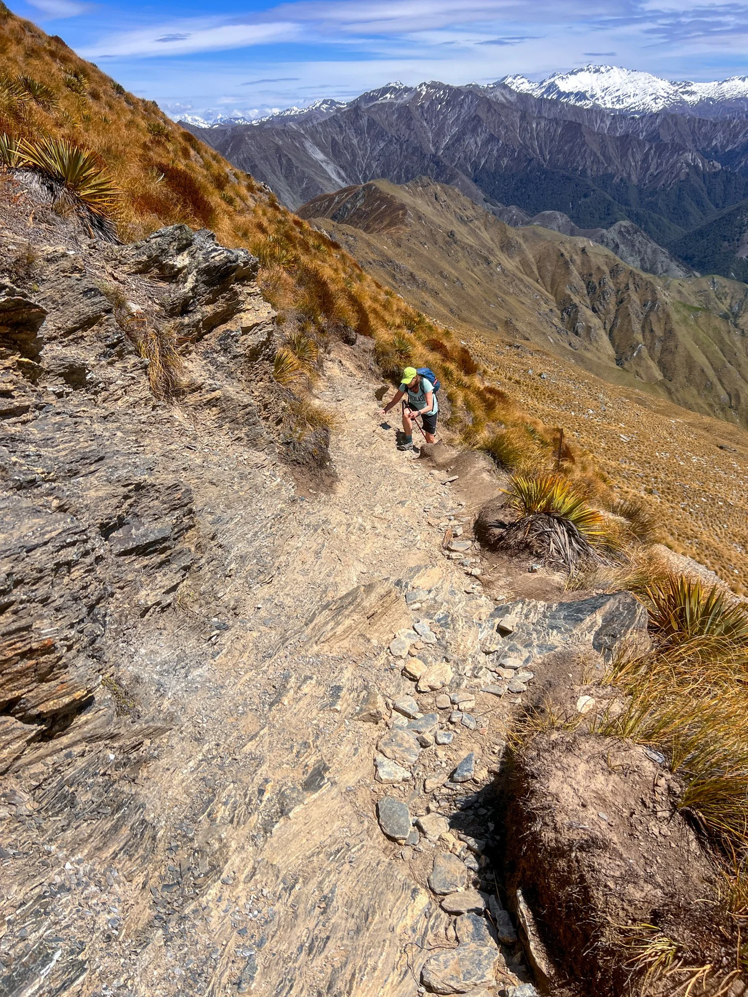
Despite the concern (and fear of heights from one of our party) we push on up the slot canyon. Here, the climb now officially turns into scrambling, which then turns into something suspiciously resembling rock climbing. We pick our way through the boulder field, occasionally hauling one another up the bigger steps like a human chain.
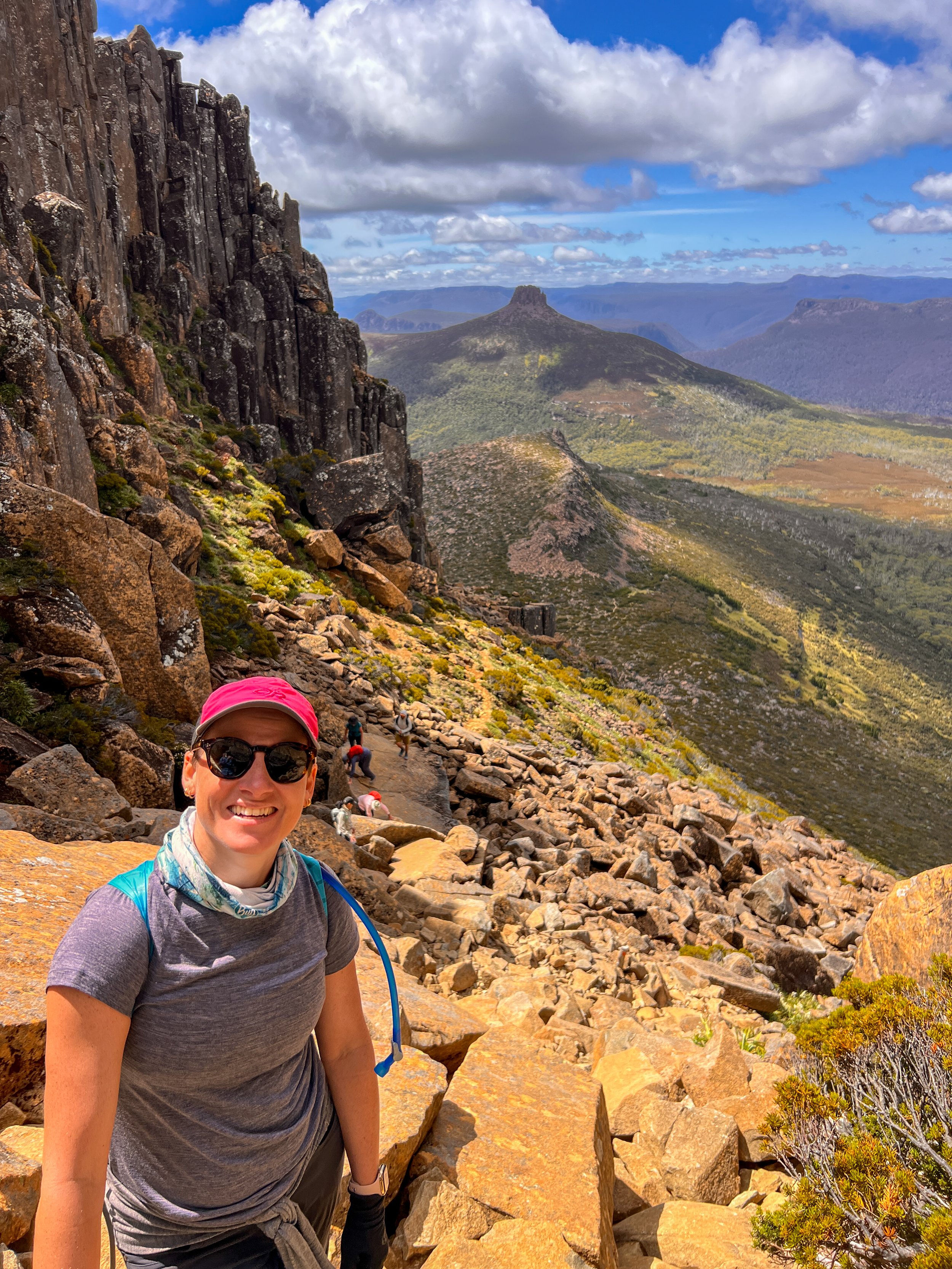

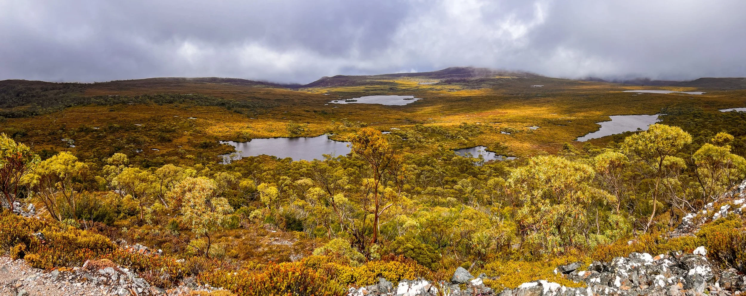
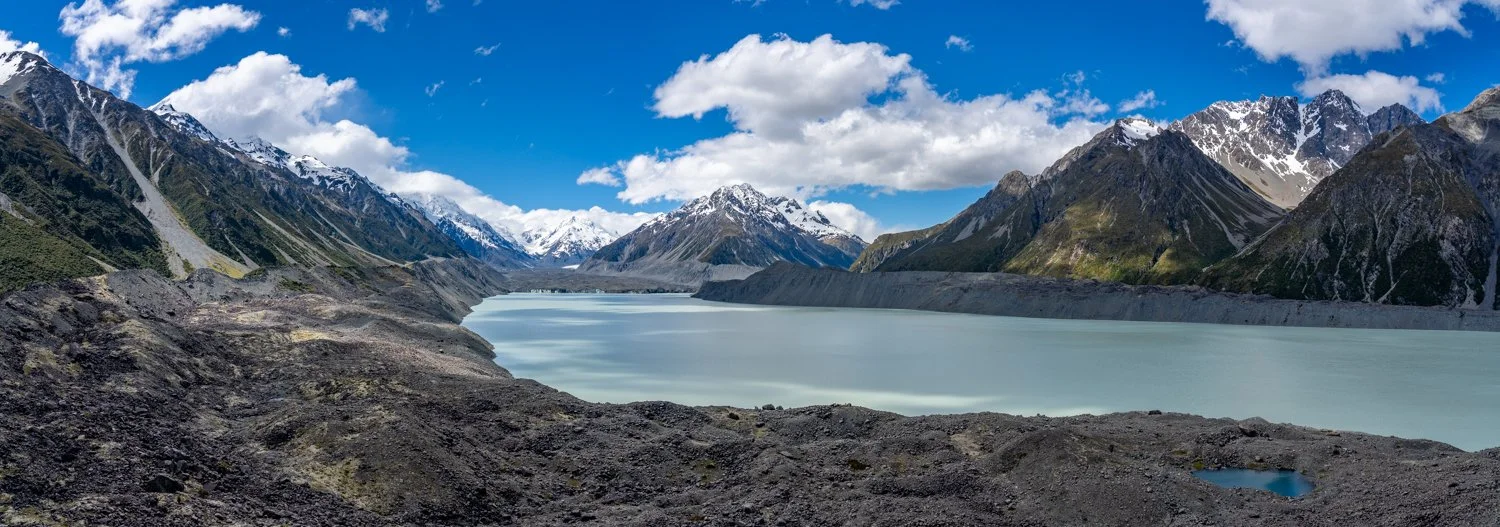
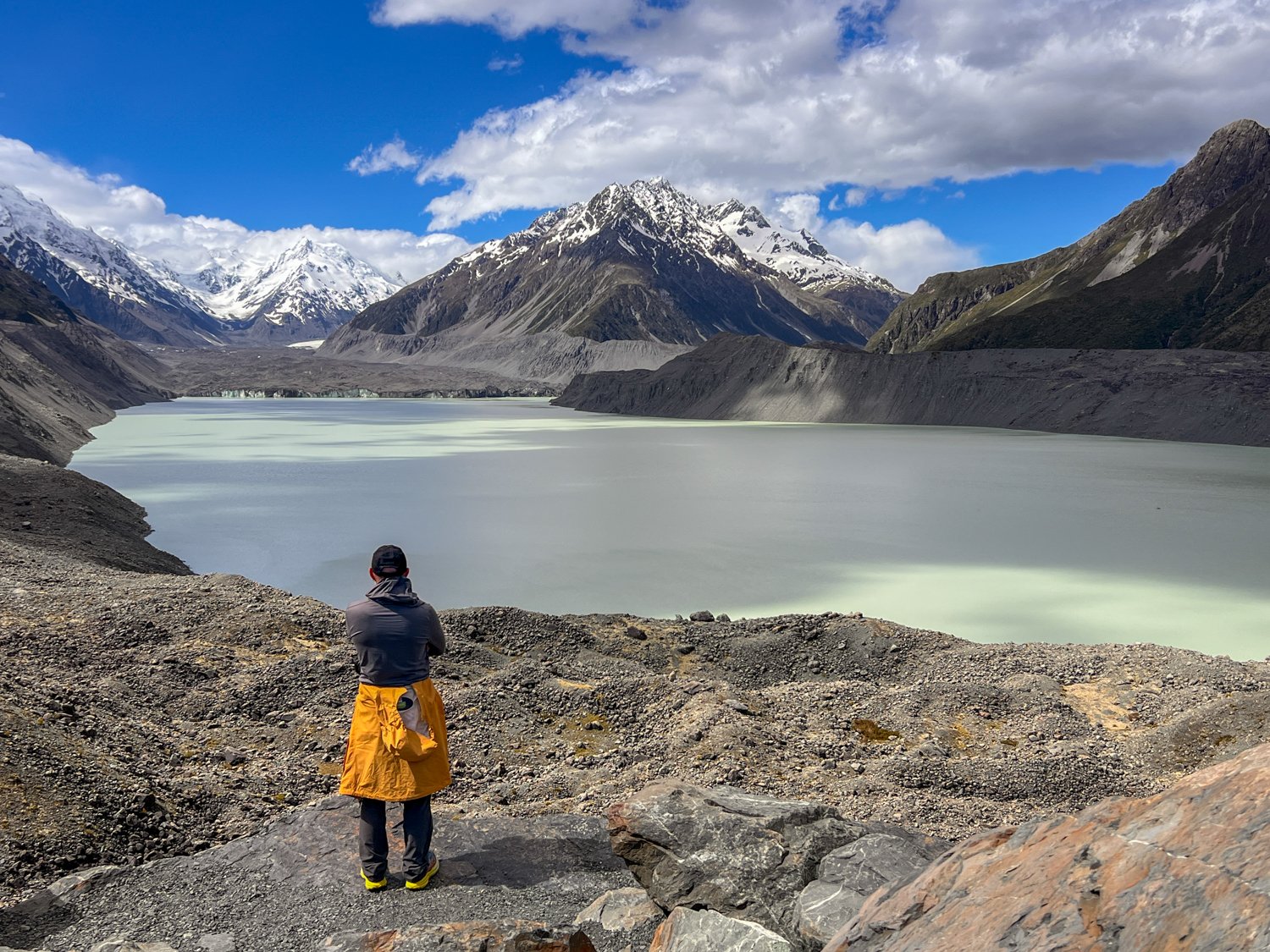
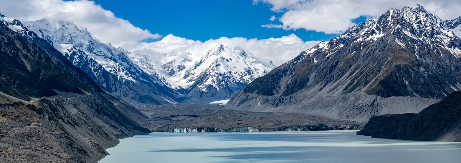
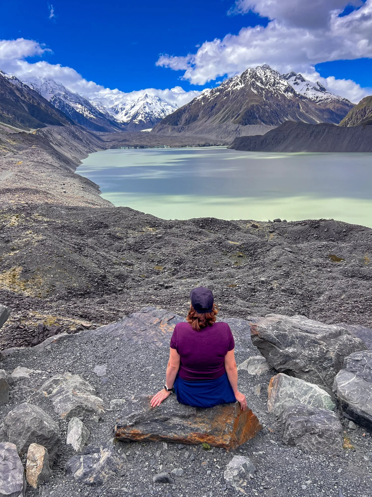
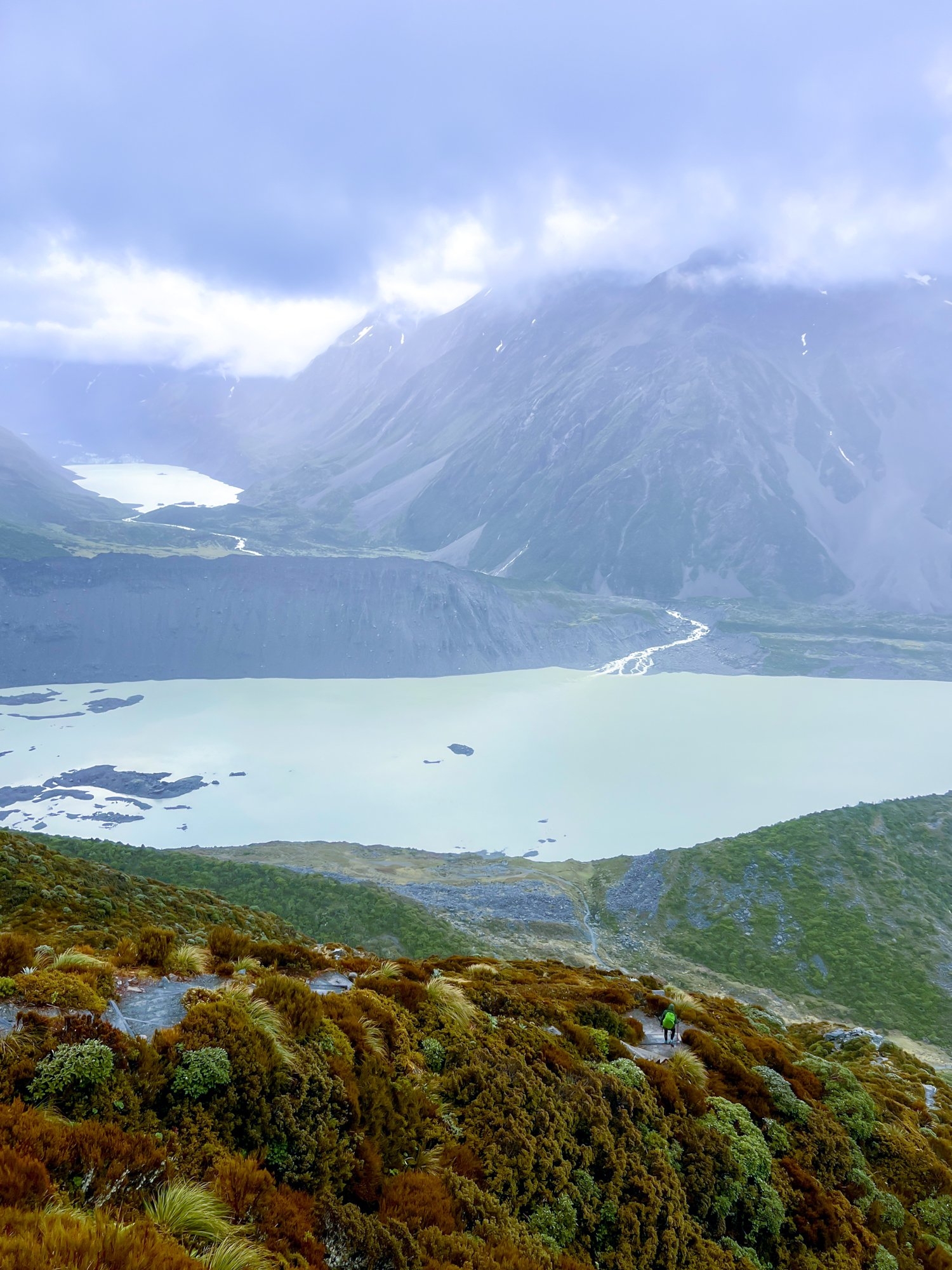
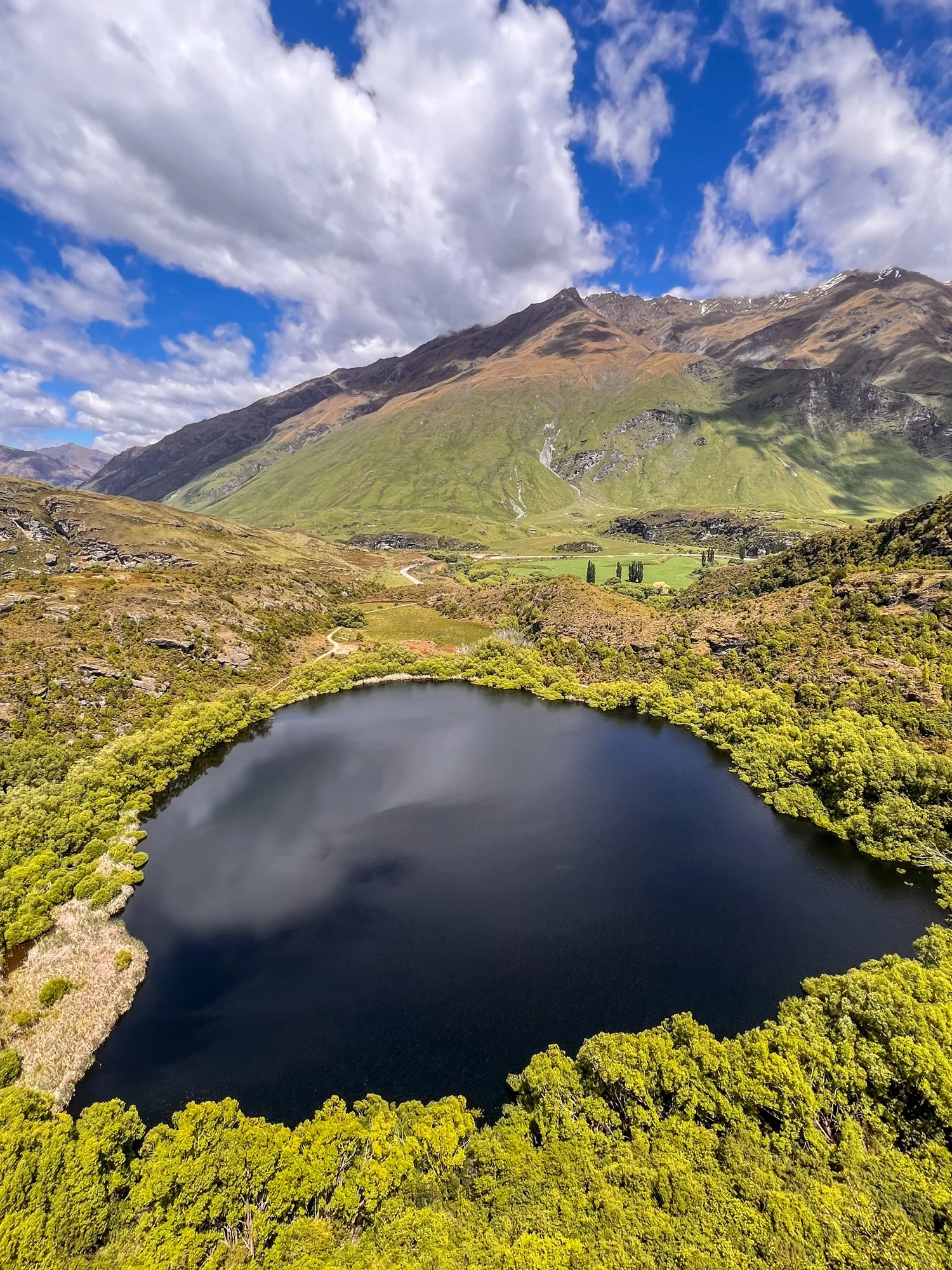
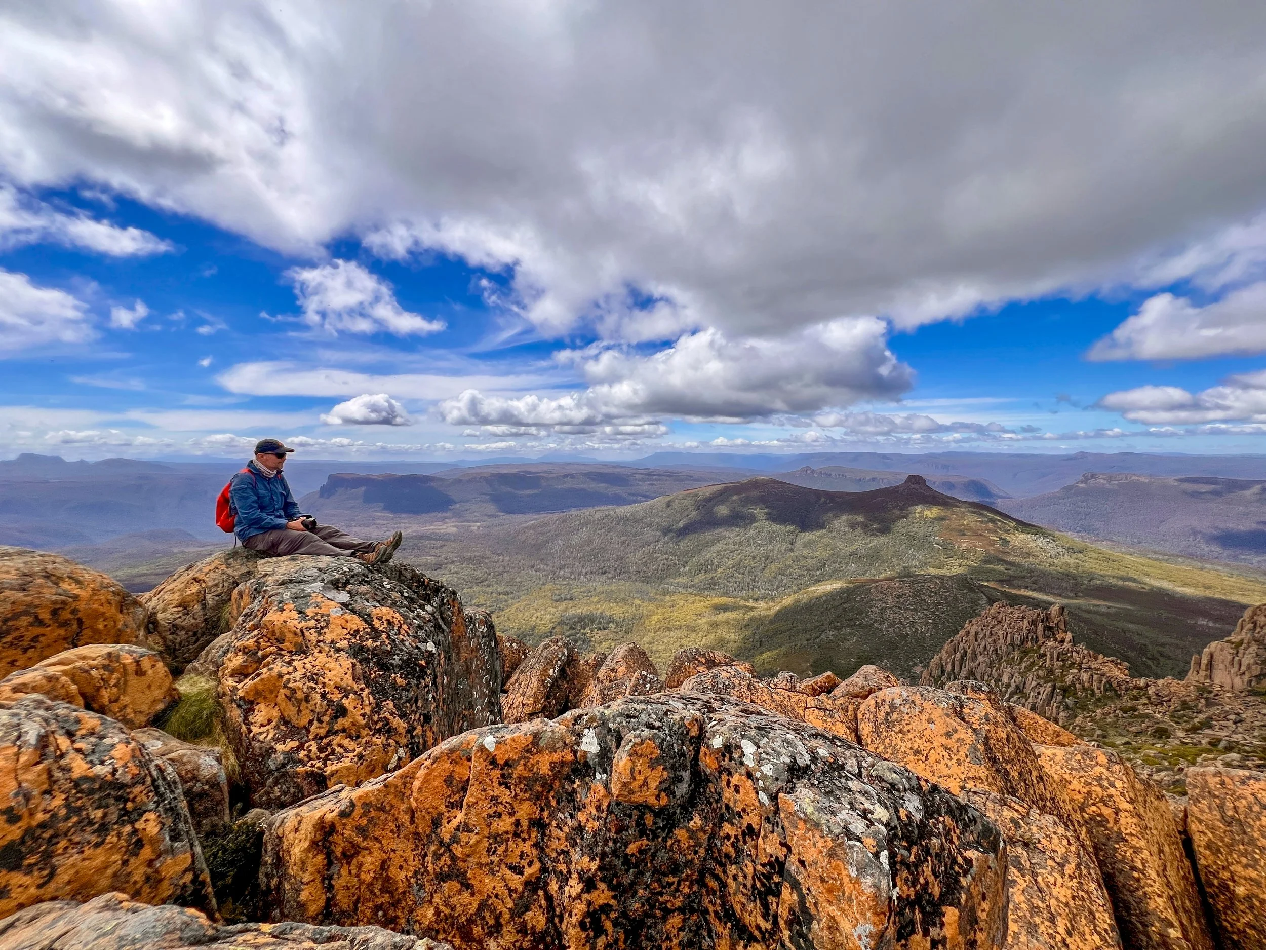
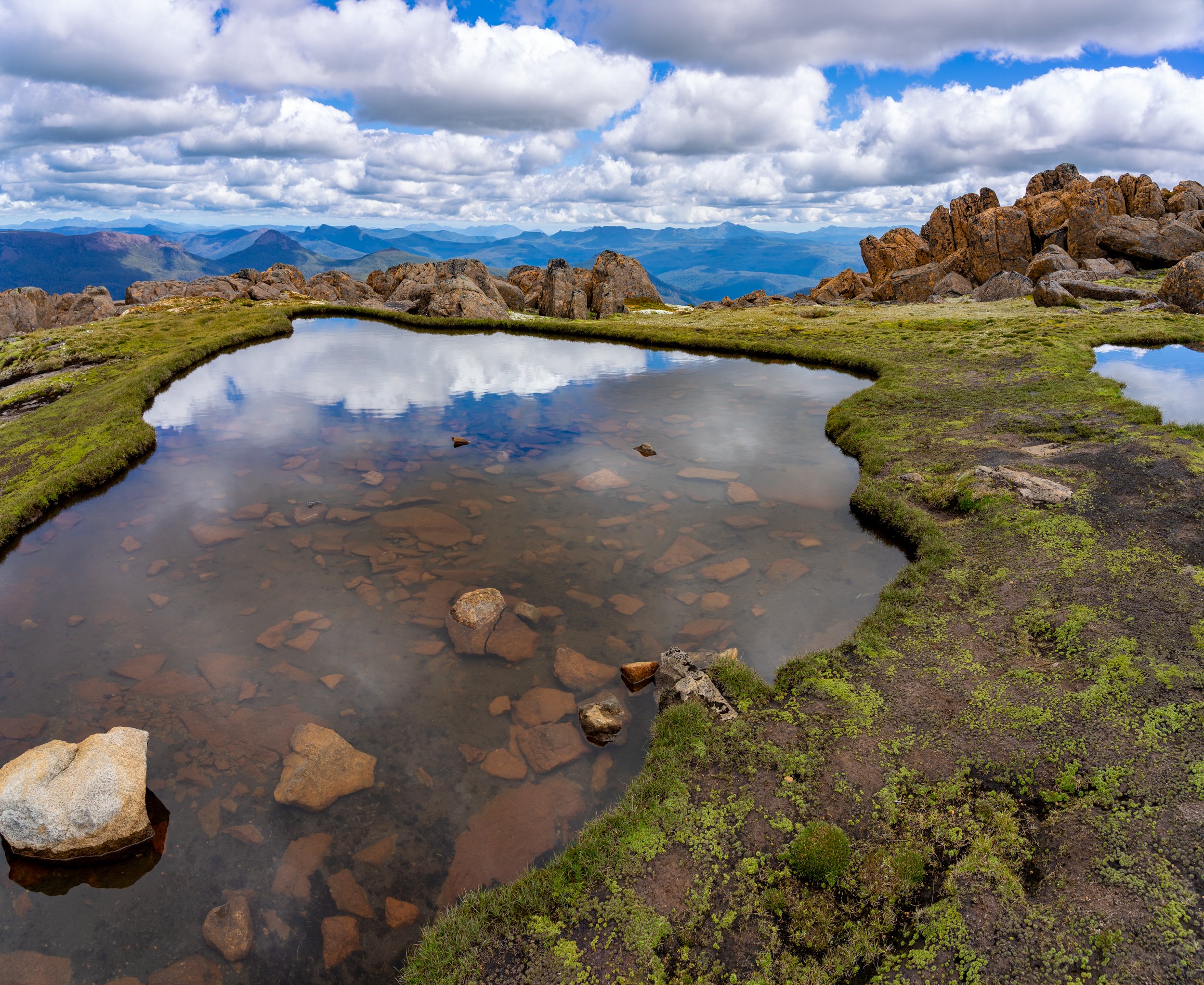
After clinging and scrambling our way through the narrow rock channel, it is only a final, determined push to reach the upper plateau — a moment greeted with collective relief that no one had tumbled dramatically off the side of the mountain. The terrain suddenly softens and widens, and just ahead something glints strangely in the sunlight. For a brief second it looks like a giant mirror laid across the ground, reflecting clouds and rock in perfect symmetry. Up close, it reveals itself as a tarn: a small, glassy mountain pool cradled in a hollow scooped out by ancient glaciers.
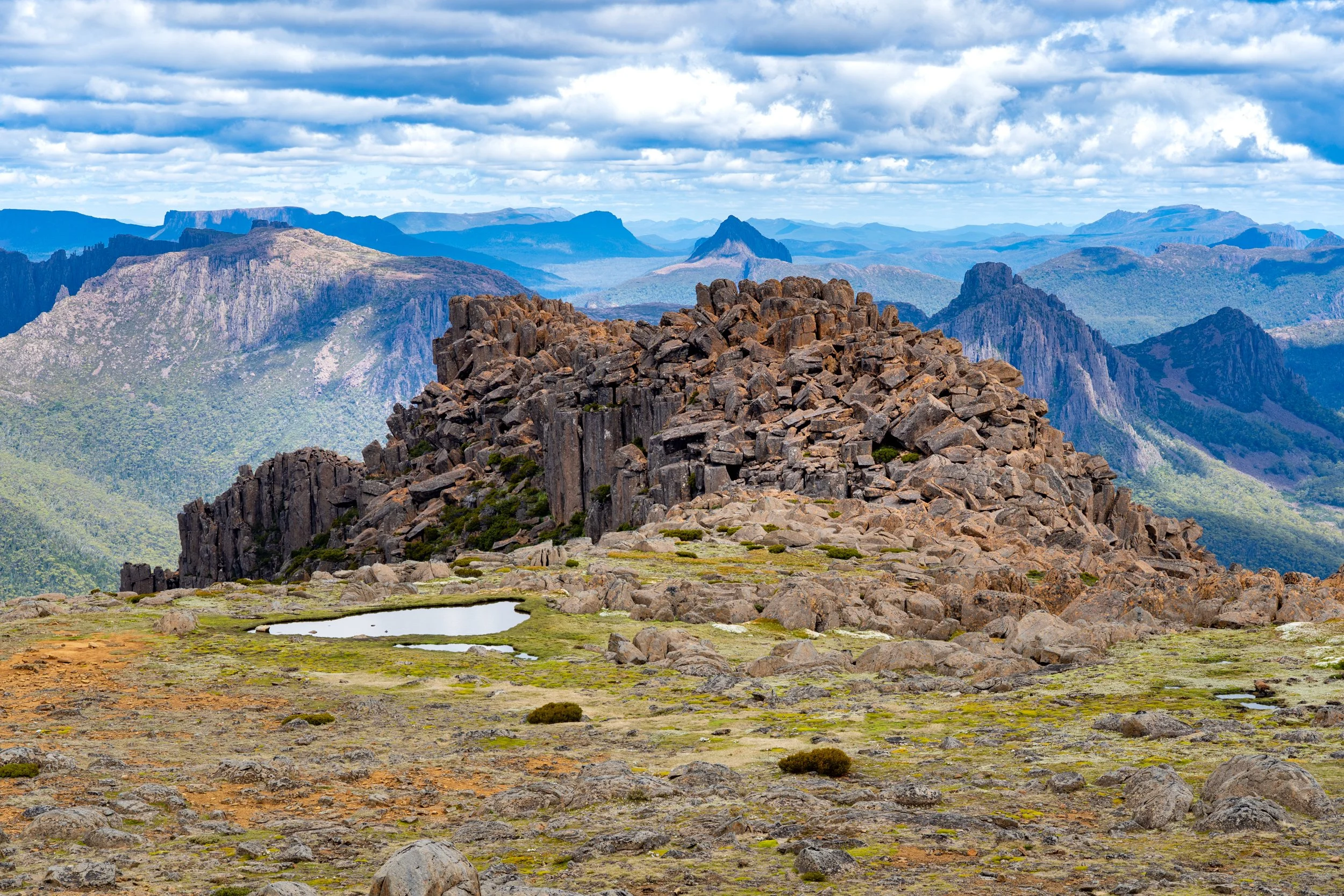
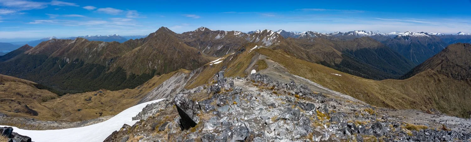
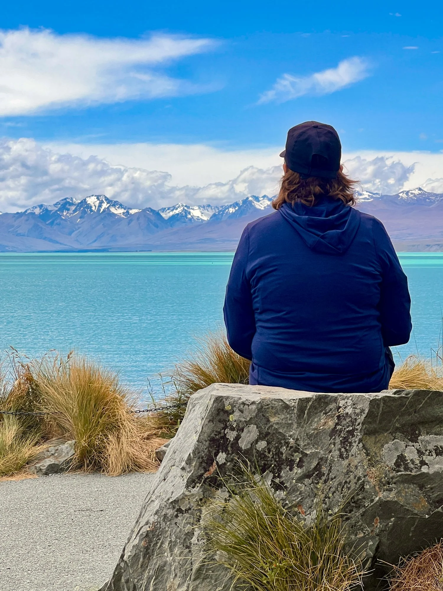
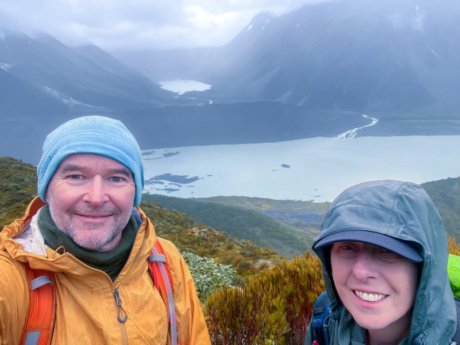
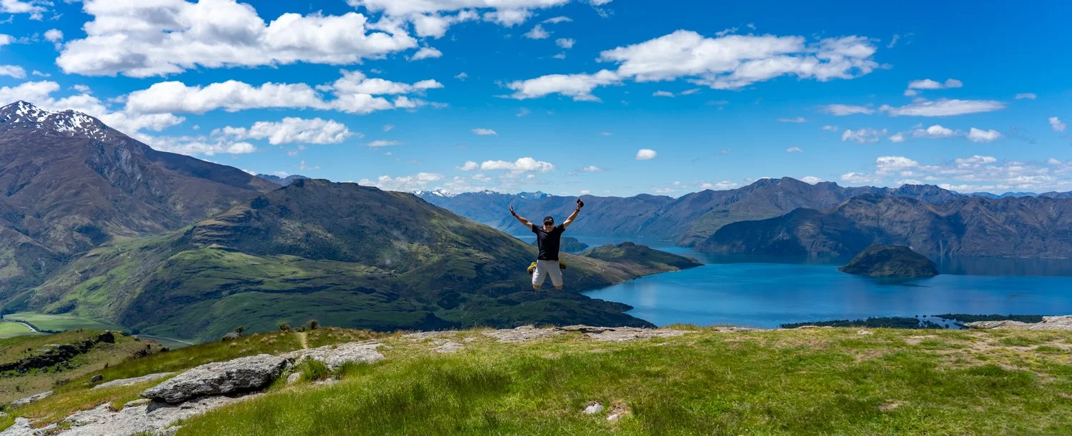
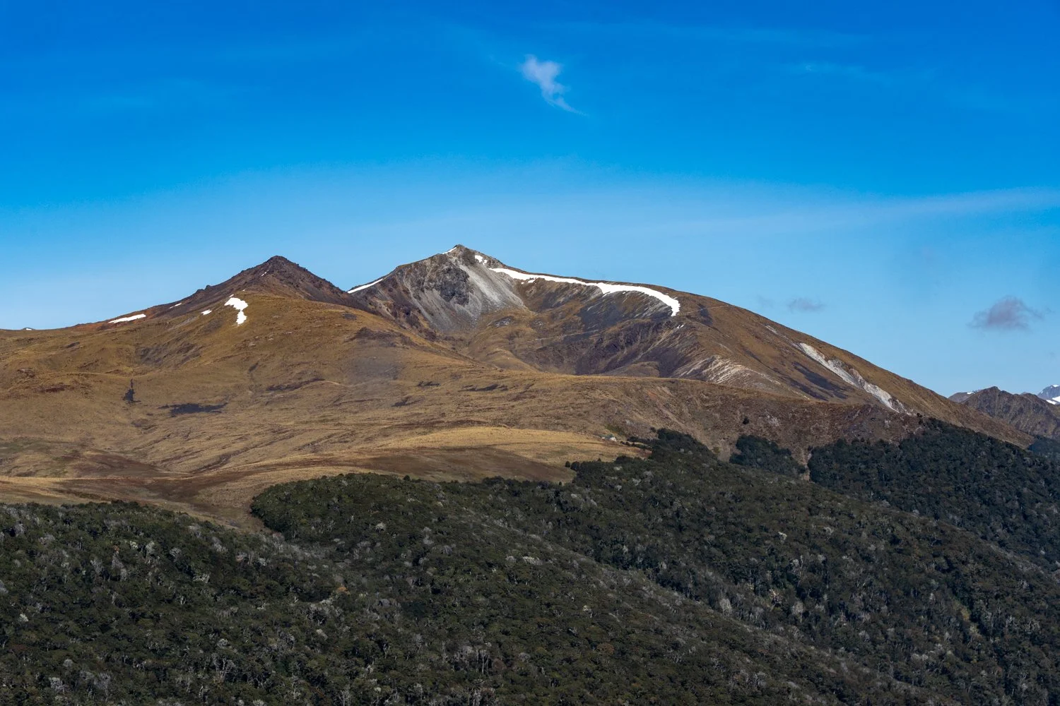
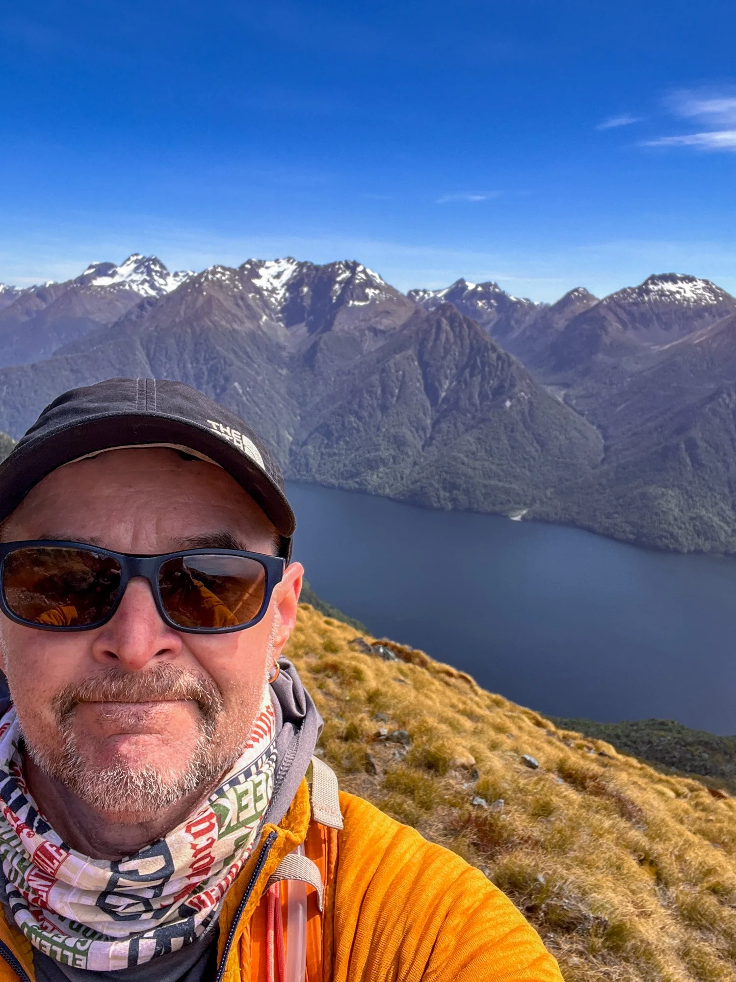
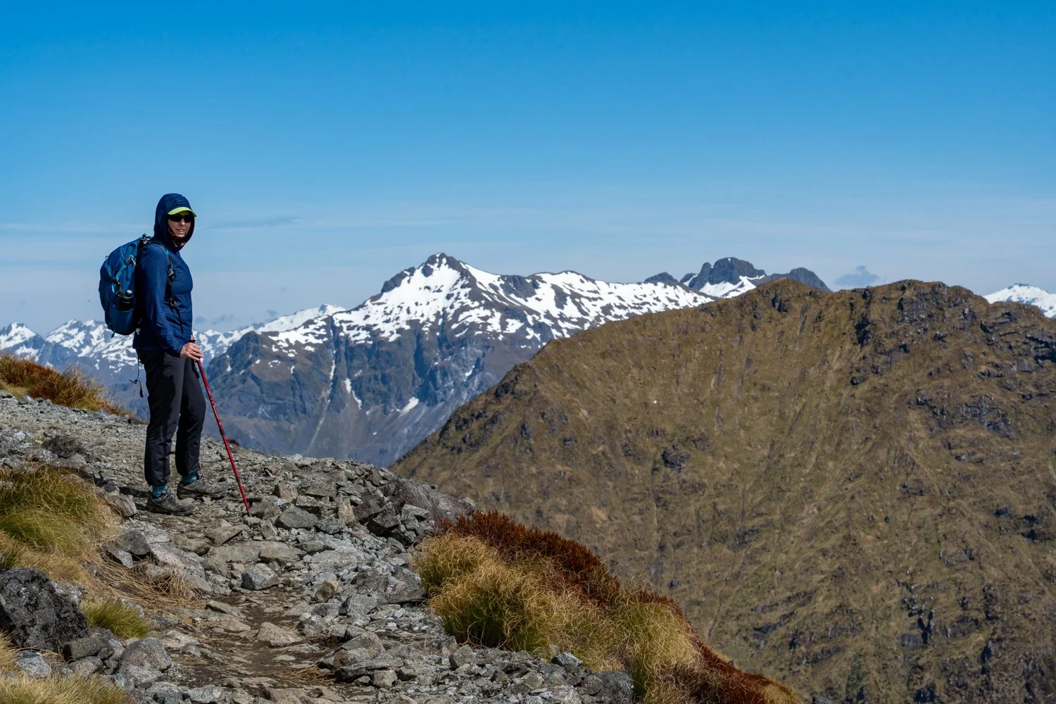
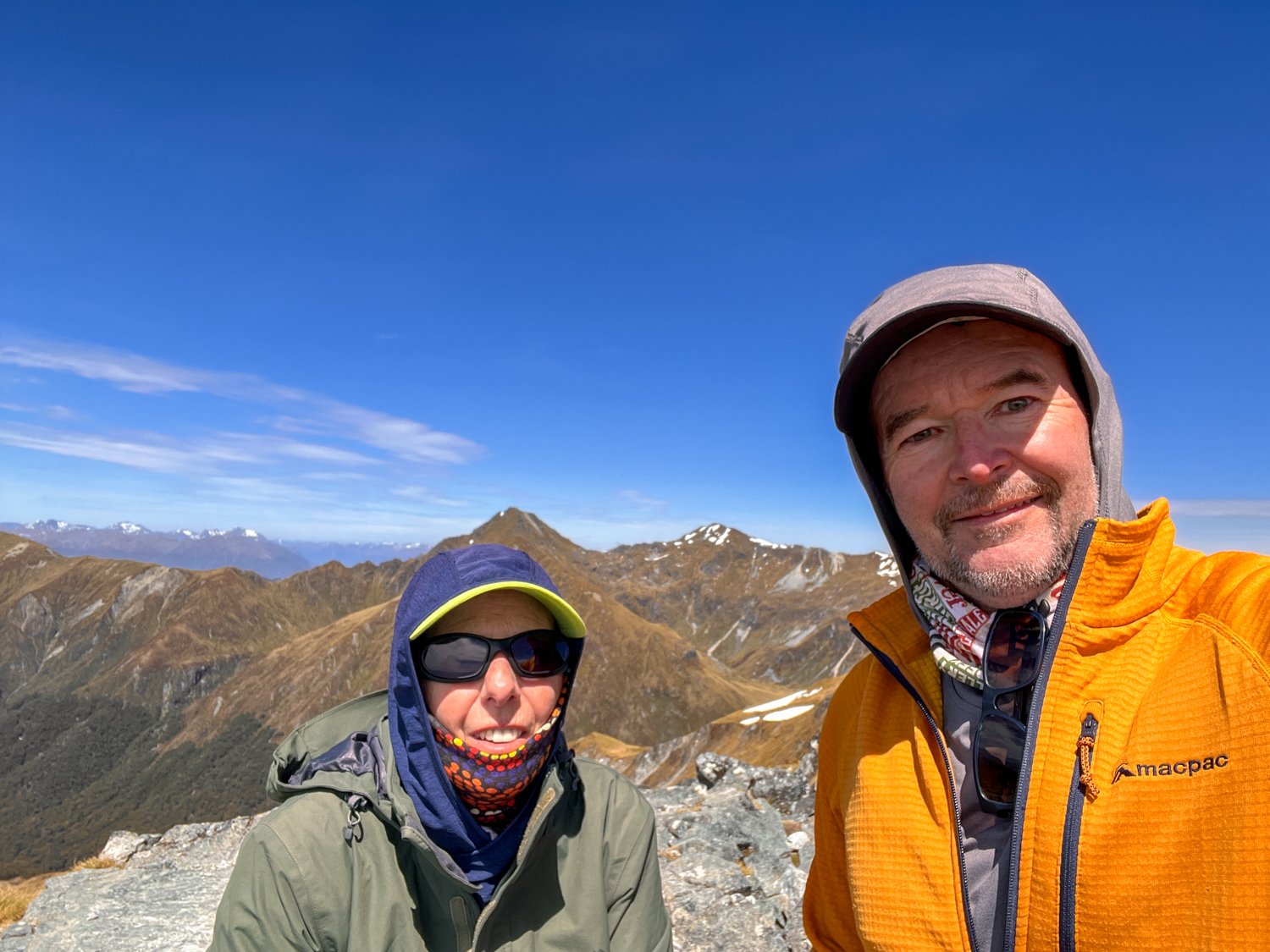
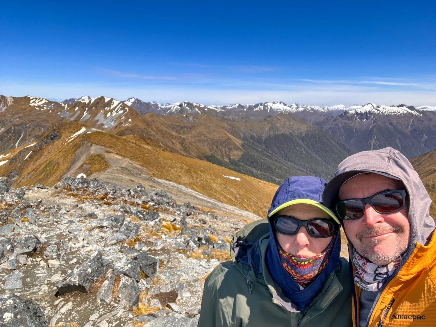
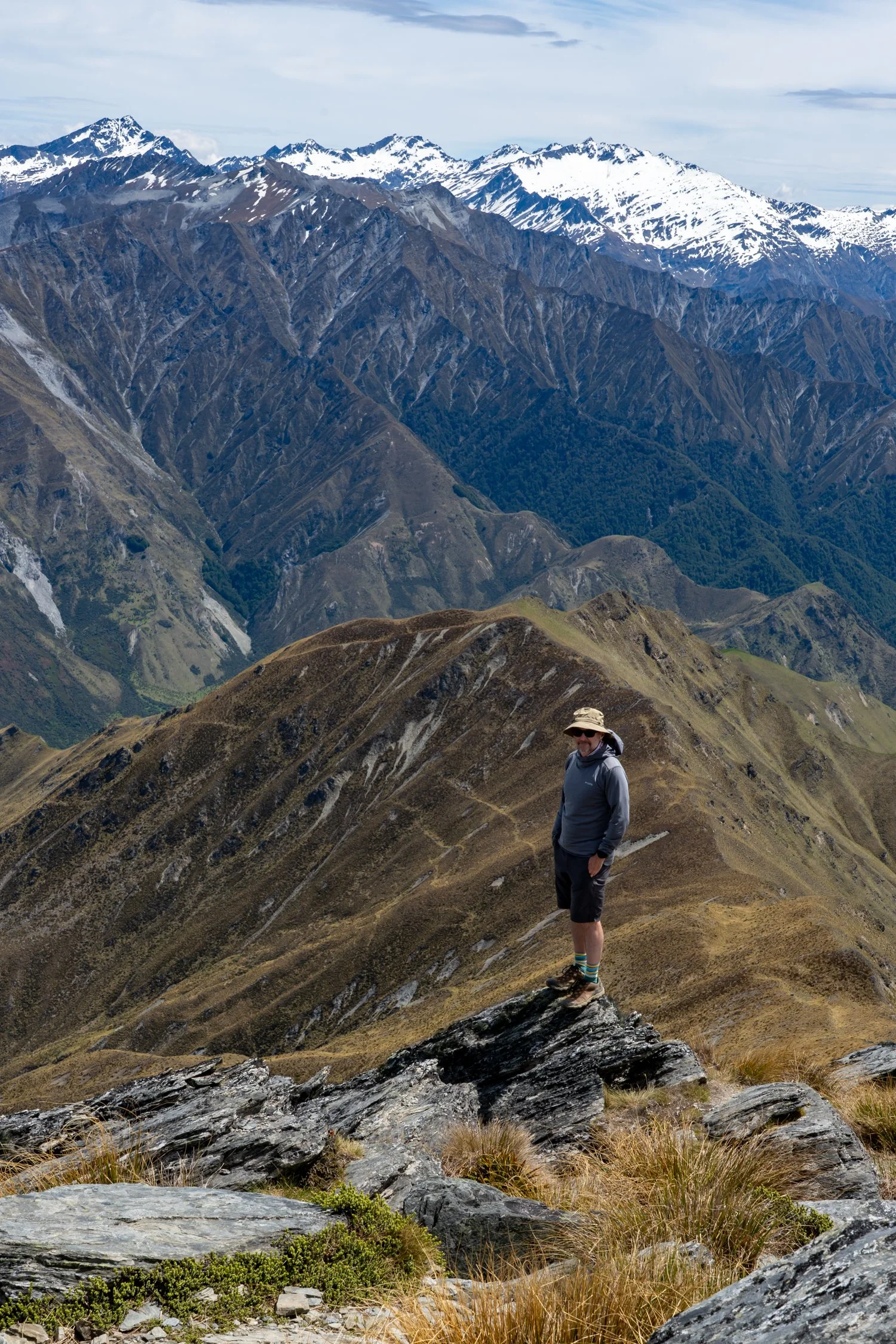
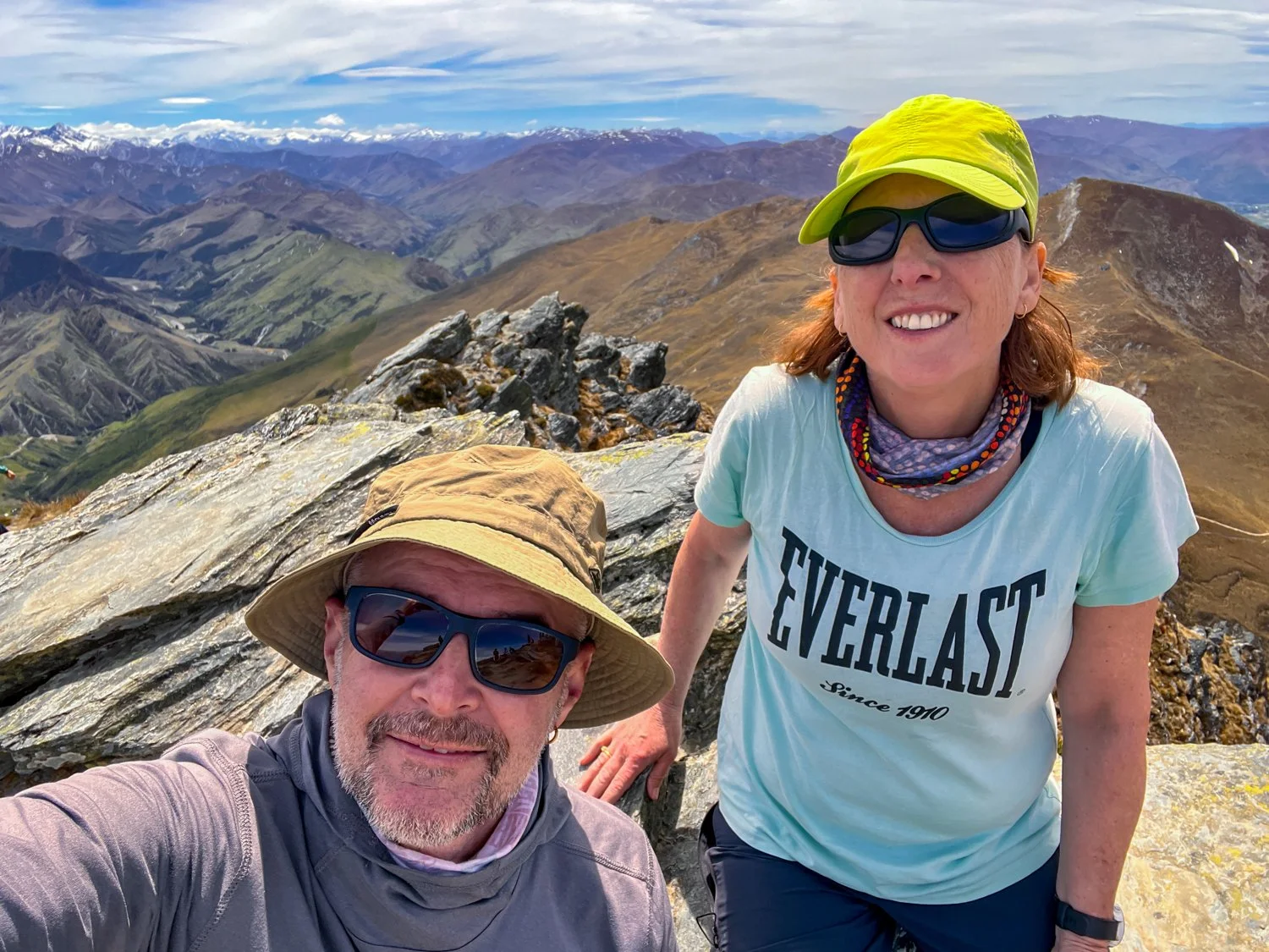
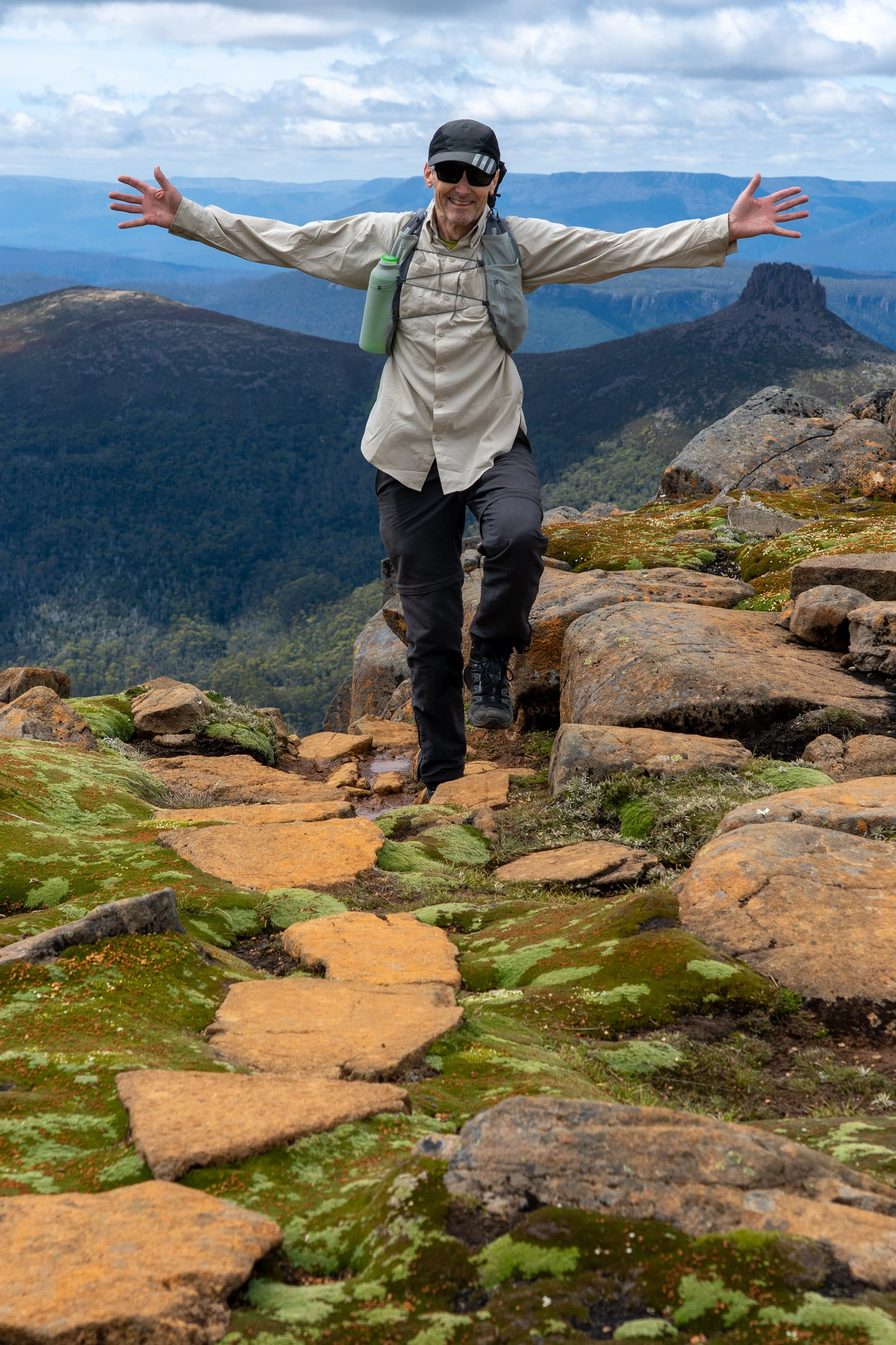
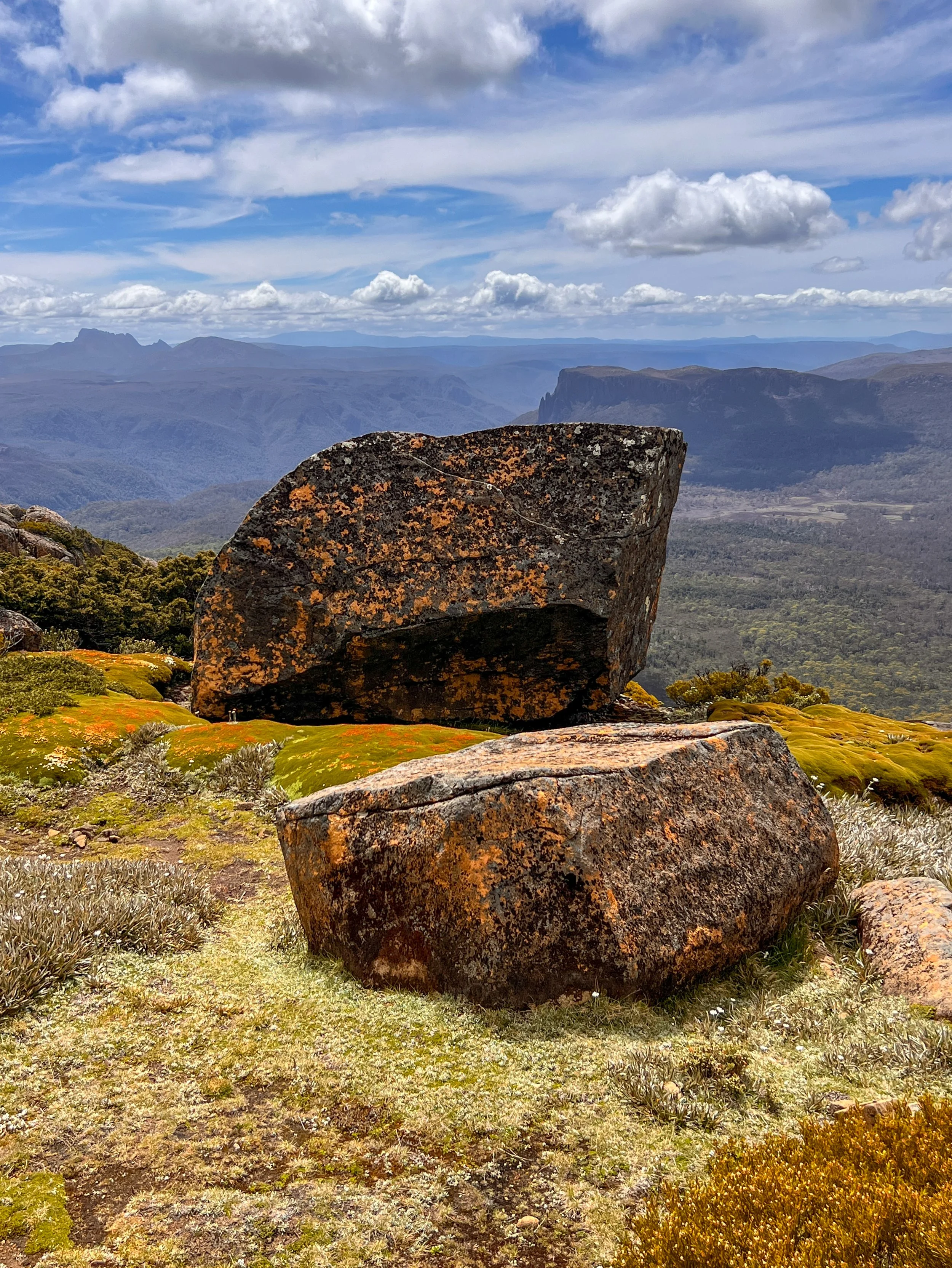
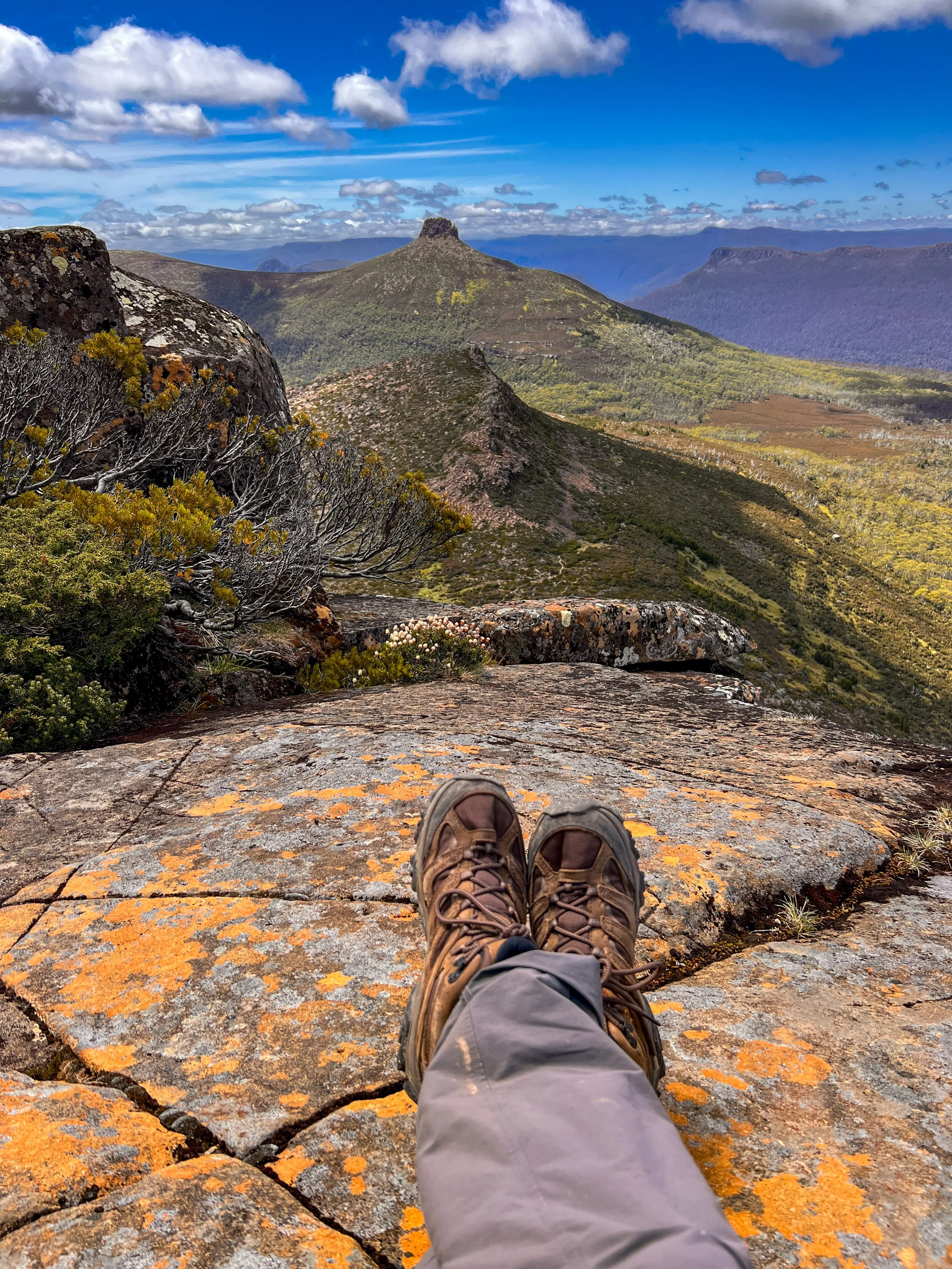
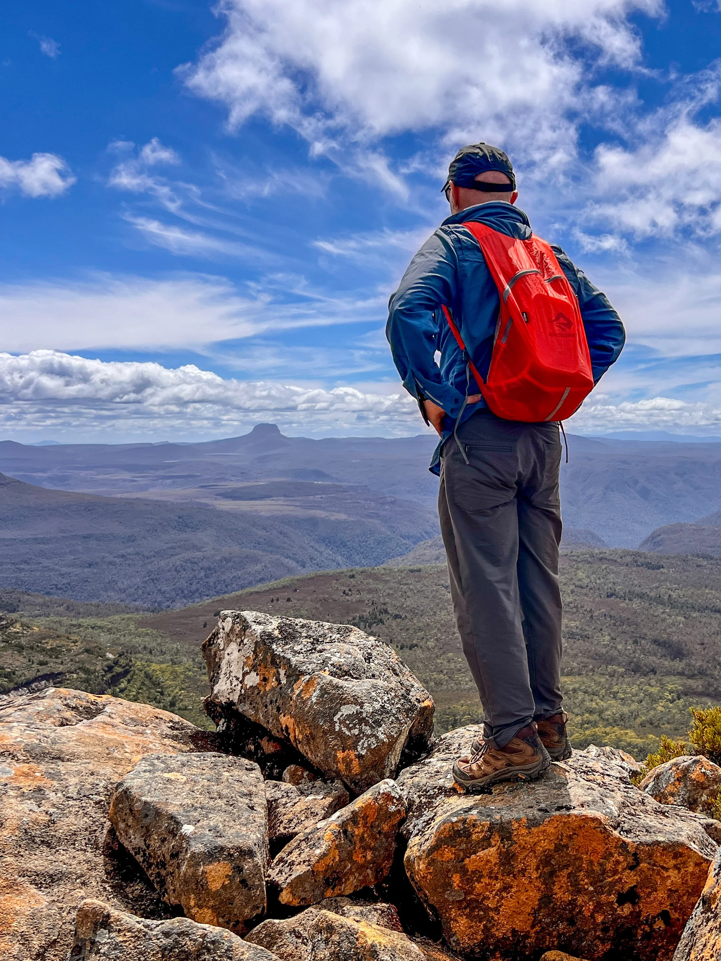
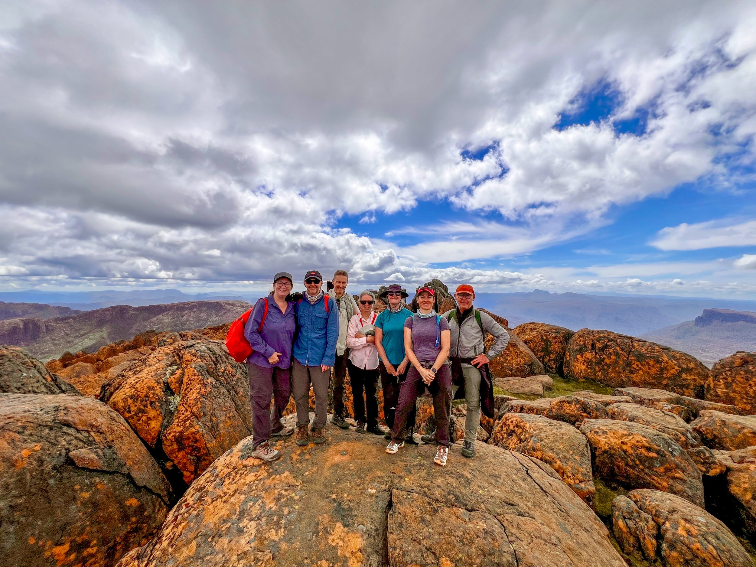
A short walk from here brings us to the final summit: a pile of elephant-sized boulders stacked like a geological game of marbles. There was much discussion along the way about mountain peaks resembling nipples (a topic I will unpack a bit later), However, sitting on the roof of Tasmania, the summit reveals a panorama of peaks of a different kind: Cradle Mountain behind us, Frenchmans Cap far west and the vast wilderness of lakes and valleys beyond. Peaks bore epic names - Mount Geryon, Mount Olympus, Mount Pelion - sounding more like Greek myths than walking destinations. Someone claimed you could see New Zealand on a clear day, which I filed under “guide exaggerations”.
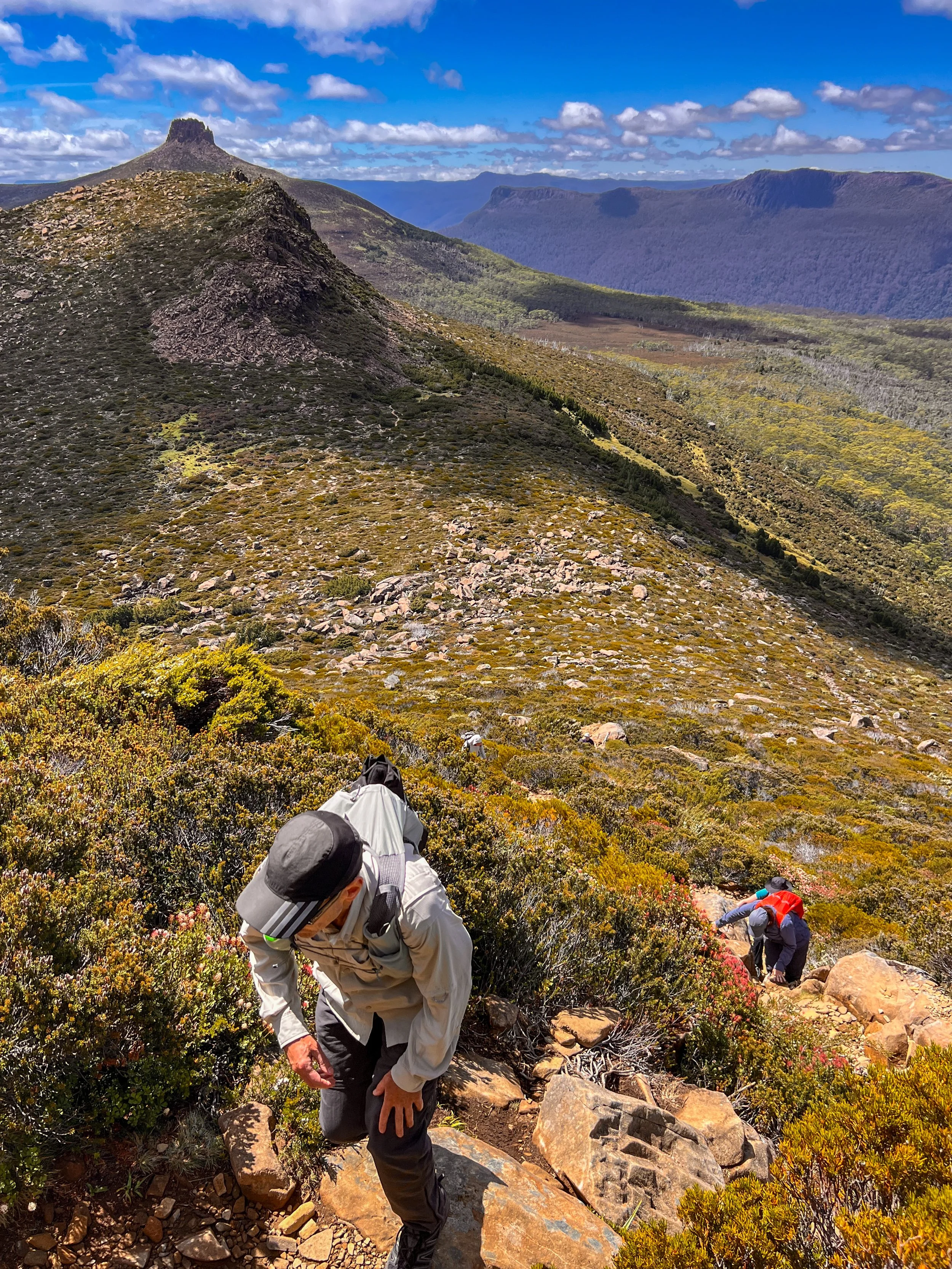
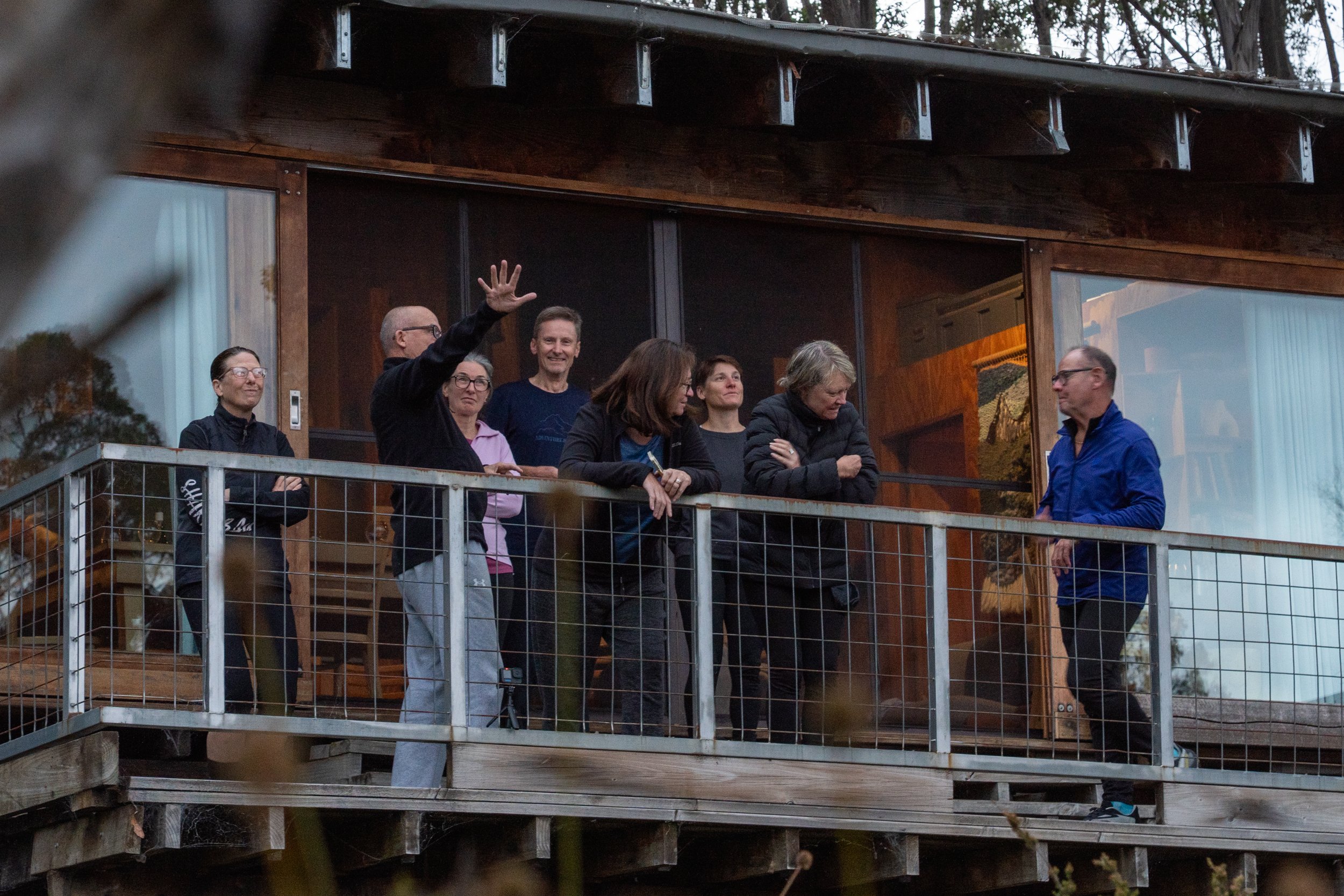
While many of the group leap onto their phones — this being one of the very few places on the track where the outside world dares to intrude — I choose to ignore civilisation and simply sit with the views, soaking in every last morsel of sky, stone and silence. I could stay here for hours, but reality eventually intervenes in the form of a group photo to prove we actually made it. With our achievement officially documented, we shoulder our packs once more and begin the long, ankle-negotiating journey back down the mountain.

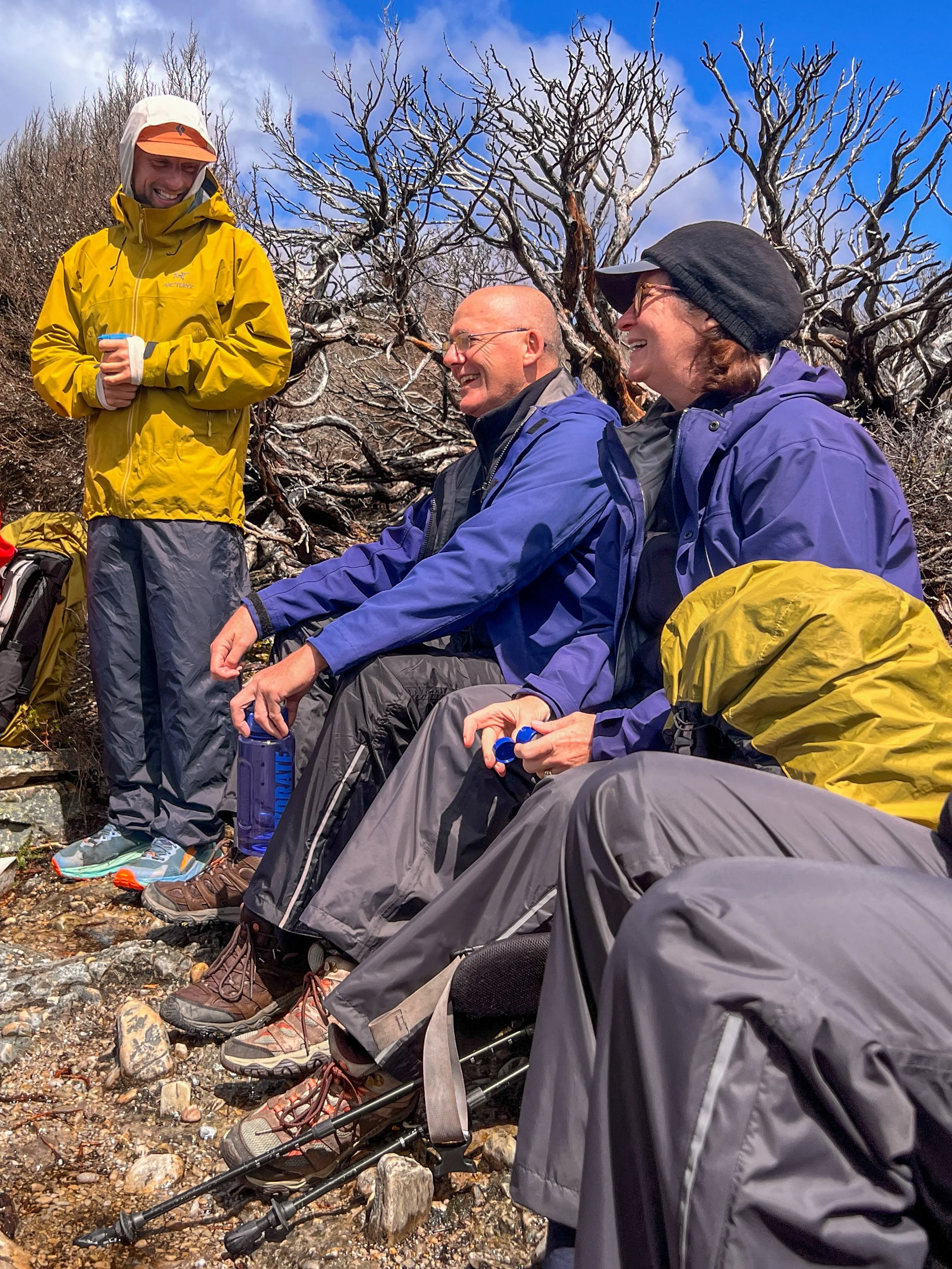
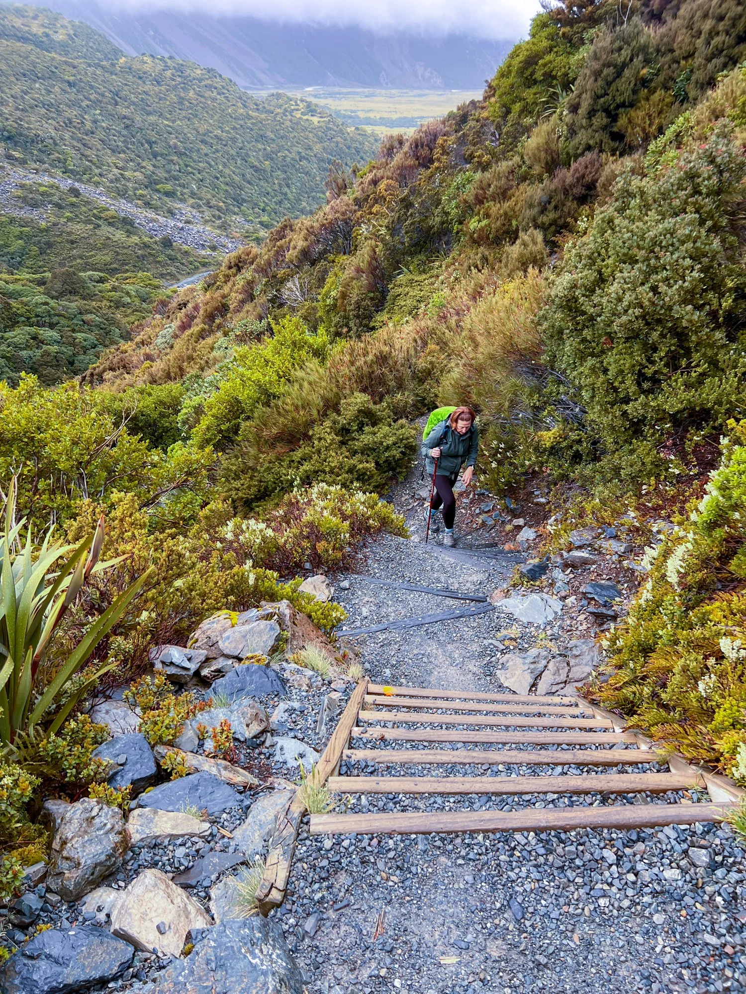
While the hike up was a challenge for many of us, there was a hint of trepidation on how we would manage to get back down again. However, little did we expect that one of our poor trail buddies would make the decision to trip over on one of the flattest section of the entire track and come crashing to the ground. As we all rush to help, Braiden is already working through the emergency evacuation protocol and how to arrange for a helicopter.
But like a miracle - or at least a very determined resurrection - she stands up again, shaking out a very sore and bruised – but still functional – ankle. The mountain had made its point to never get complacent. Heeding its wisdom, we descend carefully, helping one another down the steeper sections and resisting the urge to become human bowling balls plummeting off the edge.
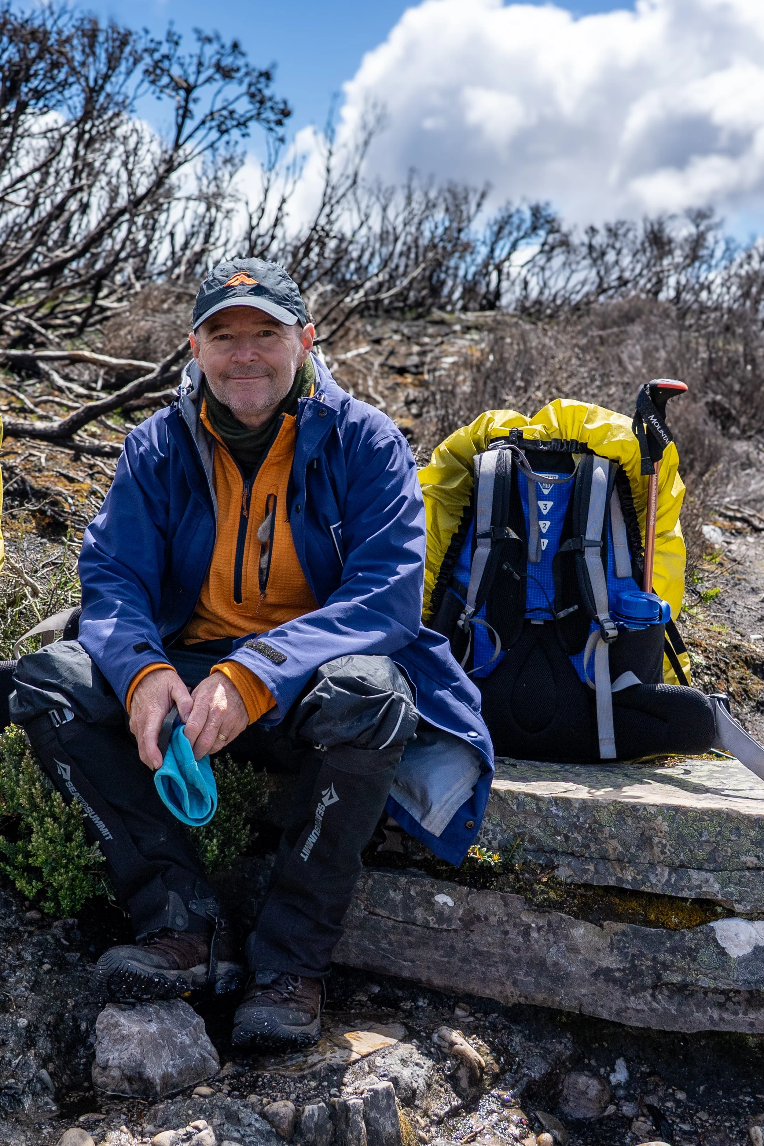
This was taken moments before the fateful fall…
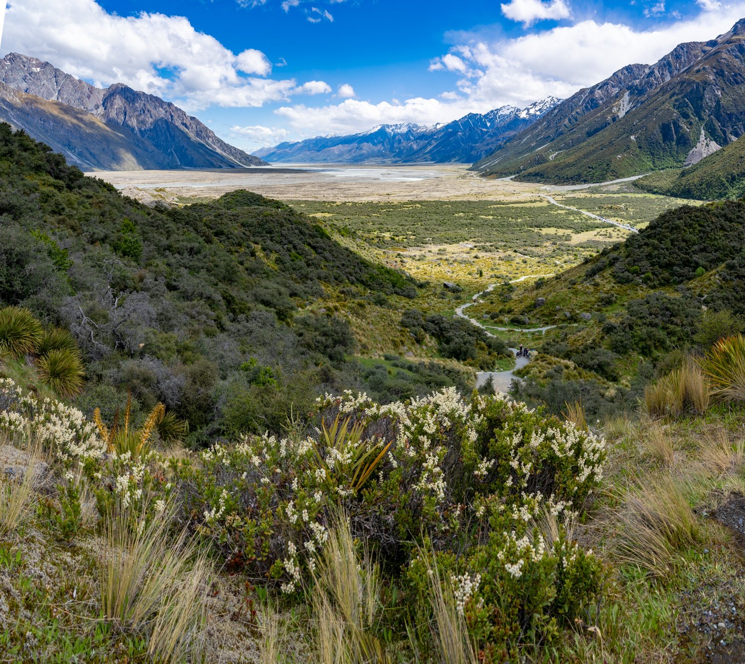
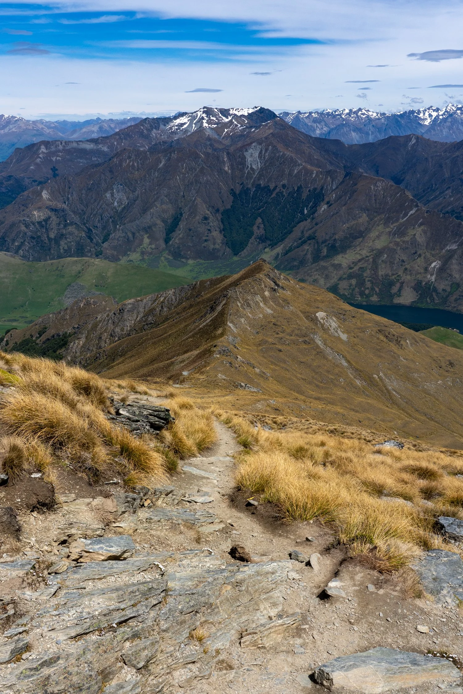
After a long and exhausting return climb we eventually reach Pelion Gap again. An amazing sense of achievement comes over all of us, not only for summiting Mt Ossa, but even more from not having to be helicoptered out.

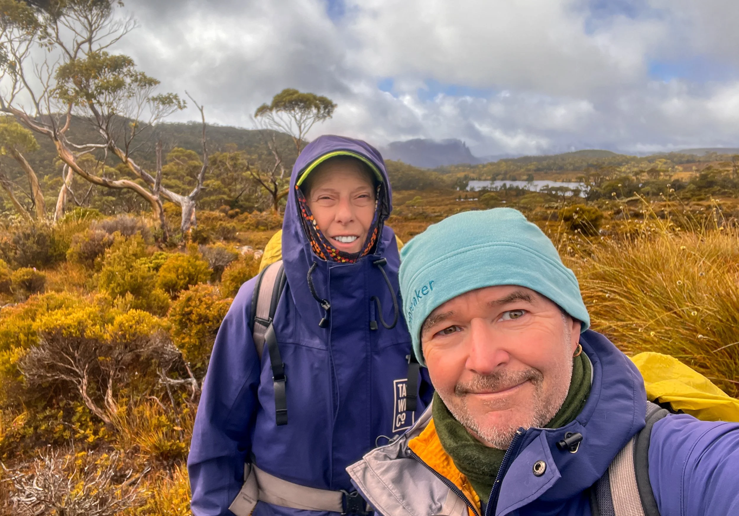
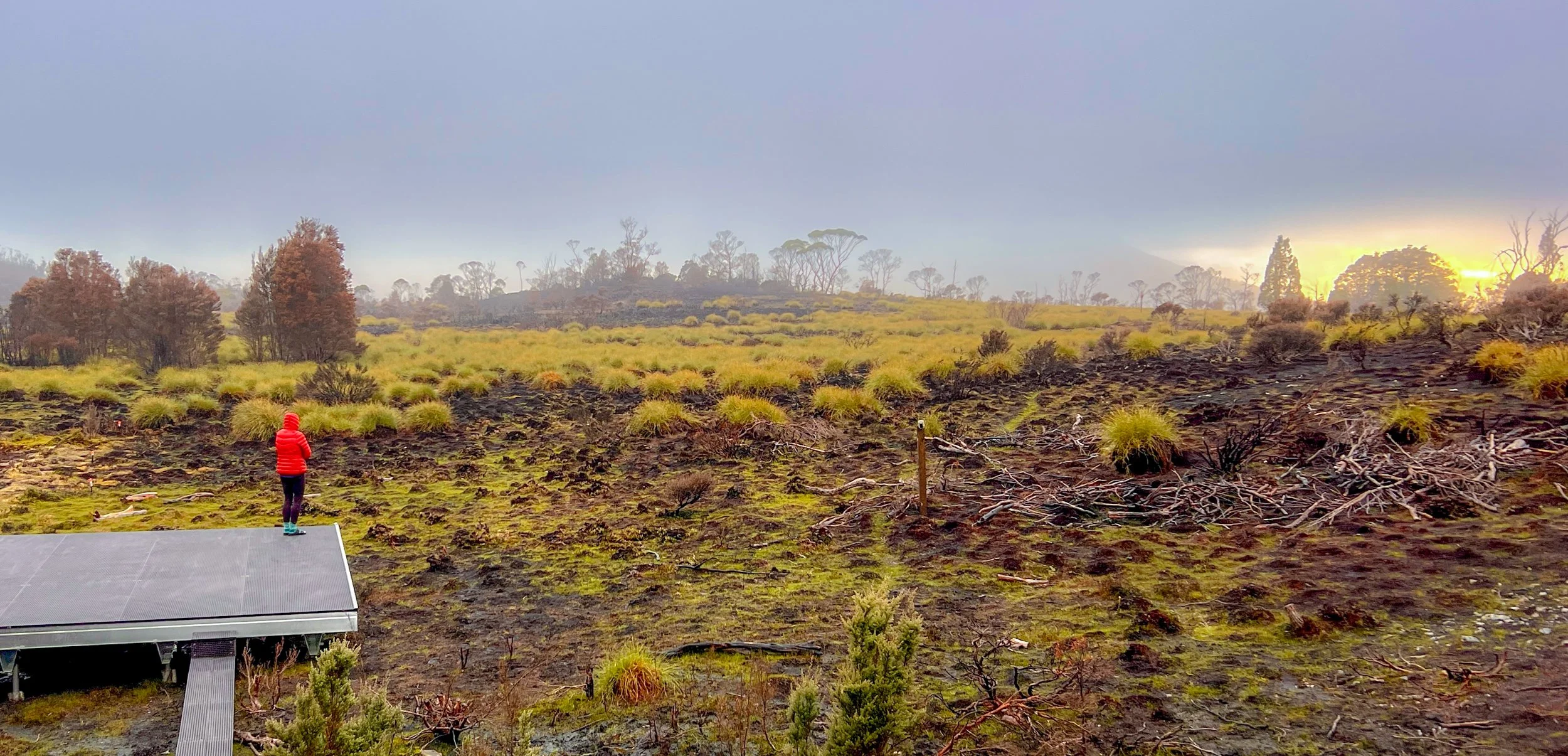
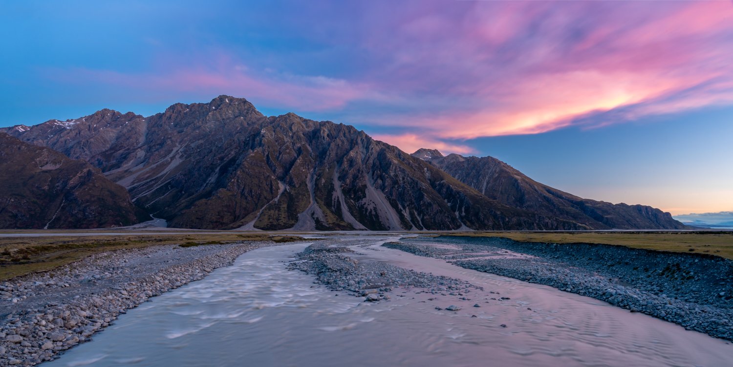
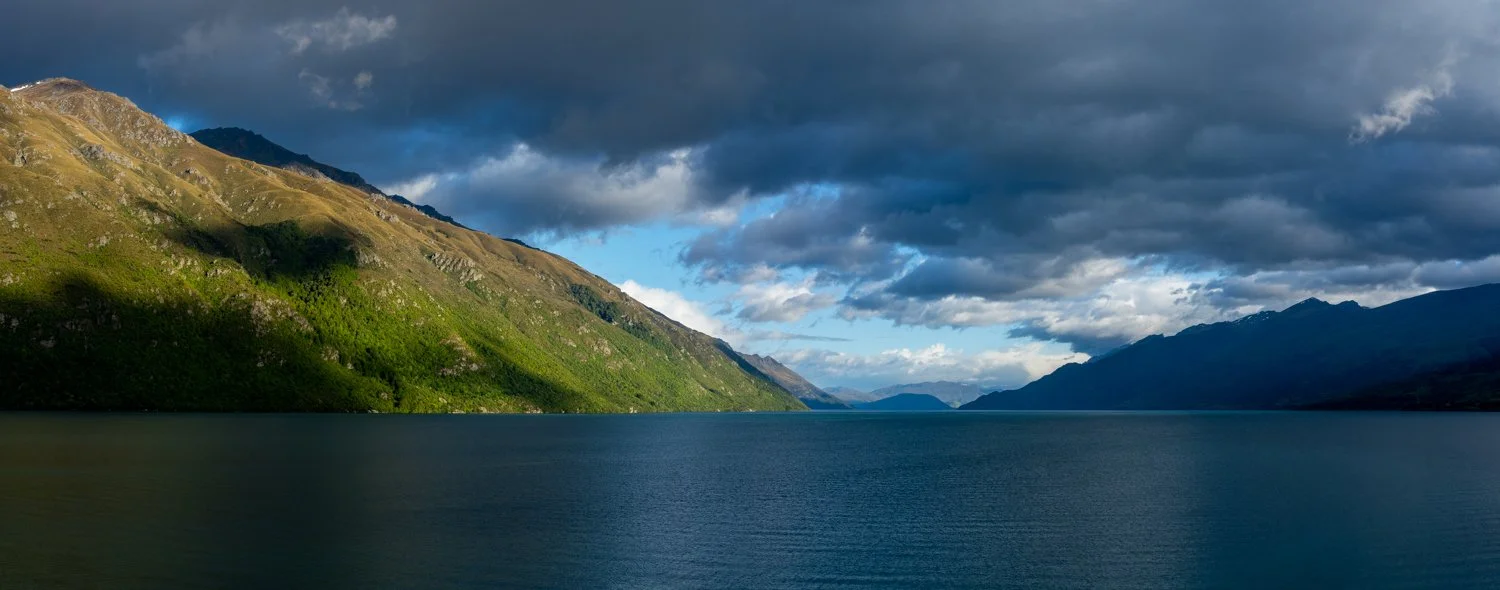
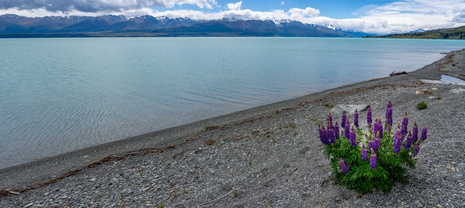
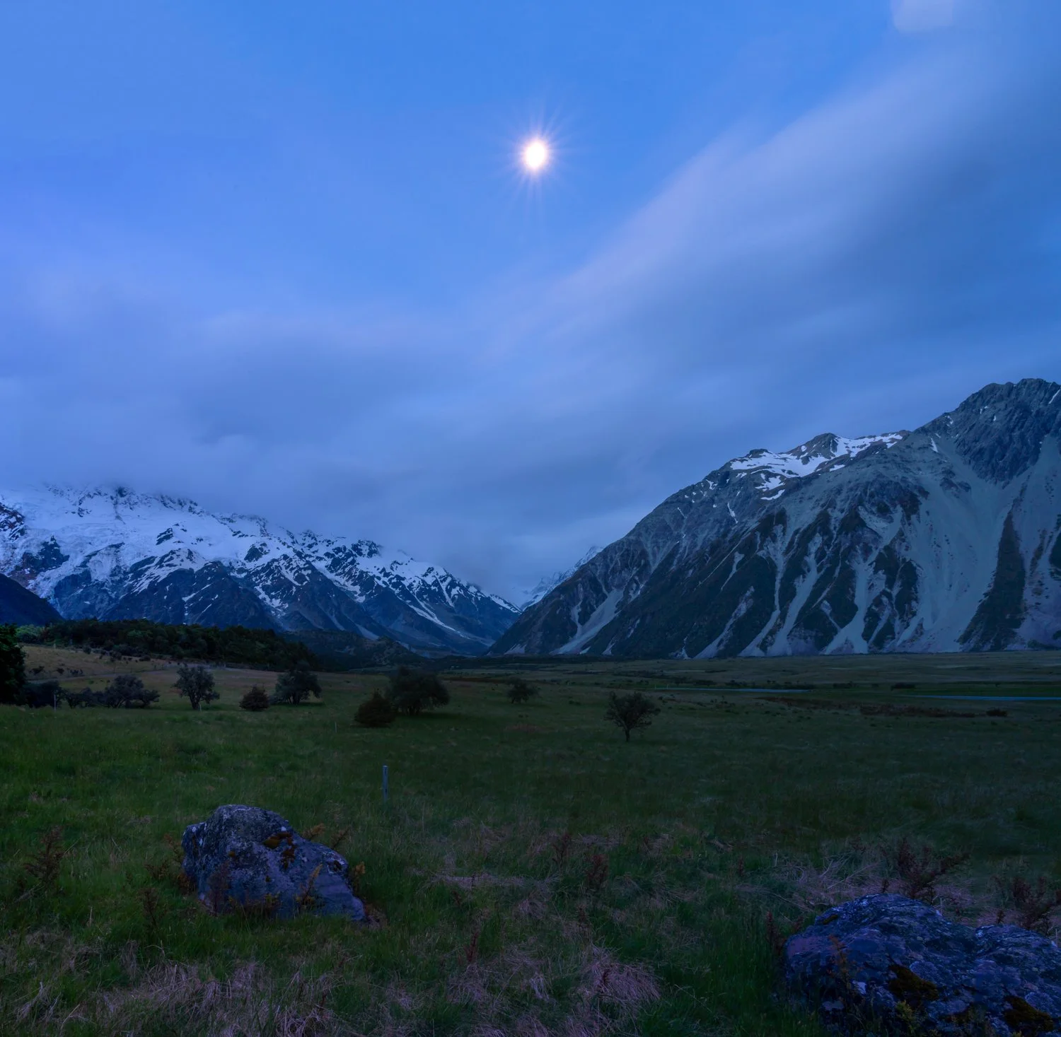
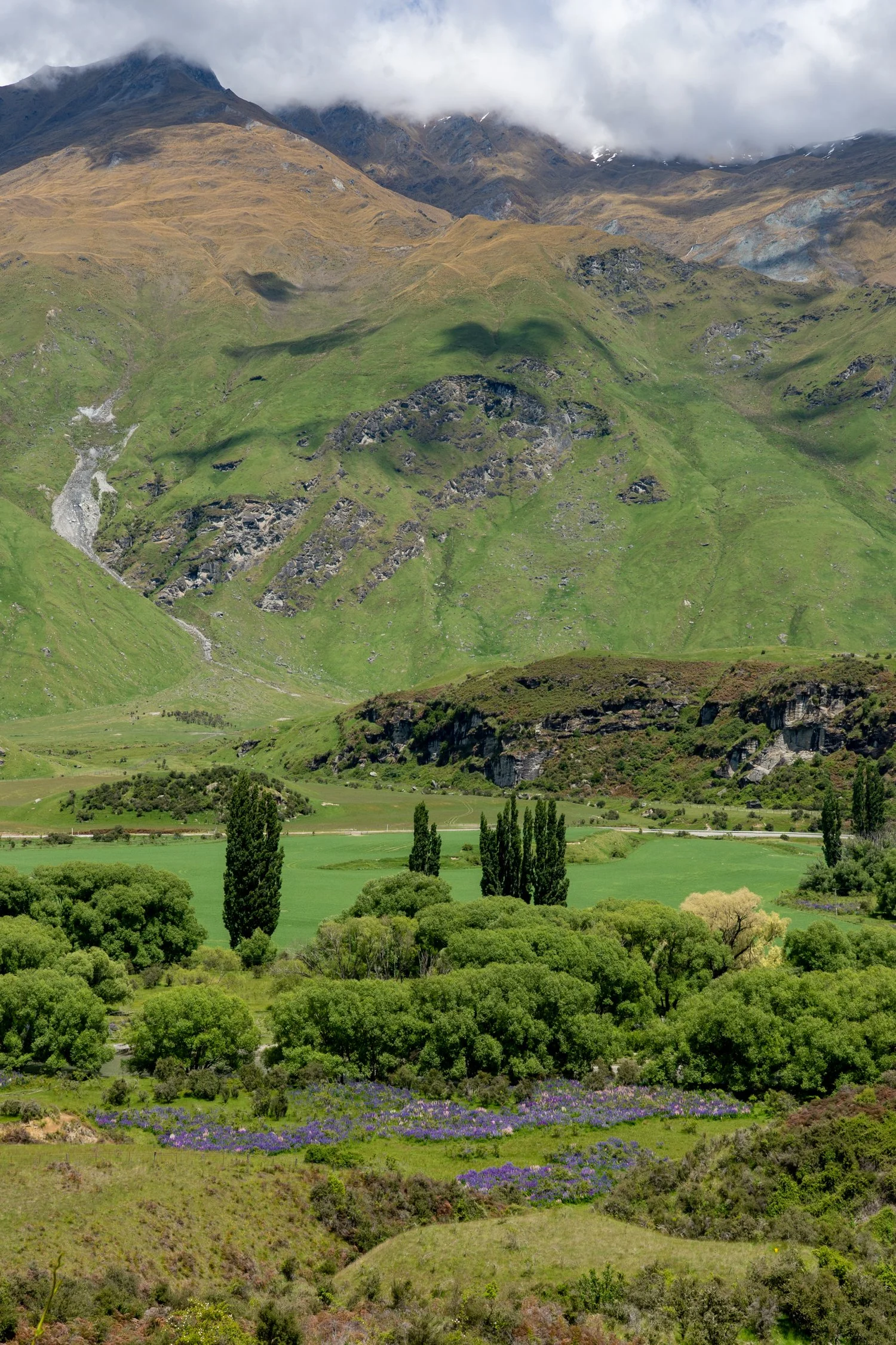
With four kilometres still to go and sunset approaching, the promise of Kia Ora Hut is deeply motivating. The Du Cane Range glowes in the distance as we drop into Pinestone Valley. While I try to take in the scenery, my thoughts are now firmly on Kathy: had she descended into a vertigo induced coma and helicopters had been called, or managed to survive the walk and was still able to stand vertical?
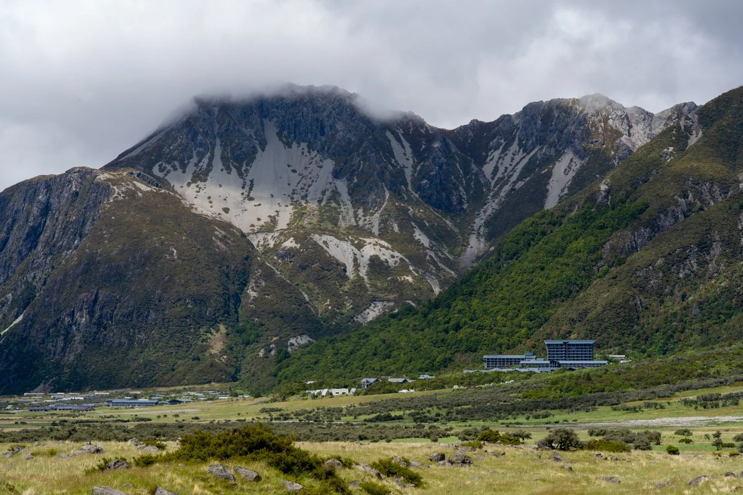
Reaching the hut, I am relieved to see her lying in the bed, still conscious without the world spinning around her. By evening the symptoms begin to dissipate and we all get to stand on the deck looking out over Cathedral Mountain.
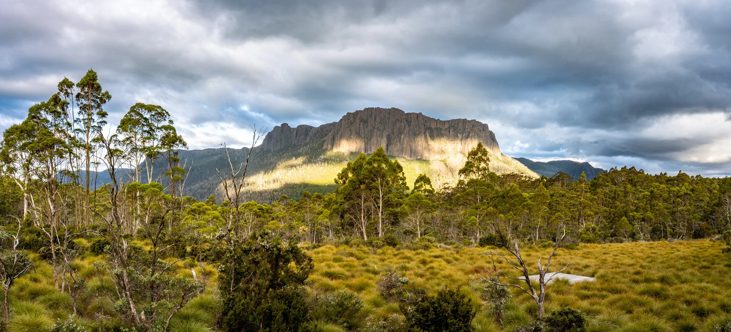
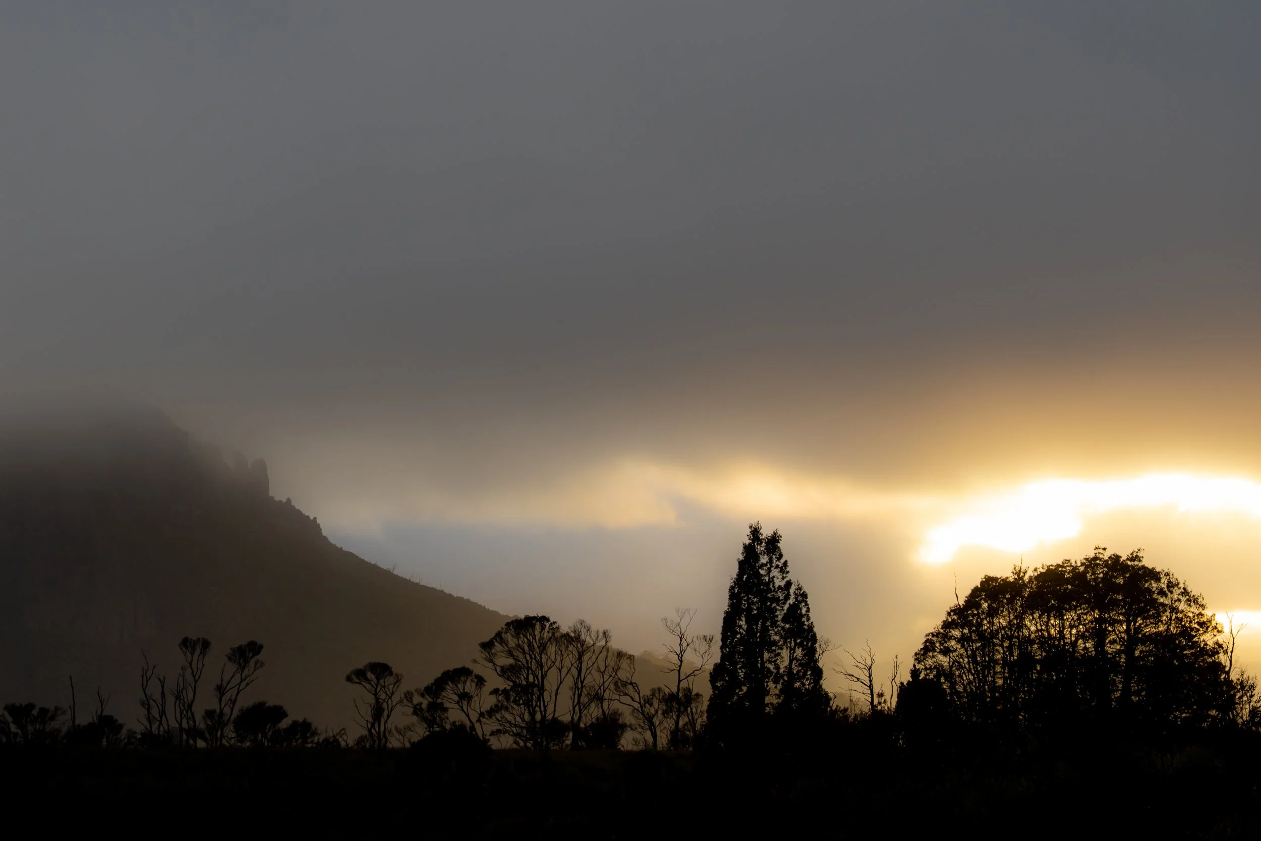
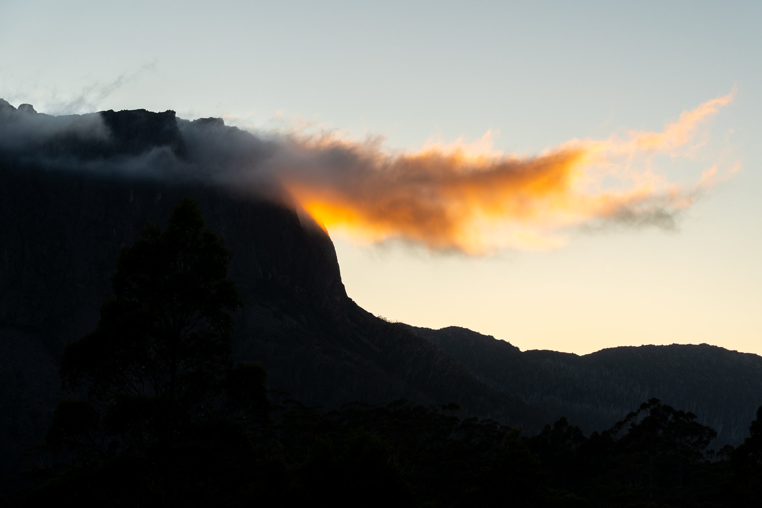
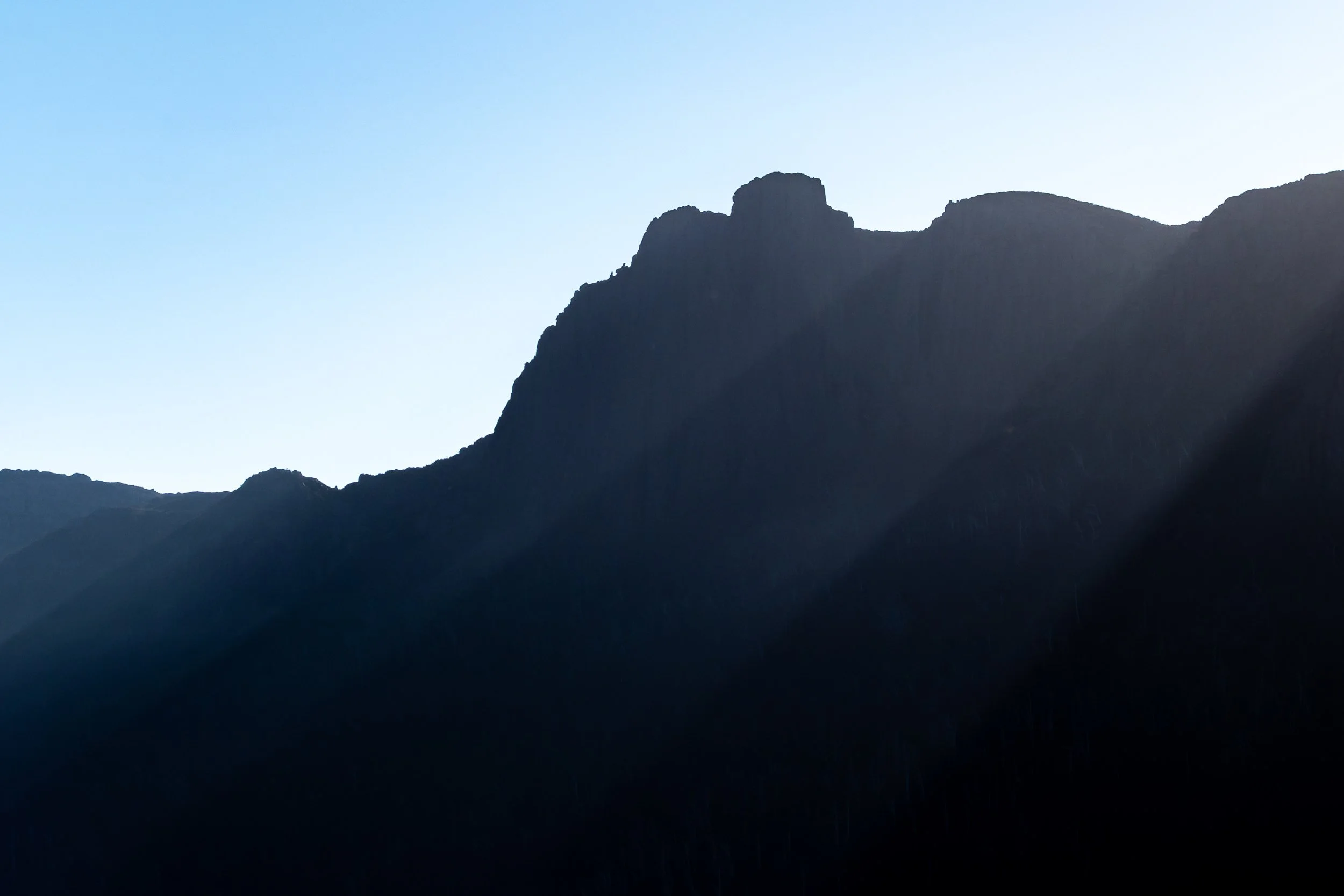
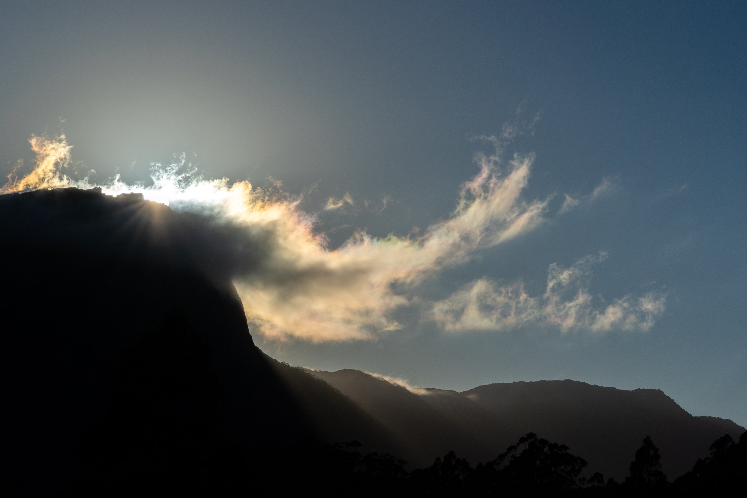
If the last few nights had not put on a good enough show, then tonight was the curtain call. As the sun set and darkness begins to envelope the mountain, a flame red spotlight appears low in the horizon, shinning directly onto Cathedral Mountain. While I am not a religions person, looking at the mountain named after a place of worship, and a God like ray of light setting the side ablaze in red, it was a sight to behold.
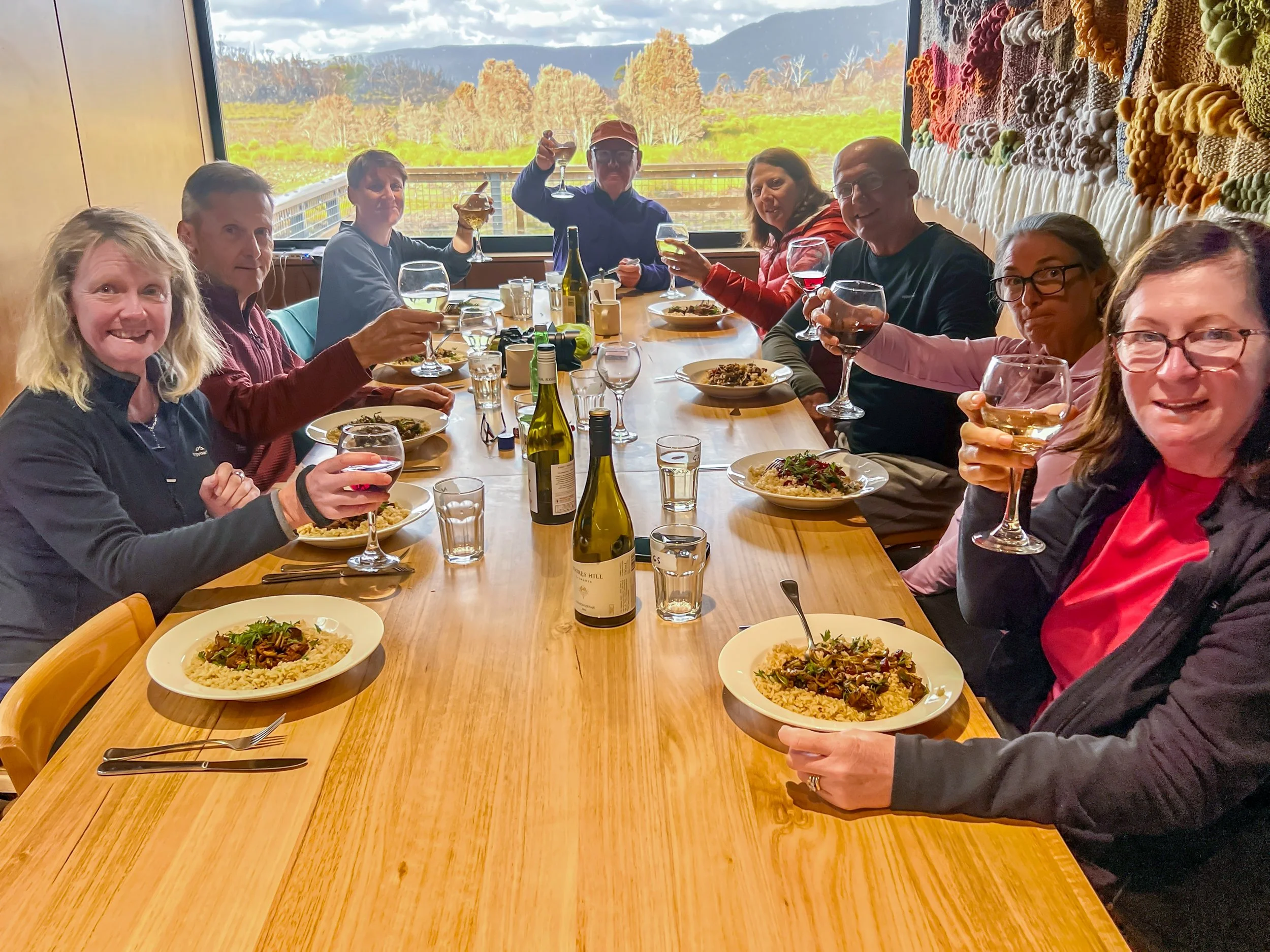
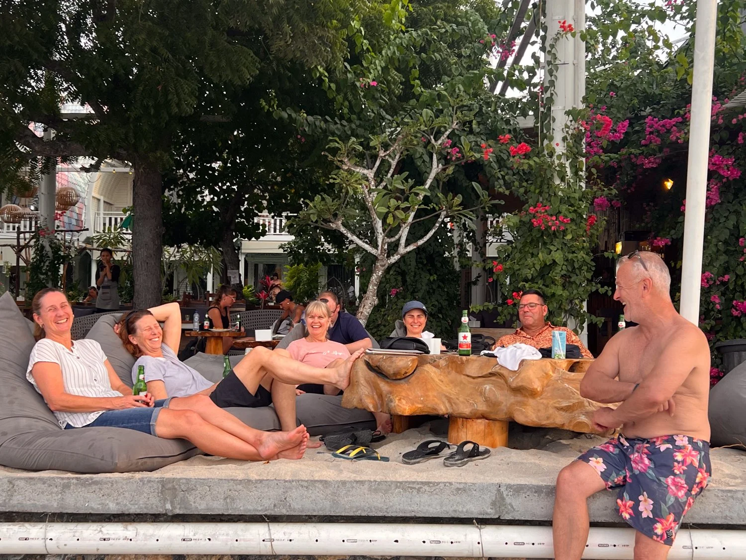
As we watch Tasmania’s own fiery spectacle, reminiscent of Uluru’s glow, we toast to two big sets of achievements - for some of us reaching the highest summit in Tasmania, and for others getting to the Hut in one piece.
Side Note: I previously mentioned the reference to some mountain peaks resembling nipples, however little did I realise the female anatomy would become a major topic of discussion. If you are a female and ever struggle with your day pack not having adjustable traps, I would highly recommend you do not use something to tie them together in front of you. Otherwise, they may inadvertently bring together said breasts to create a significantly more enlarged cleavage and you are likely to become the but of all jokes for the rest of the trip. Mountains may look like nipples, but I am not sure how this got called “Chicky Chicky Wah Wahs”! ….. Maybe Gabe will know?
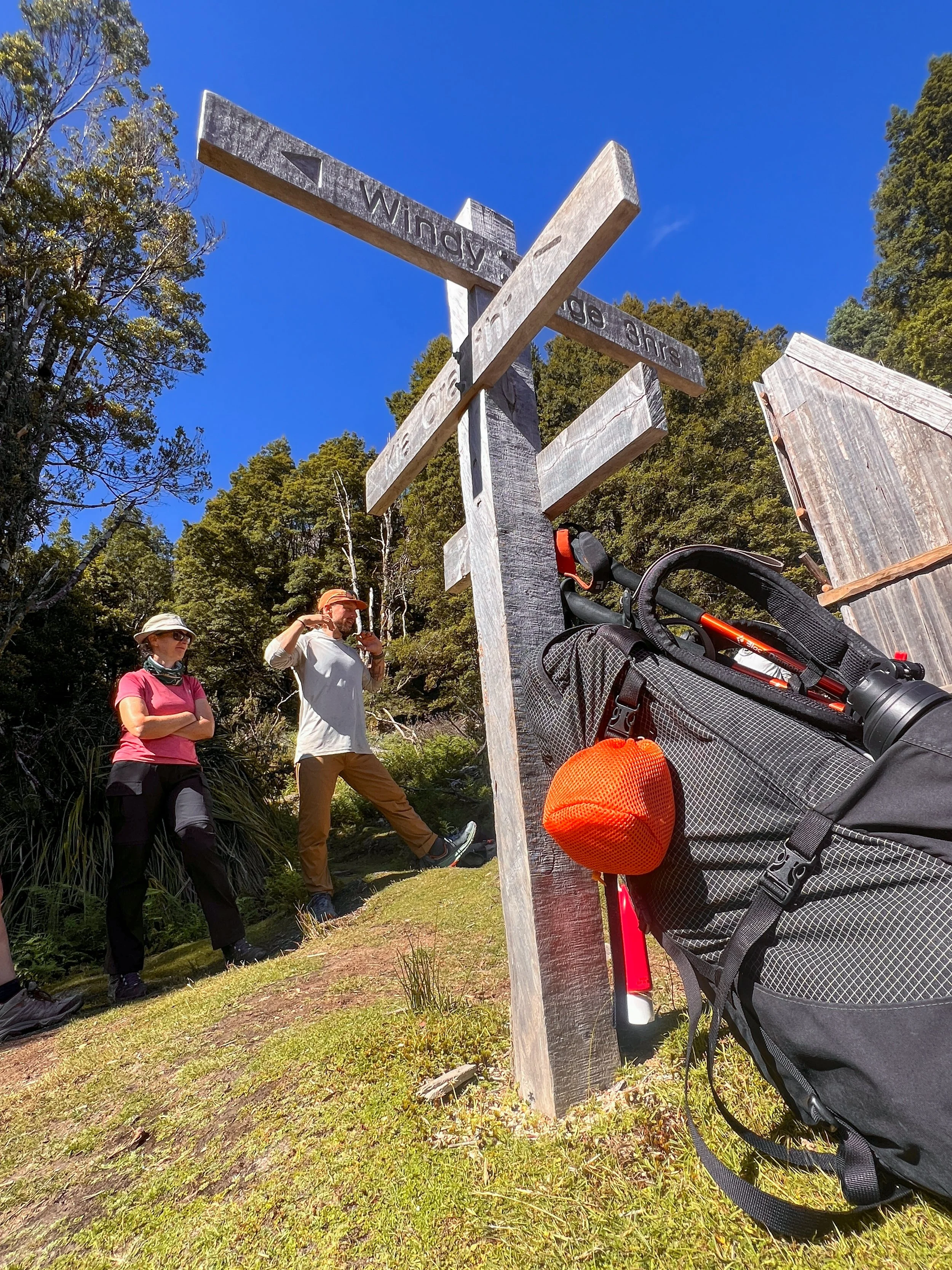
DAY FIVE — Cold Rivers and Ancient Trees
Kia Ora Hut to Windy Ridge Hut
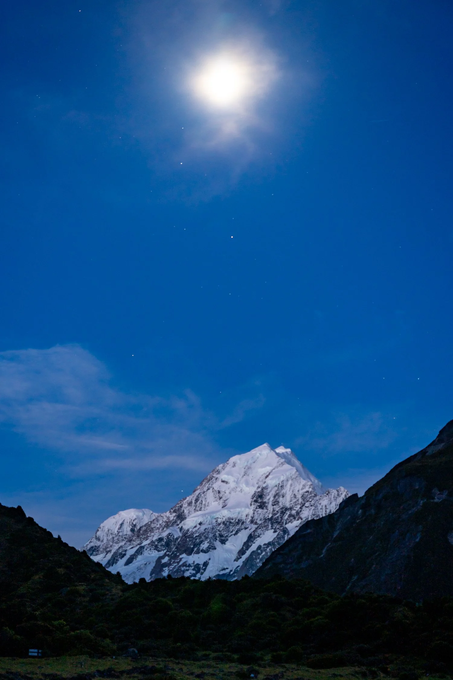
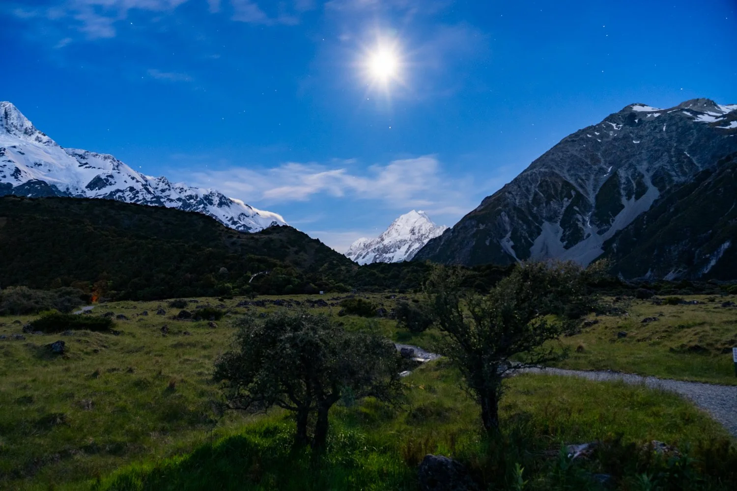
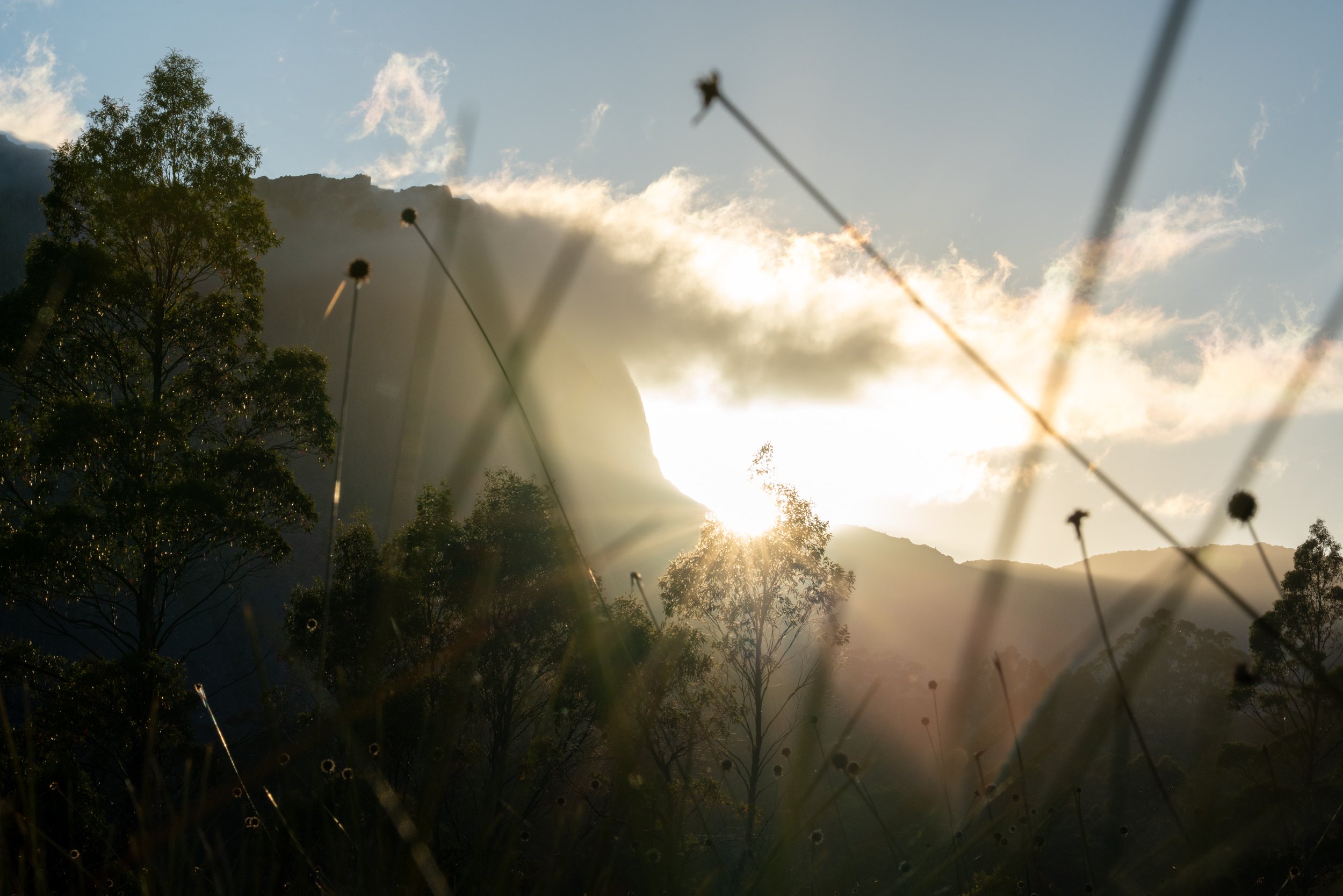
Waking early — at least early by my standards — I am greeted by the silhouette of Cathedral Mountain, its dark outline framed by delicate, thread-like pink clouds streaming from the summit like silk ribbons in the morning light. It feels like the mountain are quietly announcing a fine day ahead. Even the birds seem unusually enthusiastic about the prospect.
Kathy, however, was still dealing with the lingering hangover from yesterday’s vertigo episode, though thankfully today’s walk promised to be one of the gentler stages.
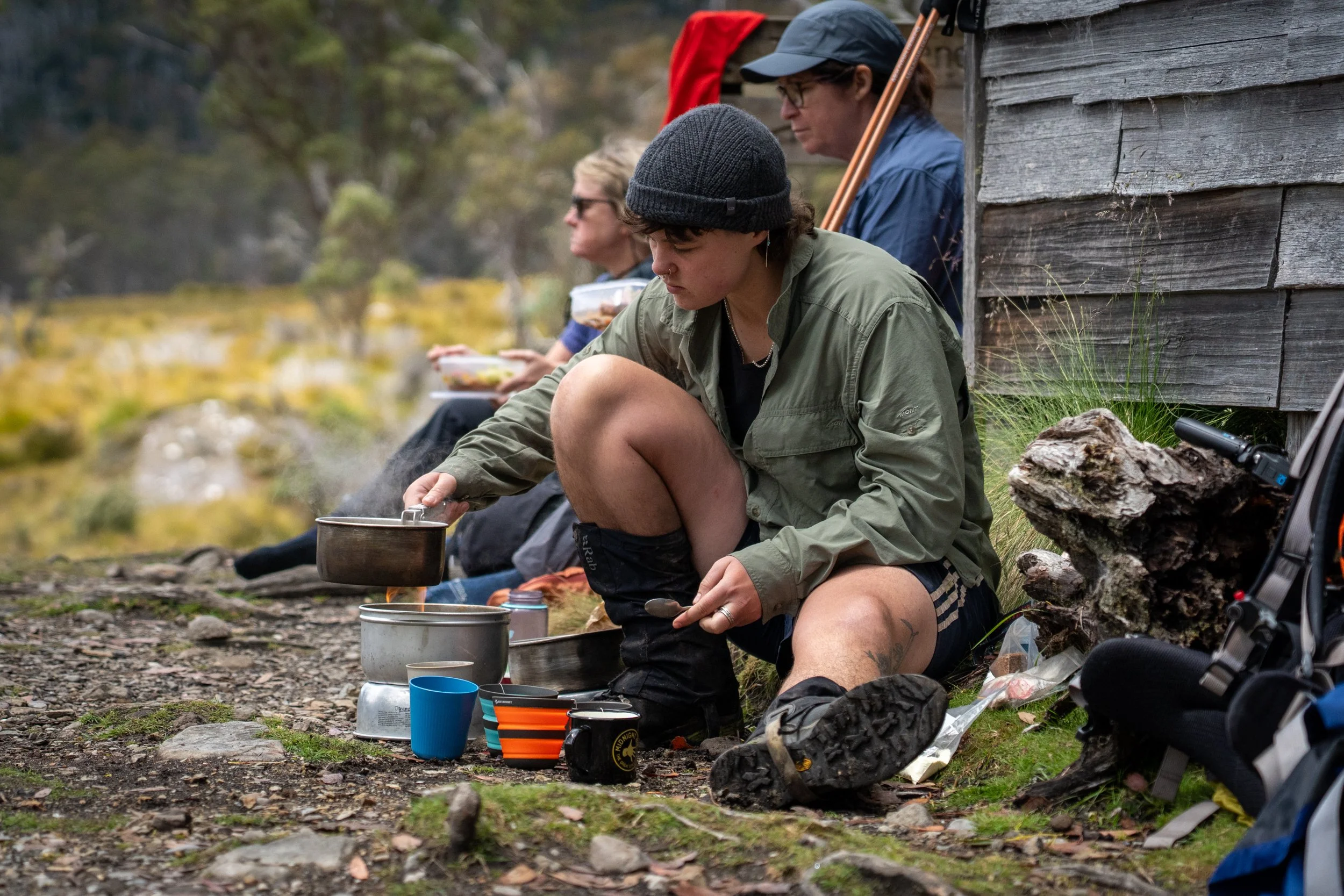
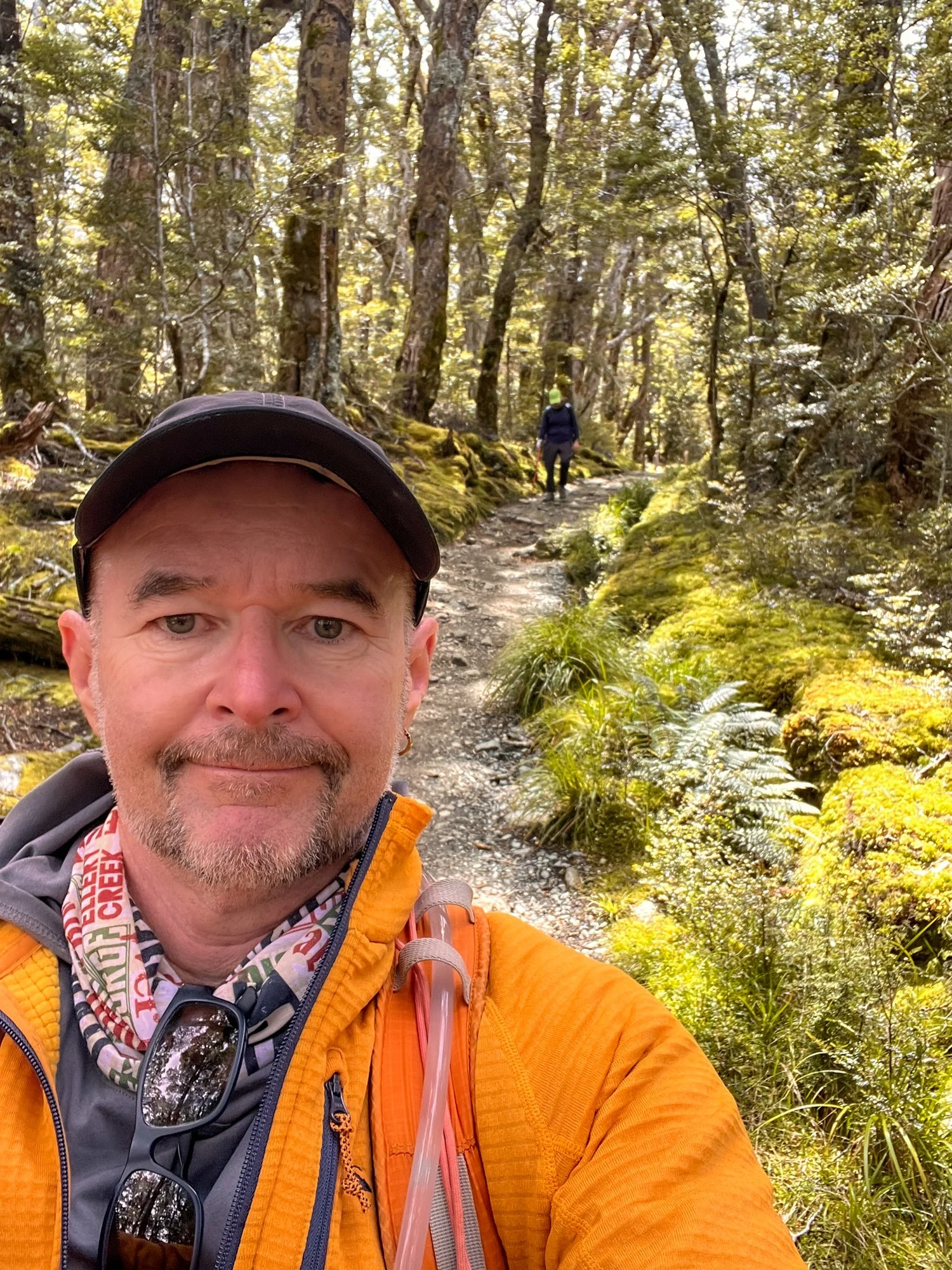
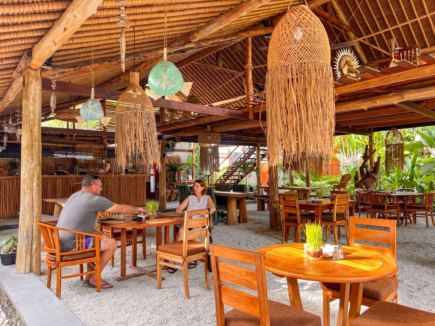
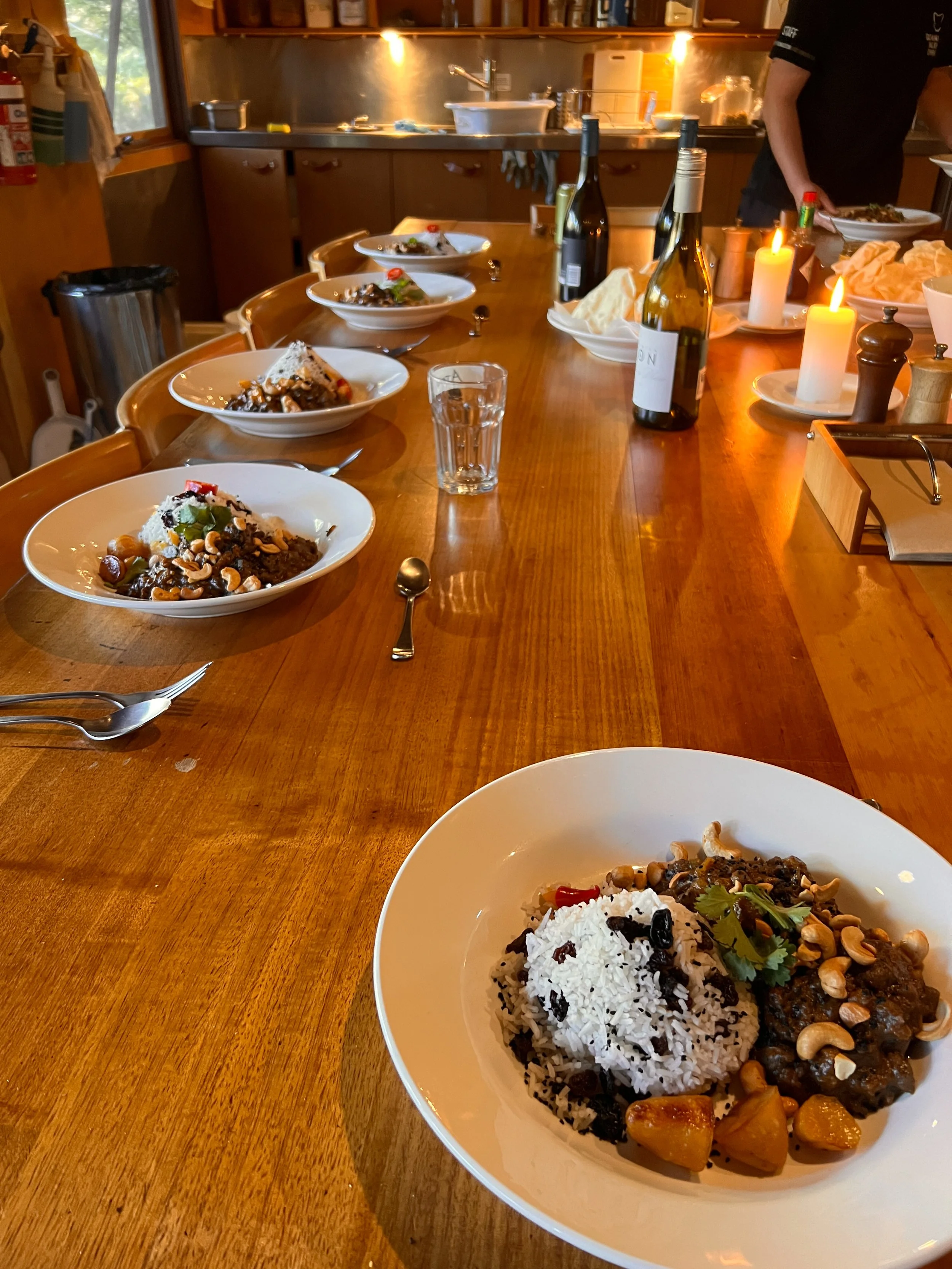
After another hearty breakfast — and once again feeling very fortunate that our version of hiking luxury replaced freeze-dried sachets with home-baked bread and steaming bowls of porridge — we soon find ourselves back on the track, moving through dry eucalypt and beech forest.
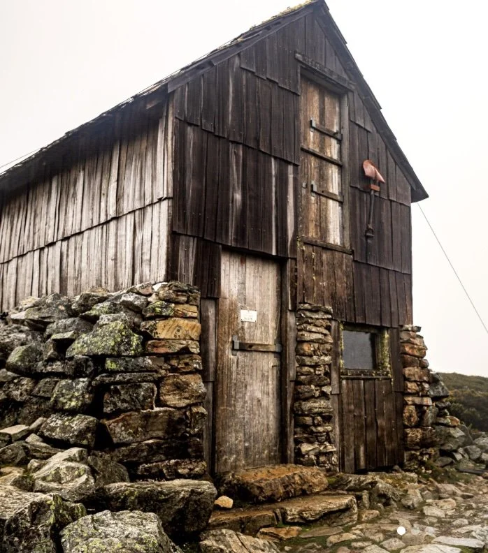
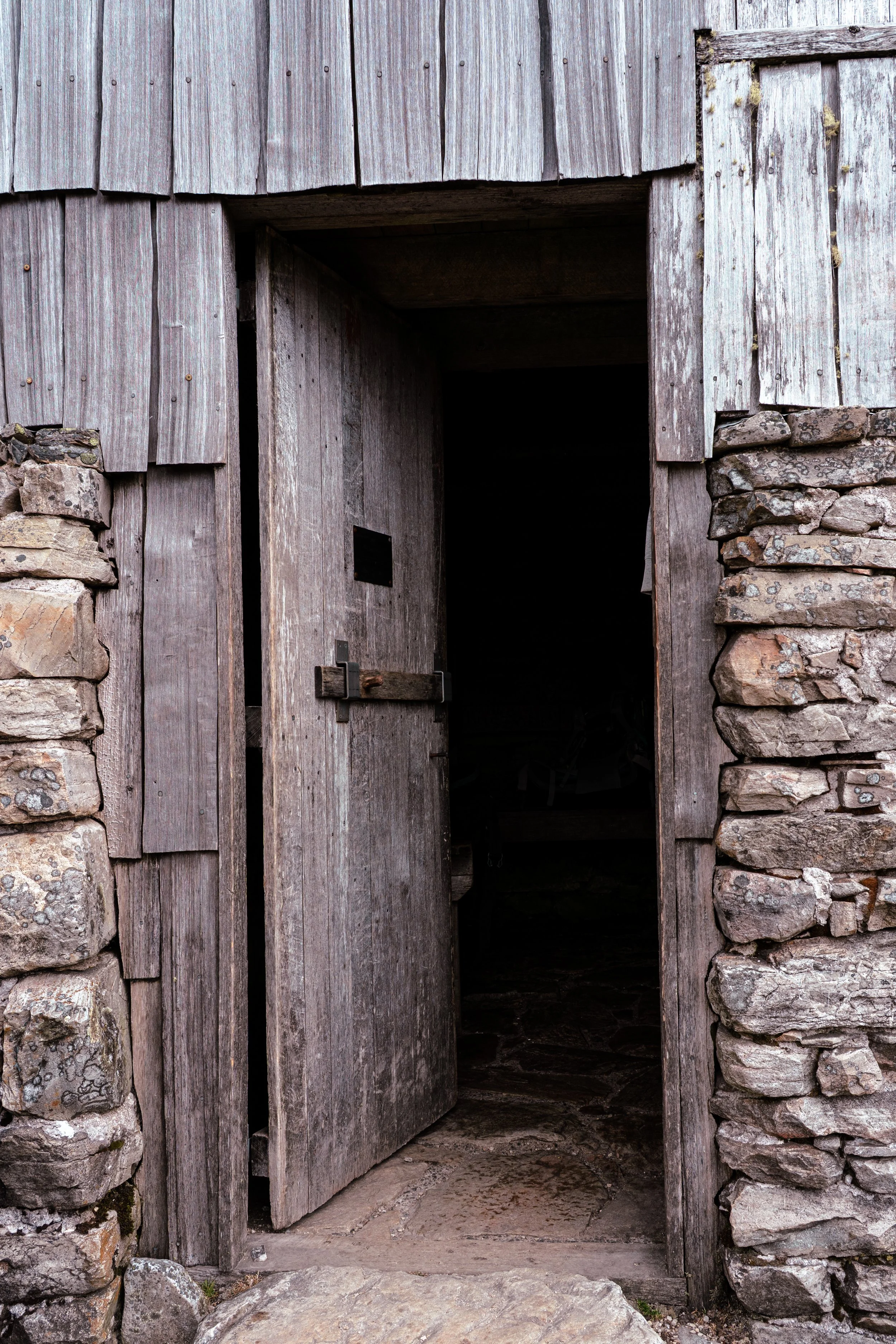
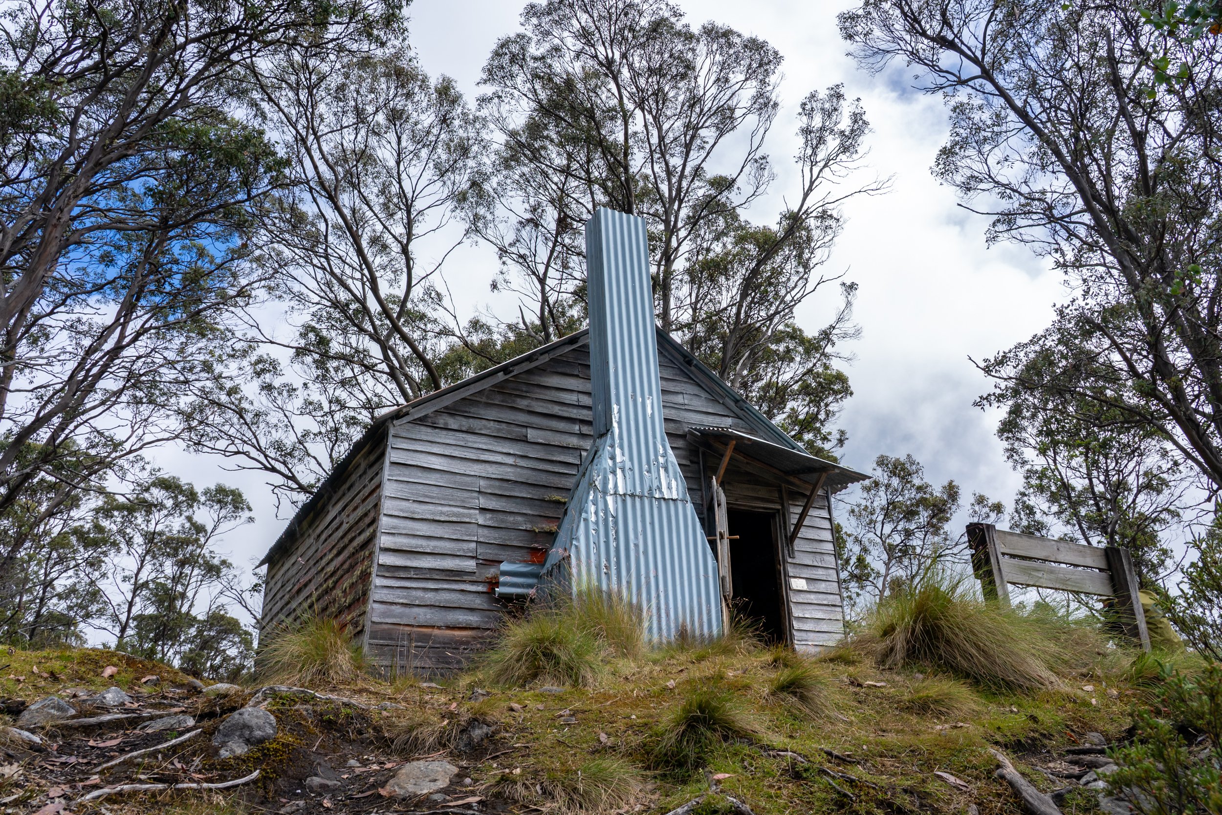
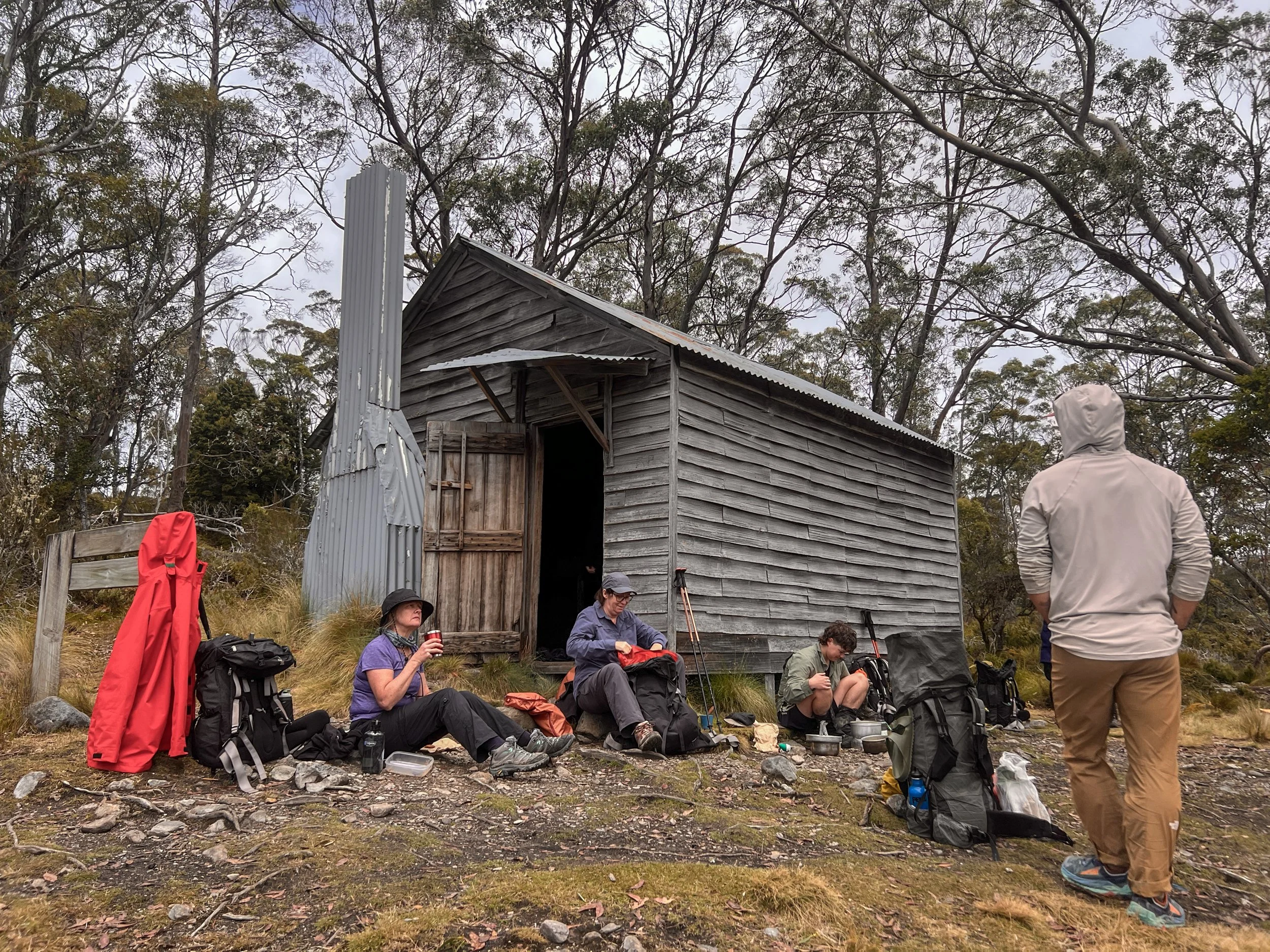
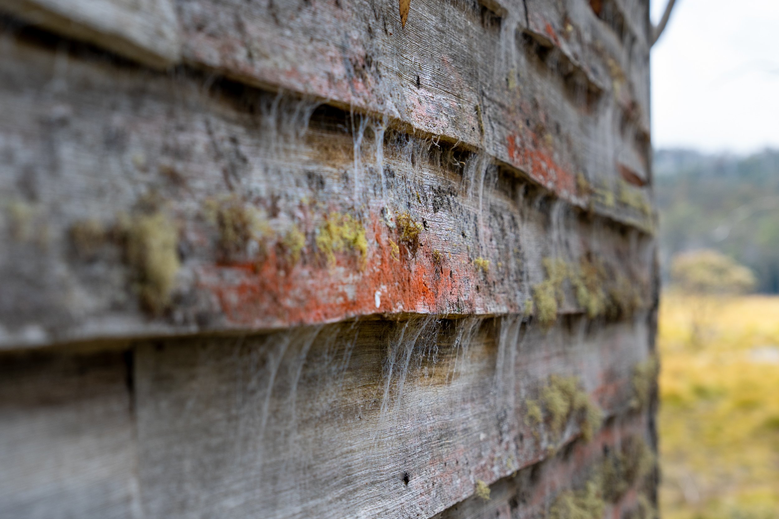
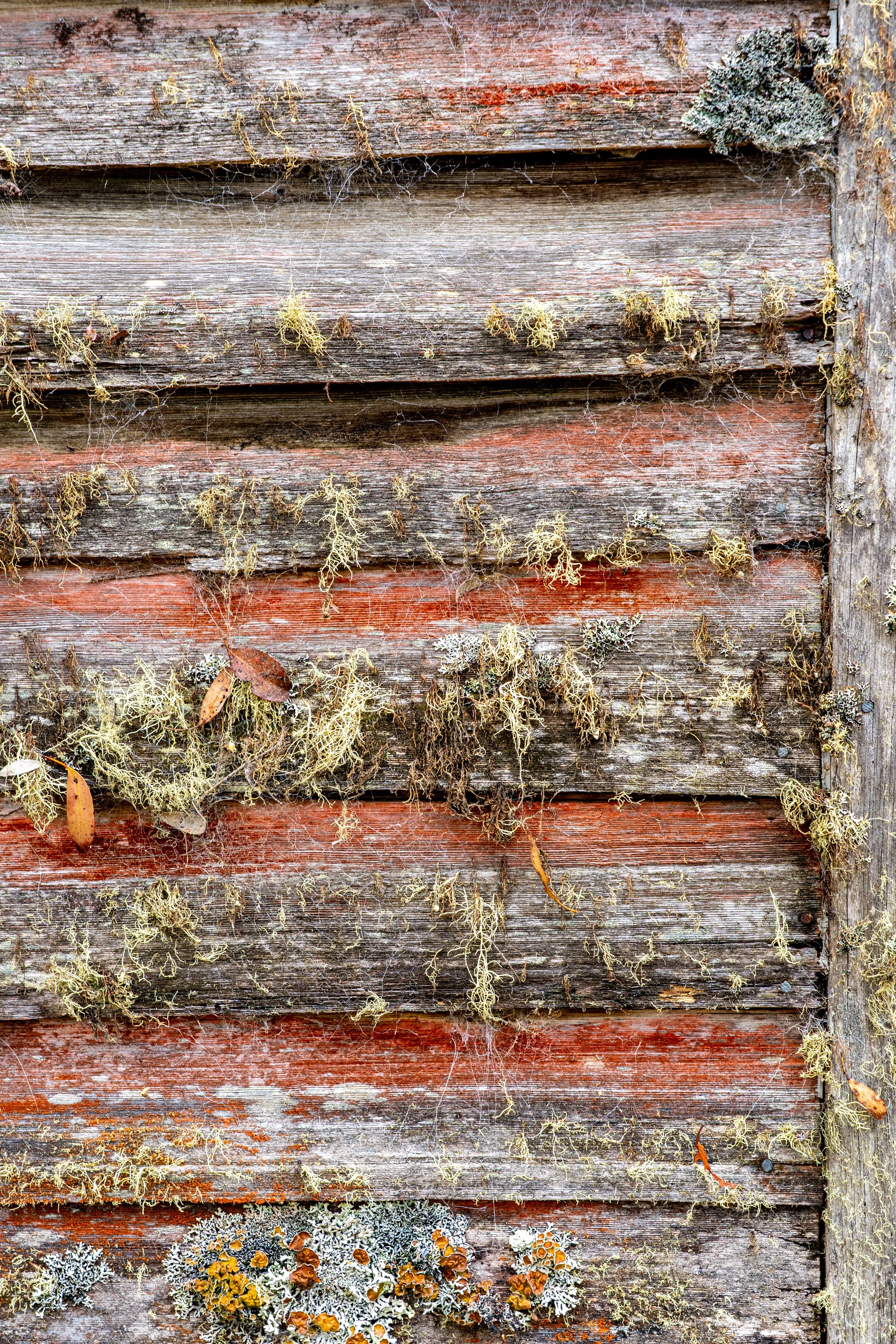
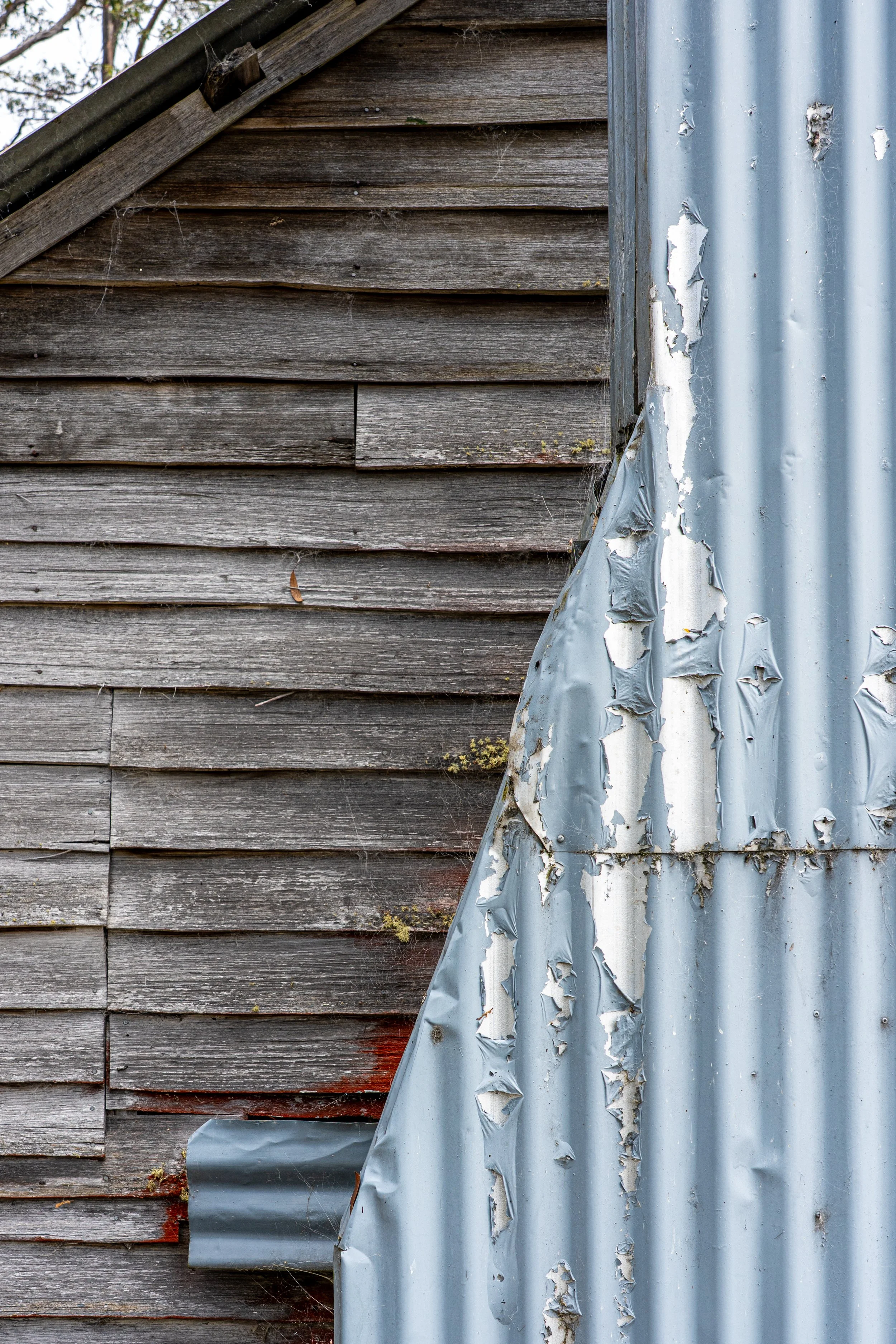
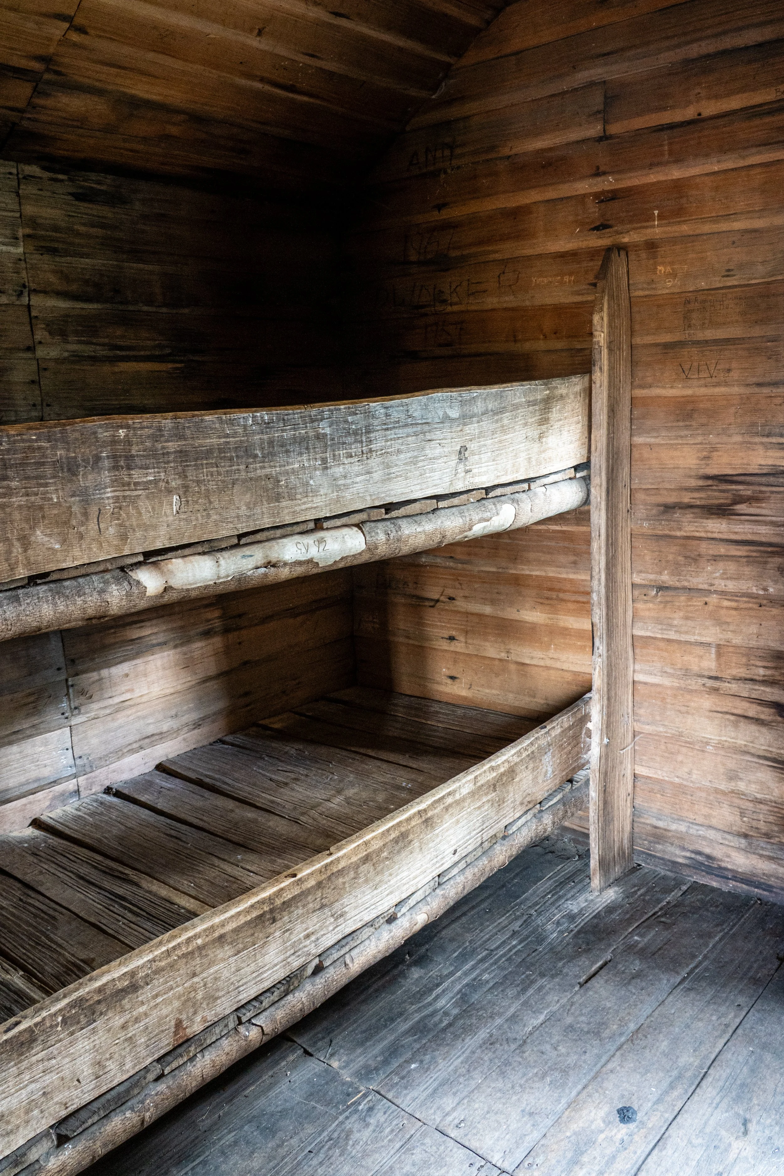
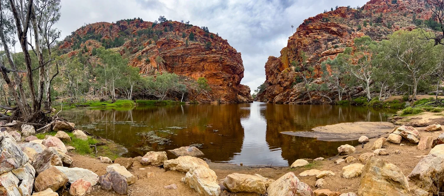
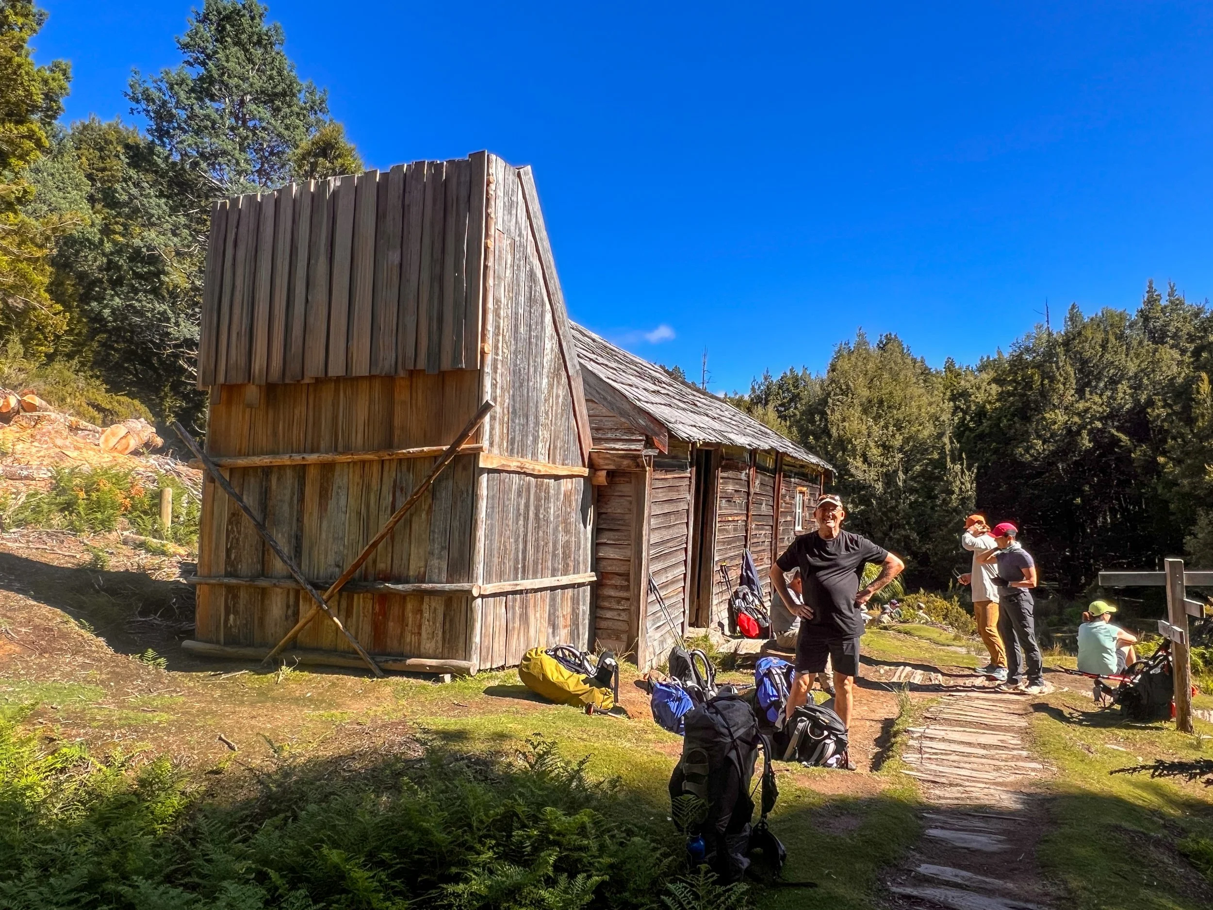
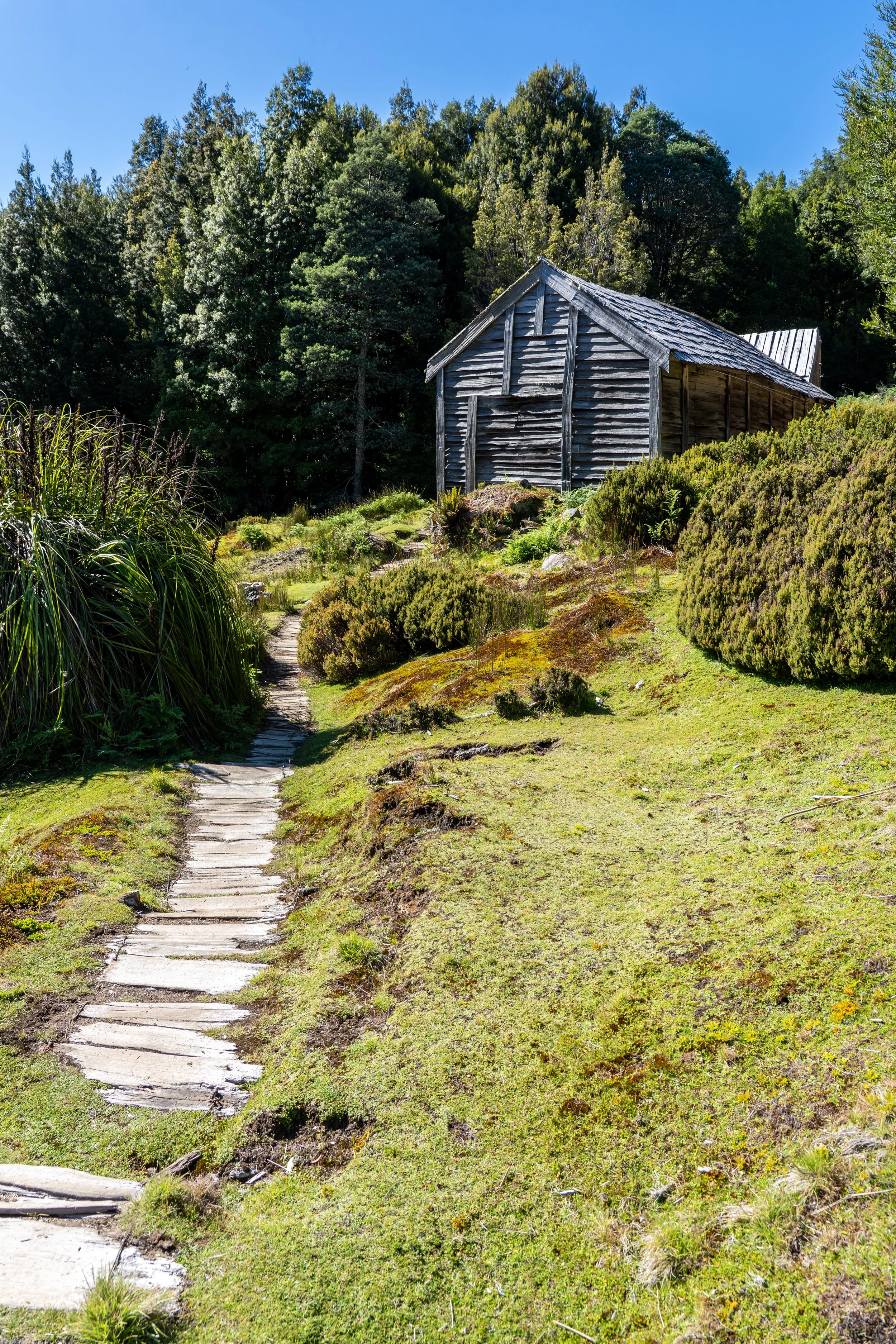
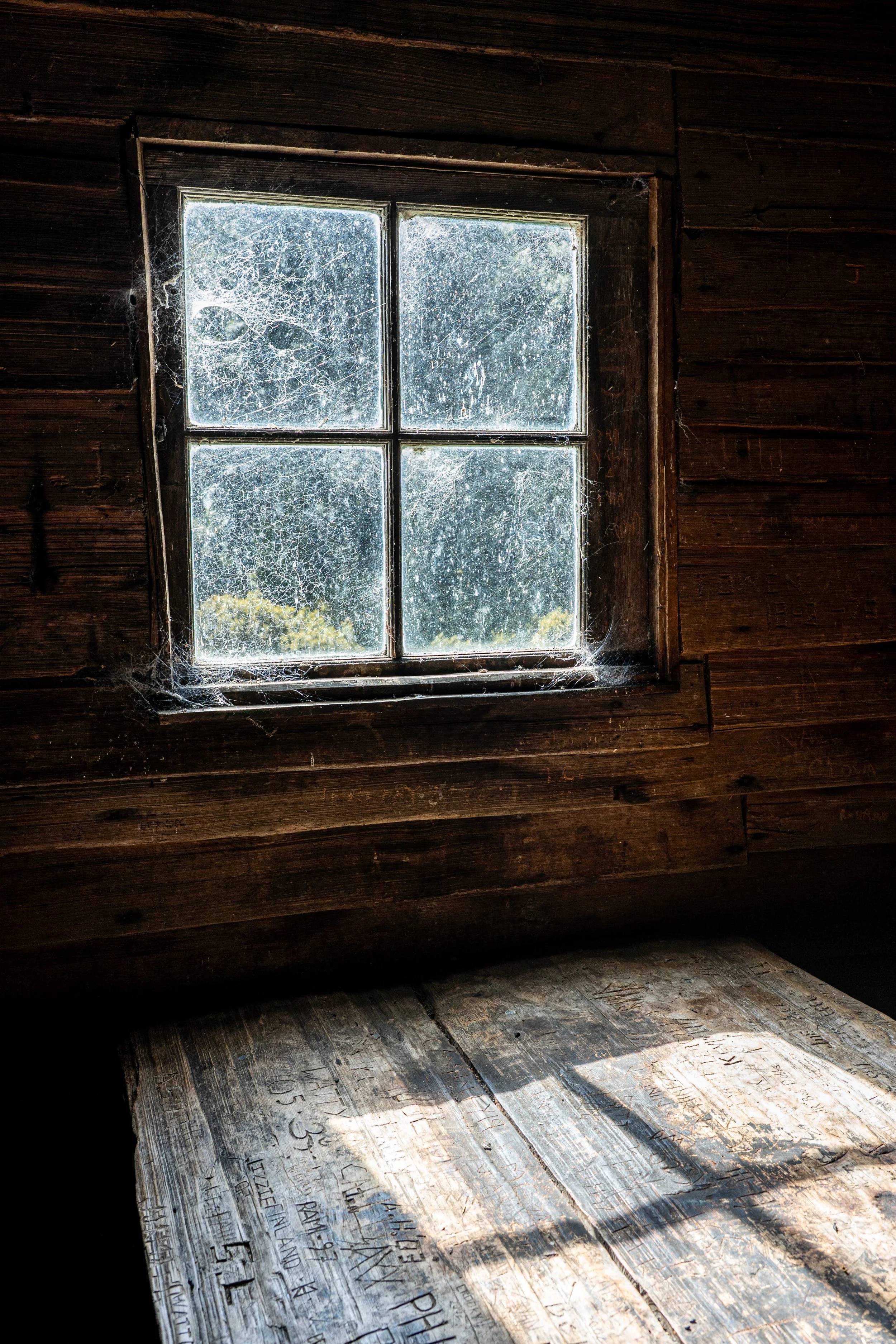
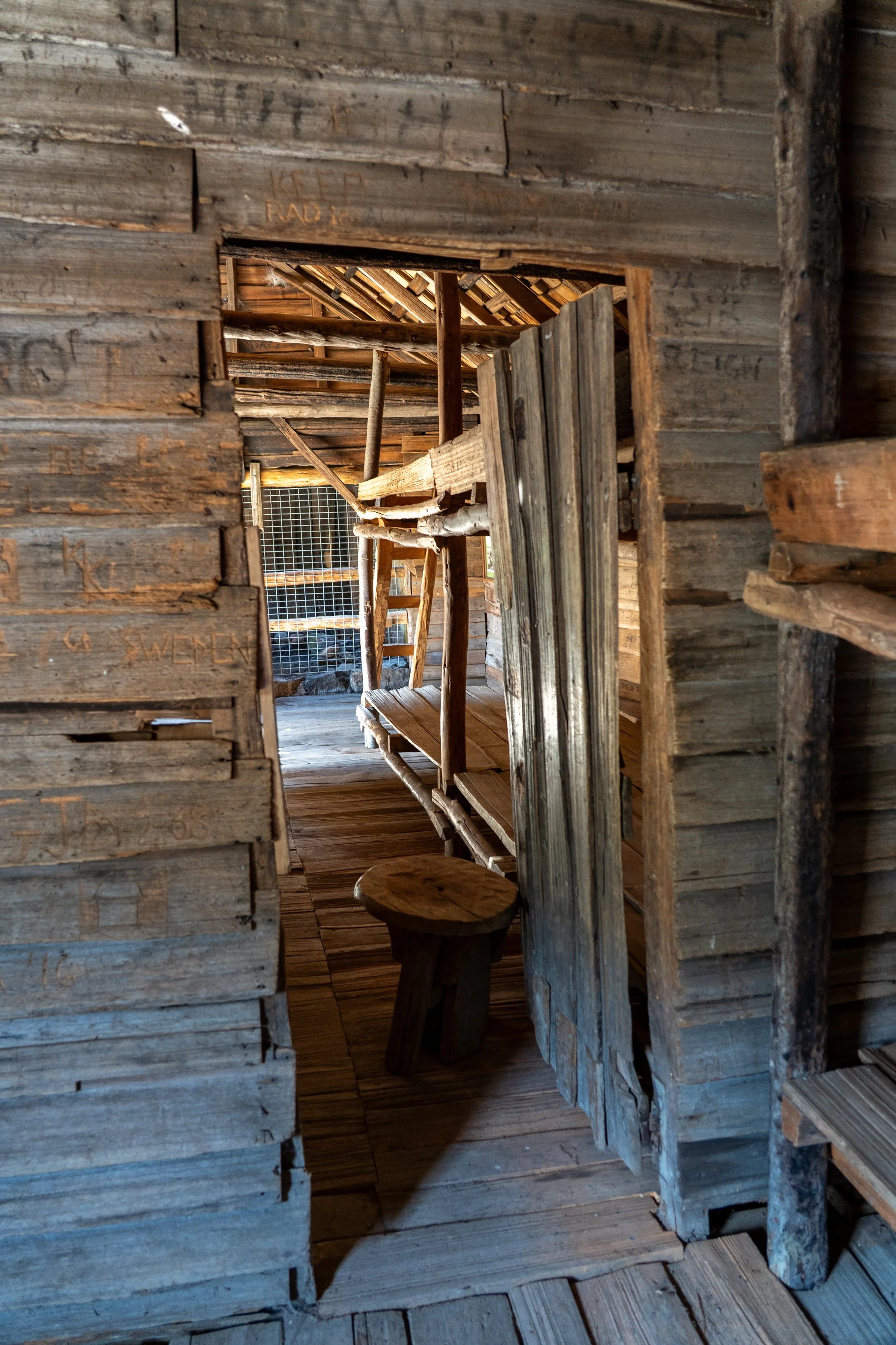
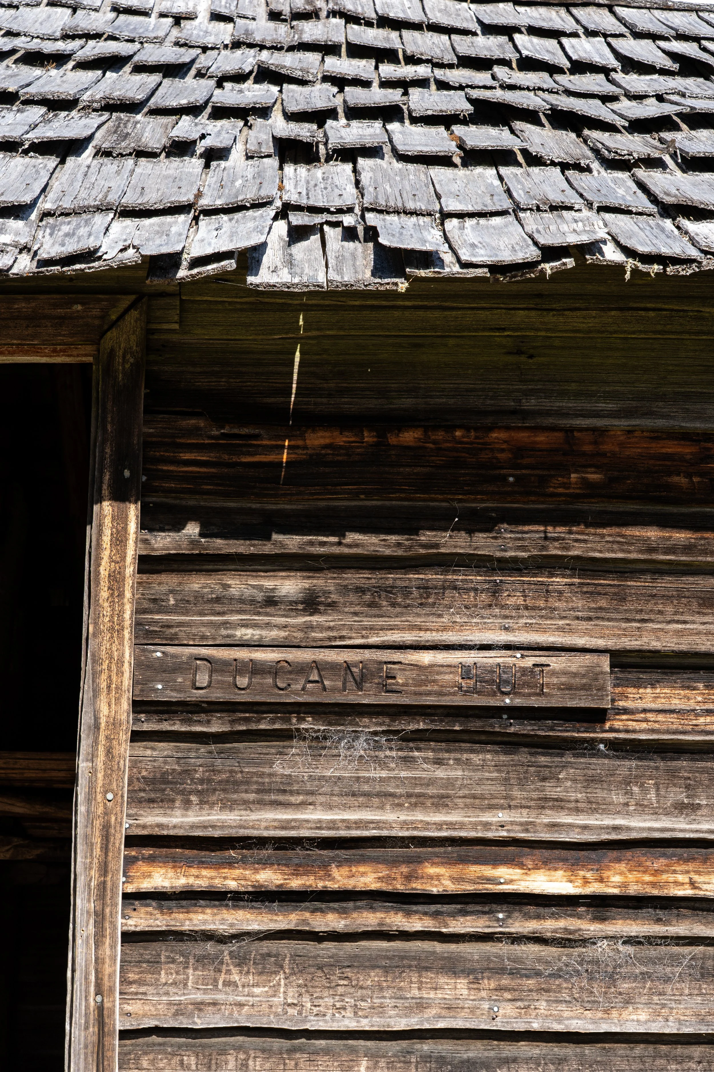
Crossing Kia Ora Creek, the trail climbs gradually until we reached the old Du Cane Hut. Built in 1910 by trappers, the hut is constructed entirely from split timber shingles, giving it a sturdy, but slightly crooked charm. Sitting in the grass beside the hut, our guide Braydon begins spinning another one of his yarns - somewhere between history lesson and tall tale.
Bert Nicholls and Paddy Hartnett were fur trappers working Tasmania’s rugged high country in the early 1900s, long before anyone considered wilderness something you visited for fun. Unlike us, their packs were filled with animal pelts rather than spare socks and camera gear. Their traplines ran through the Pelion and Du Cane ranges along rough routes that would eventually evolve into sections of the Overland Track. They built huts where they could — not for comfort but for survival — rough shelters of timber walls, smoky fires and gaps large enough to let snow drift inside.
Paddy Hartnett’s story ended less romantically; he died in 1944 after years of hard living, alcoholism and retreating into near-hermit life. As with all good bush yarns (including the one about the bath tub), it was difficult to tell where the facts ended and the embellishments began.
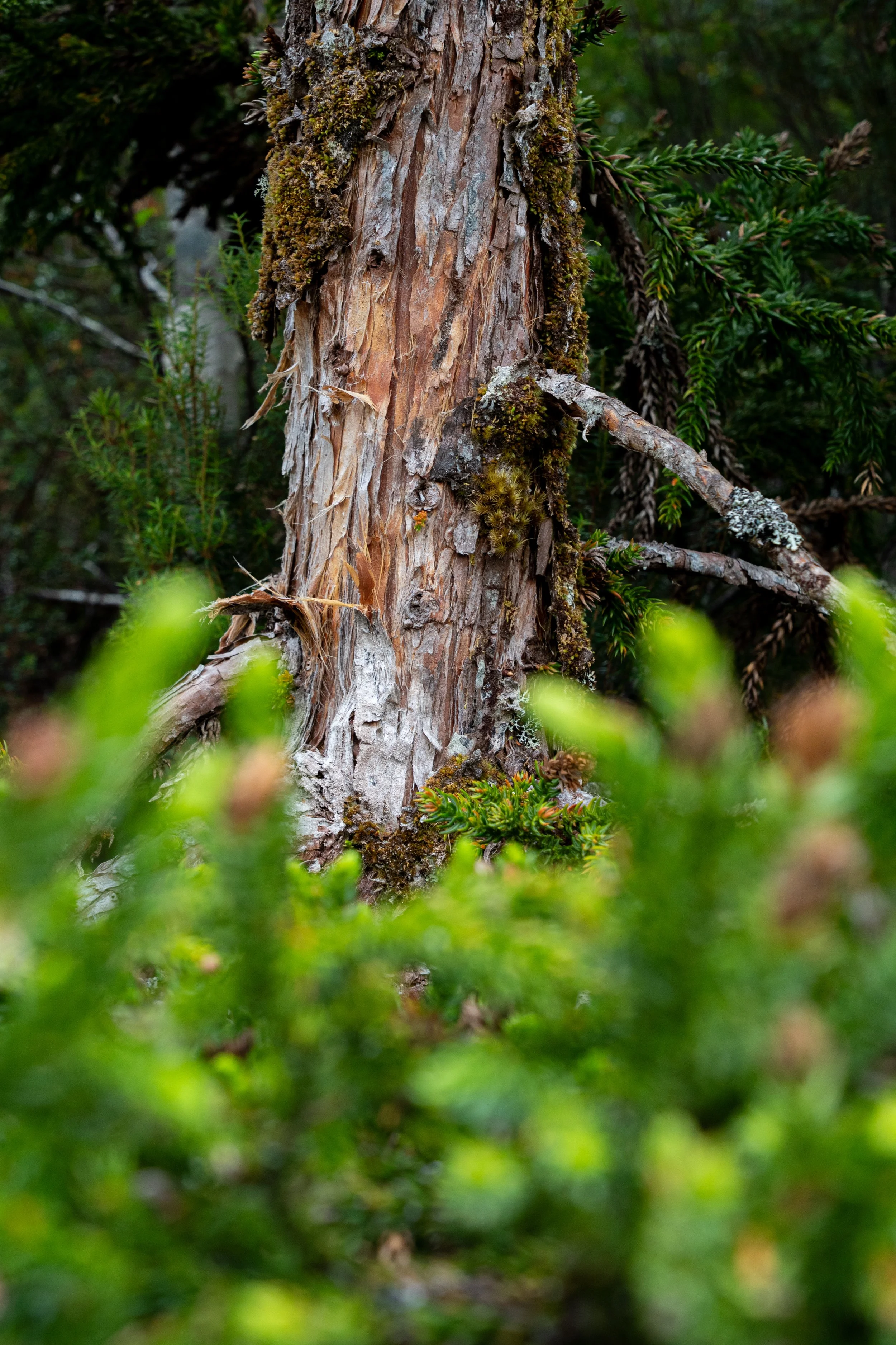
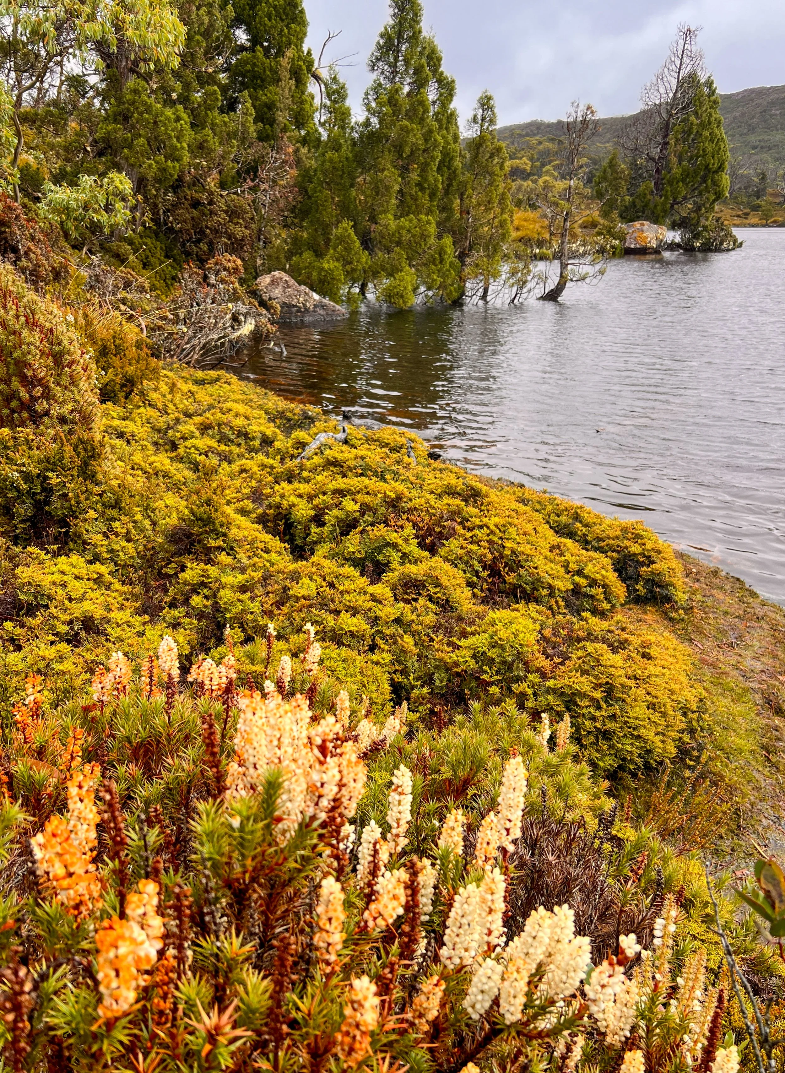
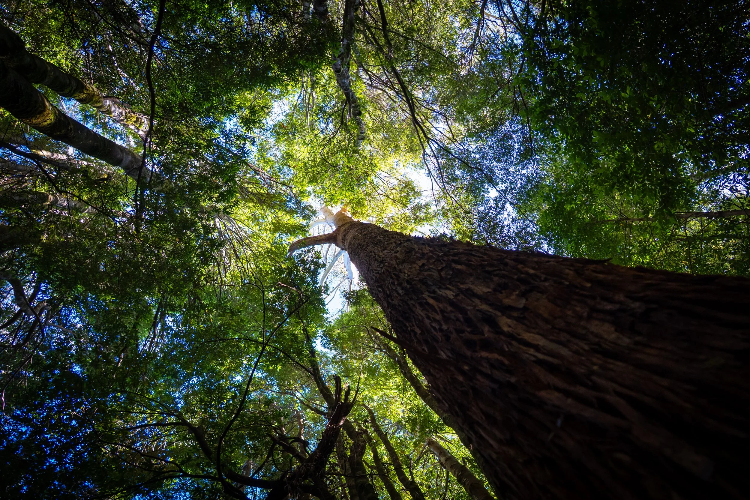
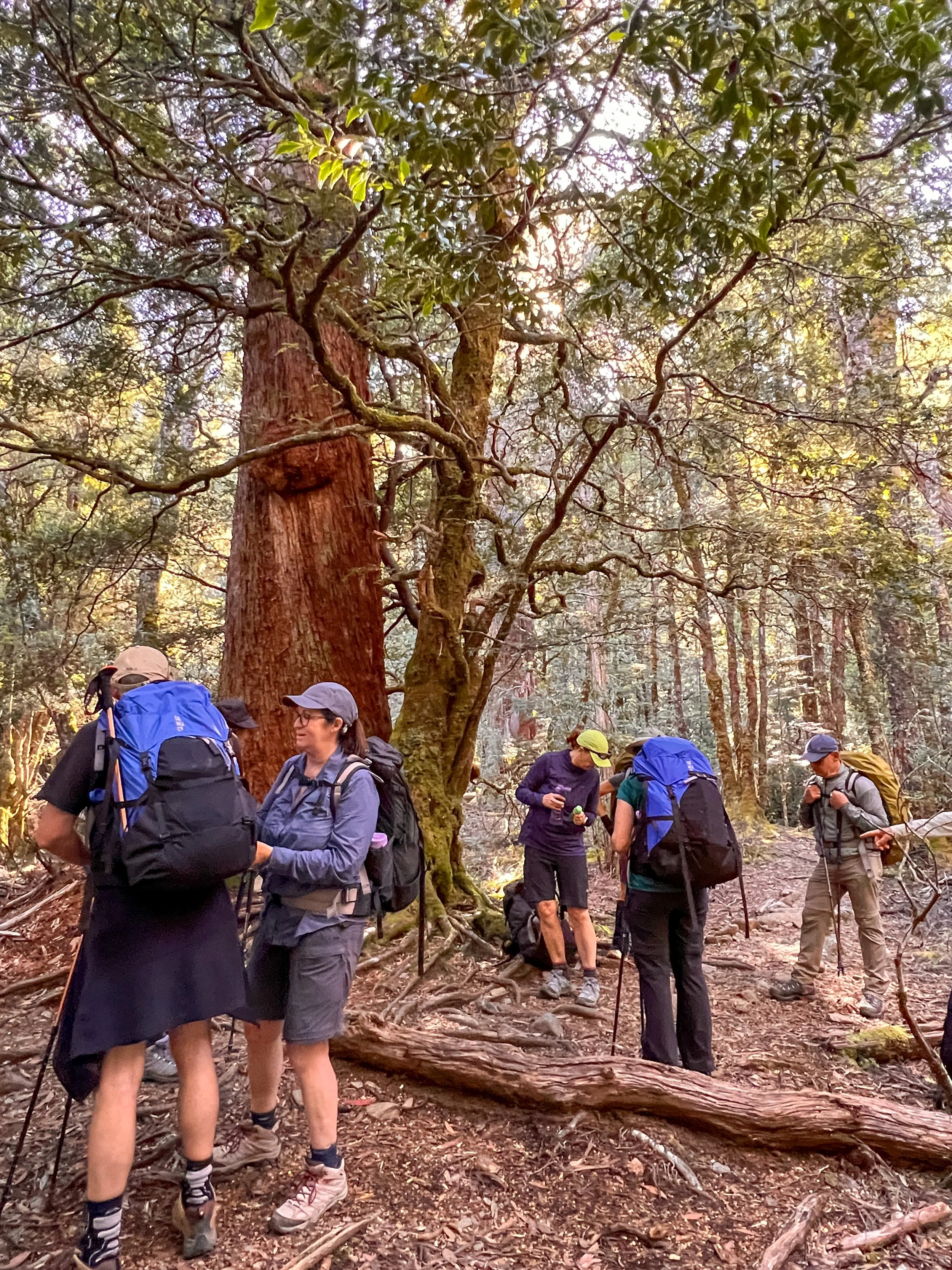
Leaving the hut behind, the track meanders gently onward along more fundulations — the constant rise and fall changing the vegetation with it. At one point we stop beside a colossal King Billy pine, ancient and towering, its age impossible to determine without tree rings. These trees evolved long before much of Australia’s modern fauna and remain living remnants of the ancient Gondwanan forests.
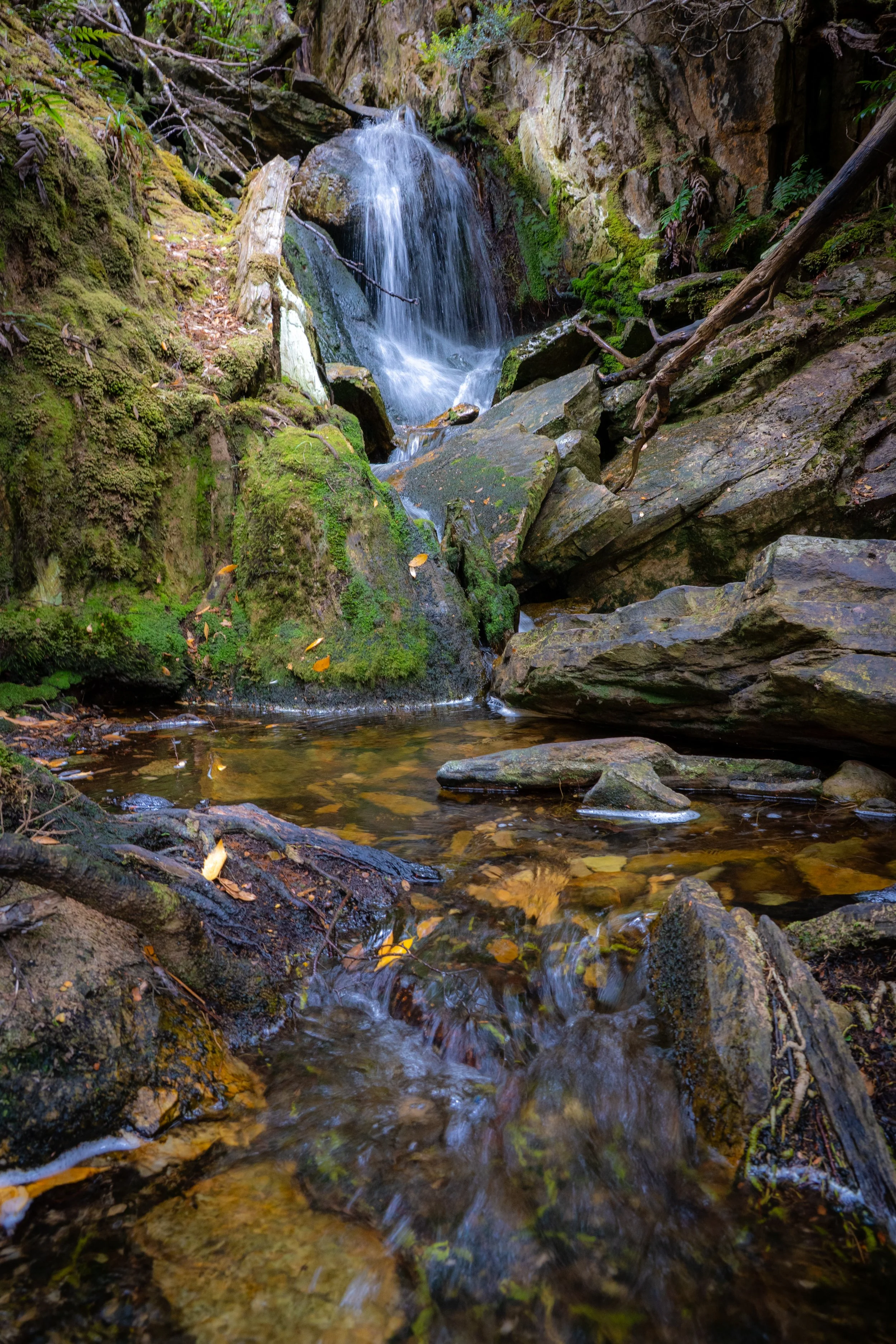
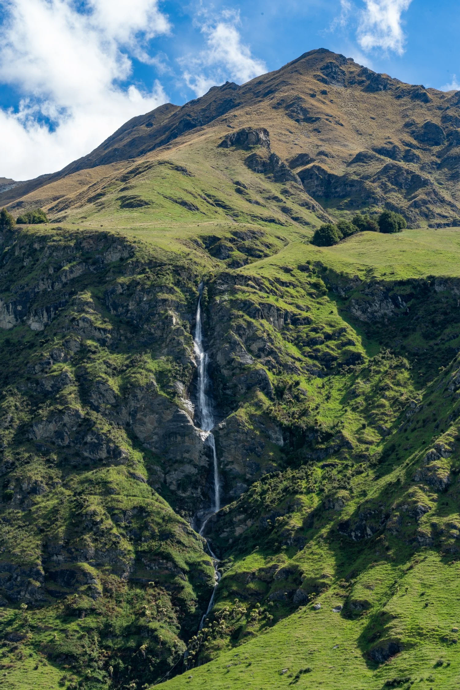
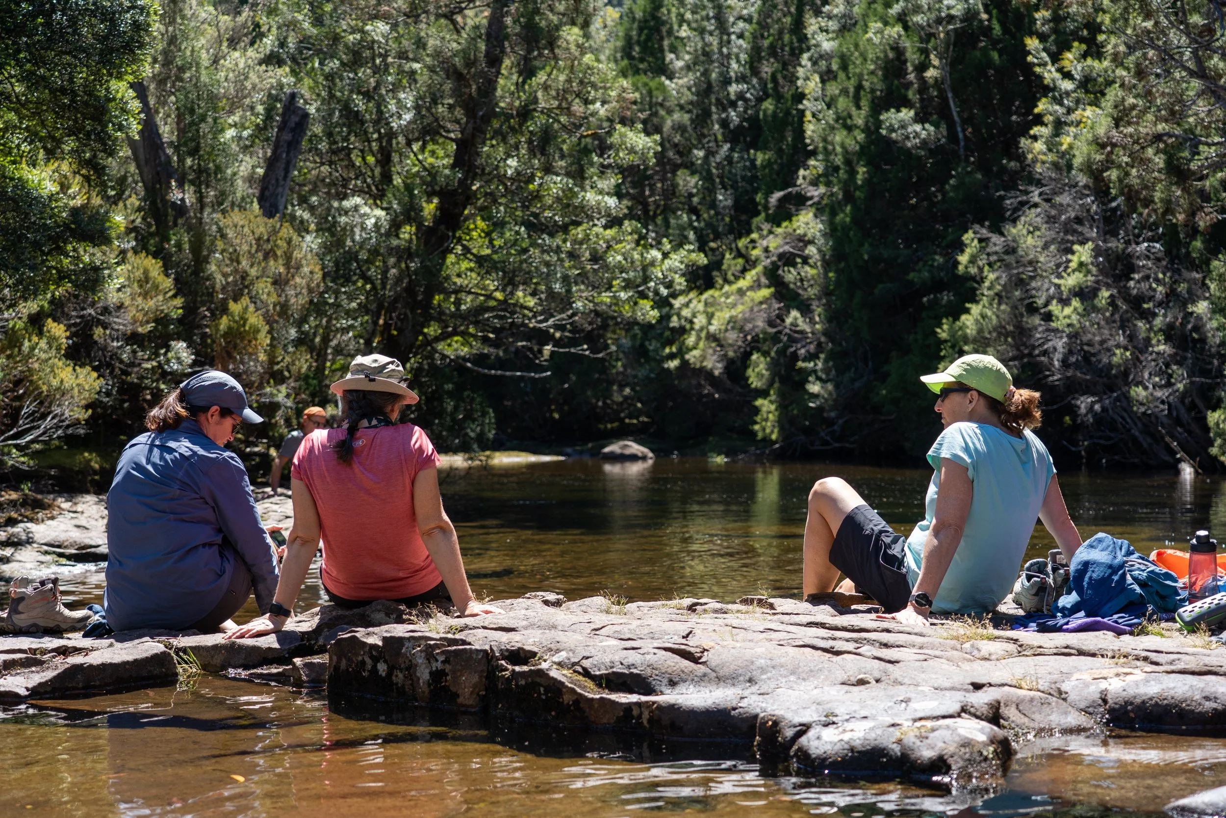
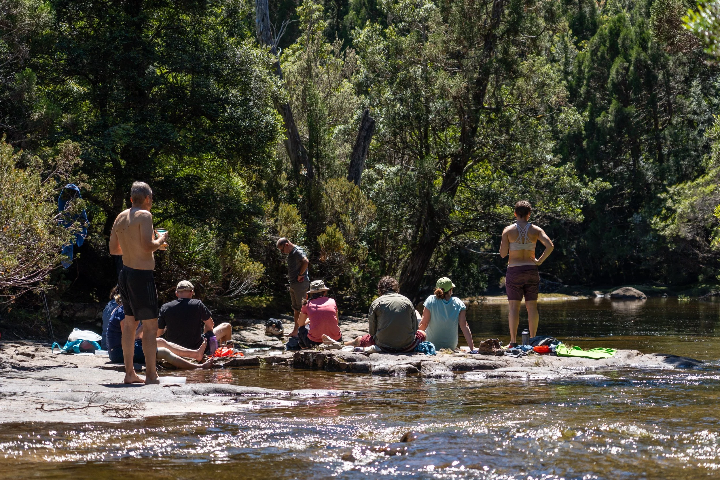
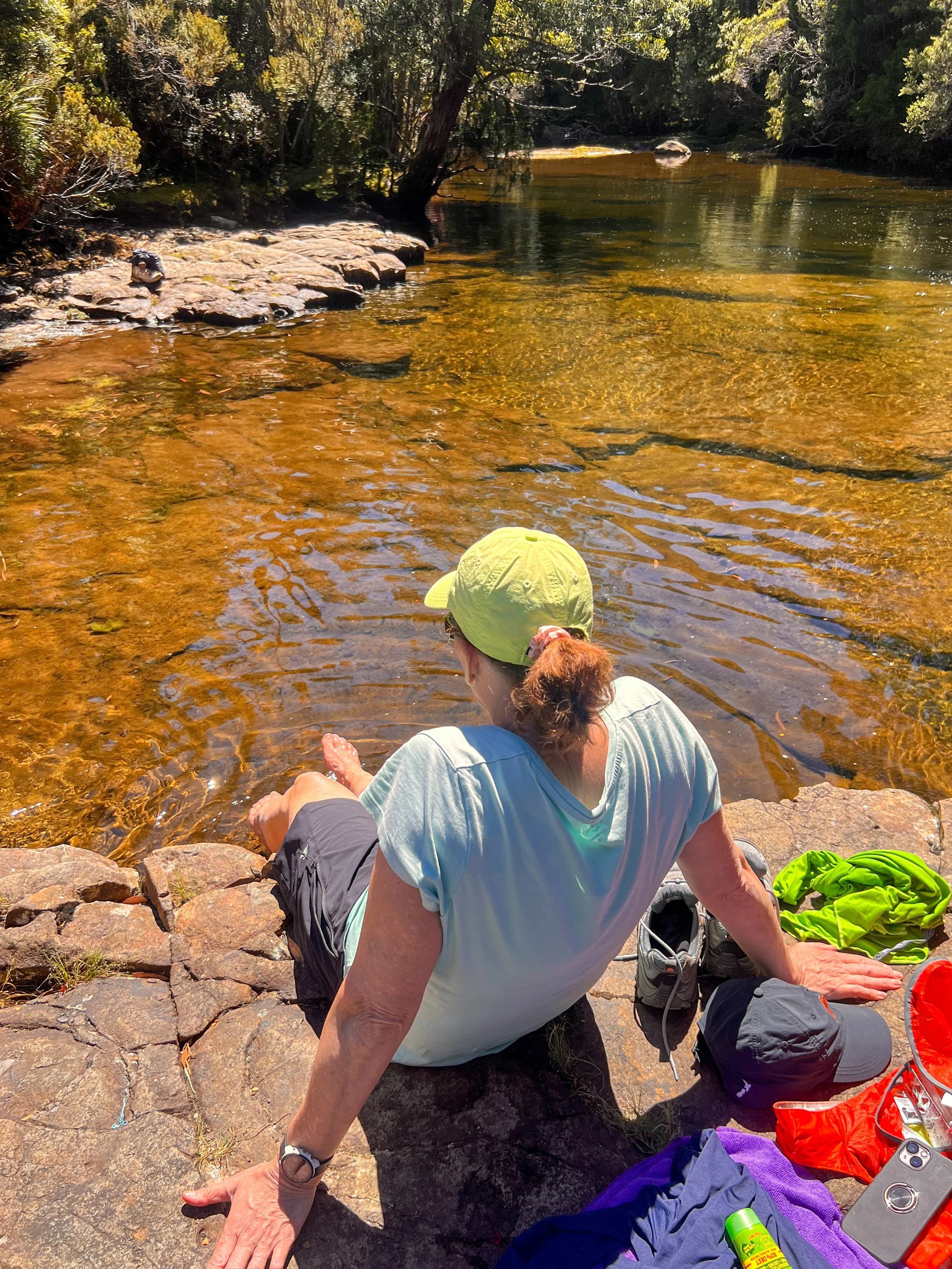
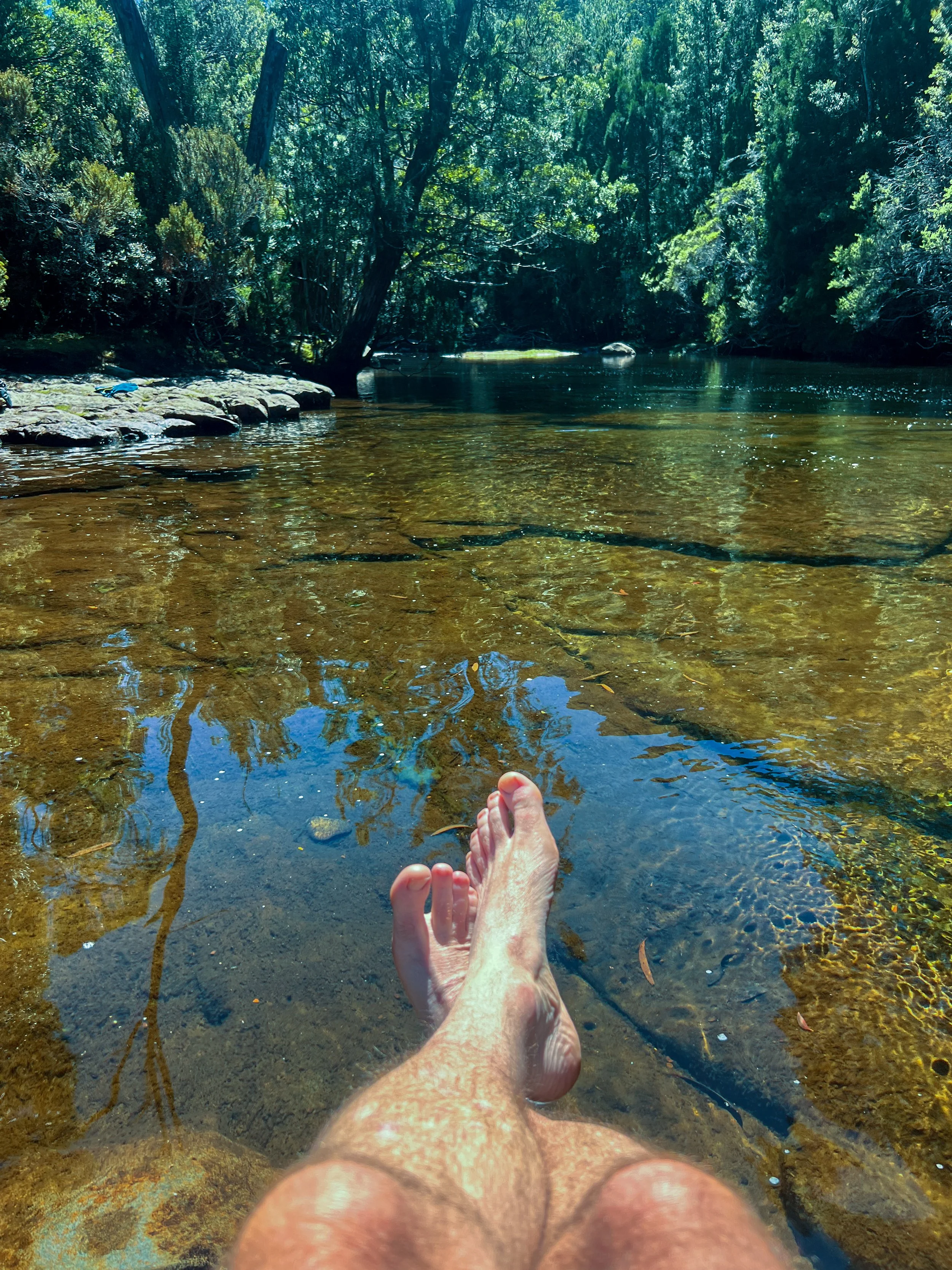
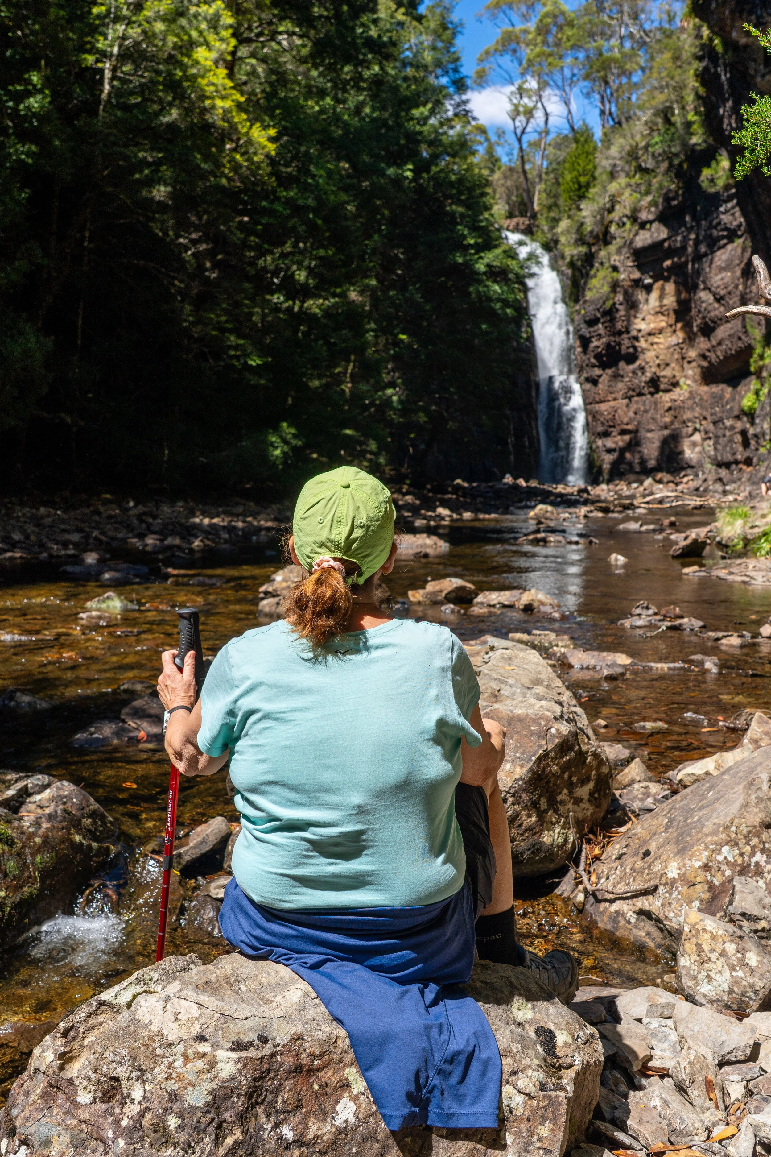
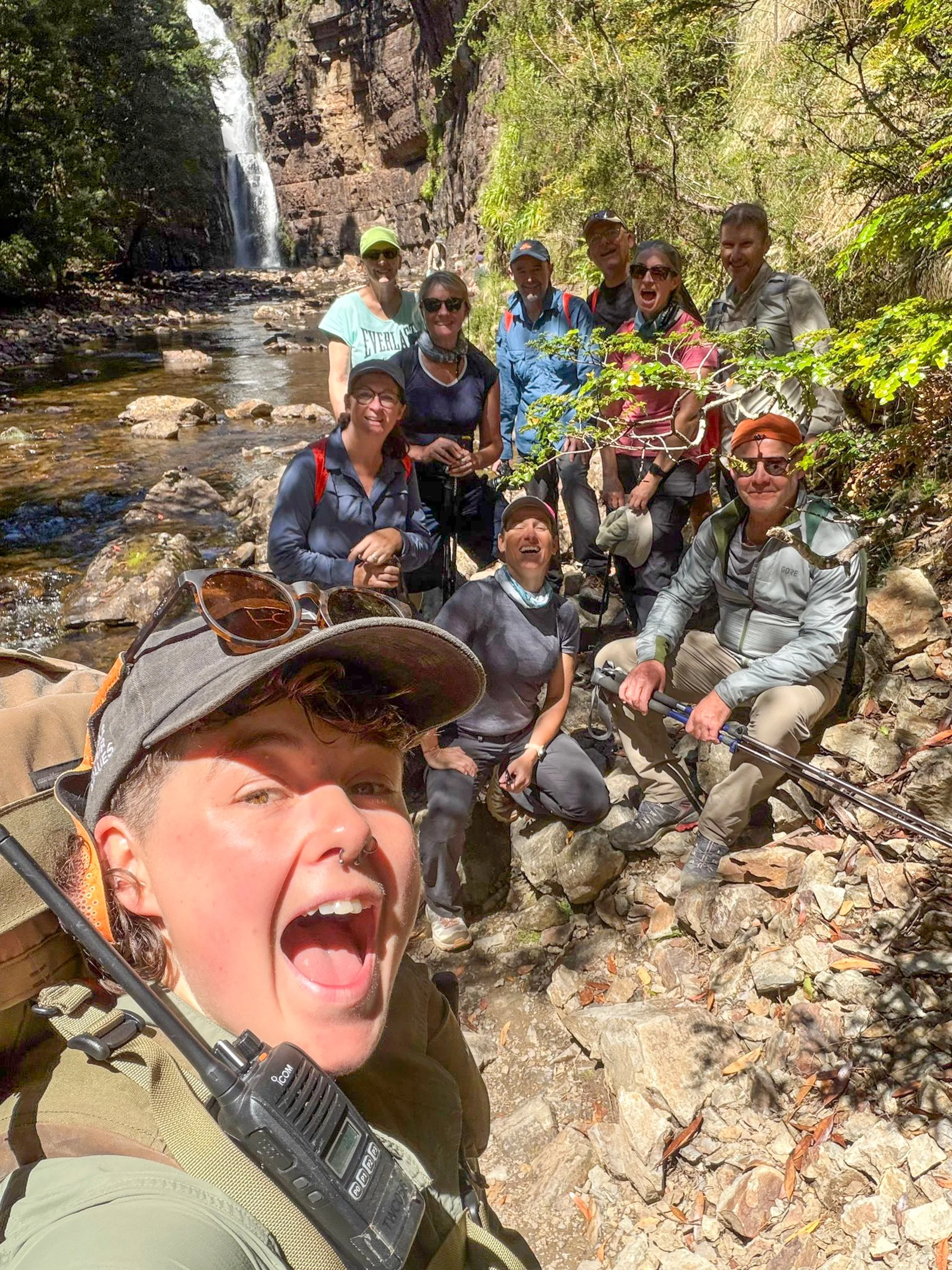
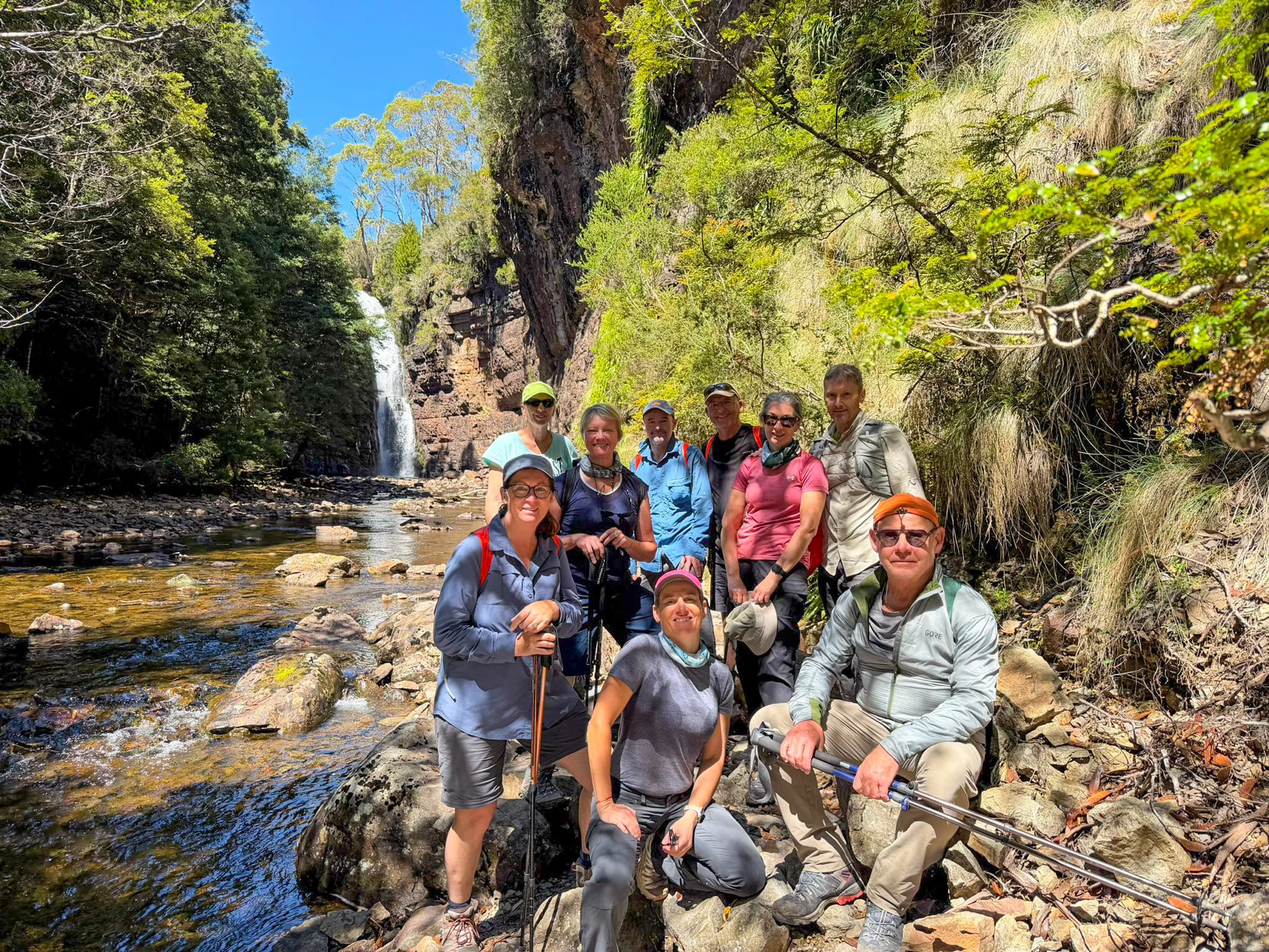
With lunch approaching, we drop our packs and grab a small daypack for the two-kilometre return detour down to Hartnett Falls. Reaching the top of the falls was the perfect spot for luch: smooth rocks, clear water and the gentle rush of the Mersey River sliding past.
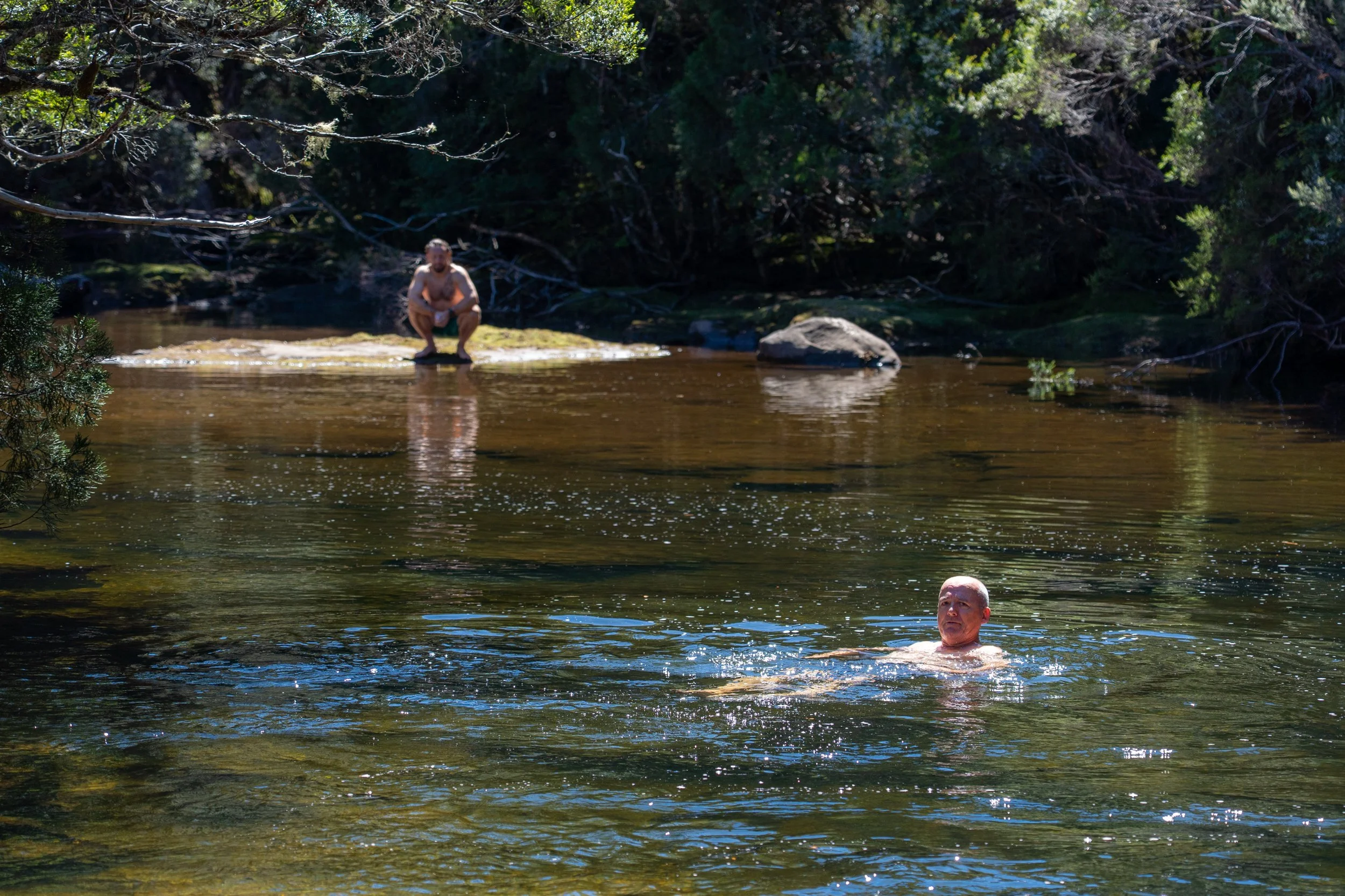
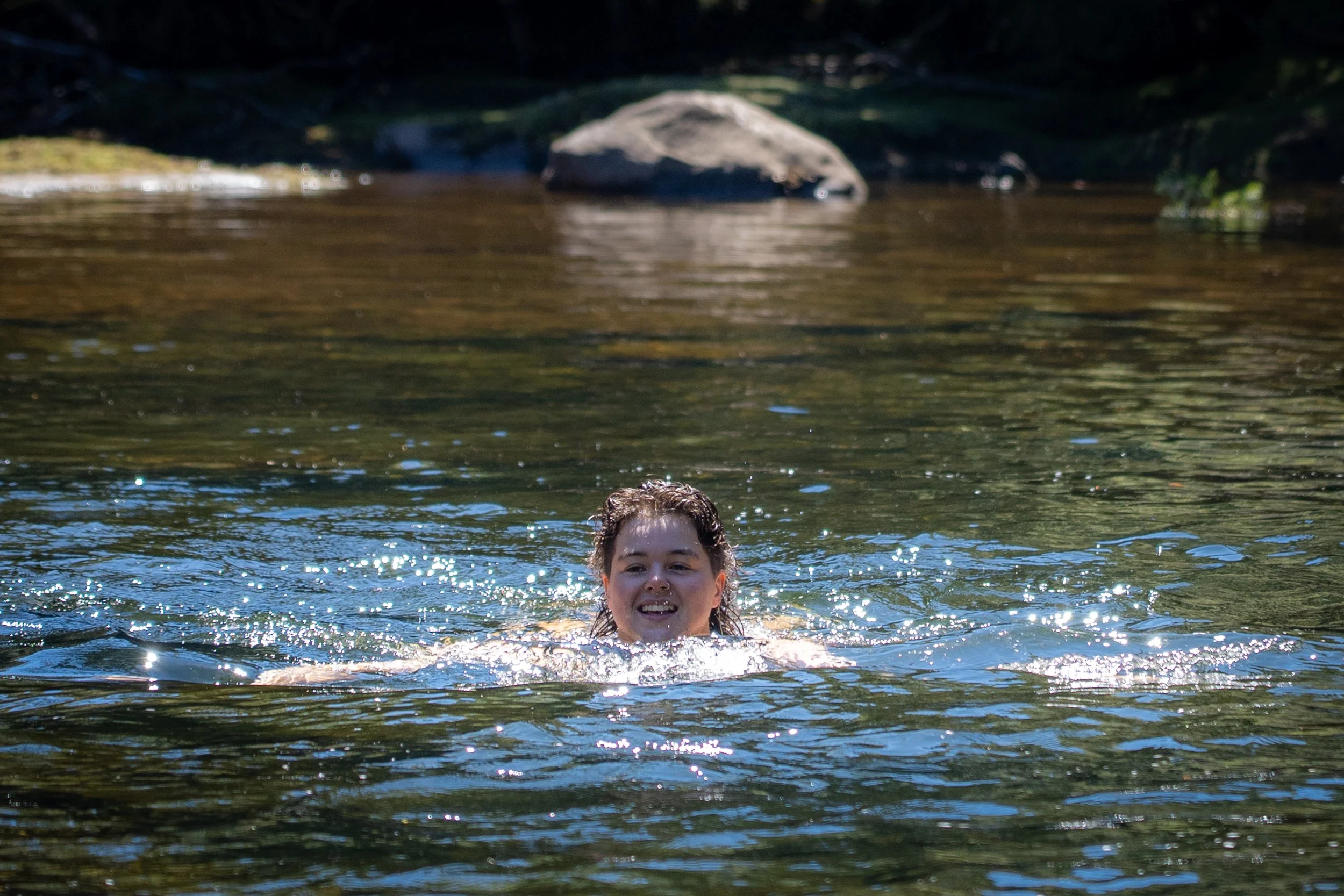
Dangling our feet in the shallow water is enough to send them numb almost instantly, but a few of us — either brave or foolish — decide that if we’d come this far, we might as well go for a swim.
“Swimming” is perhaps a generous term.
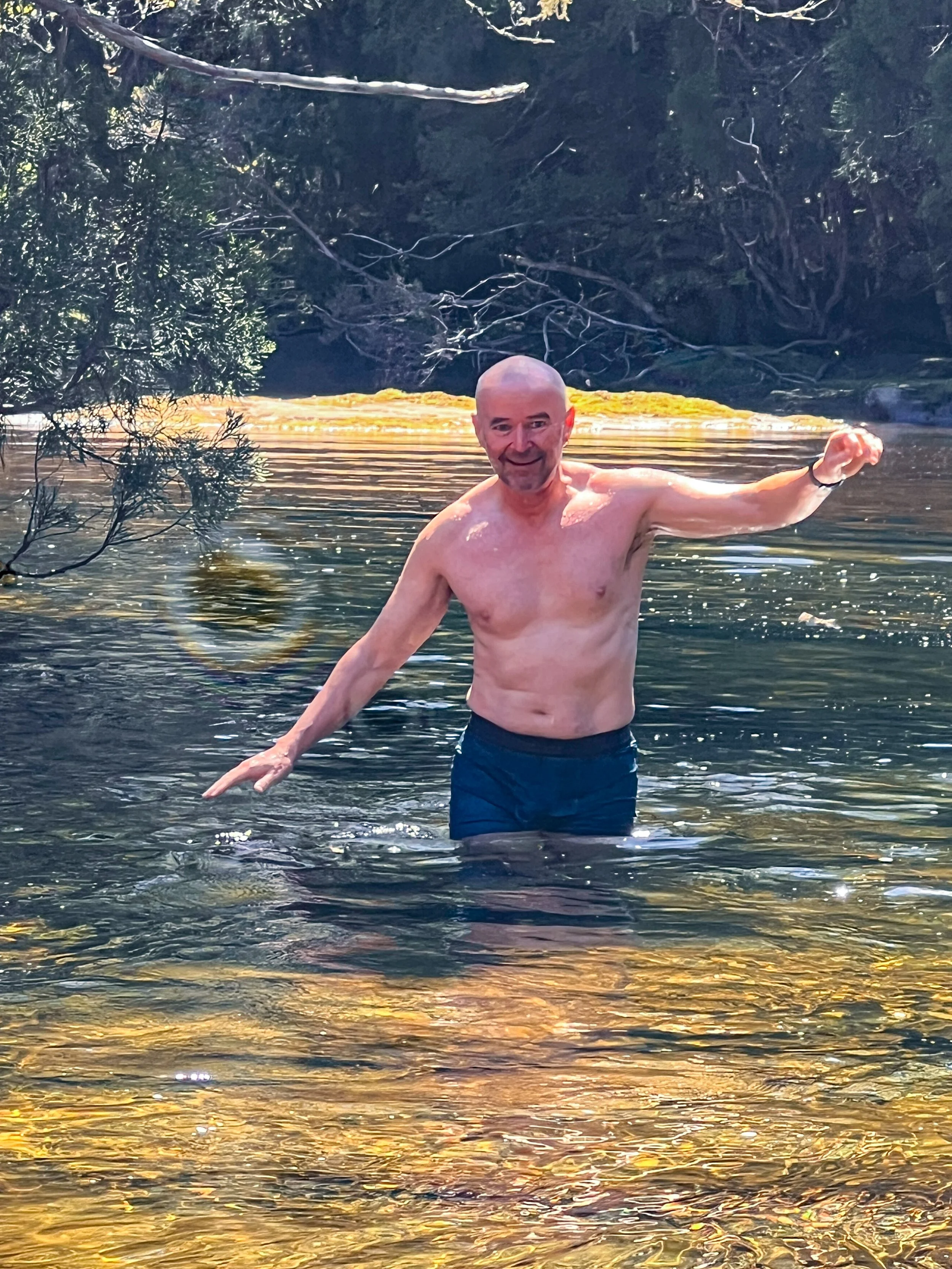
Finally summoning the courage, I plunge into the glacial water. The cold detonated through my body like electricity. My lungs forgot how to function, my soul attempted an emergency evacuation, and I experienced what scientists call panic! Moments later I scrambled back out of the water shrieking and thinking myself lucky for already having children.
After defrosting in the sun like a contented lizard, we wander down to the base of the falls where the water spills over dark rock in a gleaming ribbon of white spray.
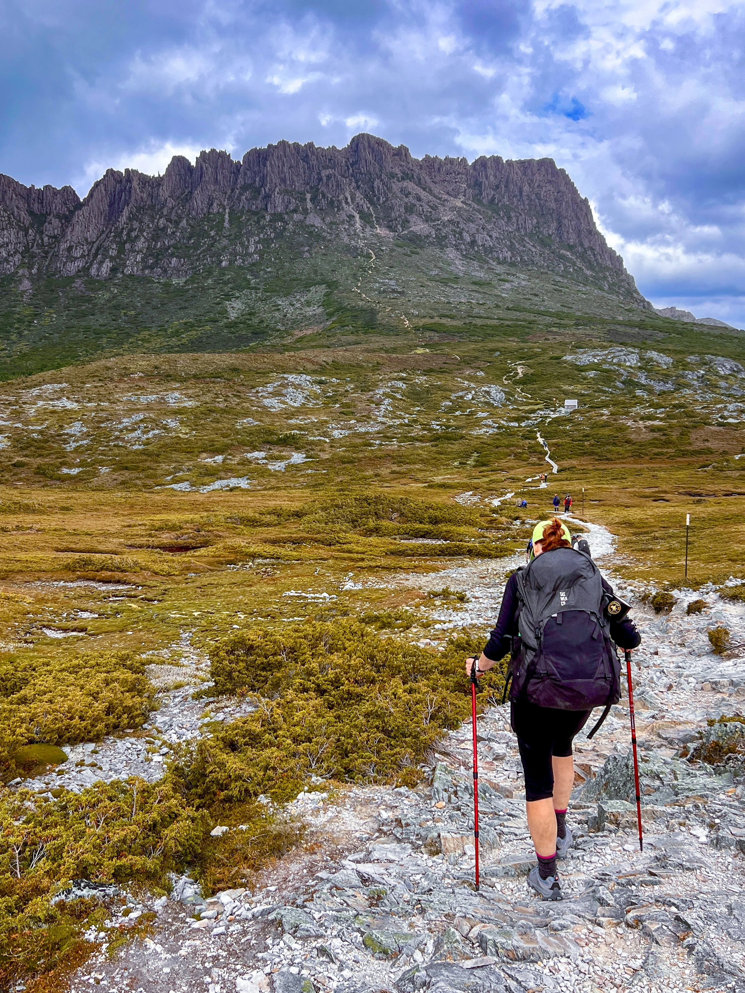
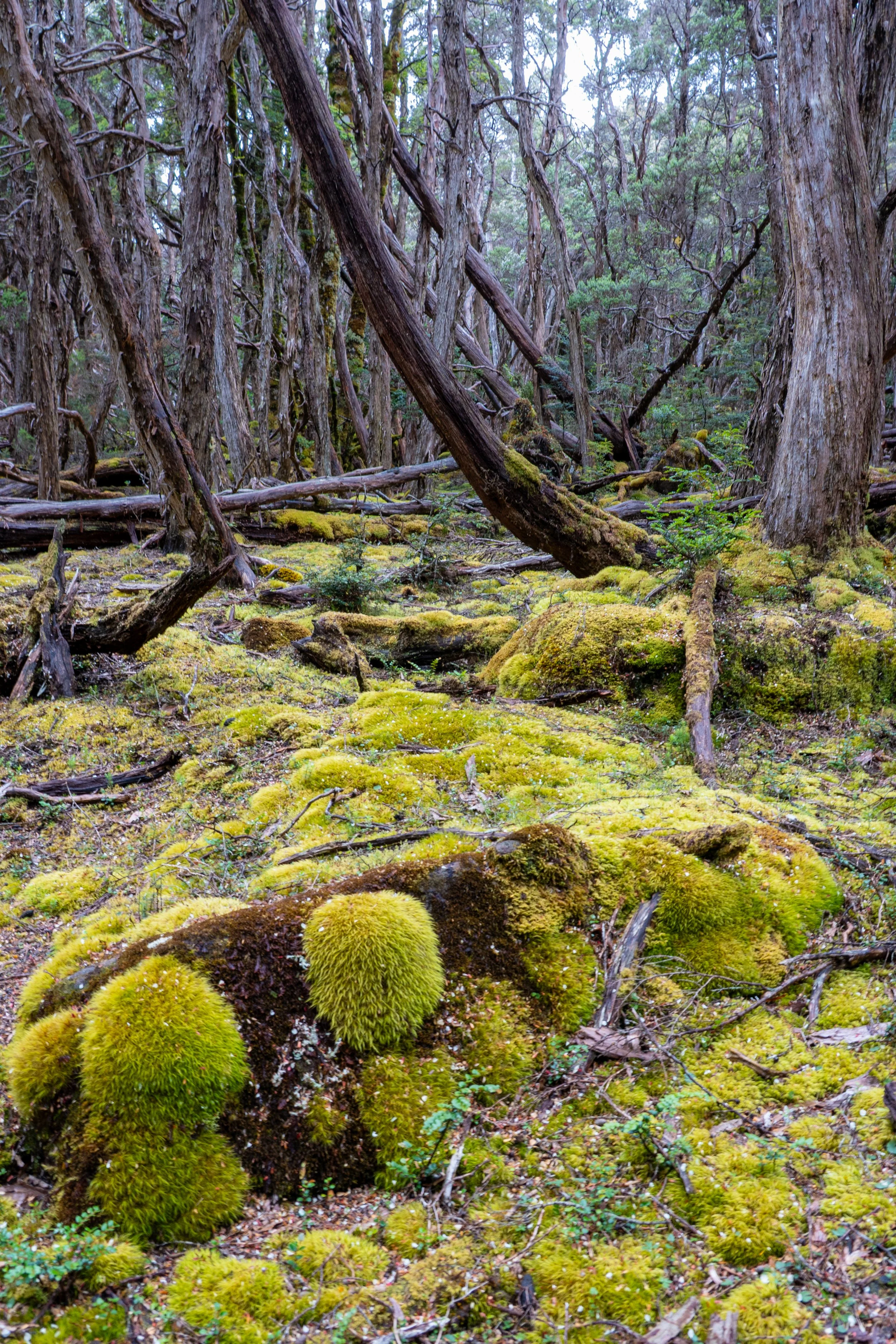
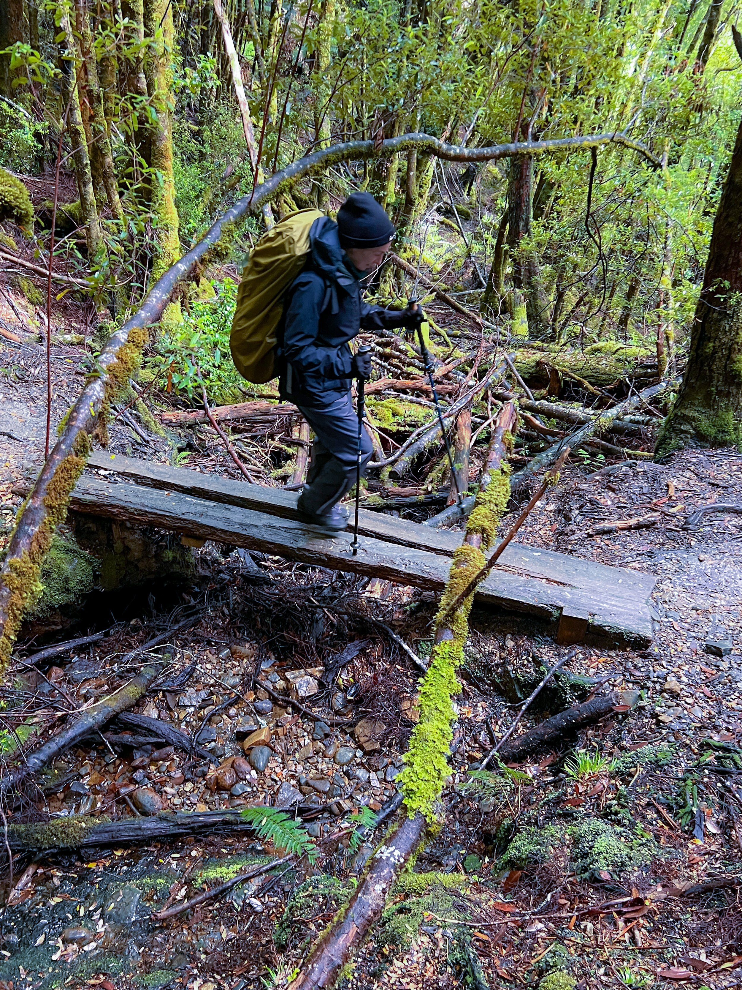
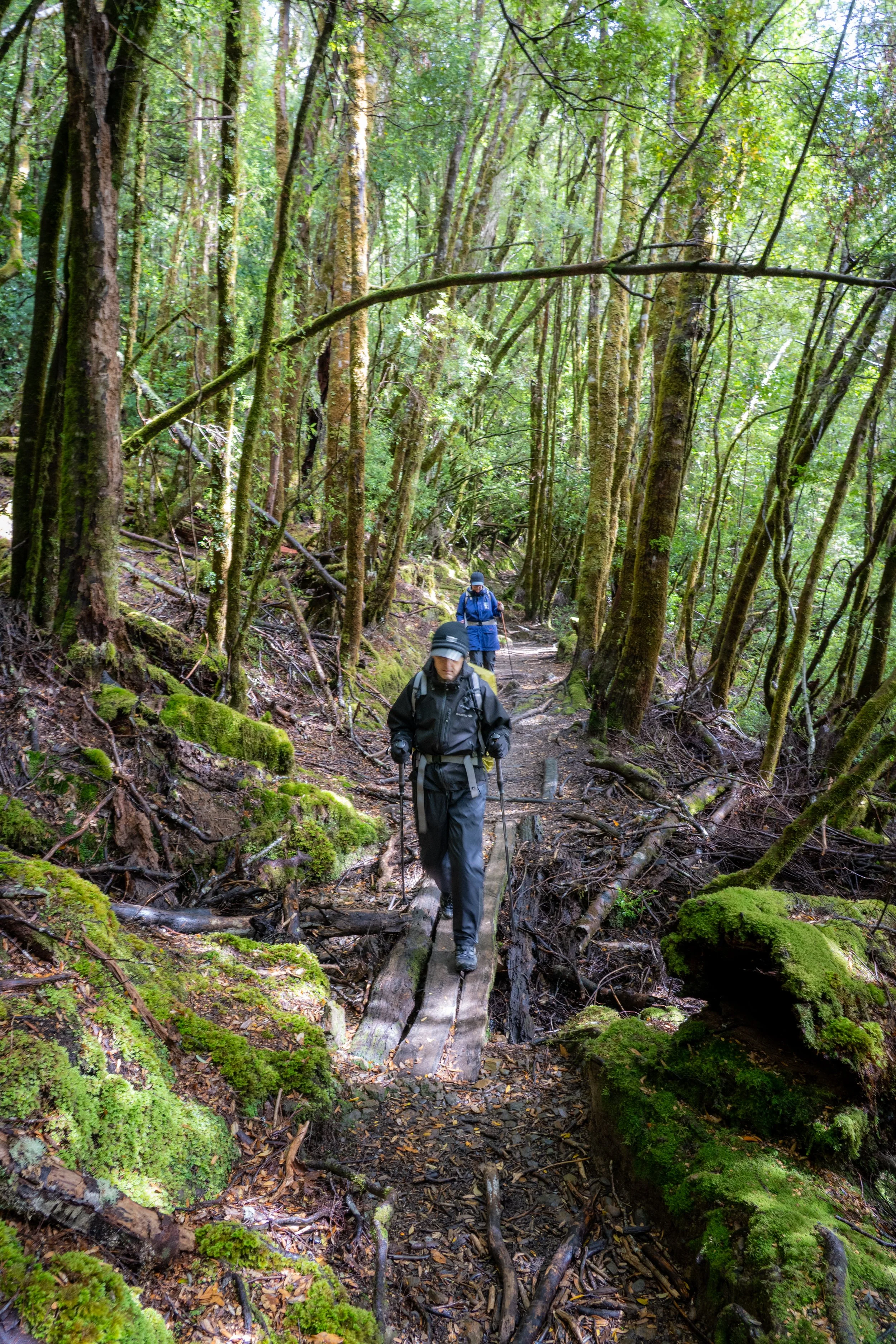
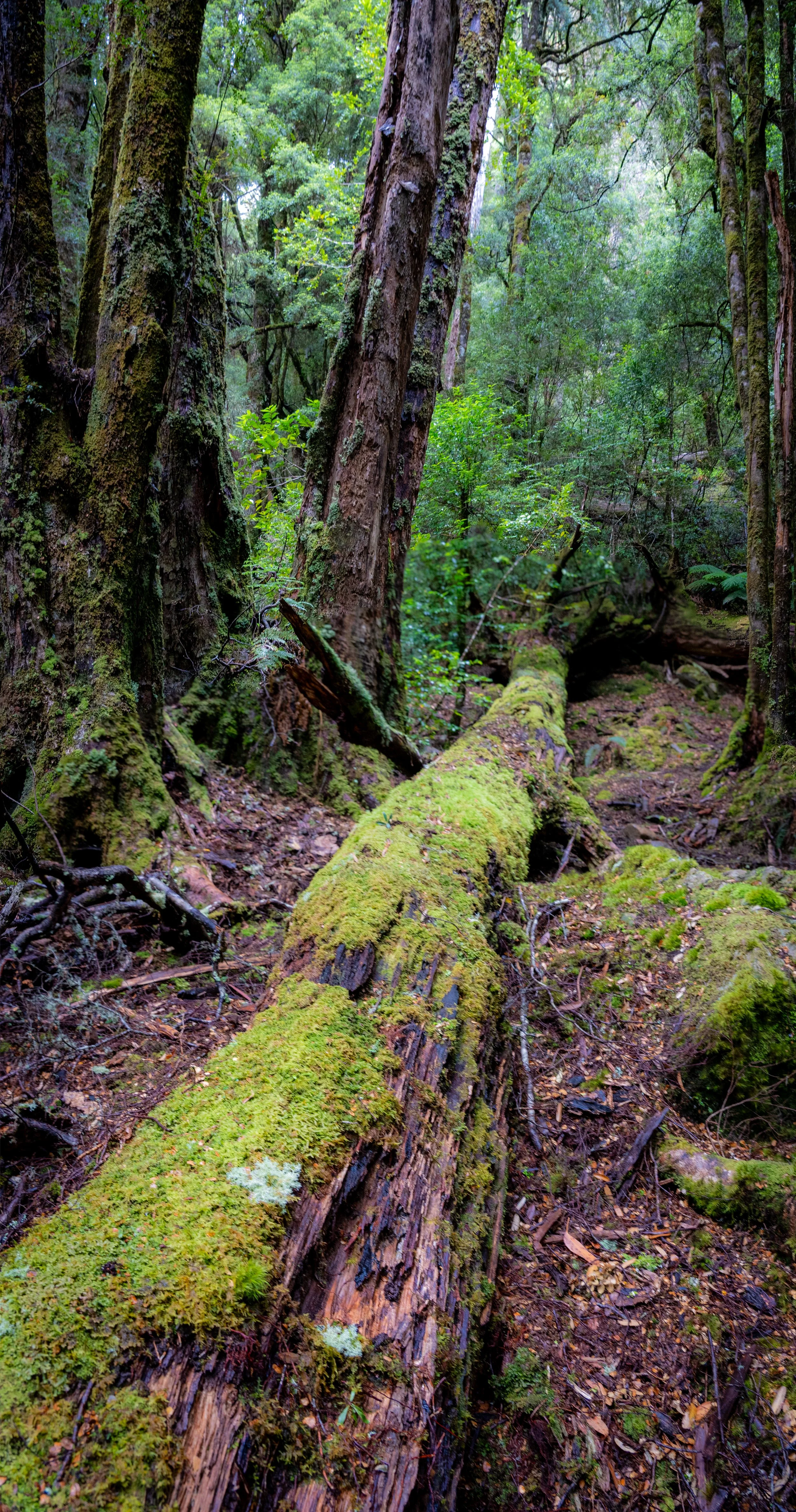
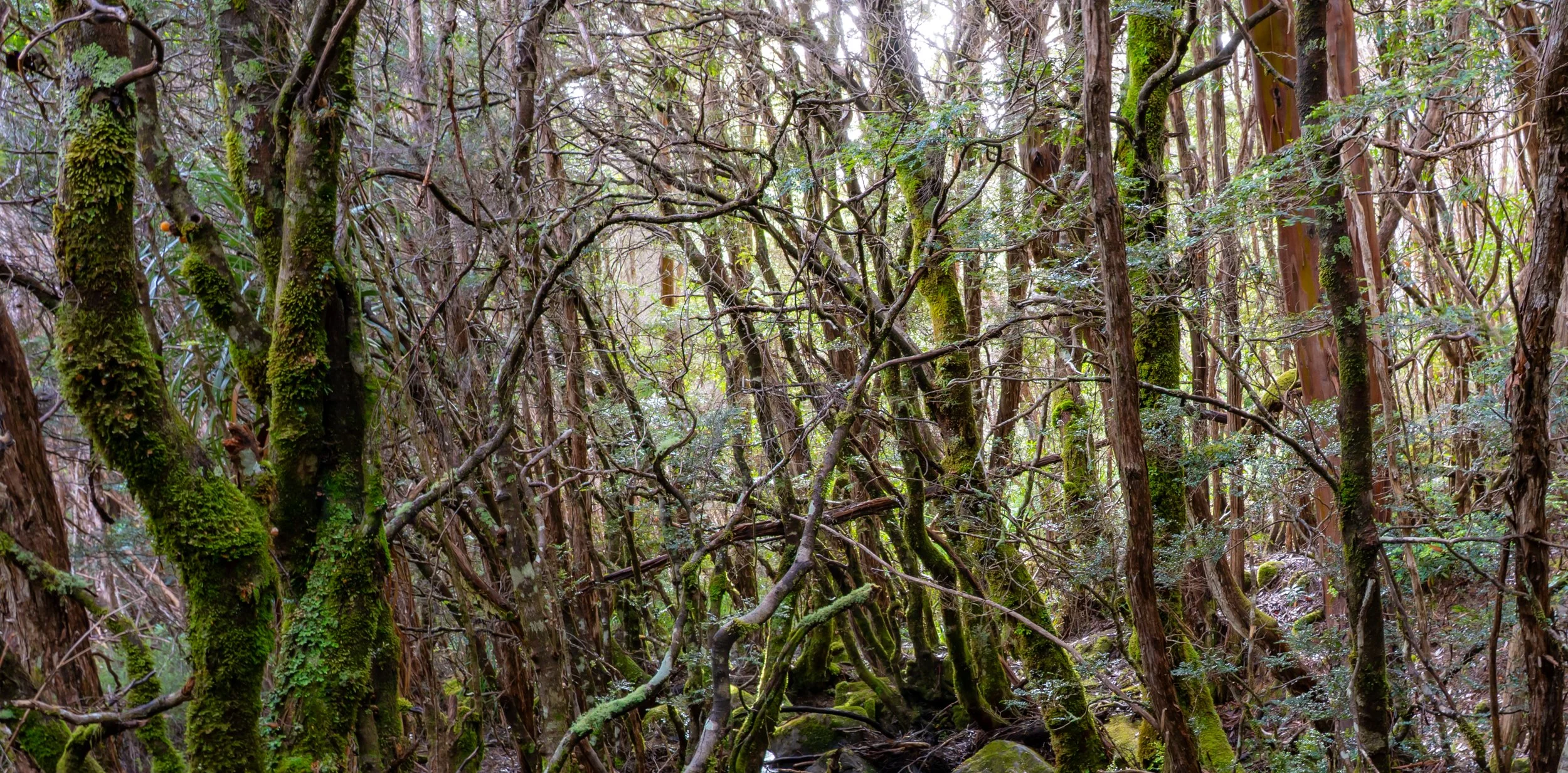
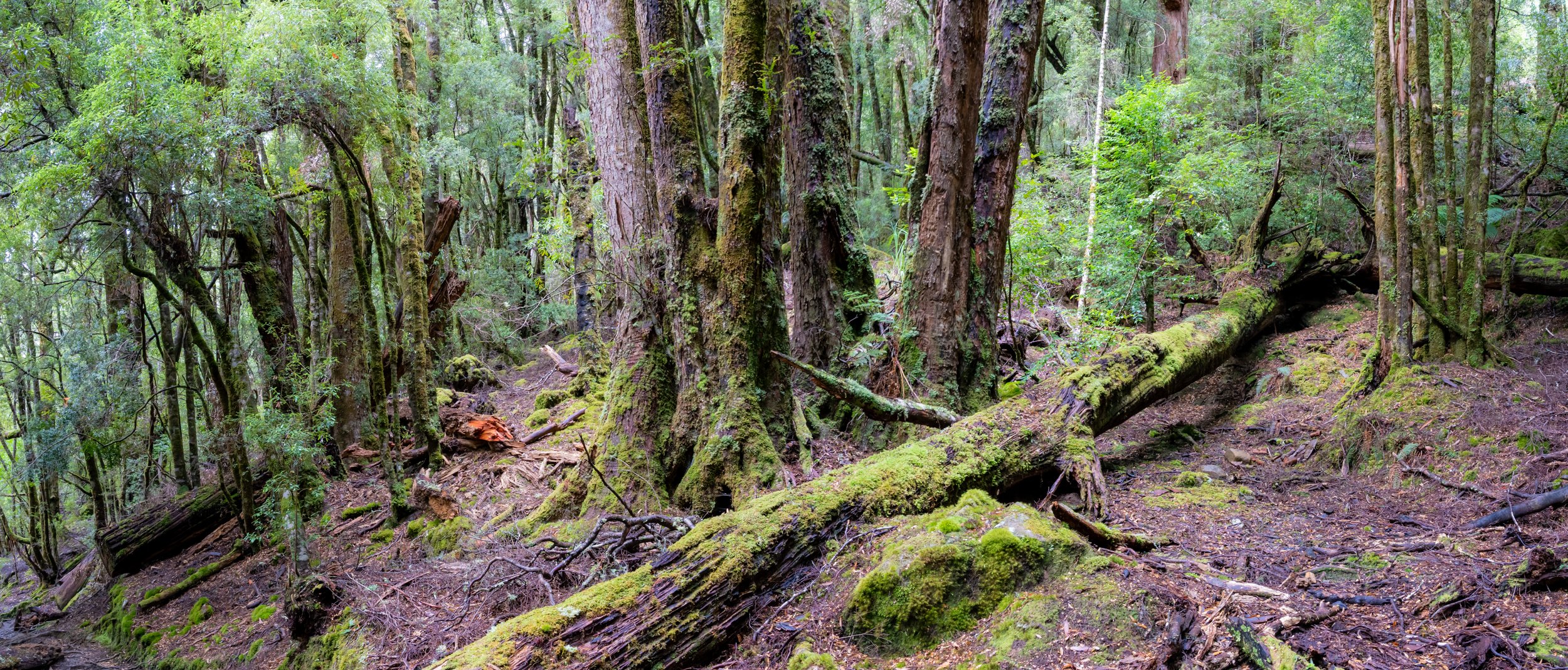
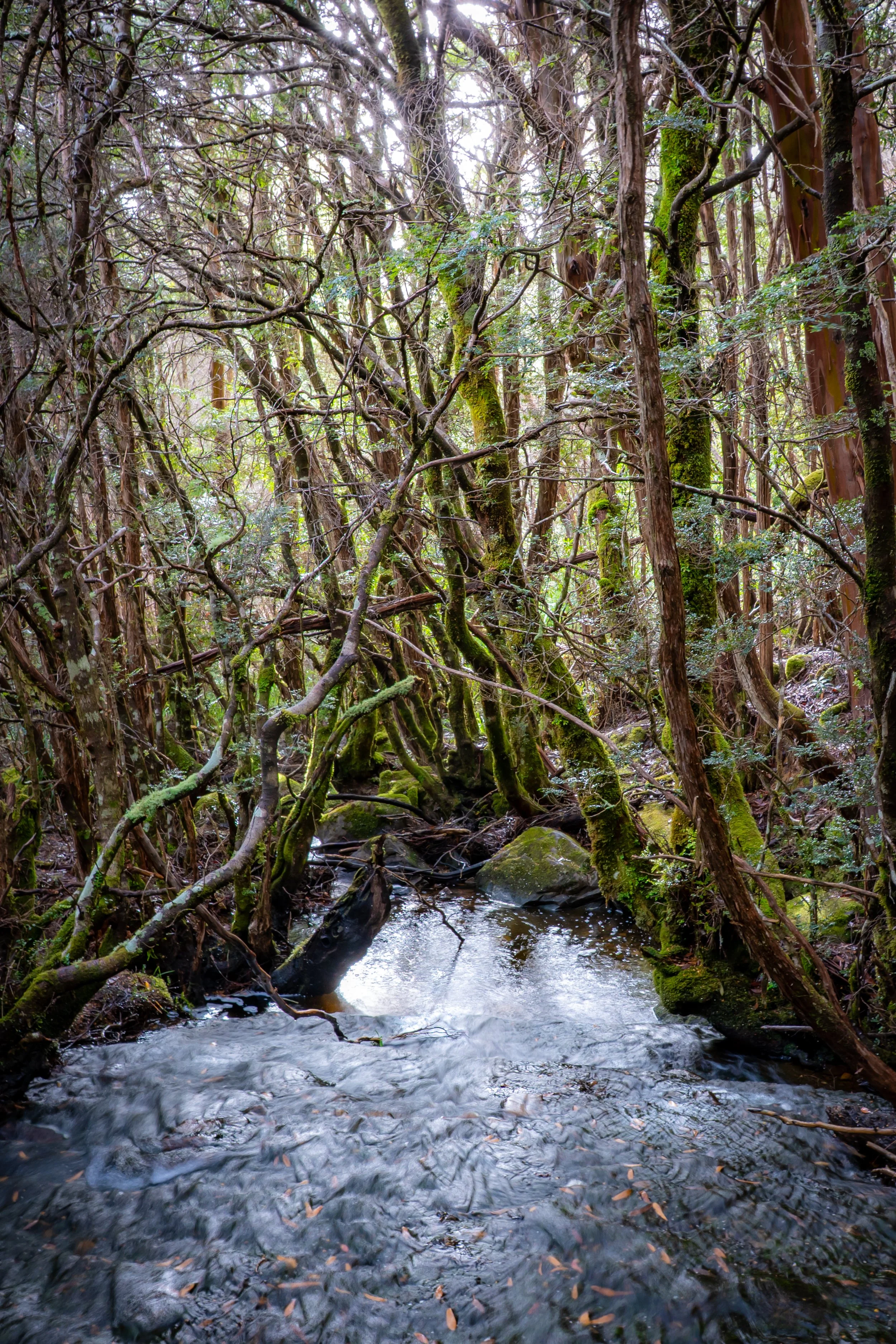
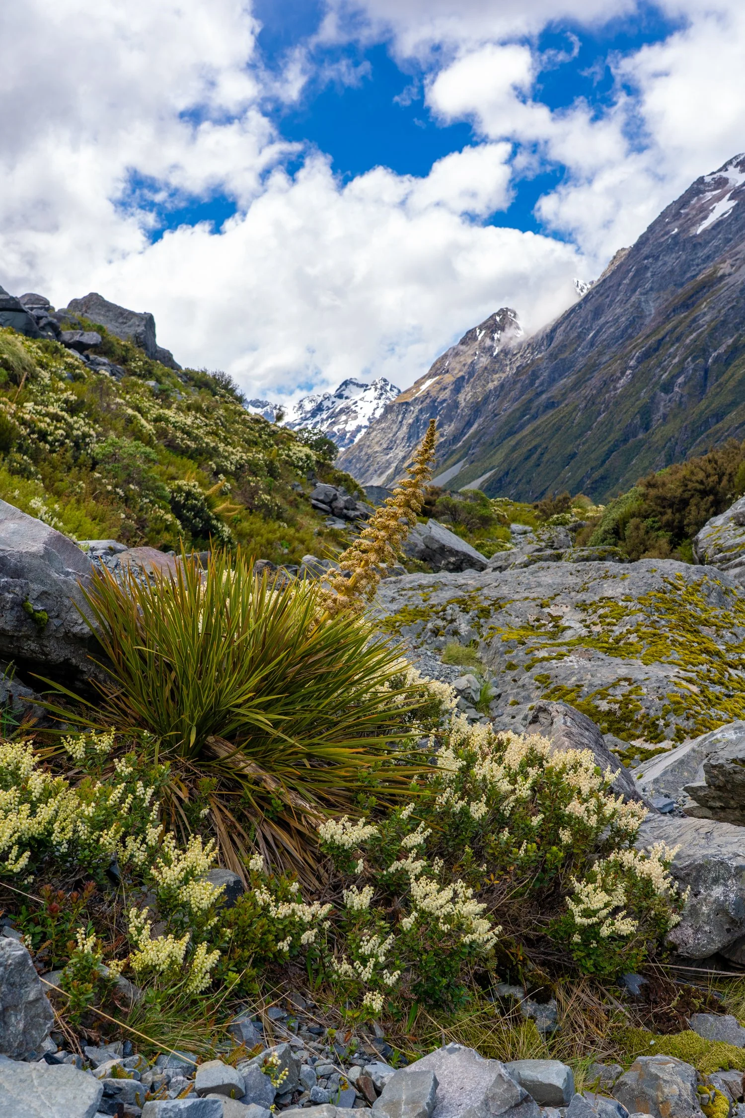
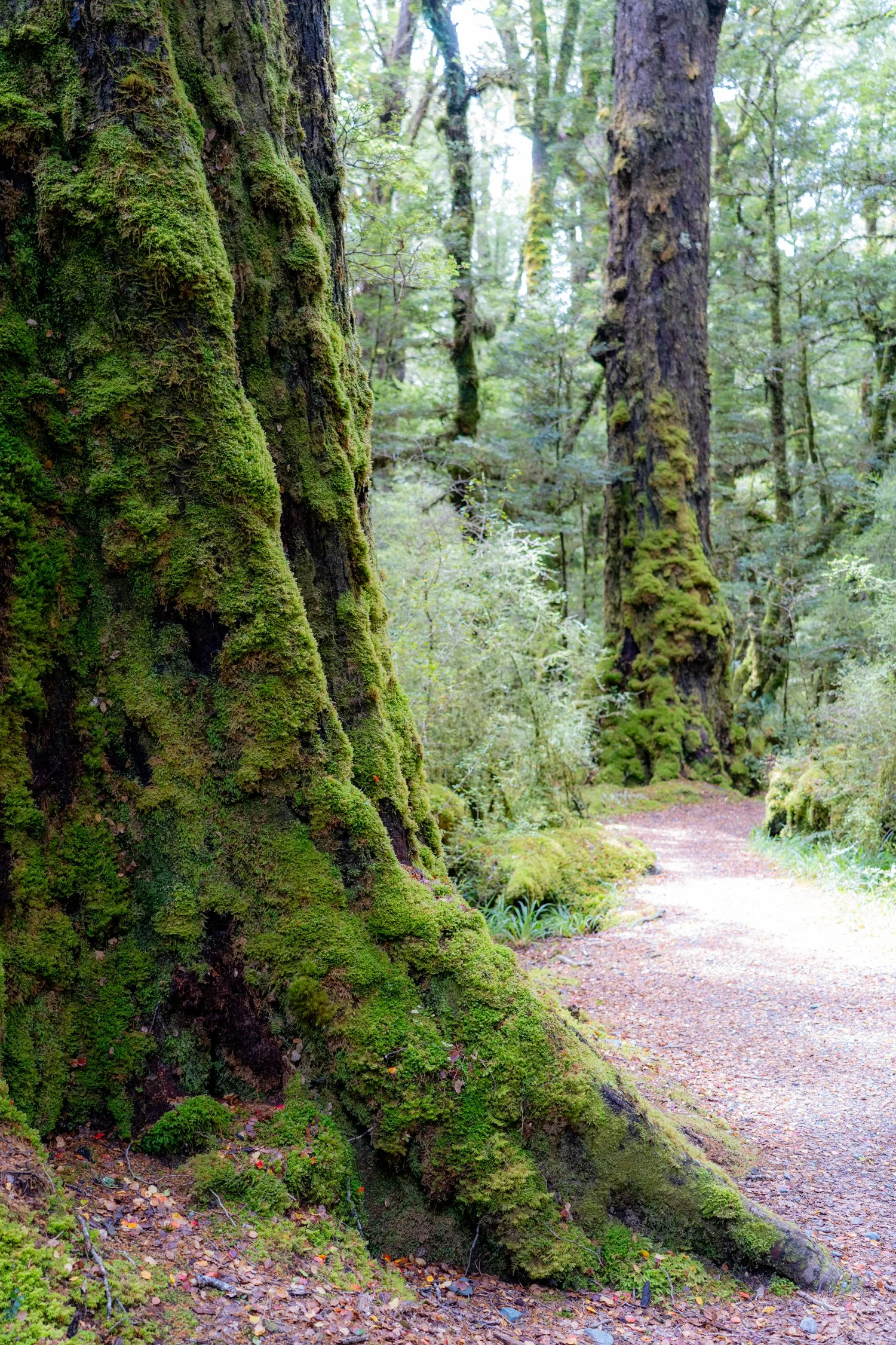
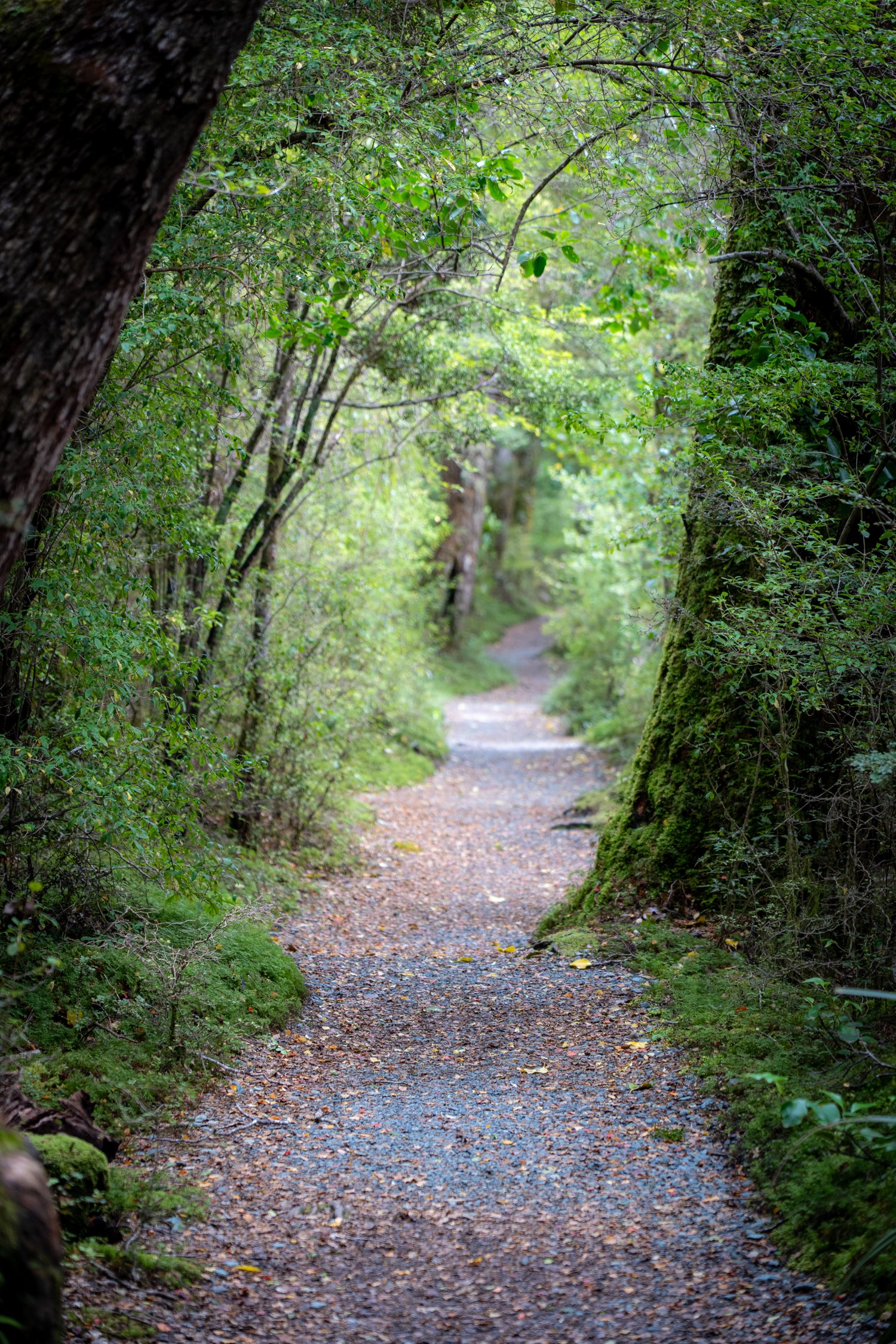
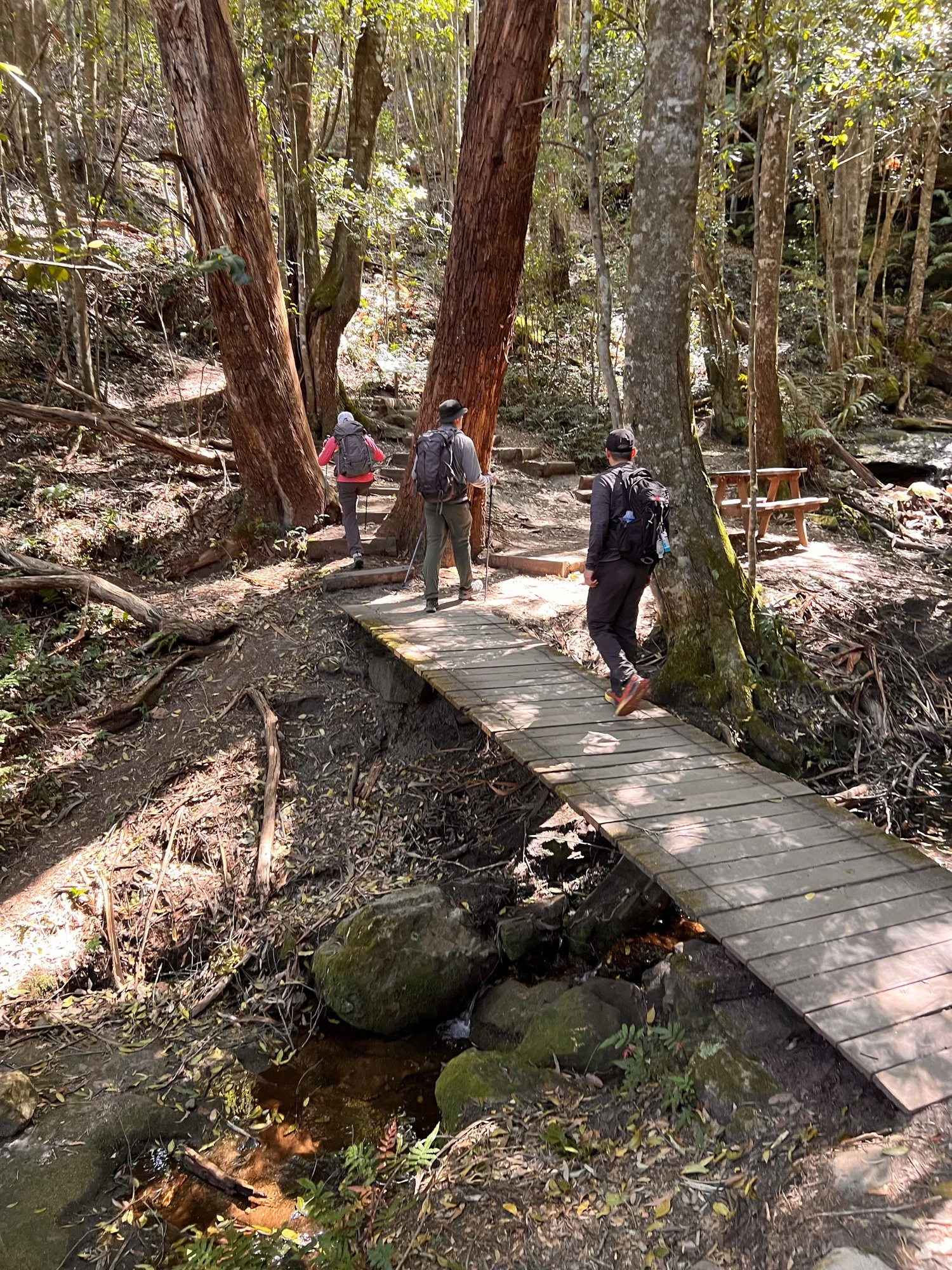
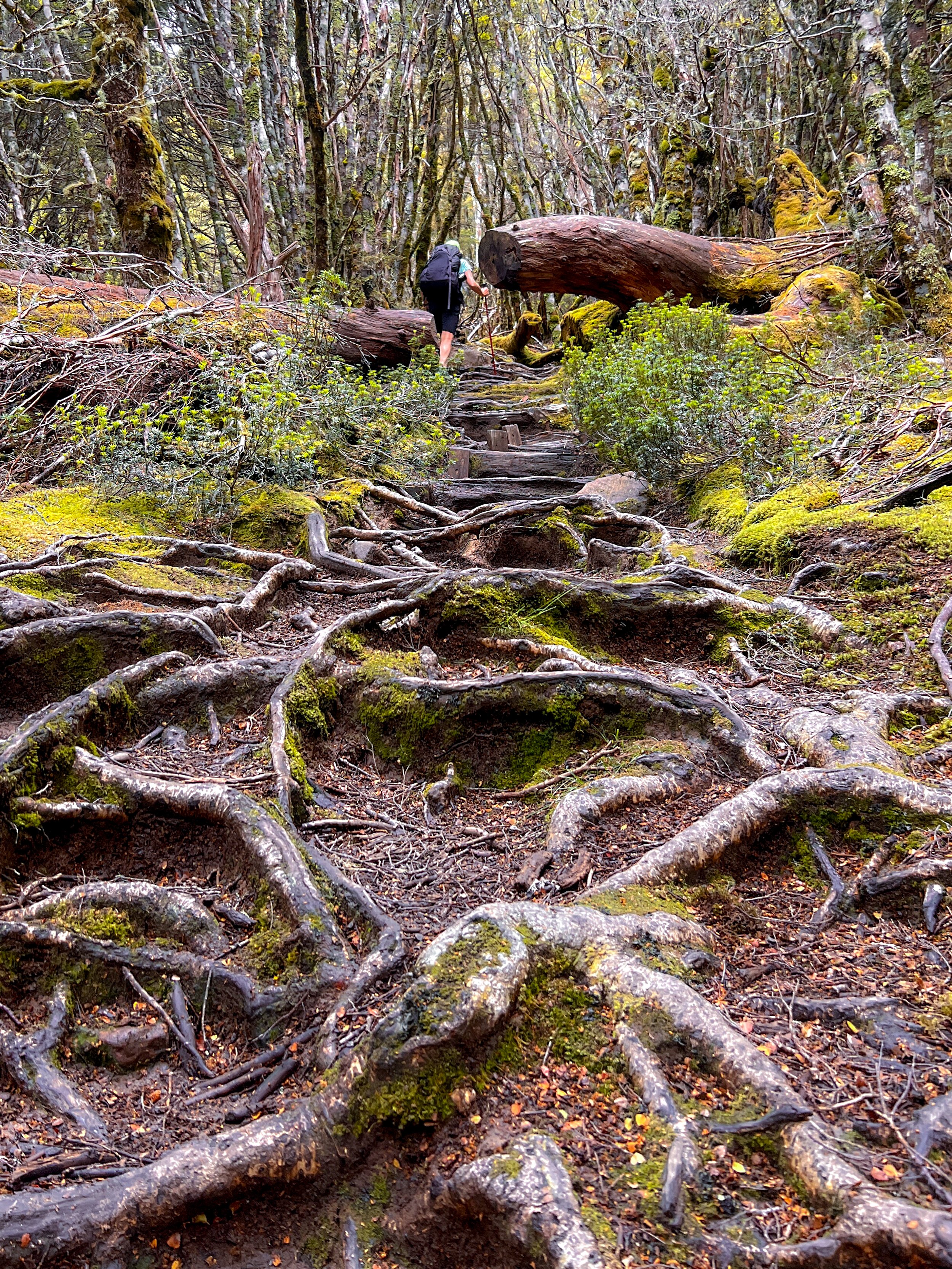
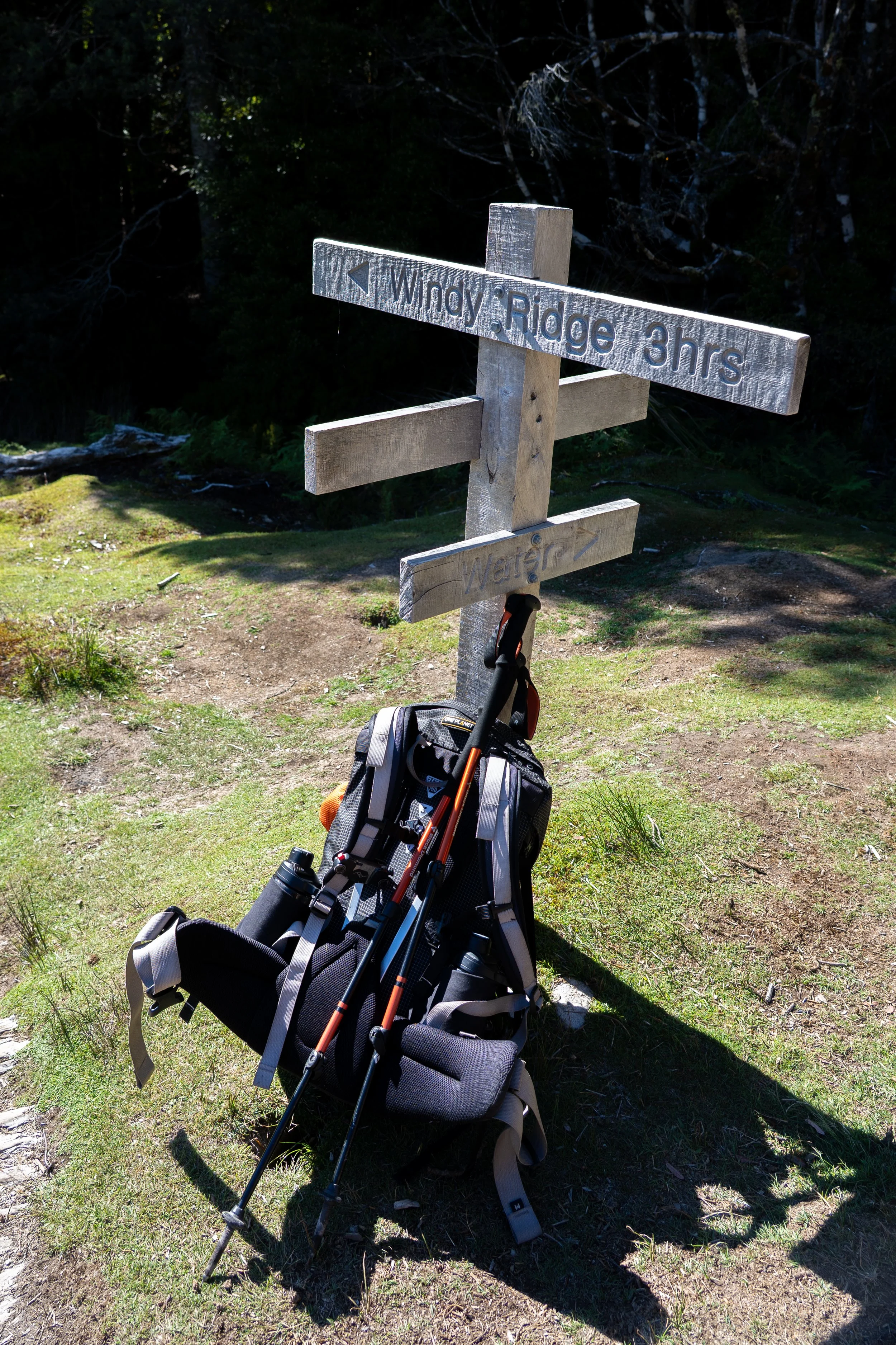
Returning to our packs, the track begins a steady climb toward Du Cane Pass before dropping sharply again toward Windy Ridge. The forest gradually shifts as well. Dry sclerophyll gives way to damper woodland with towering trees reaching for the heavens.
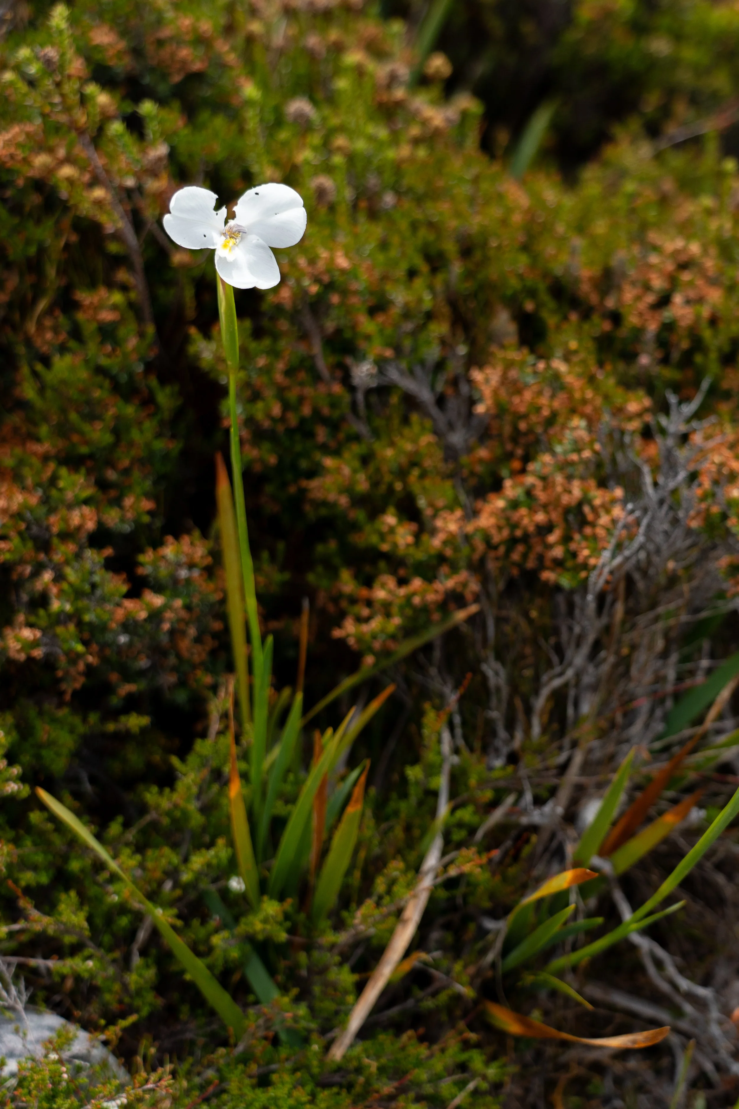
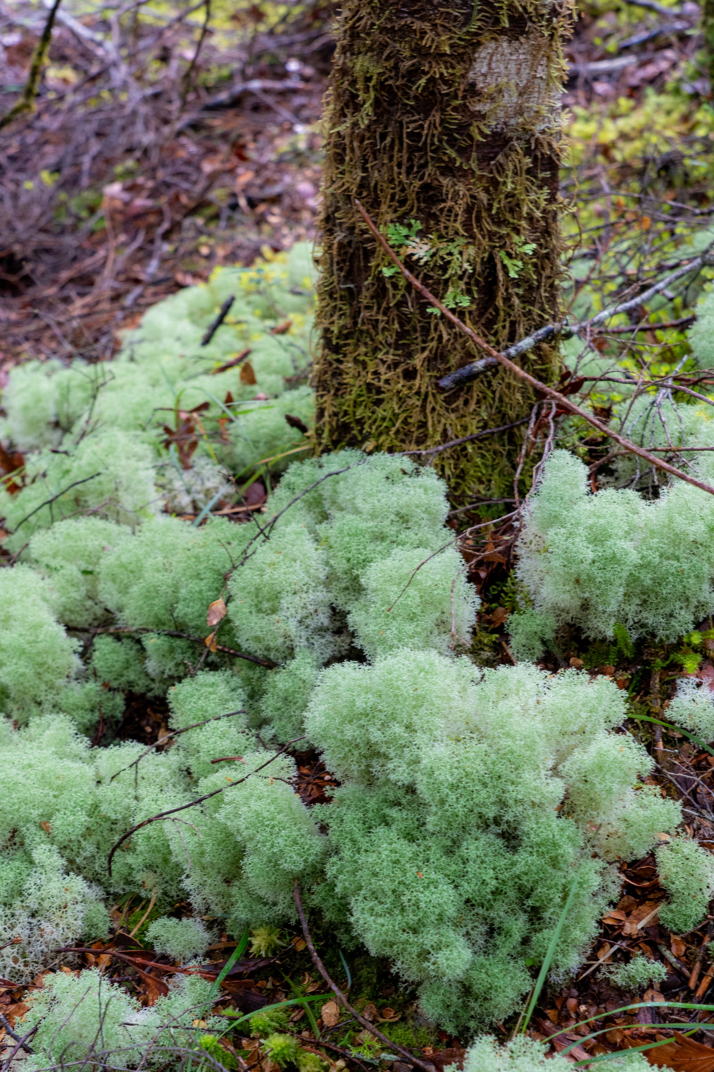
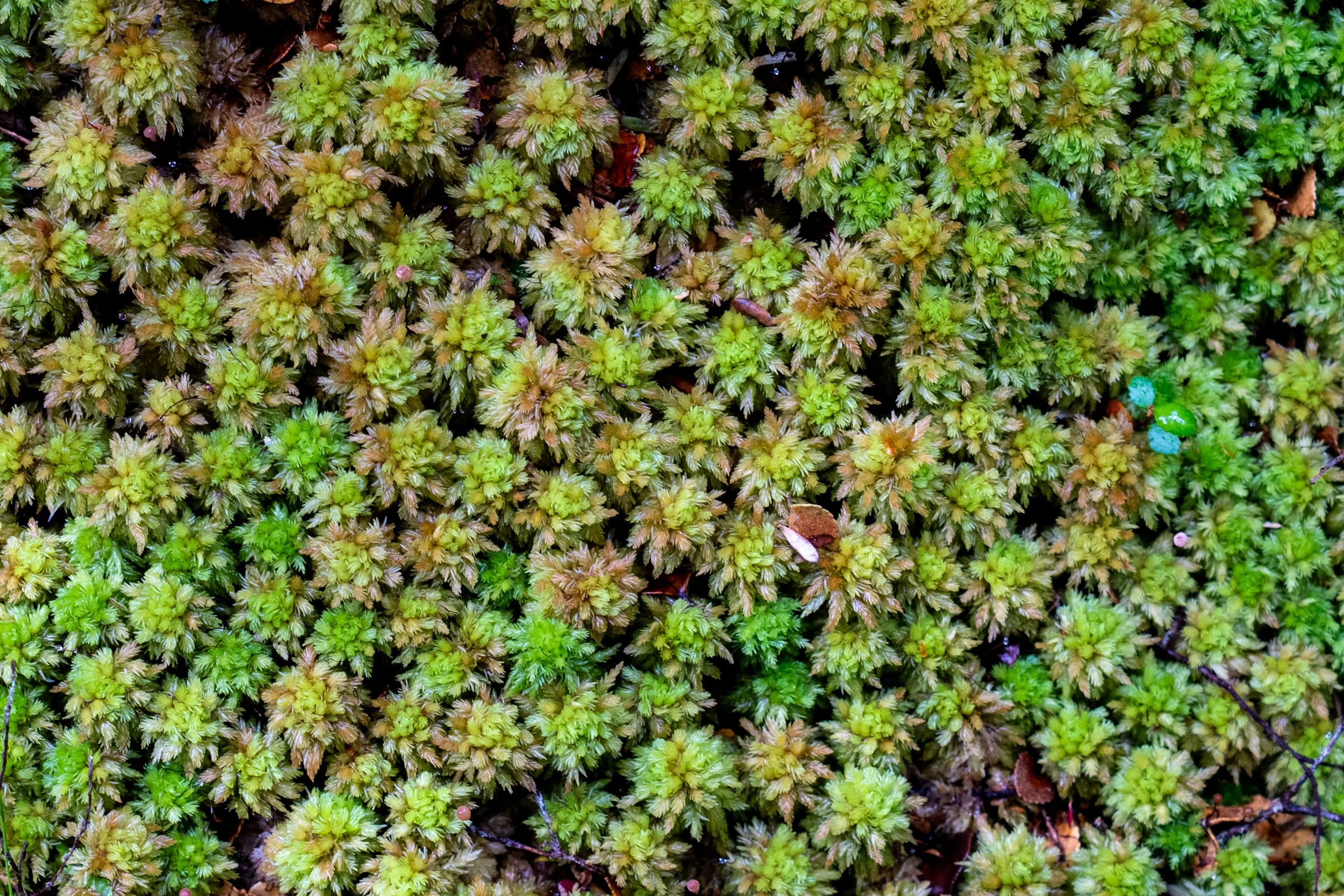
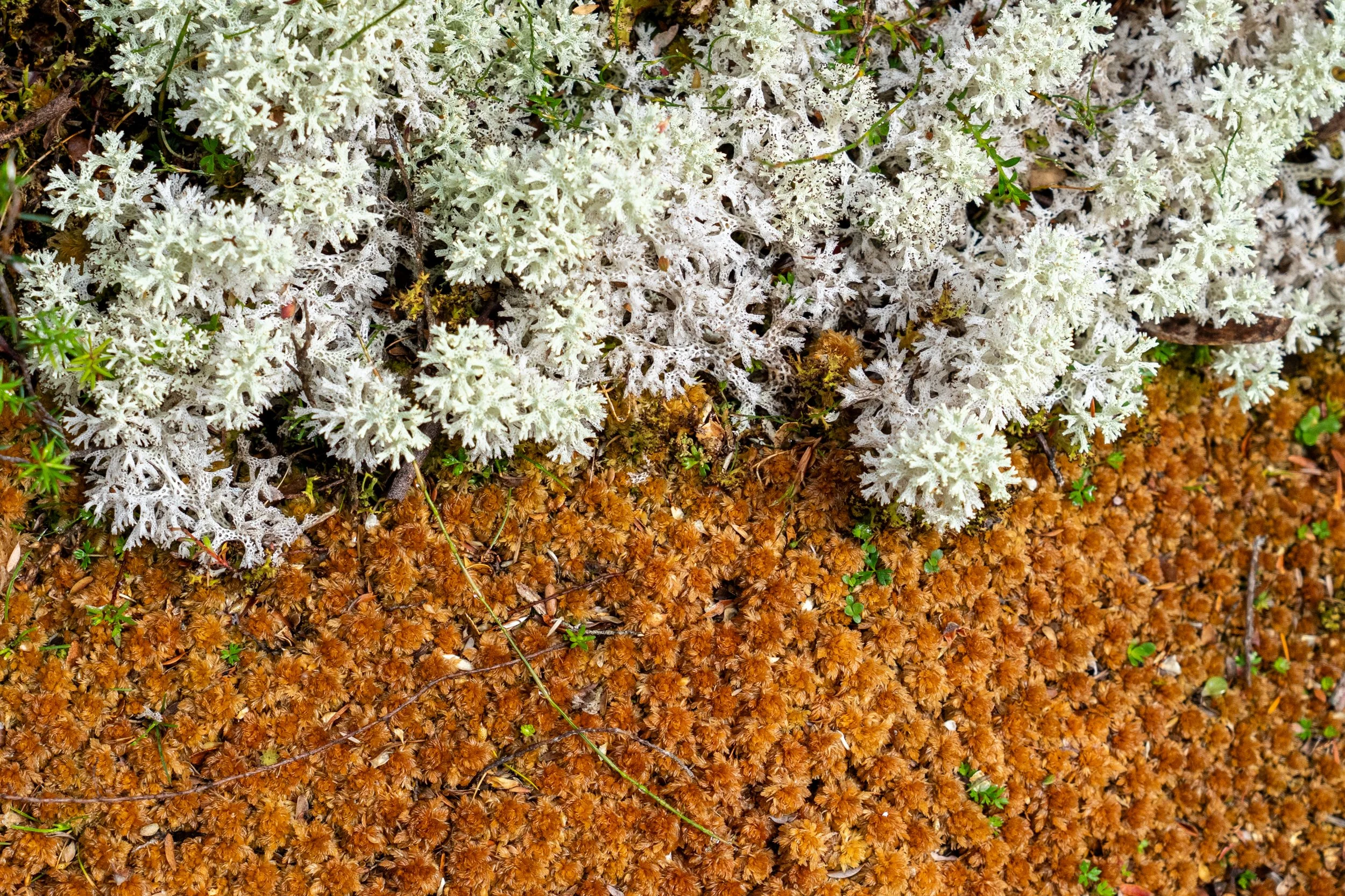
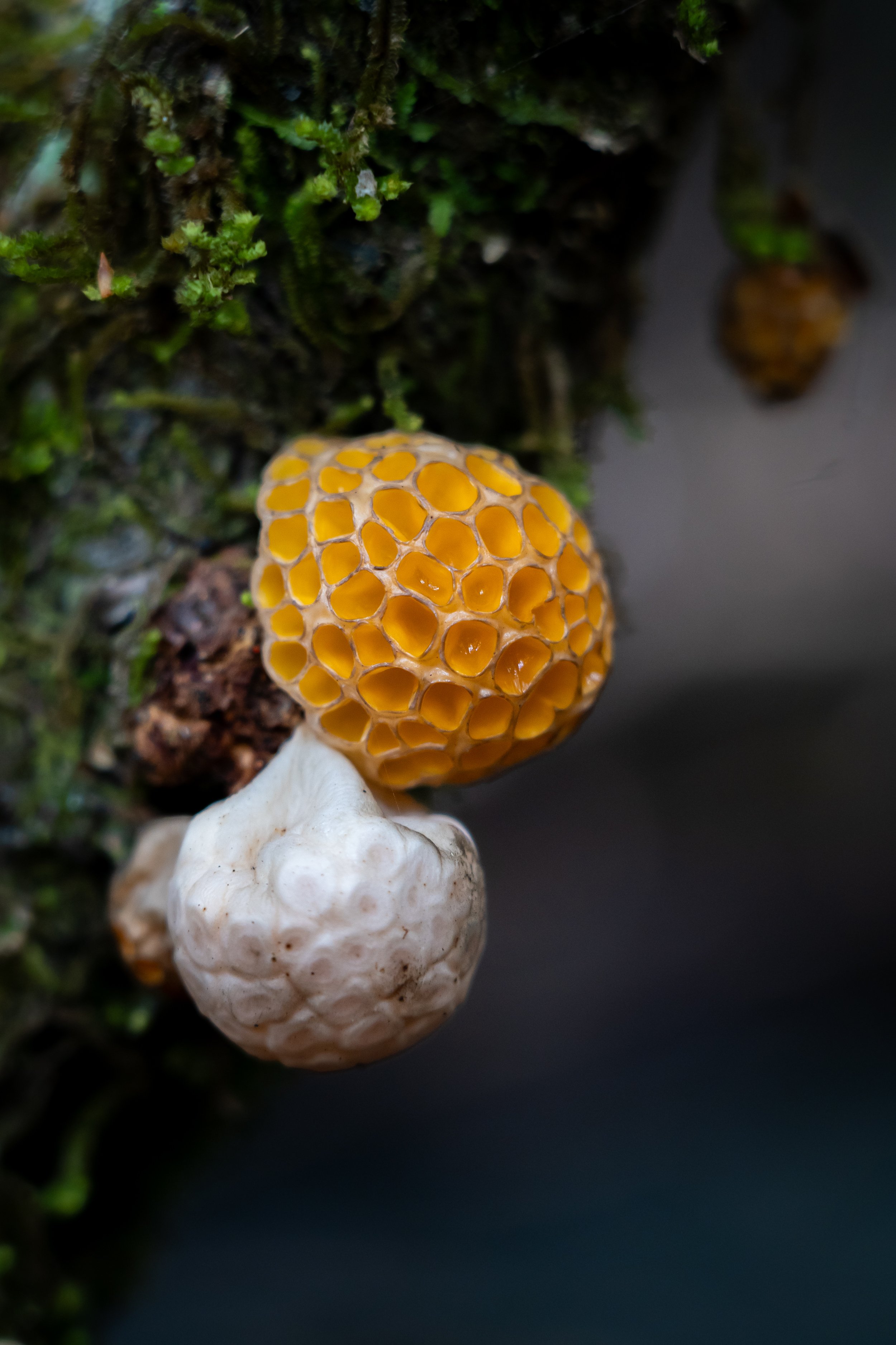
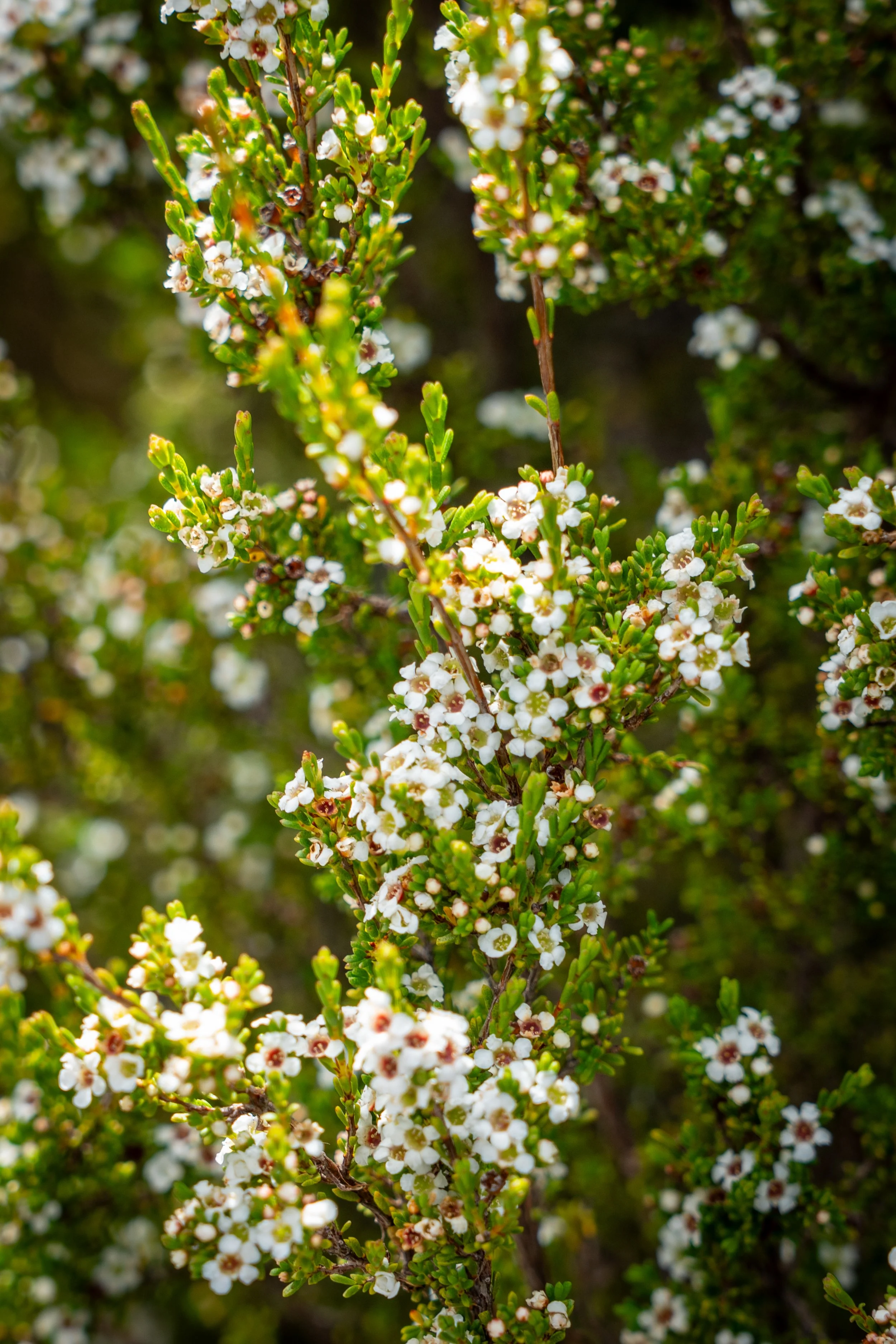
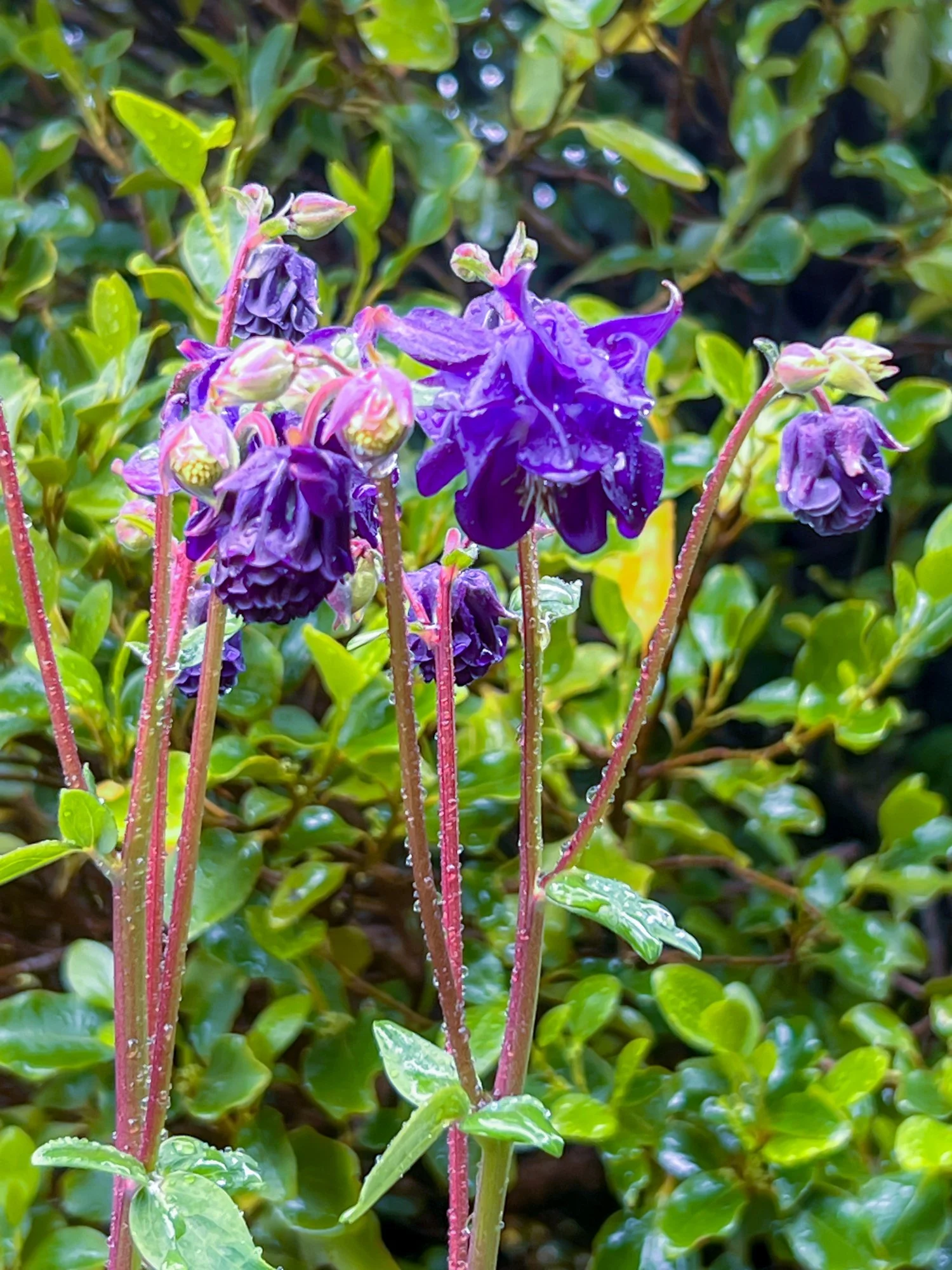
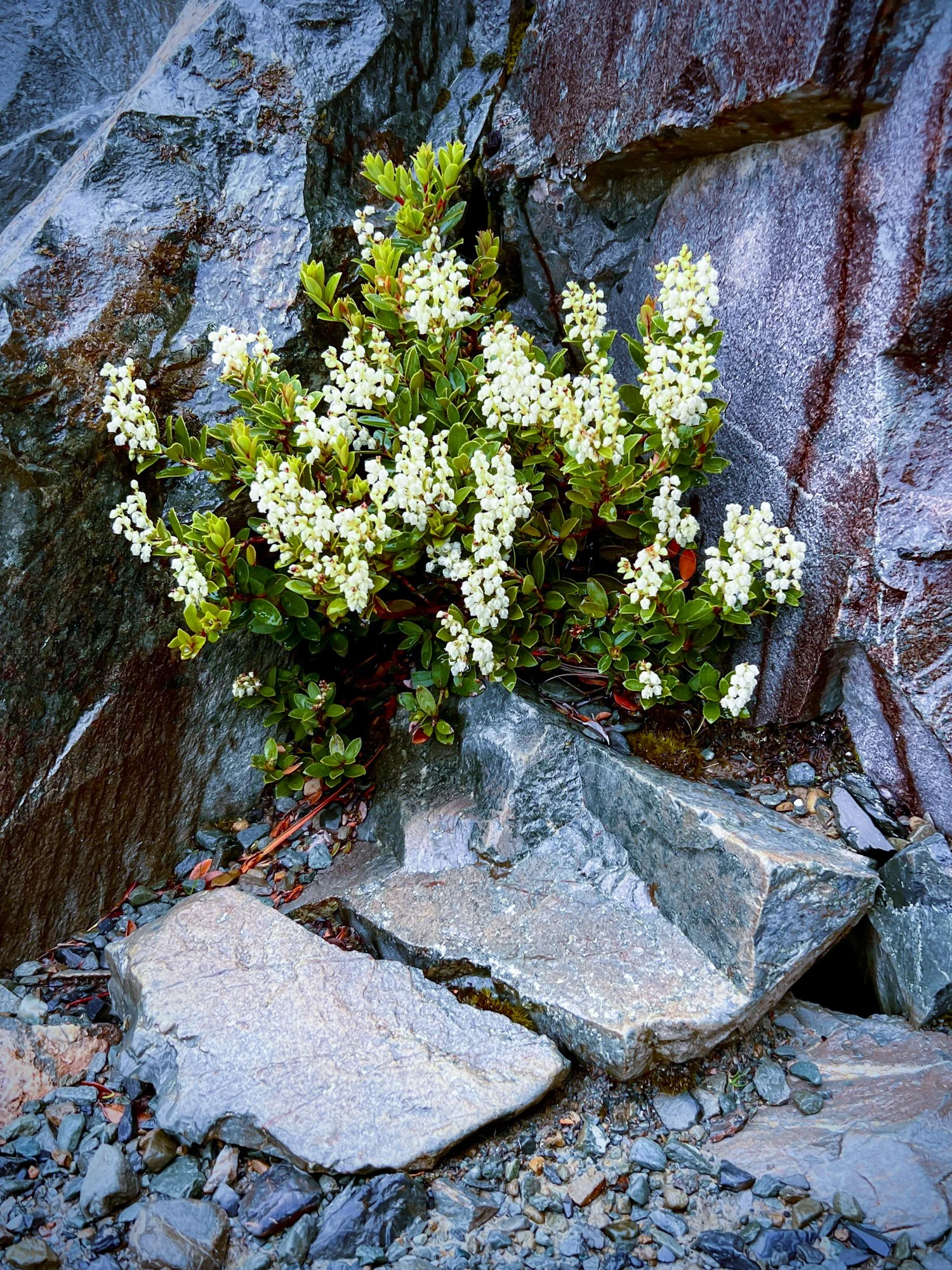
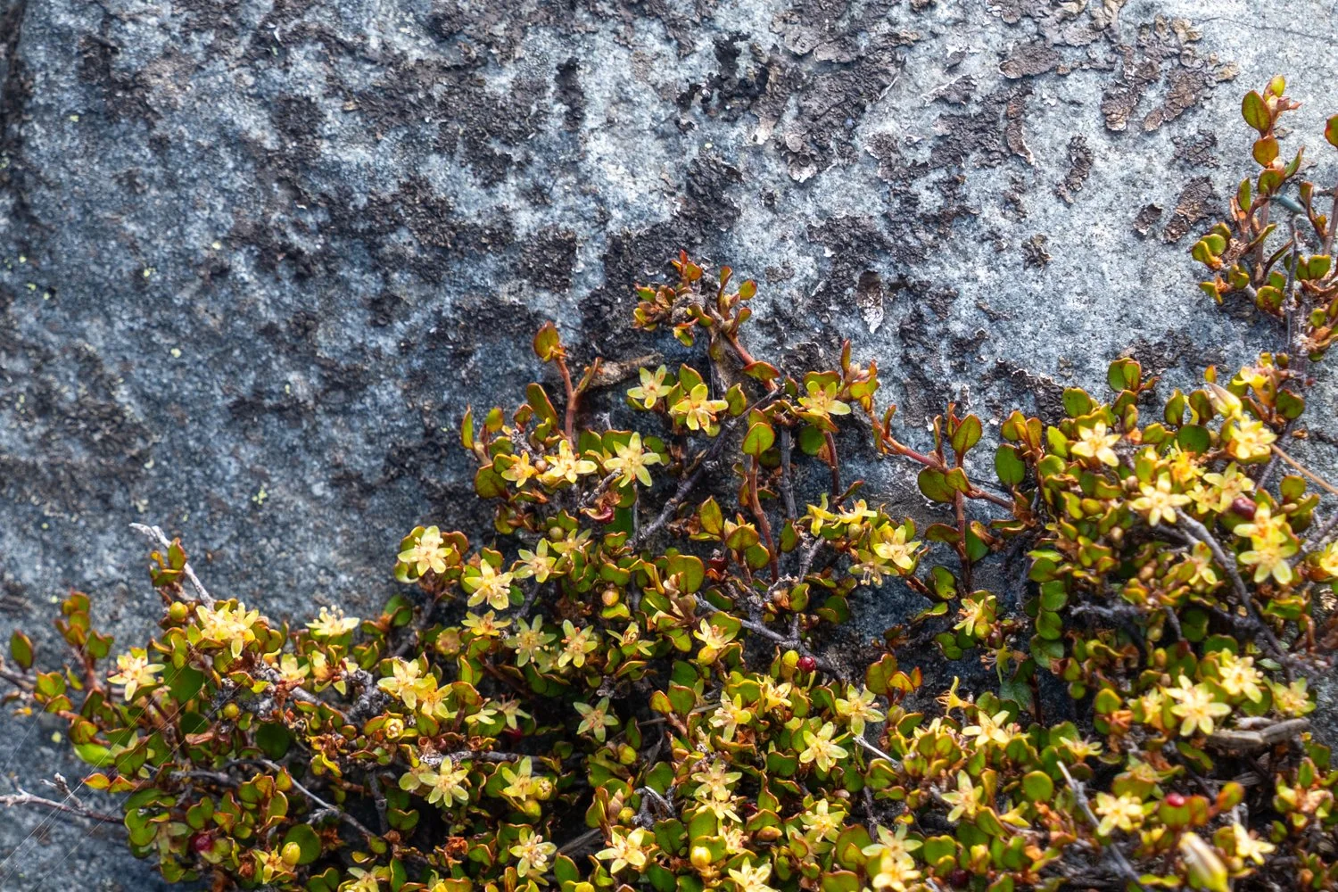
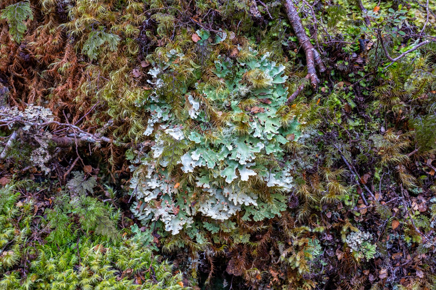
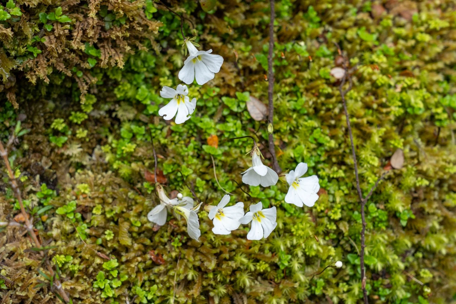
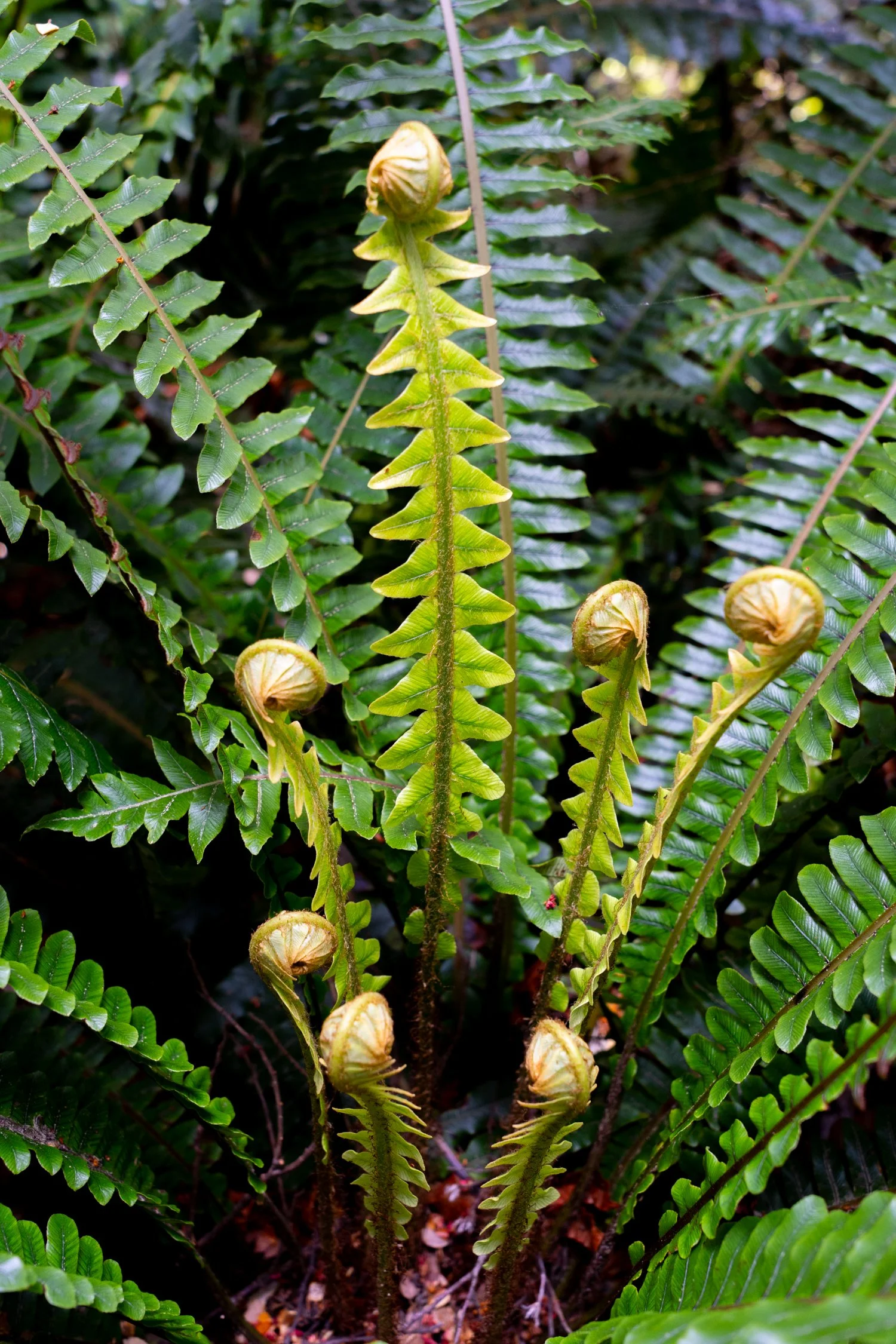
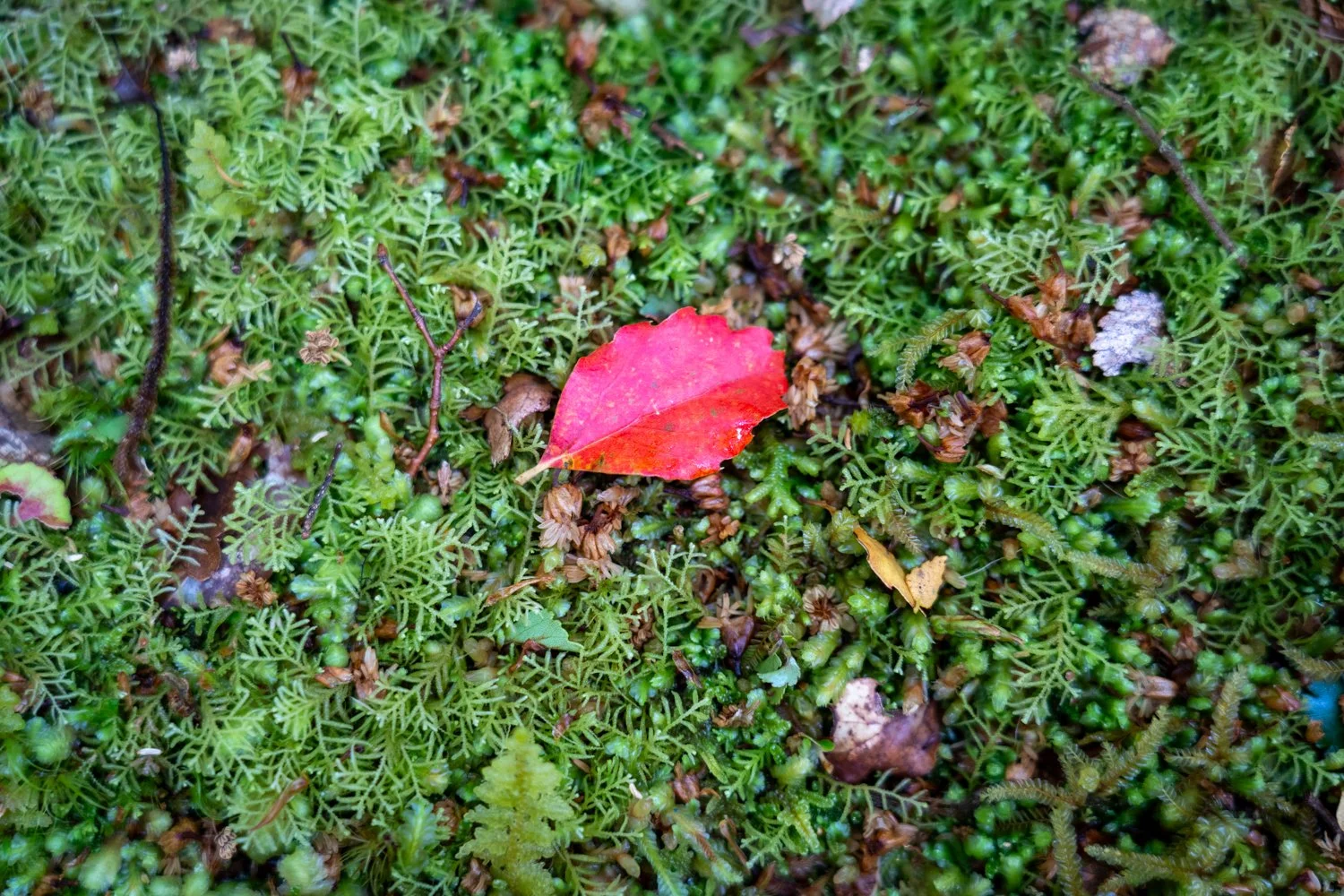
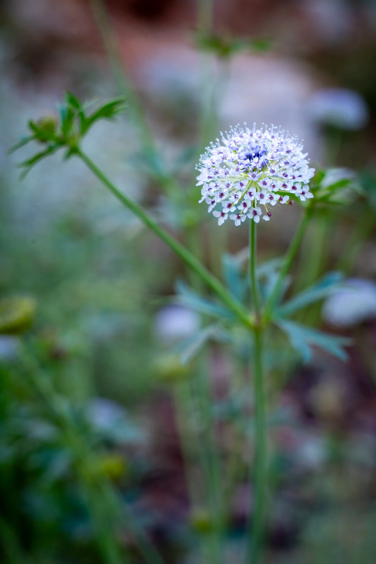
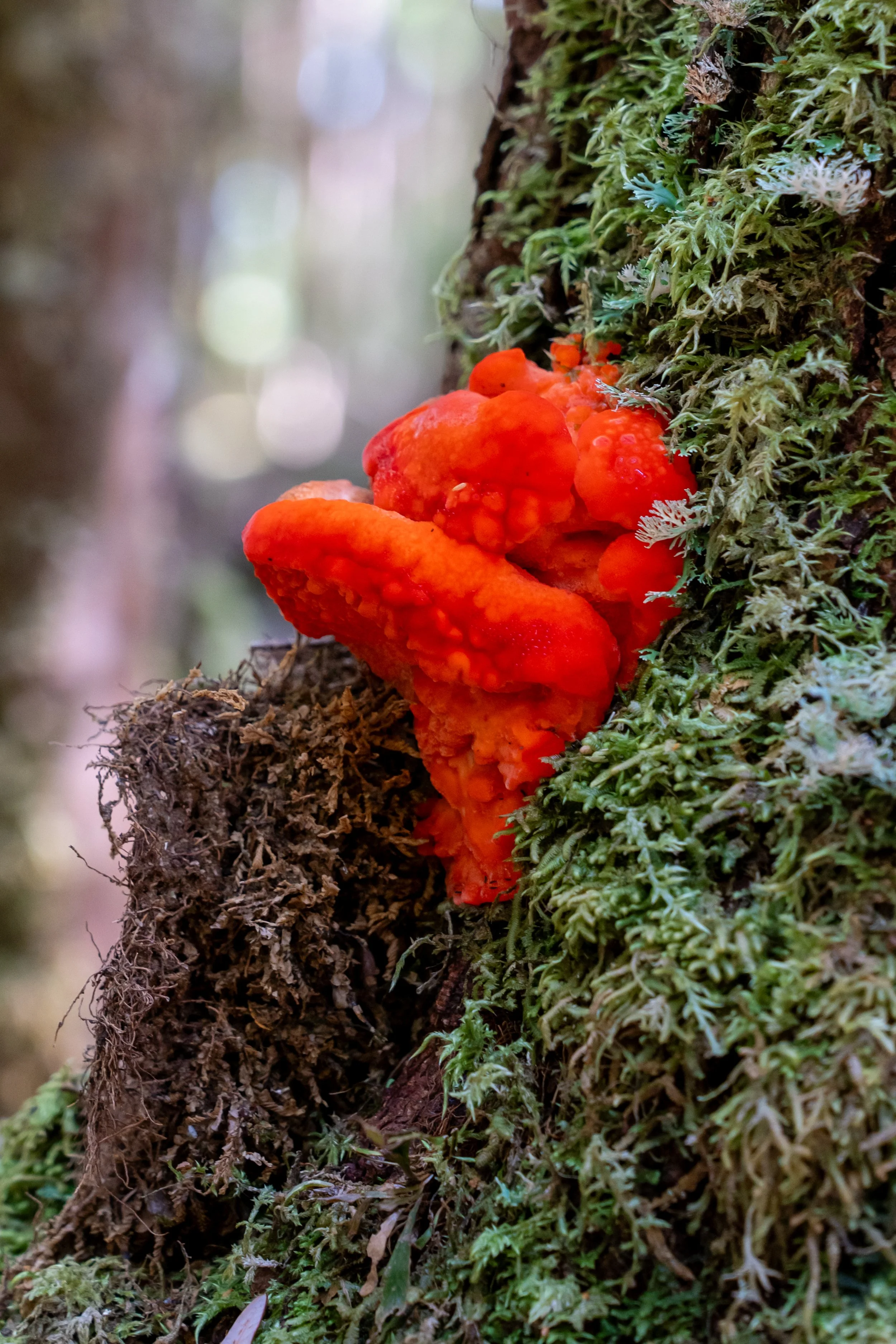
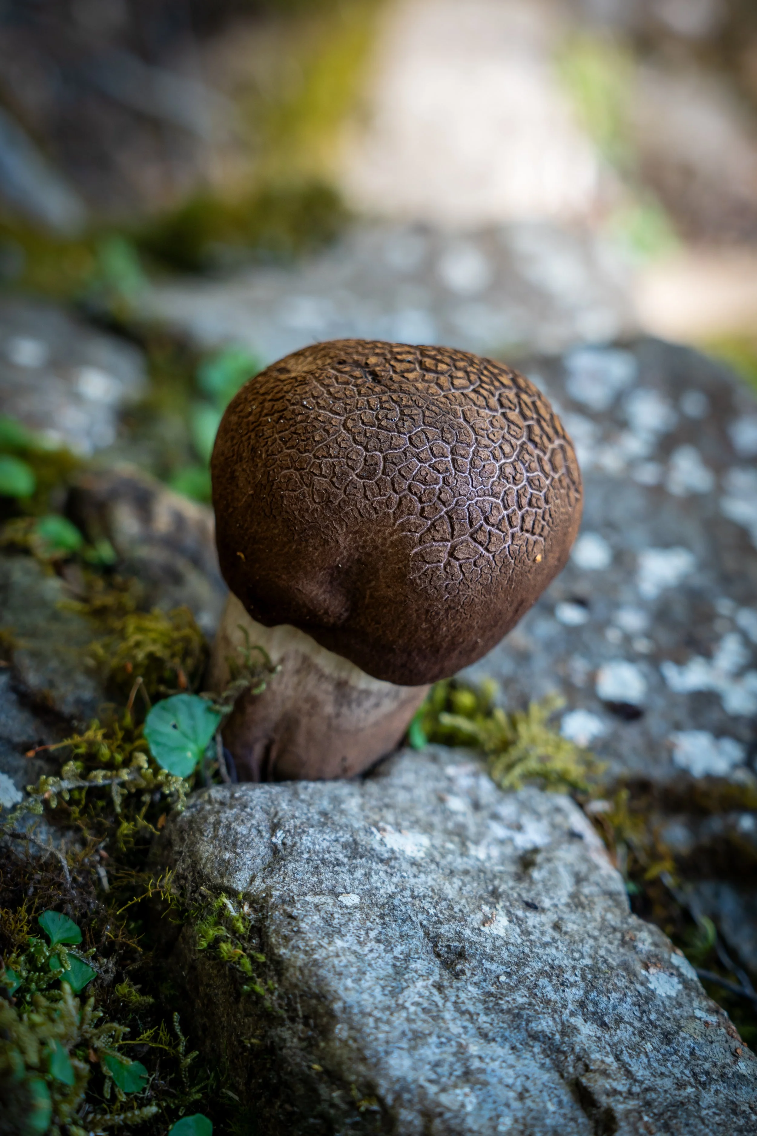
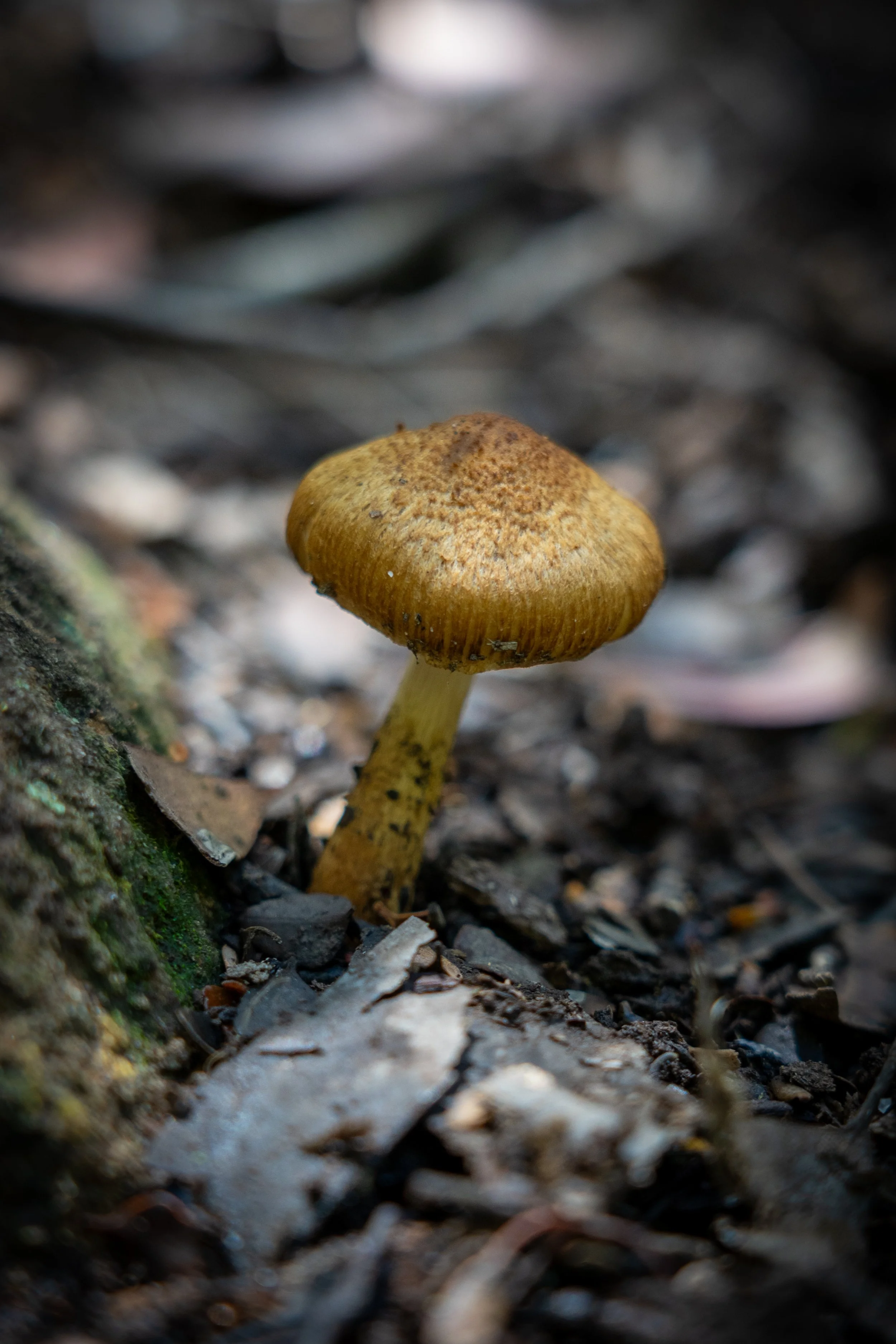
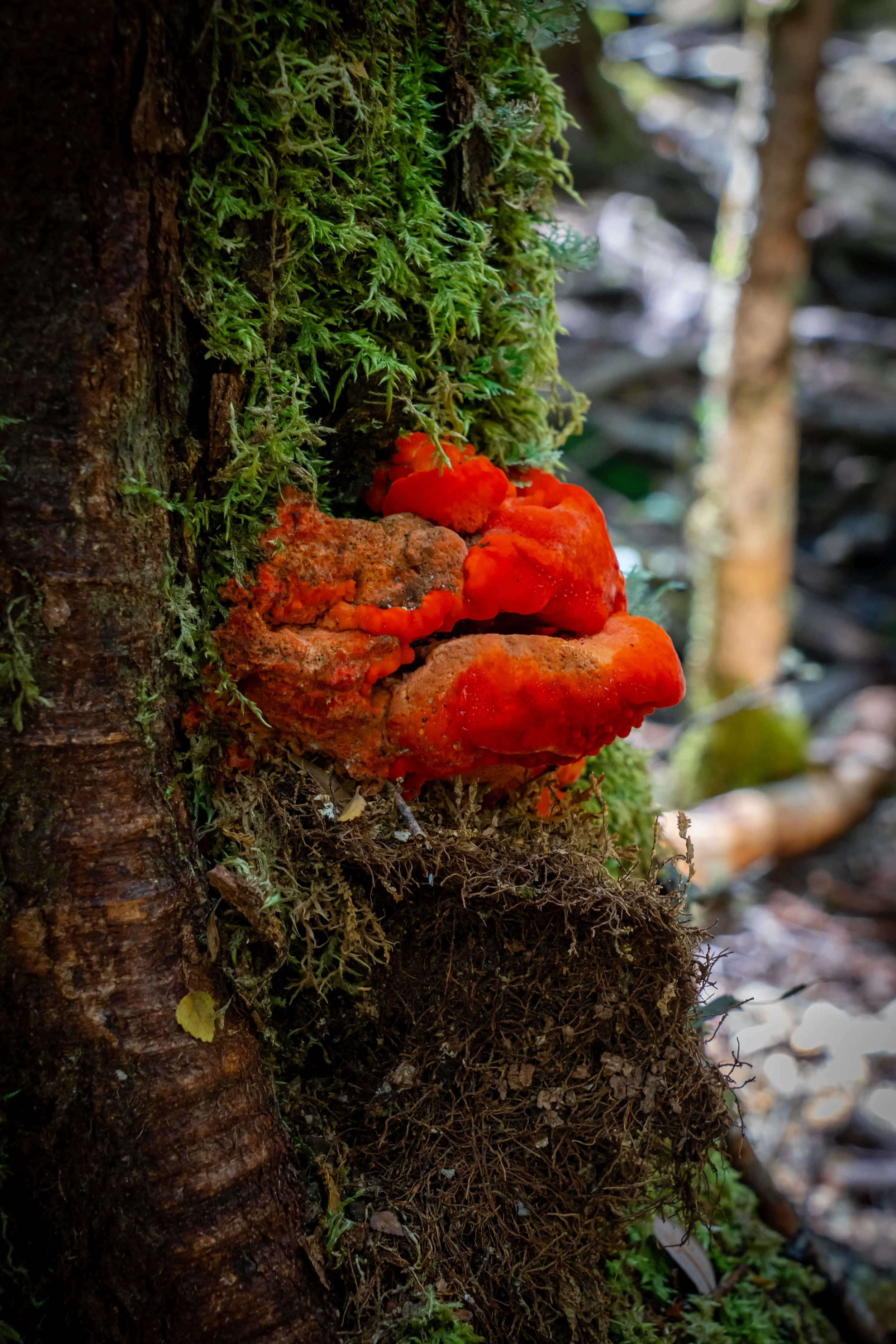
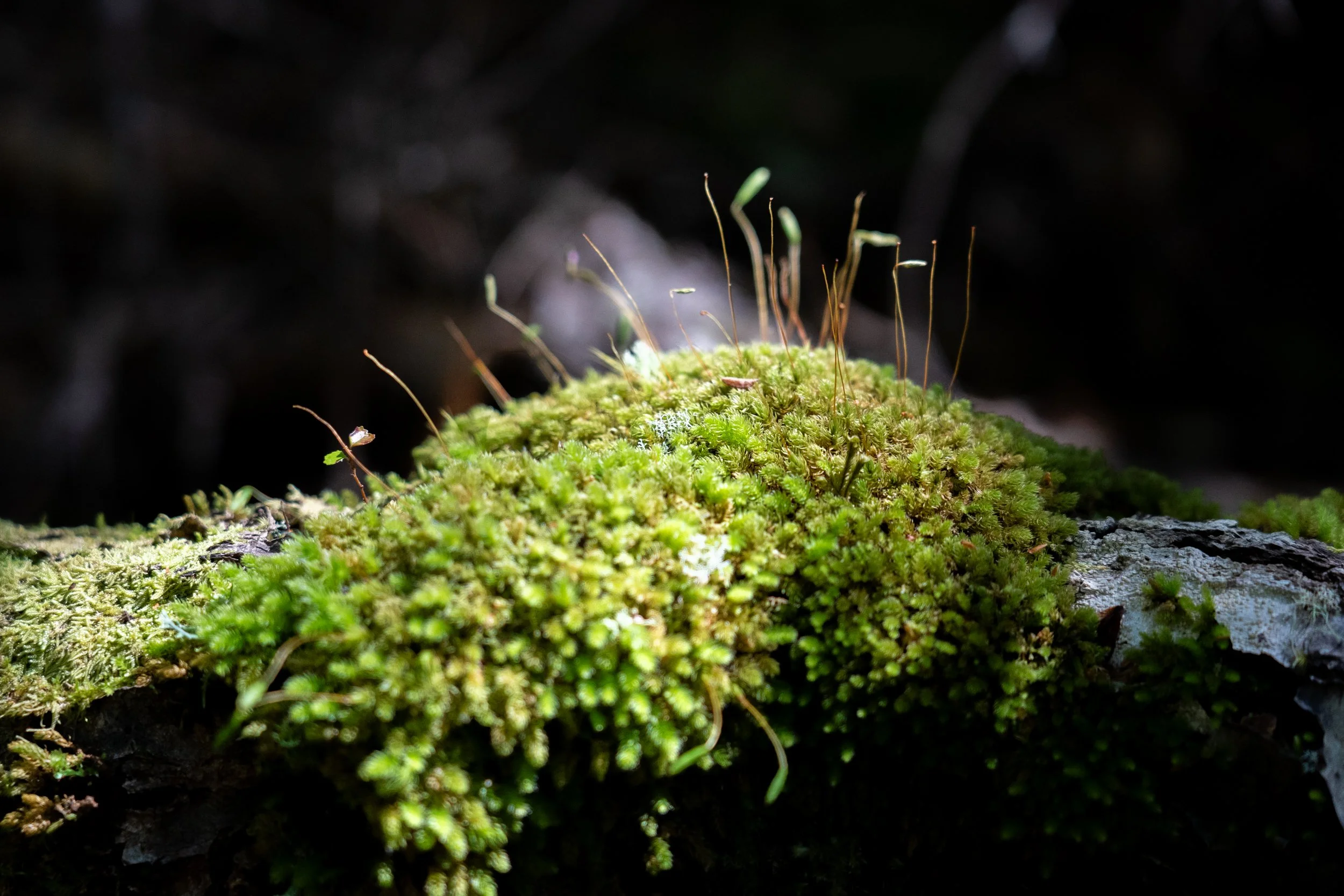
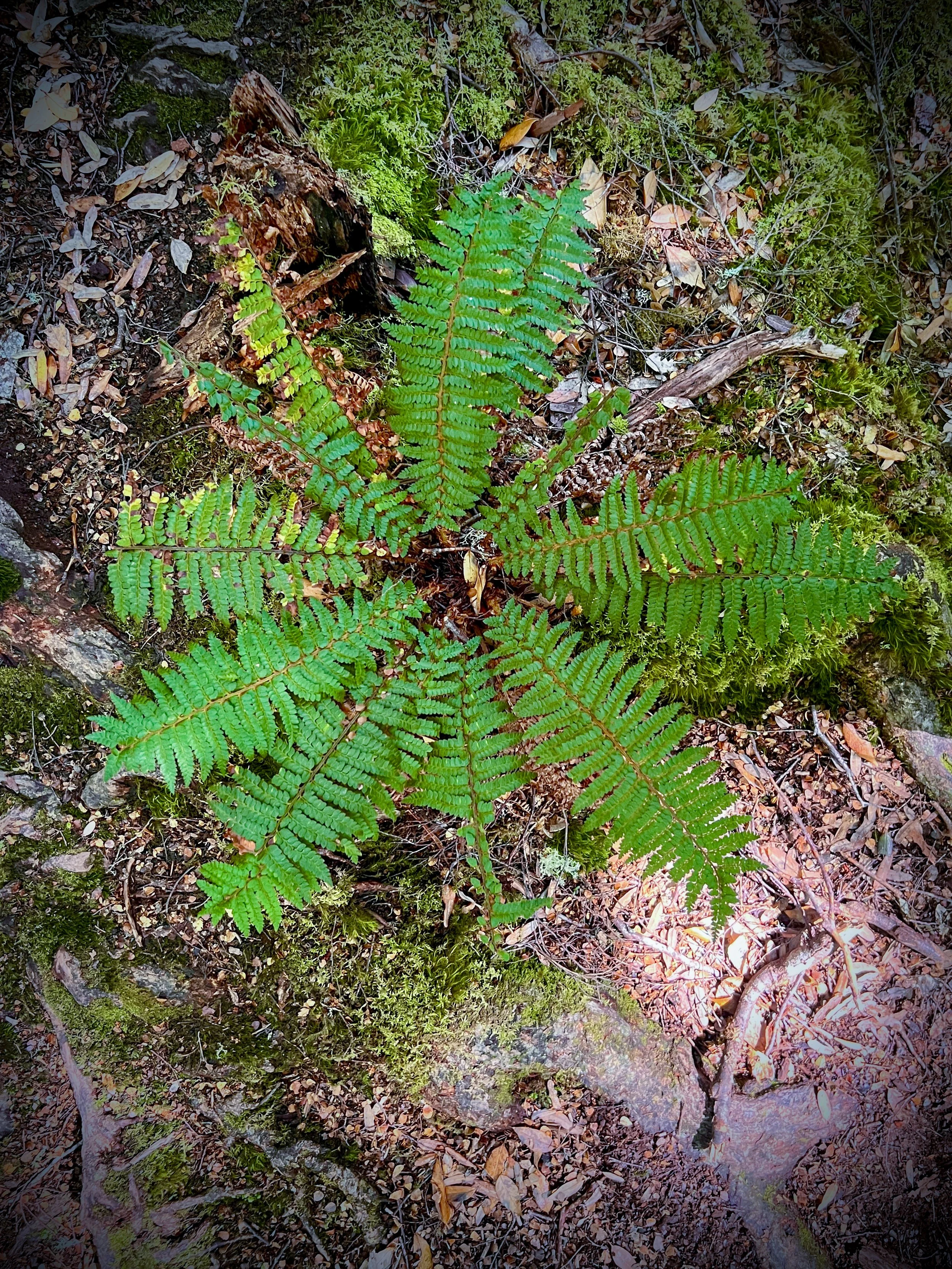
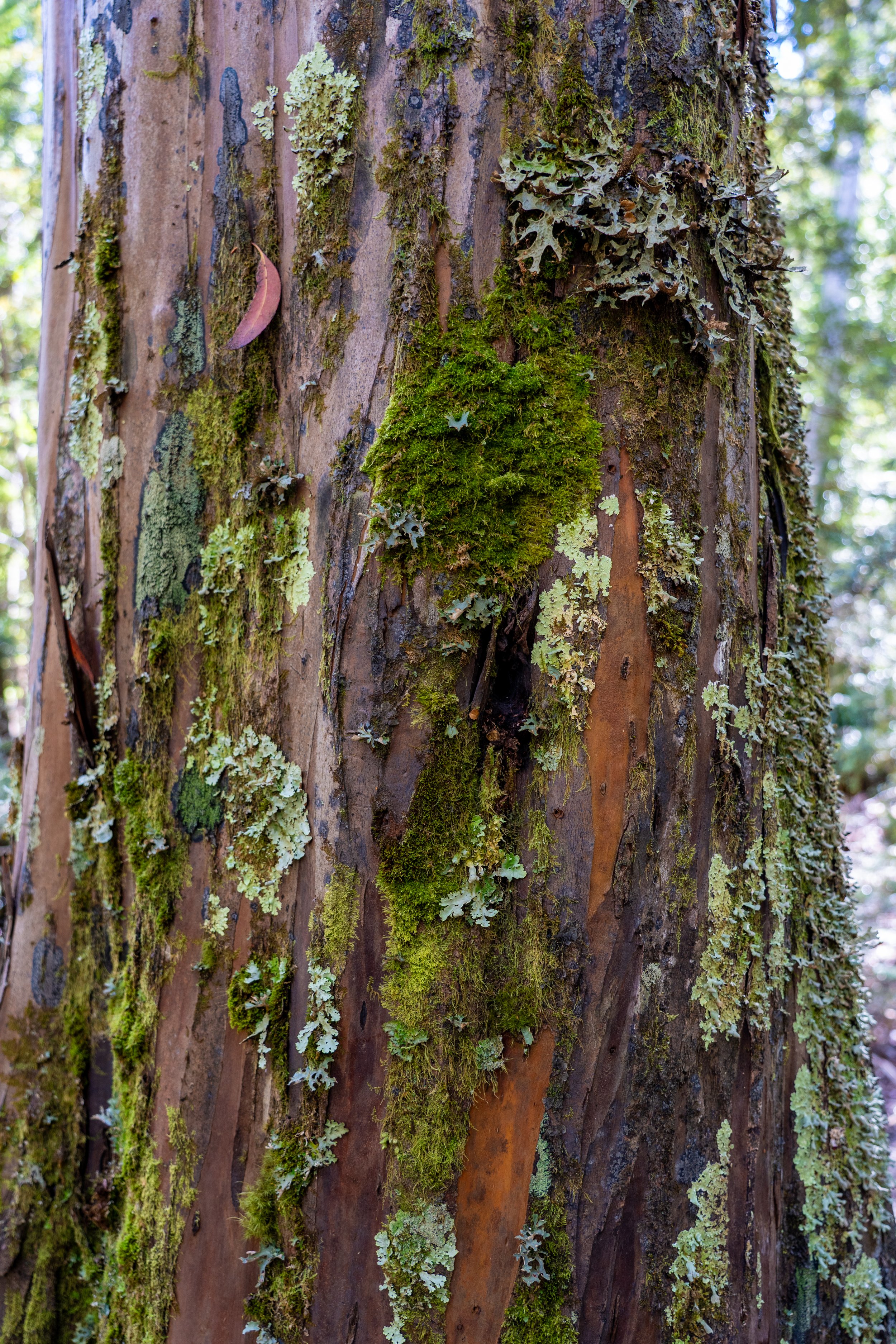
Flowers are scarce beneath the dense canopy, but fungi flourishes in the cool dampness. Passing through ancient trees, the forest begins to feel almost storybook-like — moss-covered logs, tiny trickling streams and fungi in every imaginable colour.
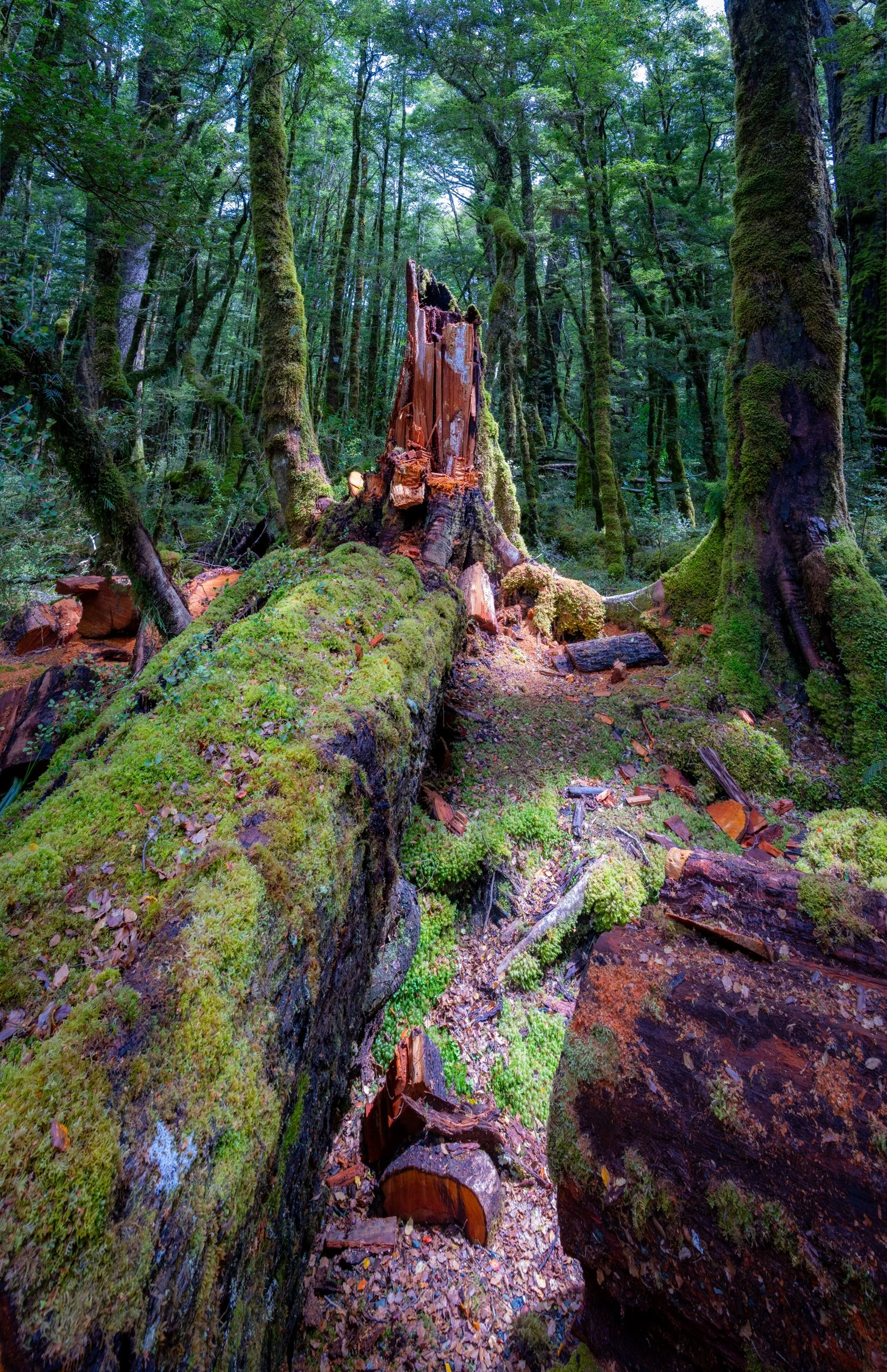
The track itself becomes a labyrinth of roots that twisted across the ground like nature’s own obstacle course. While they didn’t quite manage to ankle-tap anyone, the forest did extract its revenge in other ways. Roland performed his now customary daily fall, this time slipping off a log and landing squarely in knee-deep mud. Meanwhile Megs found herself stranded halfway across a large fallen trunk, stuck like a floundering turtle unable to move either forward or backward. Despite receiving absolutely no assistance from her loving husband, she eventually manages a dismount that would have scored a solid zero from any Olympic gymnastics judge.
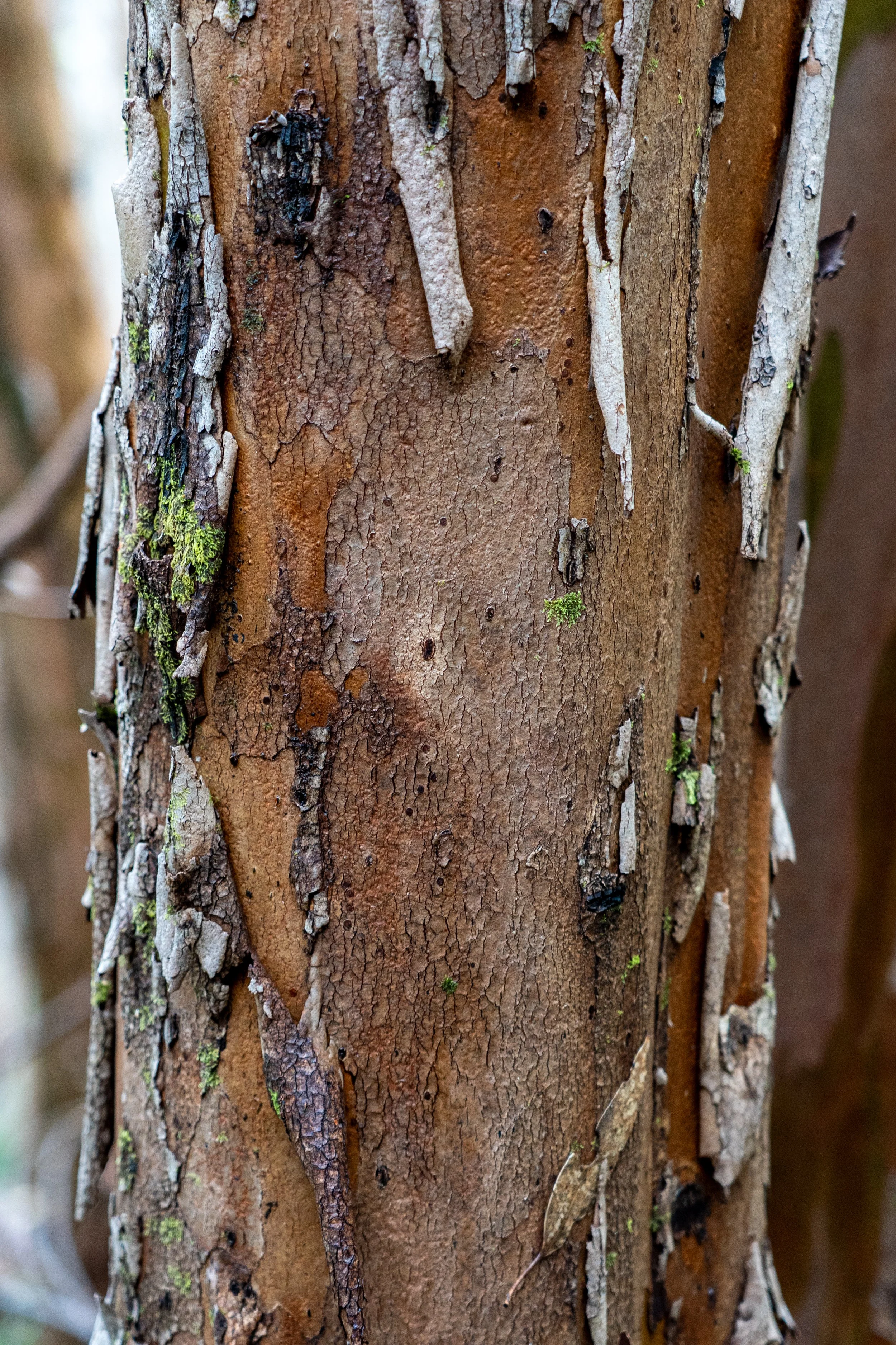
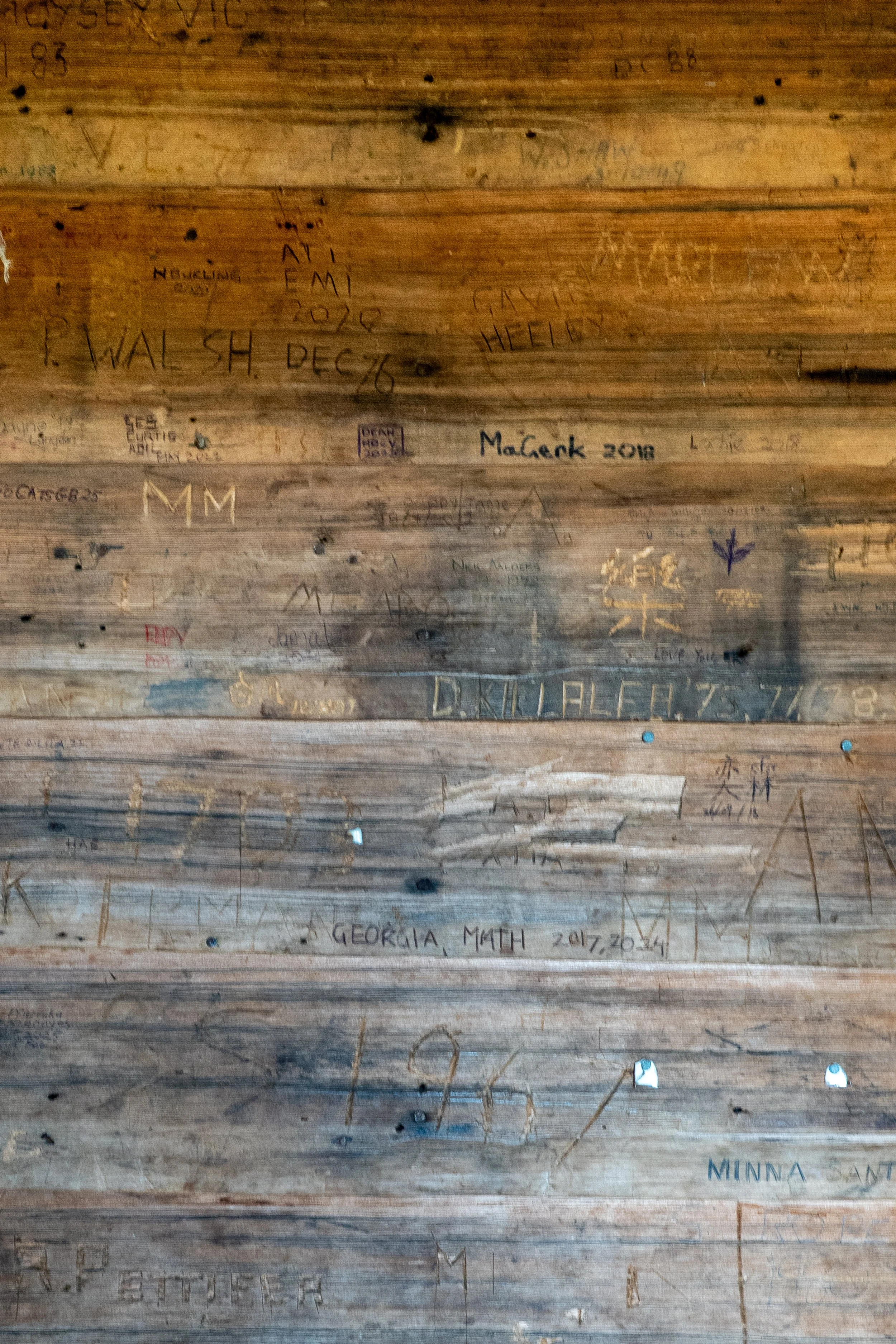
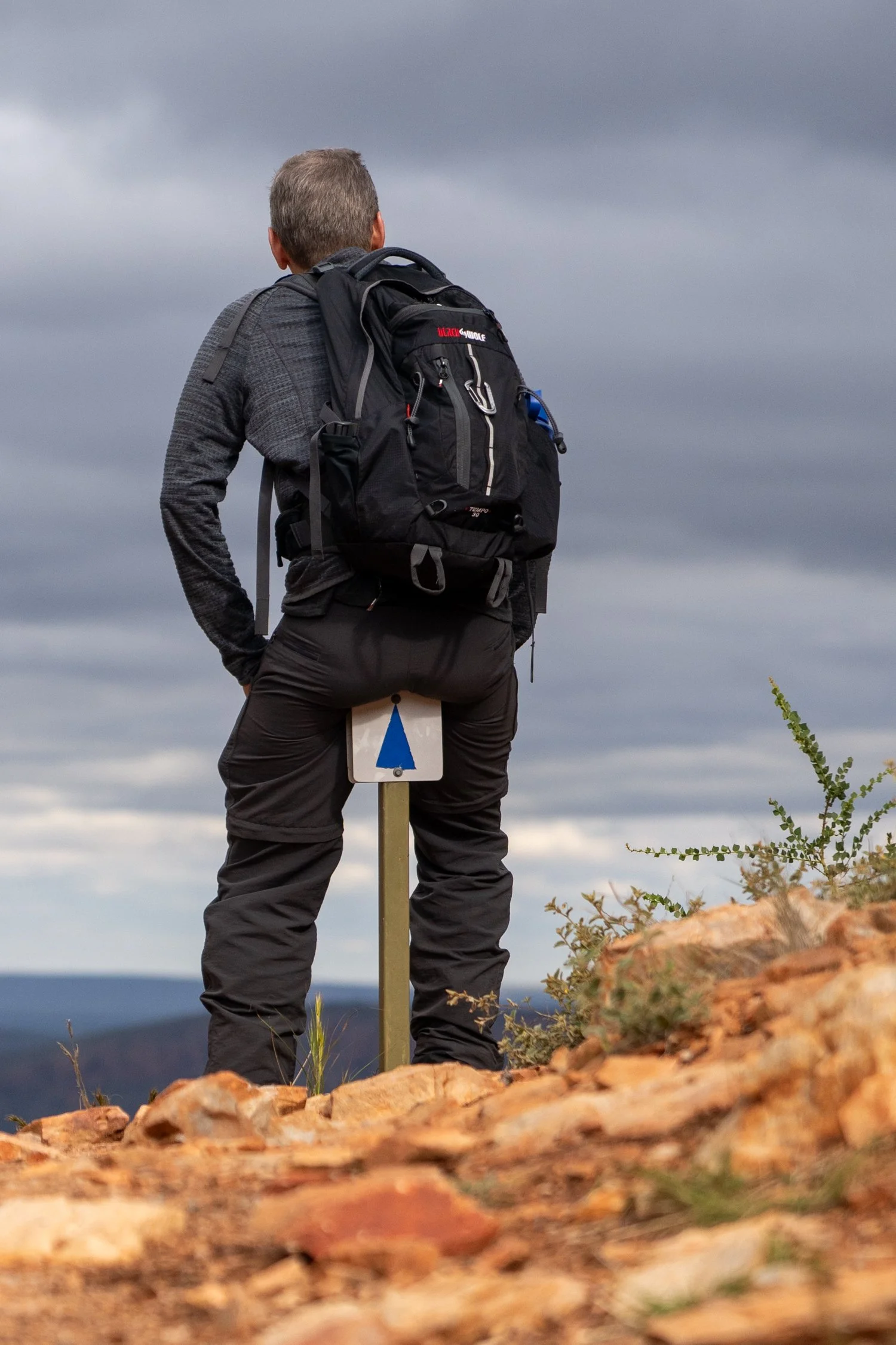
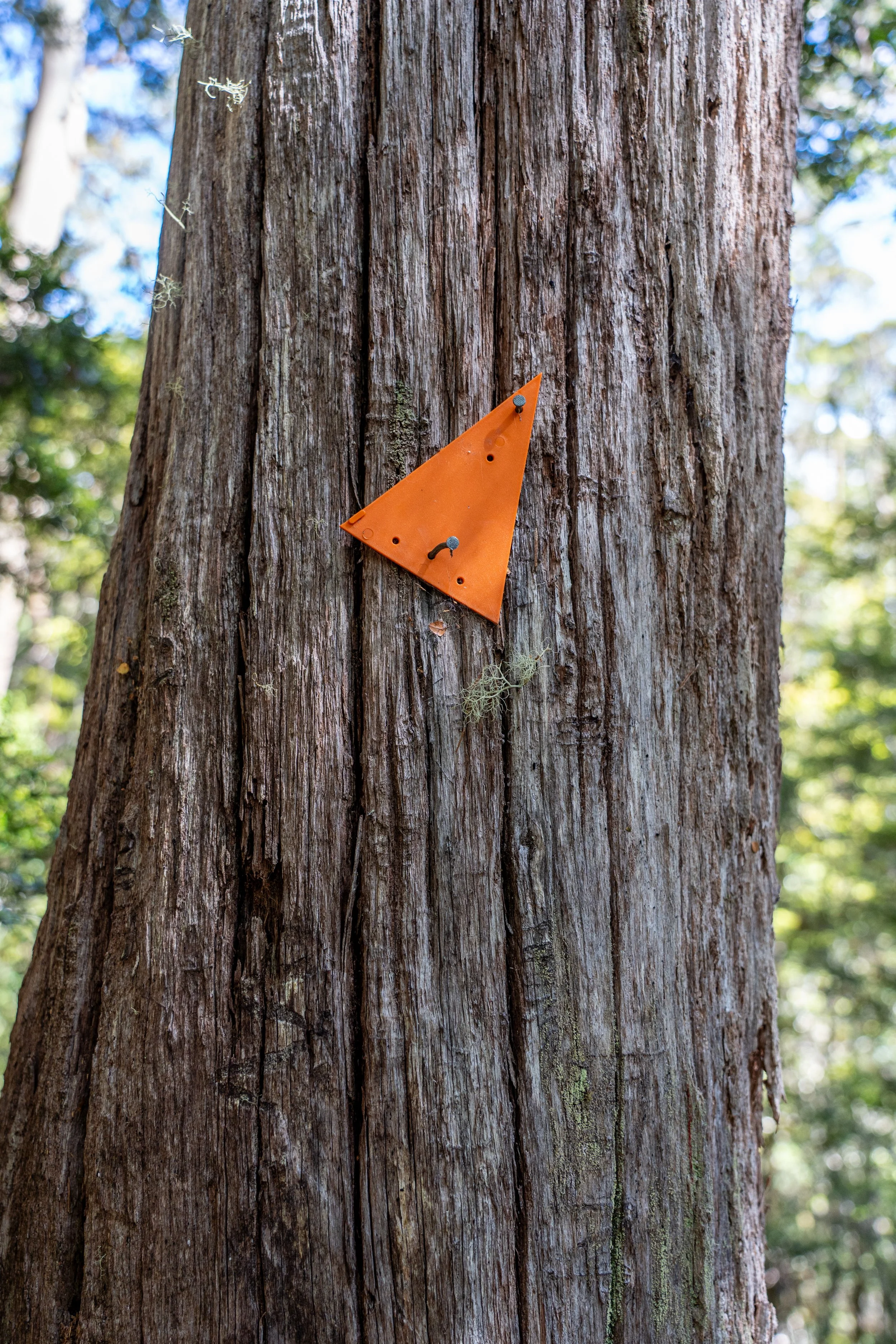
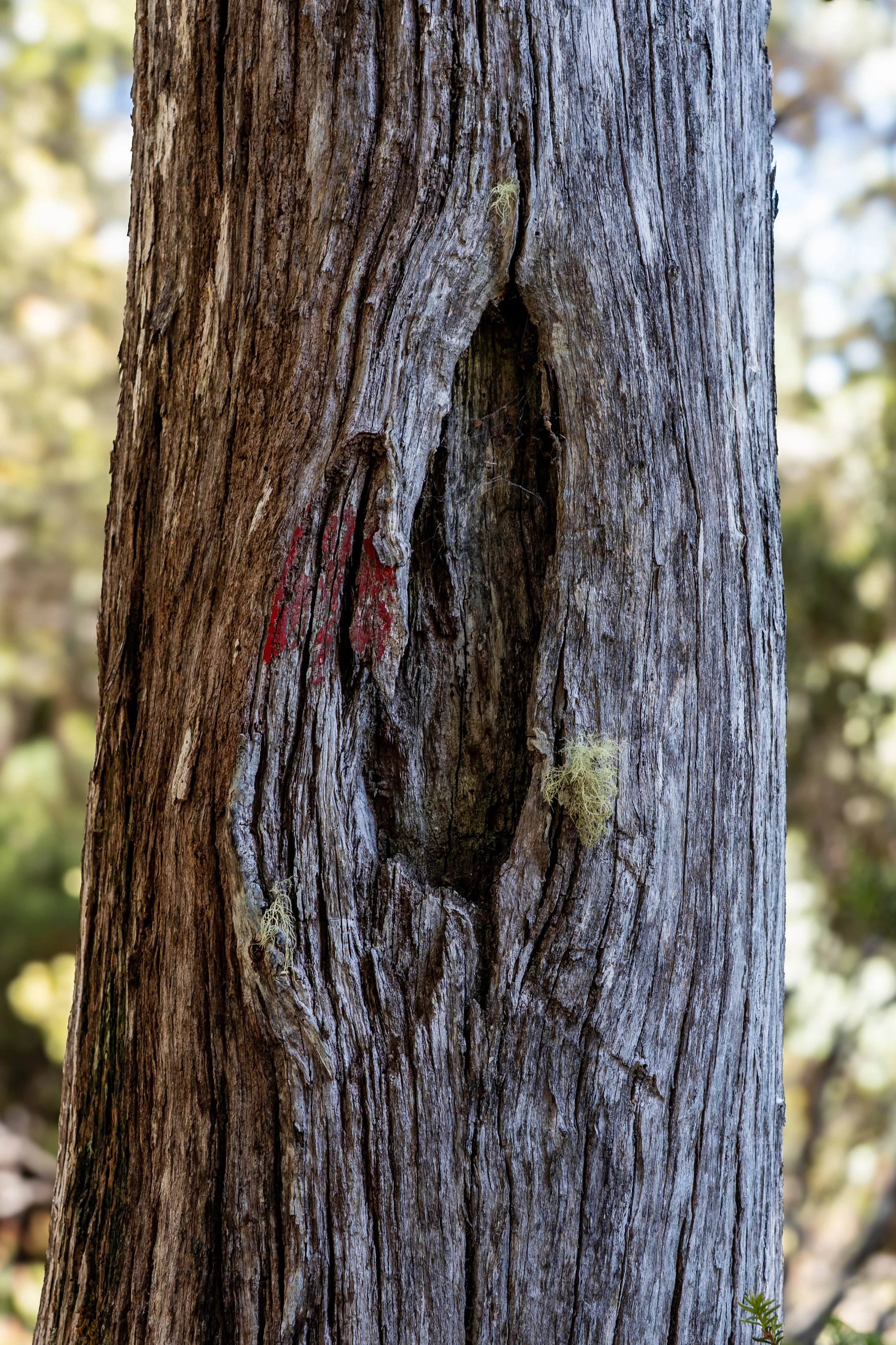
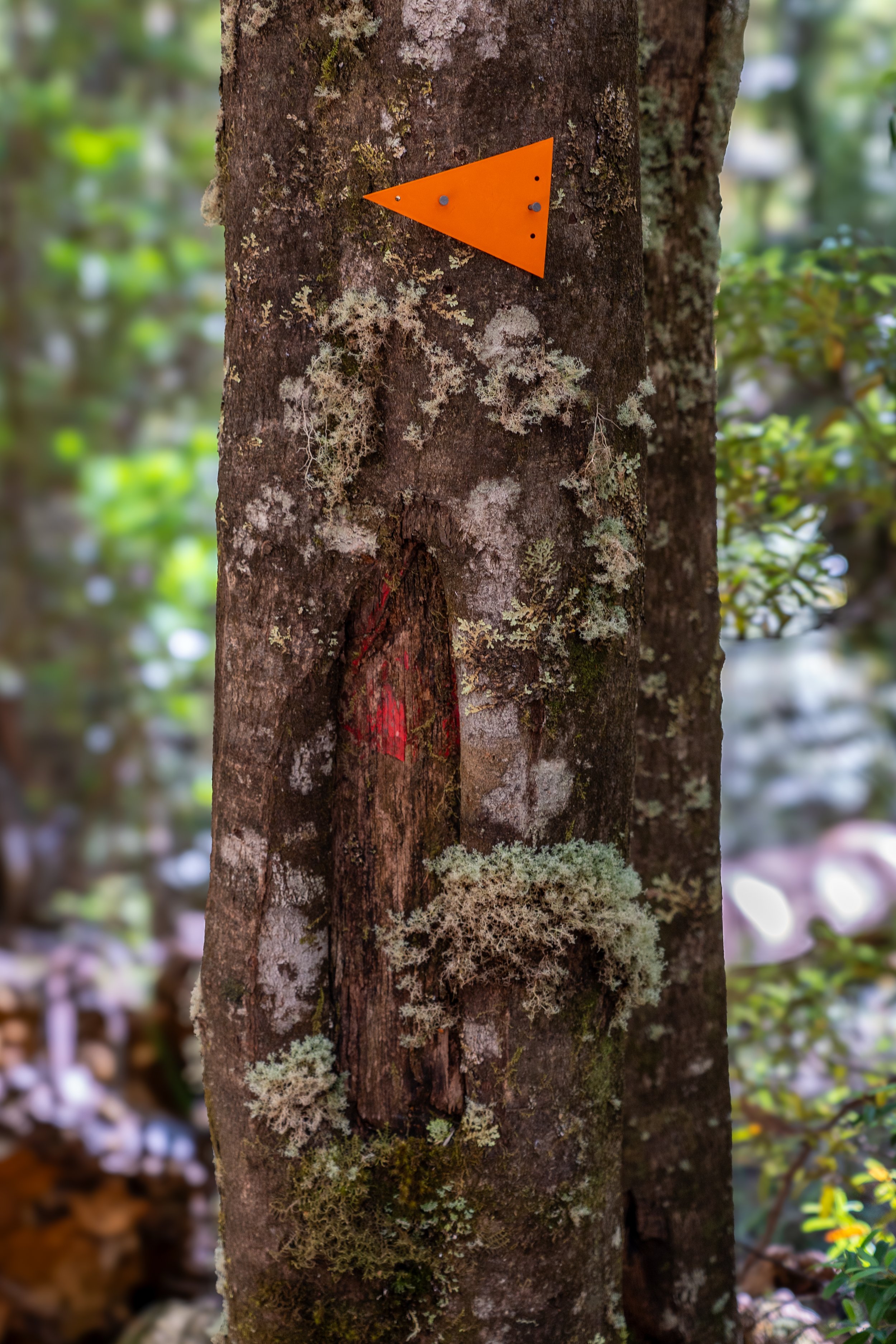
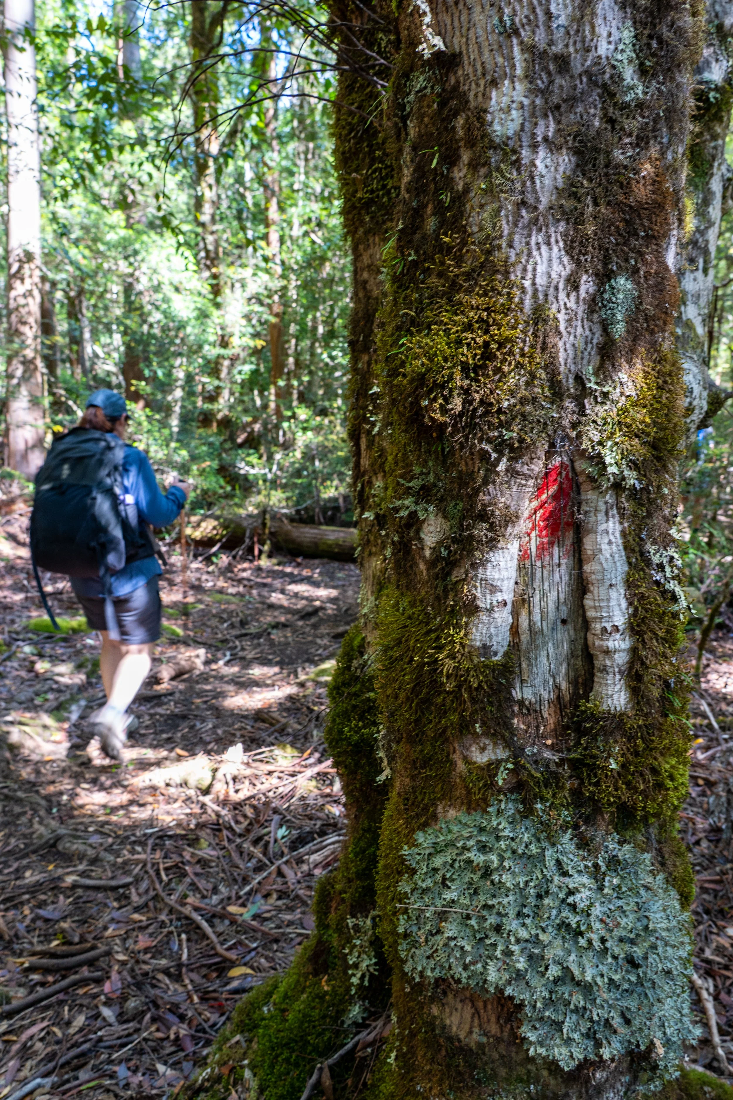
Wandering further through the forest it would be easy to lose the track if not for the trail markers guiding the way. The modern bright-orange triangles stand out like little beacons in the trees, but I find myself more fascinated by the older markings — scars carved into tree trunks by early trappers and hunters. Though softened by moss and bark over the decades, these marks still remain, quiet reminders of those who travelled here long before hiking poles and Gore-Tex jackets.
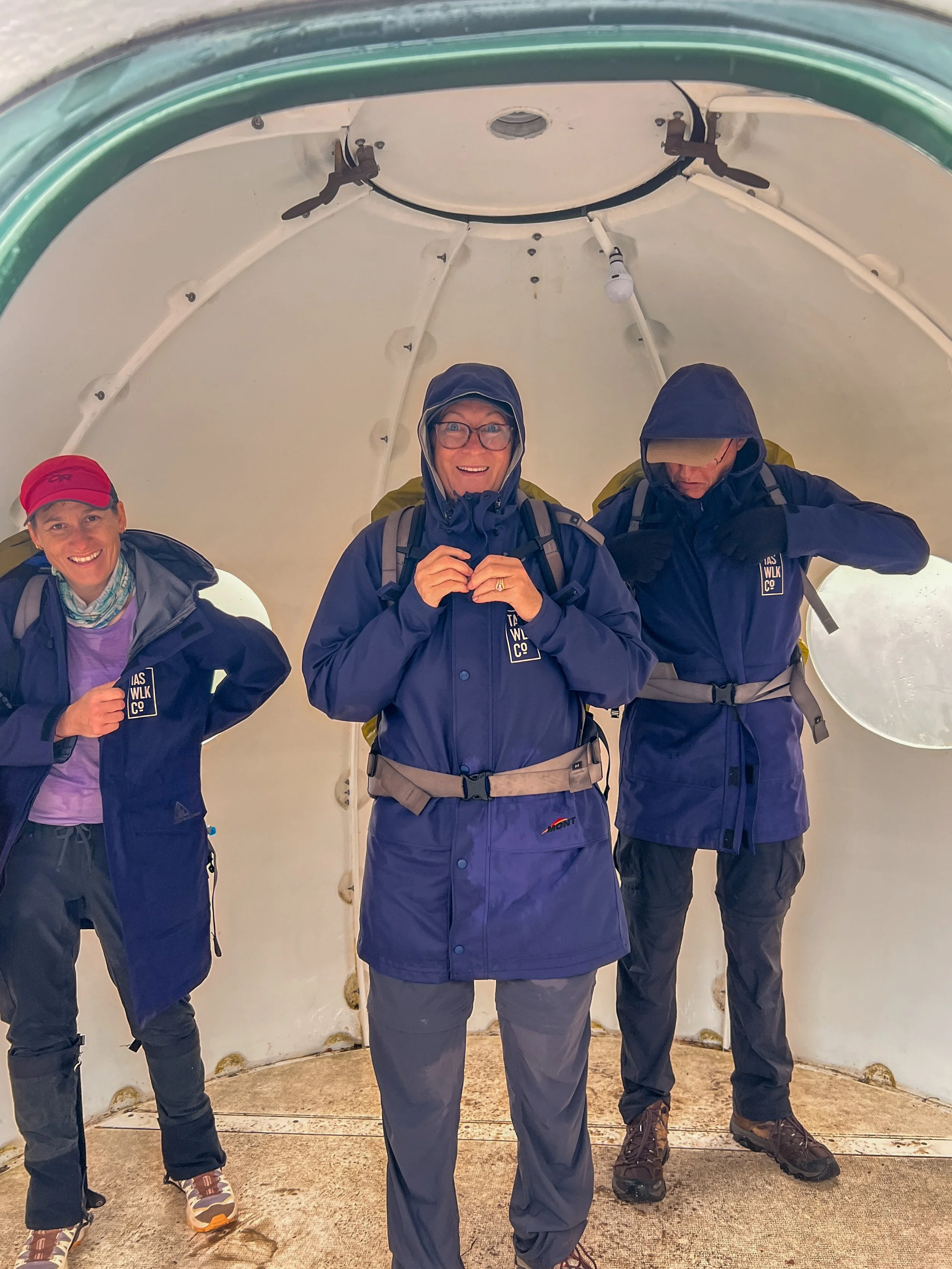
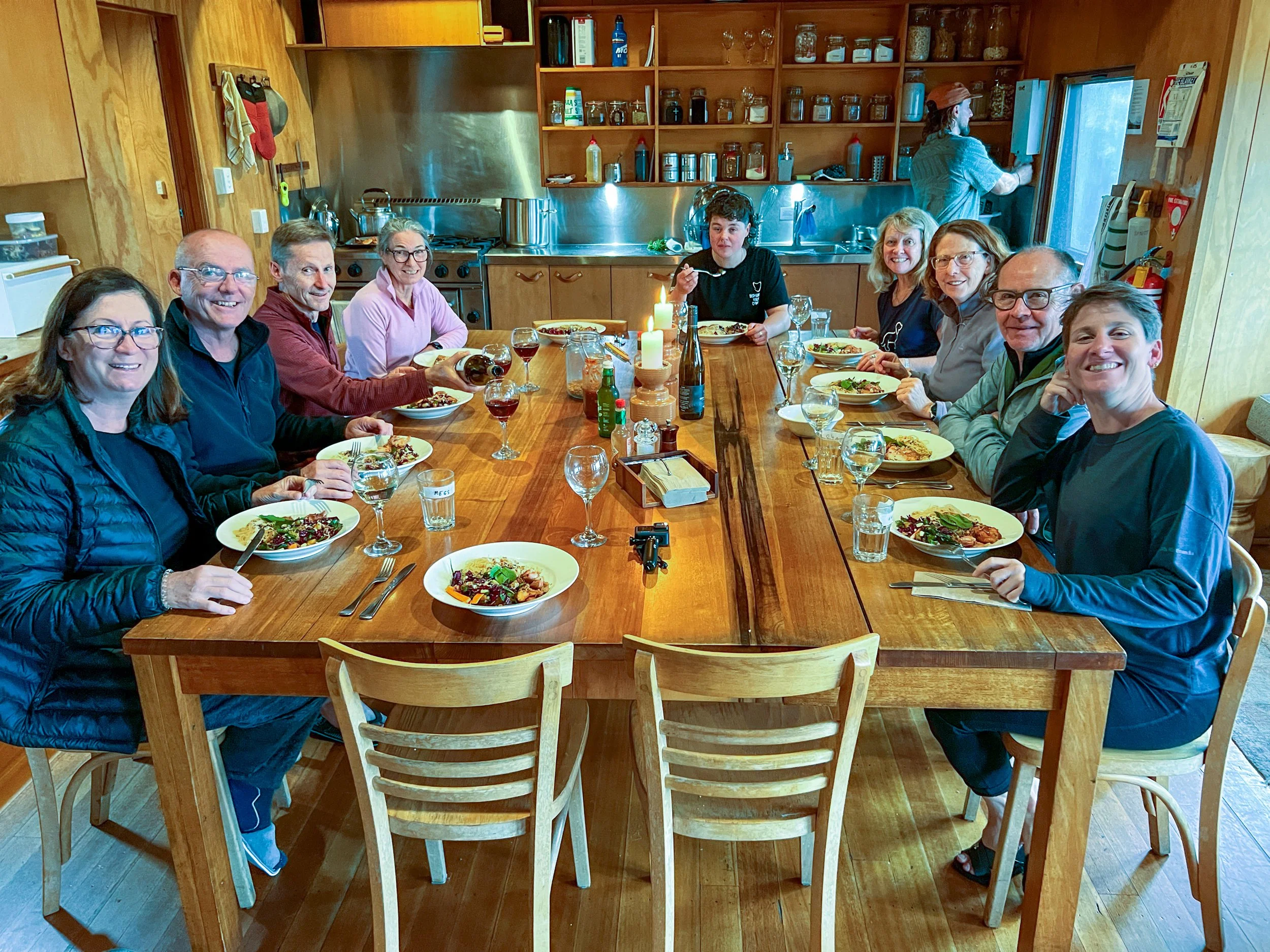
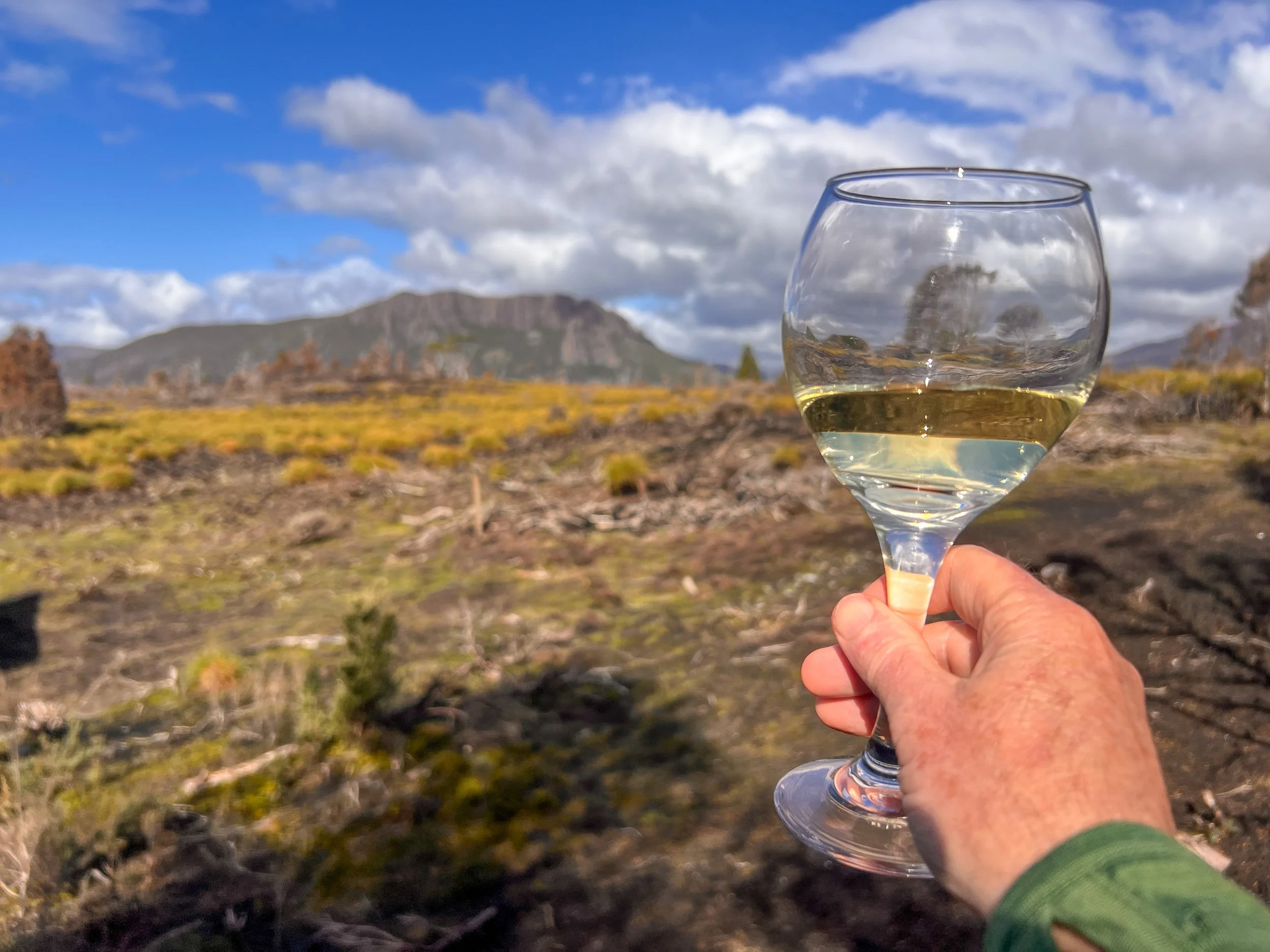
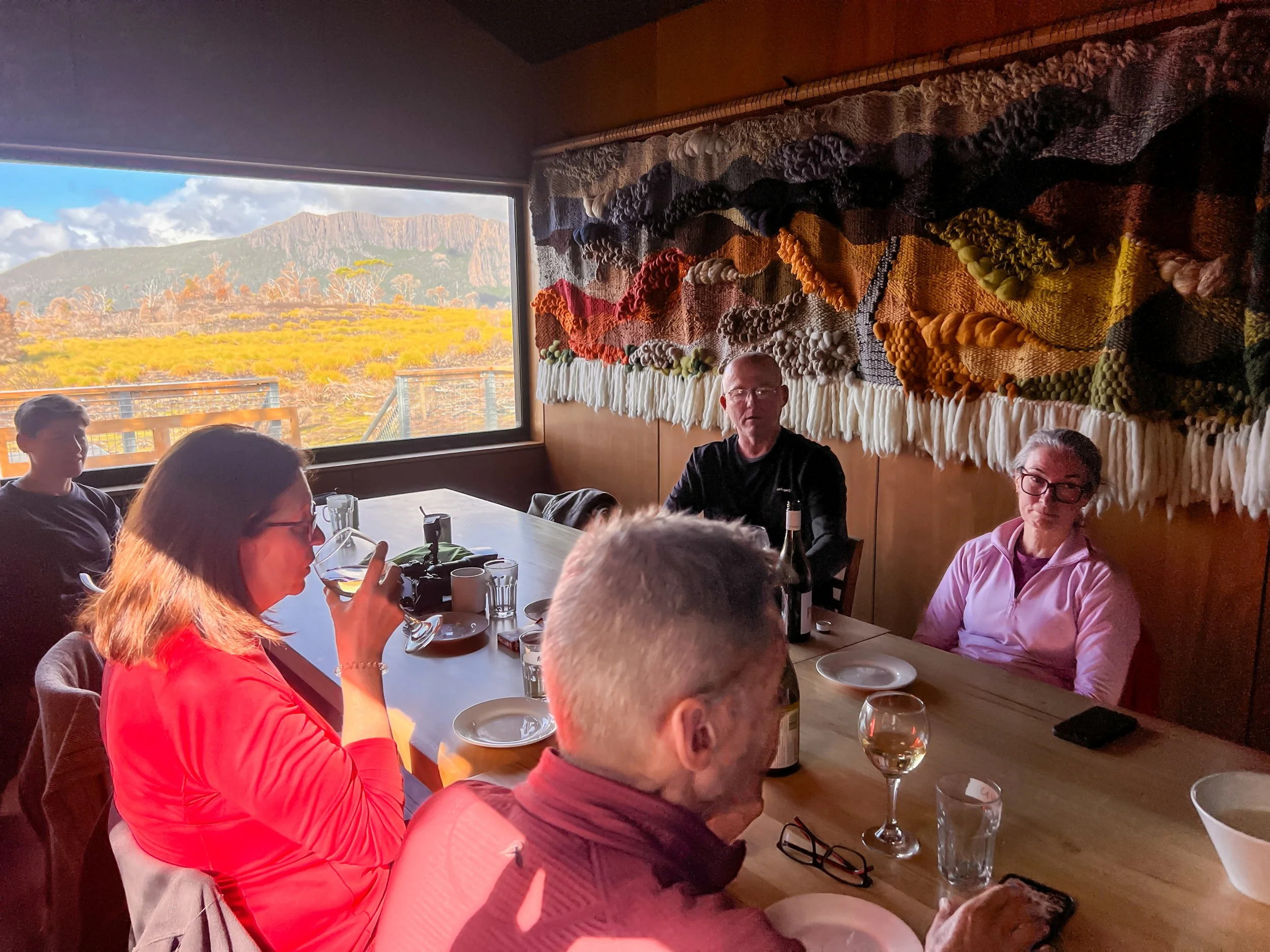
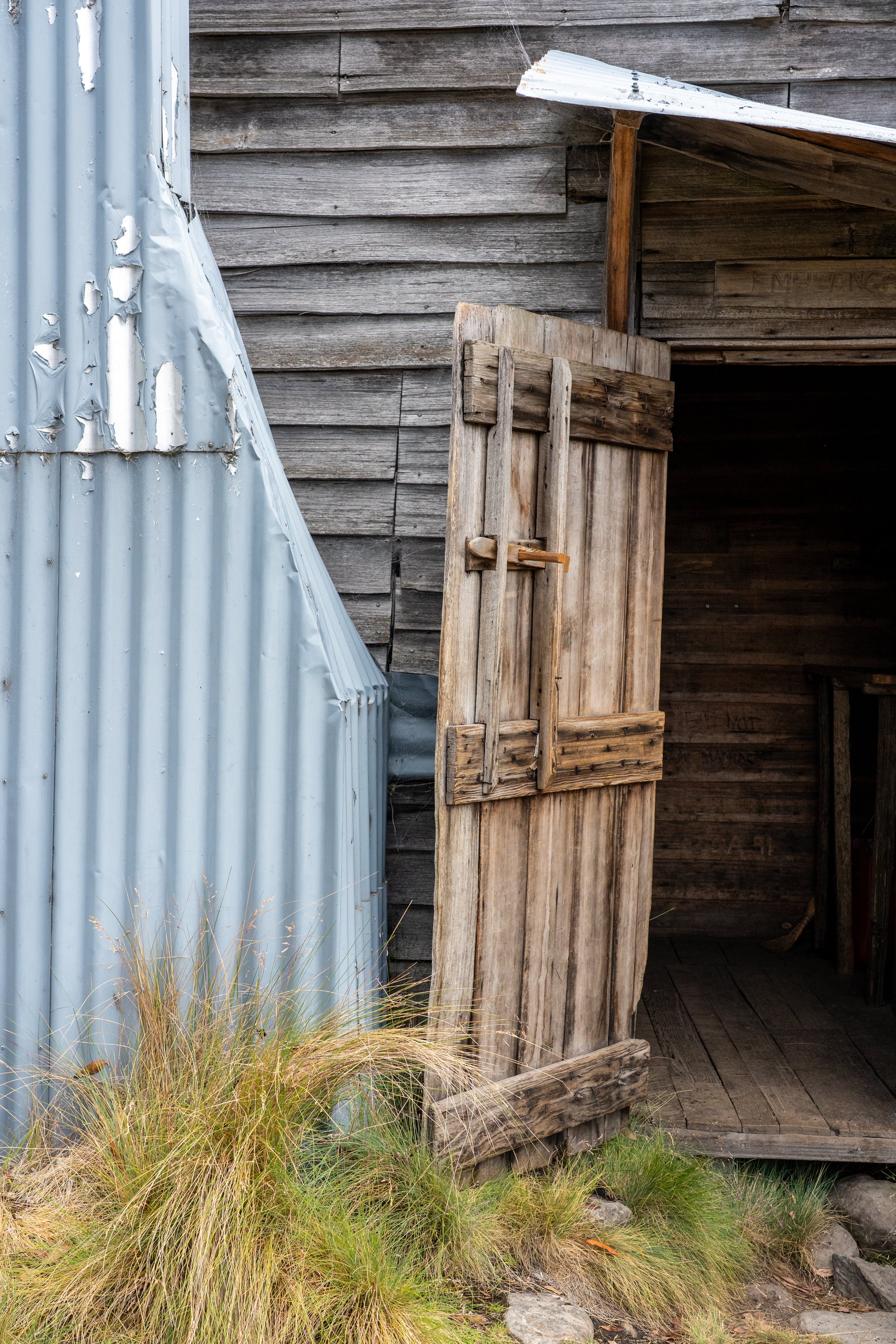
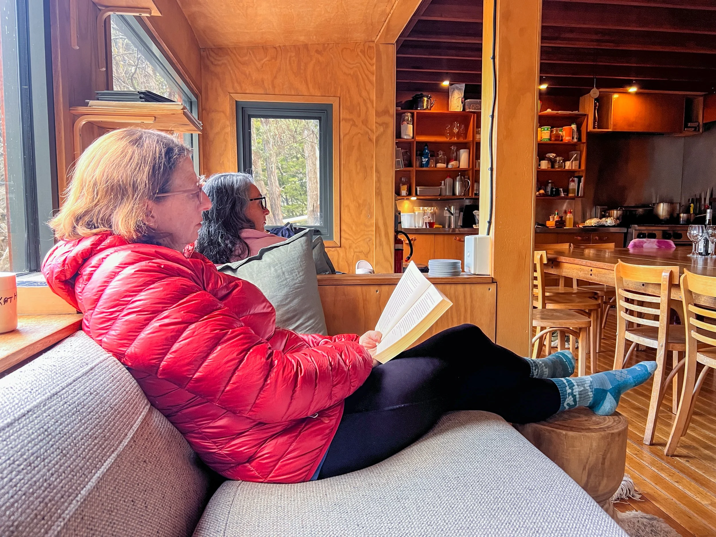
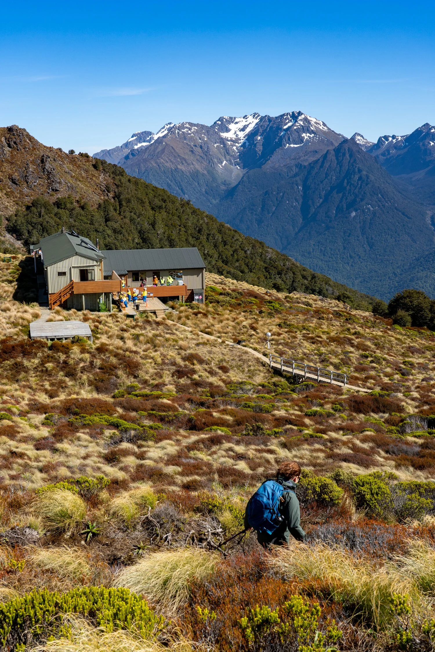
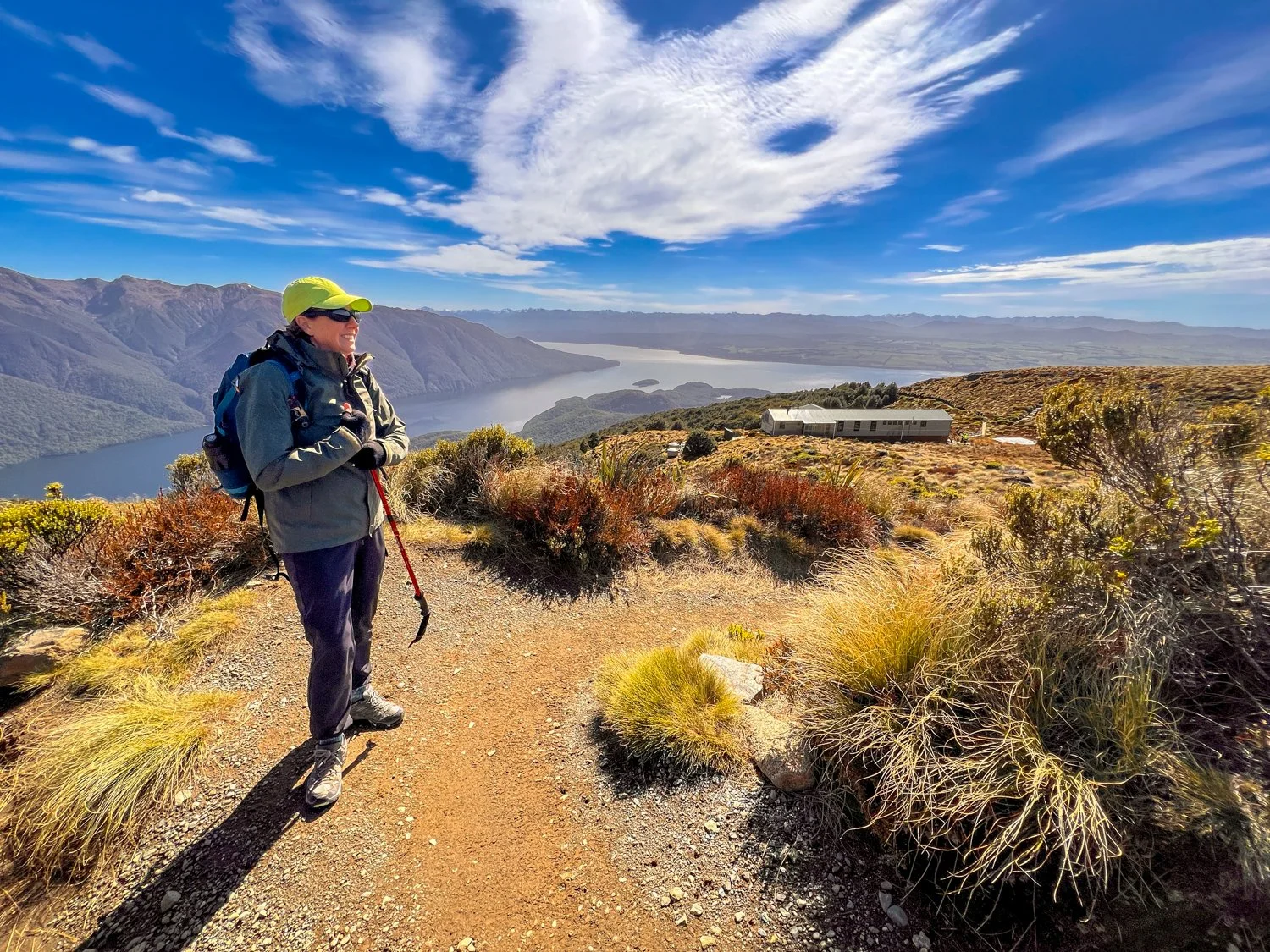
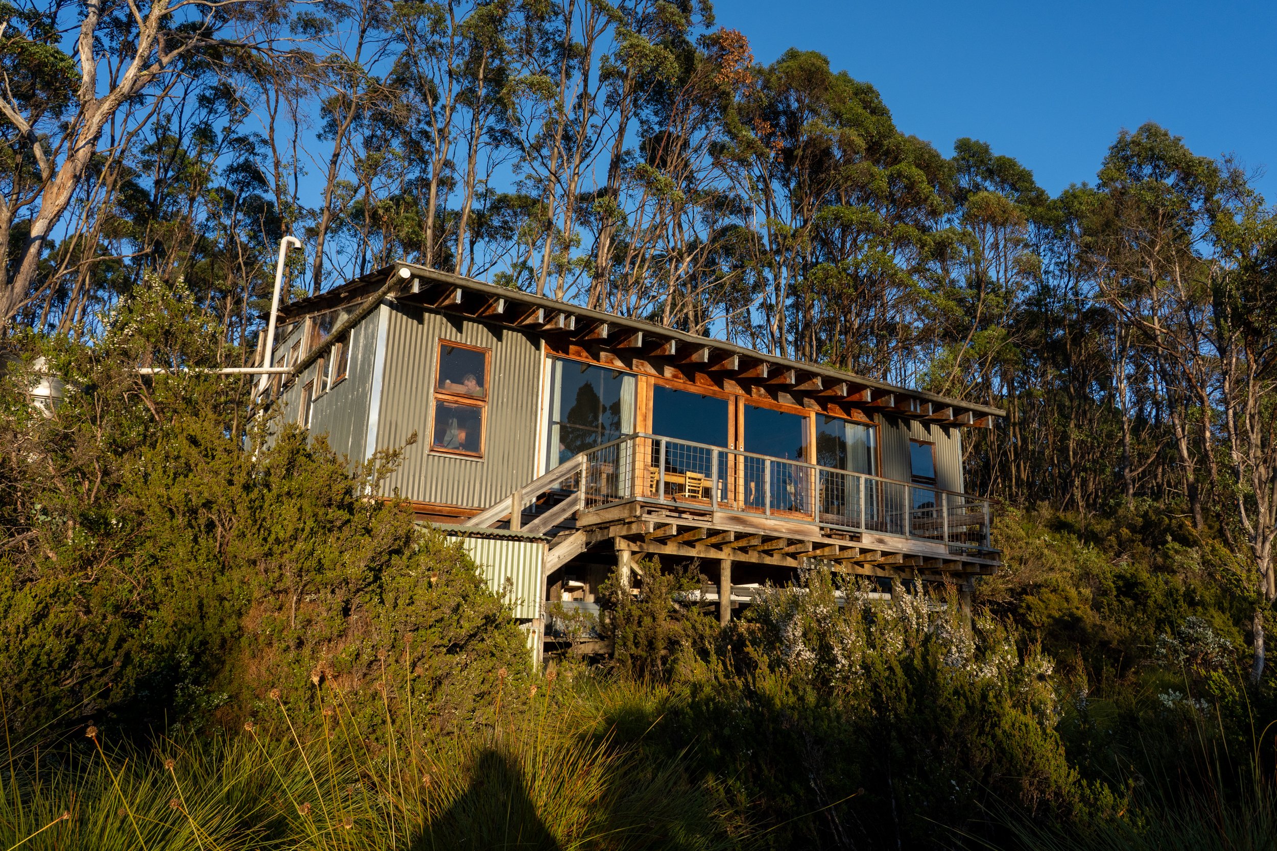
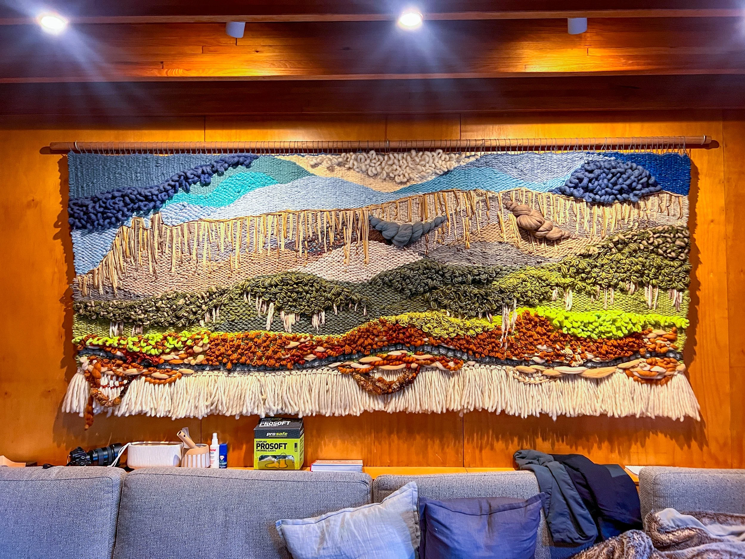
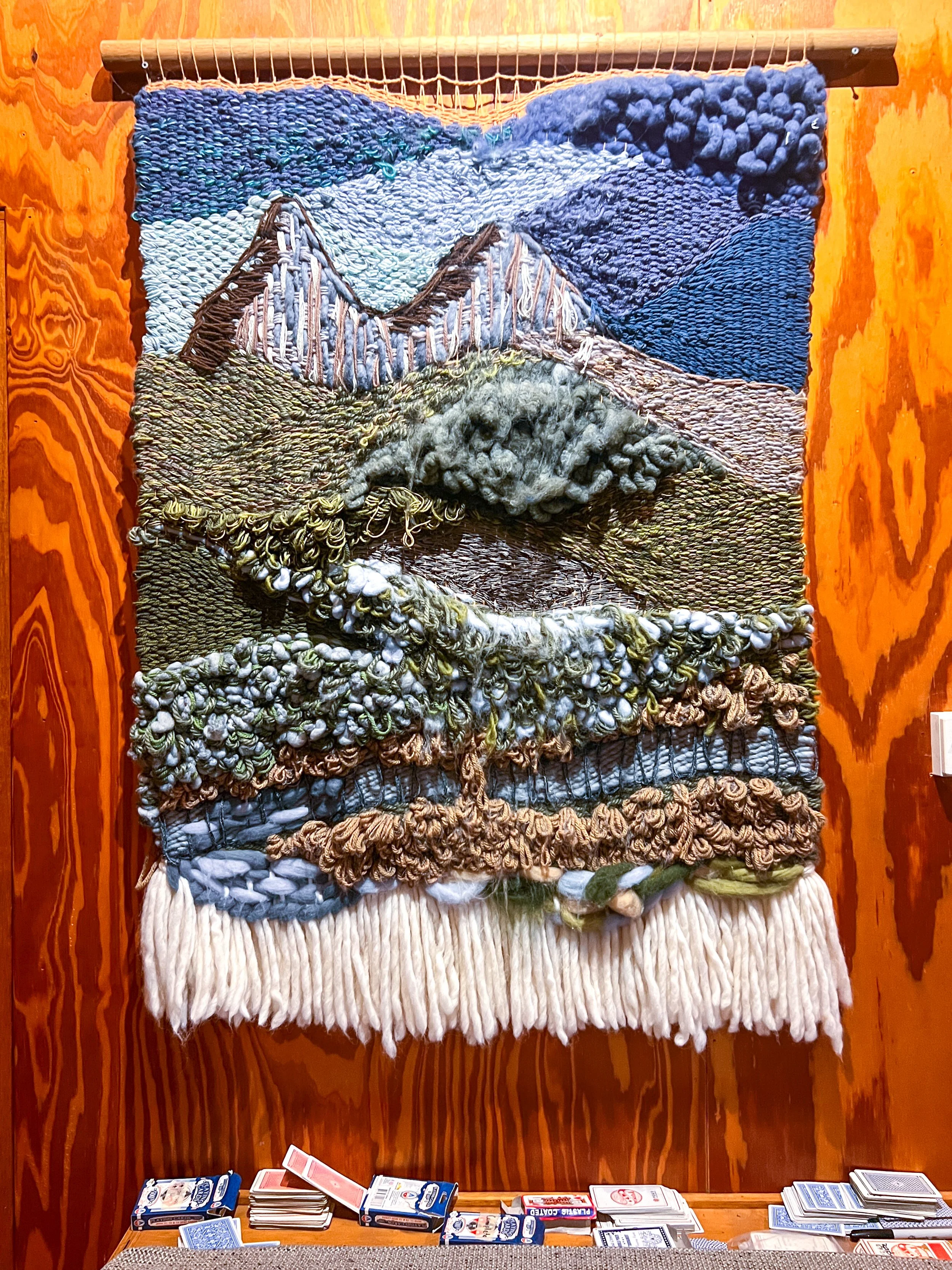
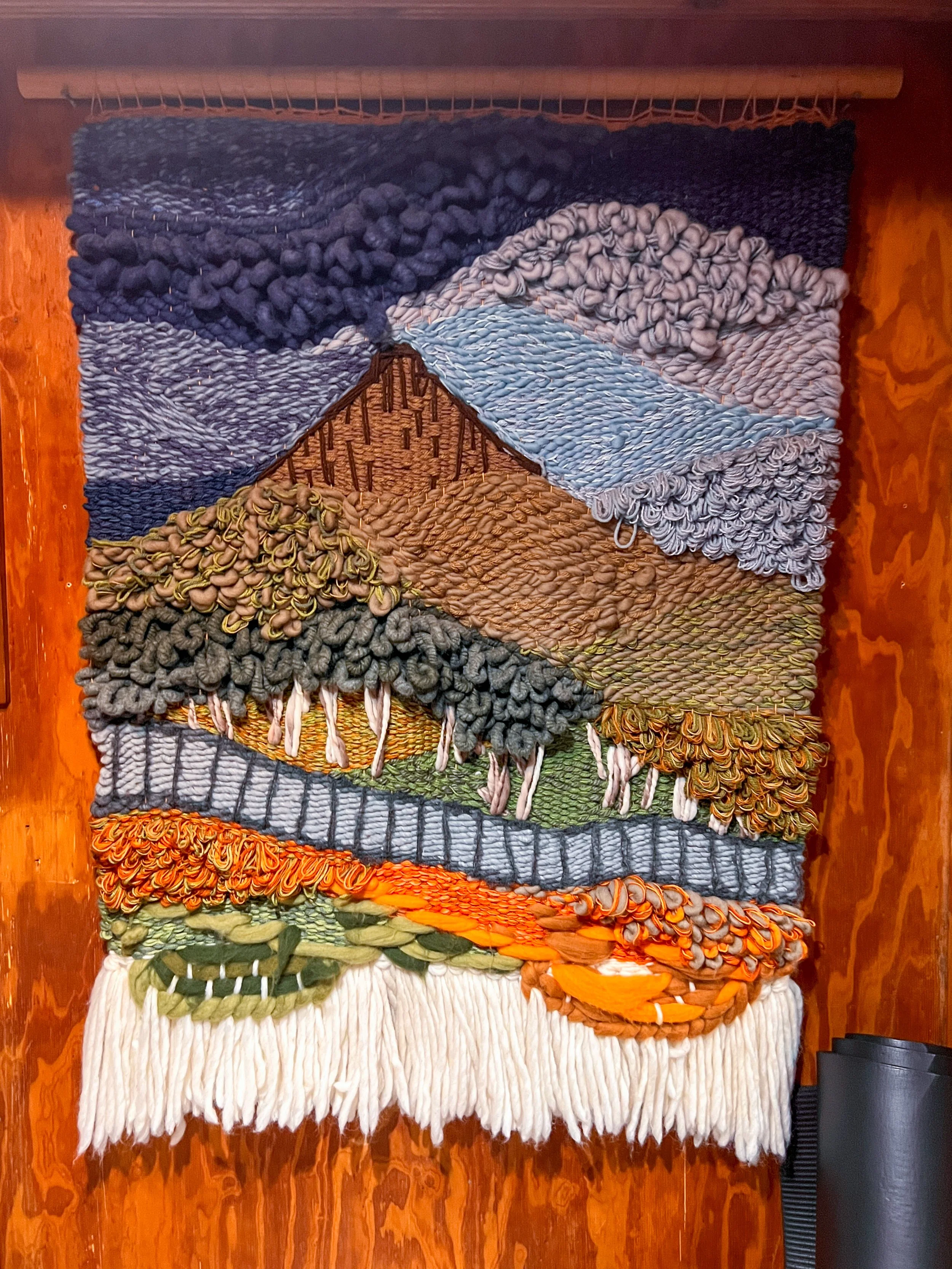
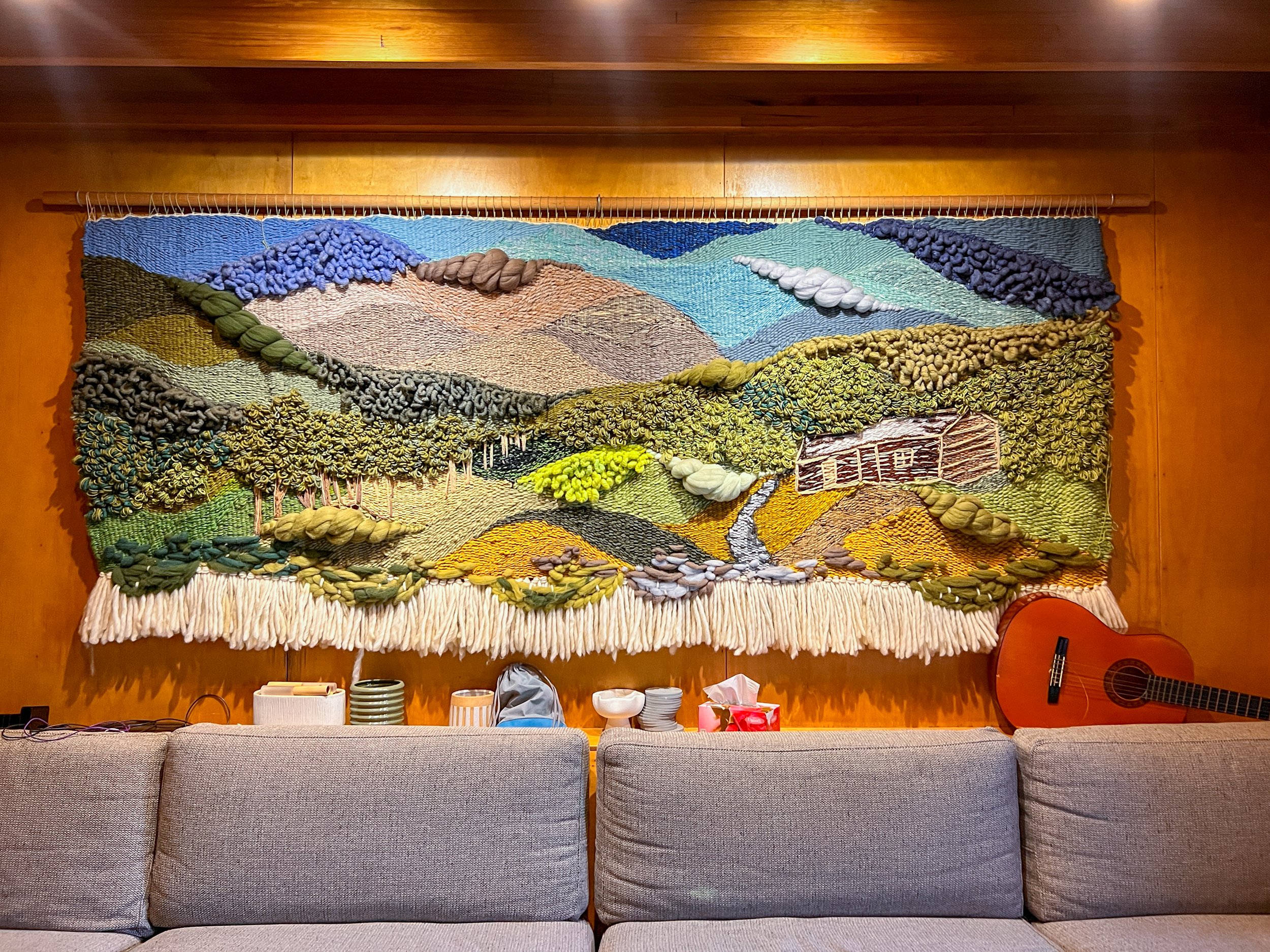
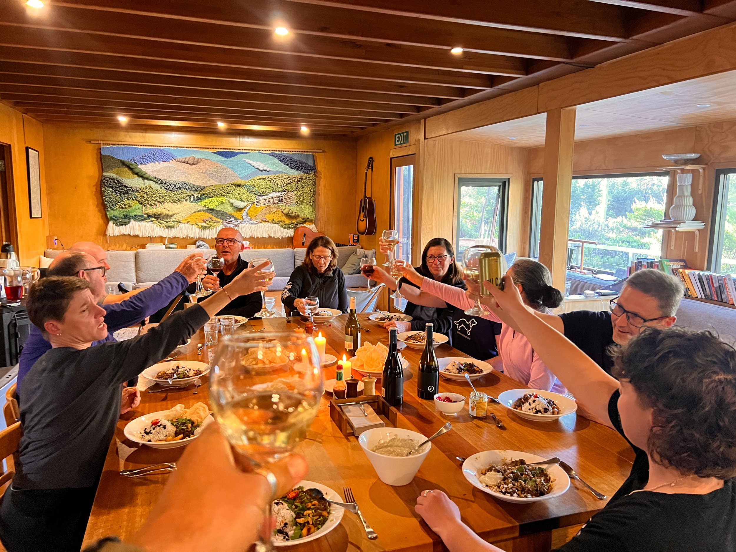
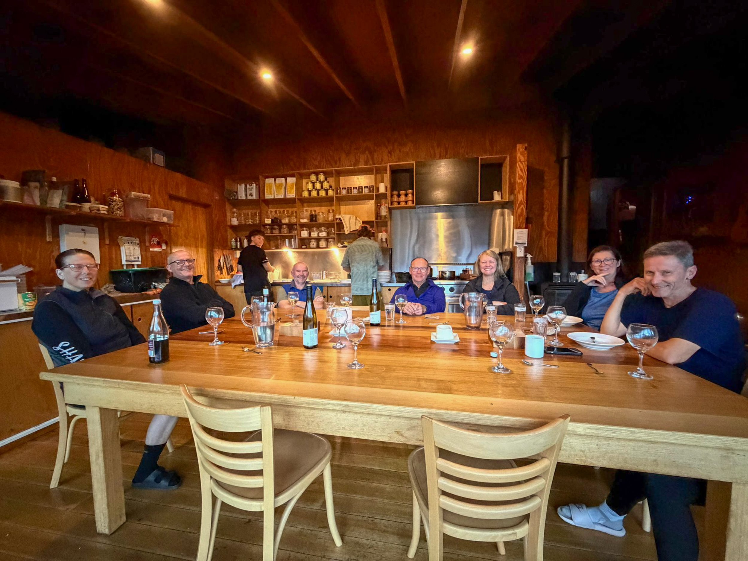
Eventually we emerge at Windy Ridge Hut, greeted immediately by the comforting smell of dinner being prepared and the familiar woven wool wall panels. Each hut along the track is decorated with these beautiful artworks — intricate wool tapestries depicting nearby mountains and landscapes.
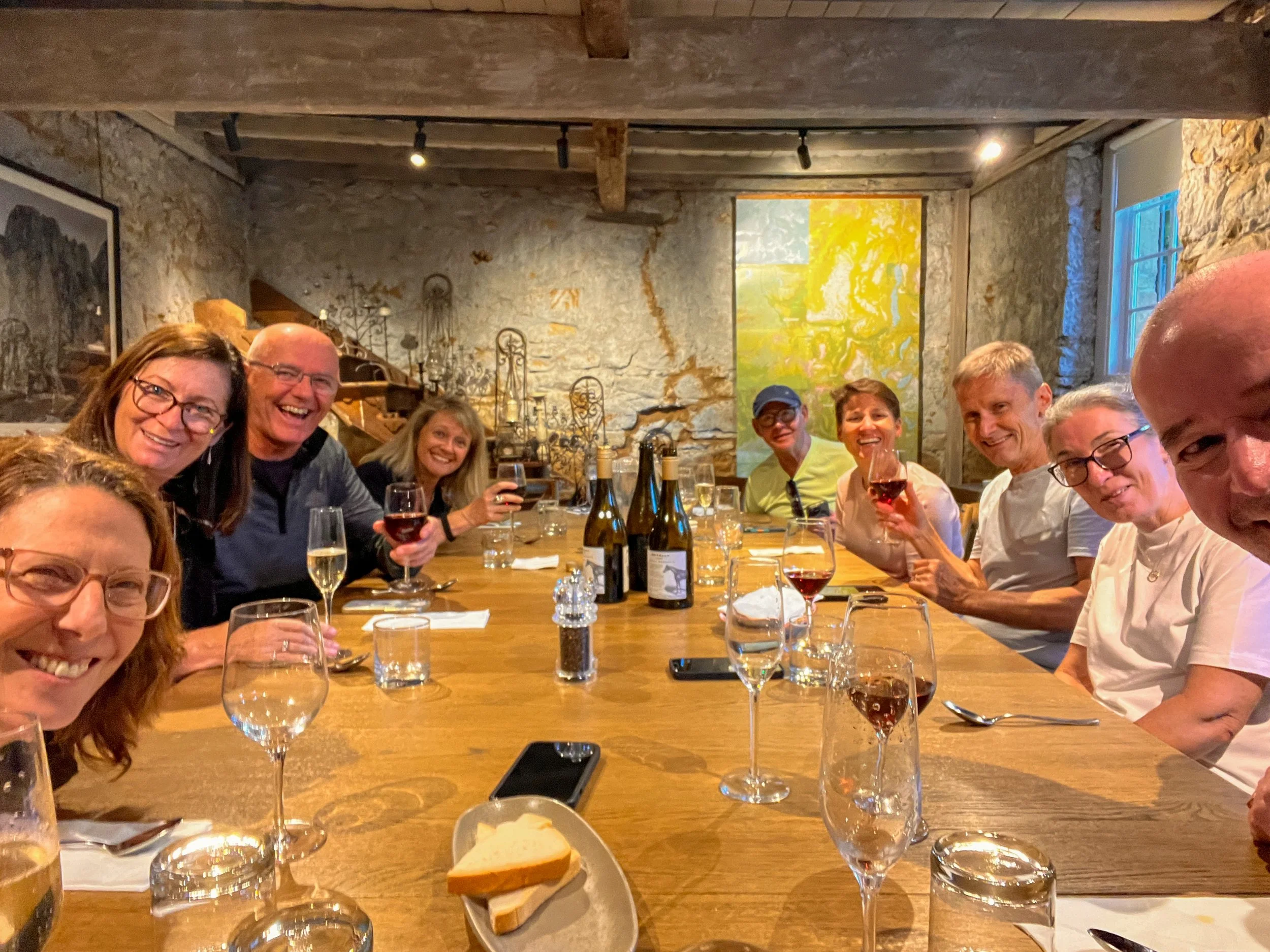
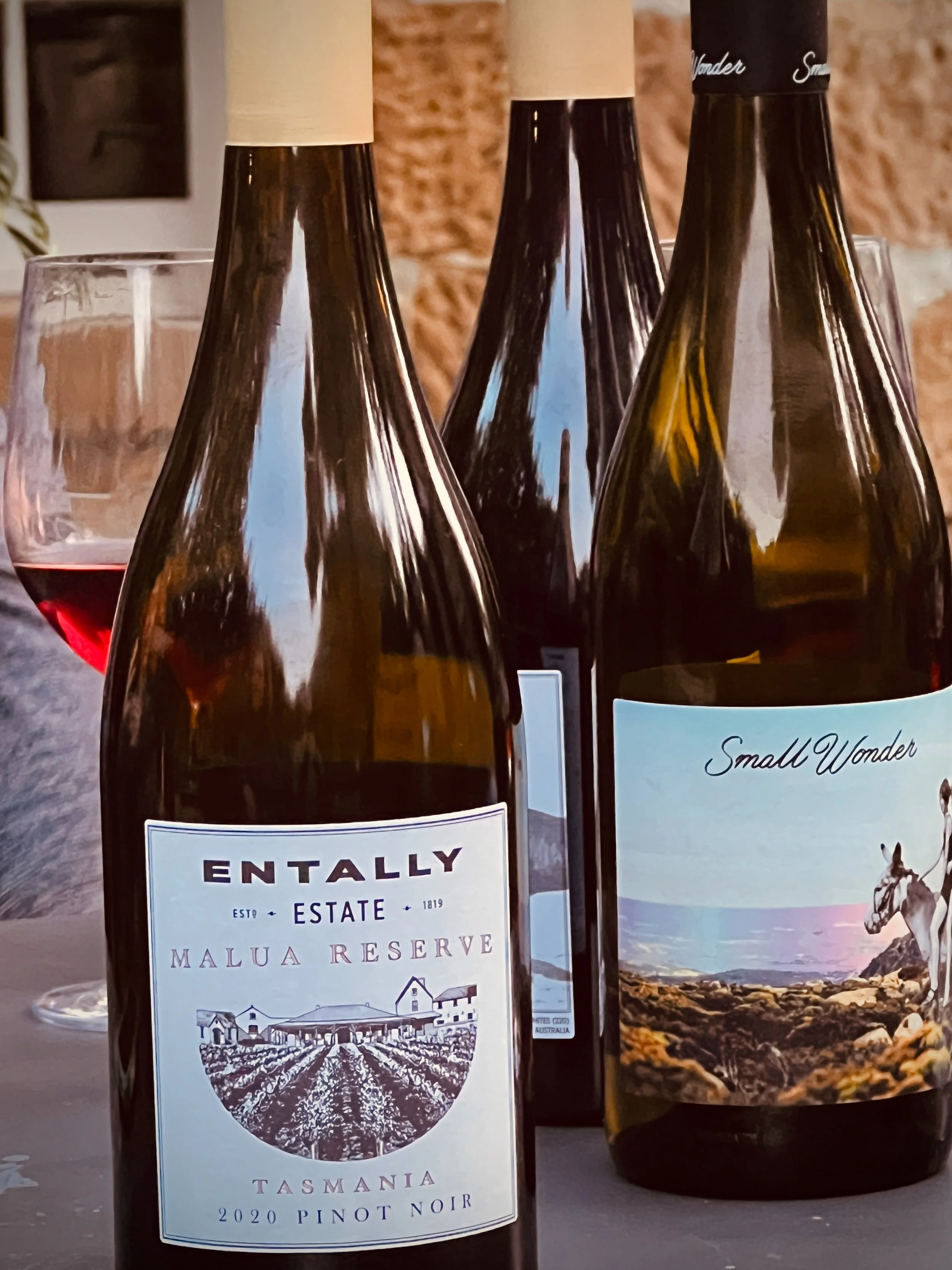
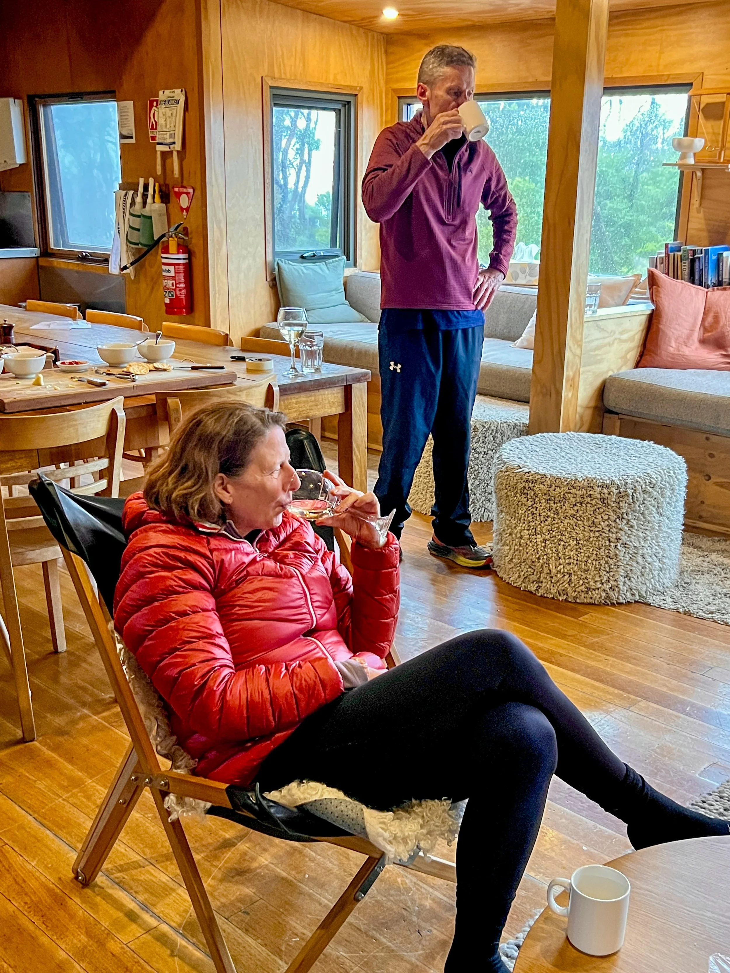
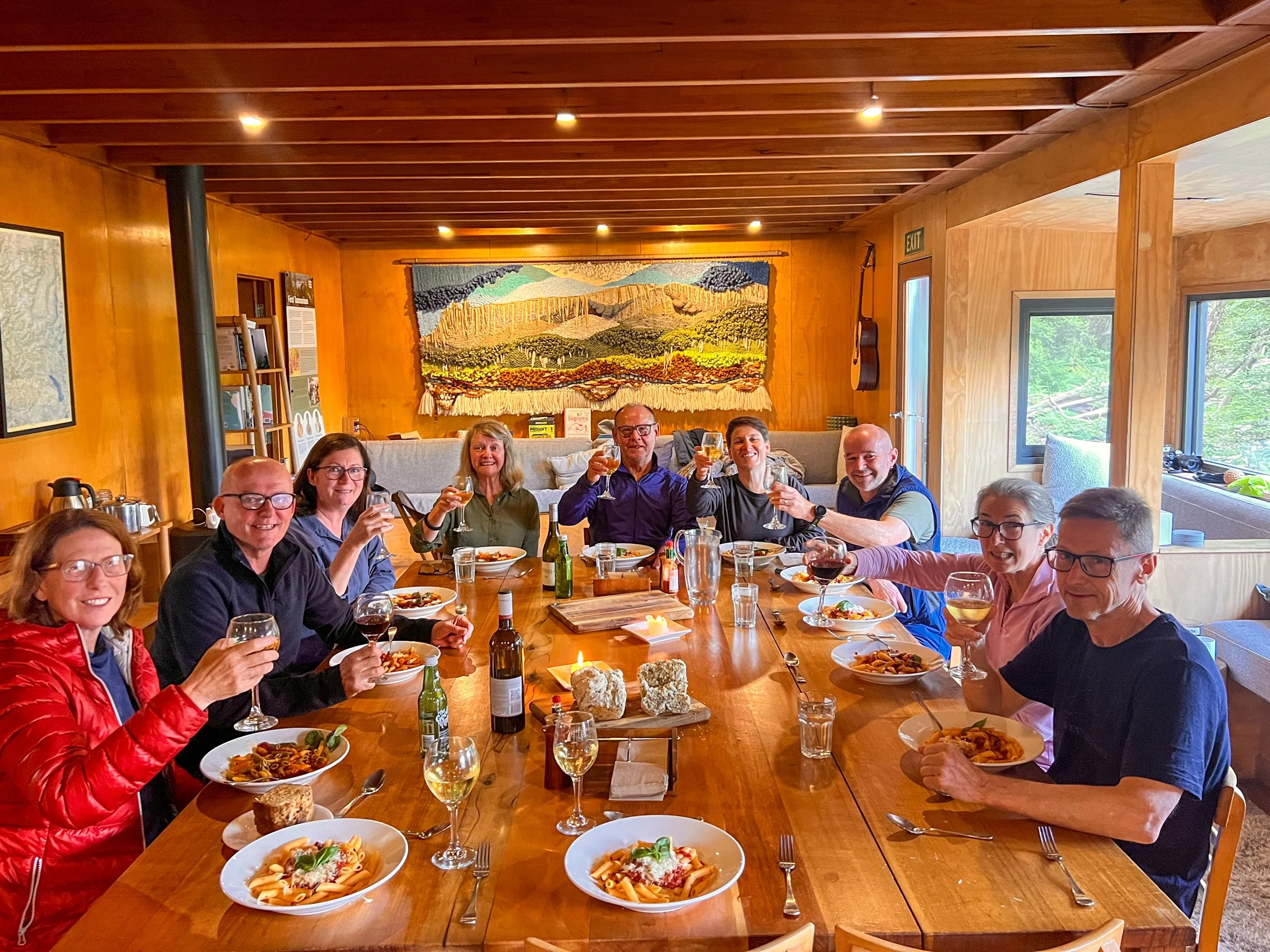
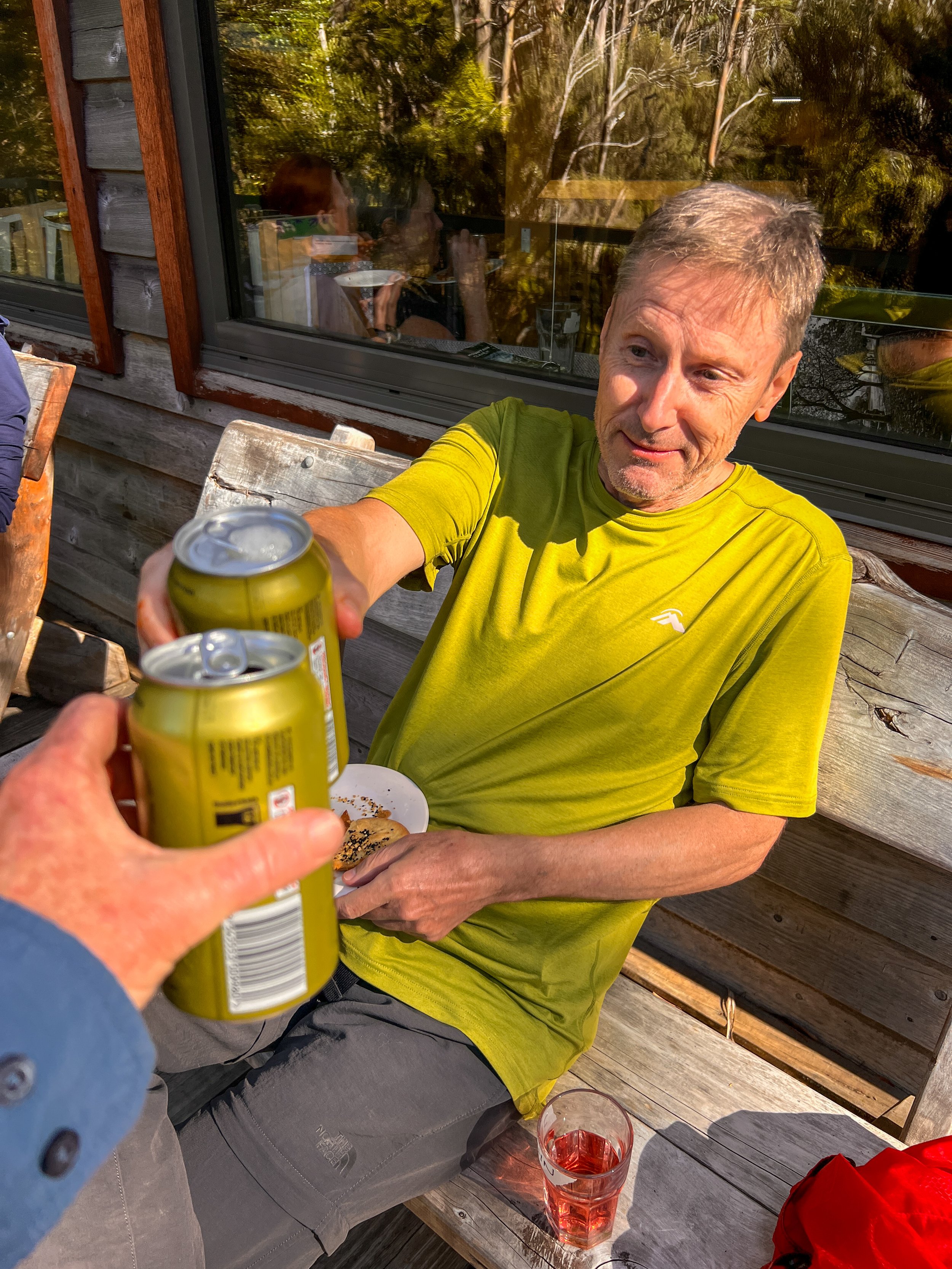
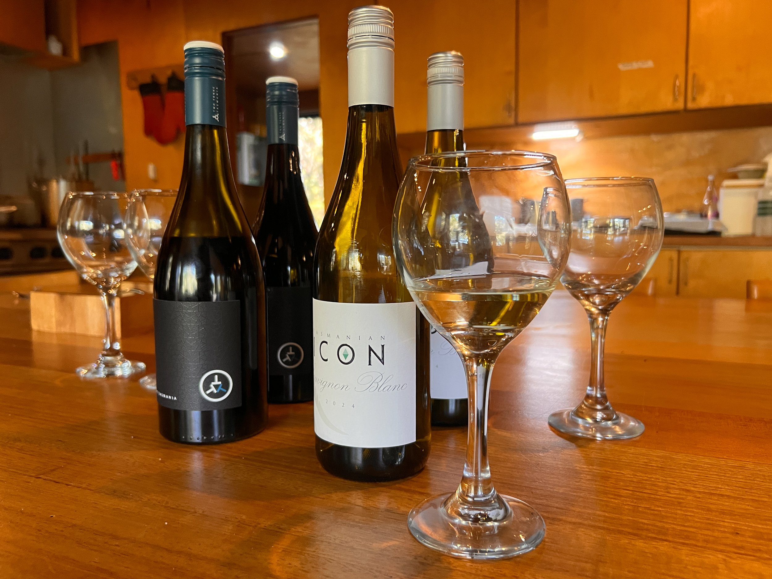
While the artwork was impressive, we are equally spoiled by the nightly selection of local Tasmanian wines. Tonight, however, there is an added surprise: a cold local beer waiting to reward us for another successful day on the Overland Track. It is a fitting toast — though a slightly bittersweet one — marking not only the end of a great day’s walking, but sadly our final night on the trail.
DAY SIX — The Final Steps
Windy Ridge Hut to Lake St Clair
This morning carried that unmistakable feeling that the journey was coming to an end.
I often laugh at Kathy because on the final day of any trip, or even the final hour of a hike, she transforms into what I call the horse turning for home. Suddenly there is no stopping her. The pace increases, the destination becomes magnetic, and woe betide anyone who tries to slow her down.
But this time it wasn’t just Kathy. I think our entire walking party was quietly looking forward to the return of civilisation - although, given the level of comfort we’d enjoyed in our huts over the past few nights, I can hardly complain about the “wilderness hardship”.
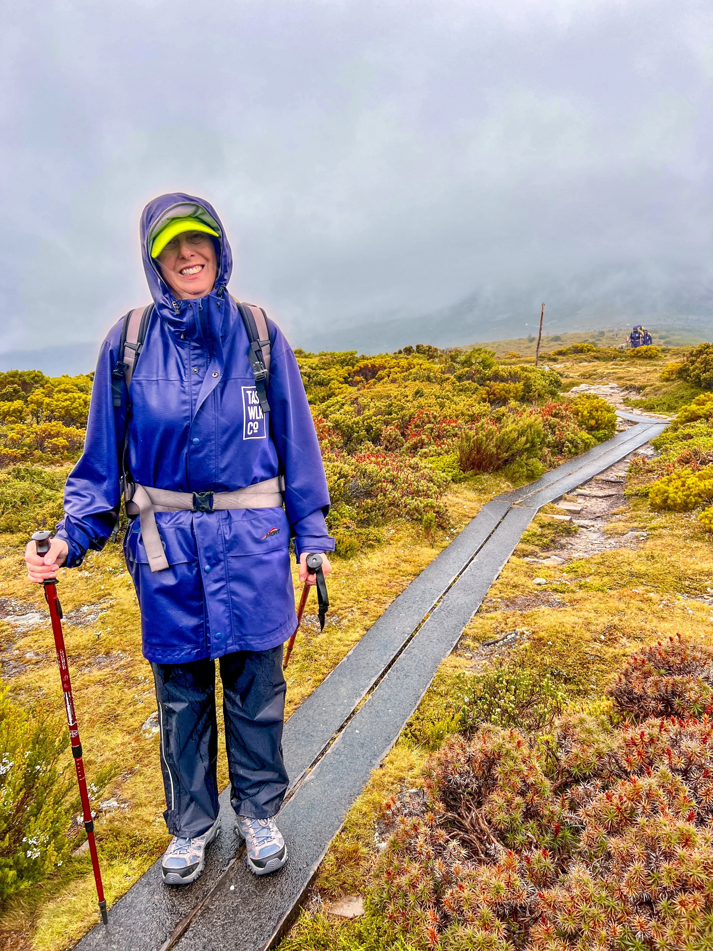
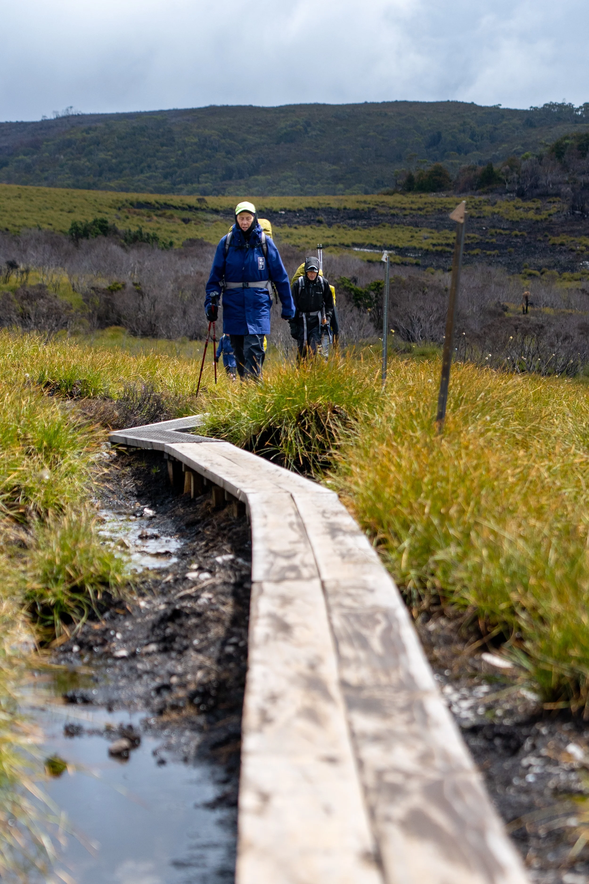
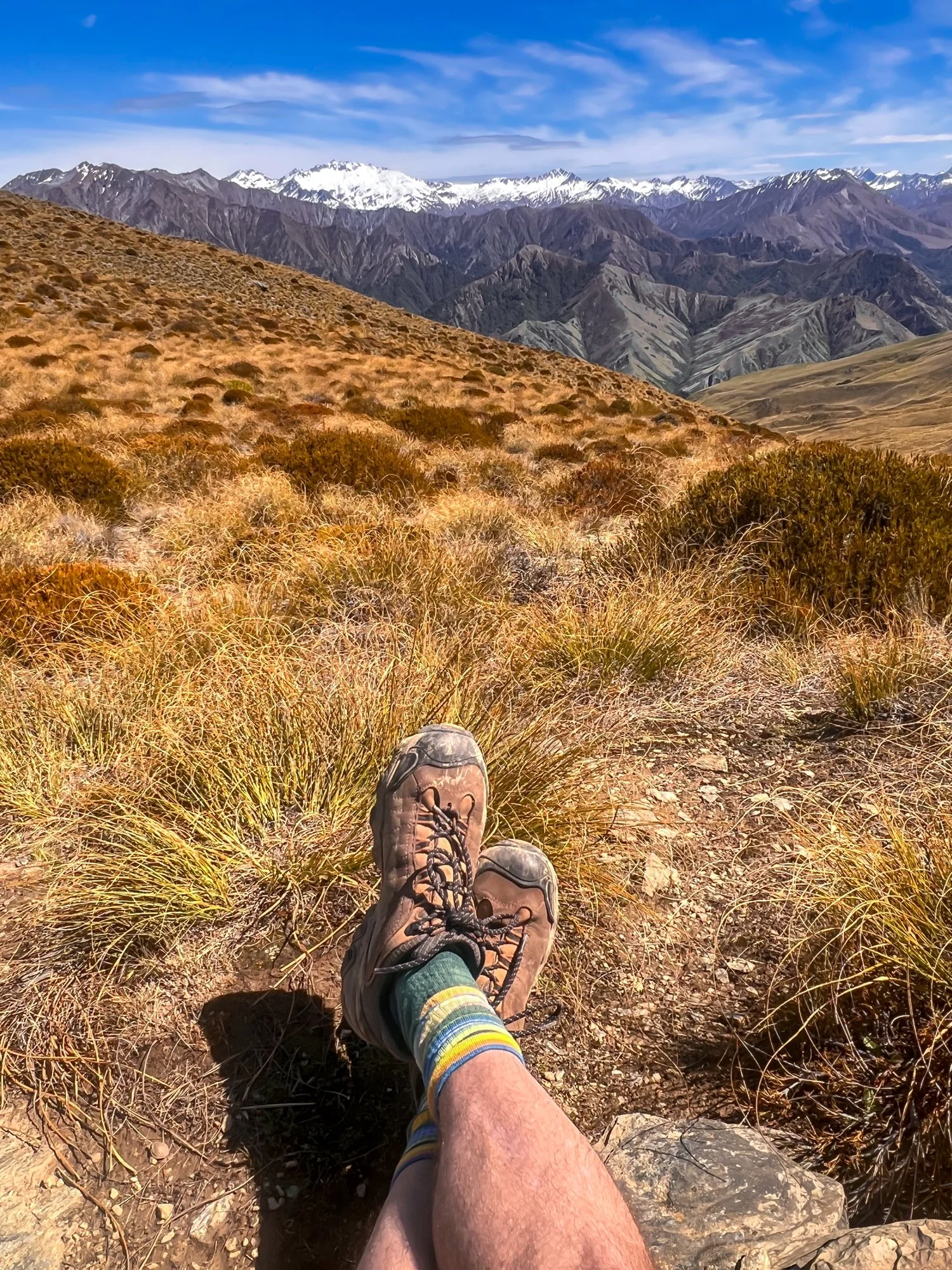
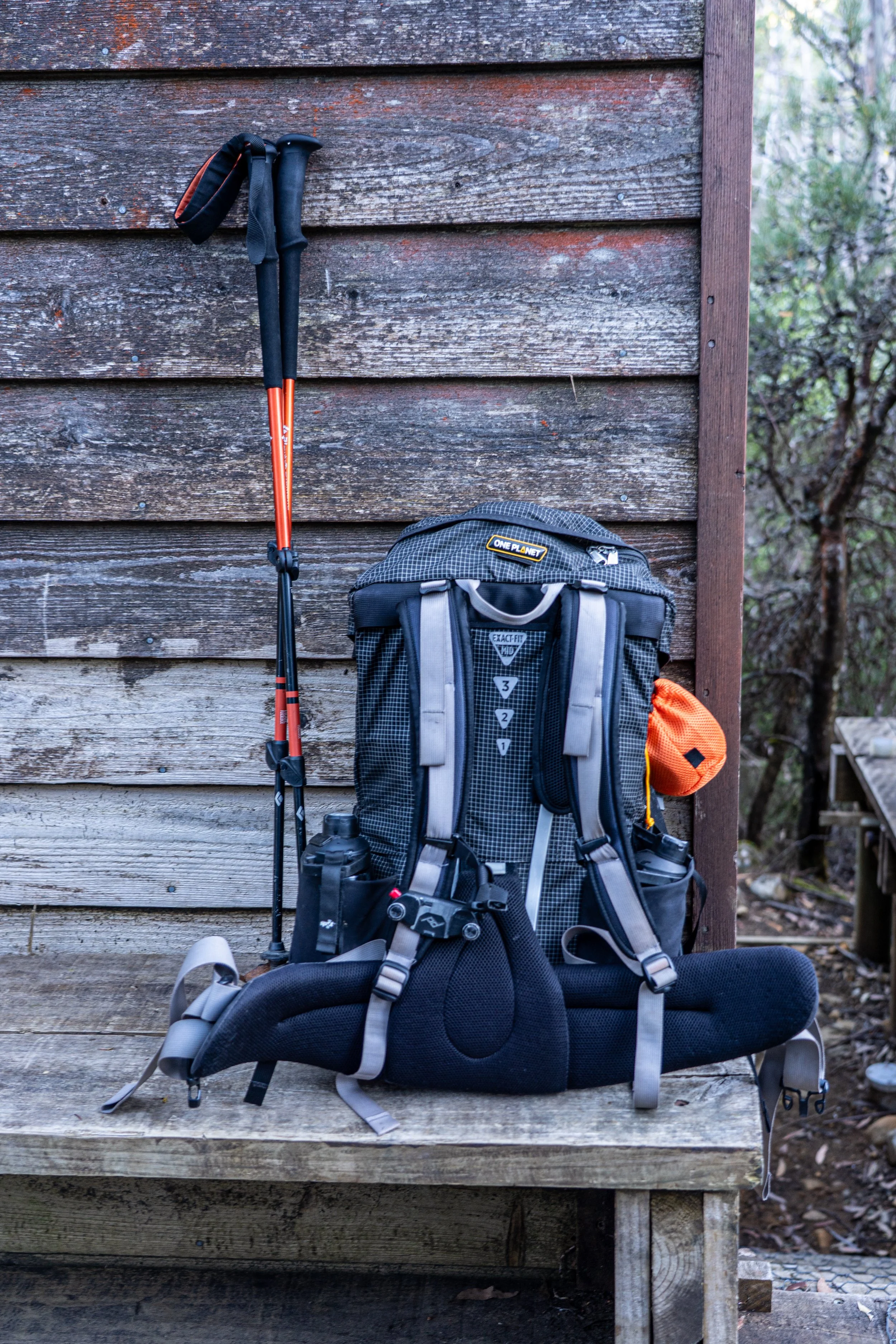
With packs loaded for the final time, we set off for the last 10 kilometres of the Overland Track.
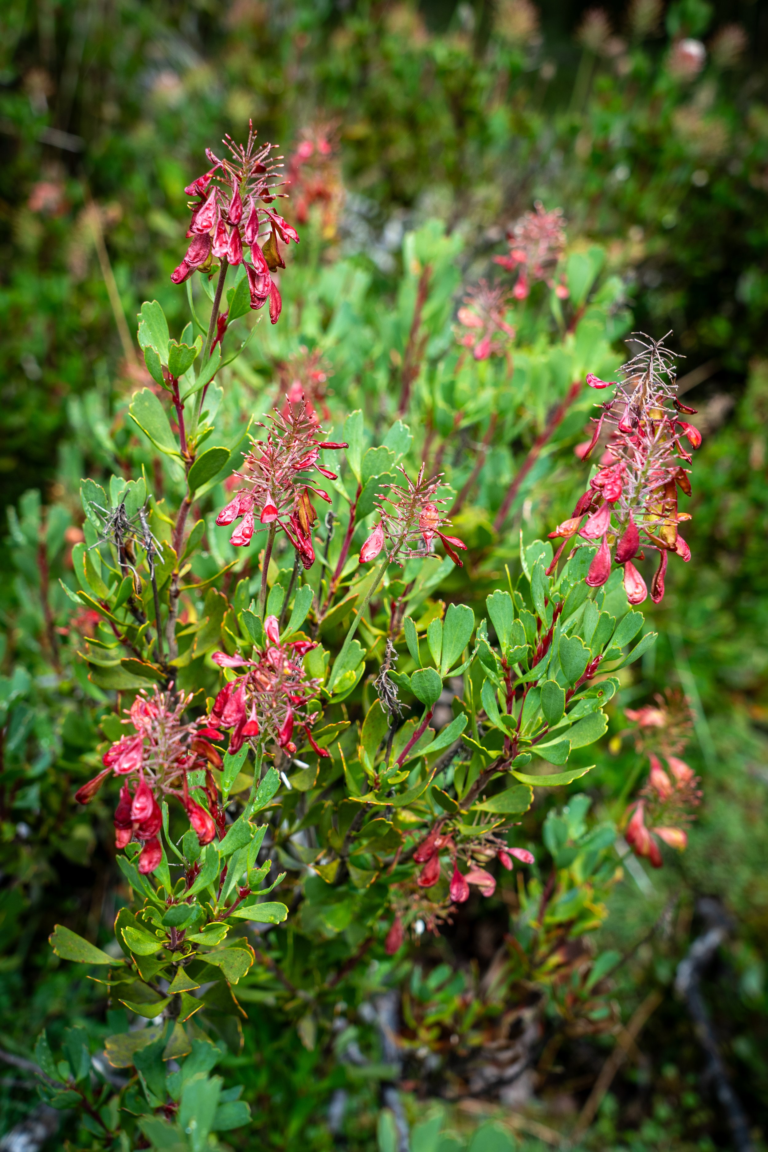
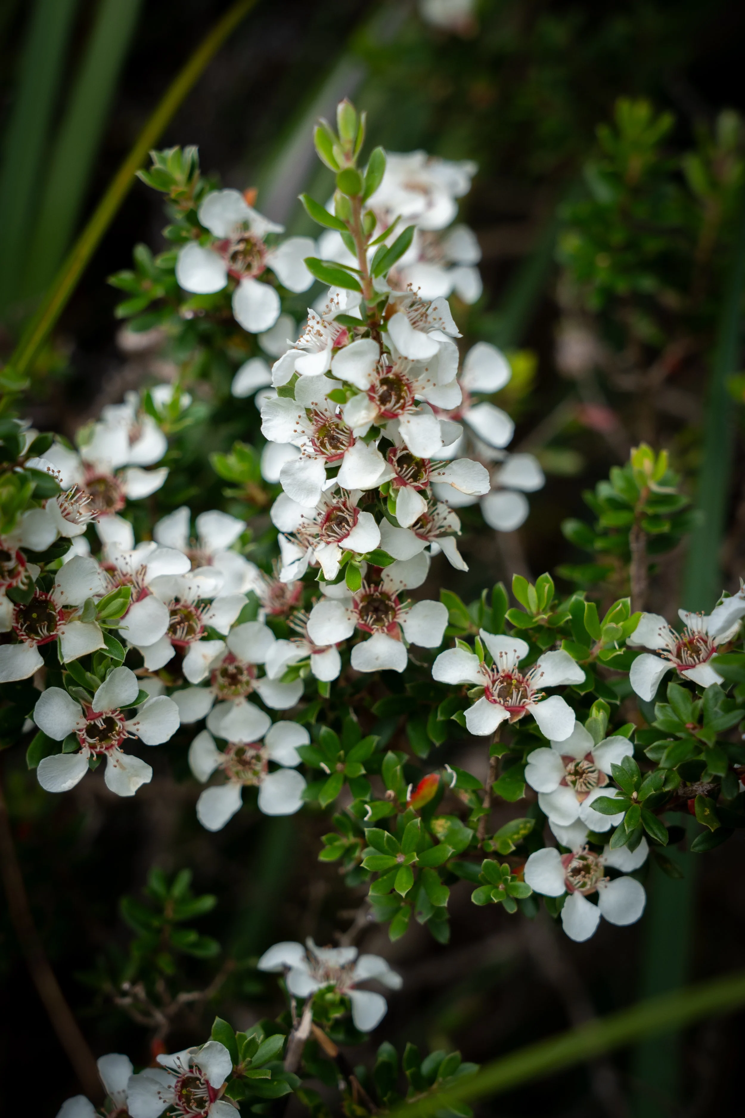
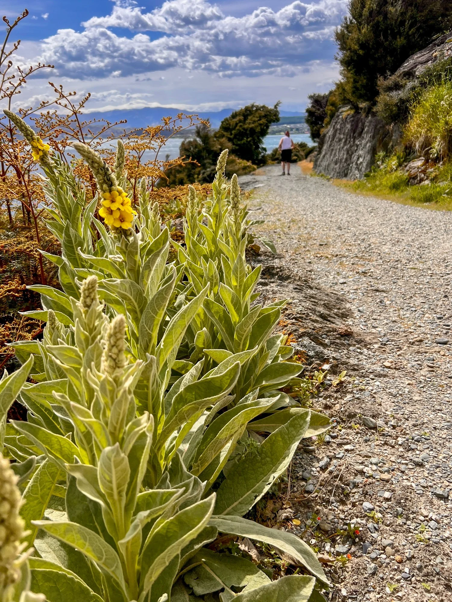
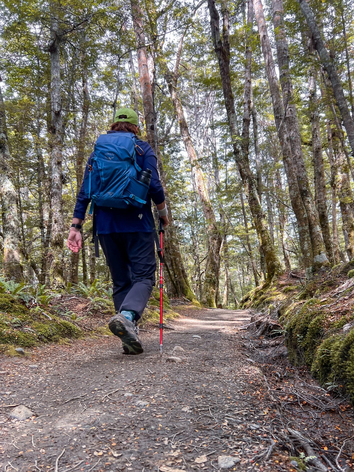
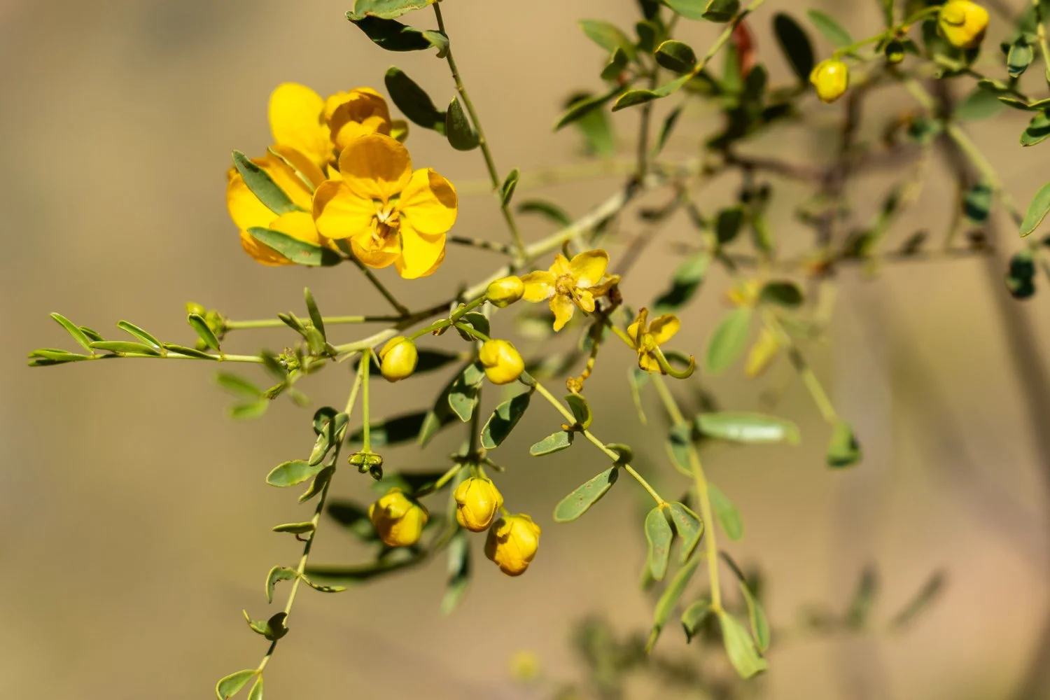
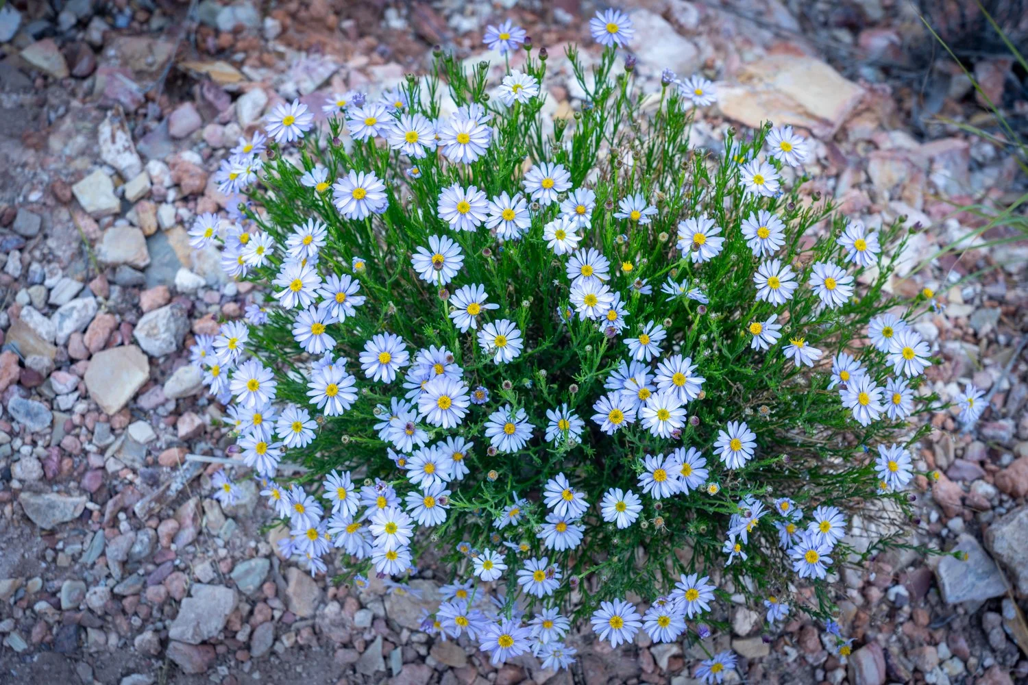
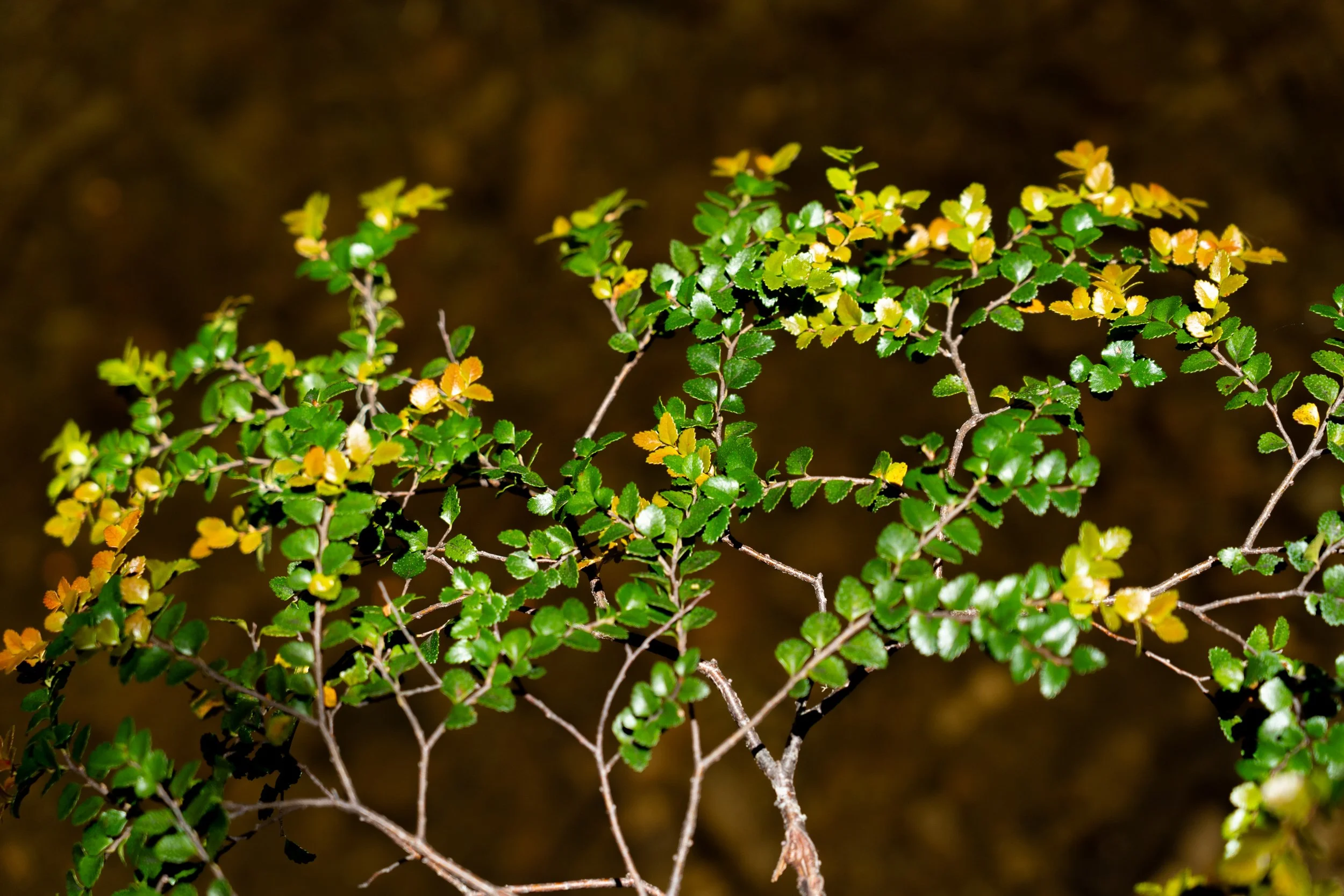
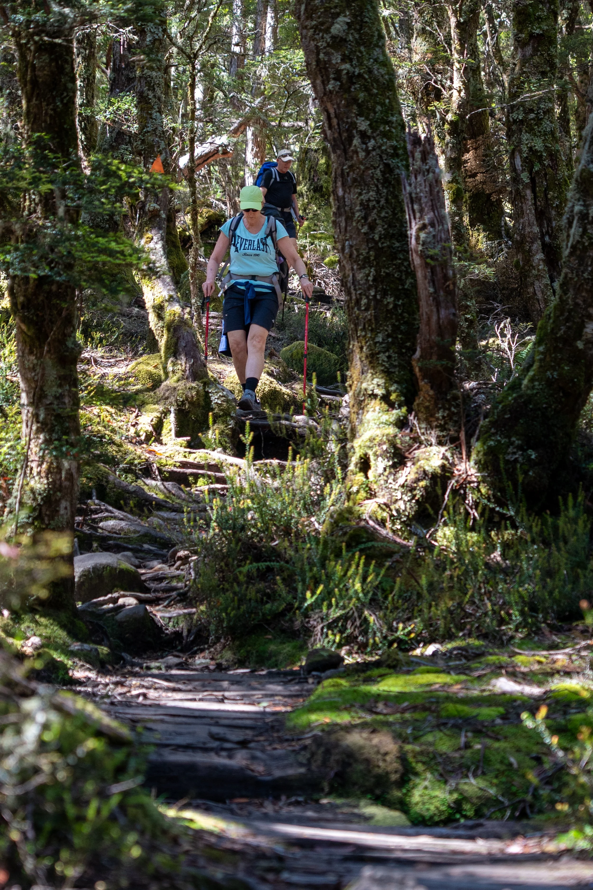
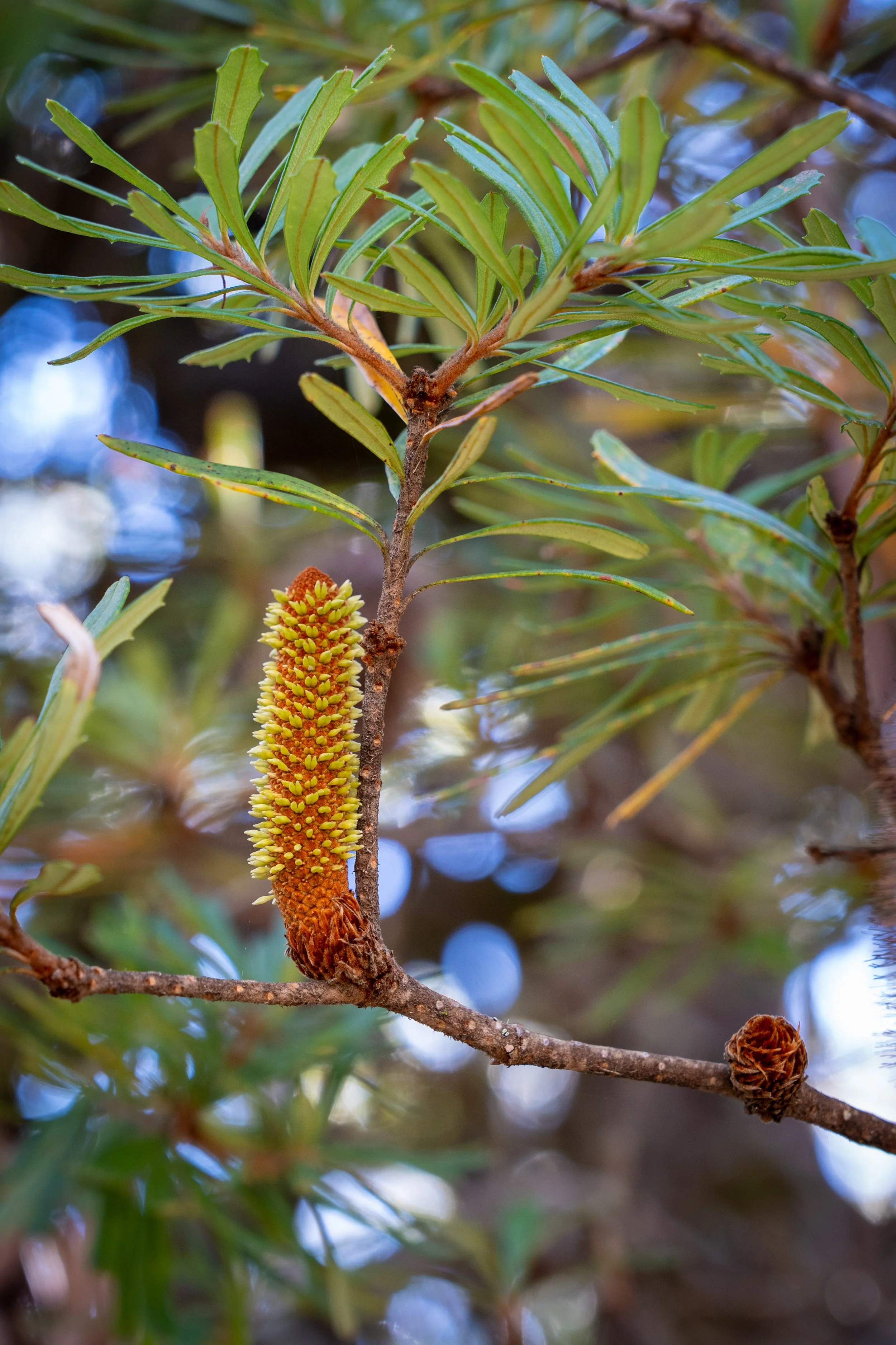
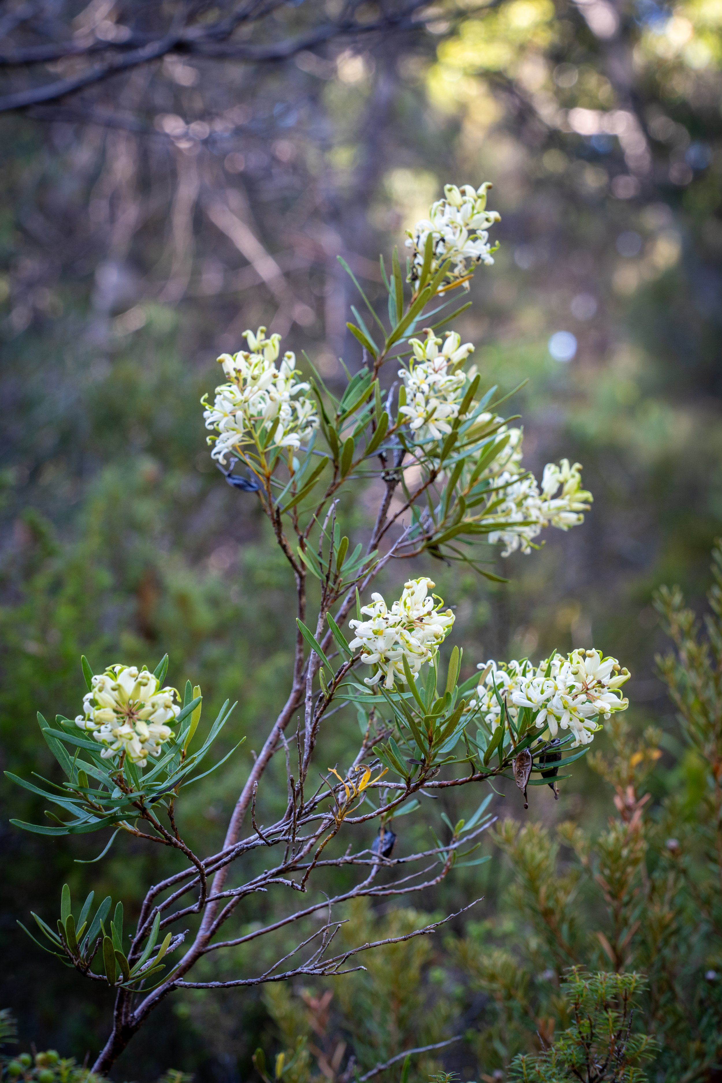
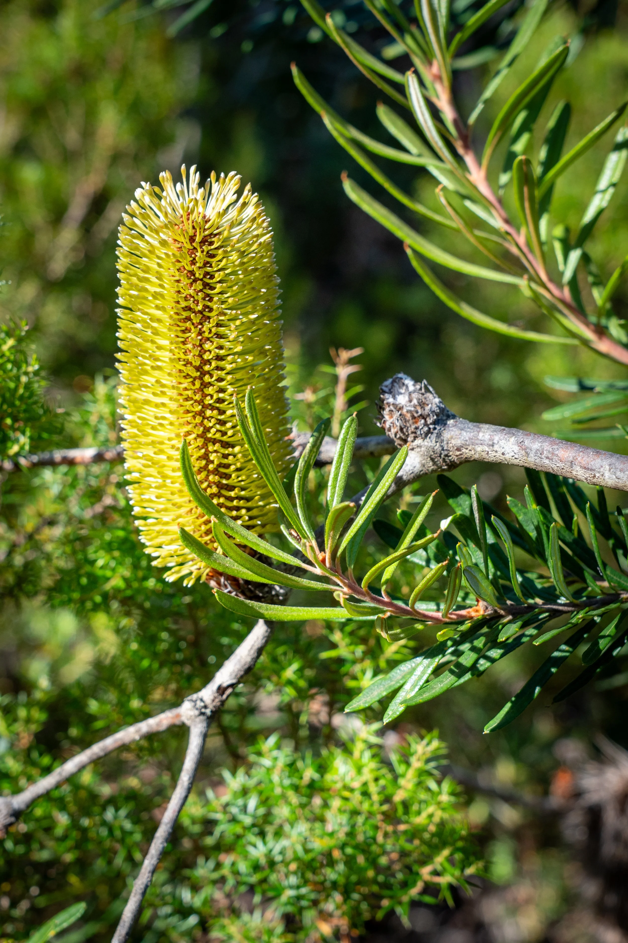
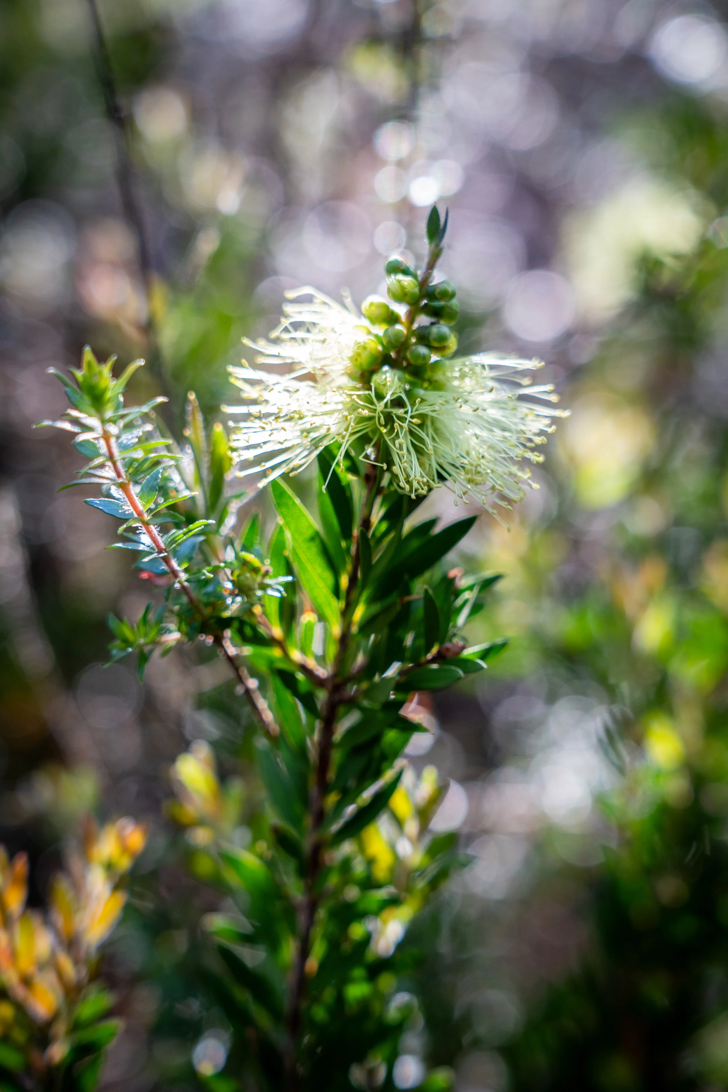
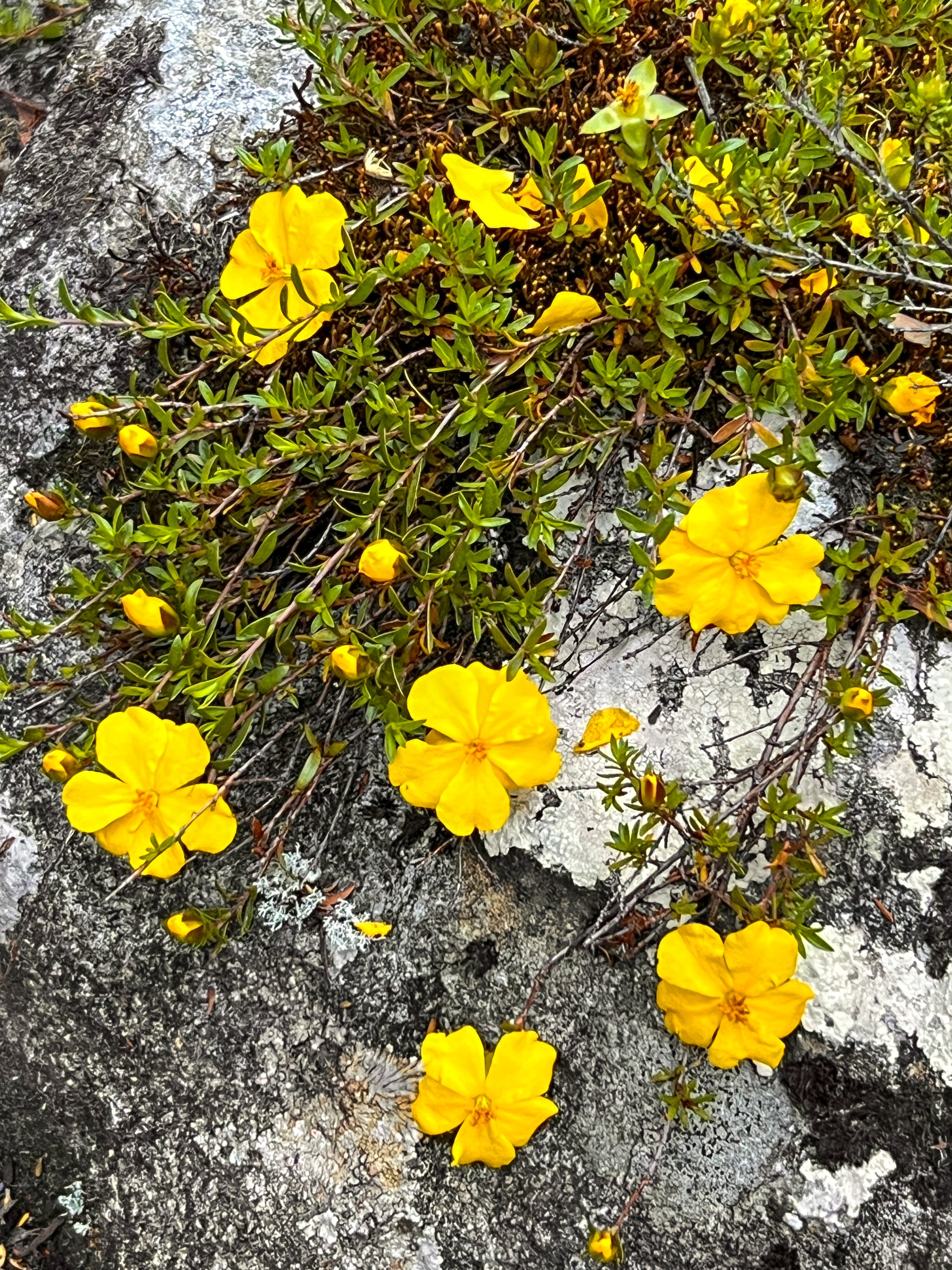
It wasn’t long before we fall into an easy rhythm, marching gently through tall sclerophyll forest with flashes of wildflowers in the understorey. Tea trees, bottlebrush, banksias and countless smaller blooms dot the landscape. The track slopes gradually downhill, allowing us to spread out and walk at our own pace — the perfect opportunity to listen to the chorus of birds and the steady murmur of the nearby Narcissus River, our quiet companion for much of the morning.
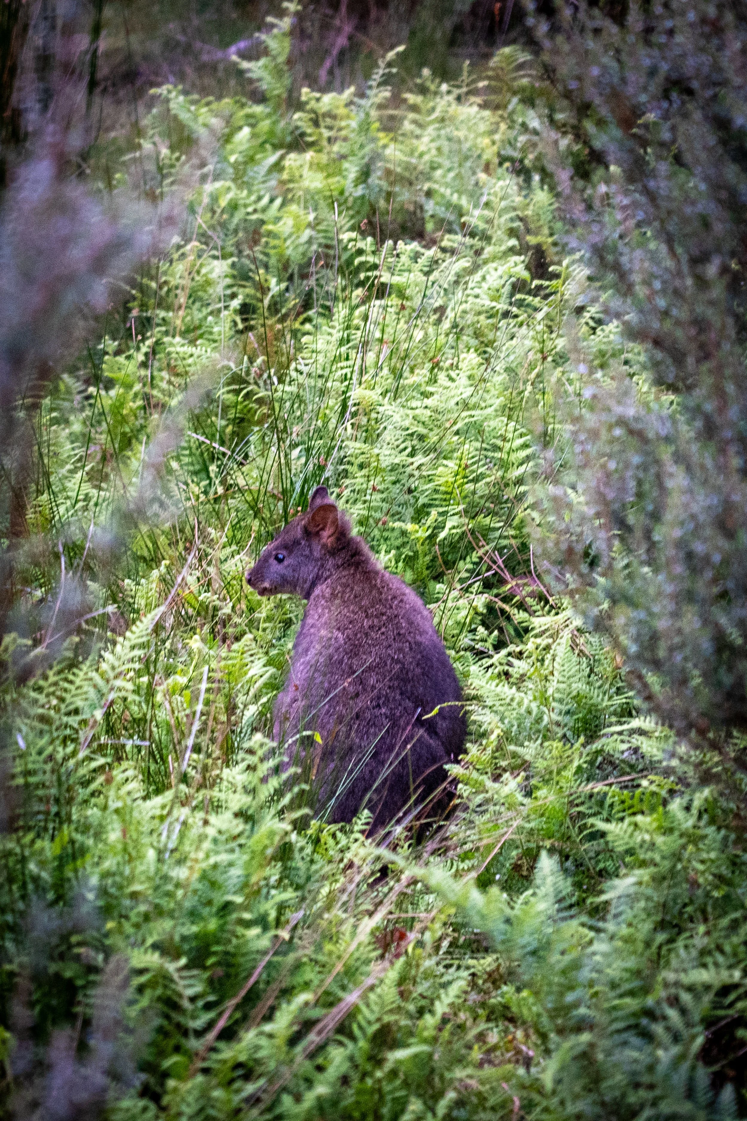
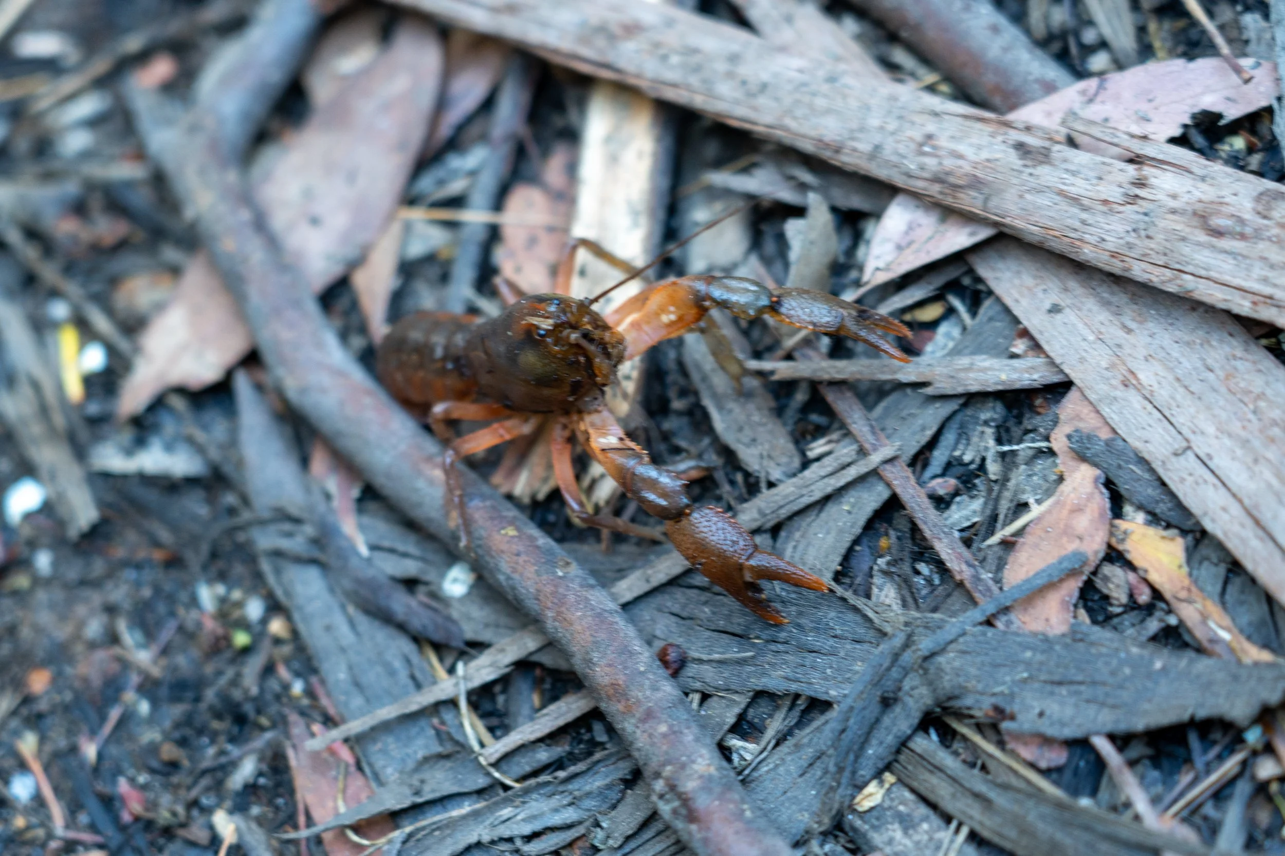
Every now and then we cross small creeks and streams, each offering one final excuse to pause for photos. At one point we encounter a small yabby stranded squarely in the middle of the track, clearly having taken a wrong turn somewhere. He stands defiantly with claws raised, ready to defend his position against this strange parade of giant hikers interrupting his journey.
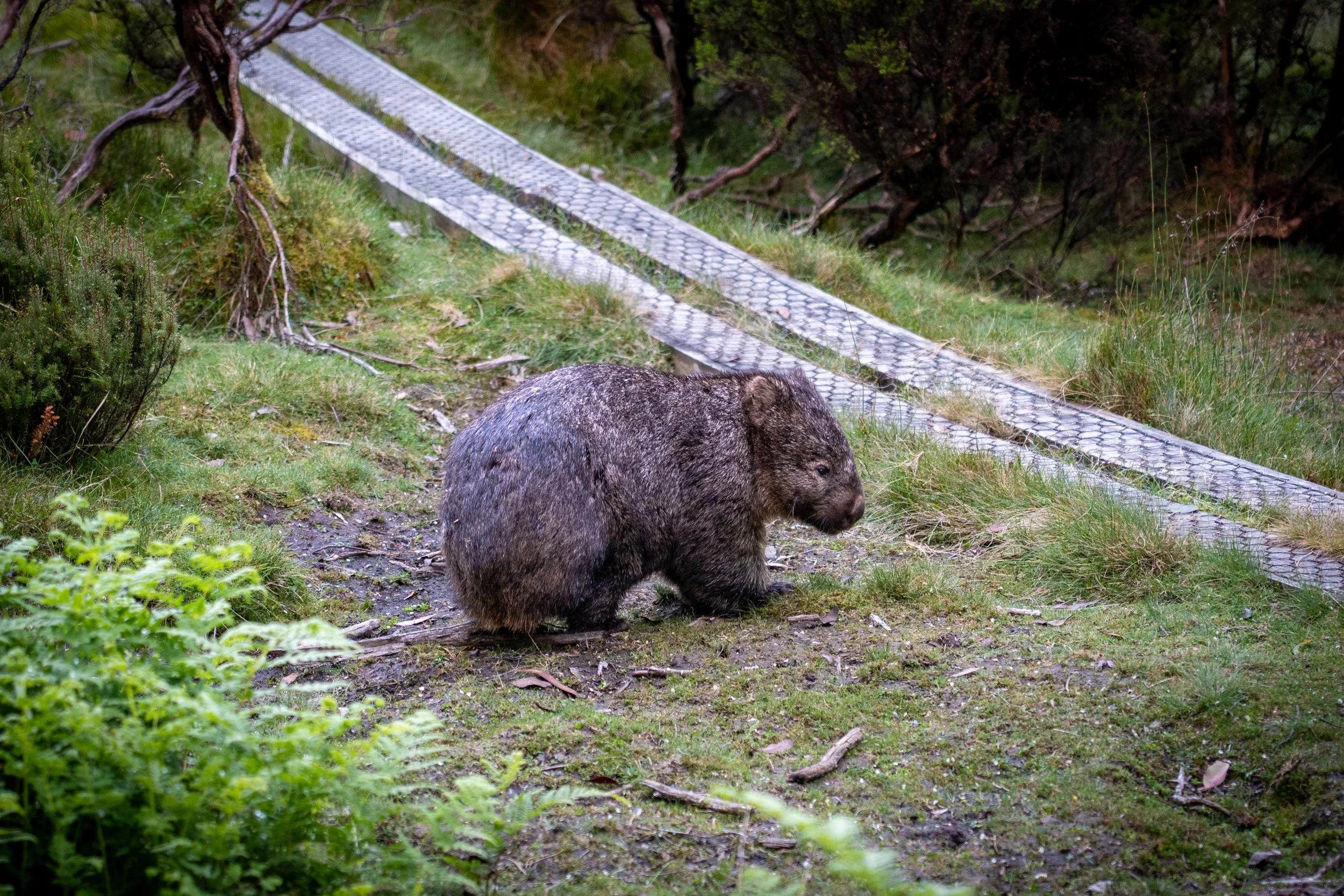
Further along, the eucalypt forest thins briefly, opening a window across to a distant grassy clearing known as the Bowling Green — a perfect feeding ground for wombats contentedly grazing their way through the day. Above us, black cockatoos call from the treetops while the forest hums with the chatter of smaller birds.
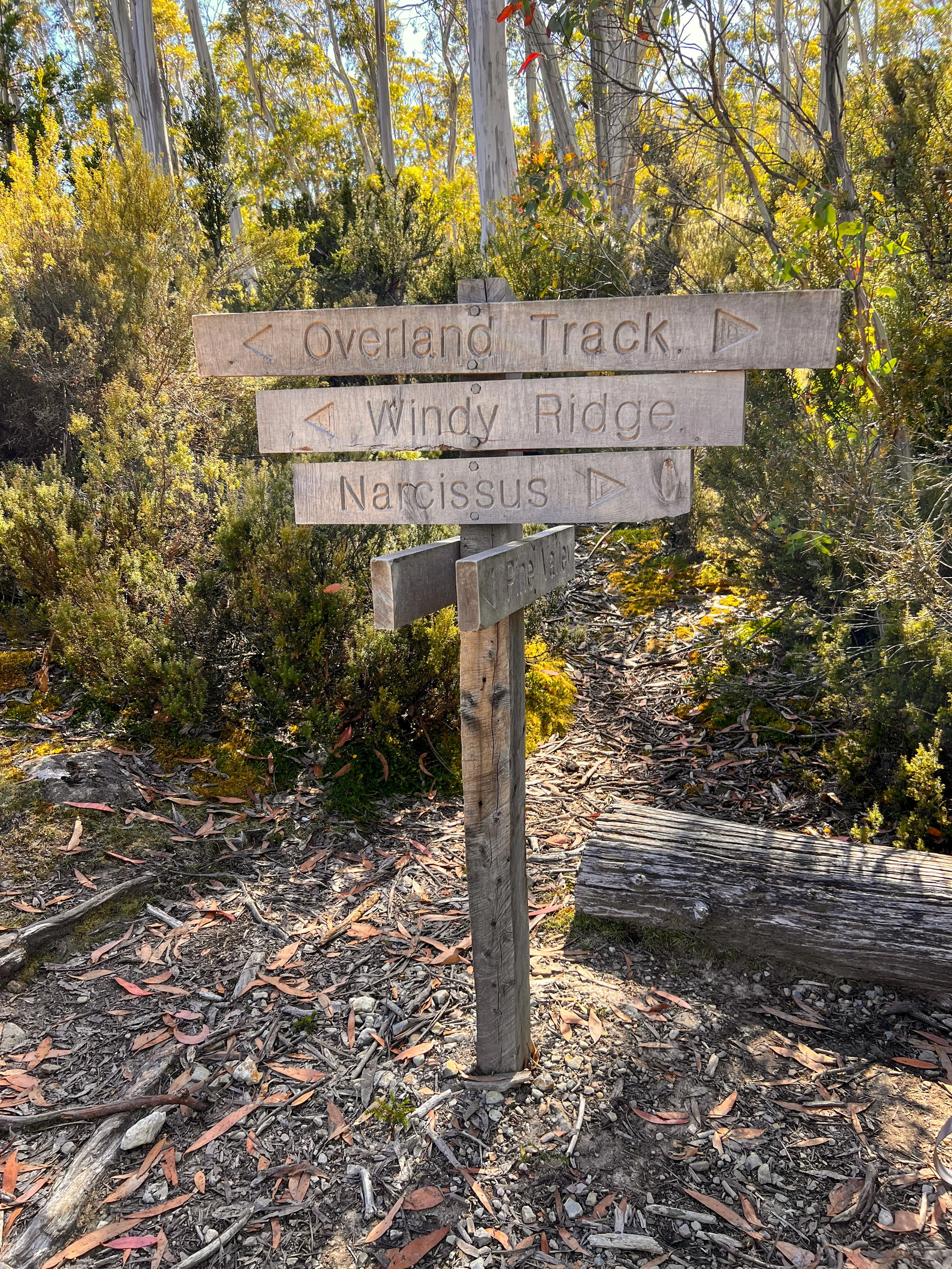
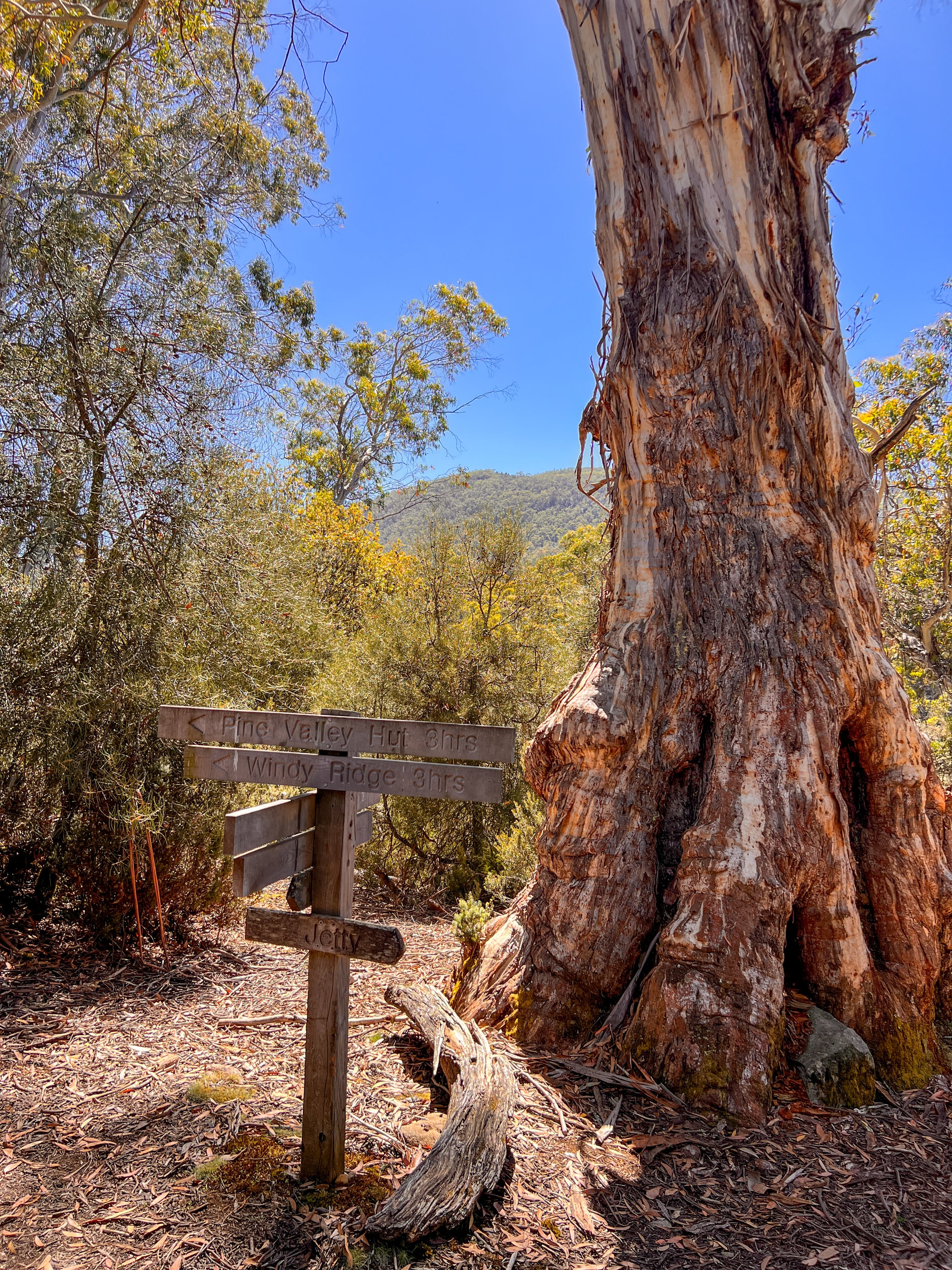
We soon reached Pine Valley Junction, the turn-off for ambitious side trips to both The Acropolis and The Labyrinth. Under different circumstances the temptation might have been irresistible — but today the horse had well and truly bolted. Our destination lay ahead, and nobody was volunteering for extra kilometres.
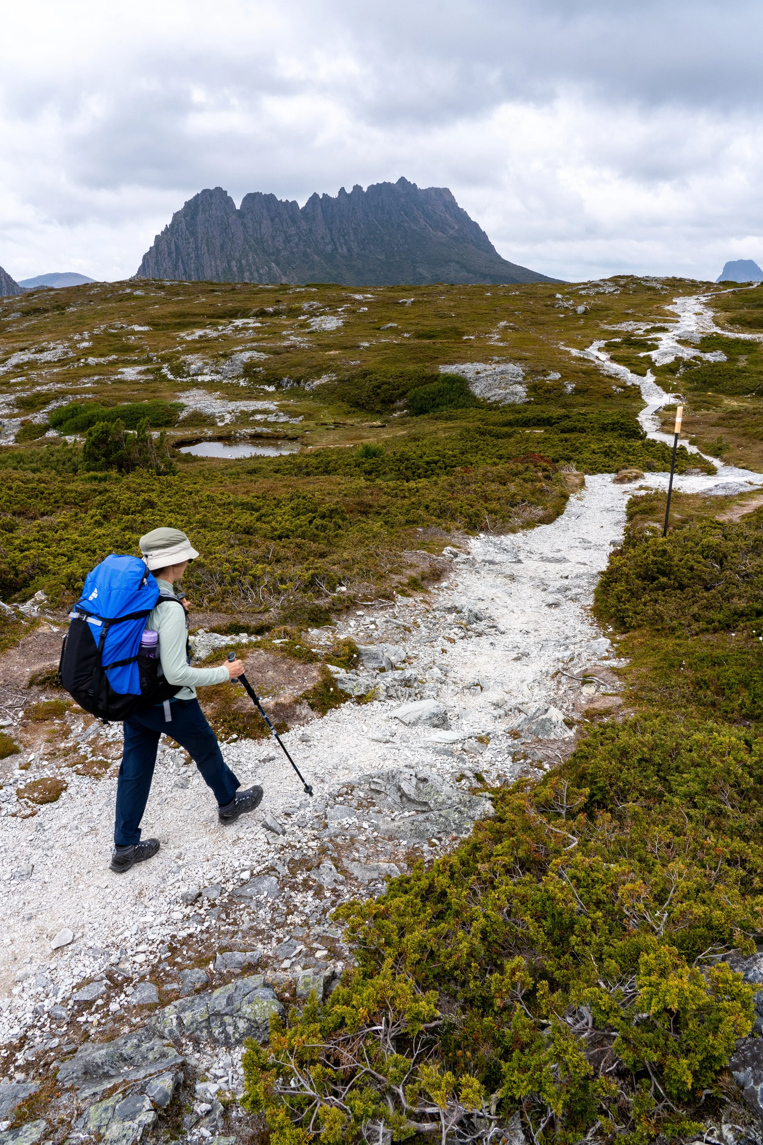
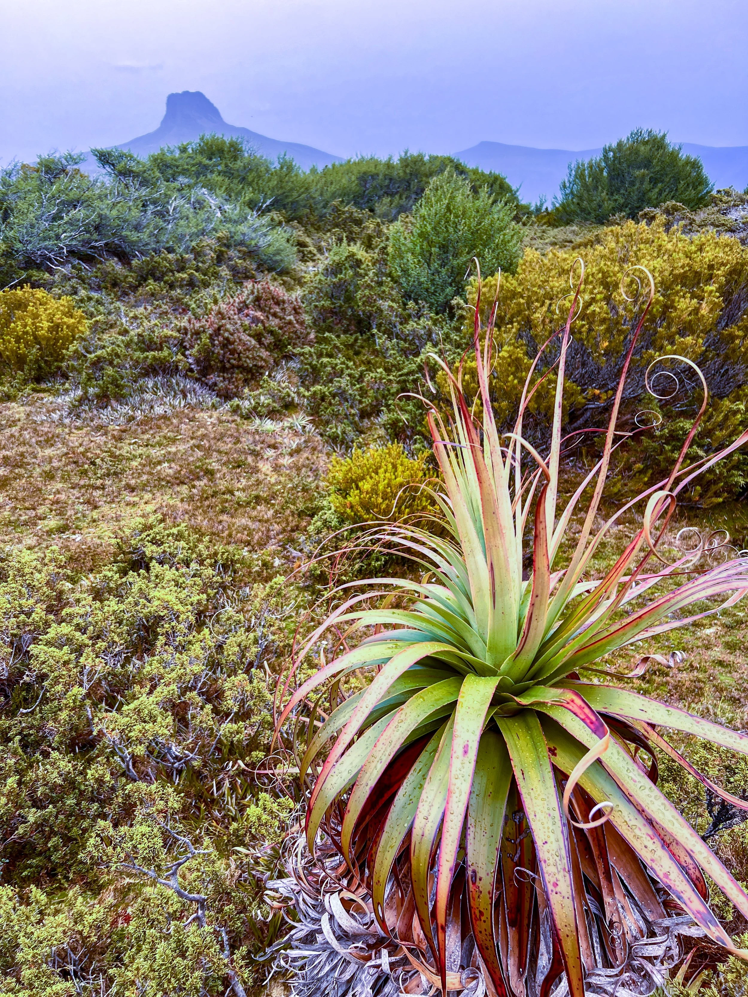
The vegetation thickens as the track descends toward the Narcissus River, and through a break in the trees I catch my first glimpse of Mount Olympus rising in the distance. Soon the forest falls away entirely and we burst out onto wide button grass plains. A boardwalk snakes through the golden grass, drawing the eye forward toward Mount Olympus standing proudly on the horizon like the final curtain of the landscape.
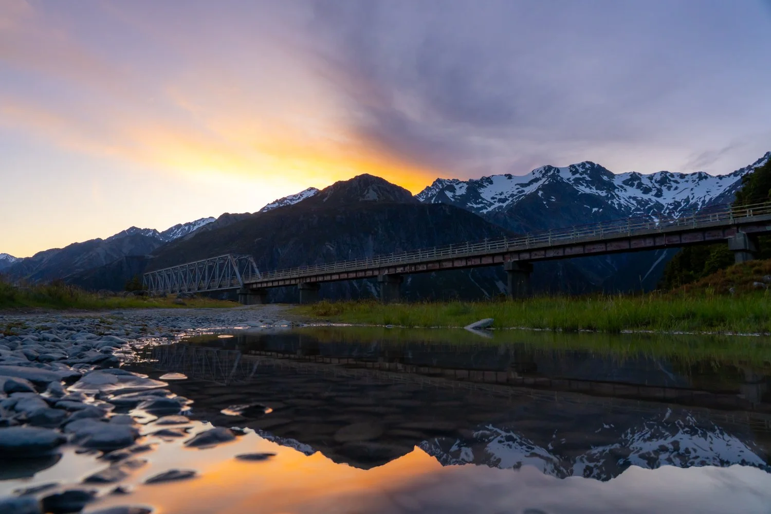
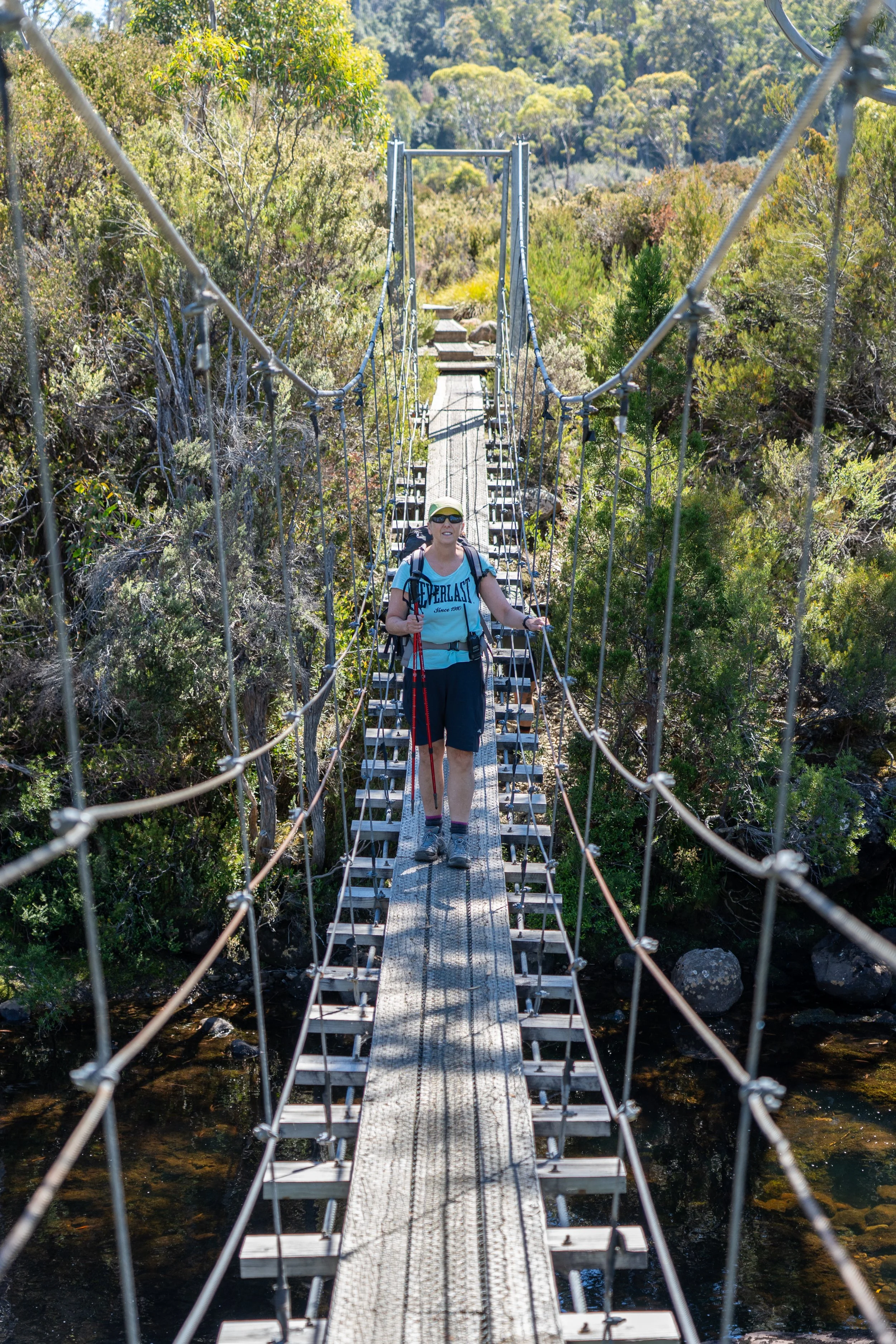
Eventually we reach the suspension bridge over the Narcissus River. Crossing one person at a time, I bounce my way across — perhaps enjoying the wobble a little more than necessary. Kathy, on the other hand, is just glad that she no longer has the wobbles from the vertigo a few days ago.
On the other side sat Narcissus Hut, one of the final public huts on the track. For most walkers it marks the beginning of the last stretch to Lake St Clair. For us, however, it was the finish line.
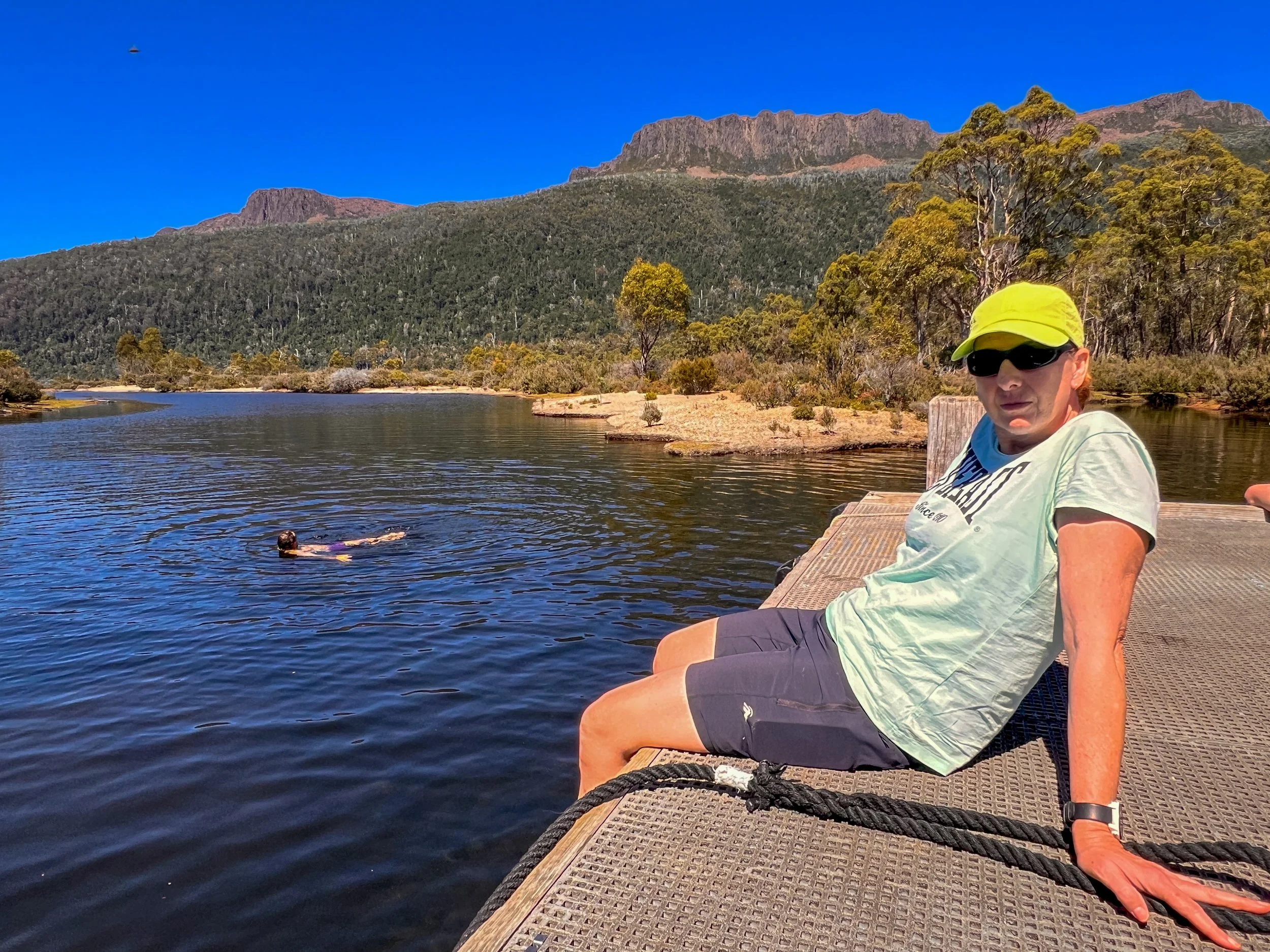
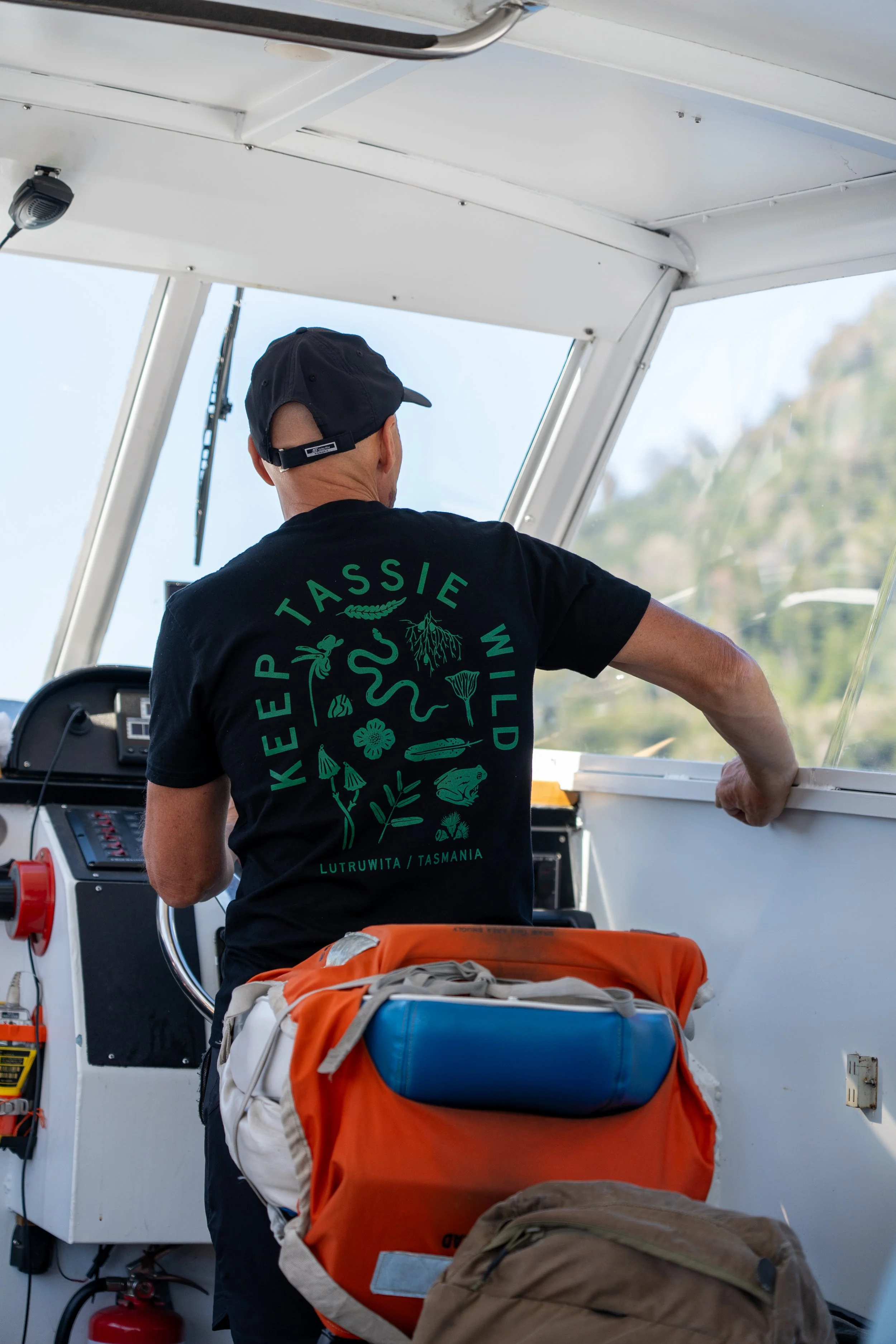
We drop our packs on the small wharf while our guides celebrated the end of the trip with one last icy plunge into the water. The rest of us adopt a far more sensible strategy: lying in the sun and waiting for the ferry.
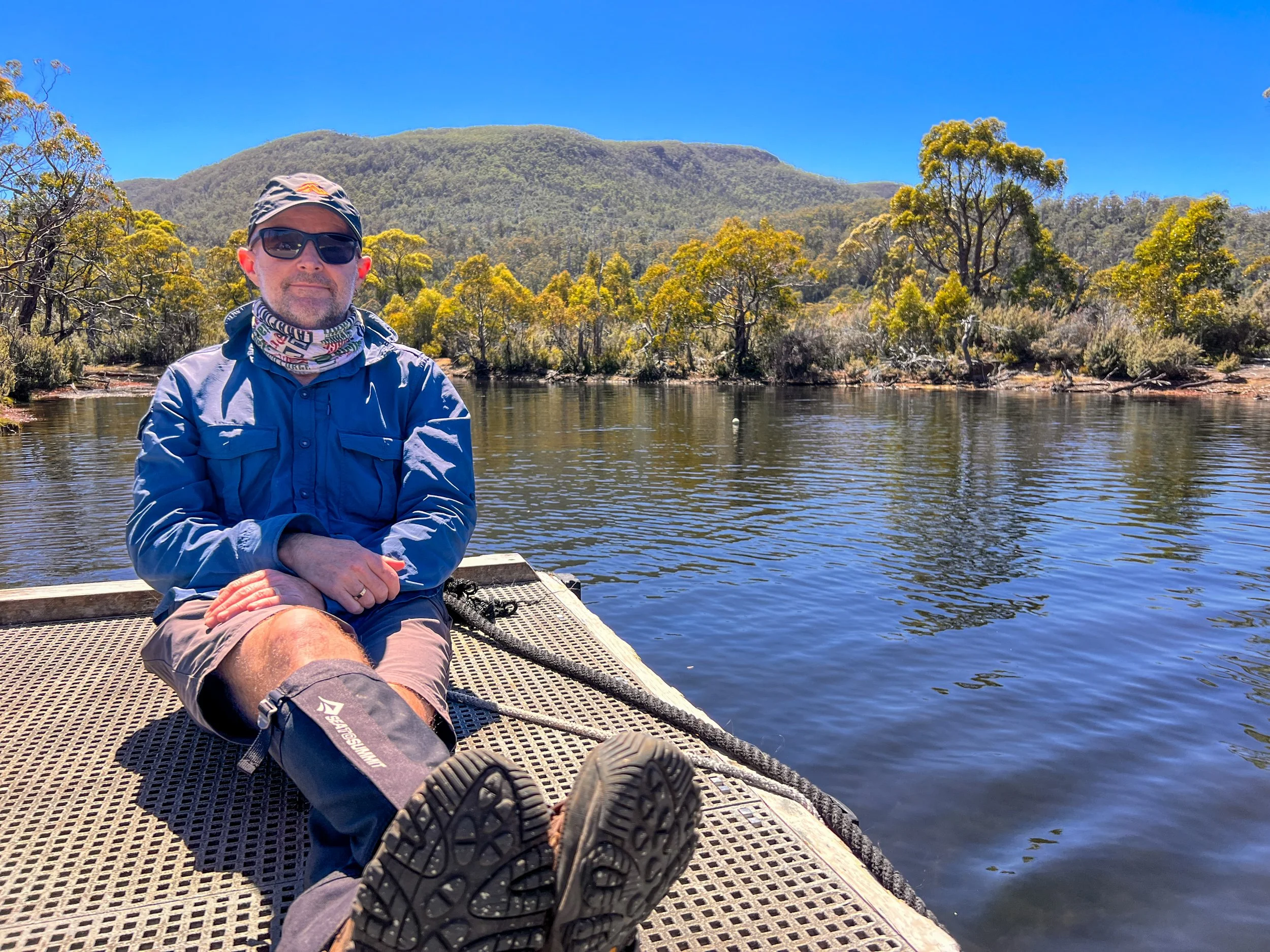
Soon enough it arrives, and we board for the 17-kilometre cruise across Lake St Clair to Cynthia Bay. I find a seat beside an open window and let the cool lake air rush in as the boat carries us steadily south. Behind us the mountains slowly receed, fading layer by layer into the distance.
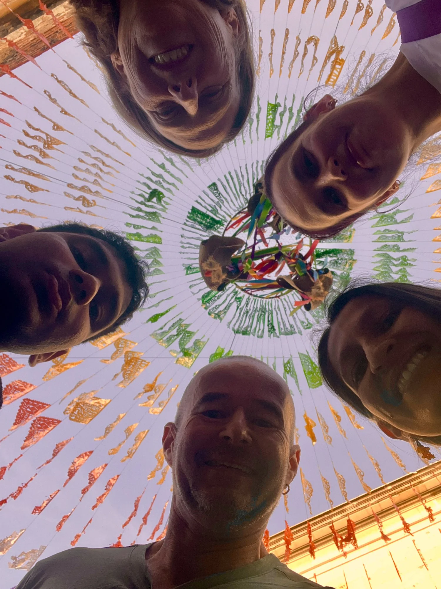
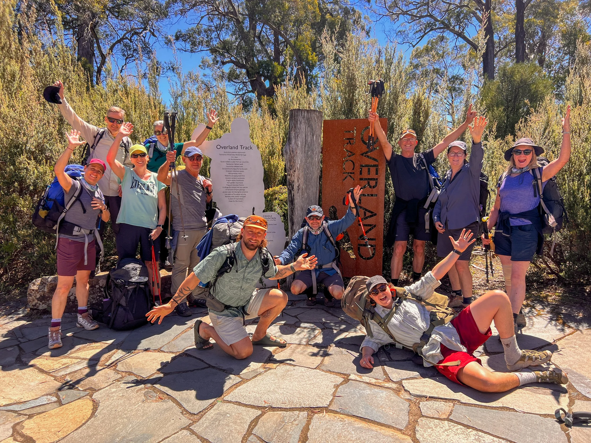
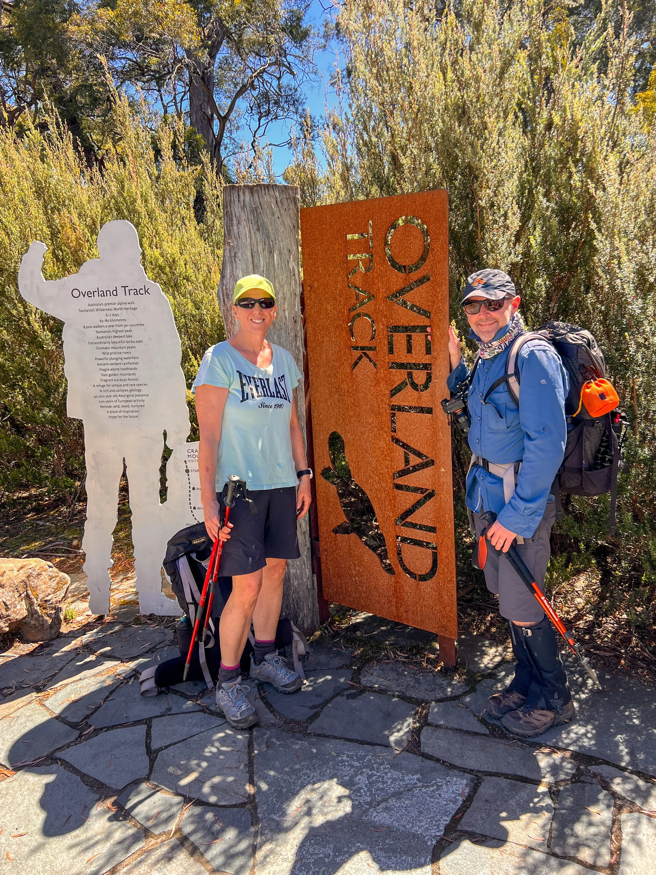
Back on land at the National Parks office, we gather in front of the familiar Overland Track sign for the obligatory group photo. Standing here there are mixed emotions — pride in finishing, sadness that it was over, and the quiet excitement of returning to our own beds.
EPILOGUE — The Wilderness Within
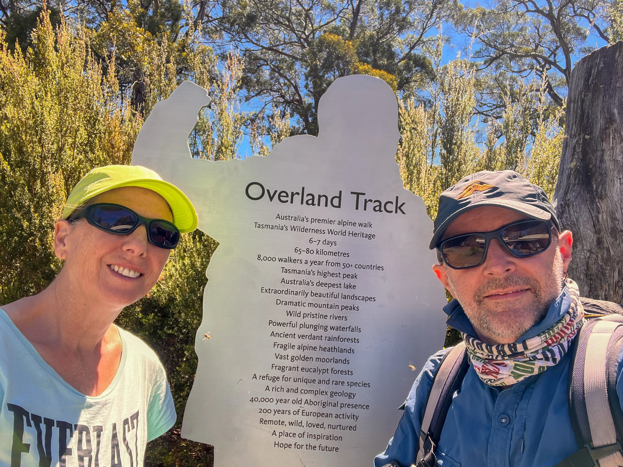
The Overland Track is widely considered one of Australia’s most famous multi-day hikes, and after walking it myself I can see exactly why.
The track itself is not especially difficult, but what it lacks in physical brutality it more than makes up for in extraordinary variety. In just a few days the landscape shifts constantly — from high alpine meadows to deep ancient rainforests, from windswept button grass plains to groves of prehistoric pines.
I know the purists sometimes frown upon those of us who take the “softer” option and stay in private huts rather than carrying everything on our backs. Some even complain about the relative comfort of the public huts themselves.
And while I absolutely appreciate the importance of keeping wilderness places wild and limiting human impact, I also believe these landscapes should be shared. Not everyone is willing — or able — to carry 30 kilograms on their back and sleep under a tarp in the rain.
Walking the Overland Track is still no walk in the park — even when done in relative comfort. But it is an experience every person should have the opportunity to undertake at least once in their life. Because only by walking through places like this can we truly appreciate their beauty and understand why they must be protected.
For me, writing this story is not only a way to preserve the memories of our journey, but also a chance to share a small piece of the experience with others. If it encourages even a few people to step outside, explore places like this, and understand why our unique natural environments deserve to be protected, then it has served its purpose.
We began as six slightly questionable adventurers and two French nationals, and somewhere along the way we became a team — bonded by wind, rain, snow, laughter, fear, triumph… and more than a little good wine.
And somewhere out there in the Tasmanian wilderness, I suspect Gustav Weindorfer would quietly approve.
This is the Overland Track.