PROLOGUE
The following story captures two weeks of moving through Te Waipounamu on foot - boots on gravel, rock, mud and boardwalk - following a loose but irresistible pull south through Mount Cook, Wānaka, Te Anau and Queenstown. The plan was simple: walk as much as possible, pause often, and let the landscape do the talking.
This isn’t a detailed guide to hikes or the scenic tourist spots to visit. It’s a visual diary of moving through a landscape that feels vast, humbling and deeply alive. These images are reminders that sometimes the best way to understand a place is simply to walk through it - slowly, imperfectly, and with a camera never quite able to capture the full scale of what’s in front of you.
Before I dive into a story, indulge me for a moment: let me share a few of the landscapes that overtake the senses leaving you speachless. Mountains rise vertically from the valley, their ridges sketching the sky. Glacial blue lakes lie still providing perfect mirrors for the clouds that drift like cotton in the breeze. Forests breathe in mossy silence painted a thousand shades of green. This is a sample of the 10 days of scenic overload we had on our unforgettable journey across New Zealand’s South Island.


The road south
Christchurch to Aoraki / Mount Cook National Park.
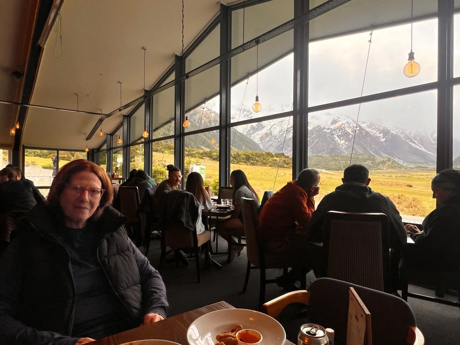
Our journey began in Christchurch as little more than a strategic overnight stop. After a short flight, our ambitions were modest: locate a local pub, order pizza, and reacquaint ourselves with the restorative power of a cold beer. The following day we pointed the car south toward Aoraki / Mount Cook National Park.
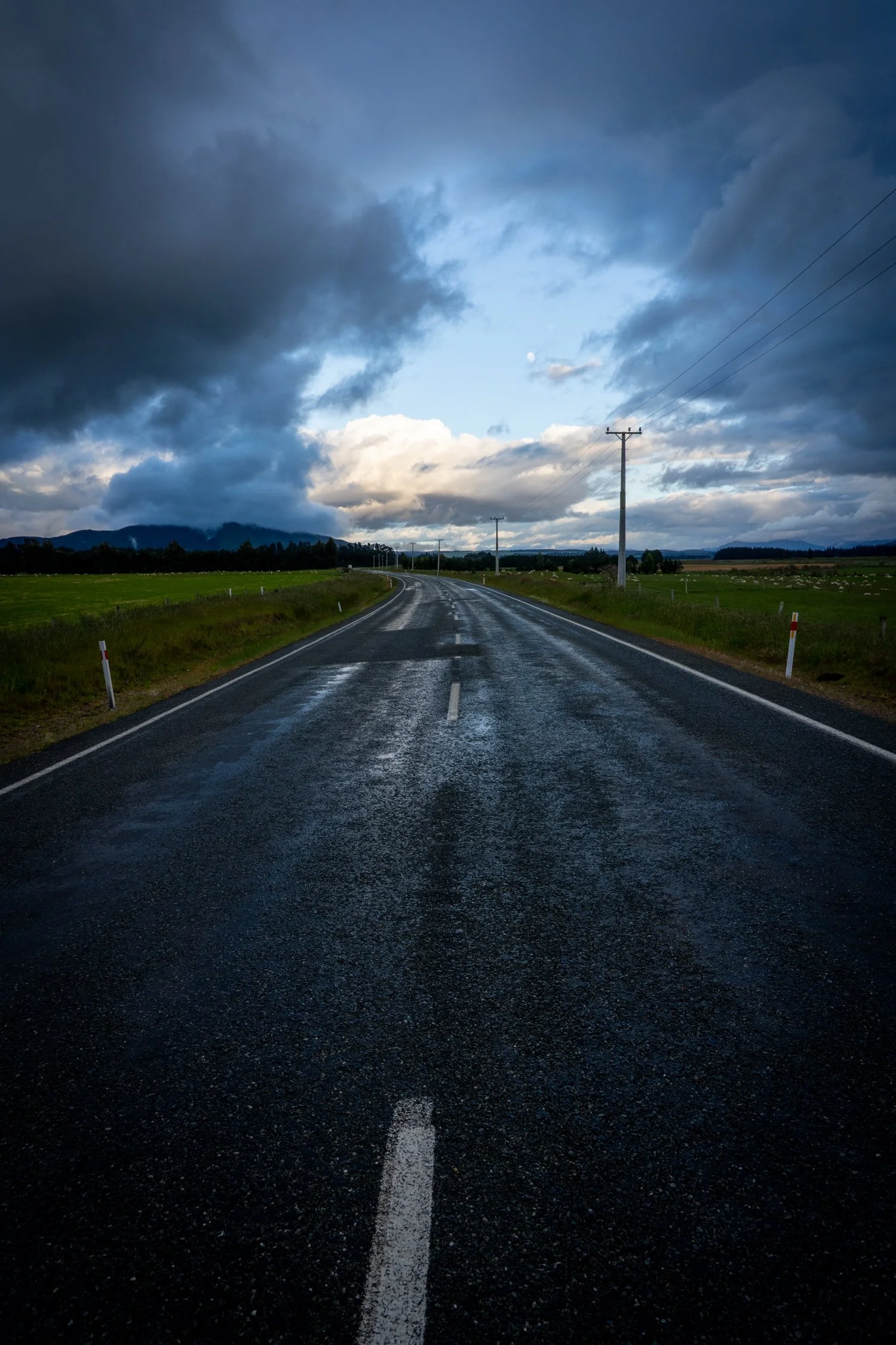
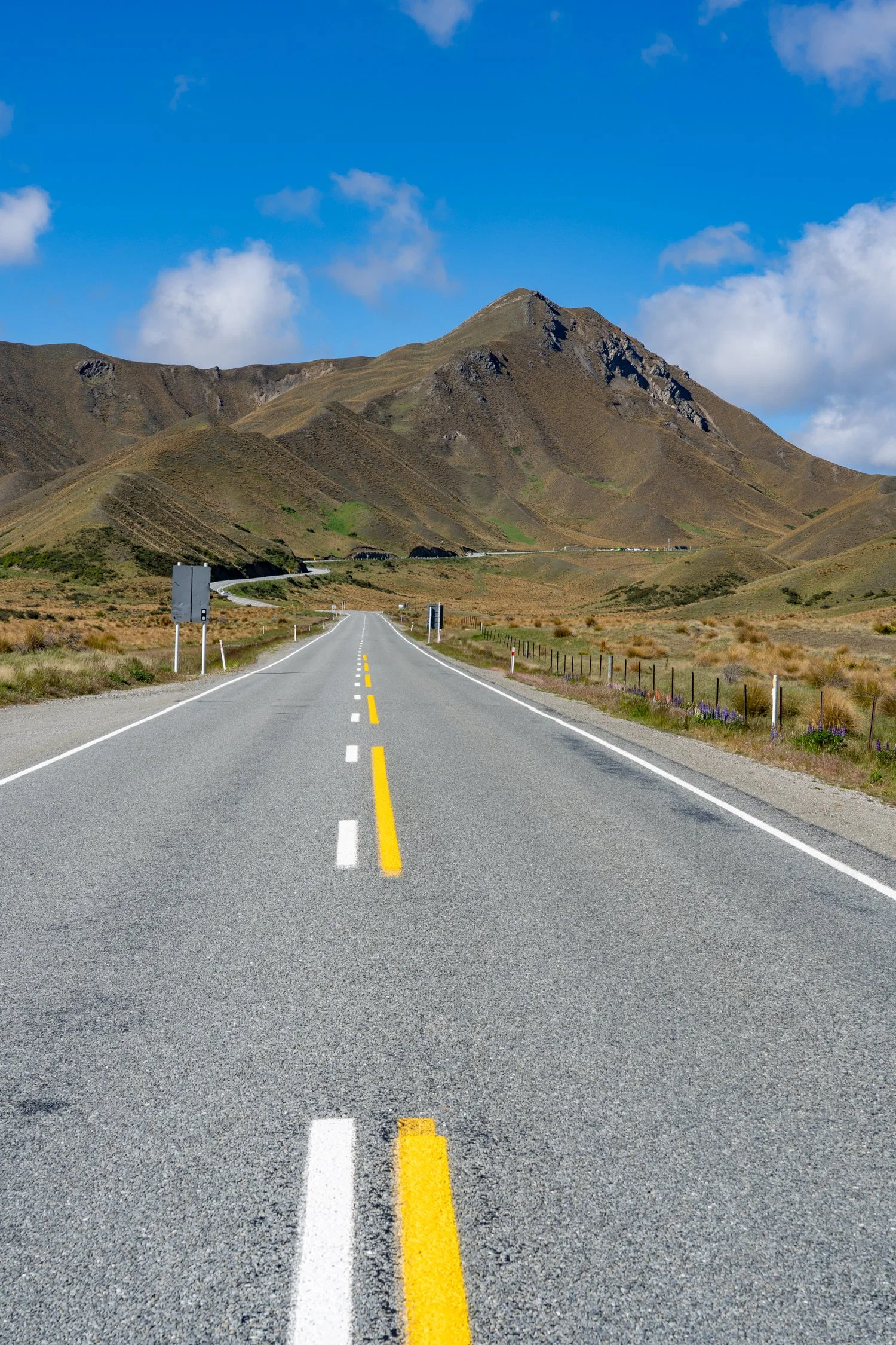
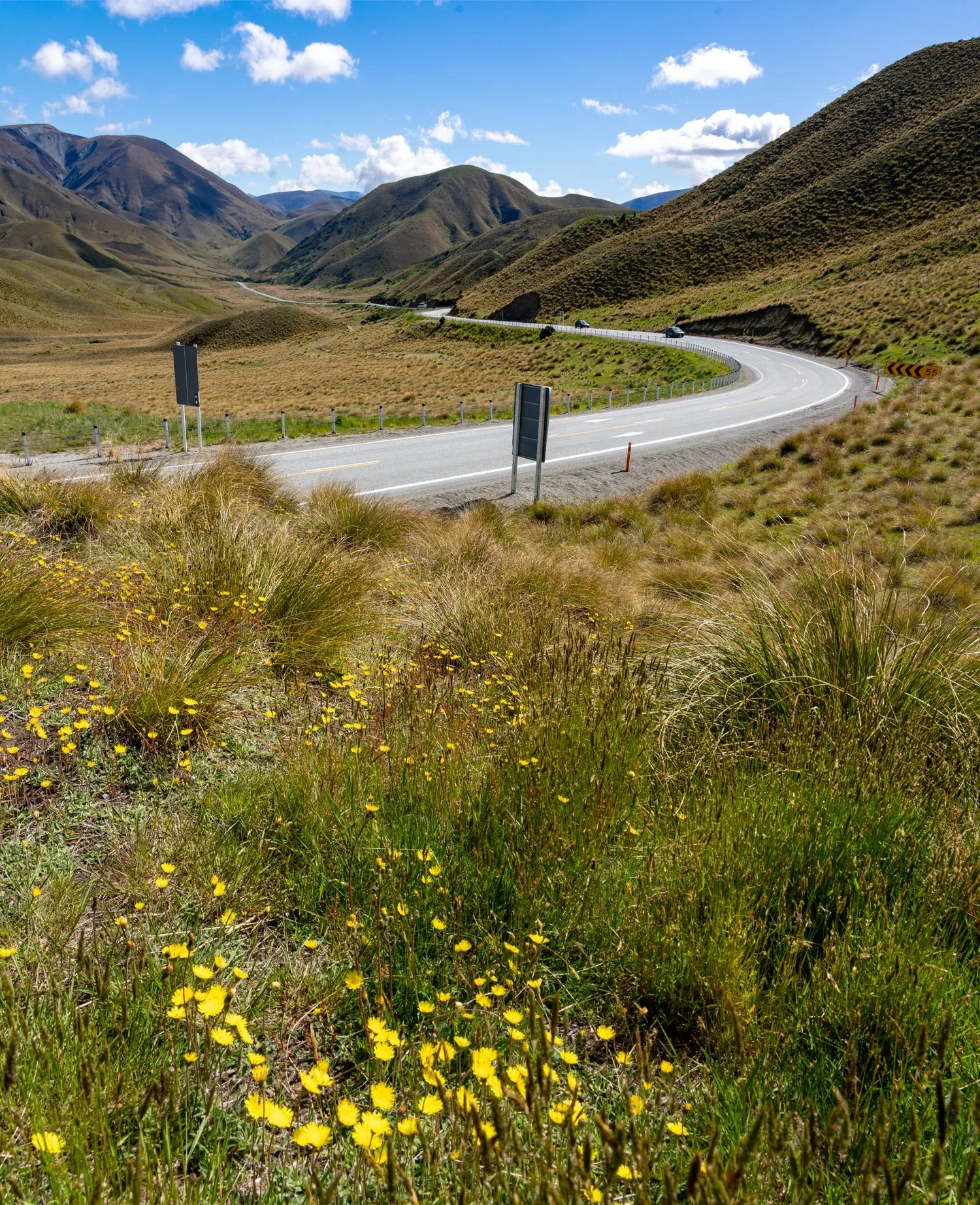
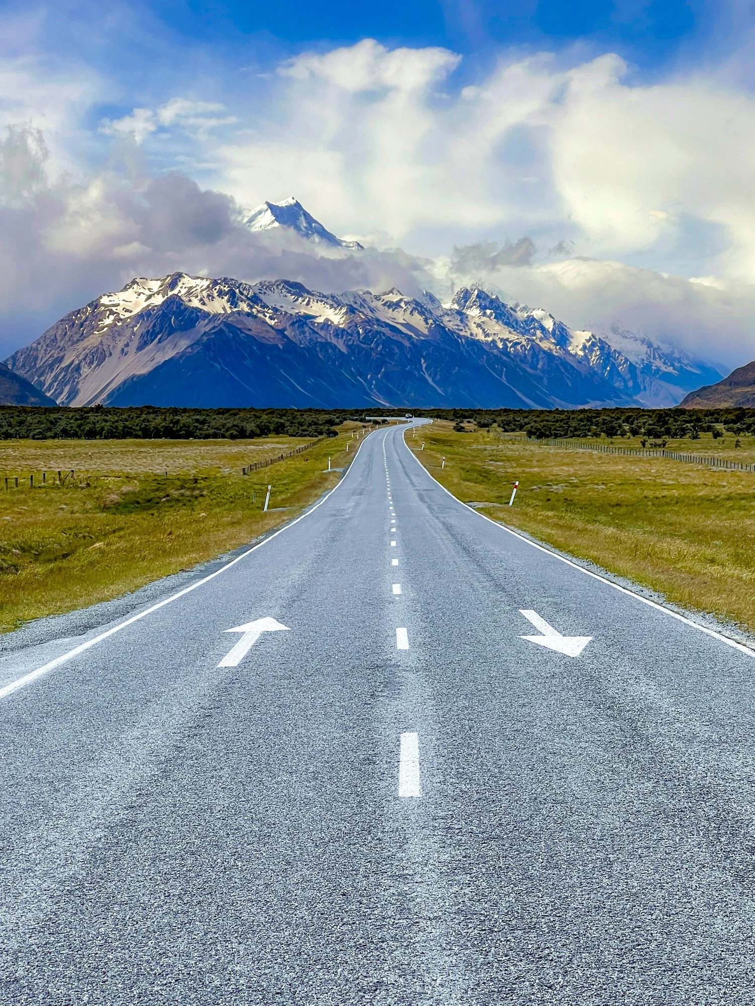
There’s something quietly hypnotic about the roads of the South Island. They rarely travel in straight lines, instead bending and weaving their way through mountains, along lakeshores, and across wide open valleys as if following the natural rhythm of the land. Each corner offers a small sense of anticipation - what view might appear next, another glacier-fed lake, a snow-dusted peak, or a stretch of road disappearing into the distance. These winding roads are less about getting somewhere quickly and more about the joy of the journey itself, where every turn feels like the opening scene of another postcard.
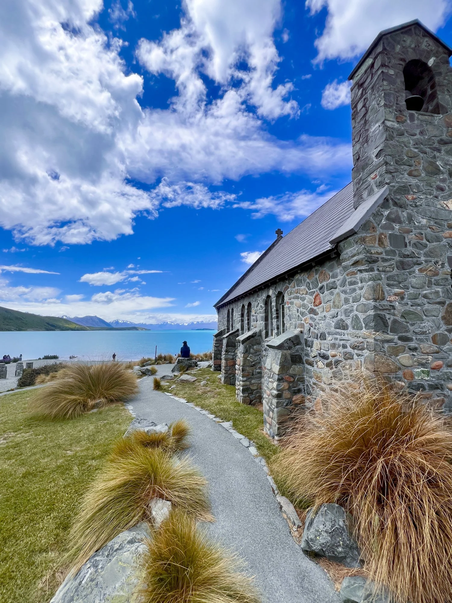
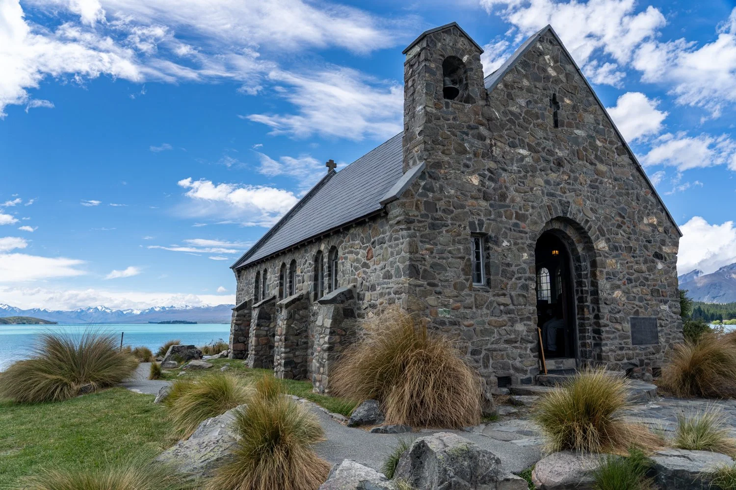
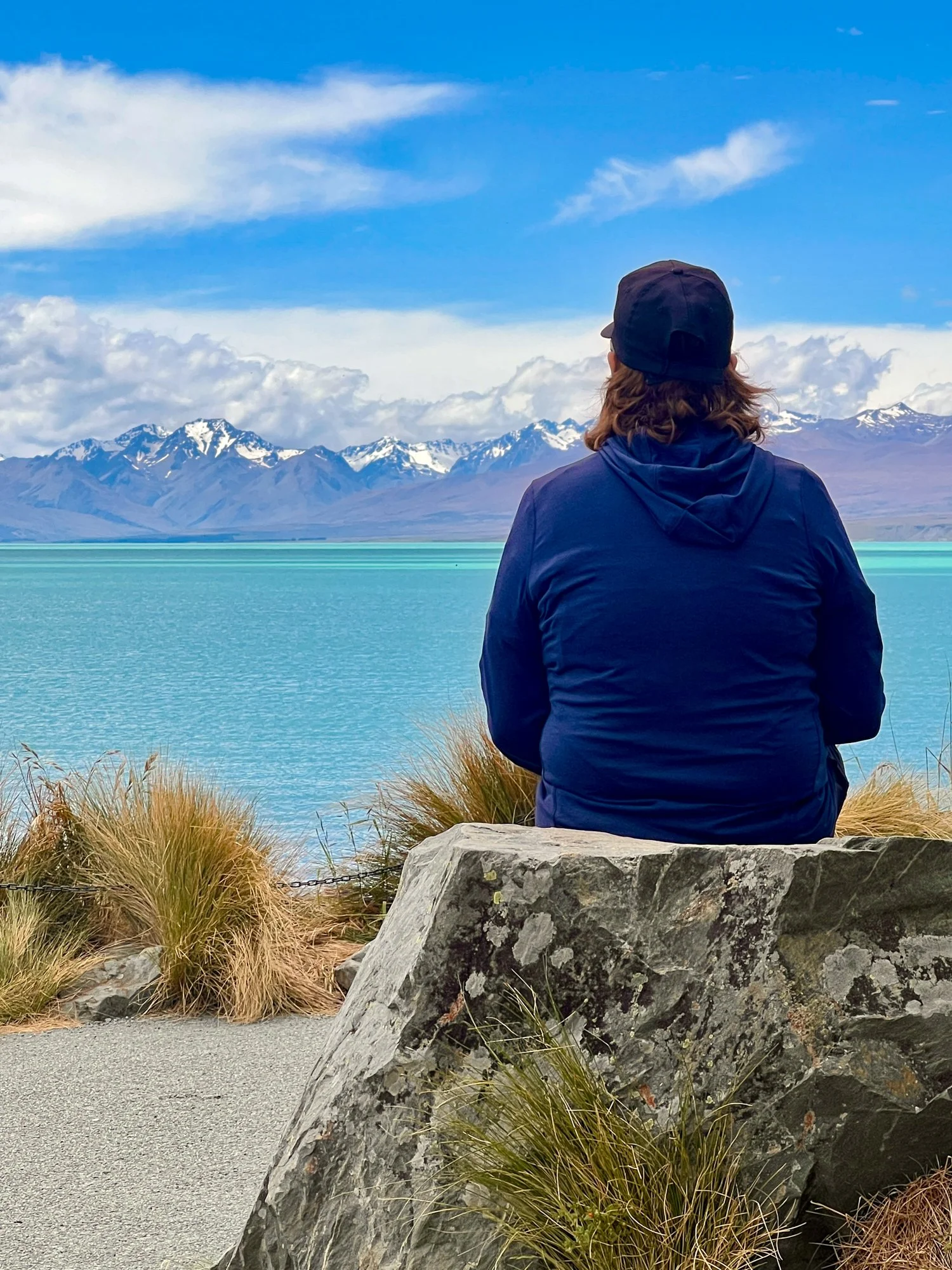
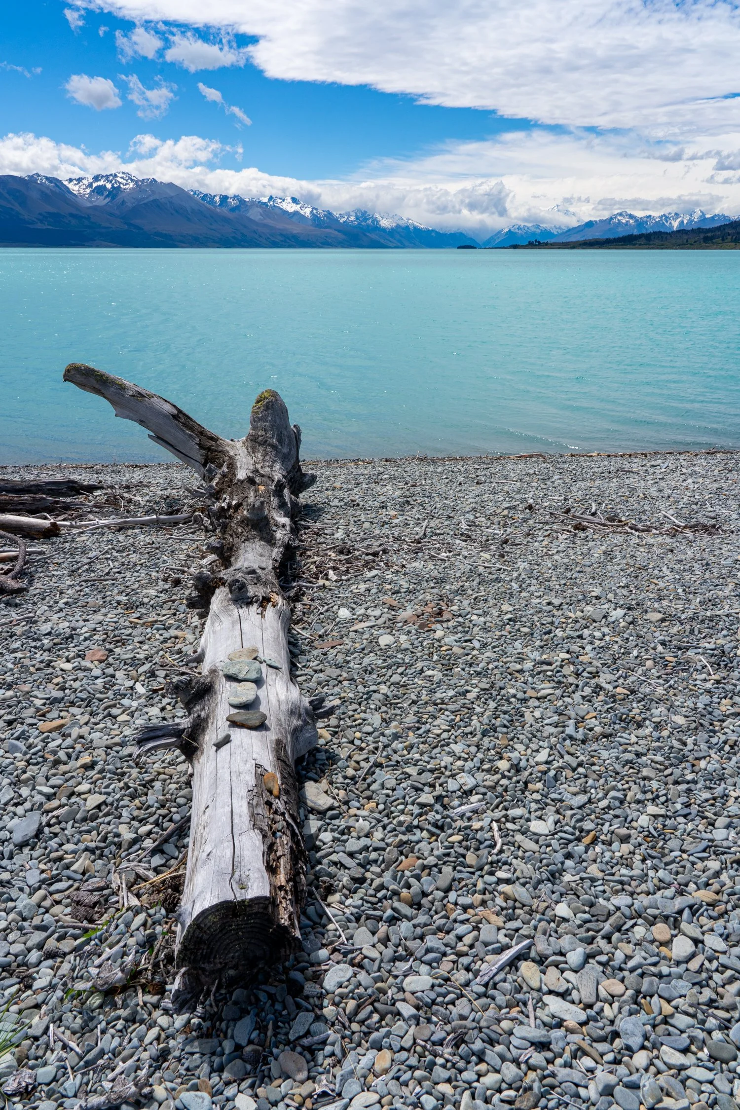
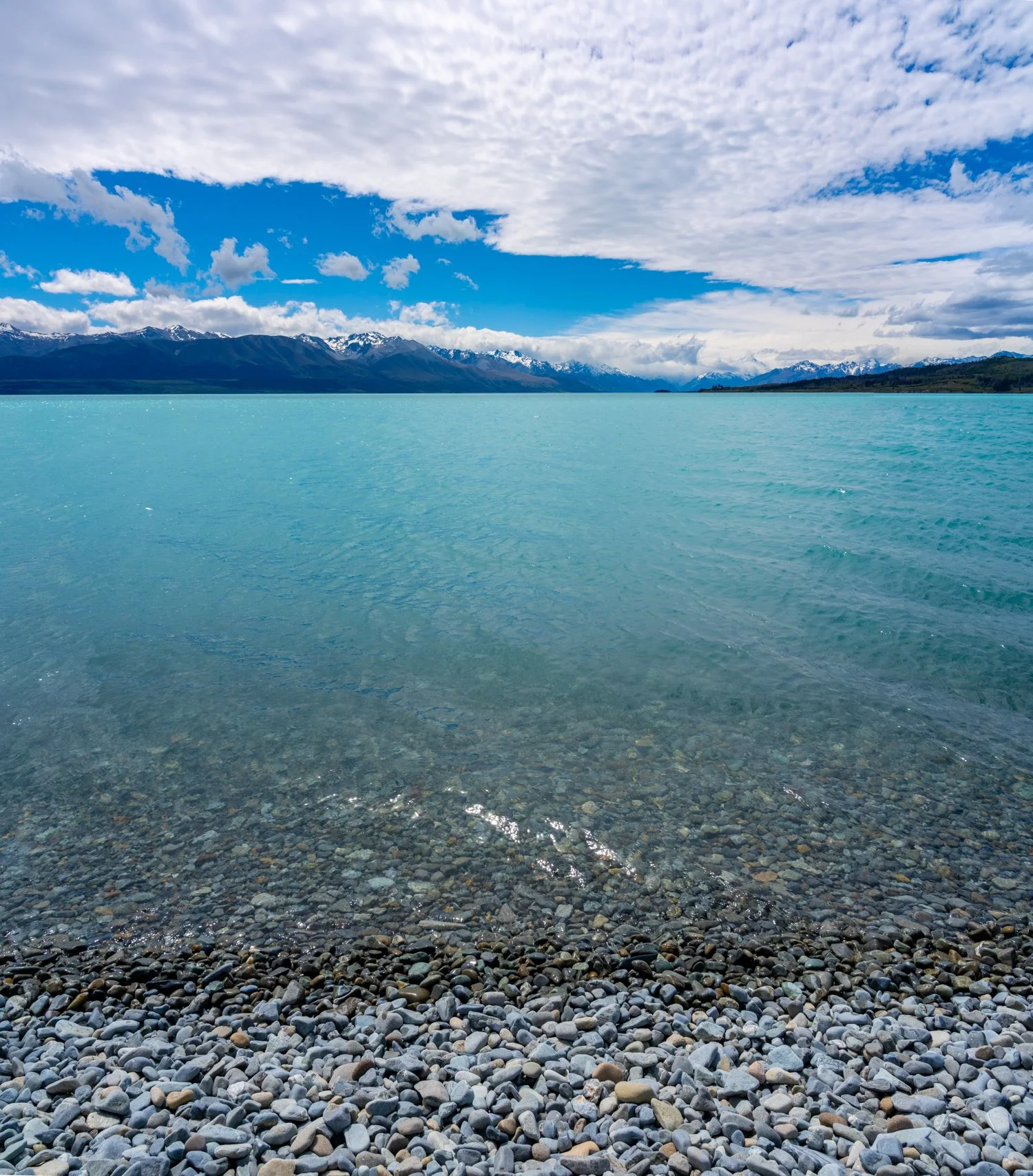
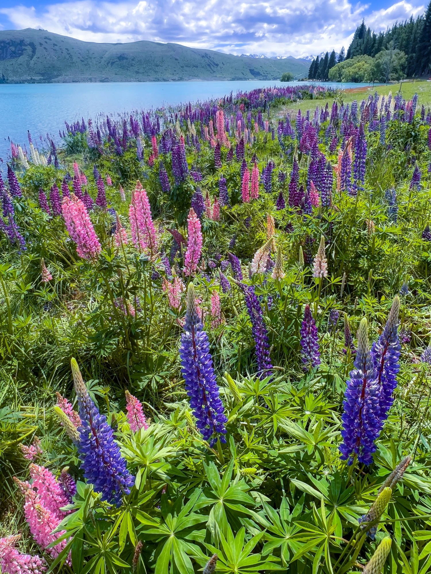
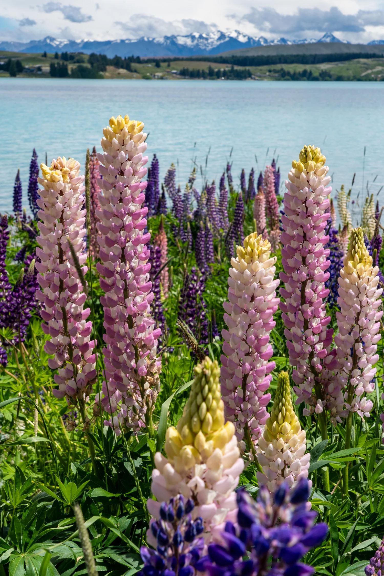
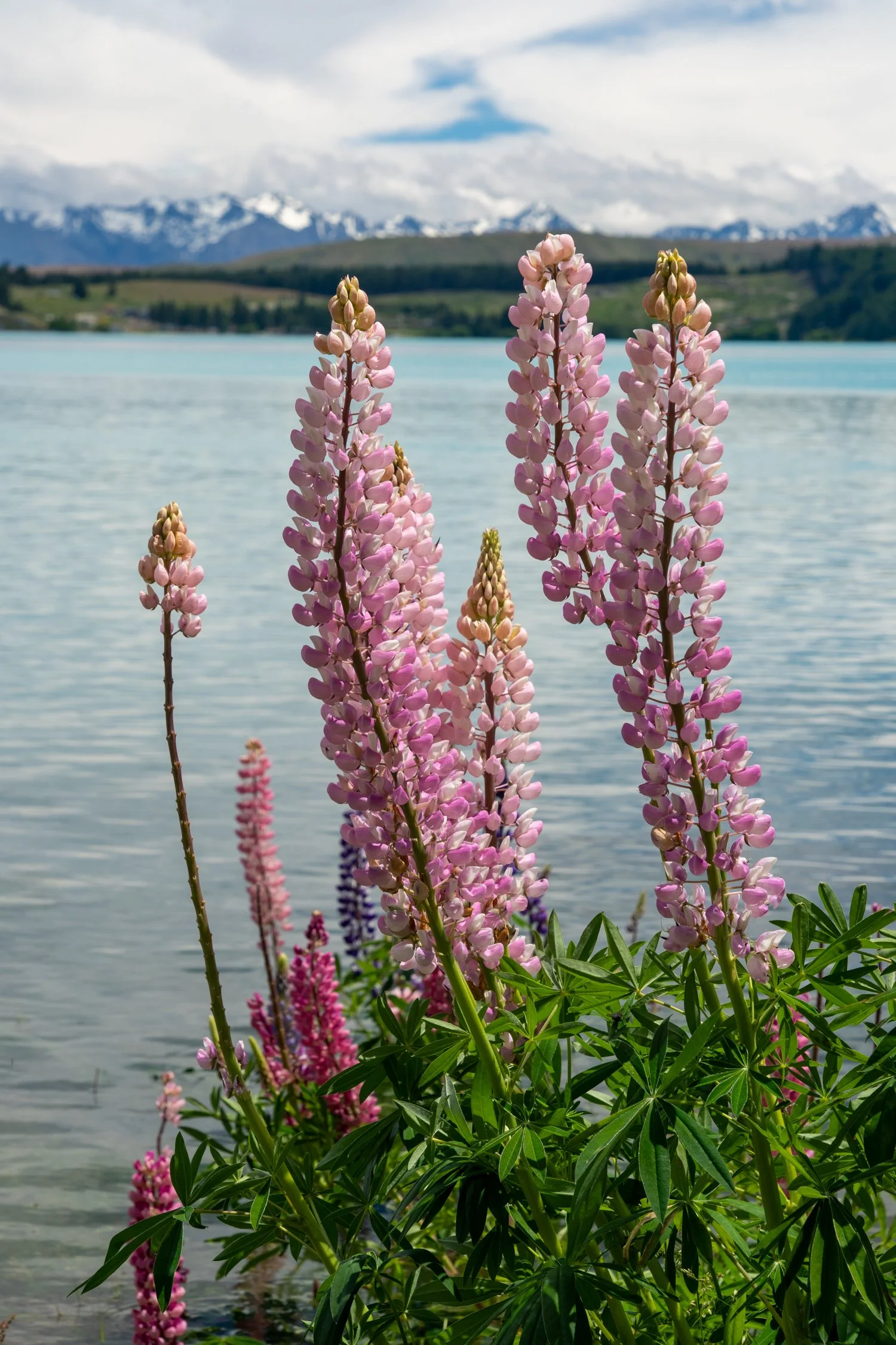
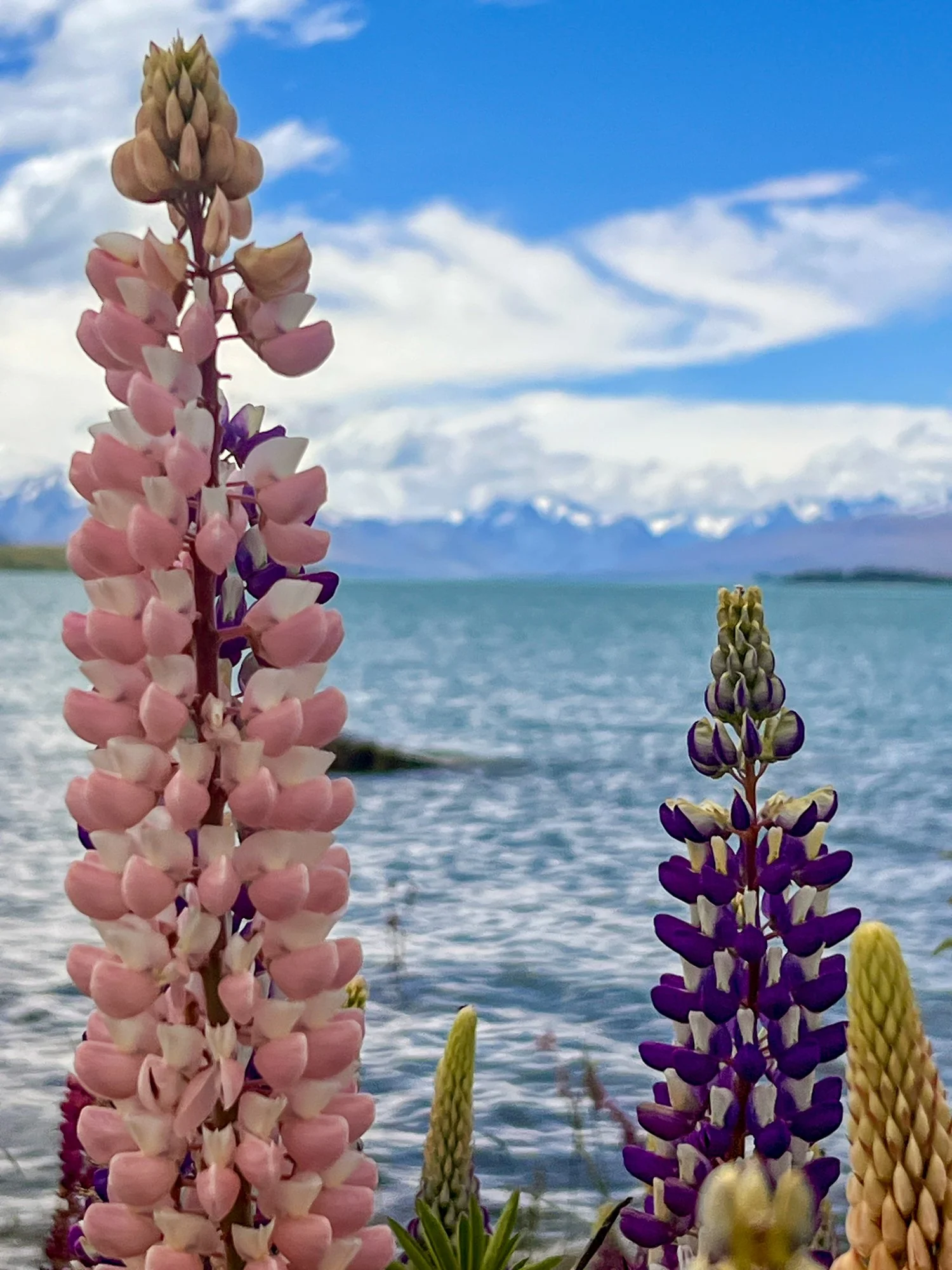
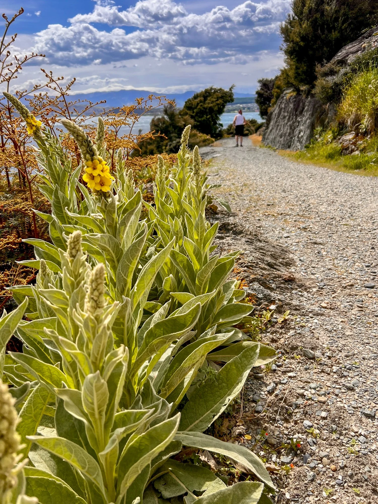
Within a couple of hours of leaving Christchurch, the scenery began to escalate rapidly. Our first major pause was at Lake Tekapo and the famously photogenic Church of the Good Shepherd. As expected, there were plenty of tourists - although I had to remind myself that technically I was one of them. Still, it didn’t take much effort to escape the crowds. A small dirt road along the lake delivered instant solitude. The turquoise water stretched out before us, perfectly still, framed by distant mountains.
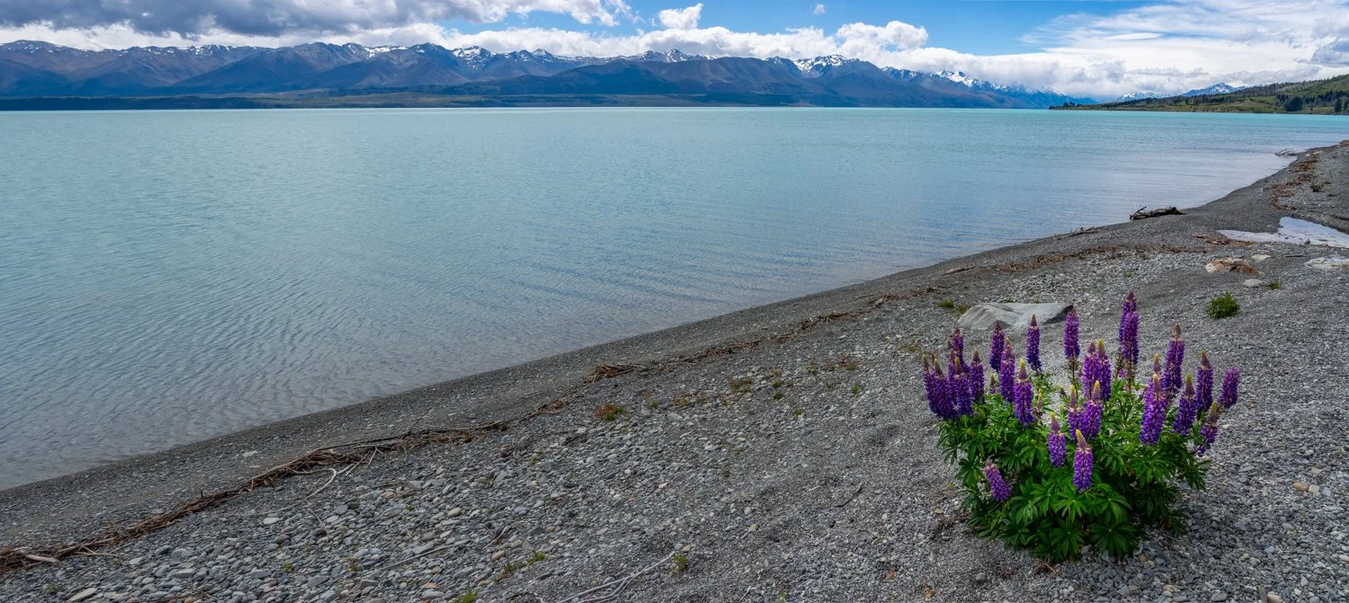
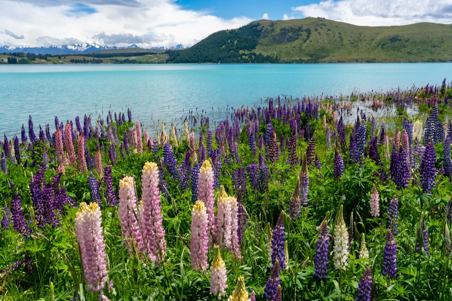
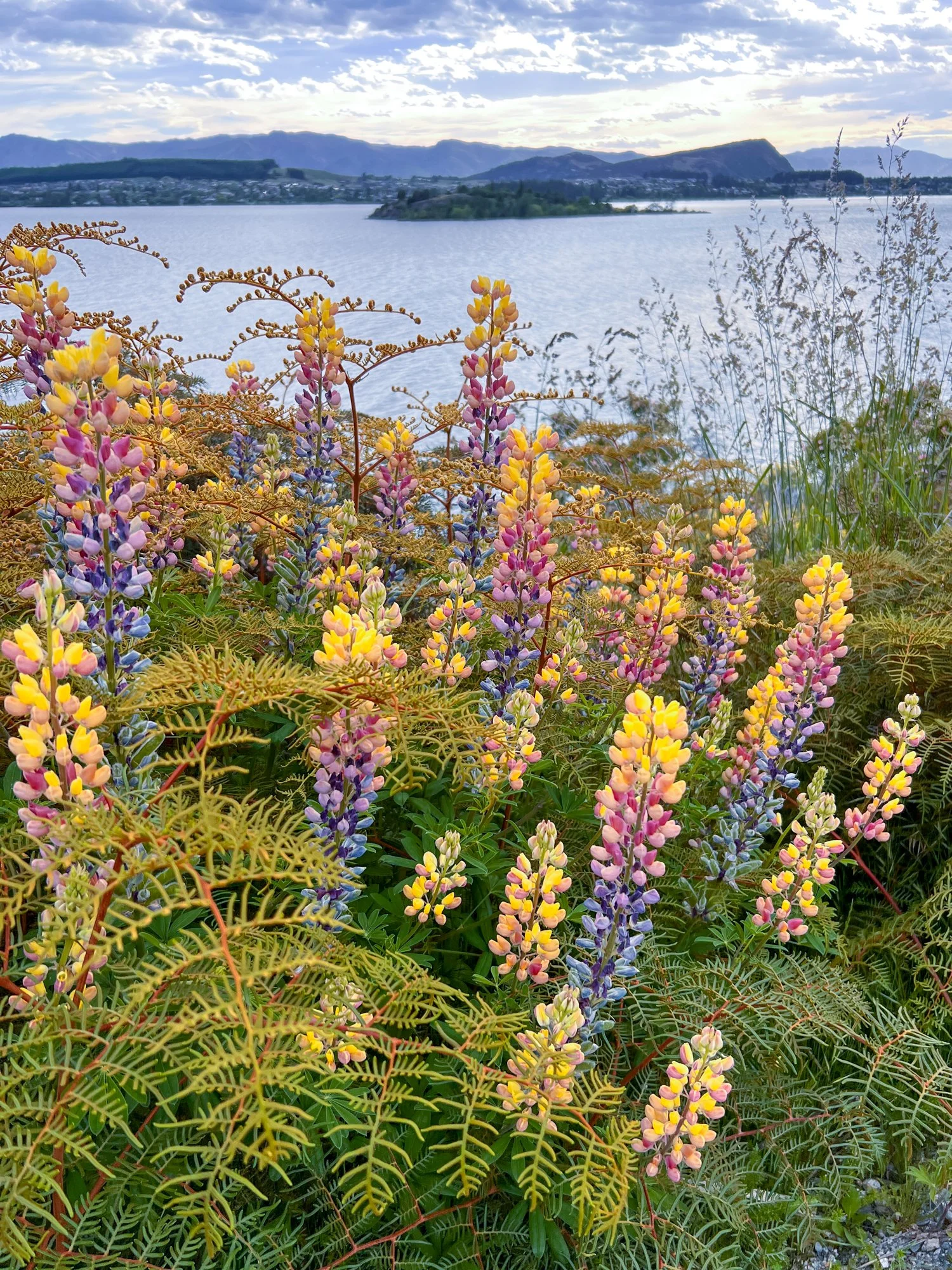
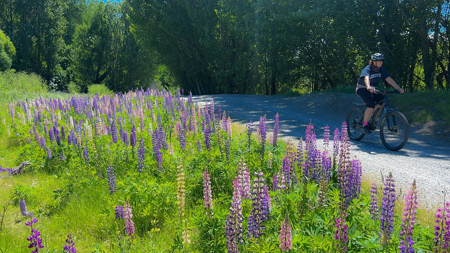
As if the colours weren’t already vivid enough, the shoreline was scattered with bright purple and pink lupins. These wildflowers look like they’ve been planted by an overly enthusiastic landscape designer, but the locals will quickly tell you they’re actually an invasive weed. Quite possibly the most photogenic weed on Earth.
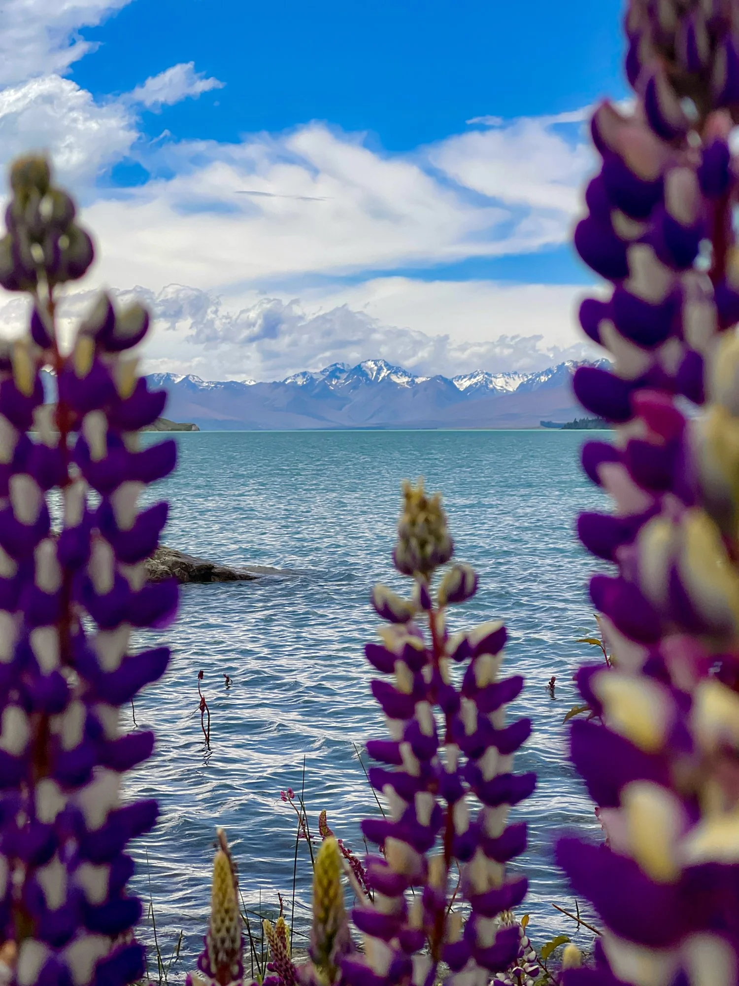
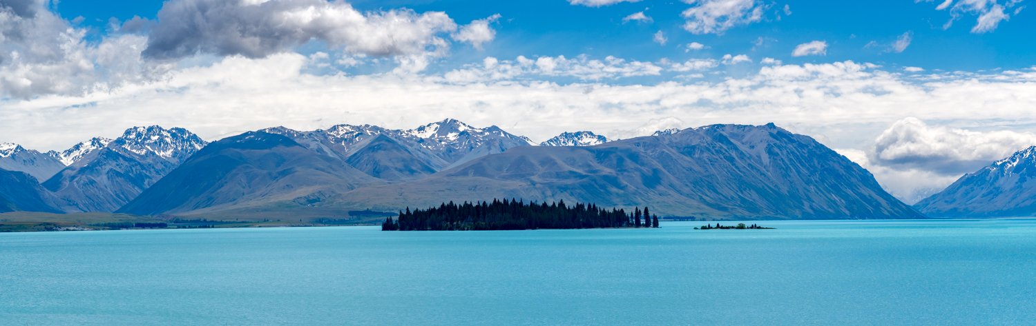
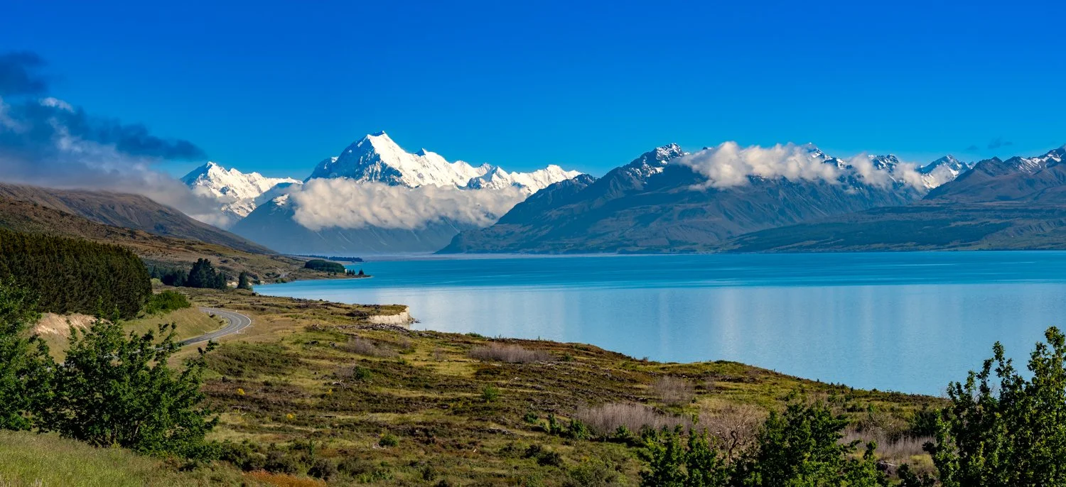
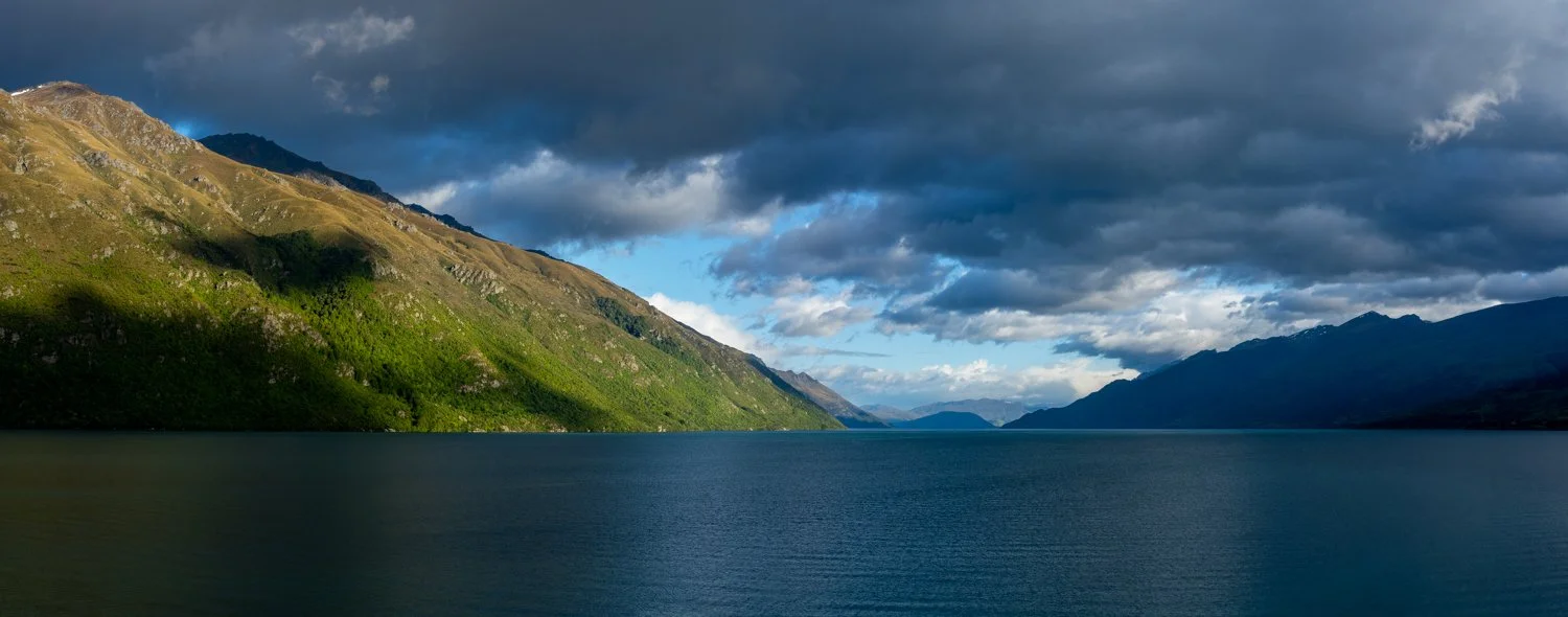
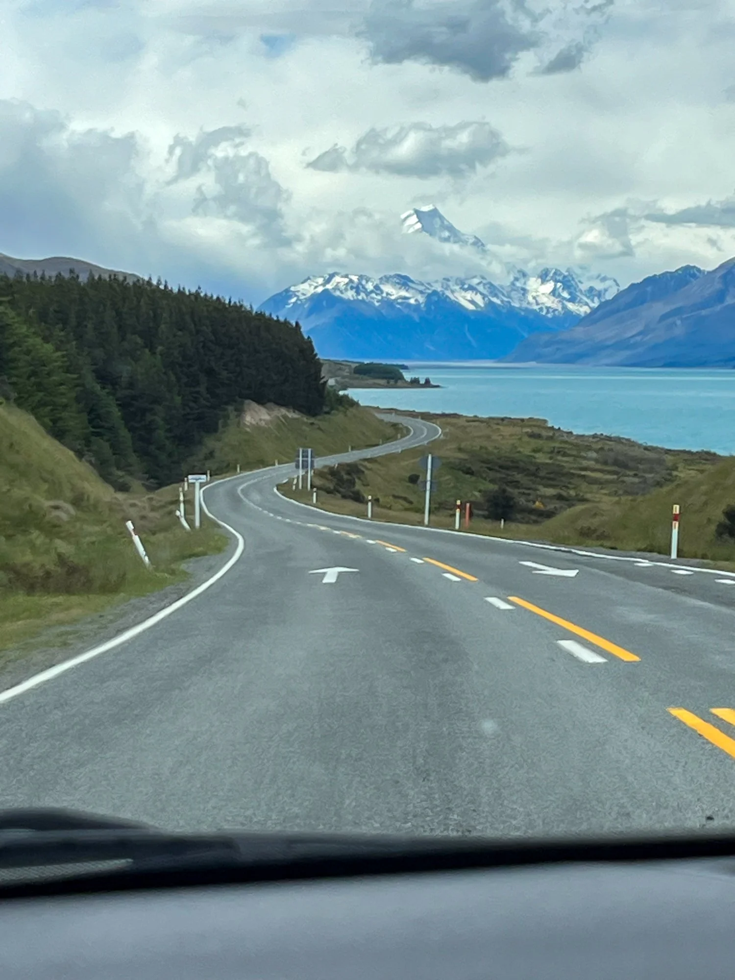
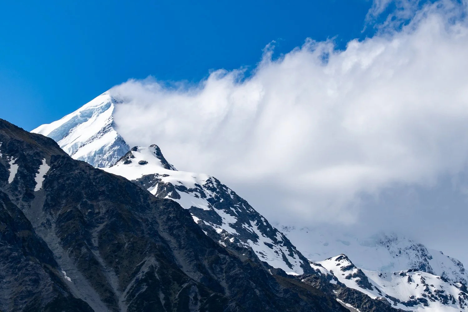
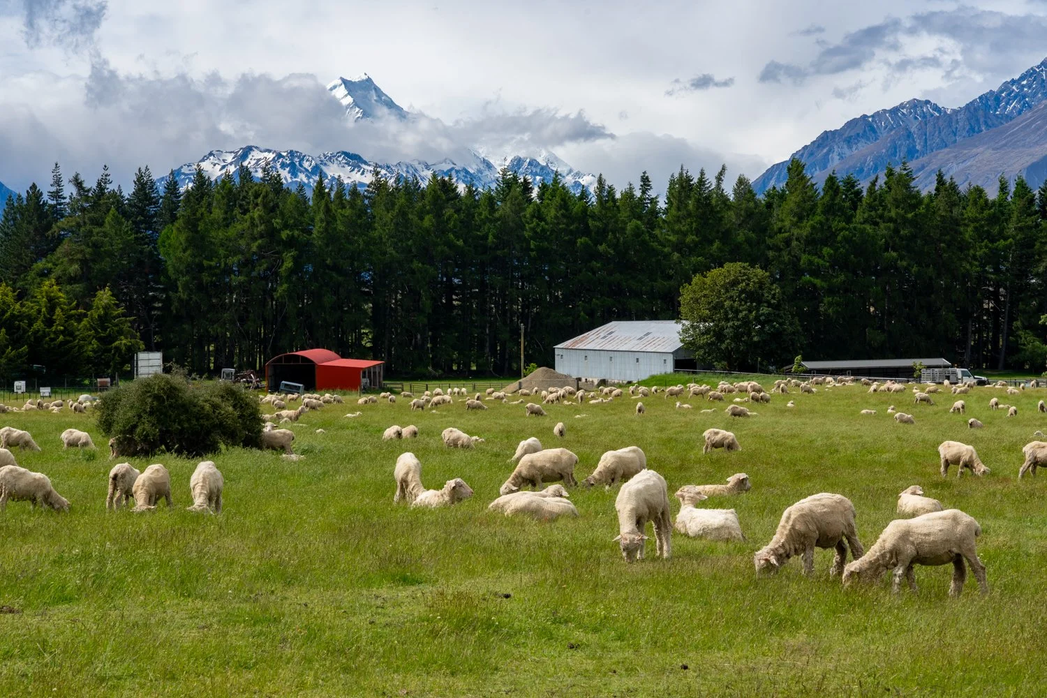
Continuing south along Lake Pukaki, the scenery dialled up yet again. The lake’s glacial blue water followed the road like, and slowly, almost theatrically, Aoraki / Mount Cook began to appear on the horizon. Snow-capped peaks rose behind the lake like a painted backdrop that refused to feel real. The view was so perfect it felt slightly indulgent that this was only day two.
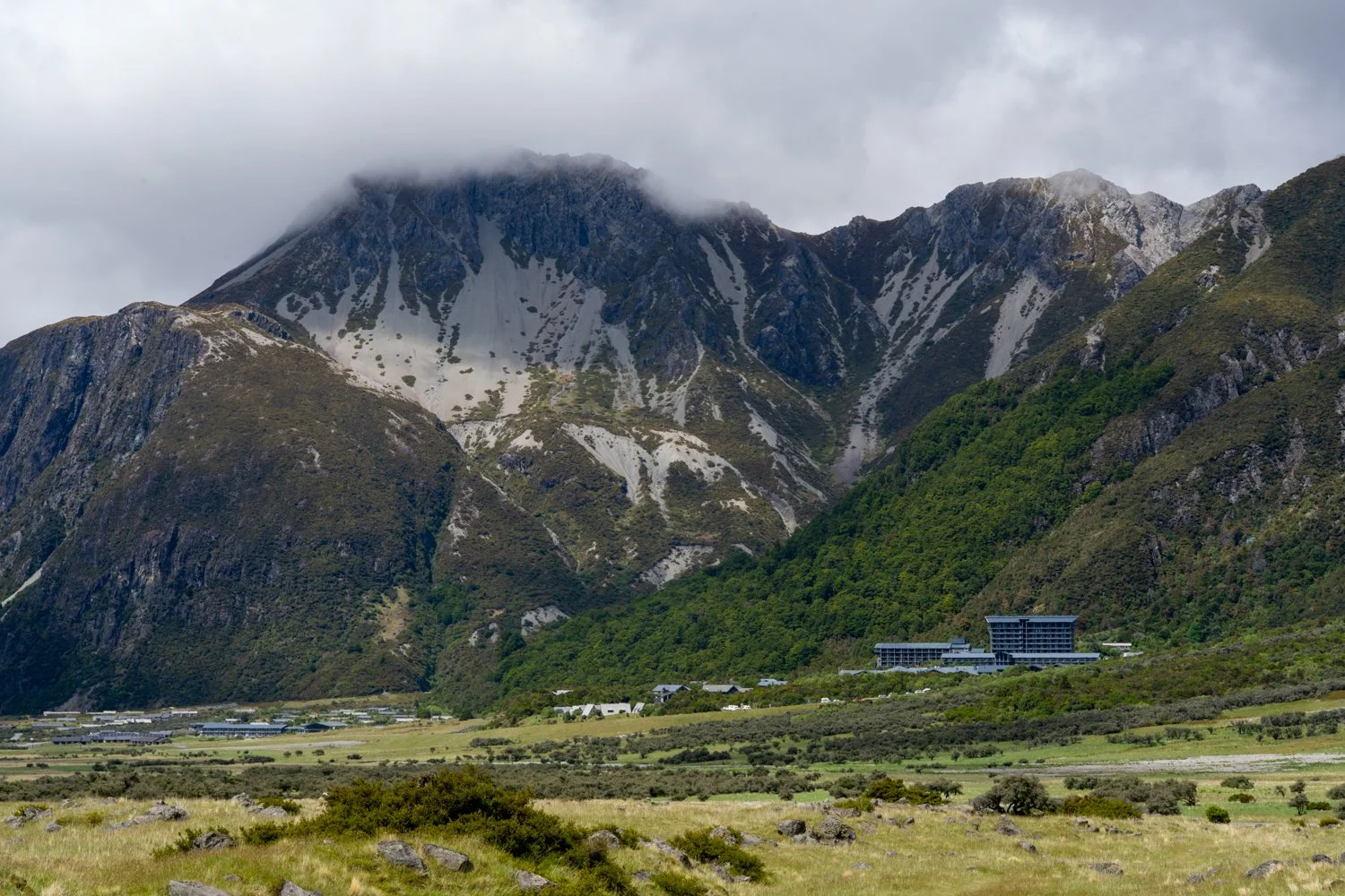
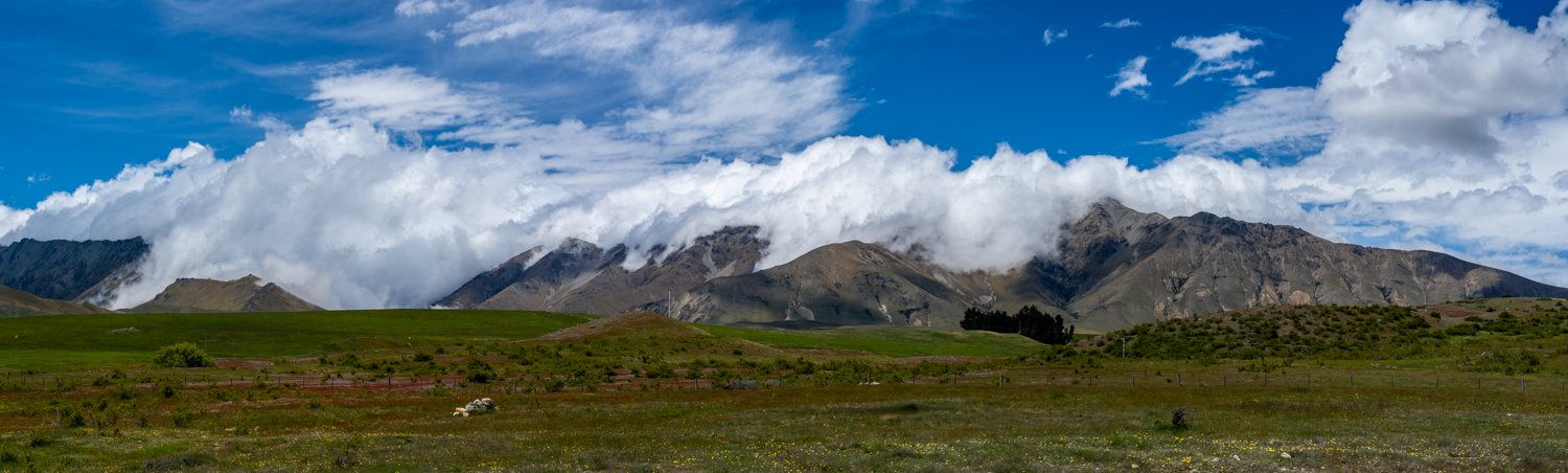
Aoraki / Mount Cook National Park
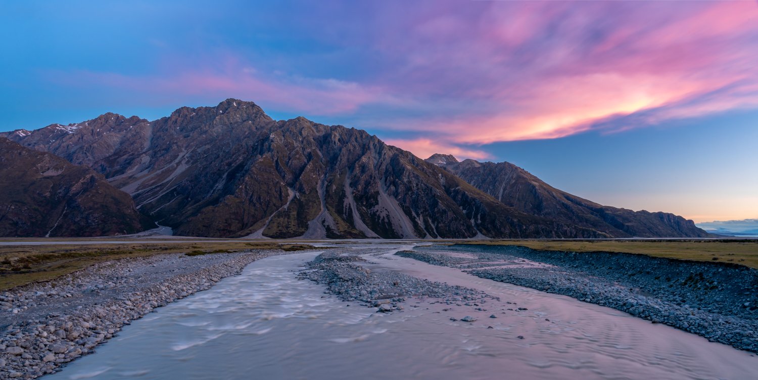
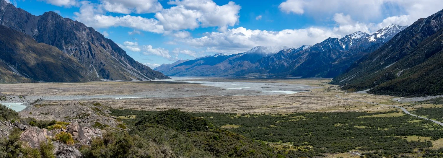
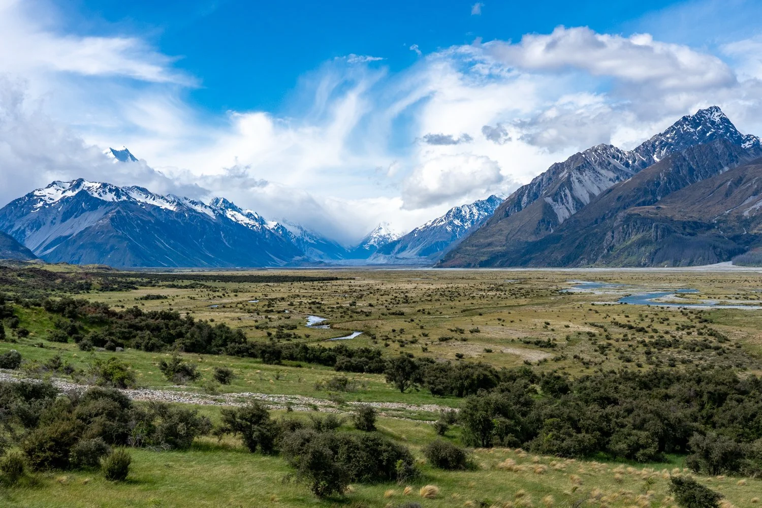
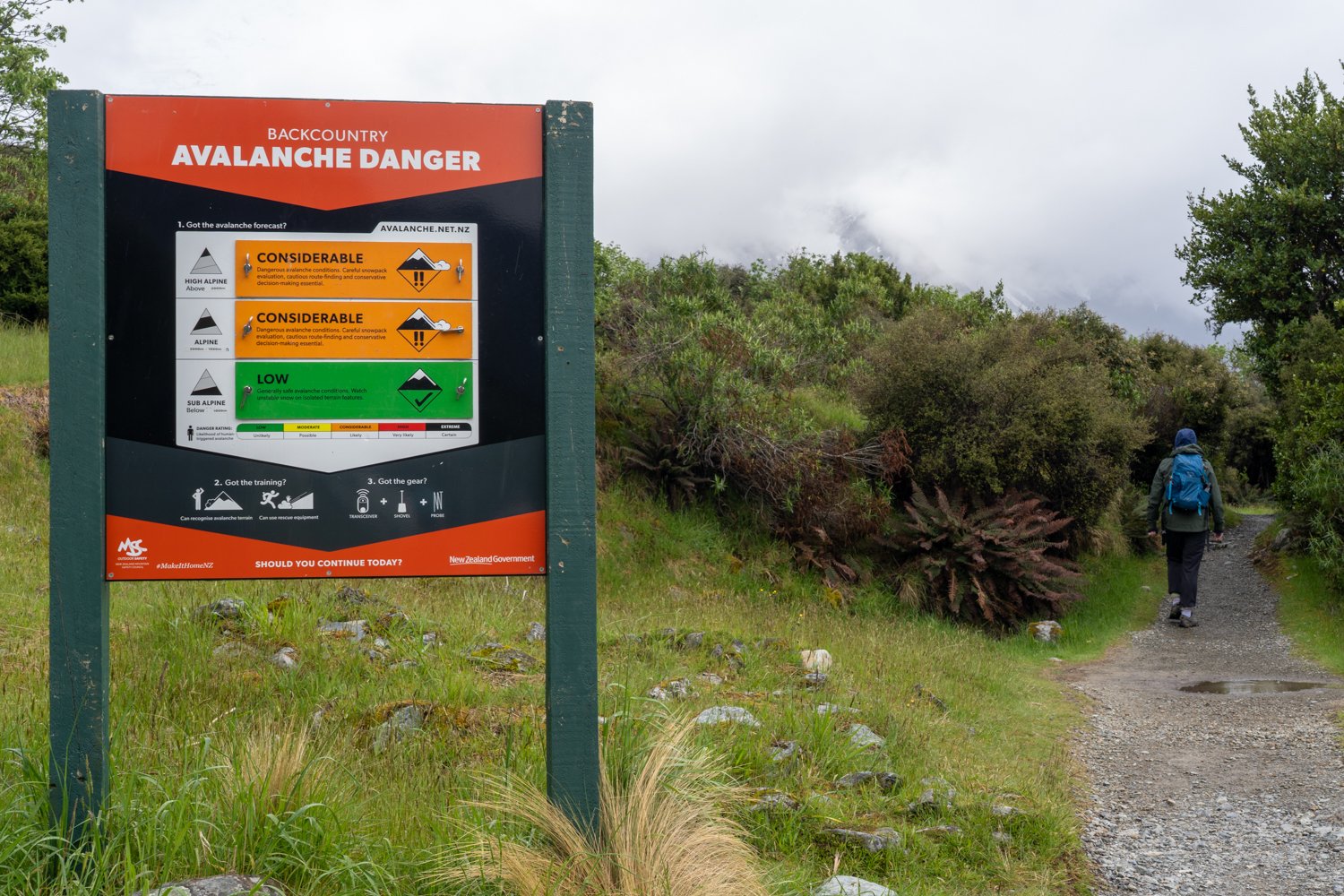
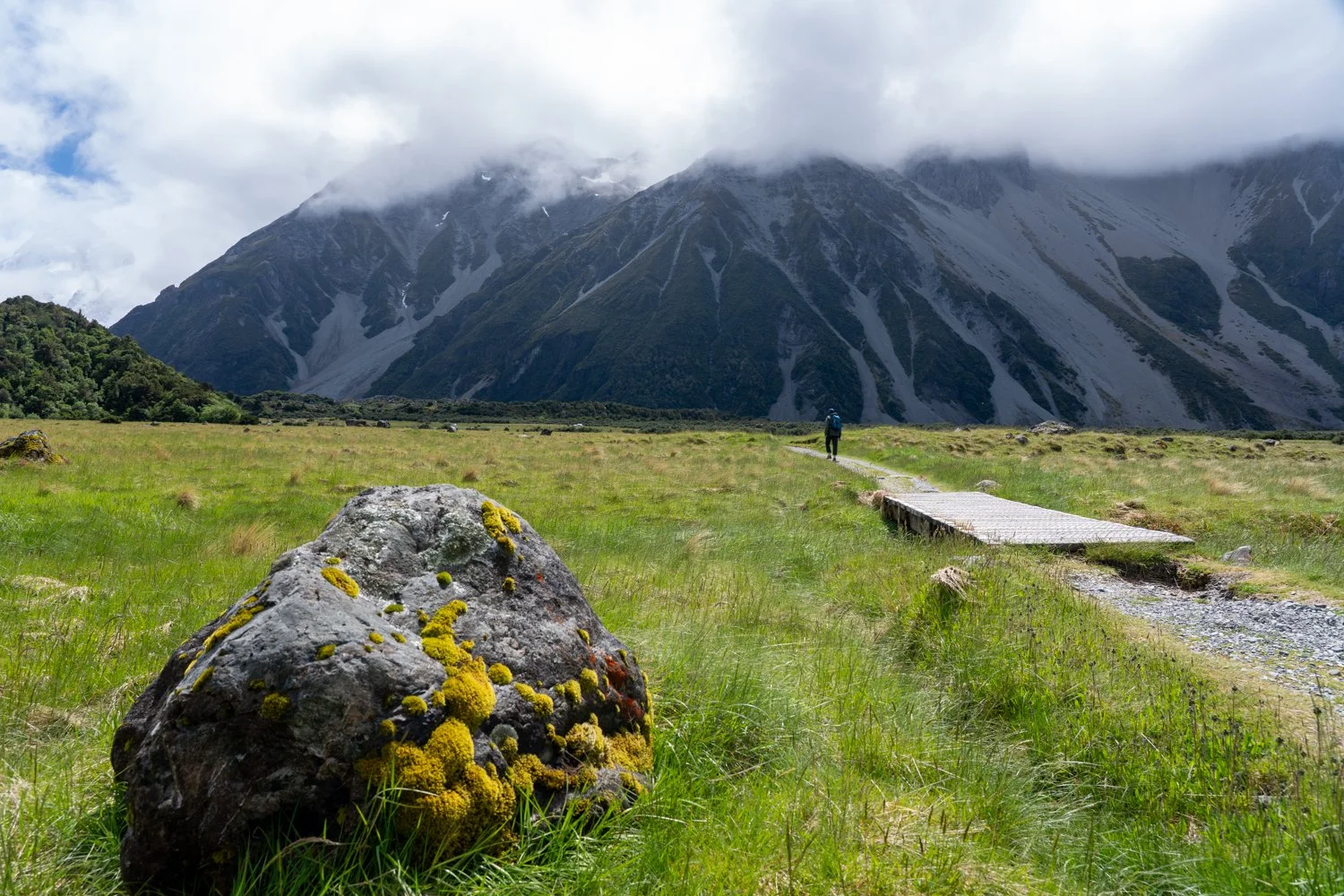
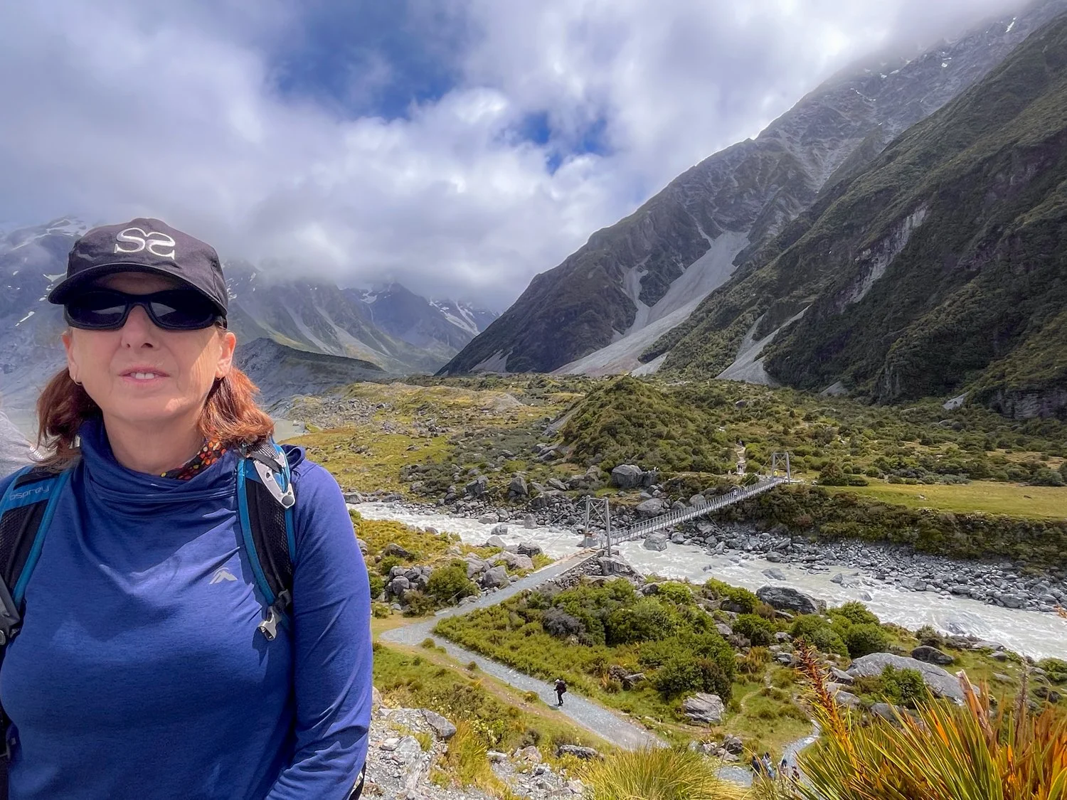
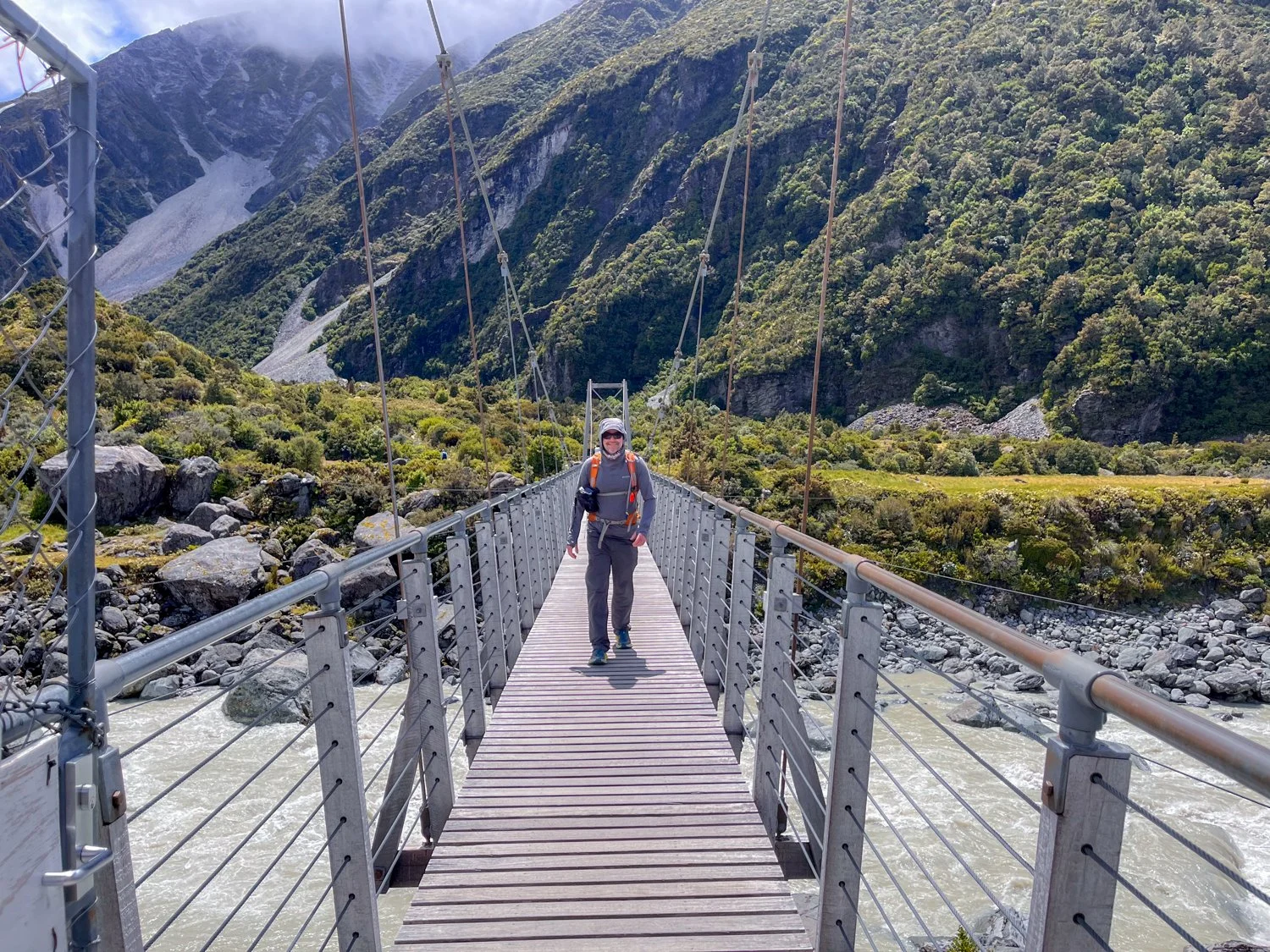
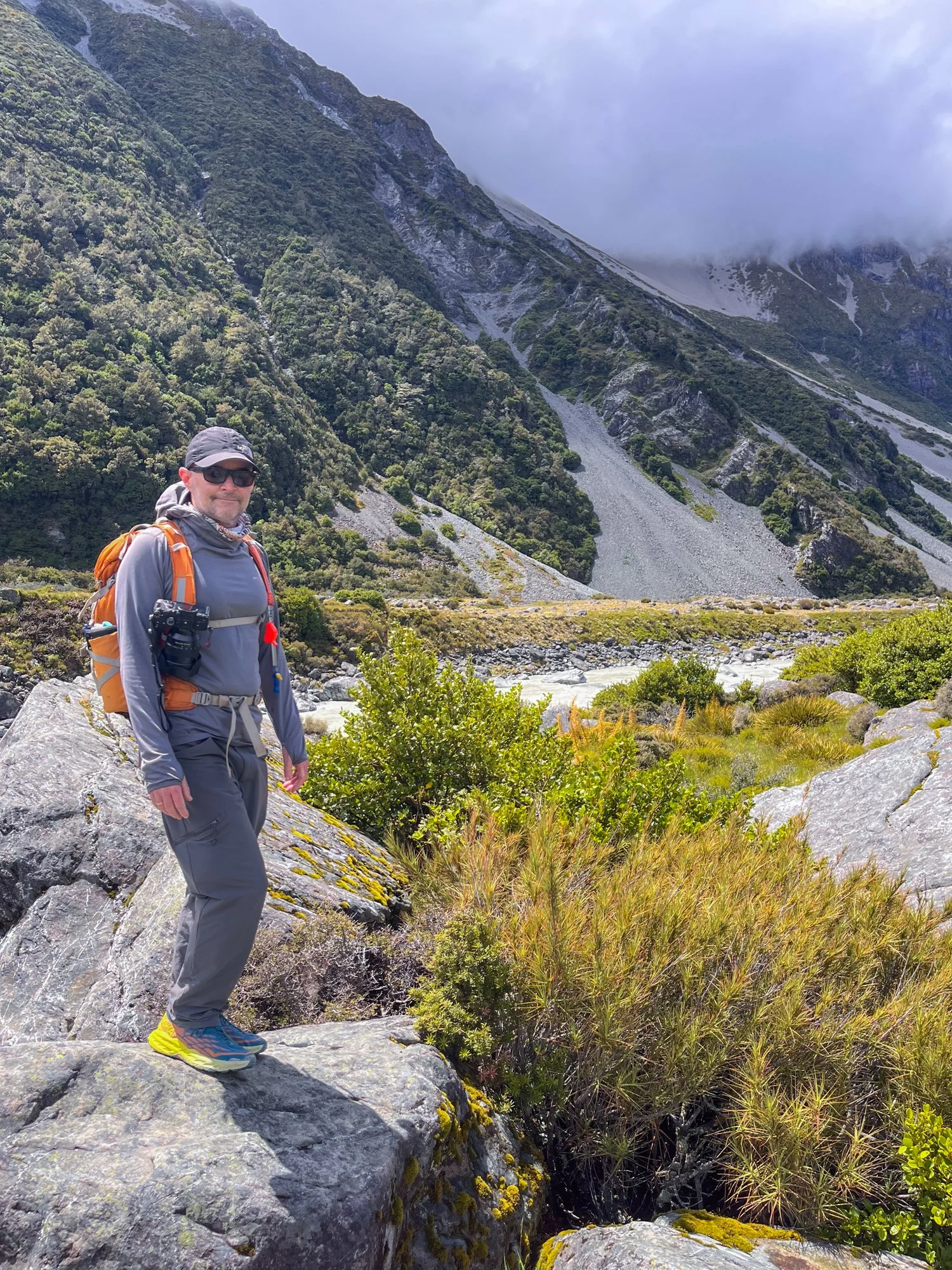
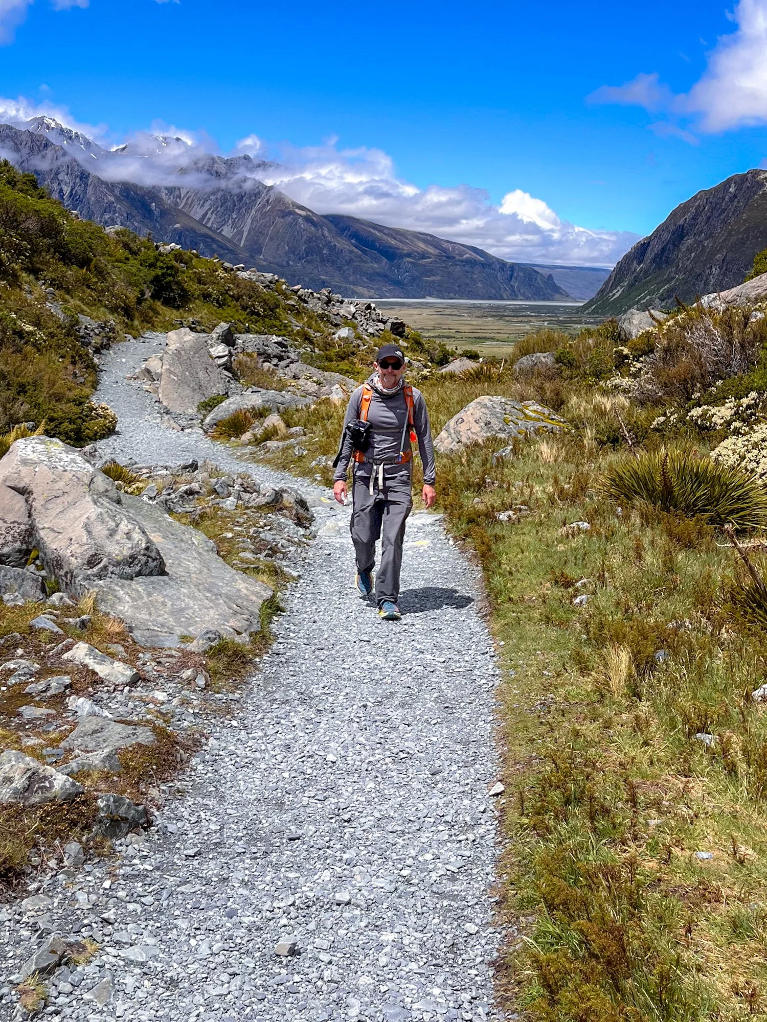
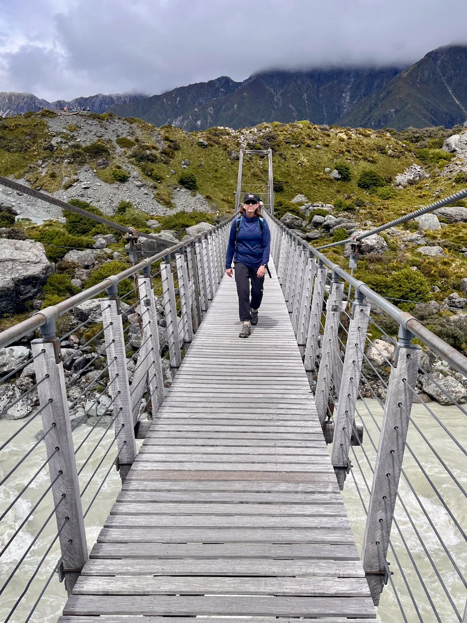
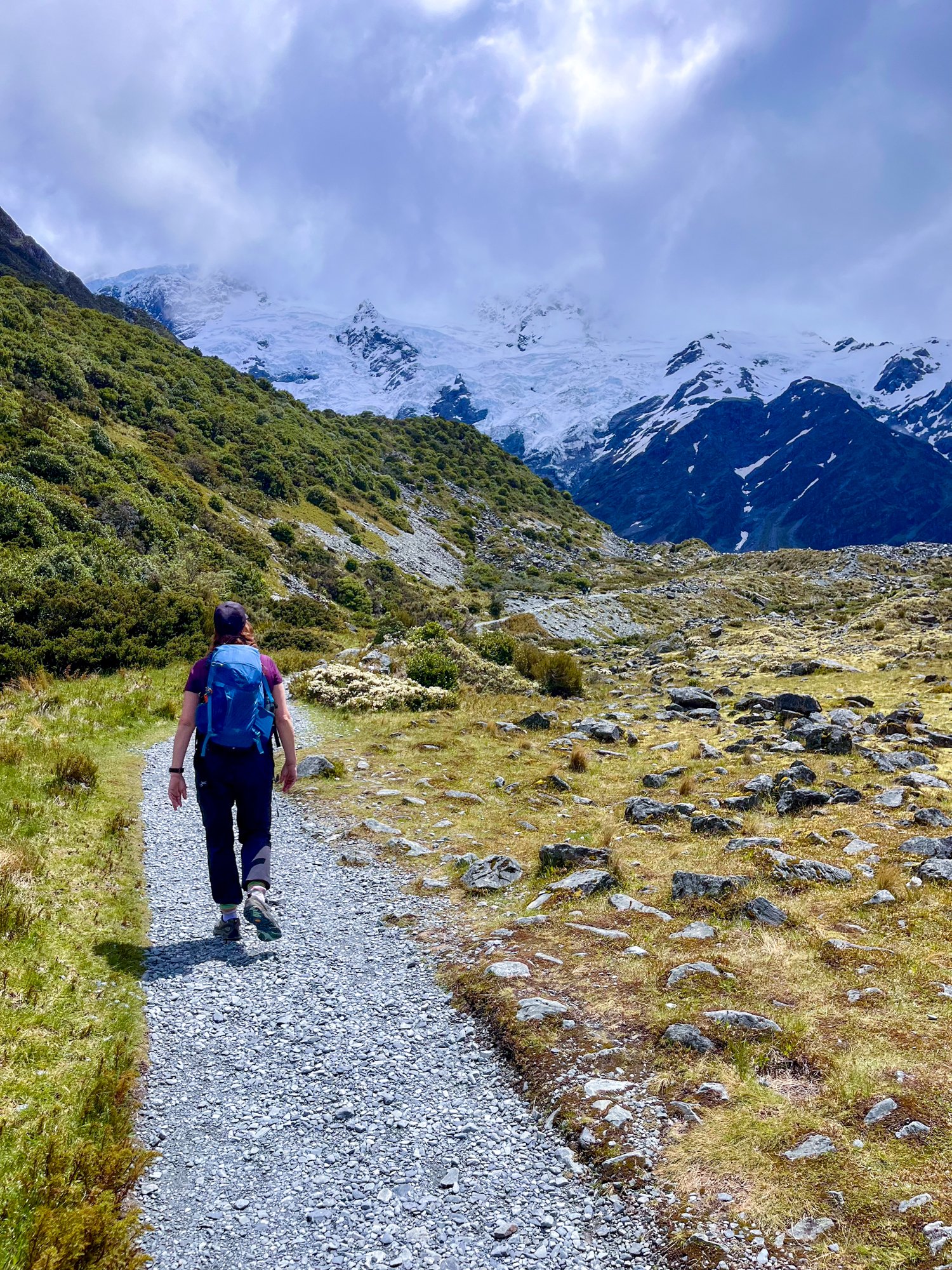
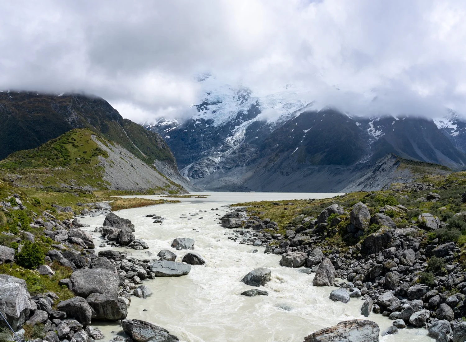
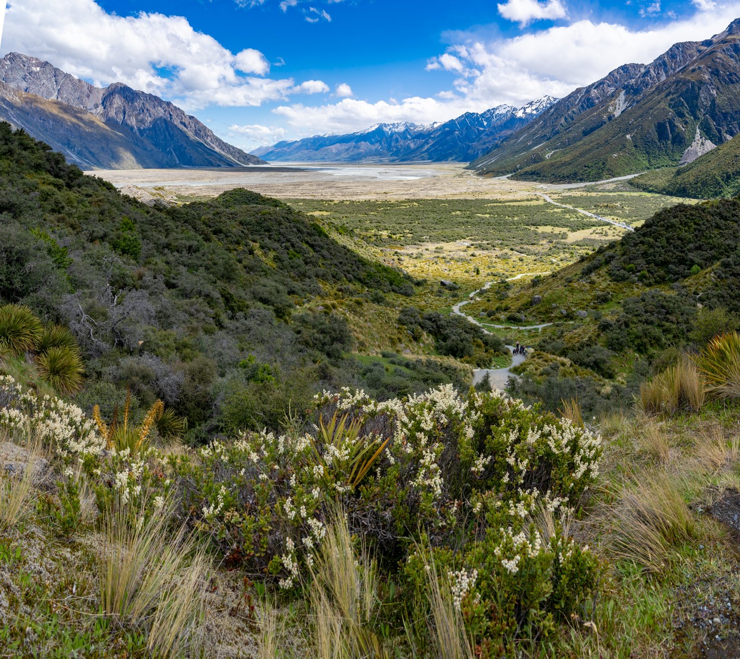
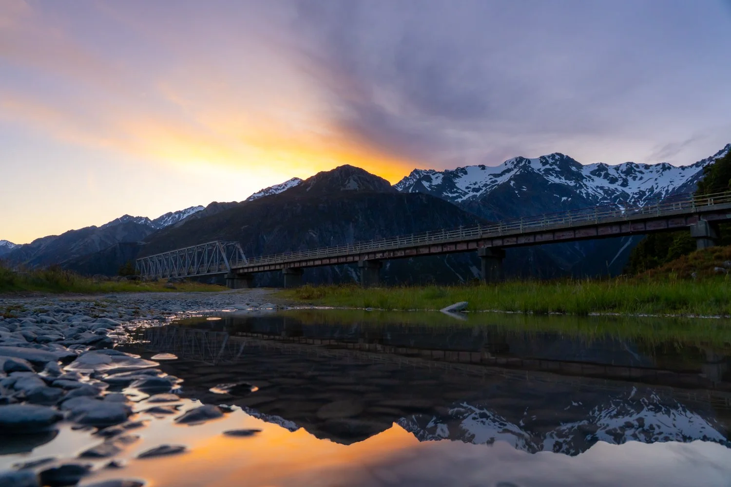
The next day was our official “warm-up”, which in hiking terms meant 16.5 kilometres of “short” walks. We tackled sections of the famous Hooker Valley Track, though unfortunately part of it was closed so we could only venture part way. Even so, suspension bridges, glacier-fed rivers and towering peaks ensured the walk still delivered the goods. Later we climbed to the Sealy Tarns Track viewpoint overlooking Mueller Lake.
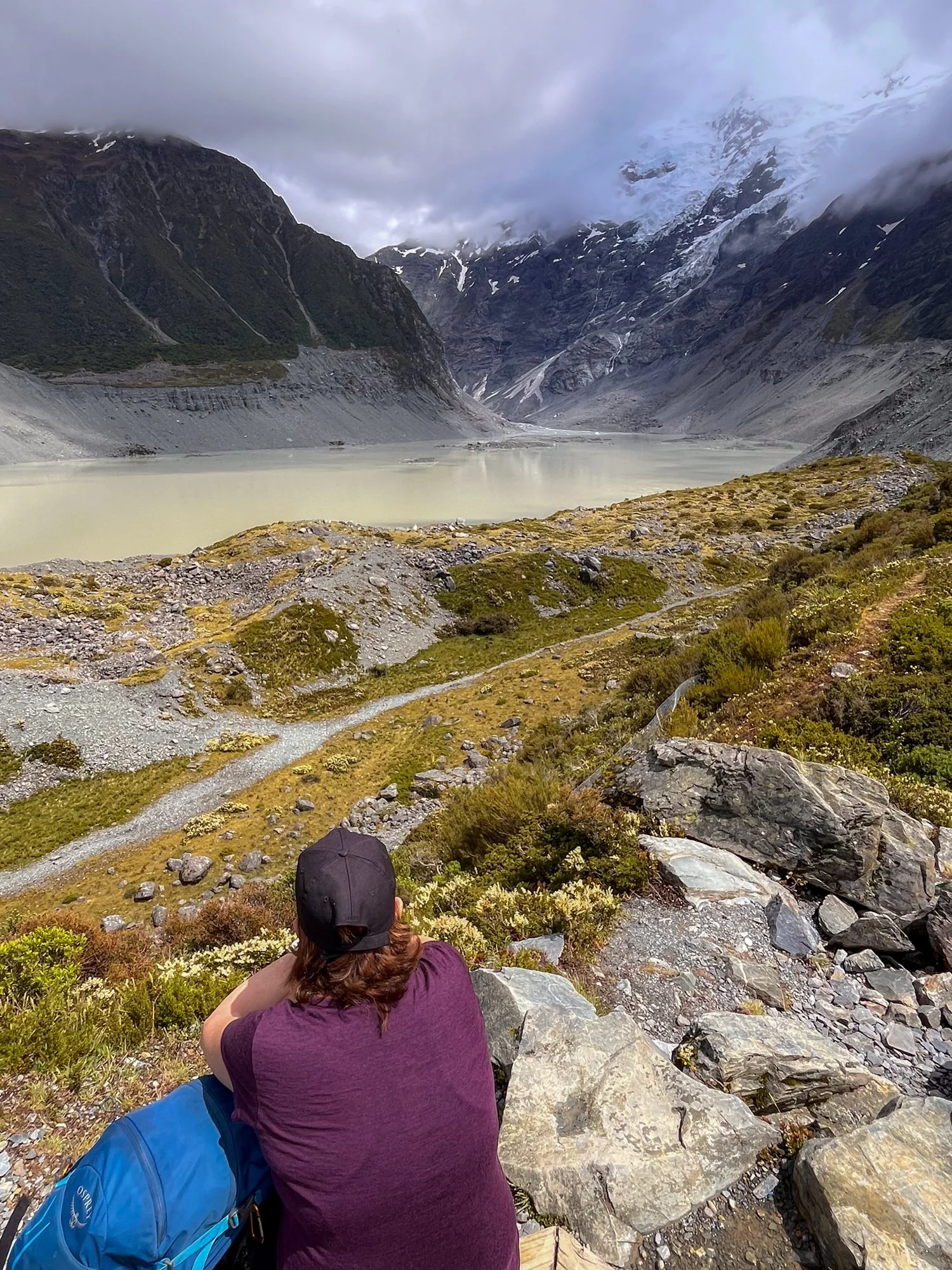
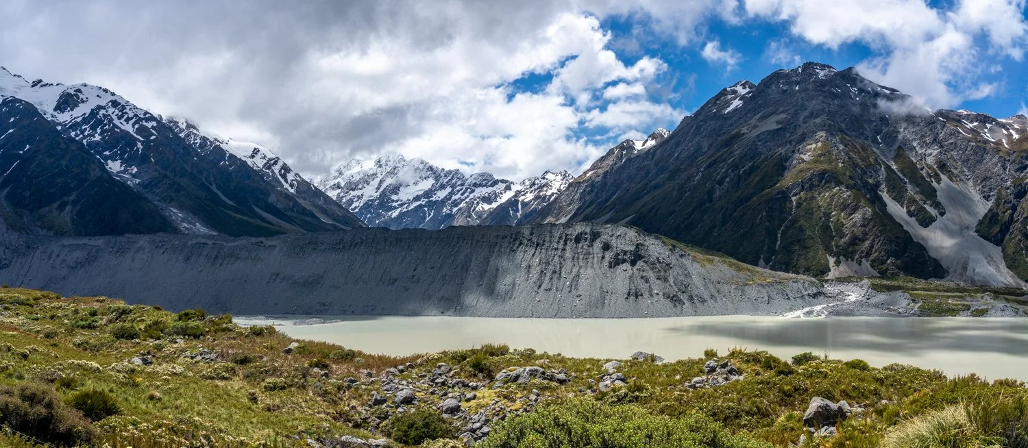
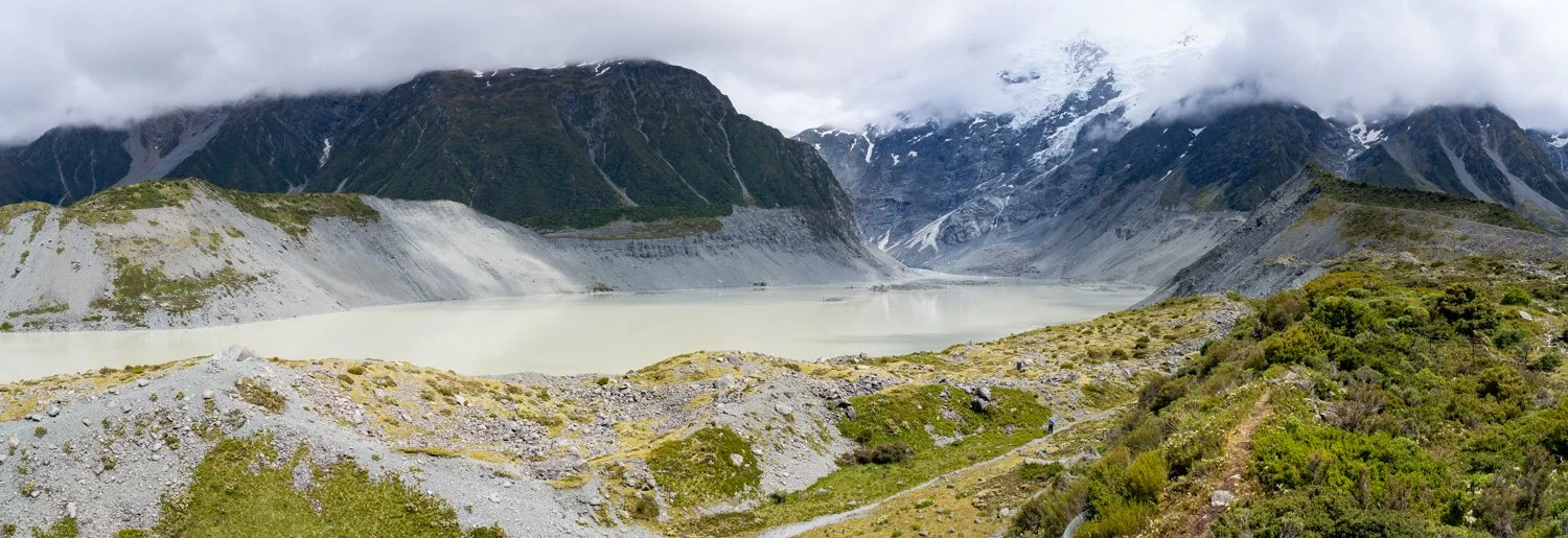
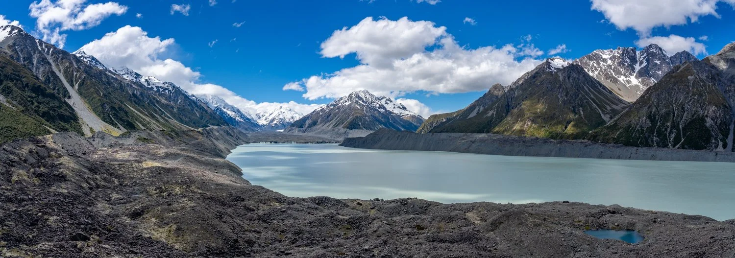
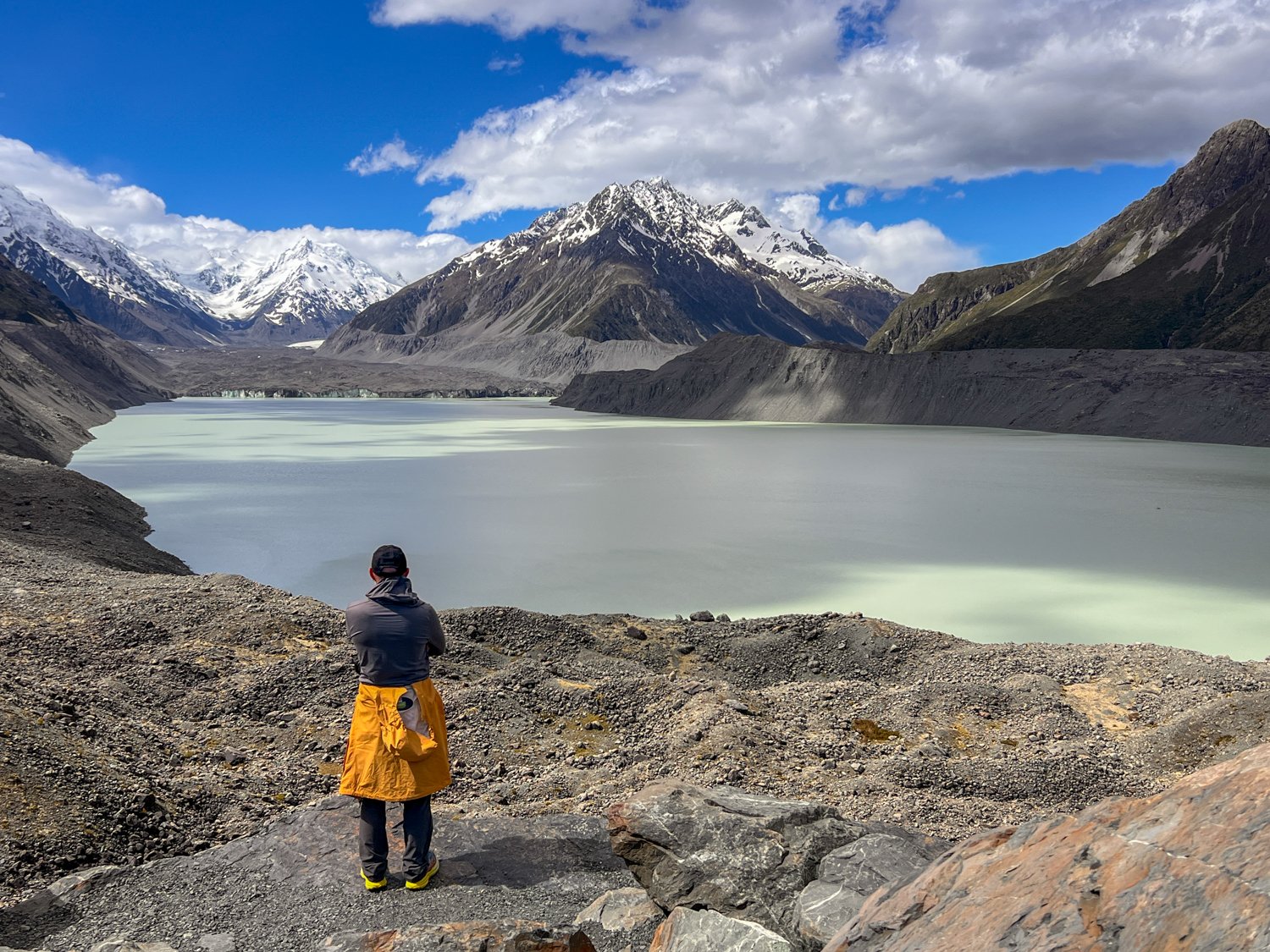
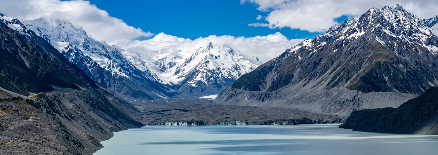
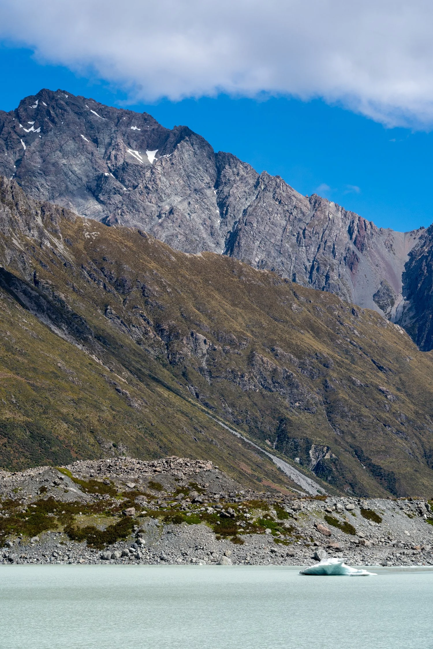
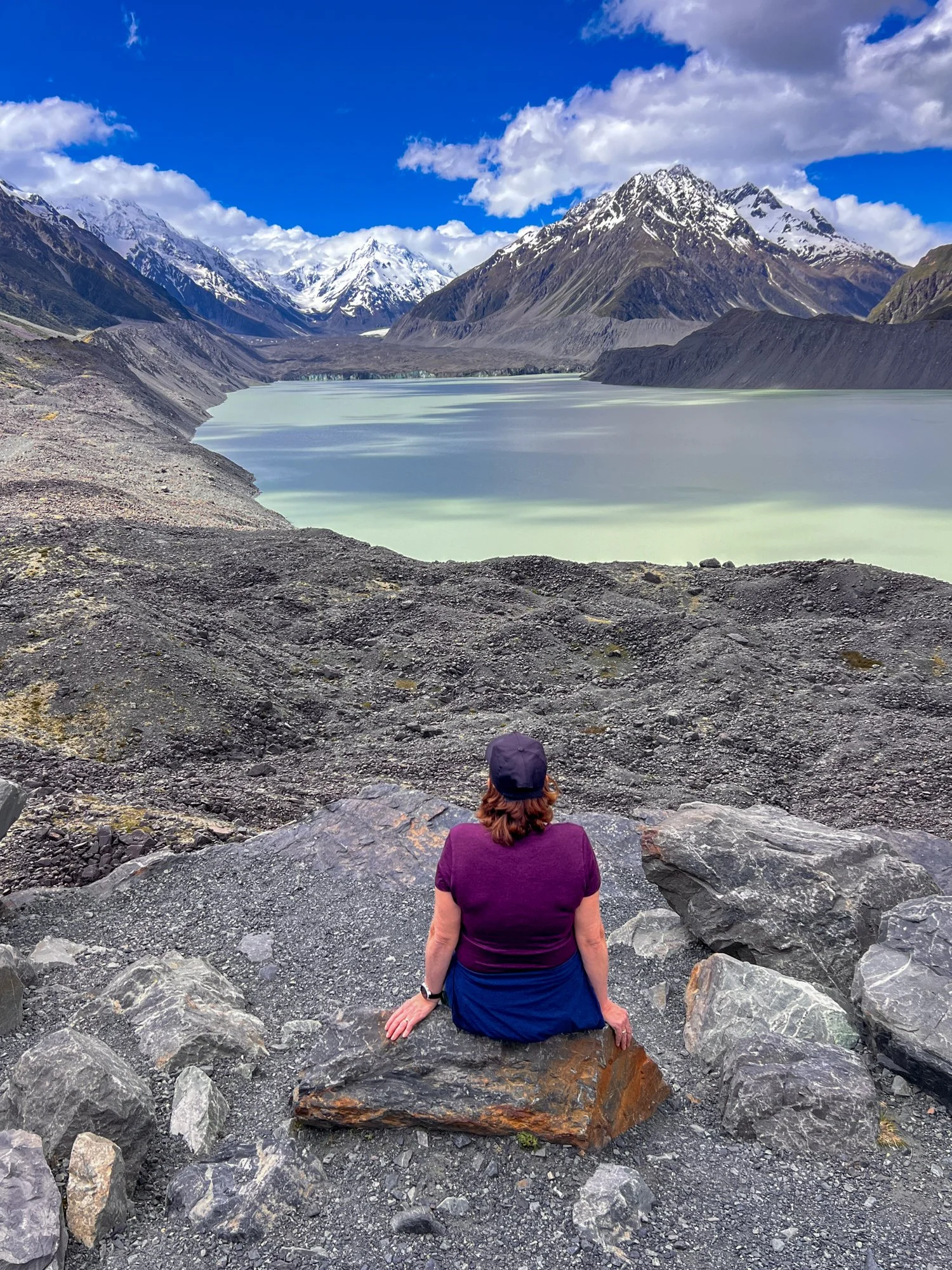
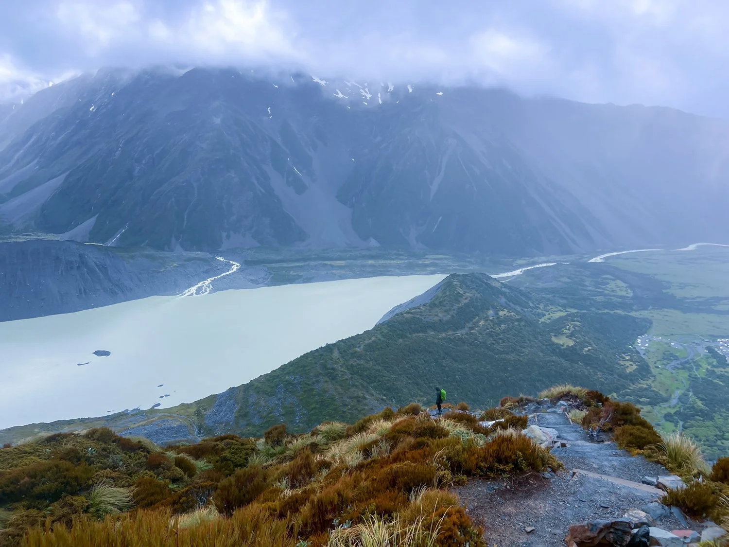
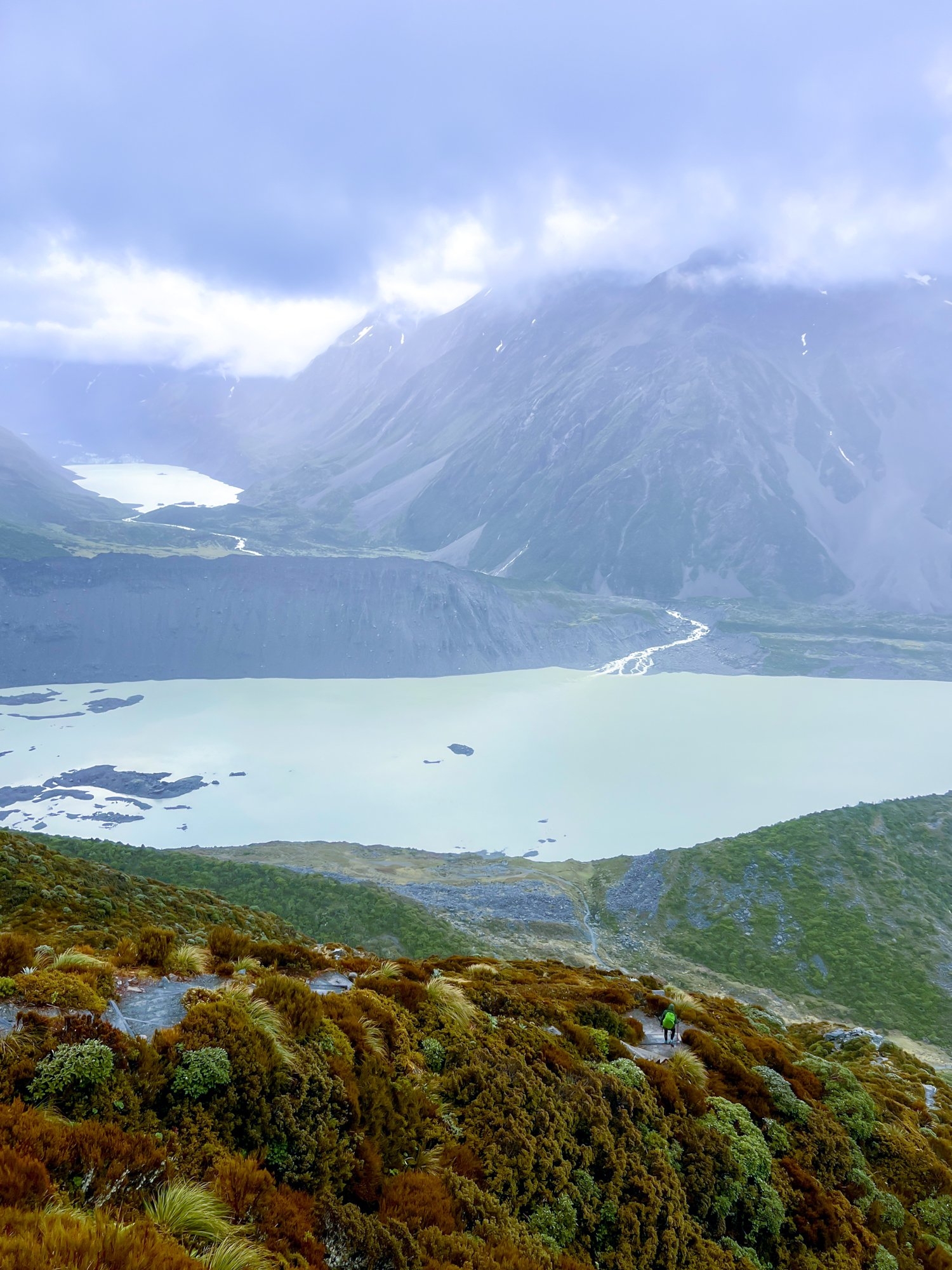
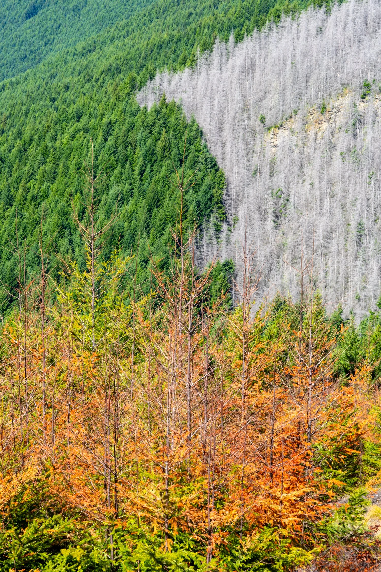
That afternoon we visited the Tasman Glacier View Track, which overlooks the impressive Tasman Glacier. At 27 kilometres long, it’s New Zealand’s largest glacier, a slow-moving river of ice carved over thousands of years. The glacier has been steadily retreating in recent decades, leaving behind the milky-blue Tasman Lake, dotted with floating icebergs.
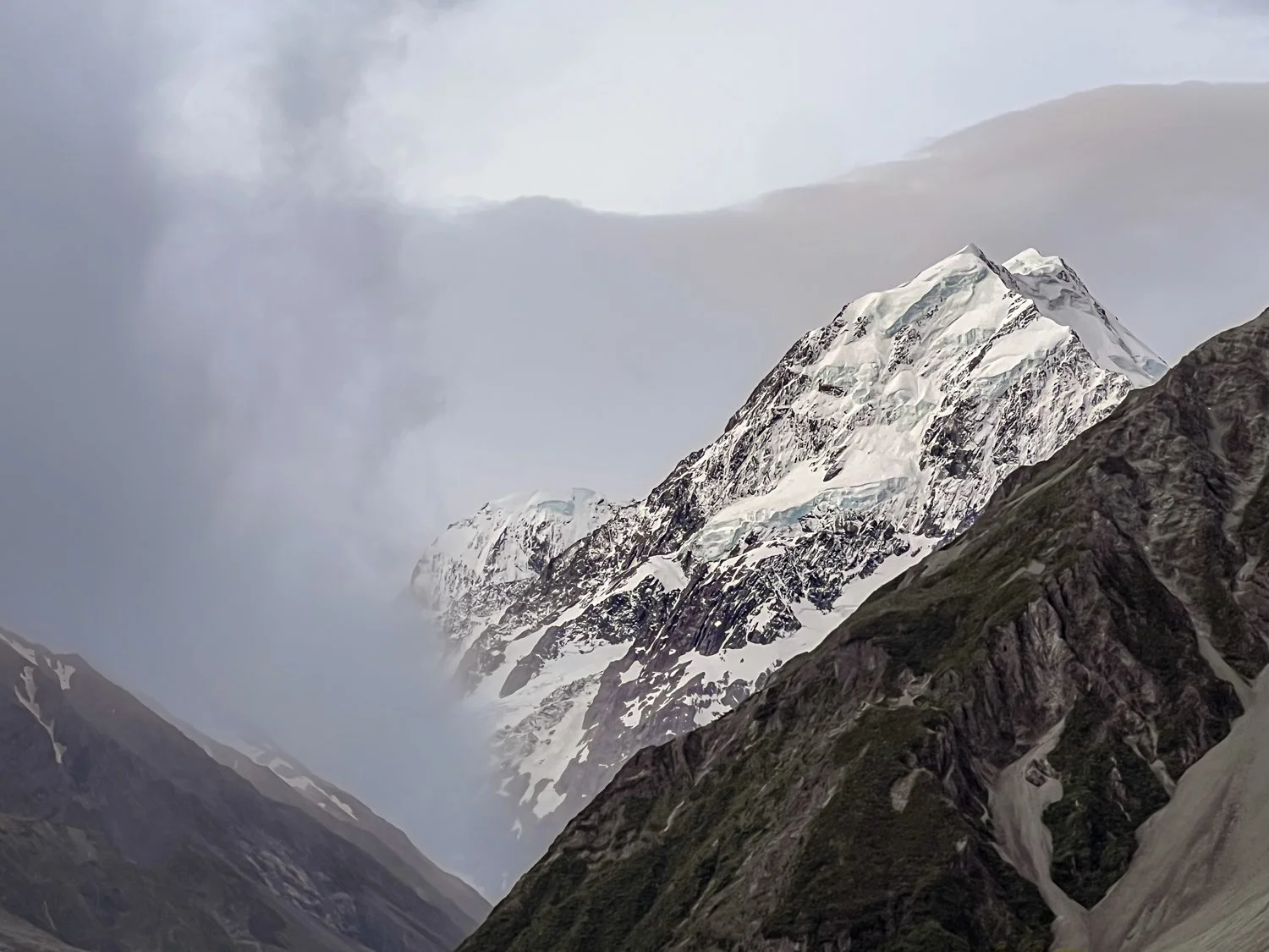
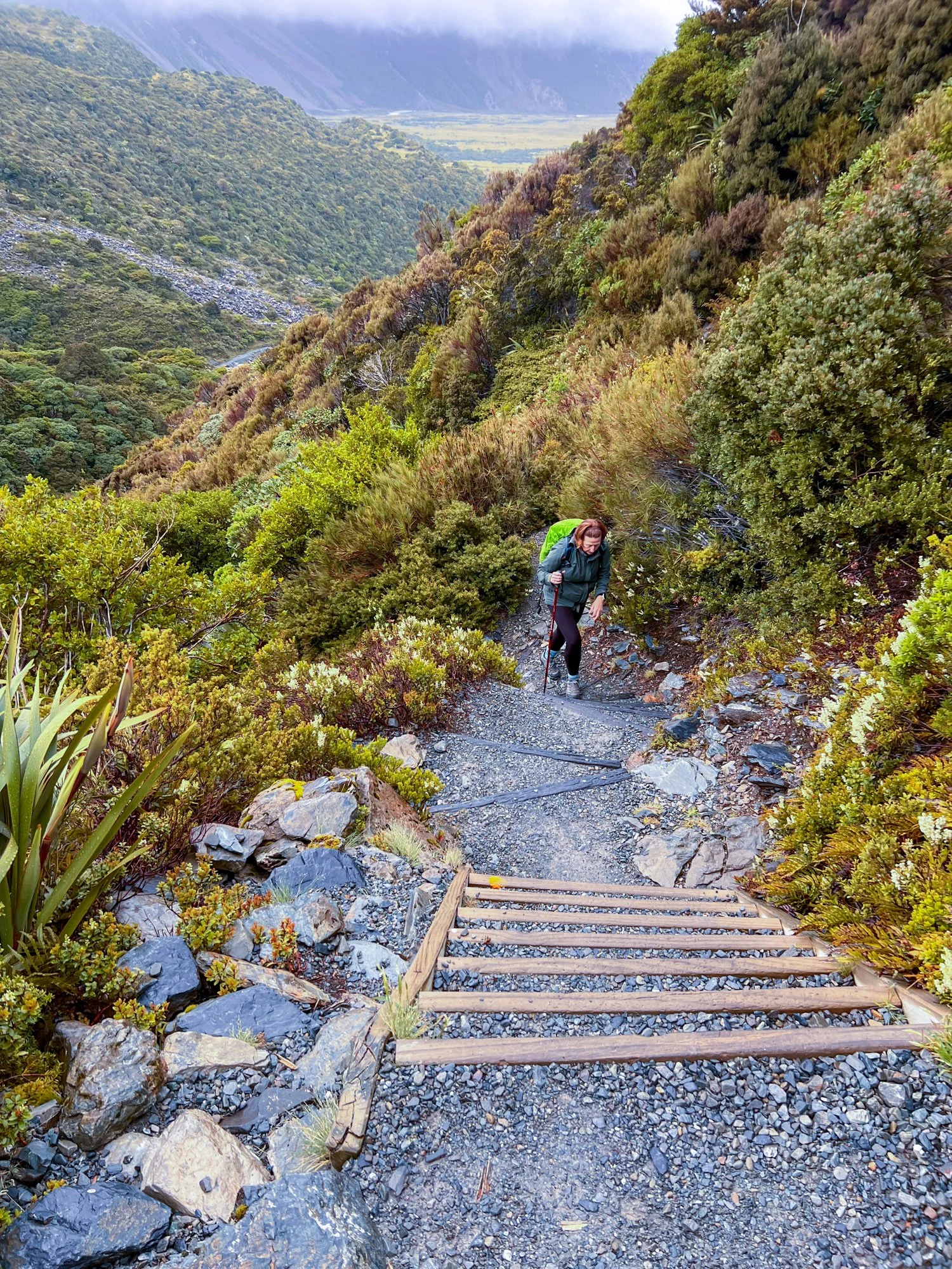
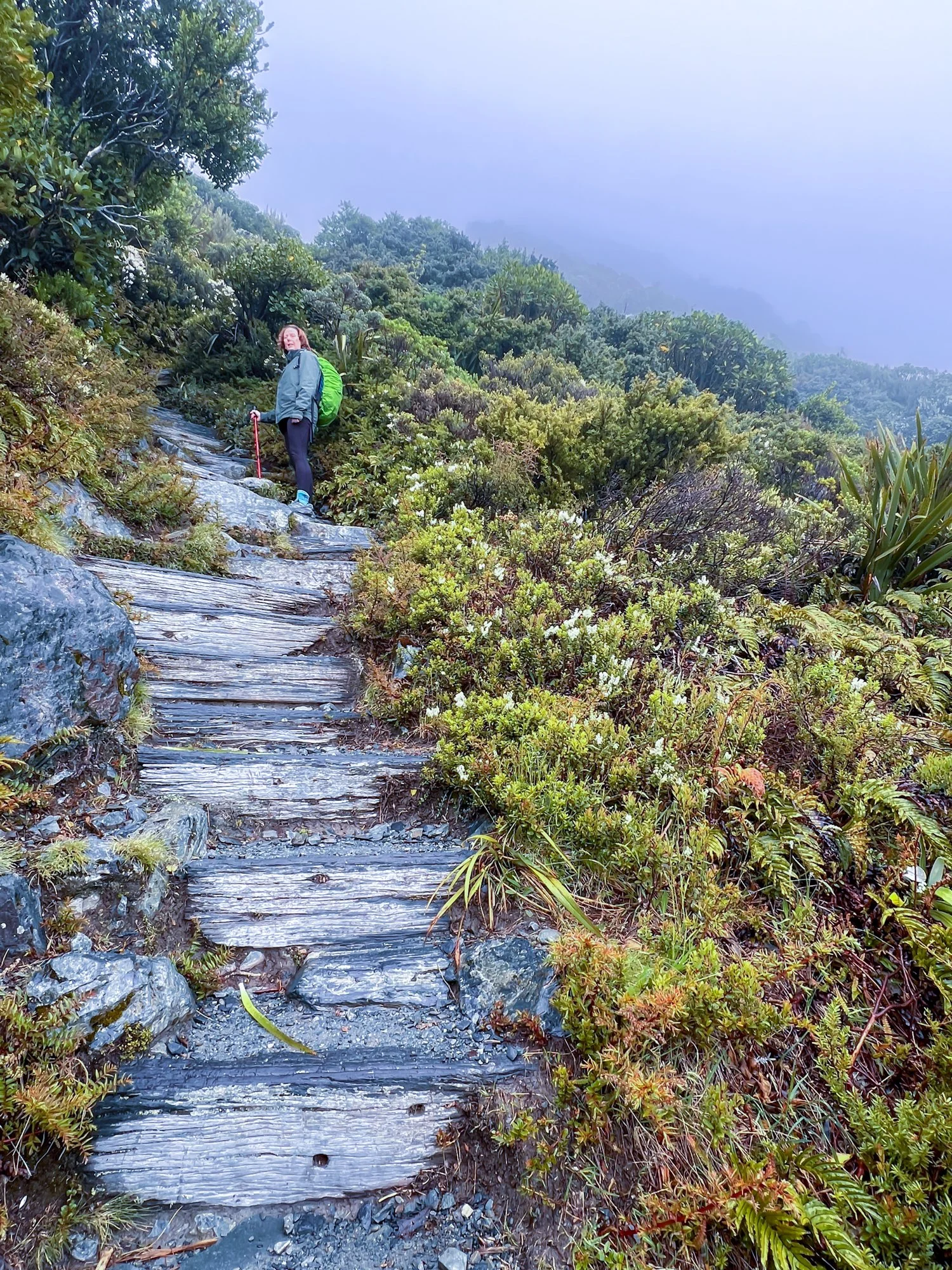
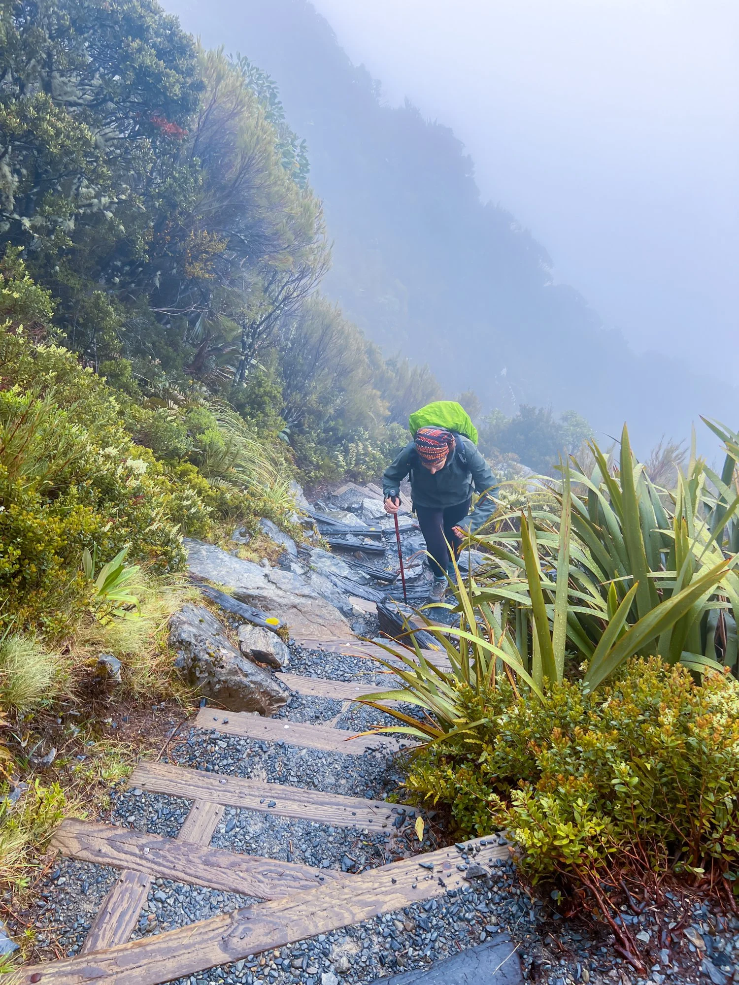
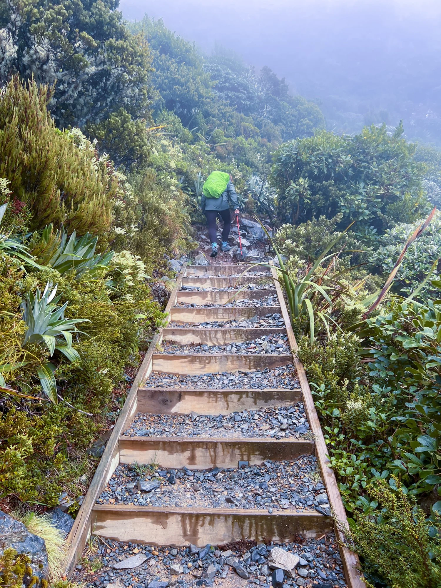
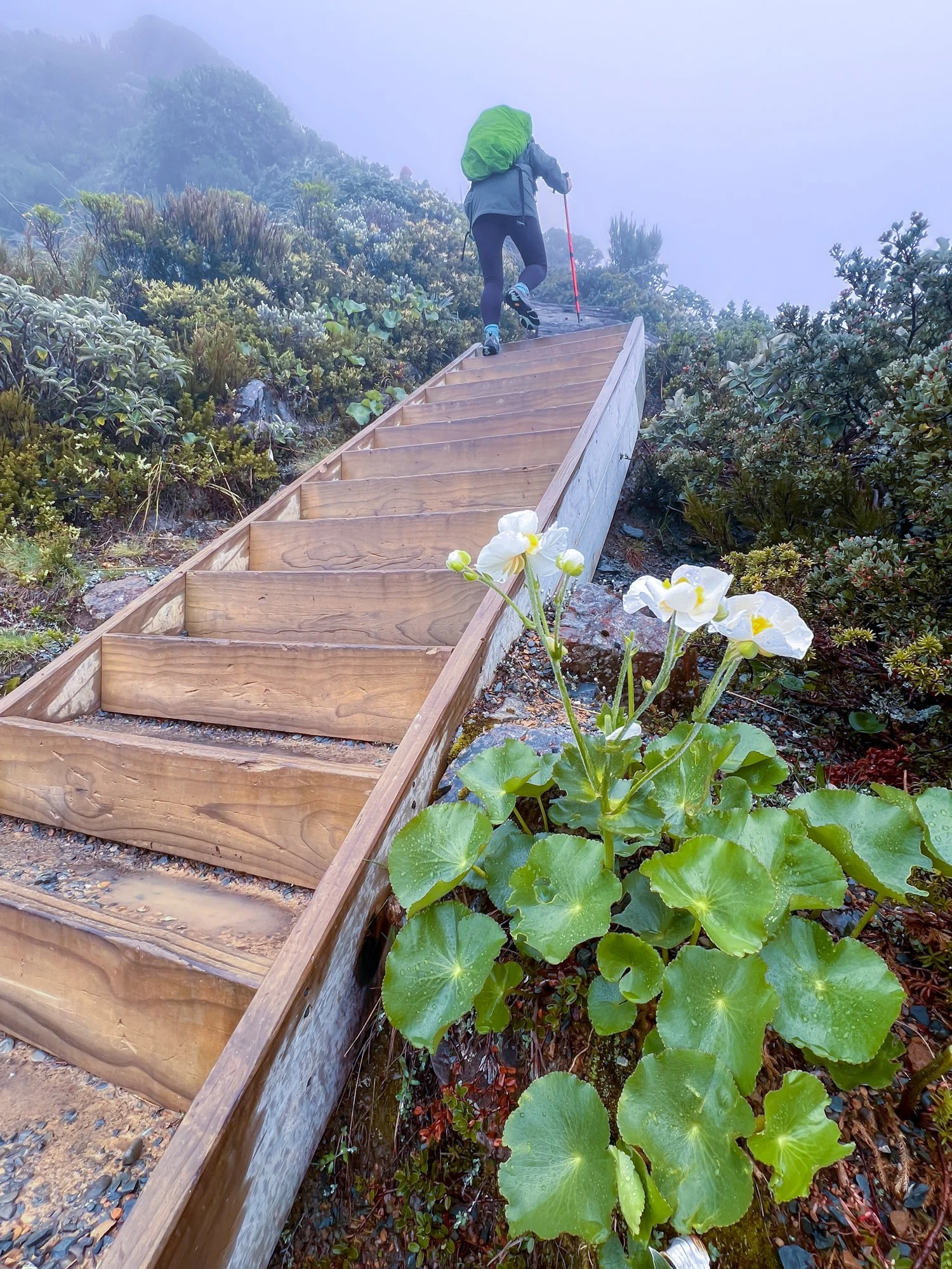
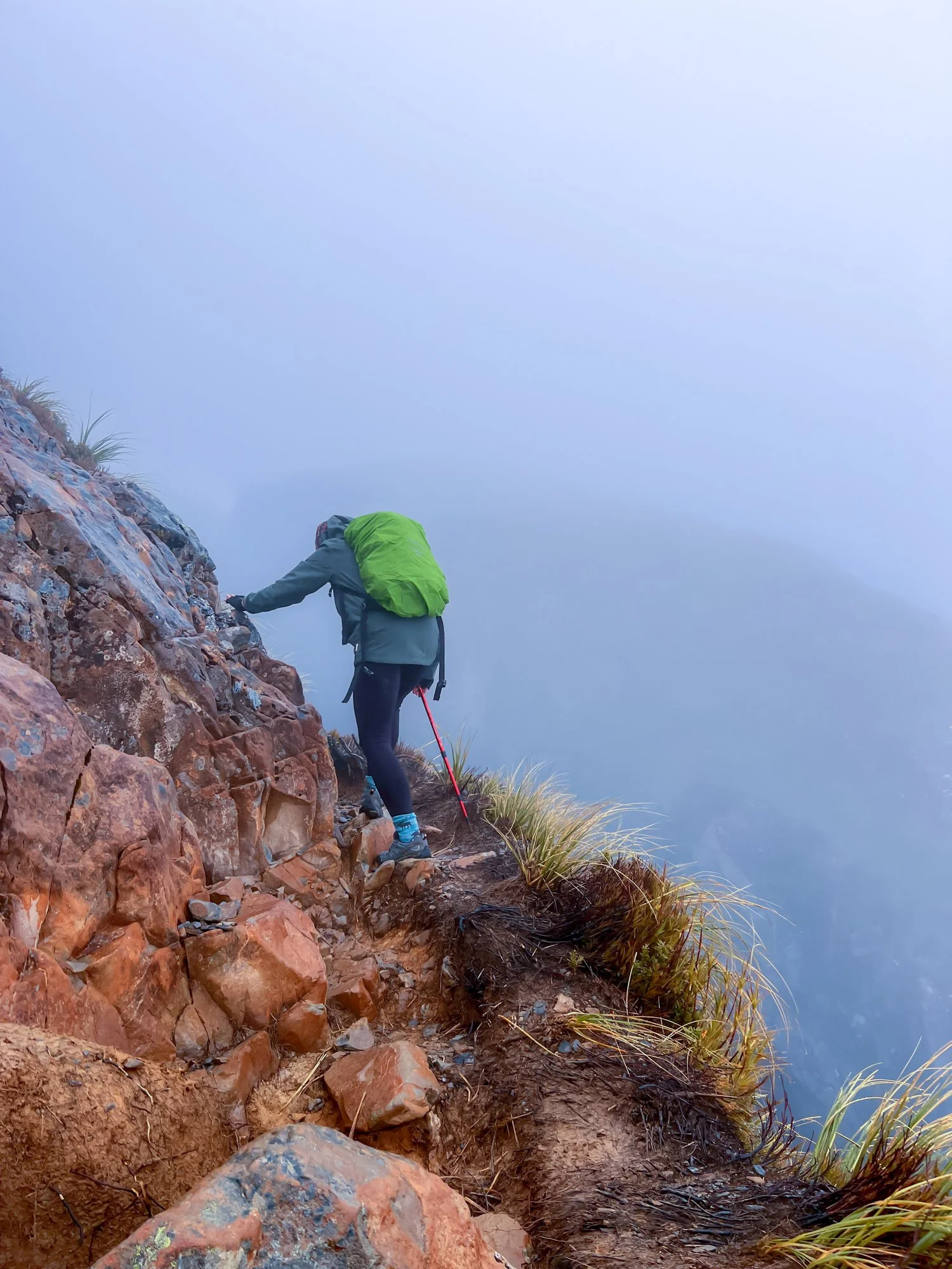
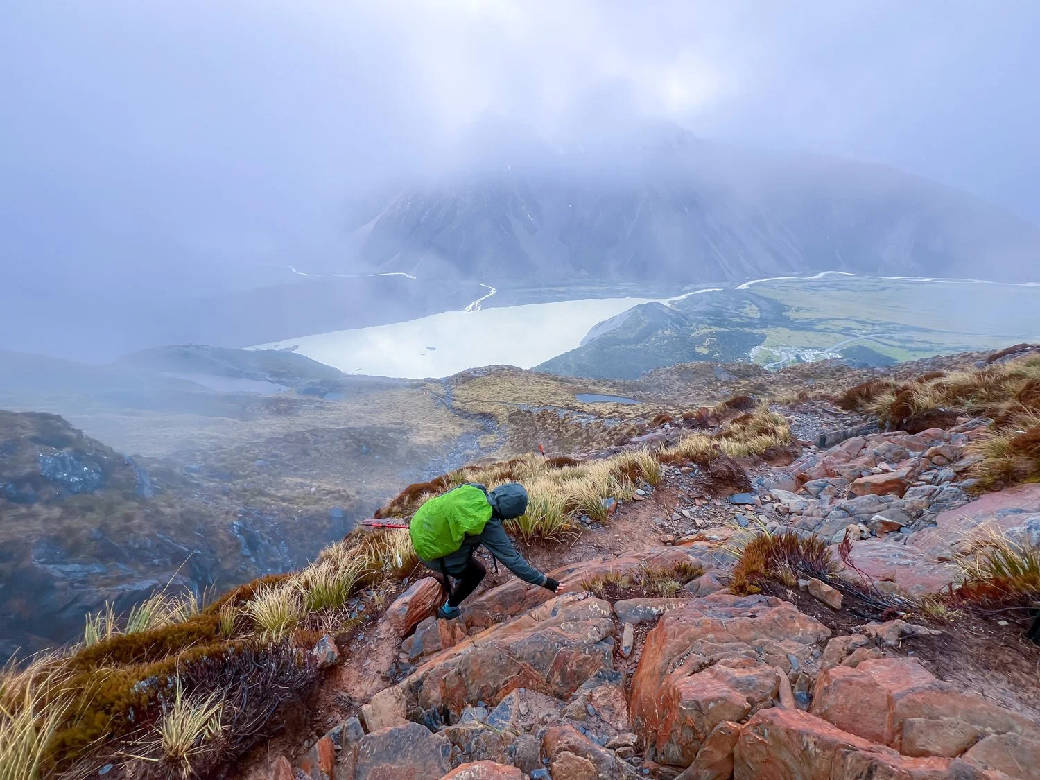
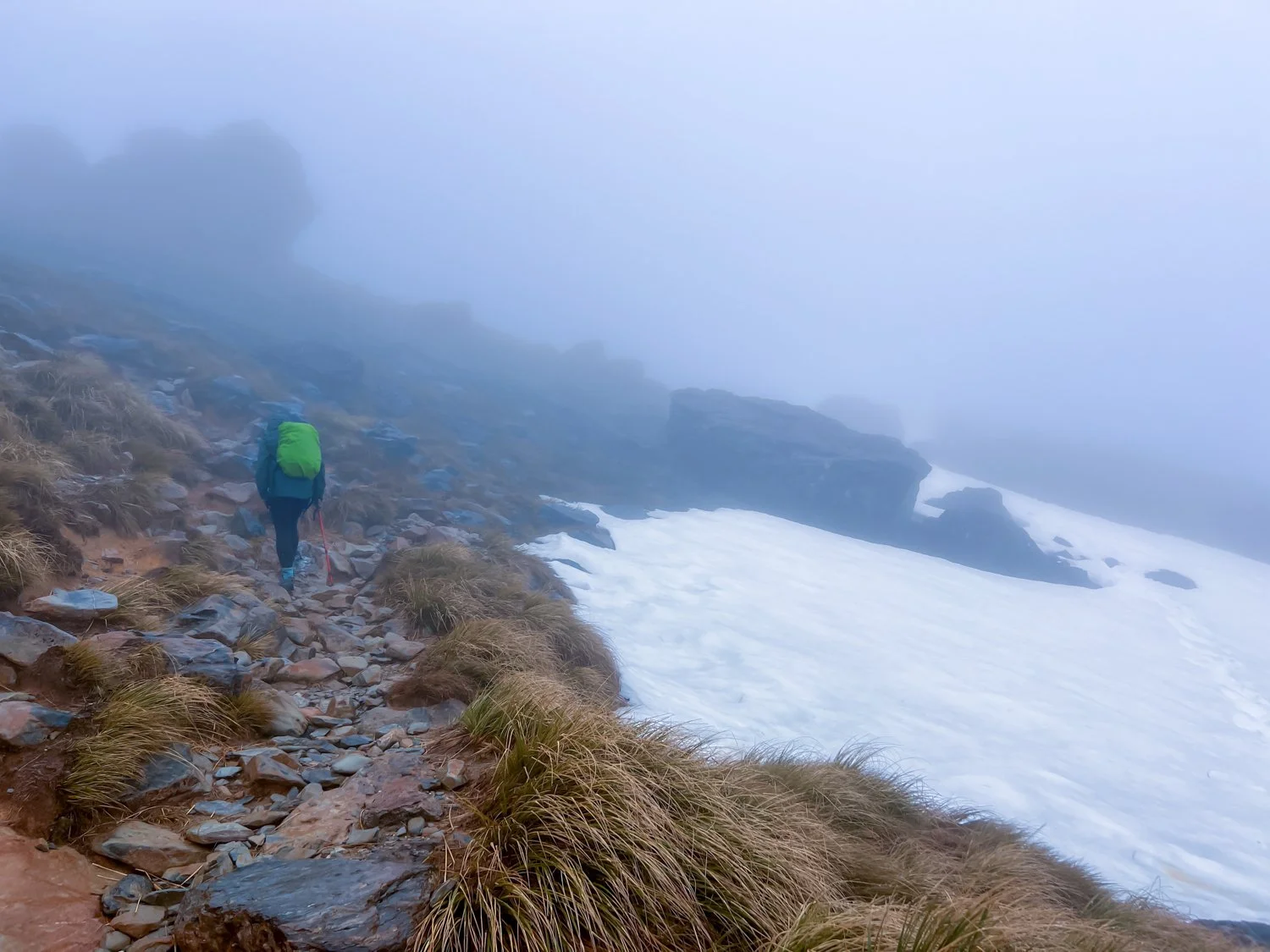
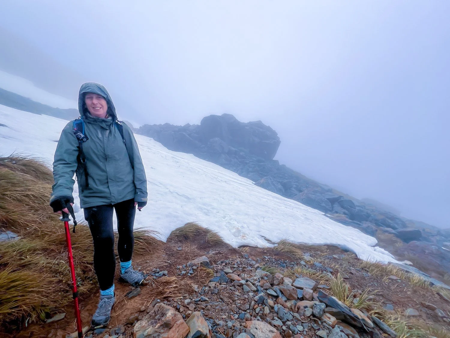
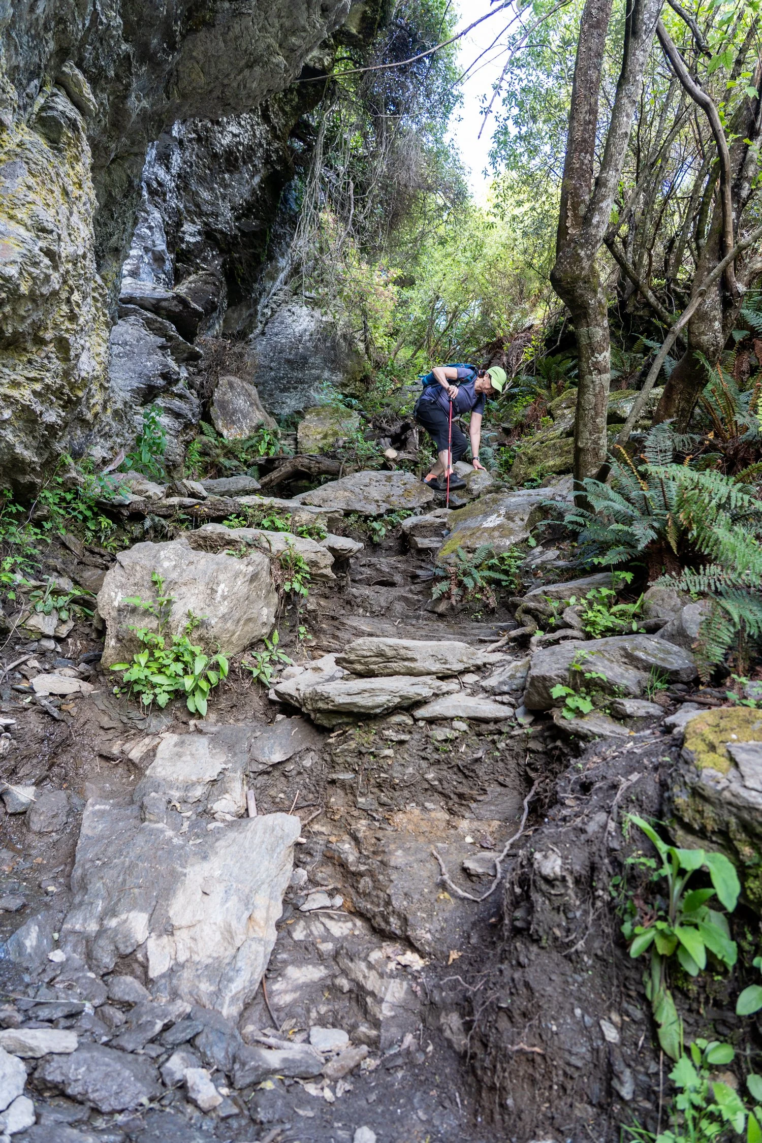
Day four tested our optimism. The Mueller Hut Route greeted us with 2,200 stairs before the real climbing even began. Above the stairs, the trail turned into steep scree slopes and slippery rock. Fog rolled in, rain followed, and the visibility slowly shrank until the surrounding mountains simply vanished. Somewhere up there was Mueller Hut, but after a while we conceded defeat. Turning around was the sensible option. Of course, turning around also meant descending every single stair we had just climbed. It was exhausting and oddly satisfying — classic “type two fun”, the kind that only becomes enjoyable once it’s over.

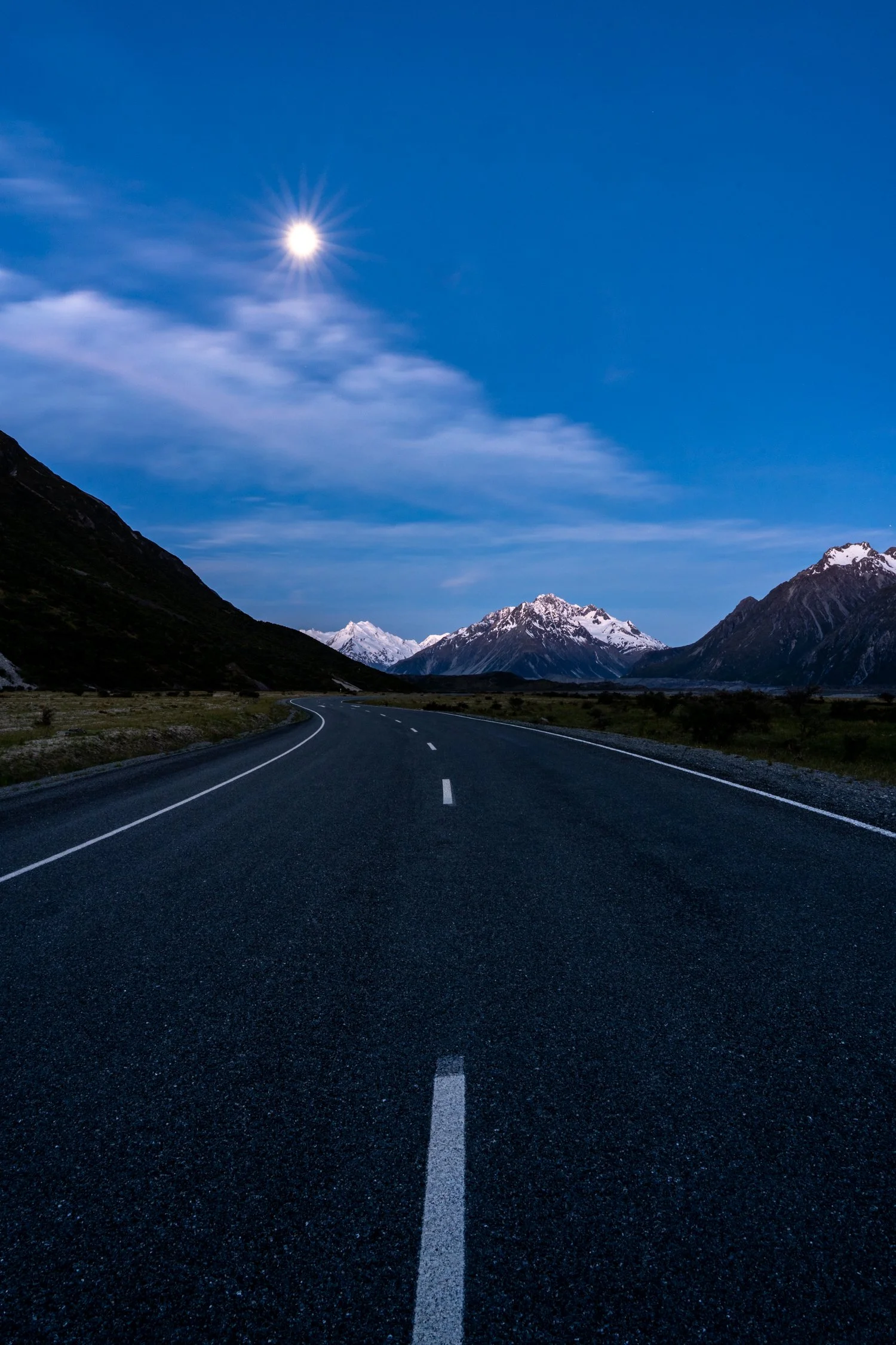
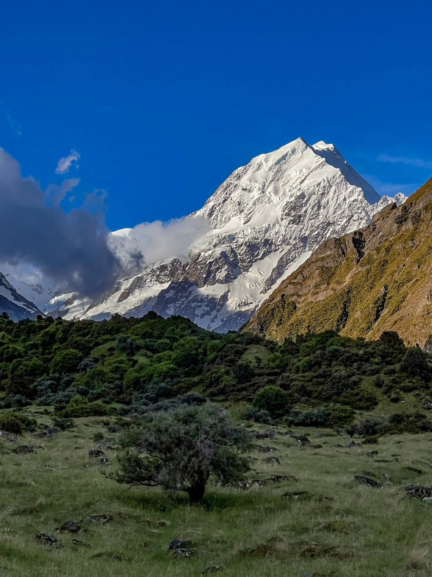
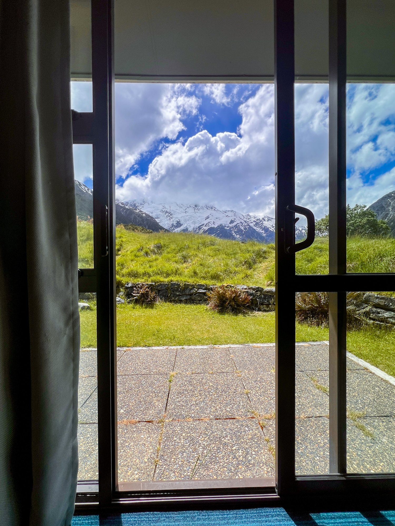
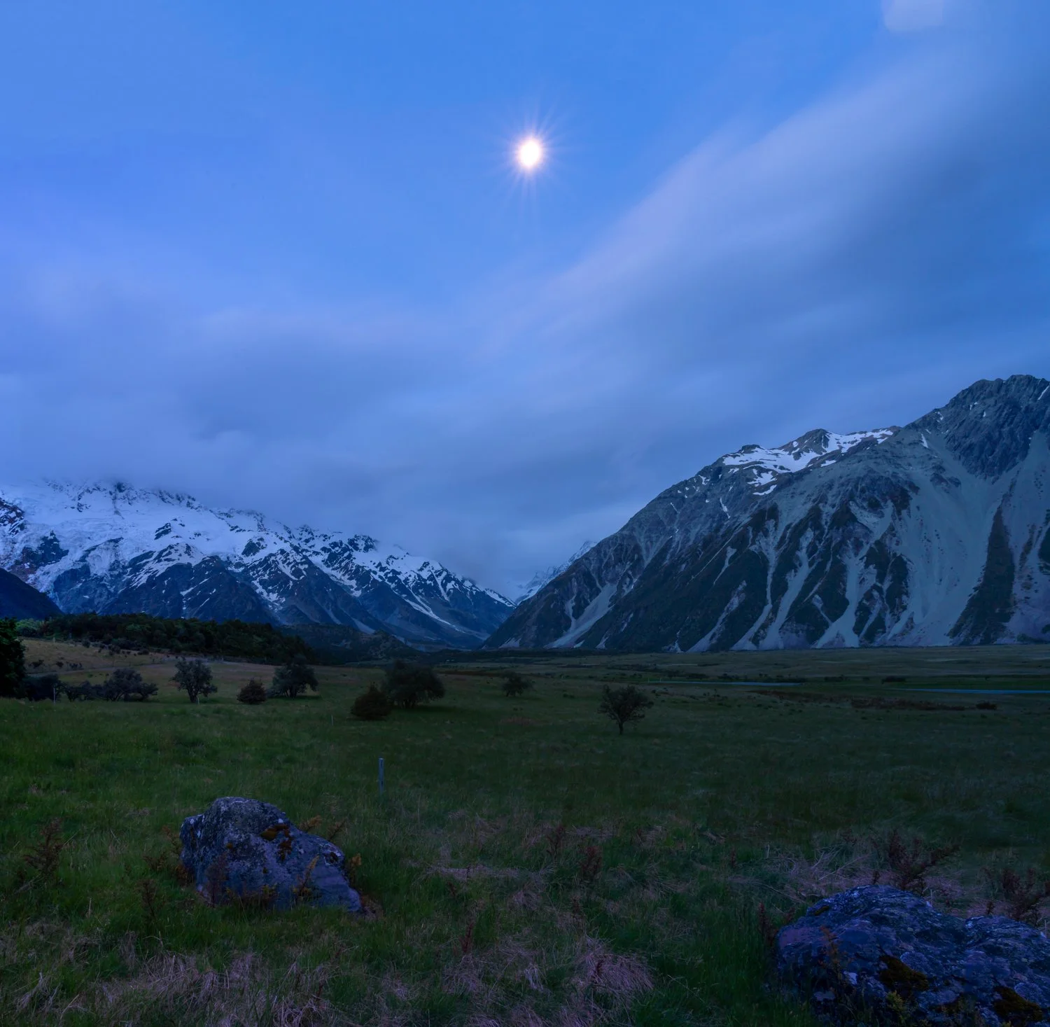
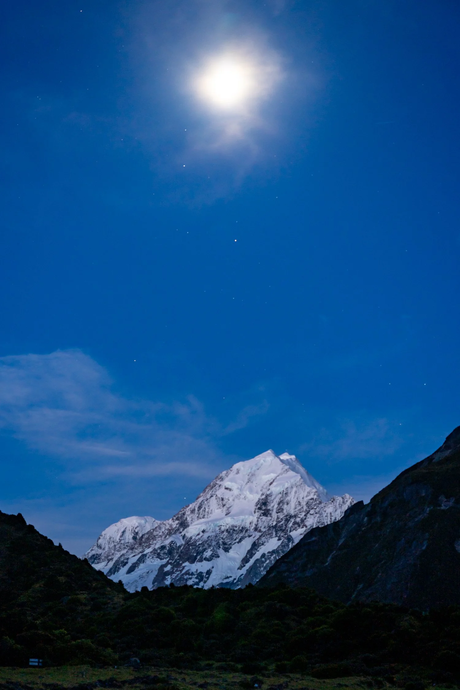
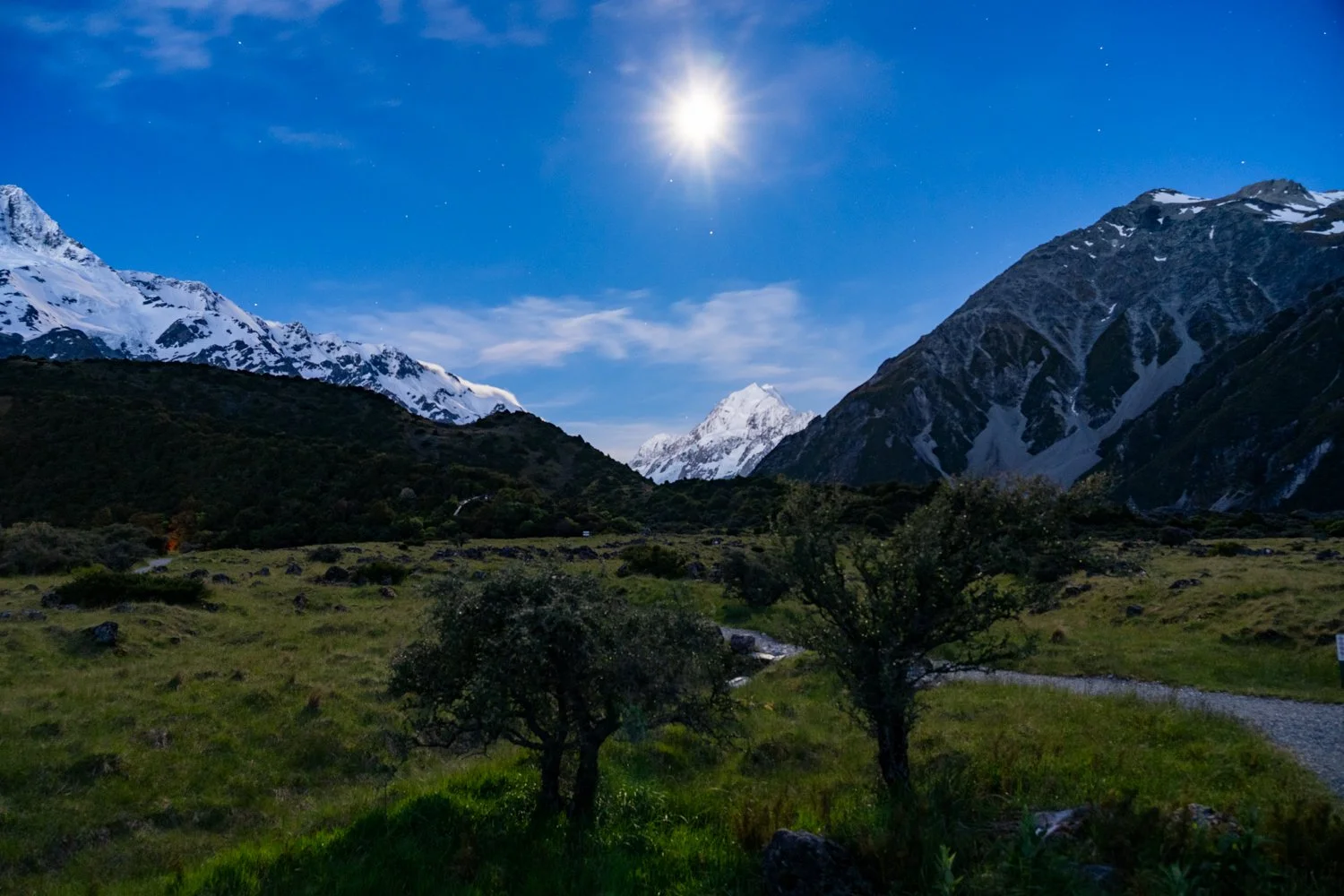
As evening settled over Mount Cook the mountains slowly shifted from bright alpine theatre to something quieter and more atmospheric. A perfect opportunity to leave the warmth of the hotel room to watch the last orange glow over the mountains. Photographing the moon rising over the peak required a little more patience and a lot of hope that the clouds would behave. Slowly, almost shyly, the moon edged its way above the jagged ridgeline, casting a soft blue glow across the snow capped mountain. The light was subtle but magical, the kind that photographers chase but can never quite plan.
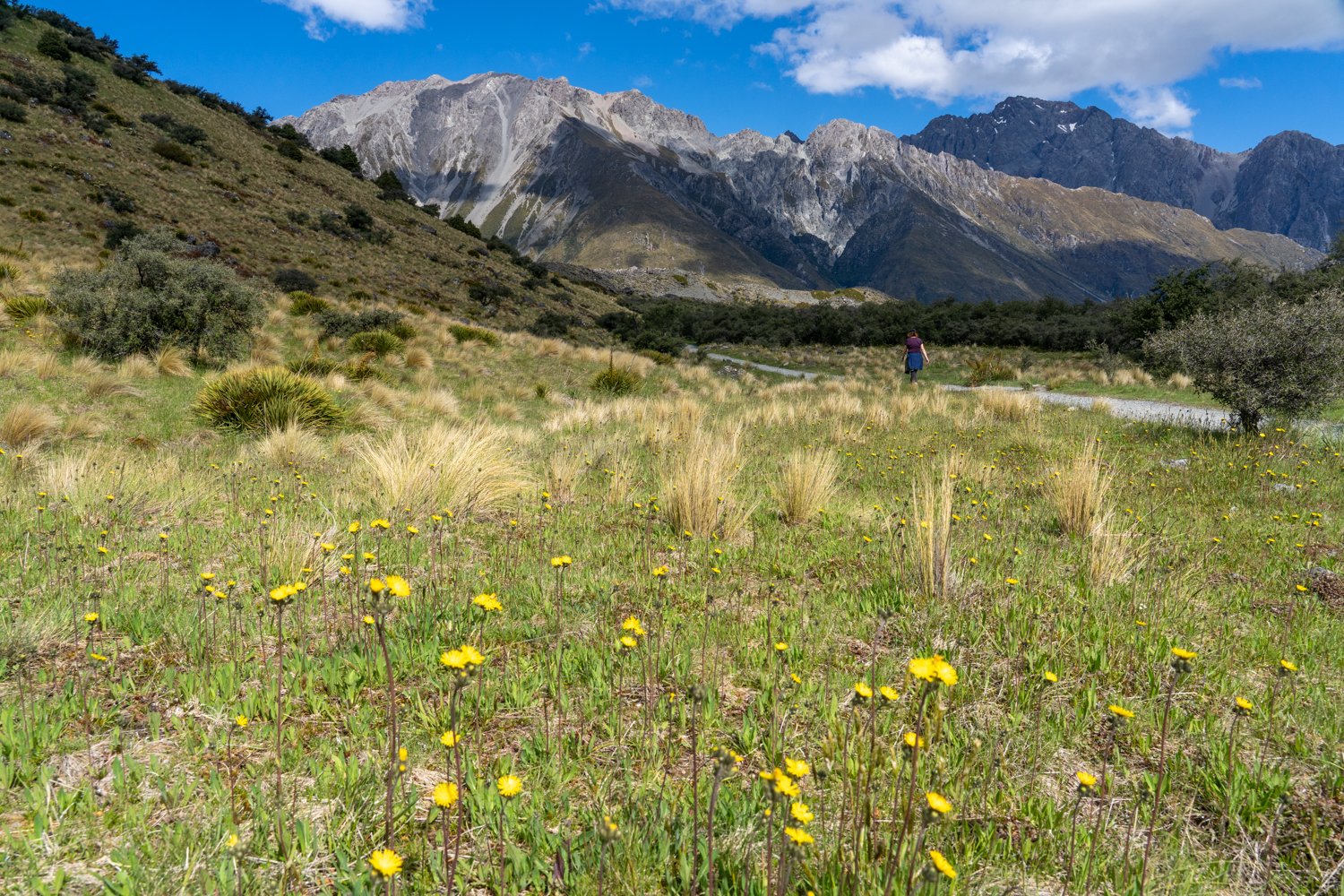
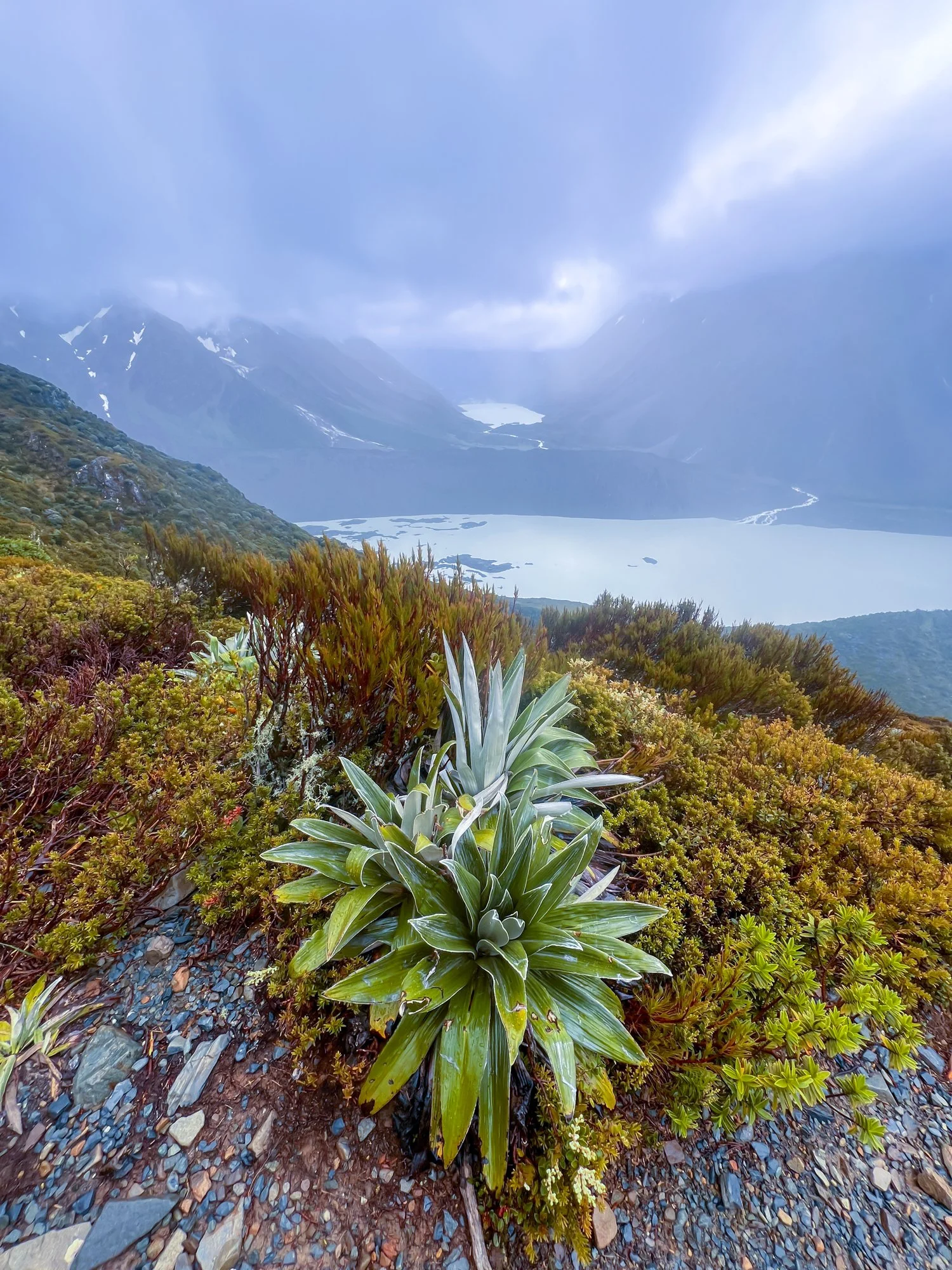
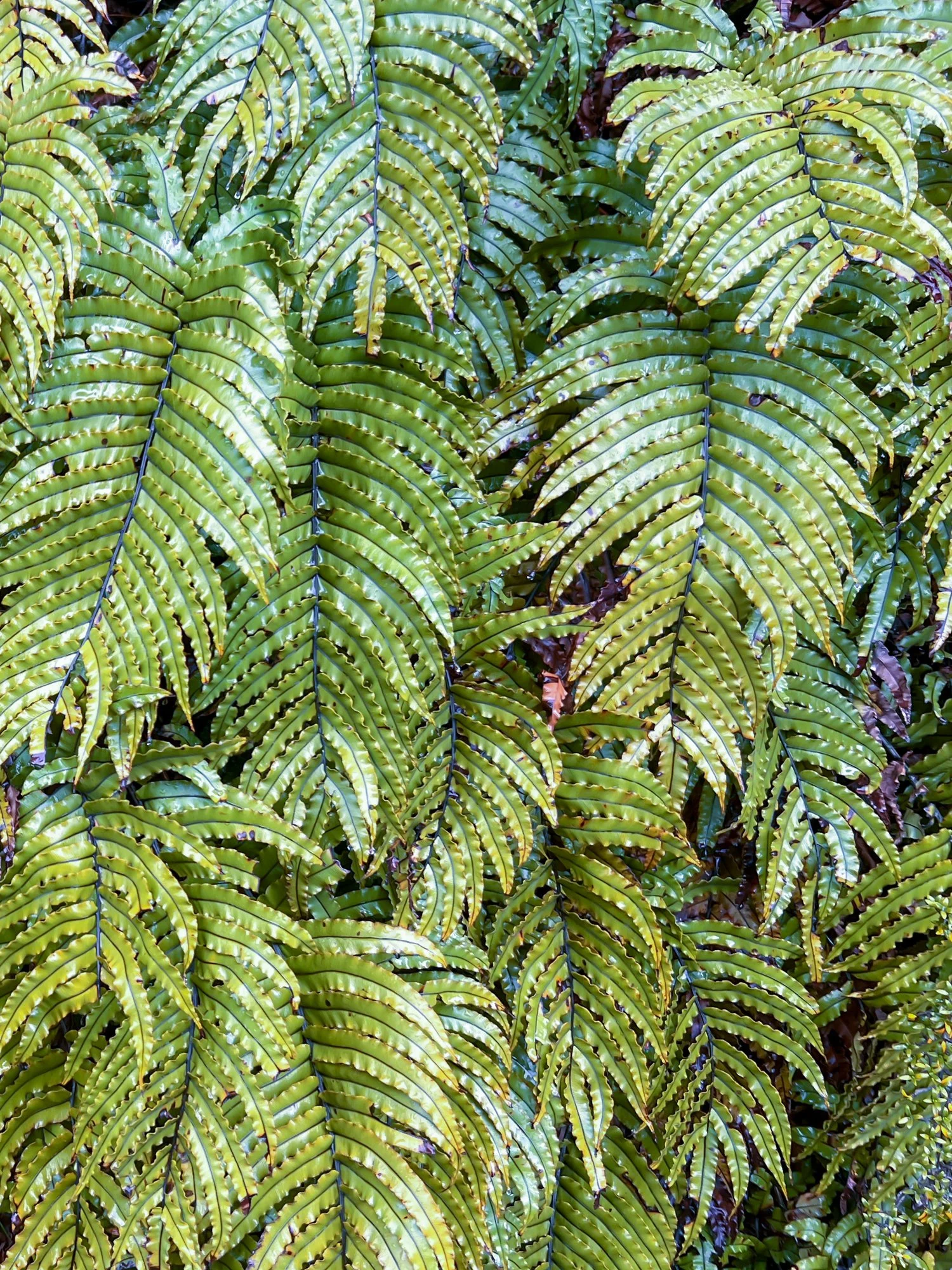
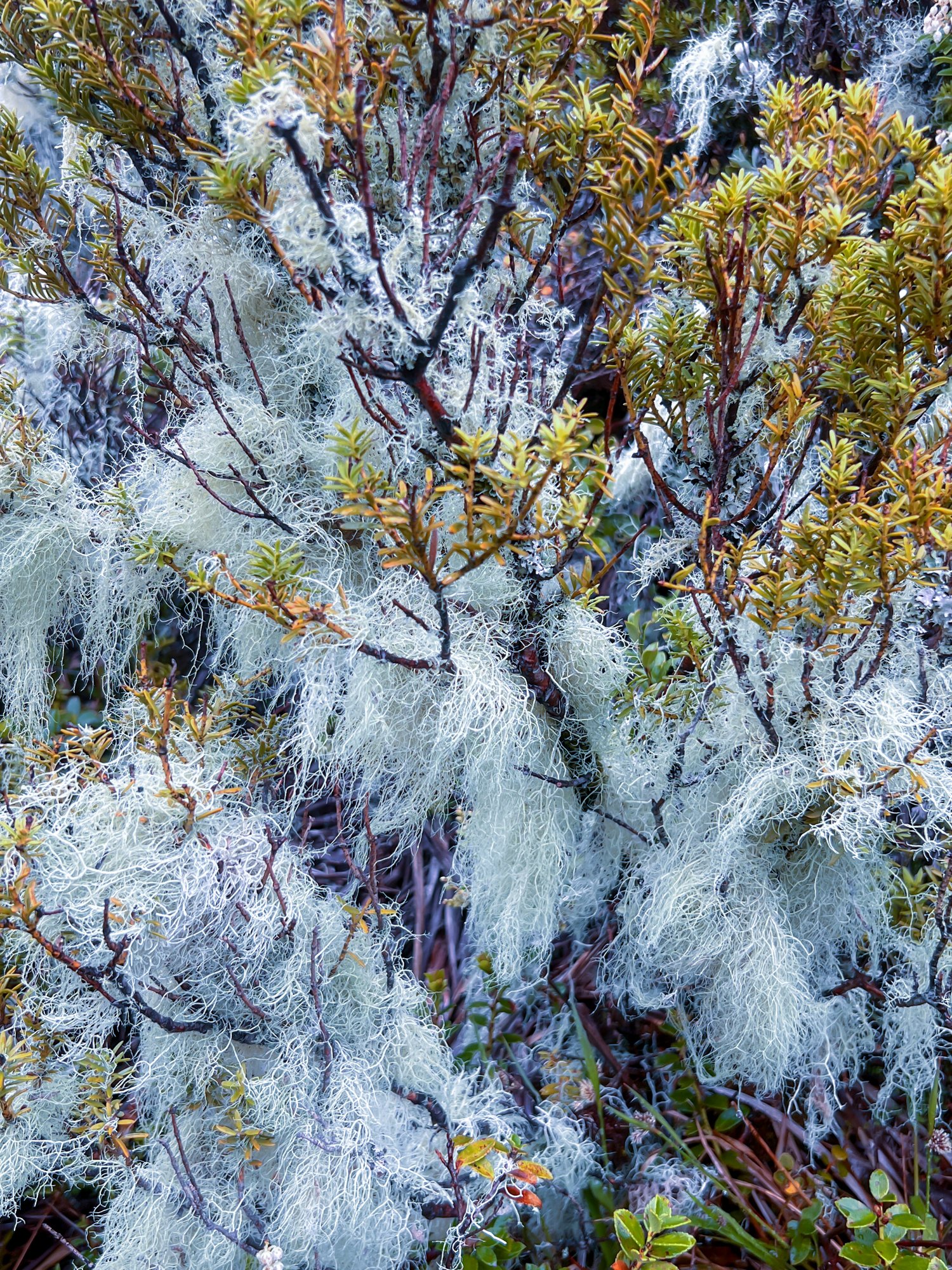
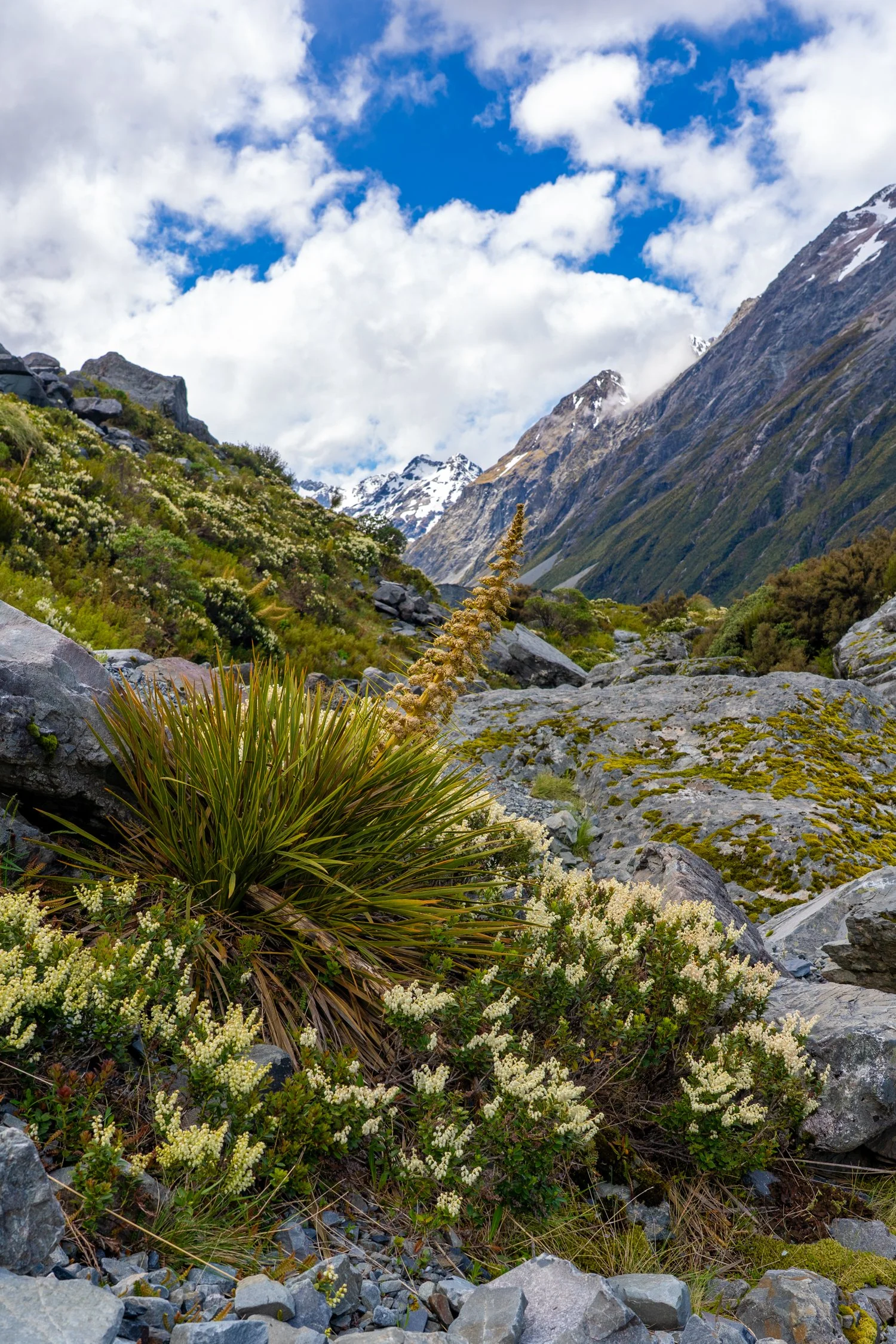
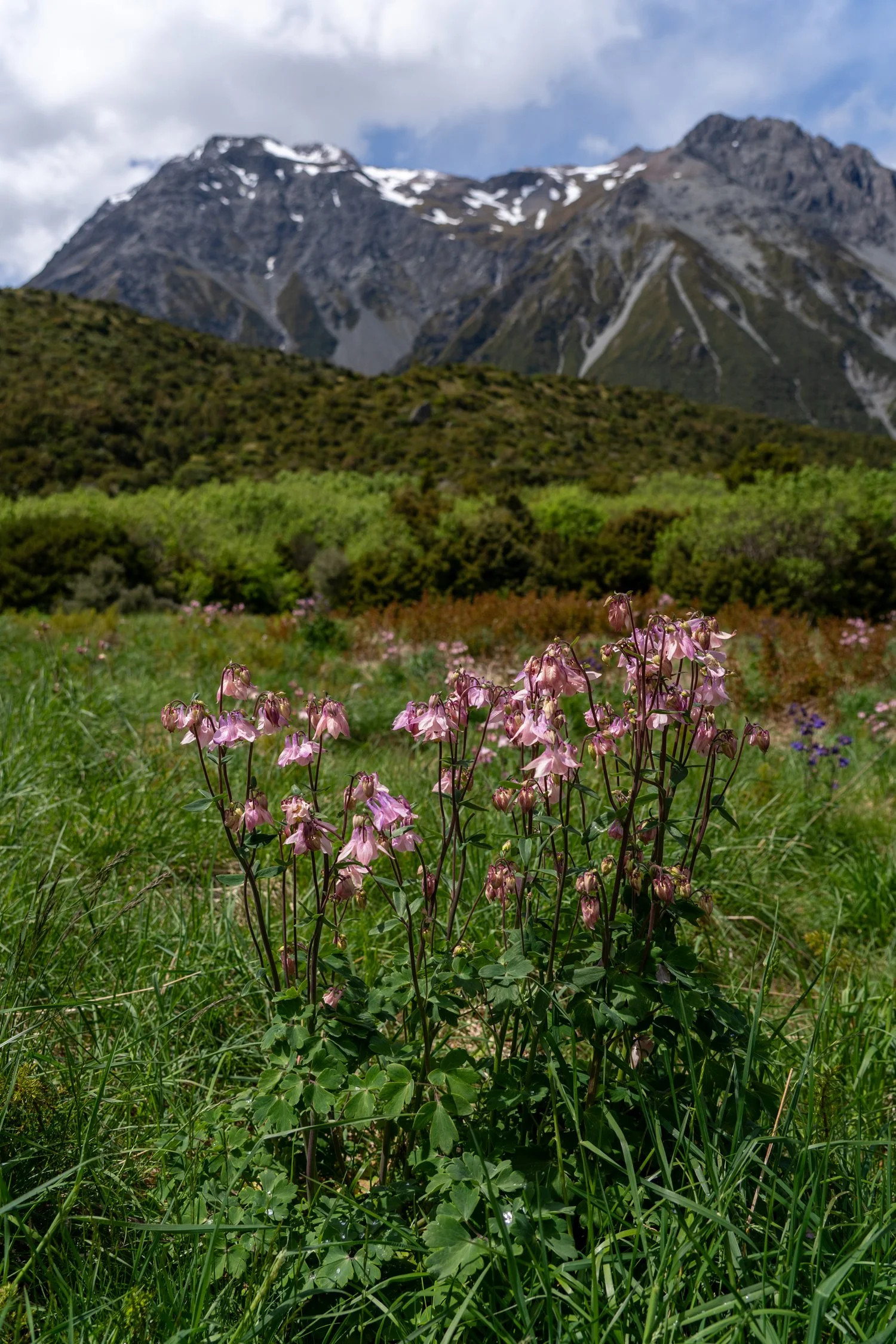
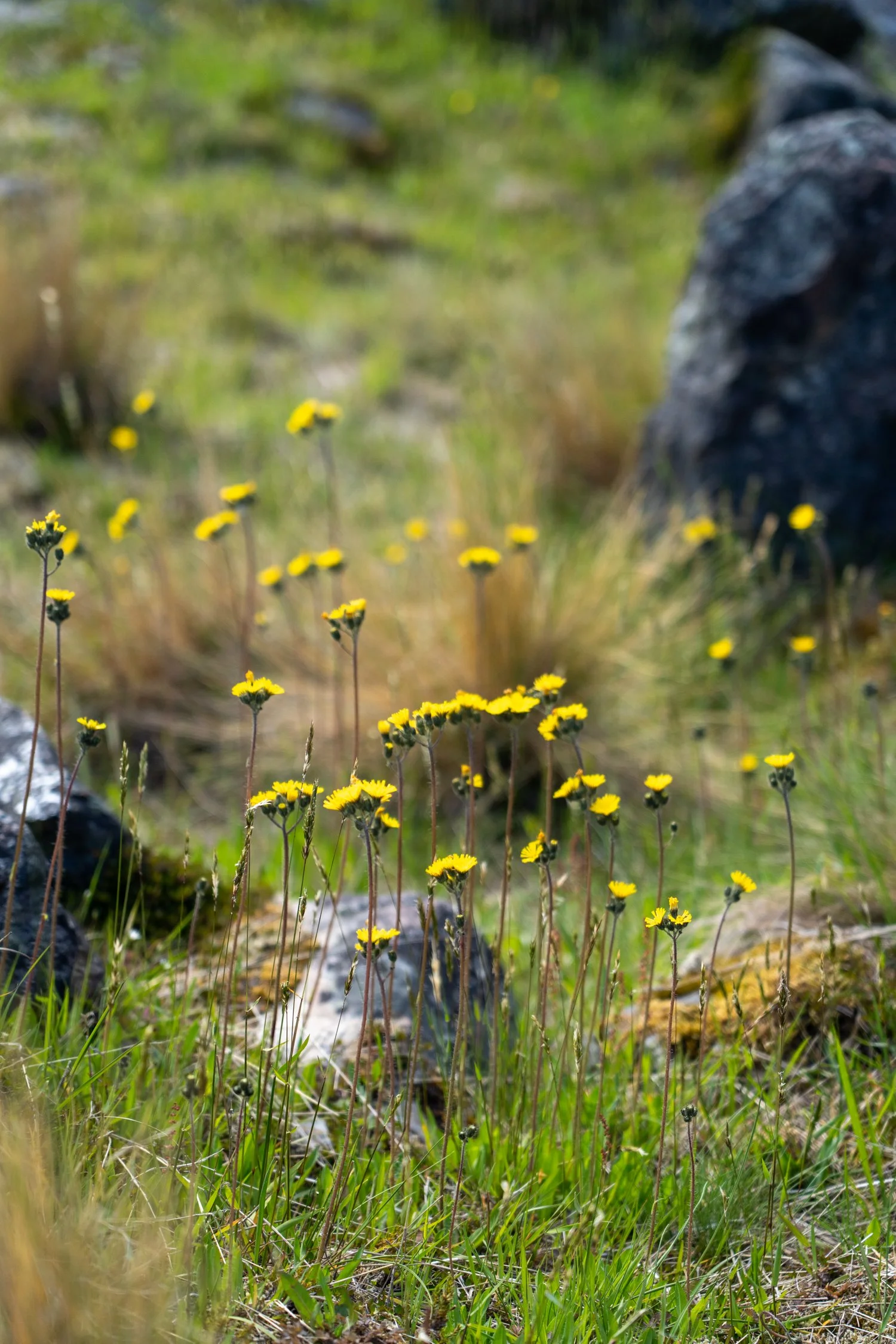
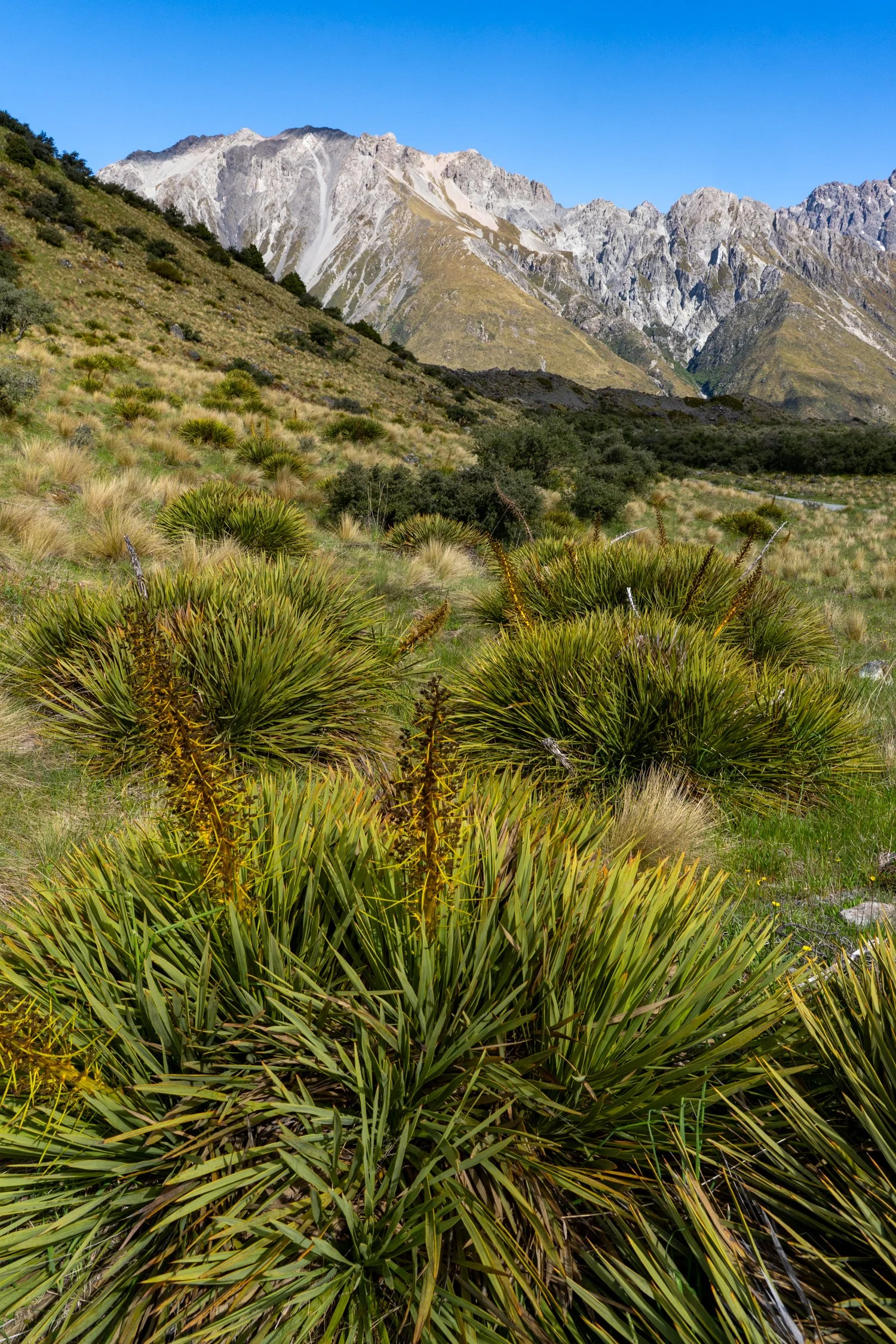
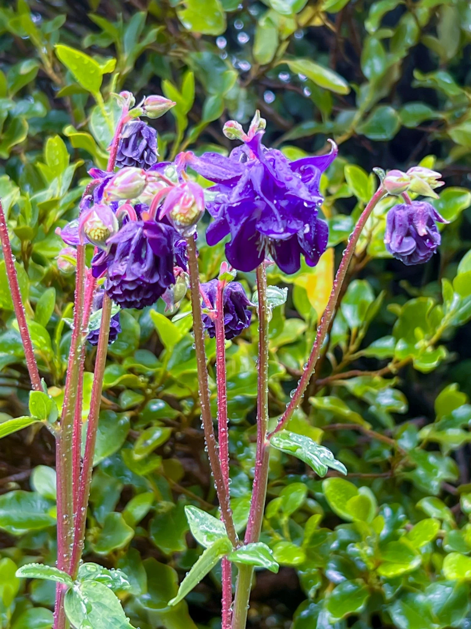
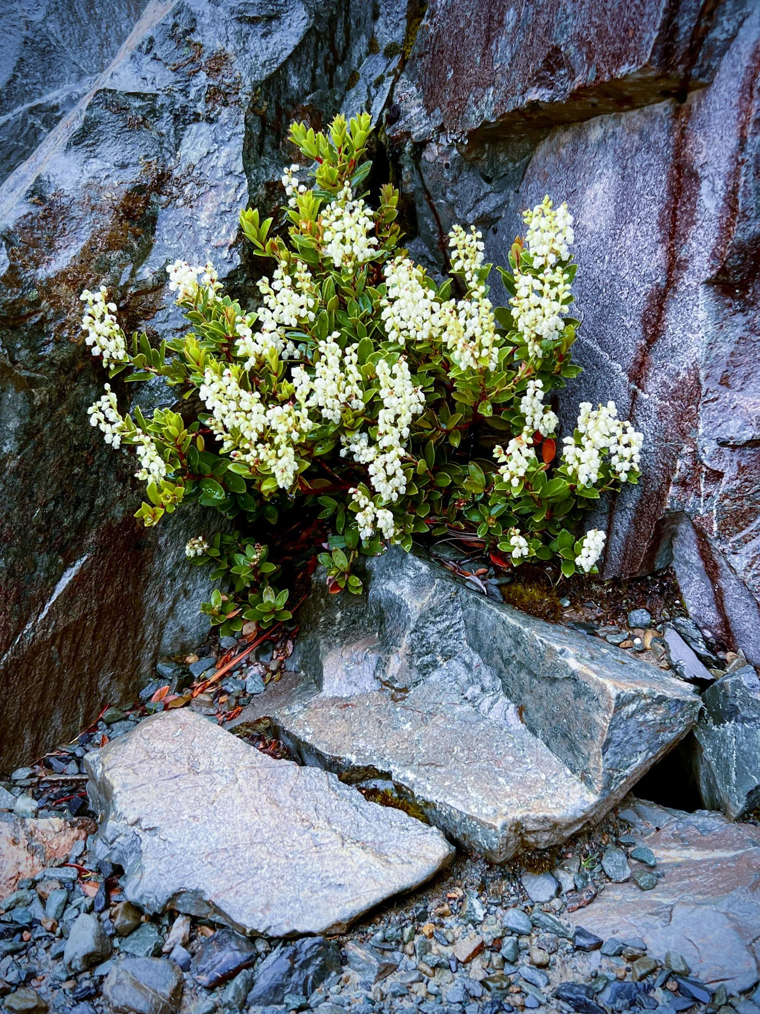
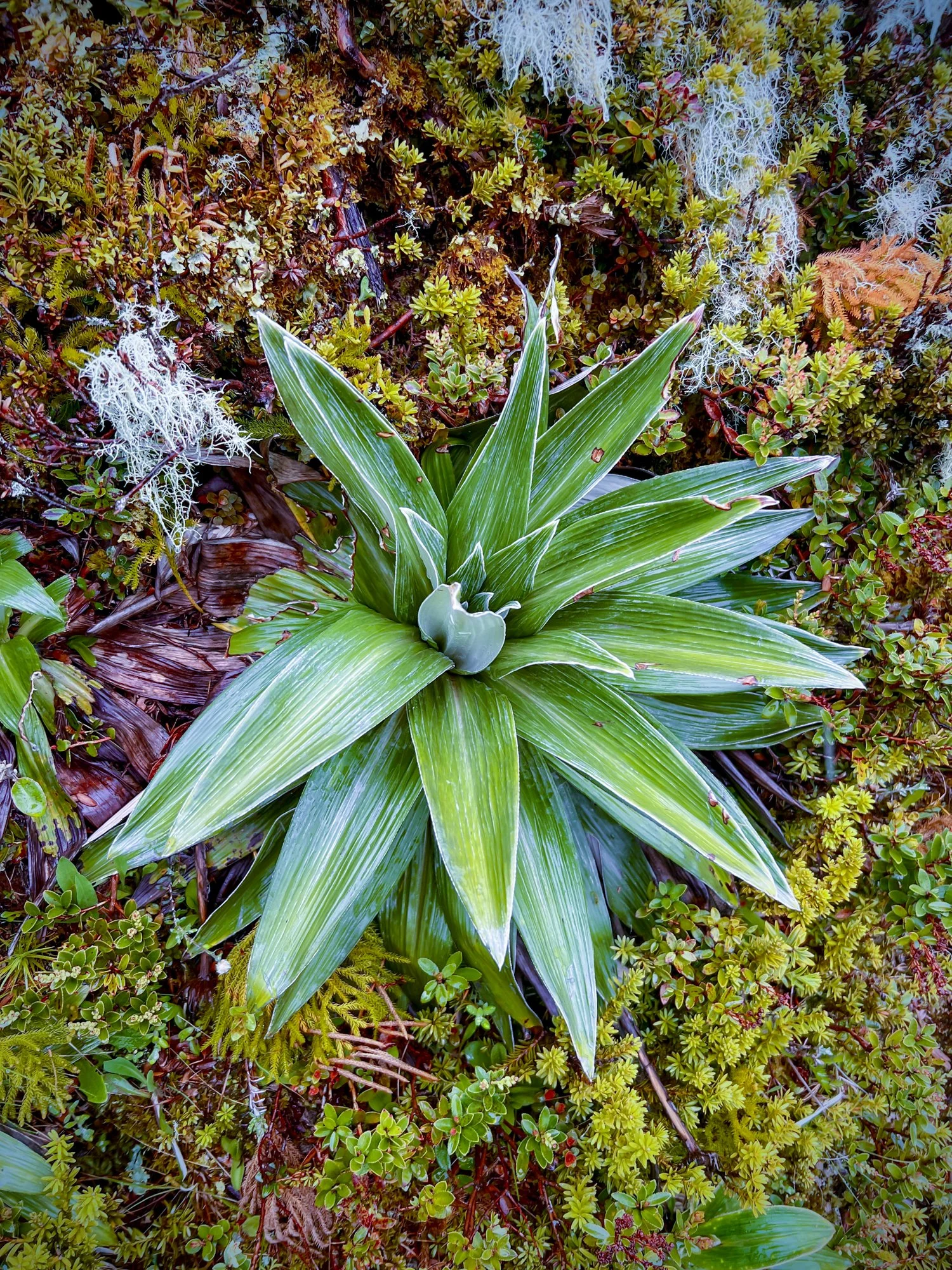
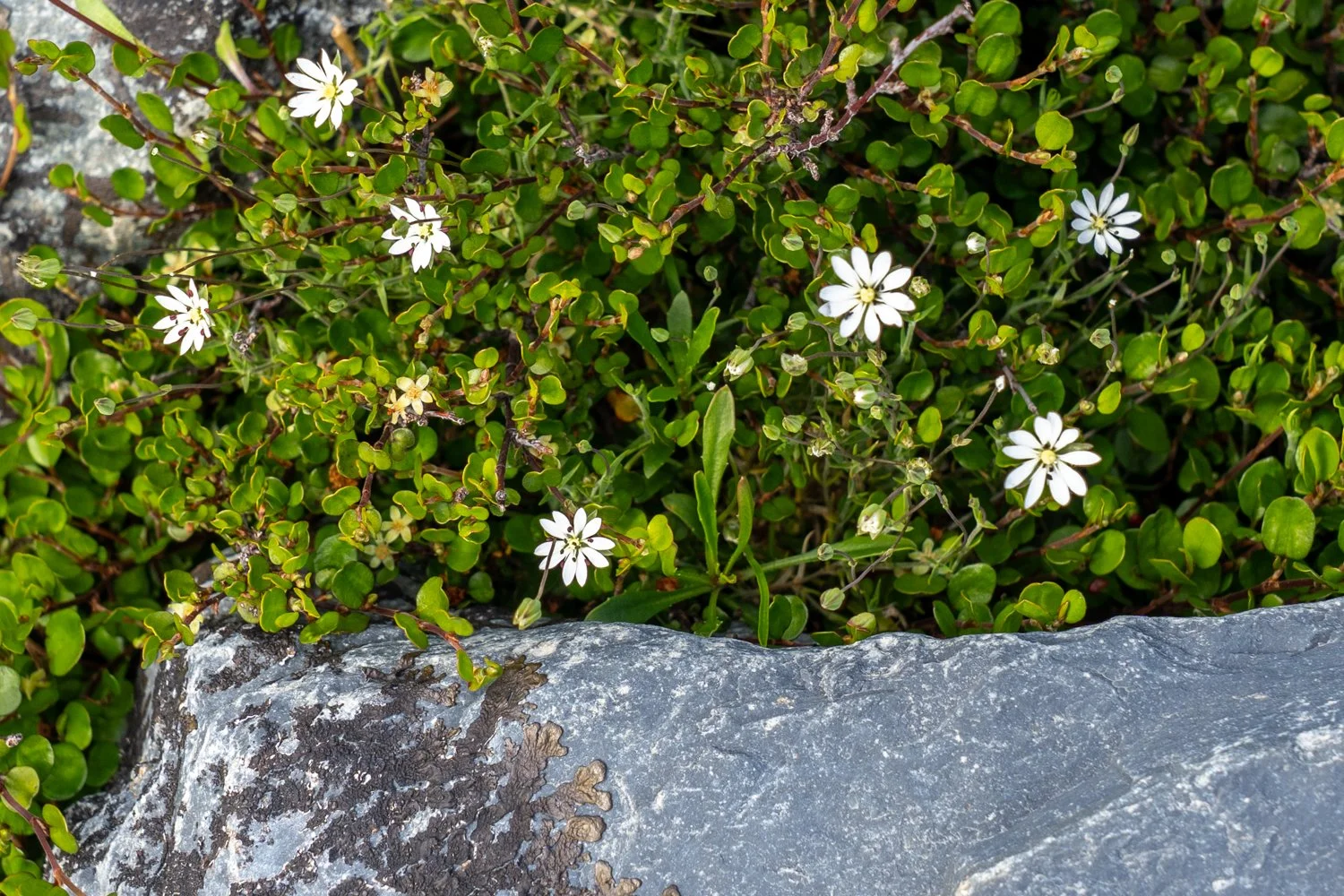
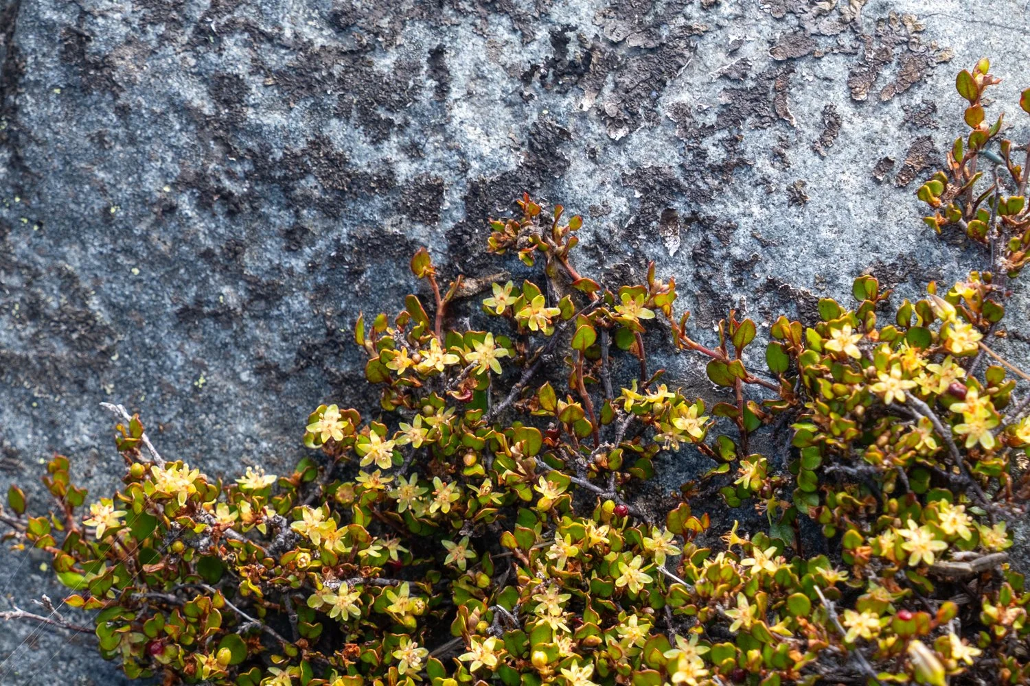
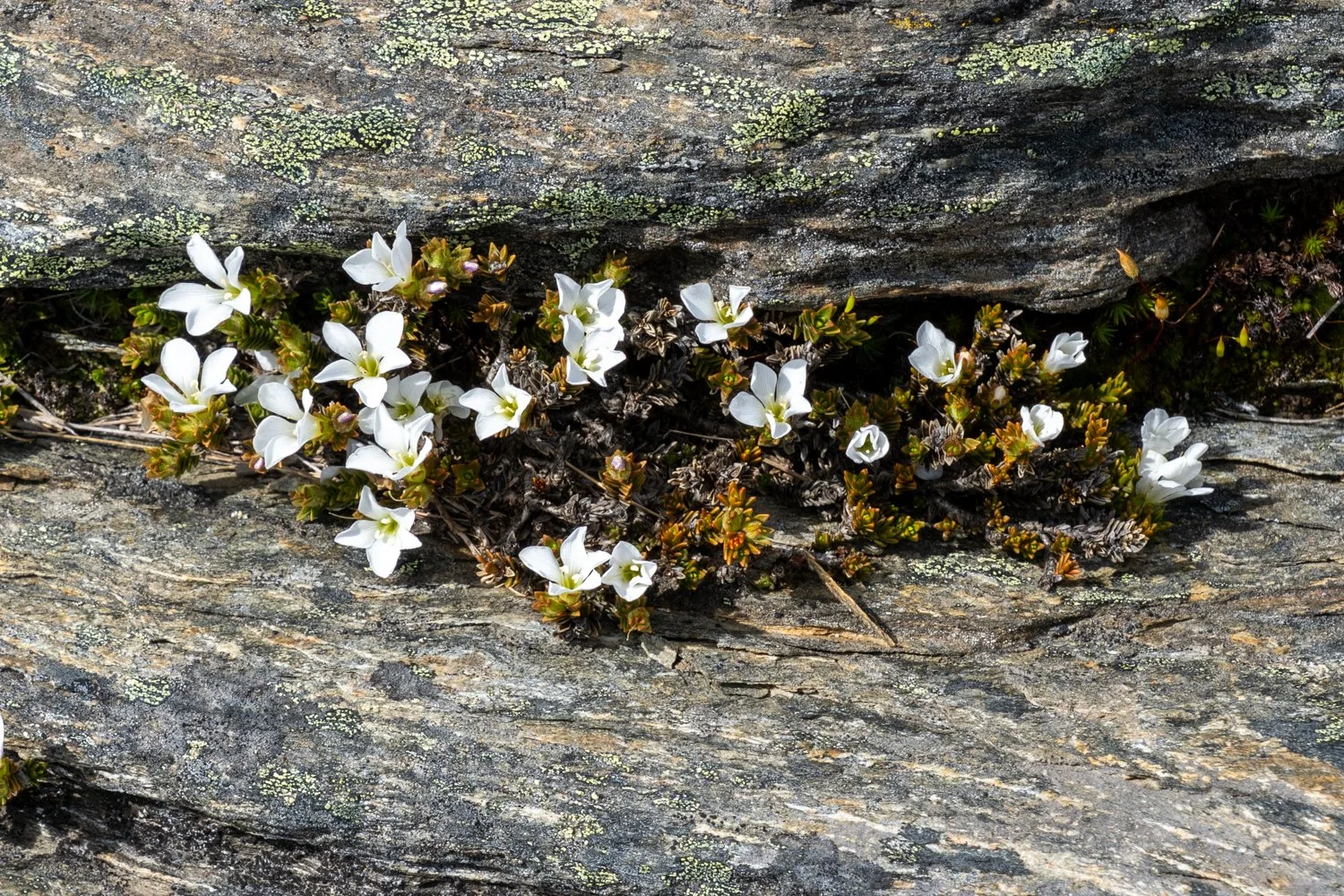
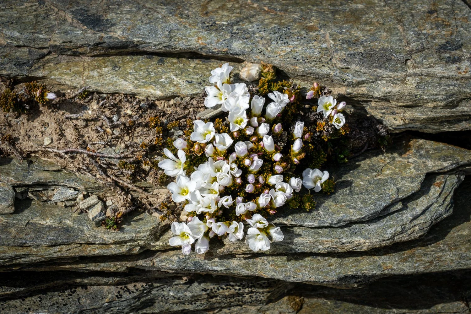
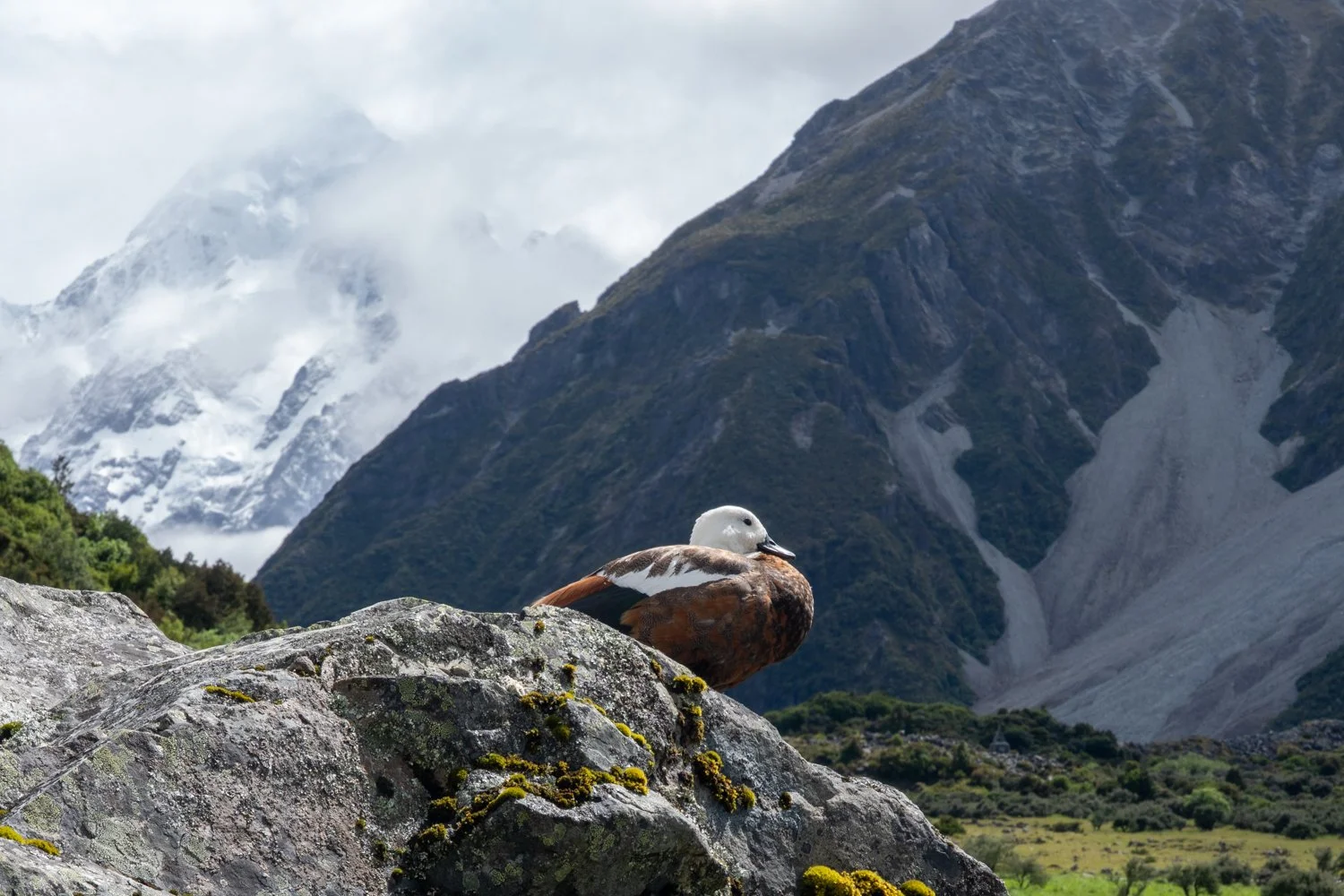
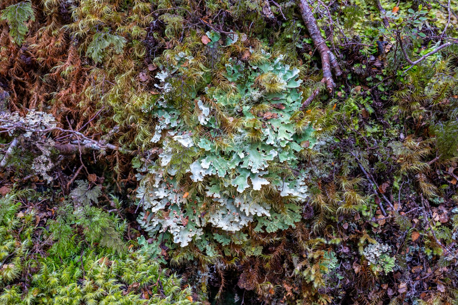
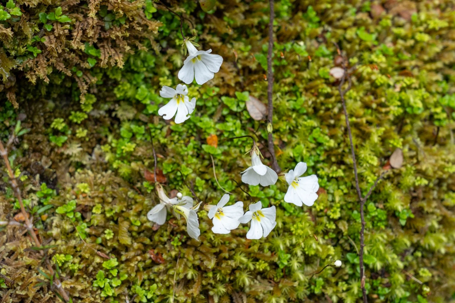
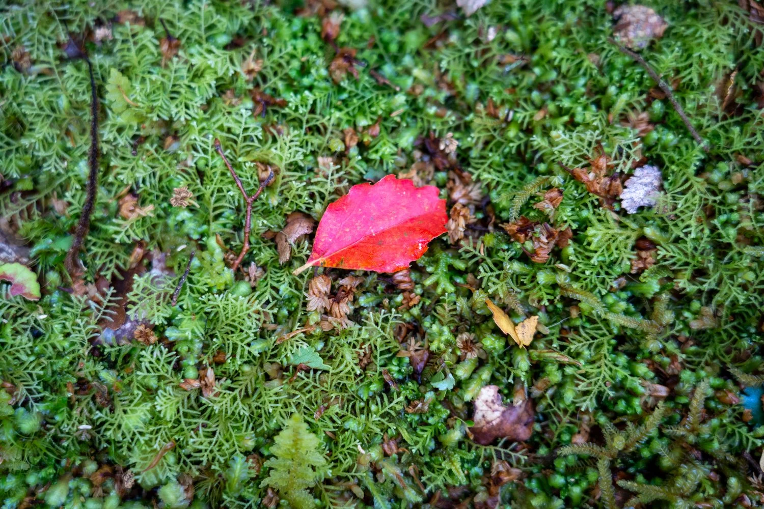
One of the quiet joys of the park is its remarkable alpine flora. Aoraki / Mount Cook National Park is home to roughly 300–400 plant species, many uniquely adapted to the harsh alpine environment. In summer the landscape bursts into colour, particularly with the white blooms of the Mount Cook buttercup, or ranunculus — the largest buttercup species in the world. In places the alpine meadows resemble an English cottage garden that has somehow been relocated to a rugged mountain wilderness.

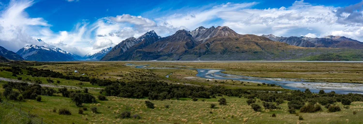
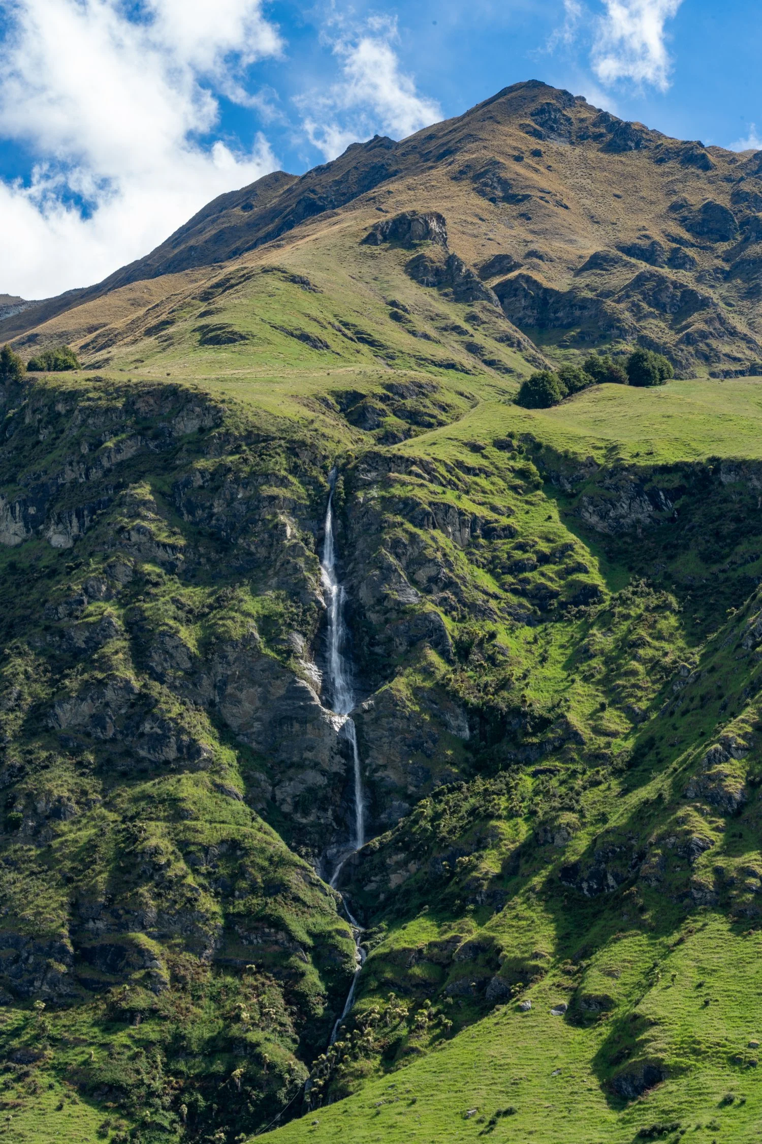
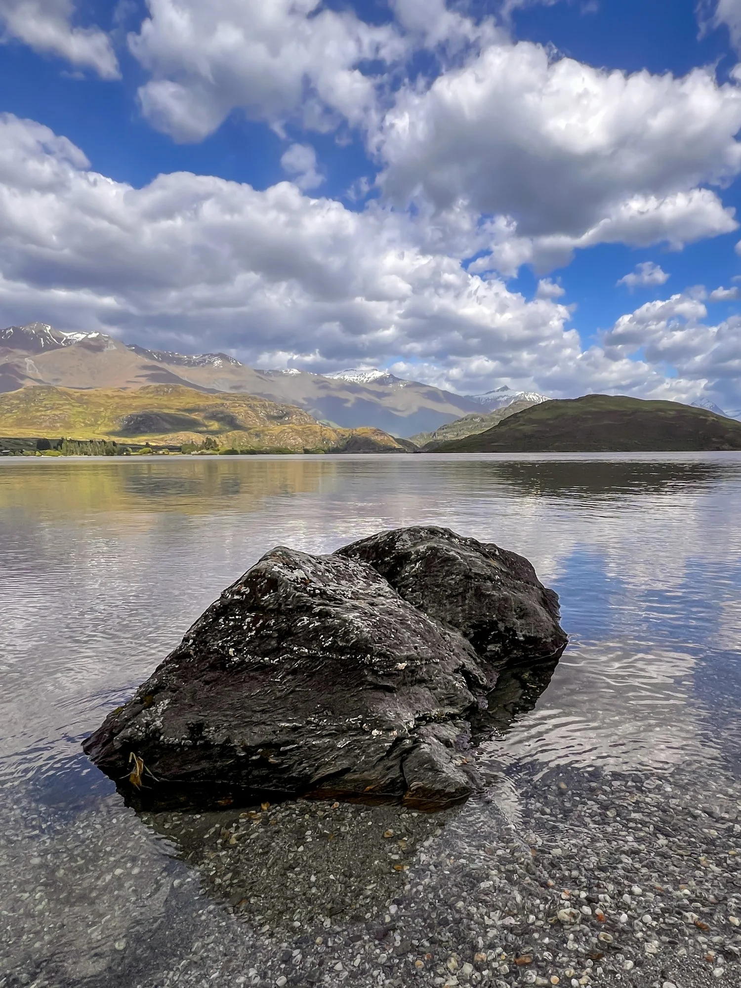
Aoraki / Mount Cook National Park to Wanaka
While we could easily have spent another week exploring the National Park, it was time to get back on the road to Wānaka.
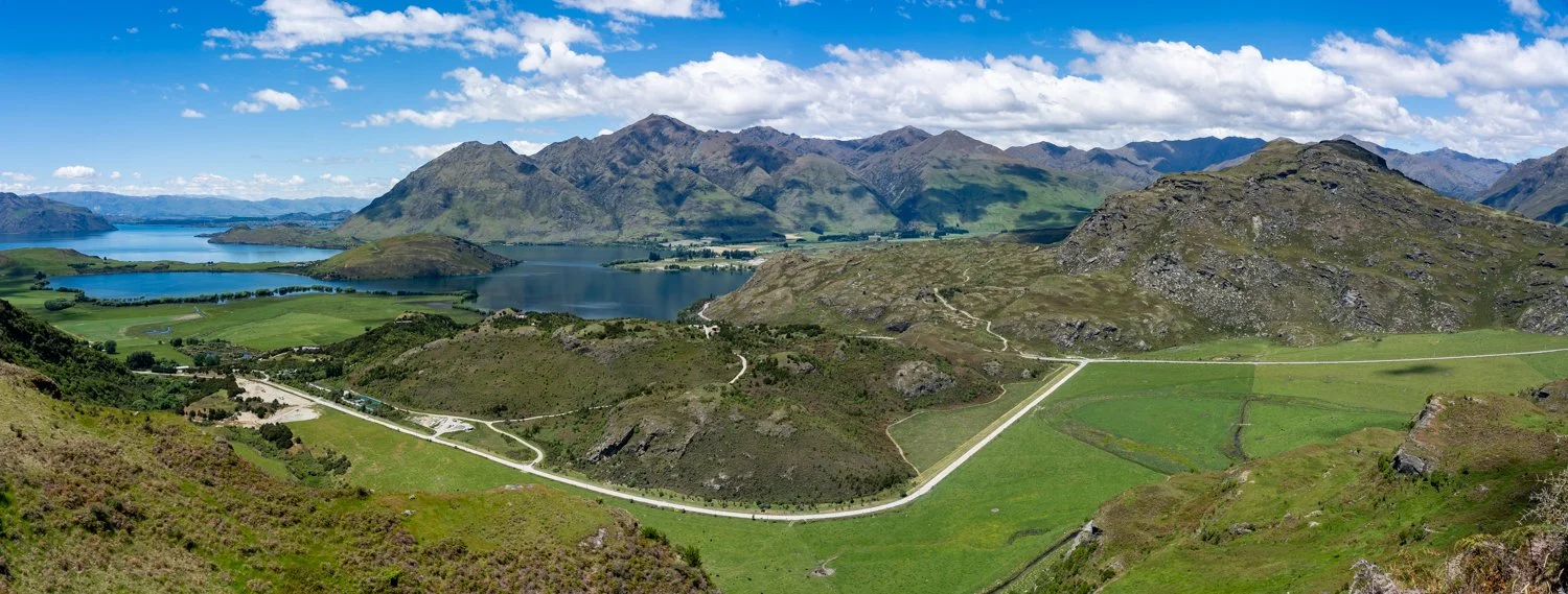
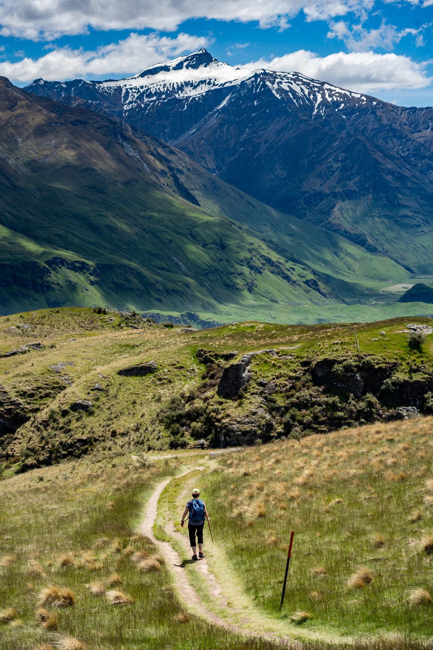
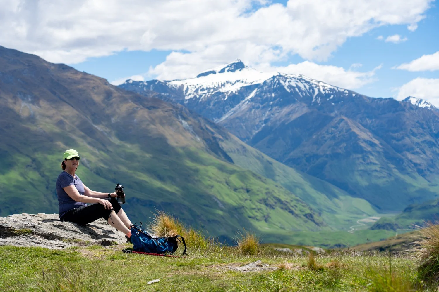
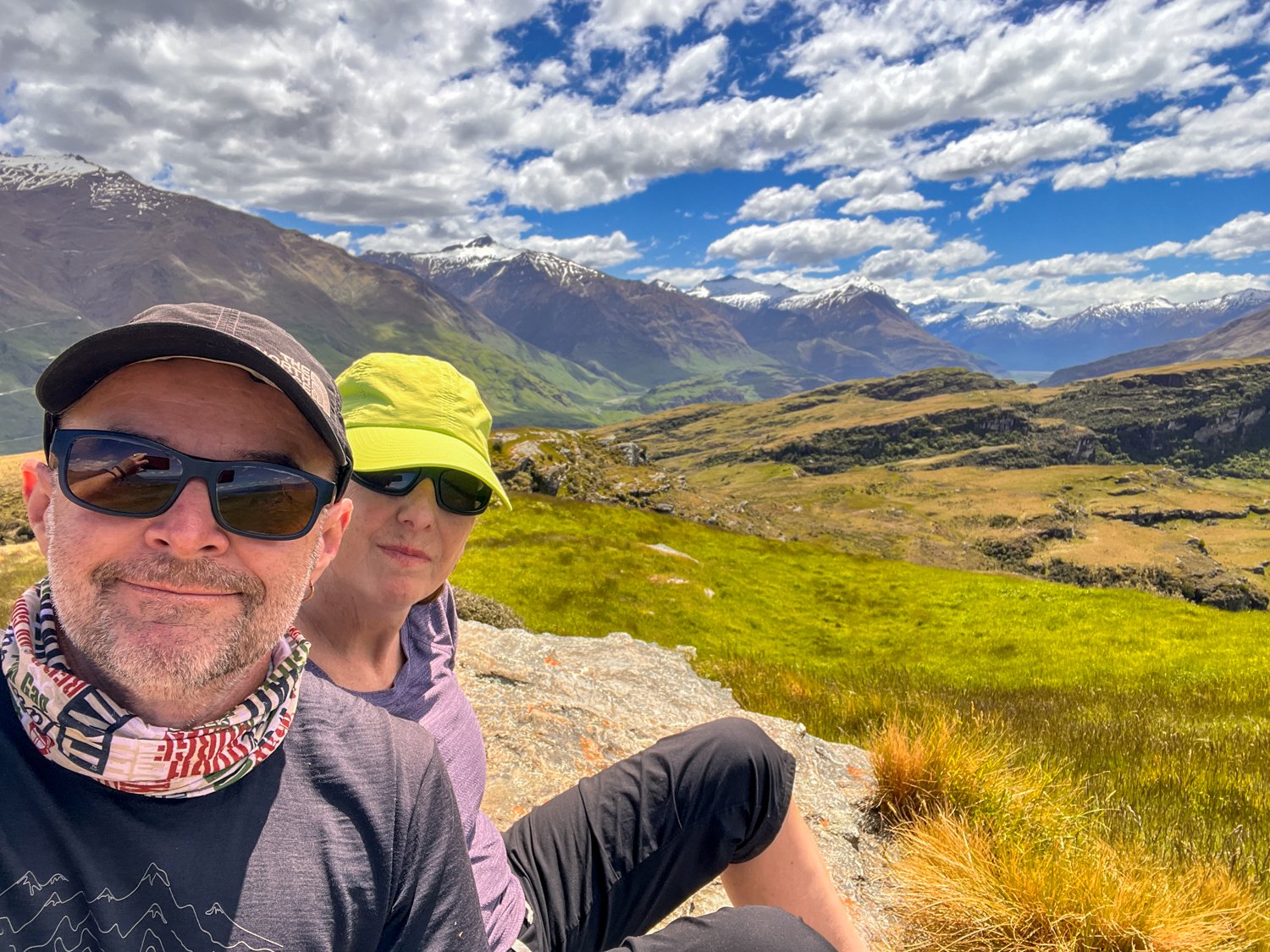
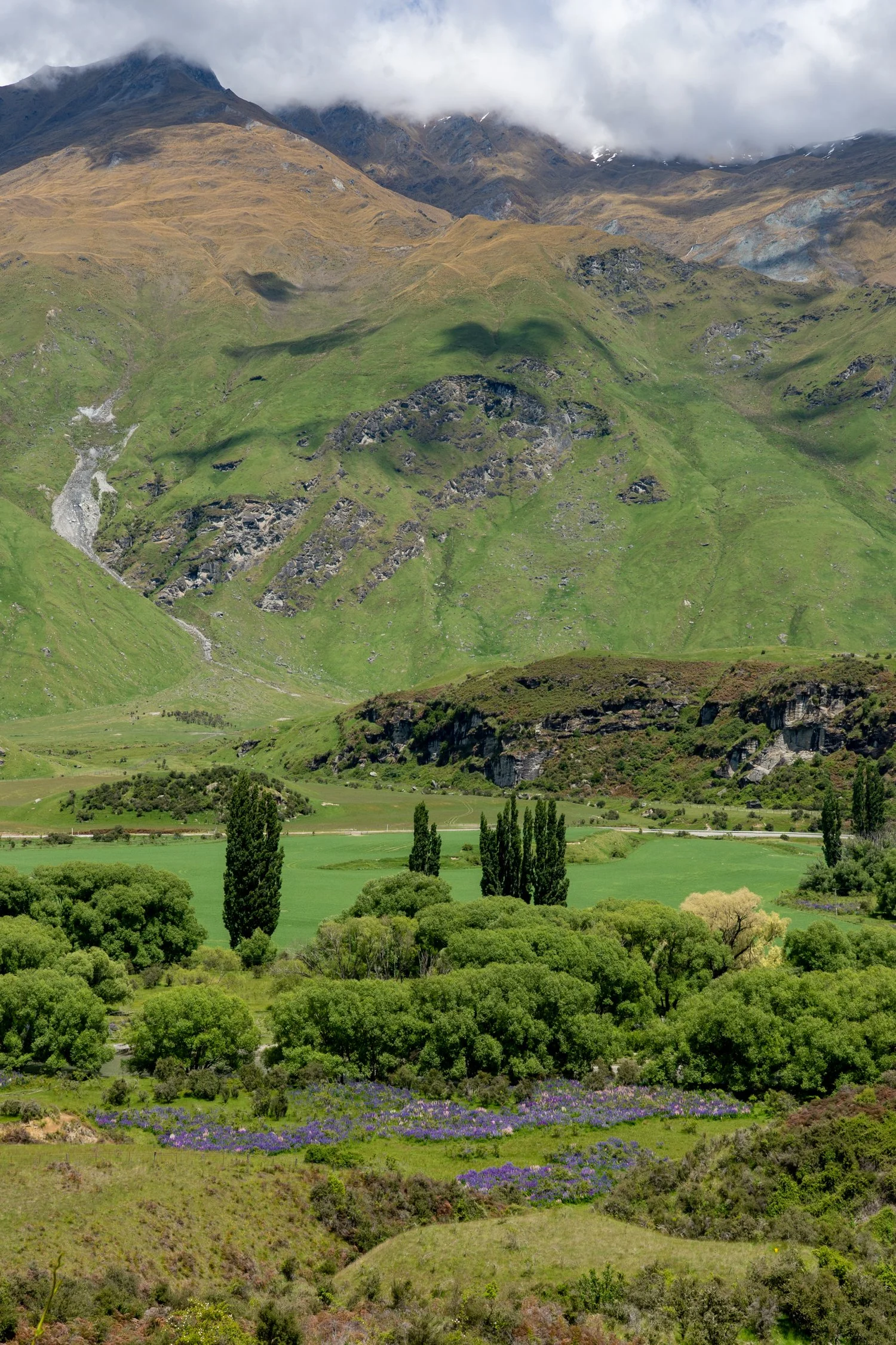
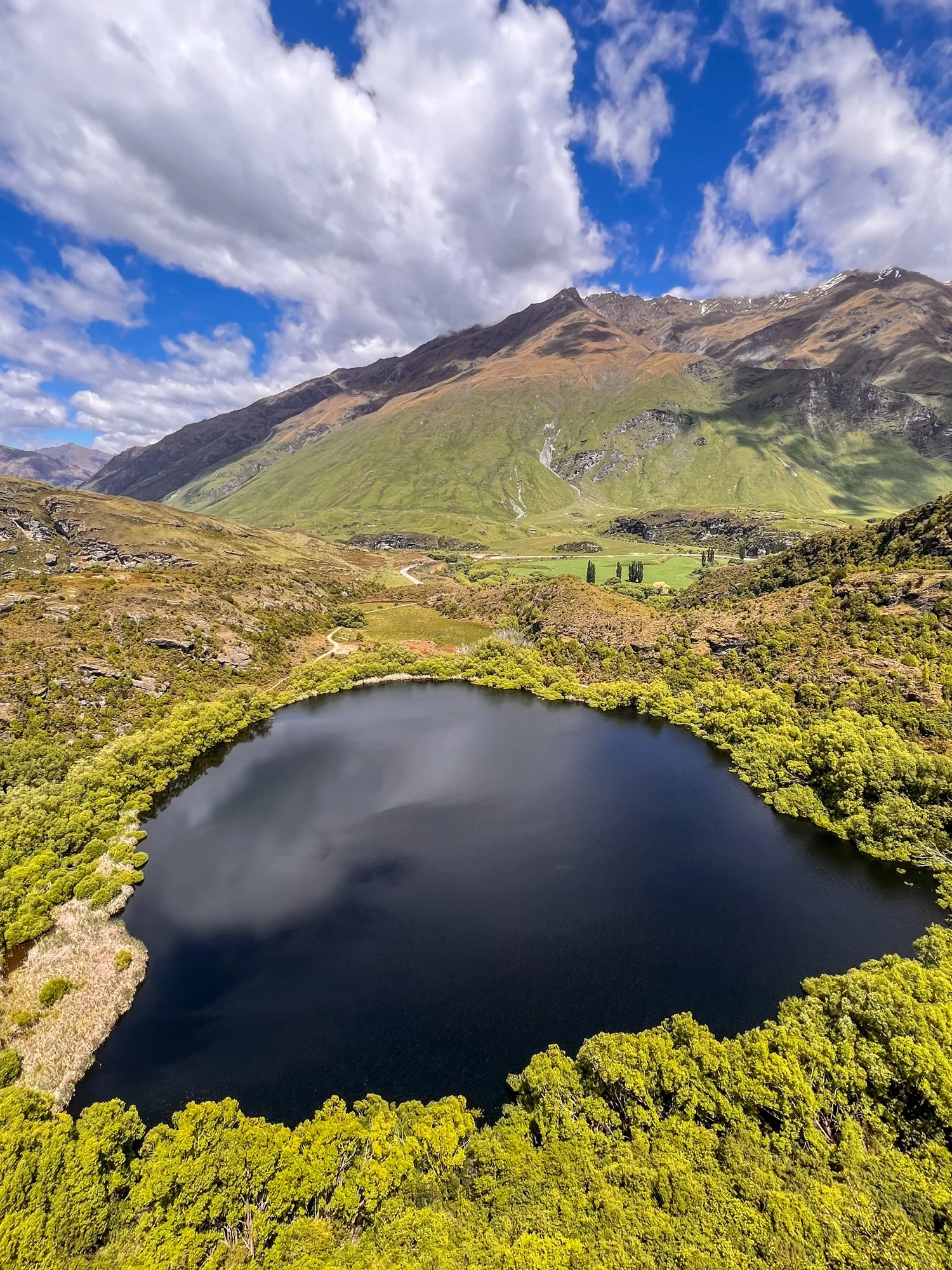
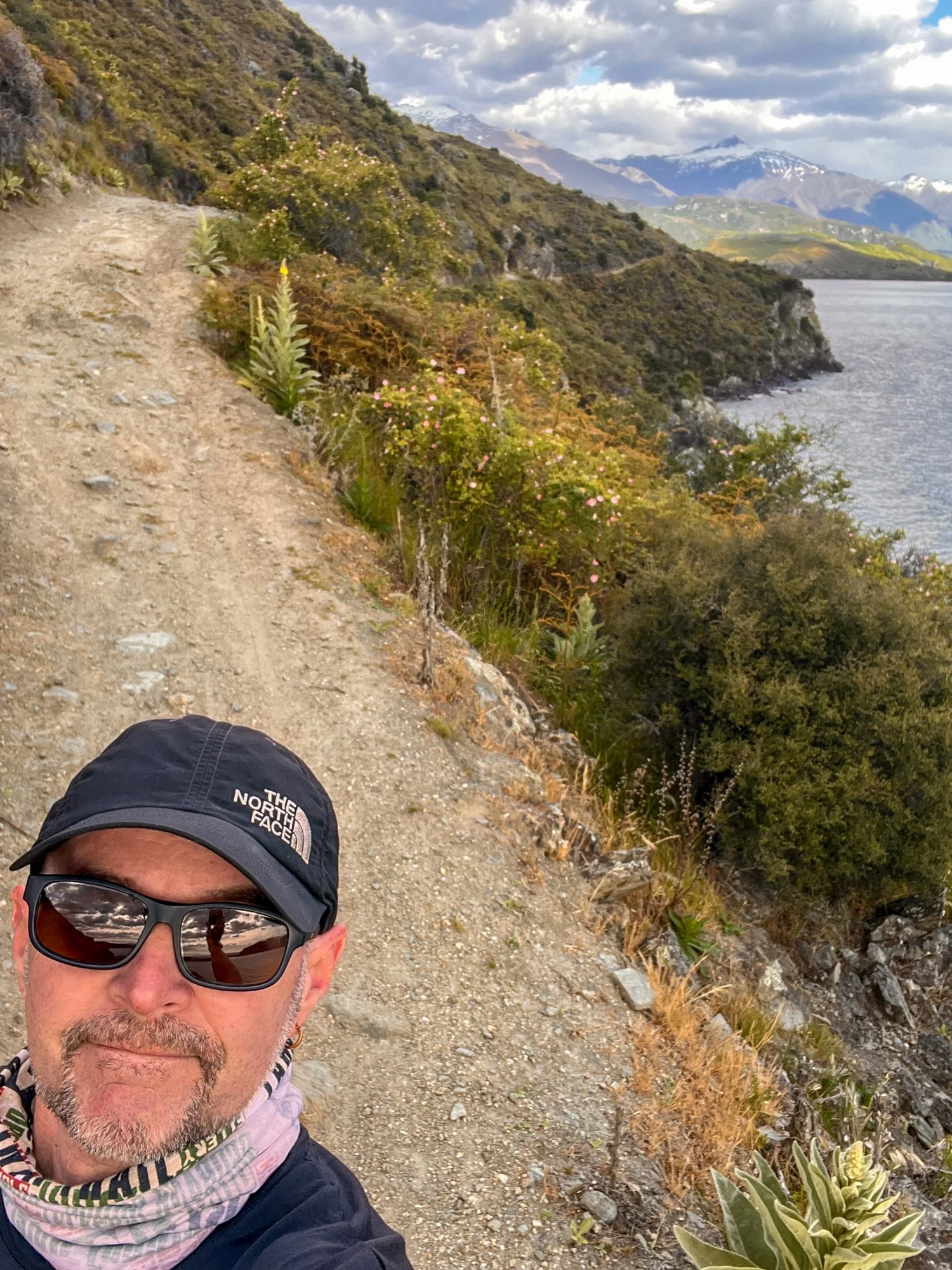
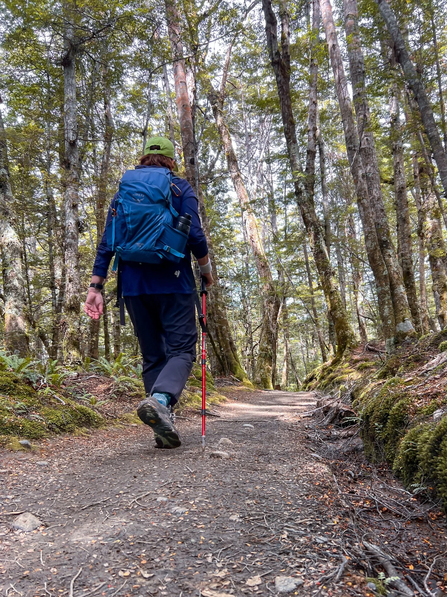
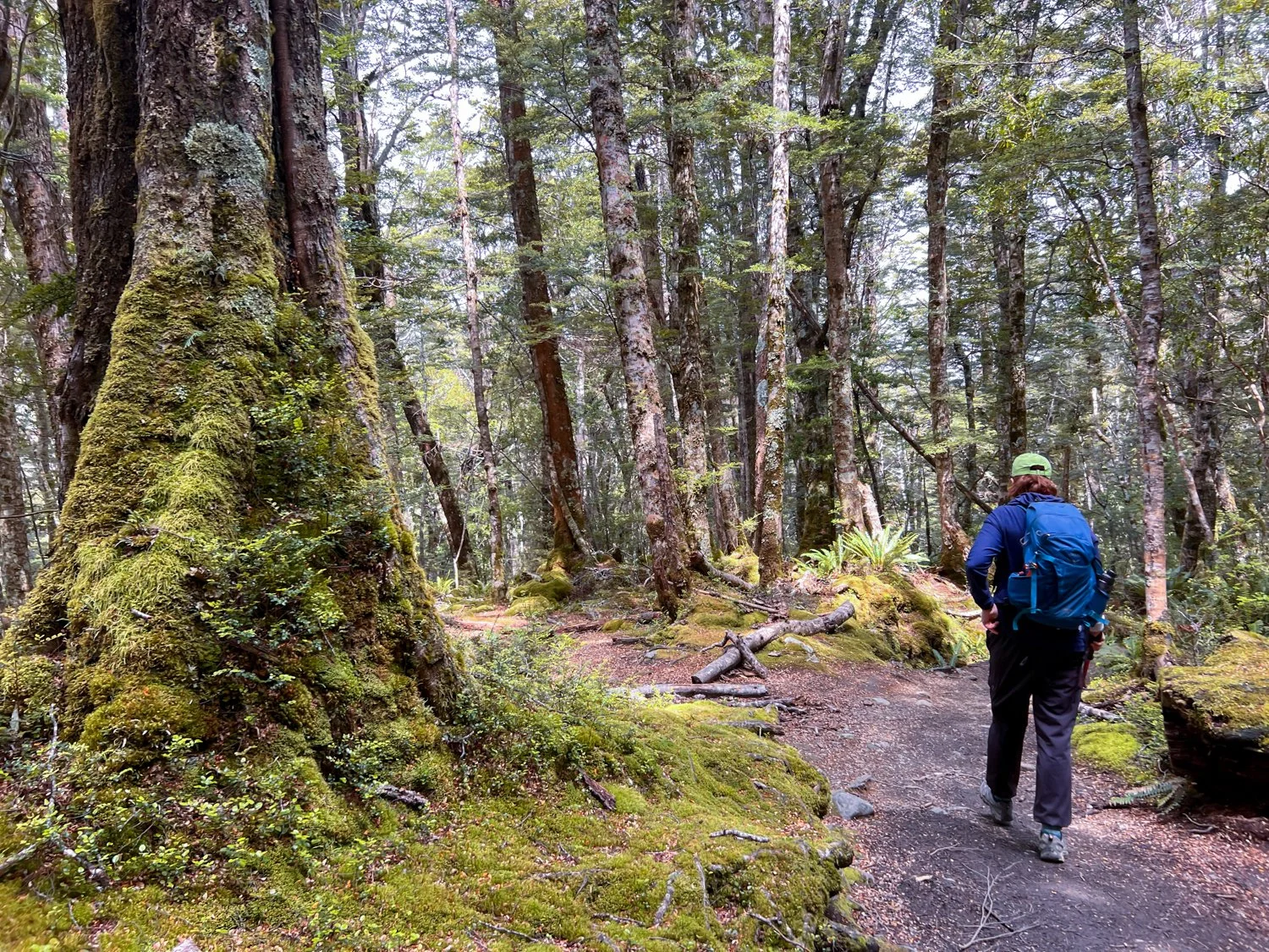
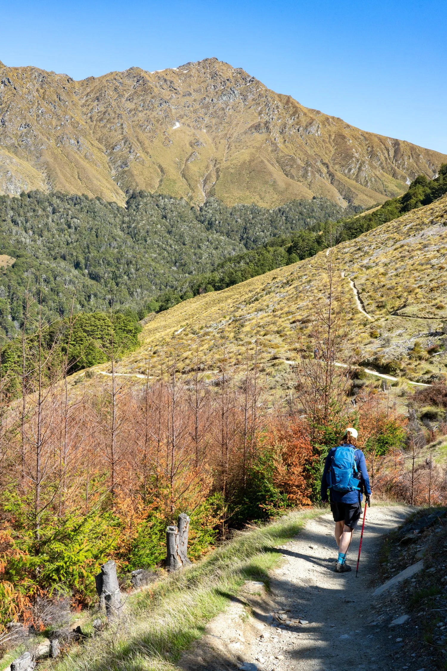
It was not long before boots were laced again for the Diamond Lake and Rocky Mountain Track. The trail climbed steeply through forest before opening onto sweeping viewpoints above Bishops Bay. The legs complained a little, but the views had a way of quieting that conversation.

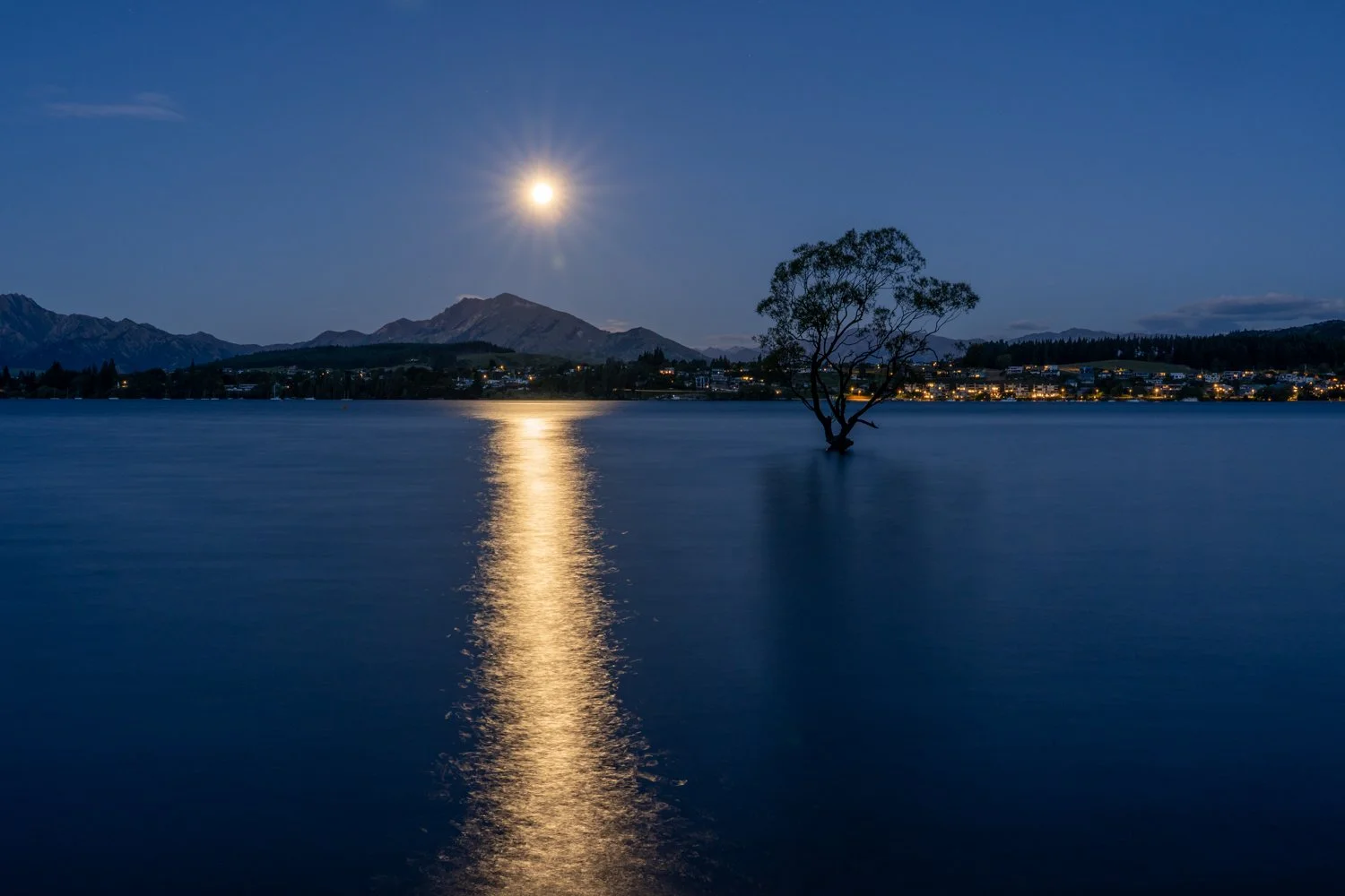
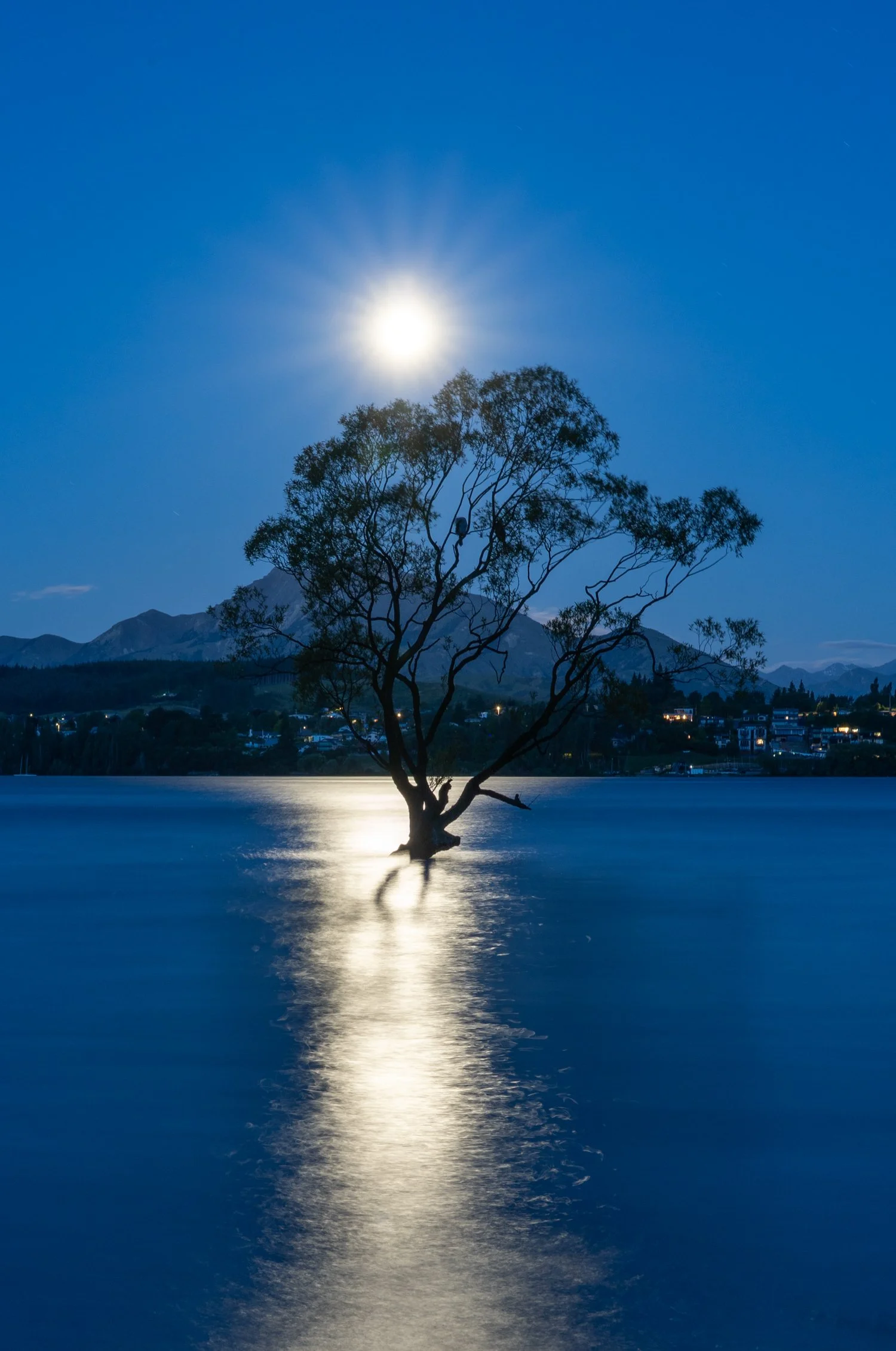
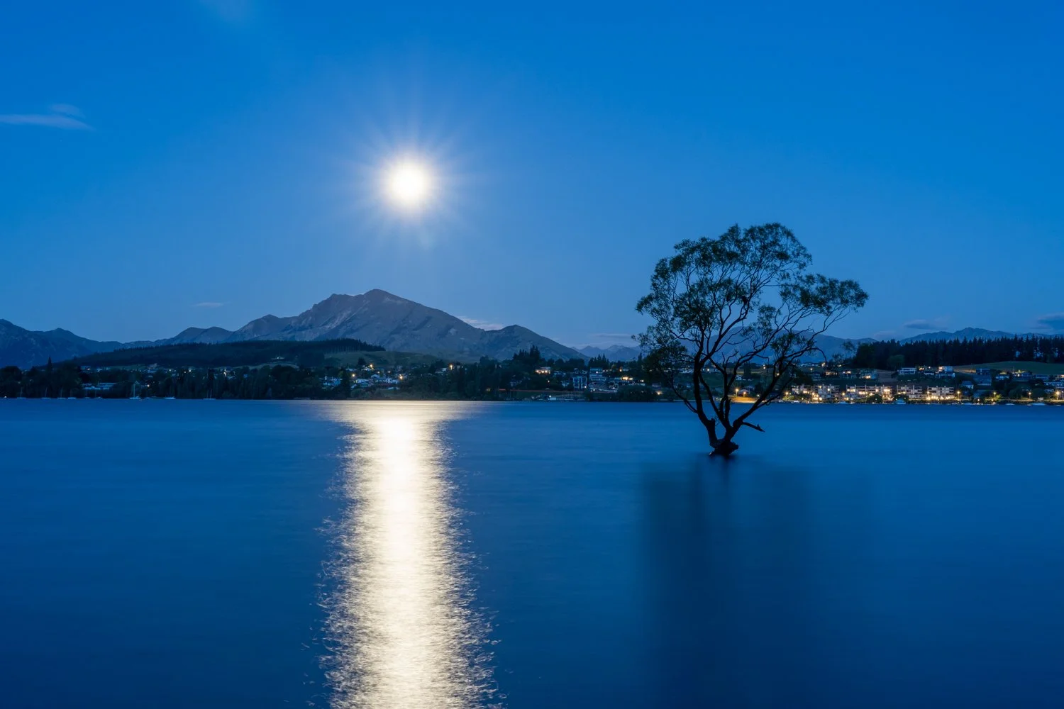
Photographing the famous Wanaka Tree at sunrise can feel less like landscape photography and more like a wildlife safari at feeding time. Like a pack of safari photographers capturing a lion on a fresh kill, the lake can often be over run with photographers. Rather than joining the dawn frenzy, I opted for a different strategy: return later that night. Long after the morning “hunt” had ended and the crowd had dispersed, the lake was quiet again. As the moon rose above the lake, its soft light illuminated the lone tree standing calmly in the water — no competition, no jockeying for position, just a peaceful moment with one of New Zealand’s most photographed trees.
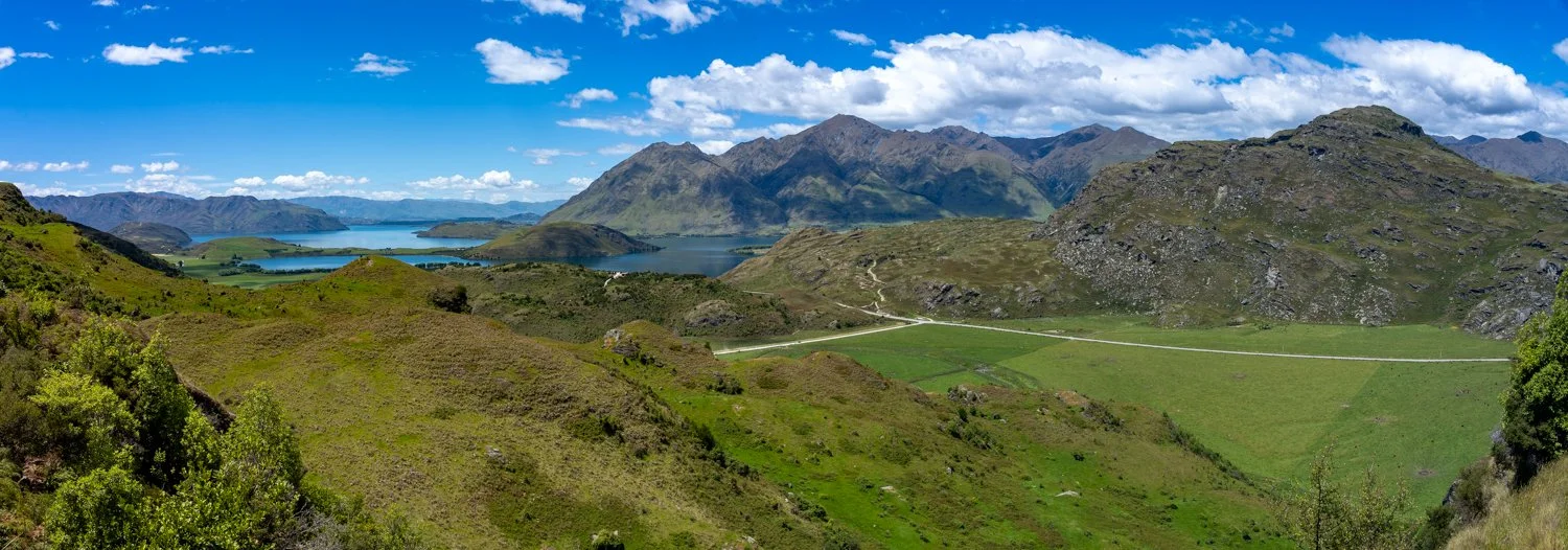
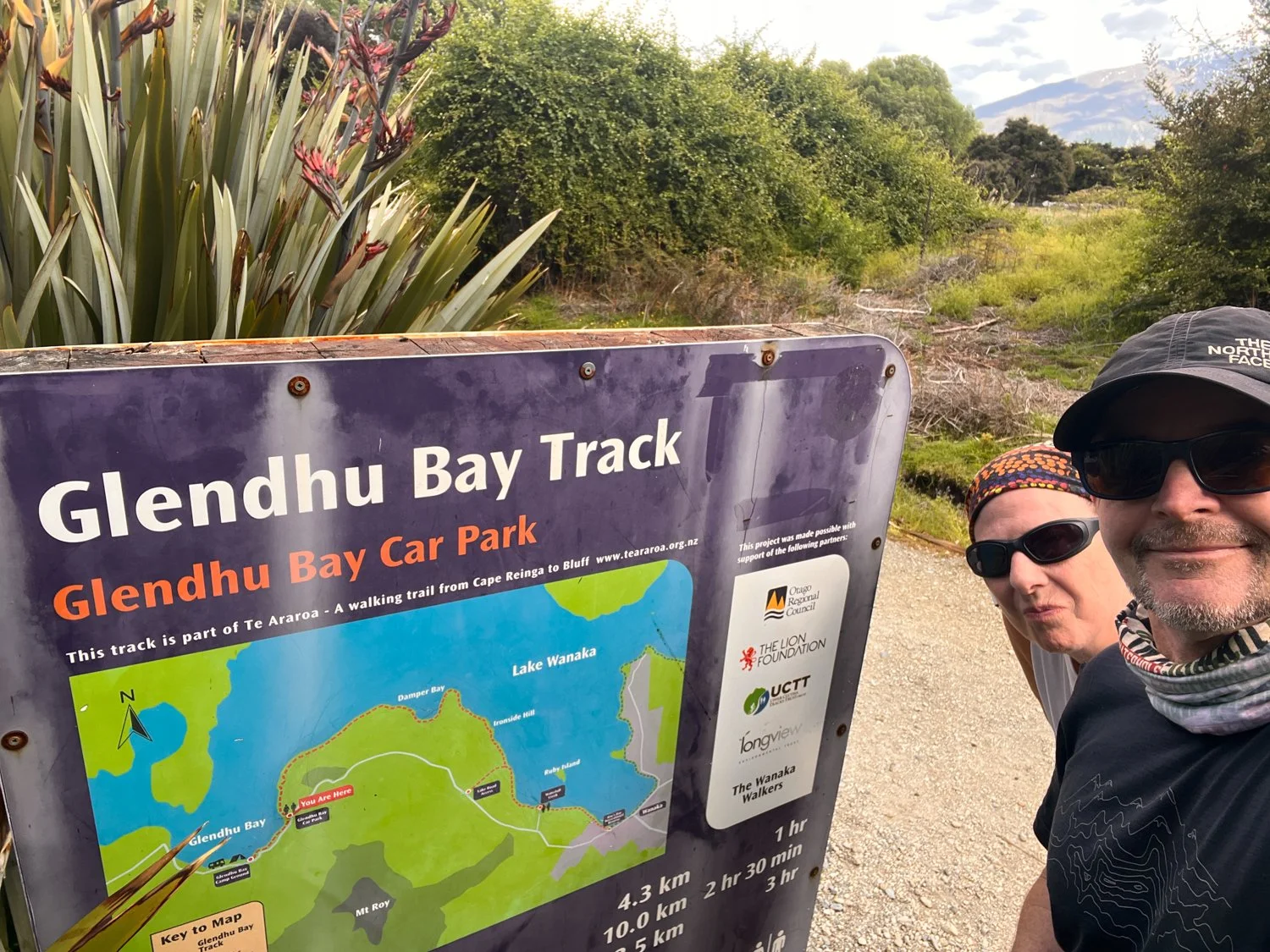
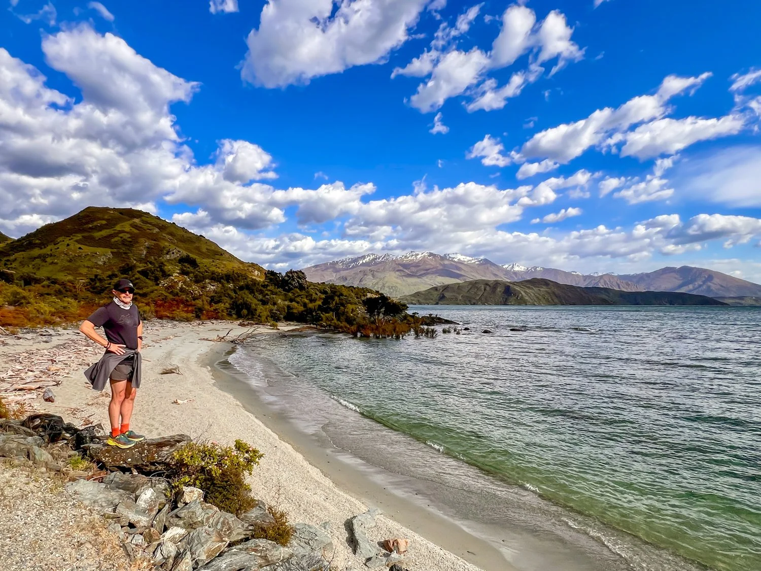
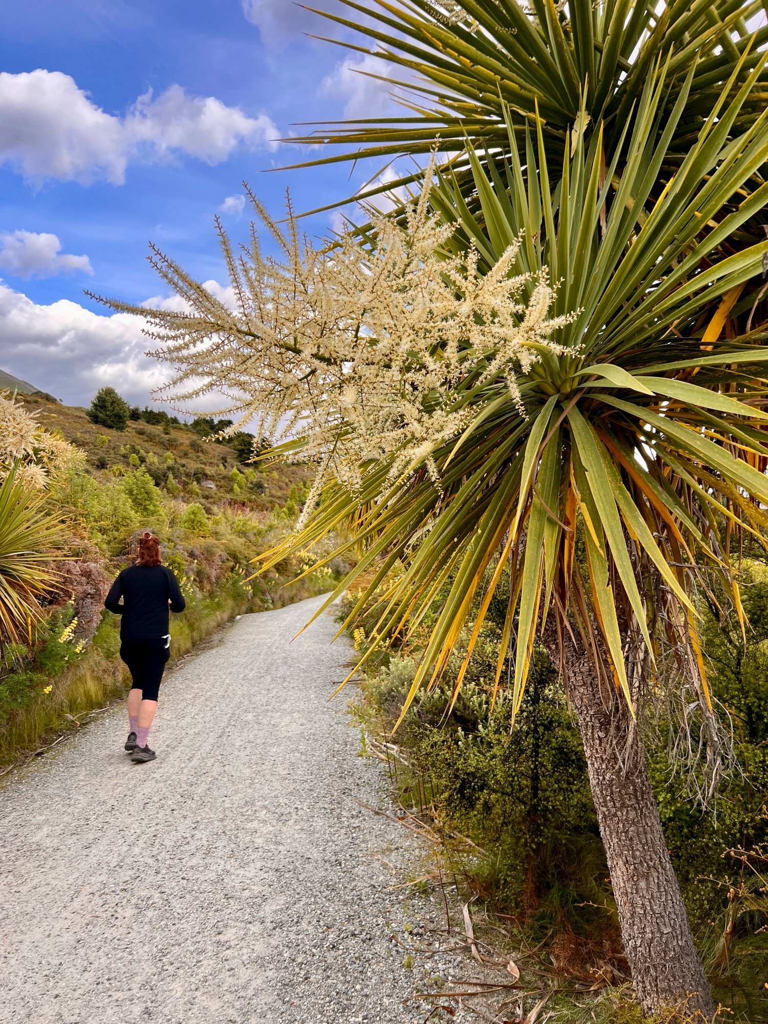
The following day was officially labelled a “rest day”. In hiking language this apparently means replacing hiking with a casual 20-kilometre trail run along the Glendhu Bay Track. It turns out that when you’re surrounded by scenery like this, the definition of rest becomes wonderfully flexible.
Wanaka to Te Anau
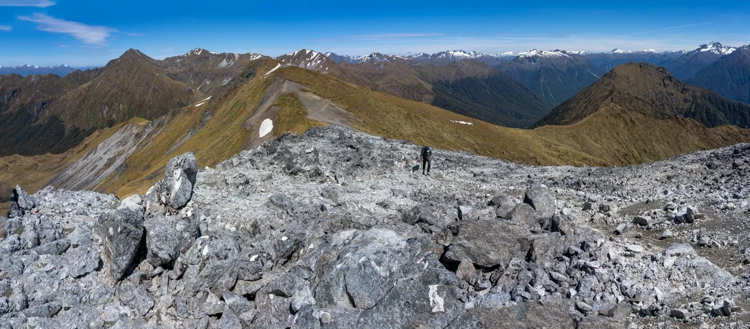
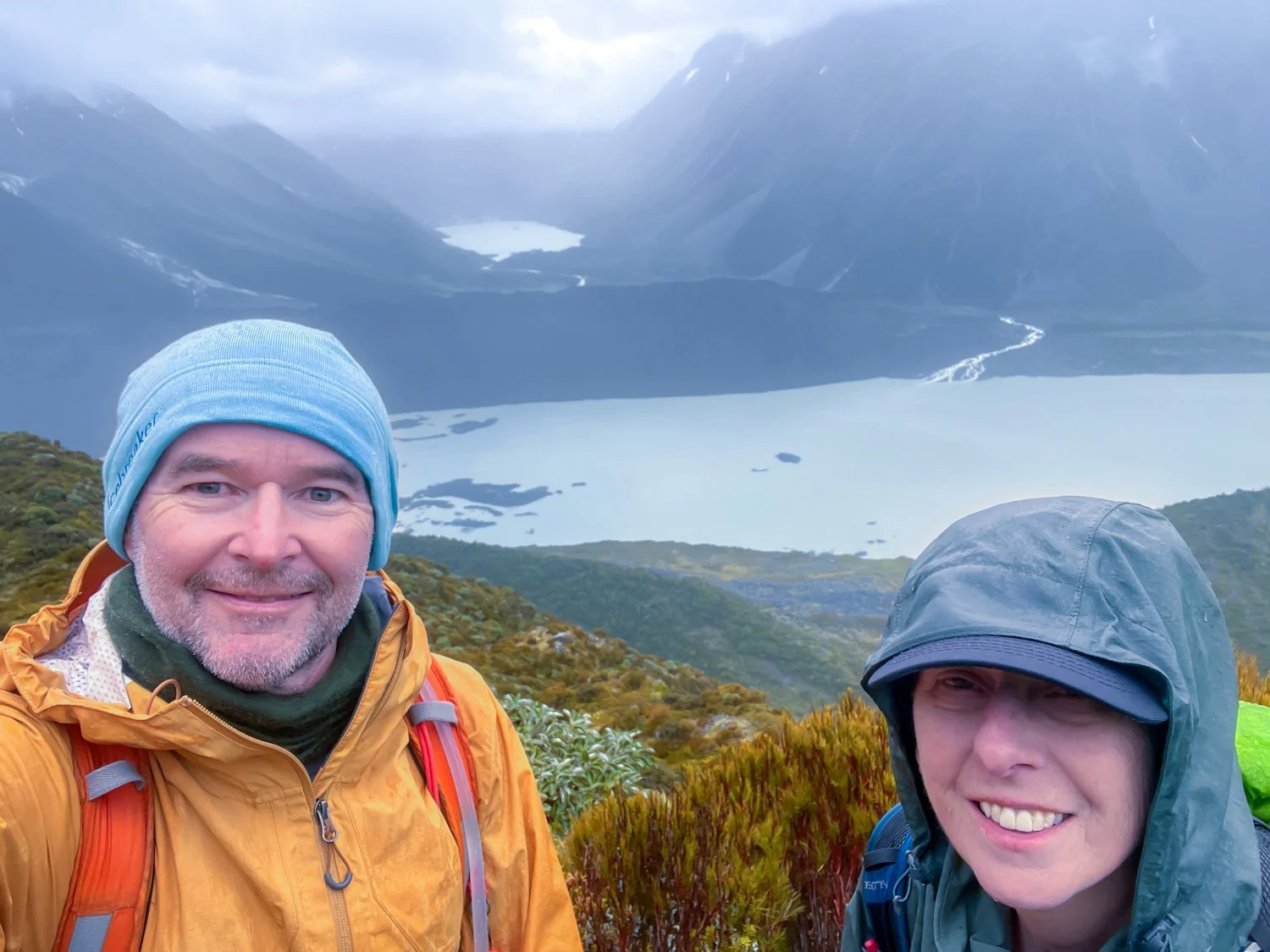
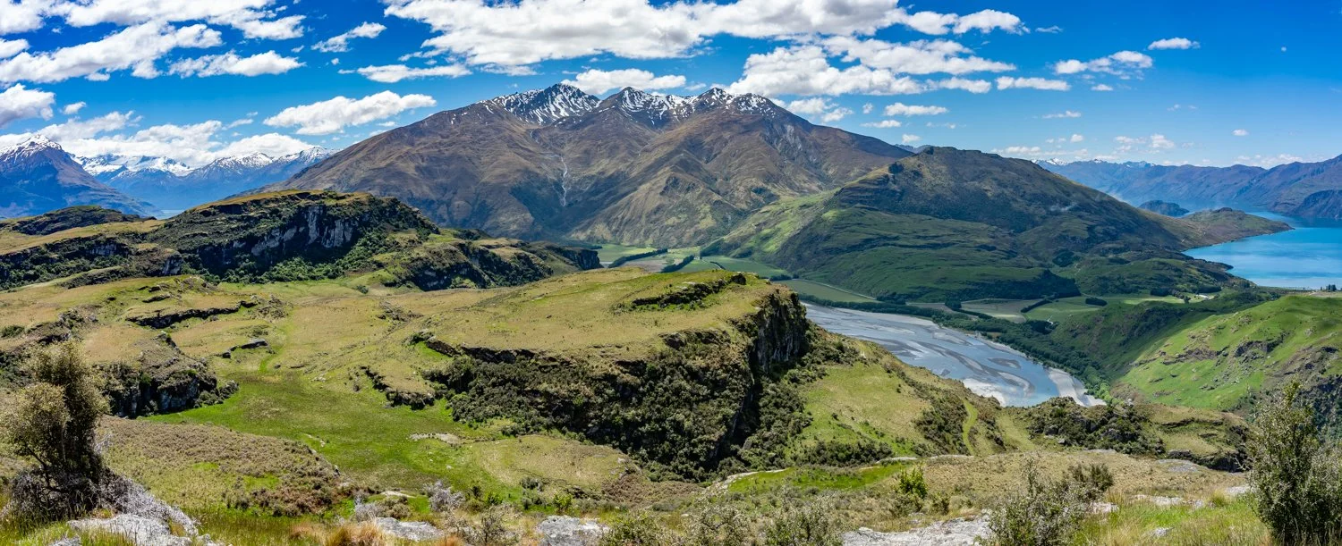
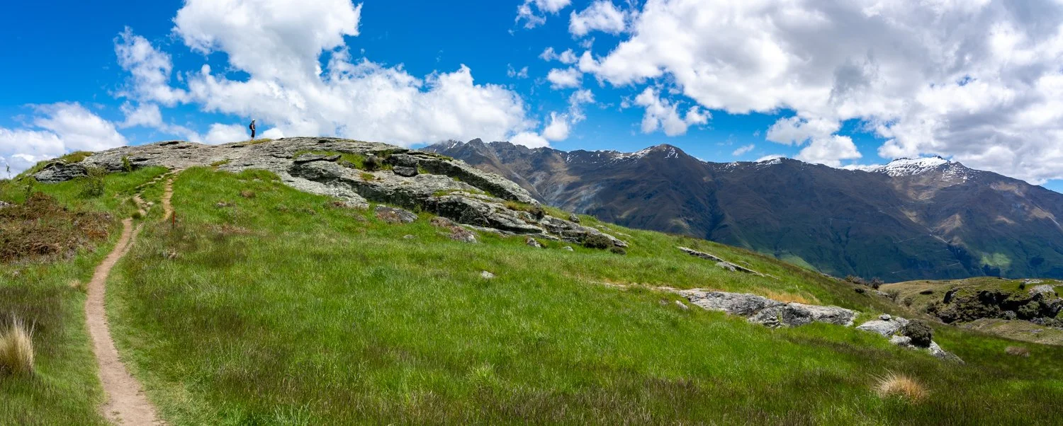
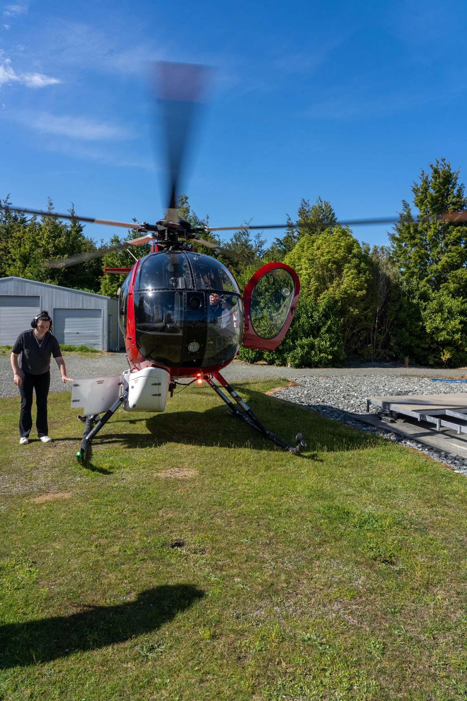
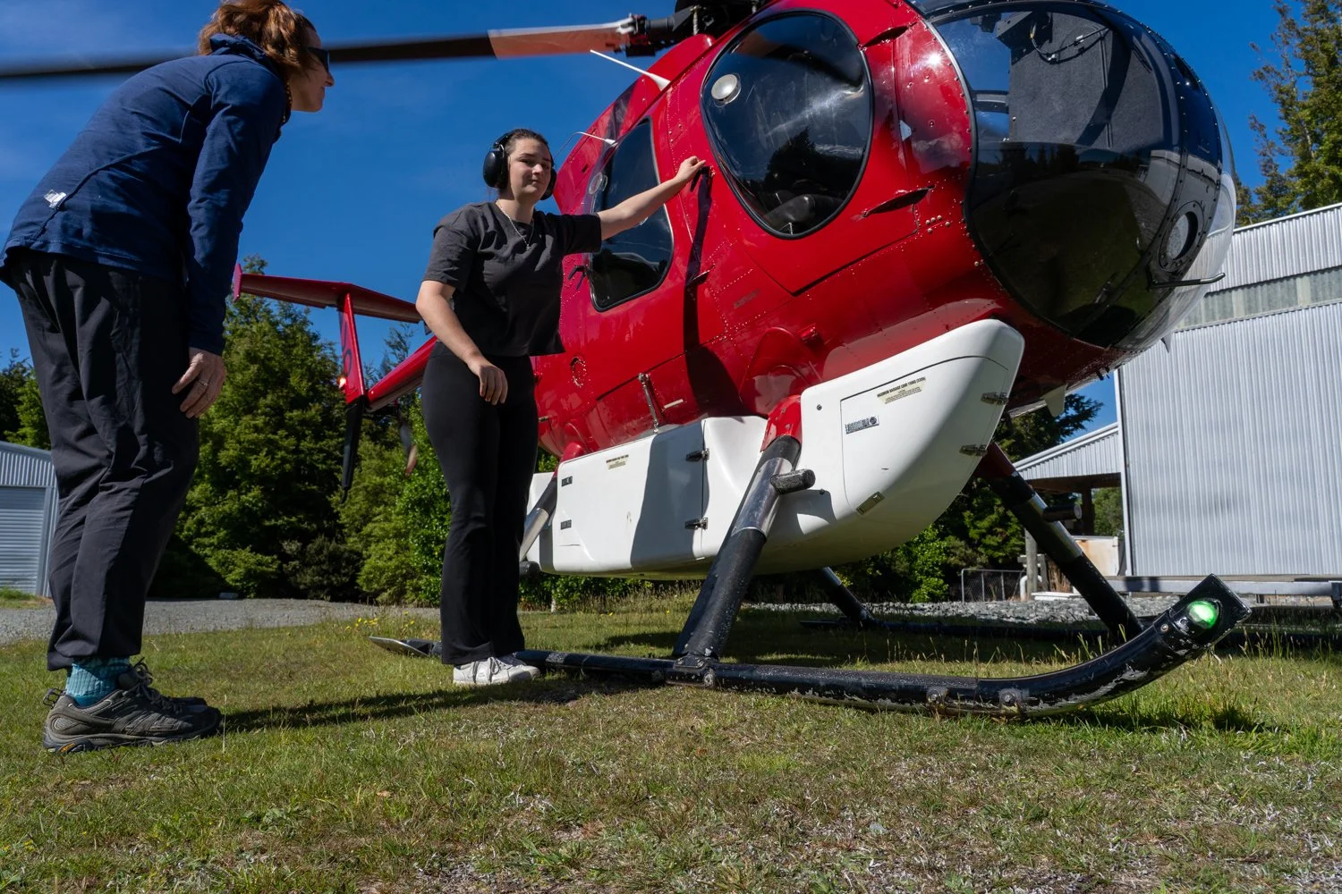
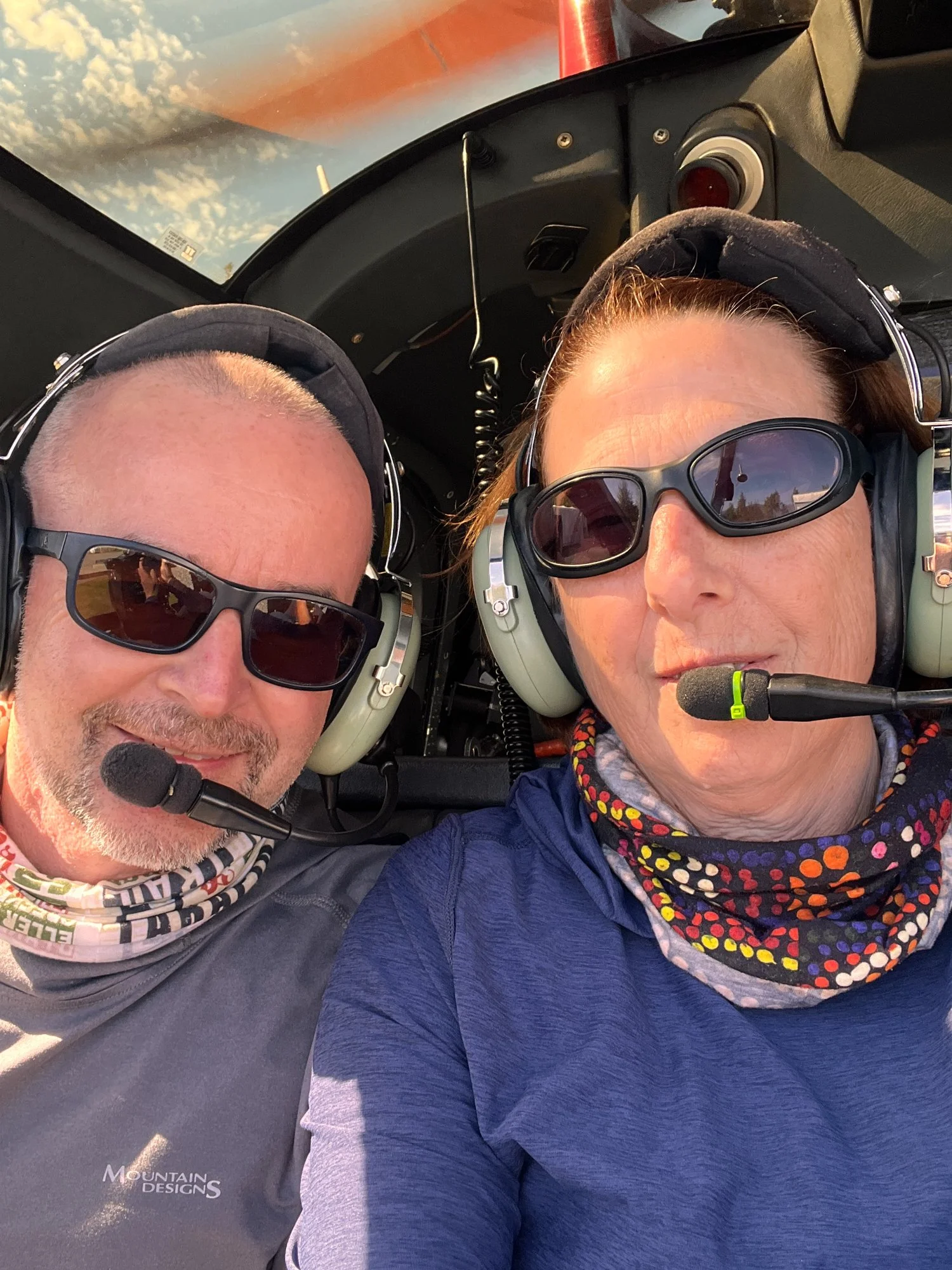
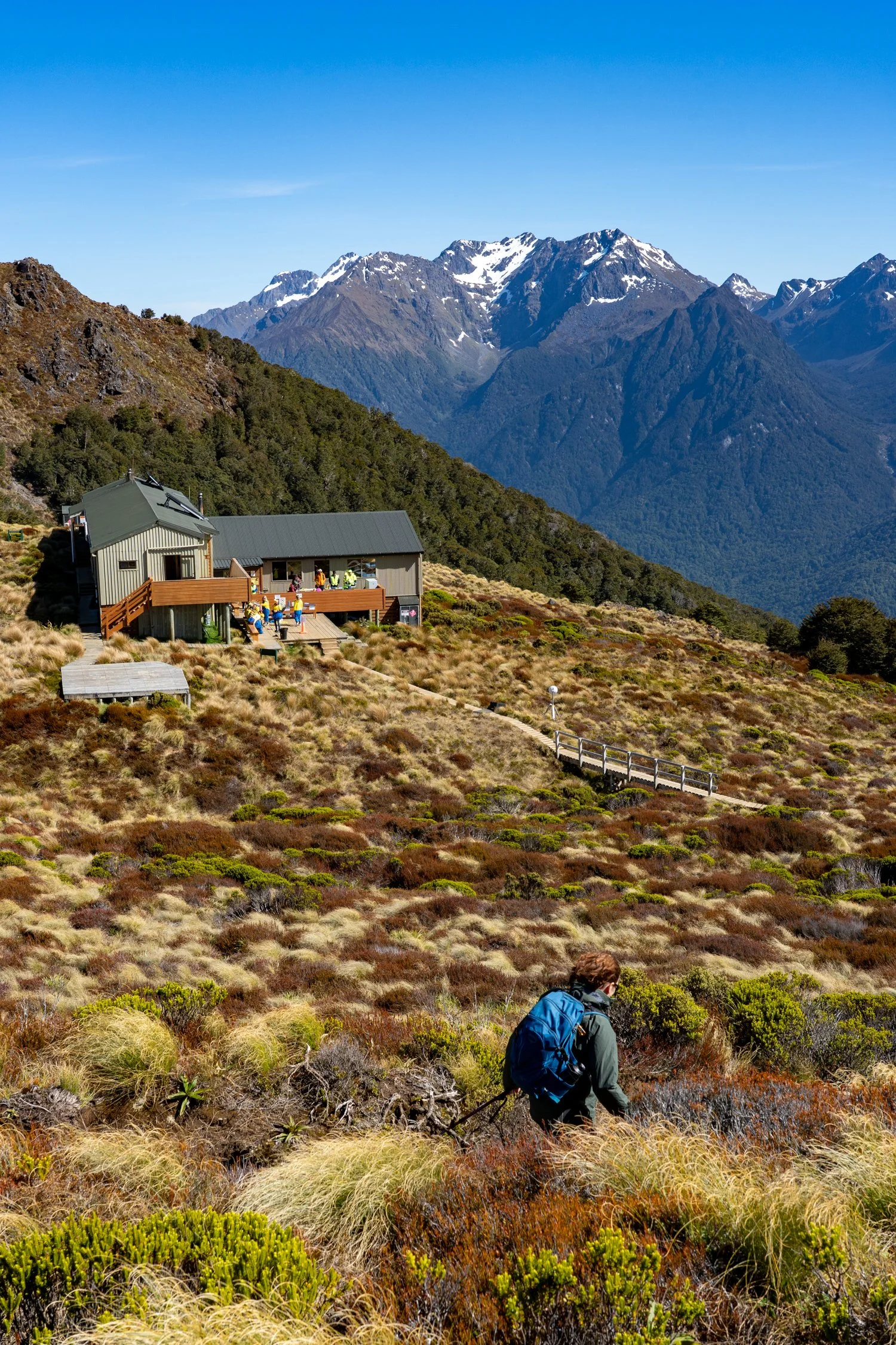
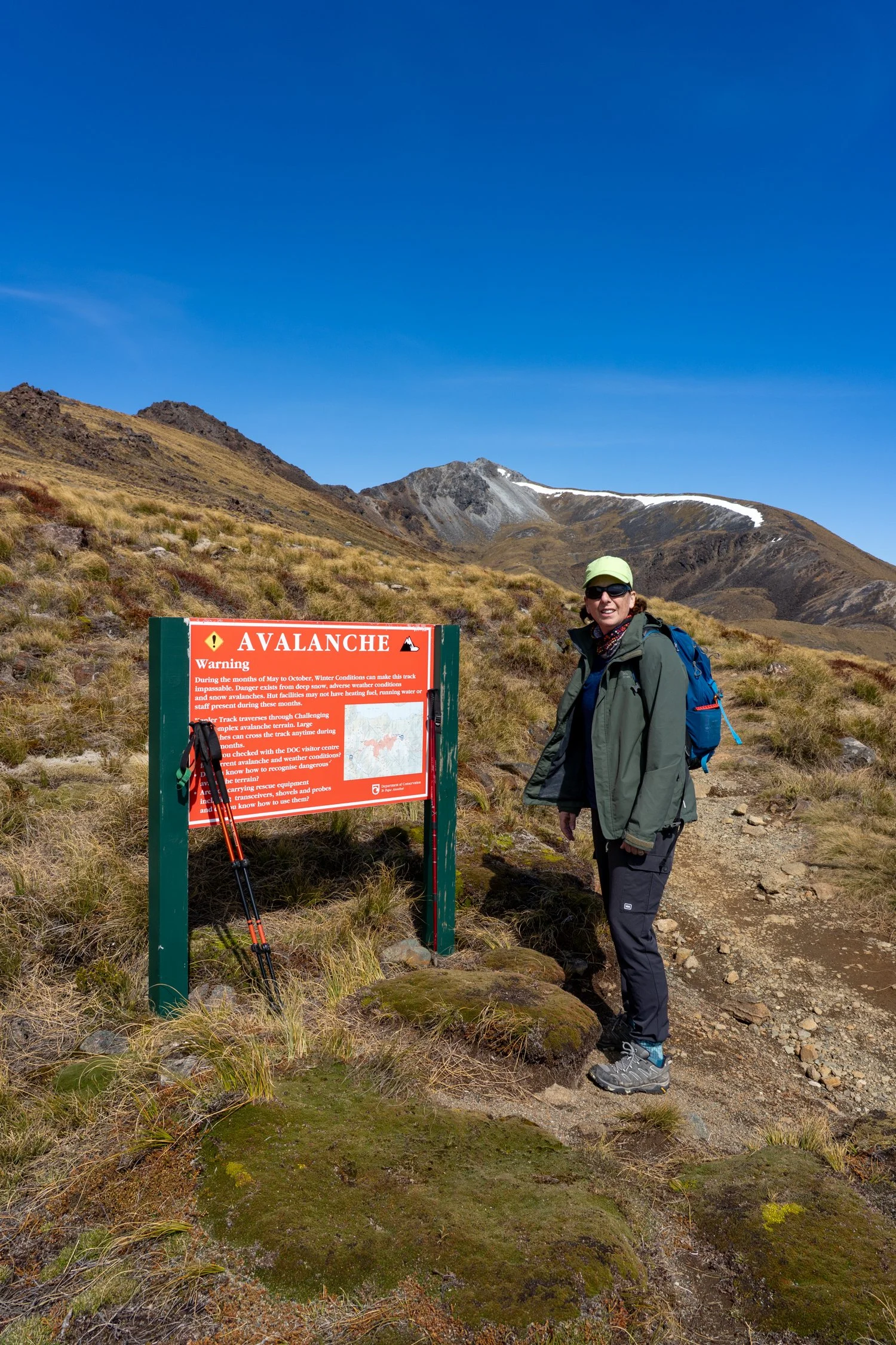
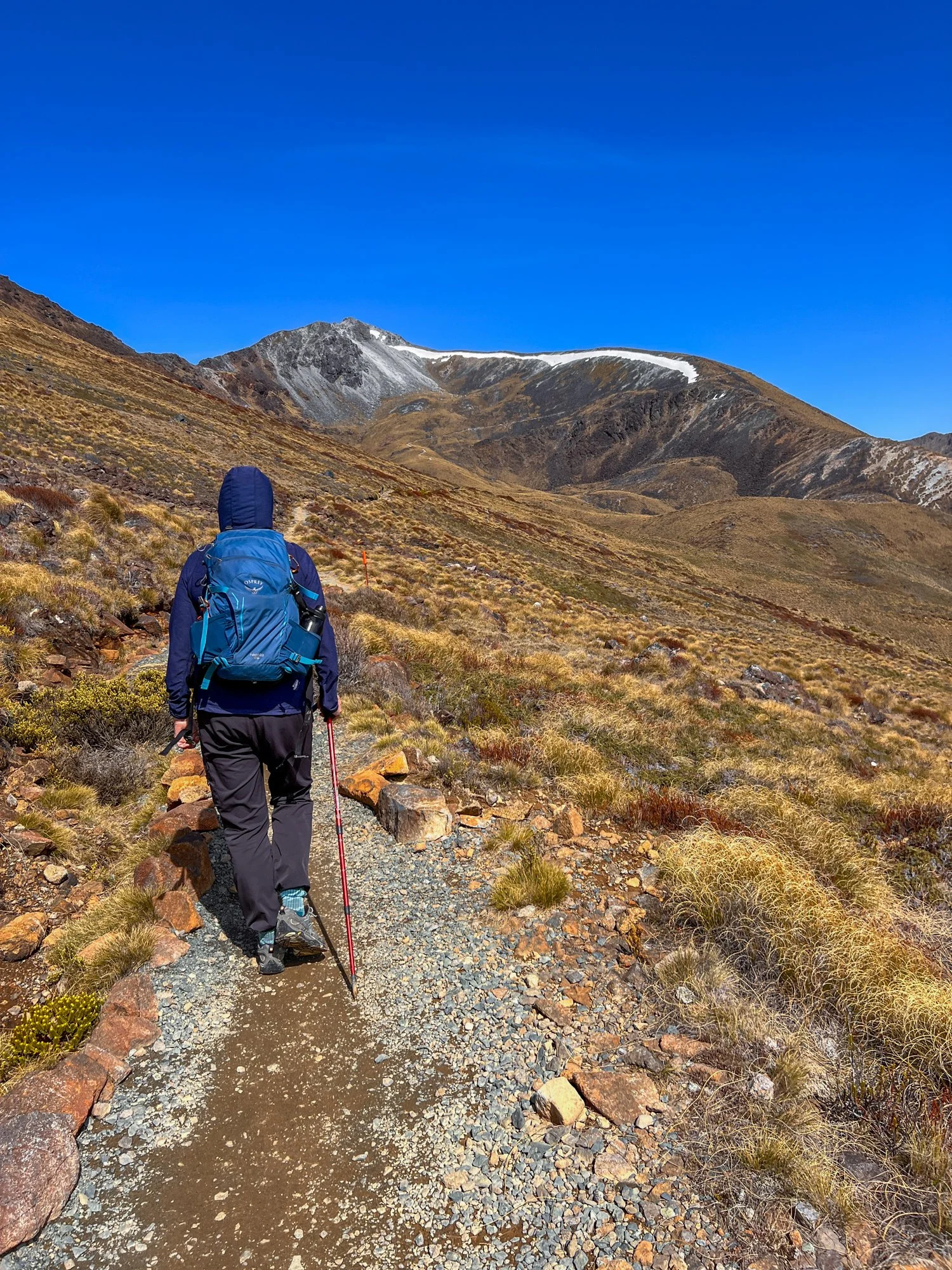
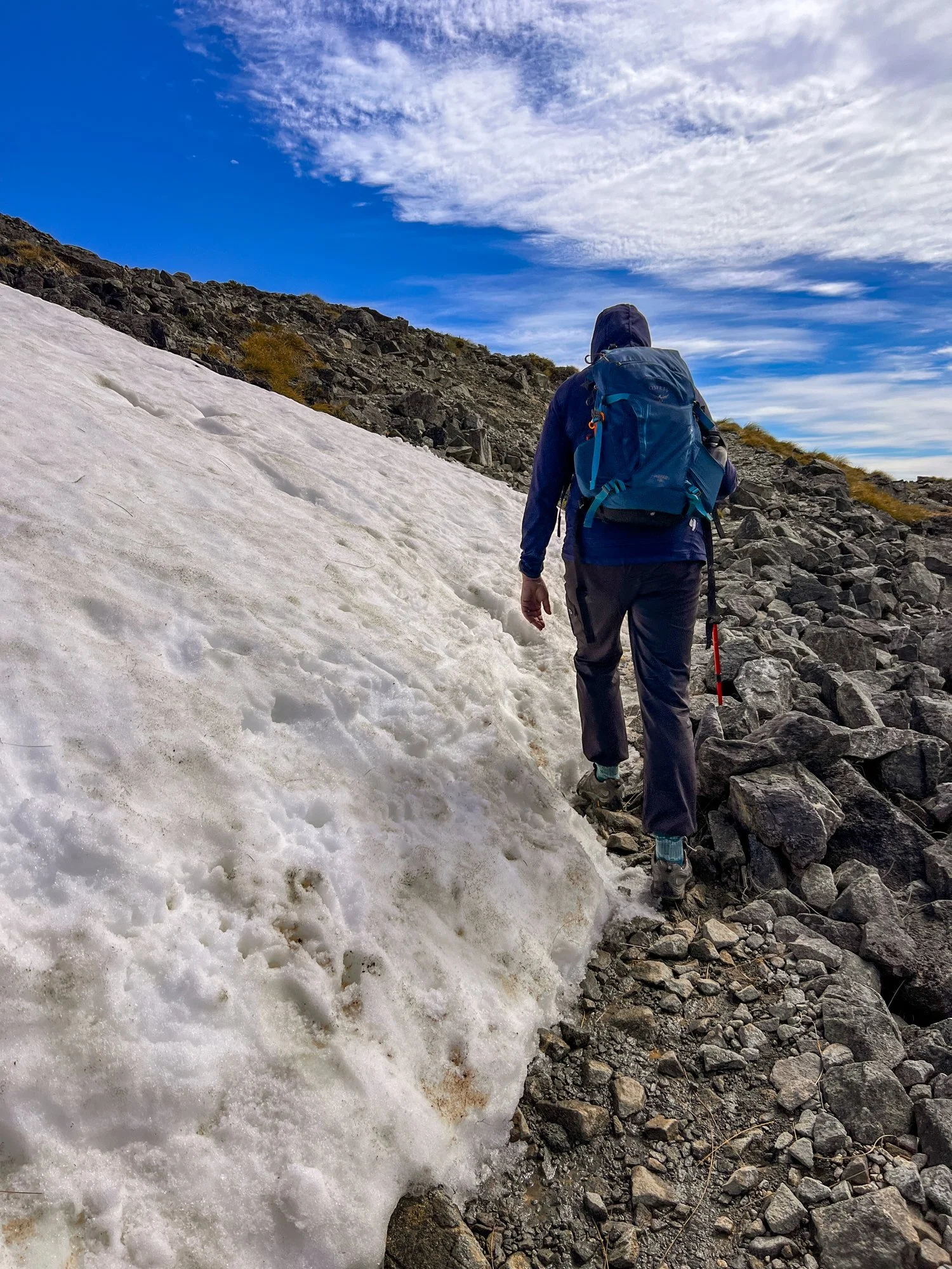
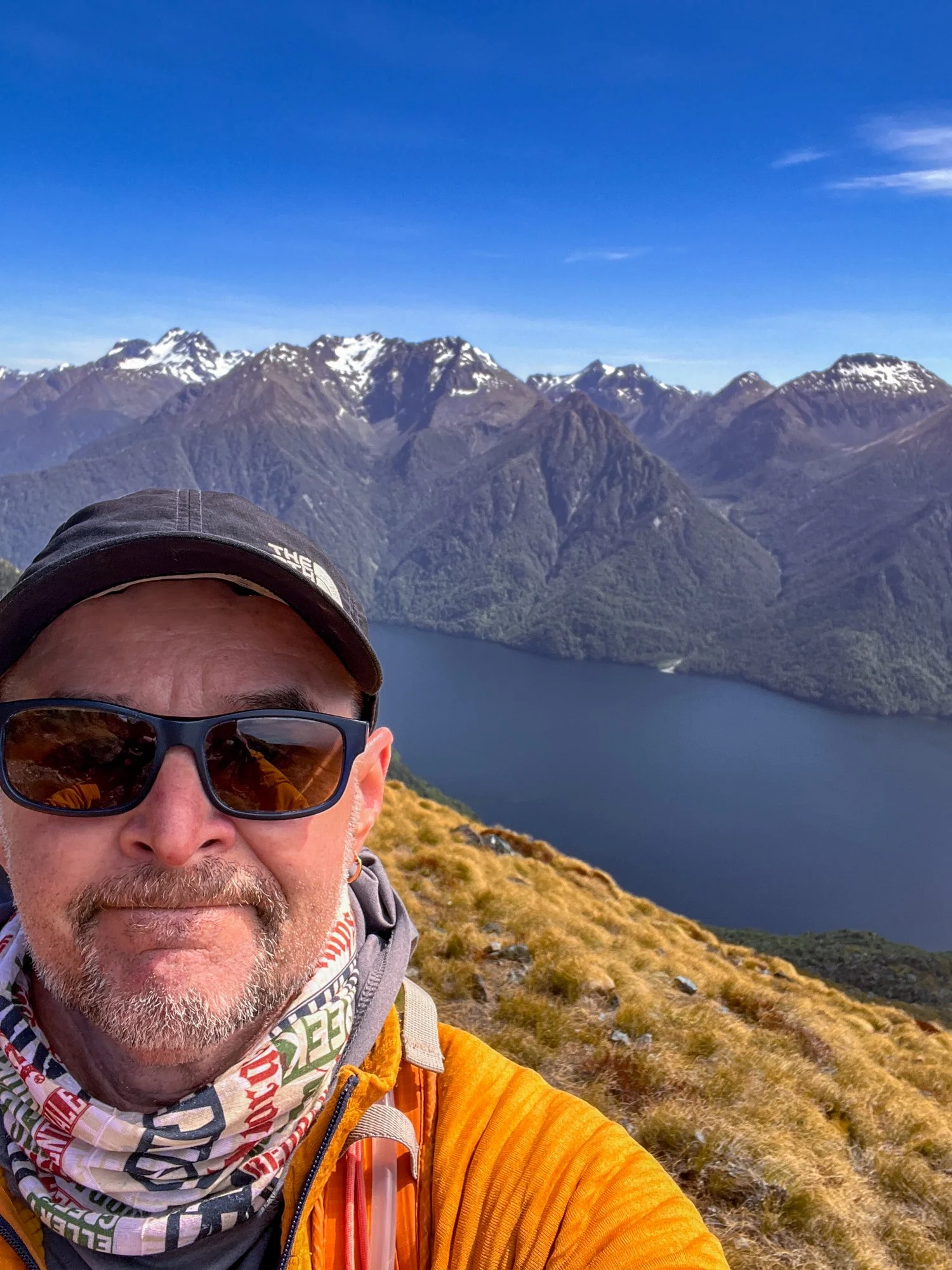
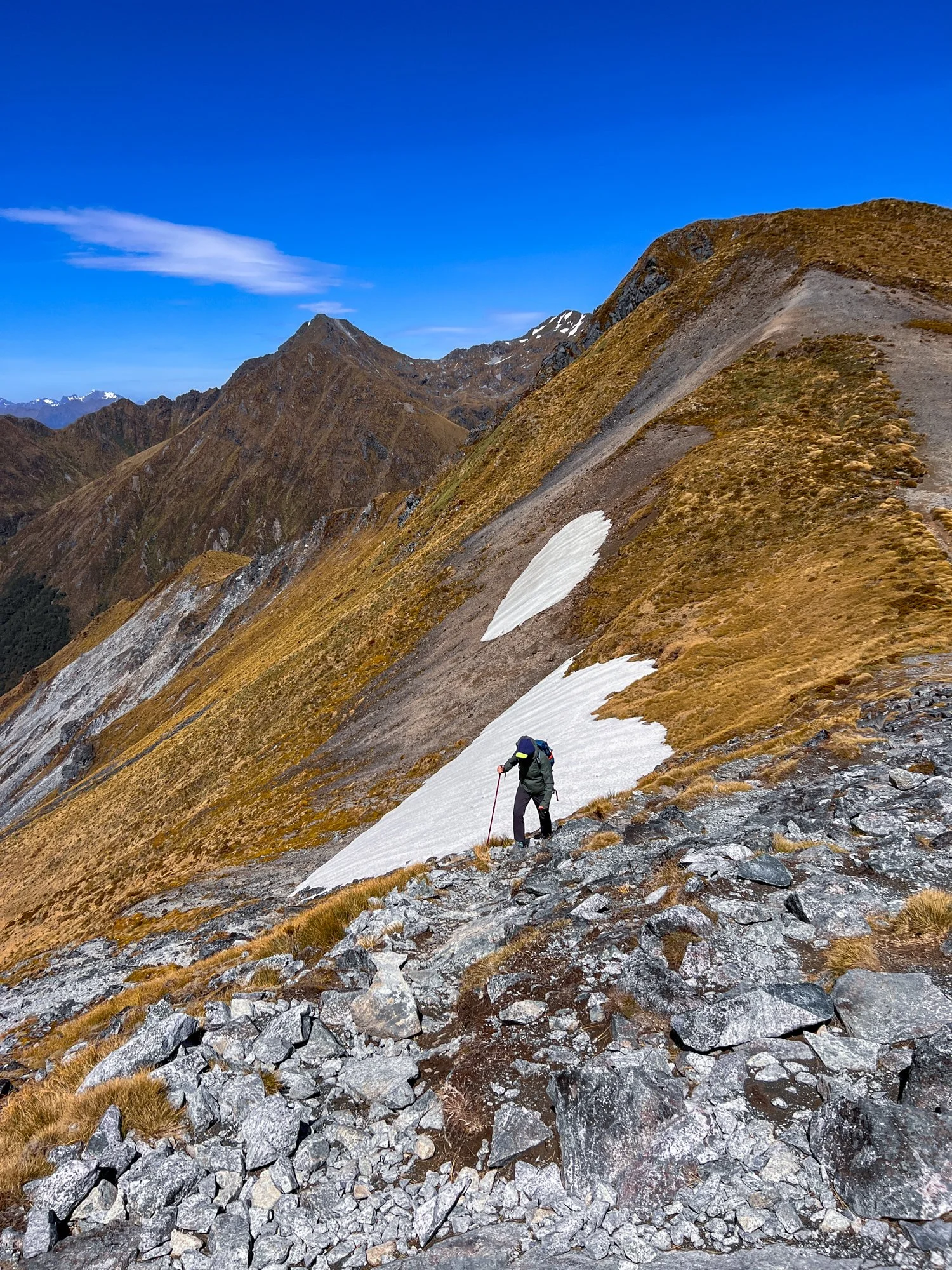
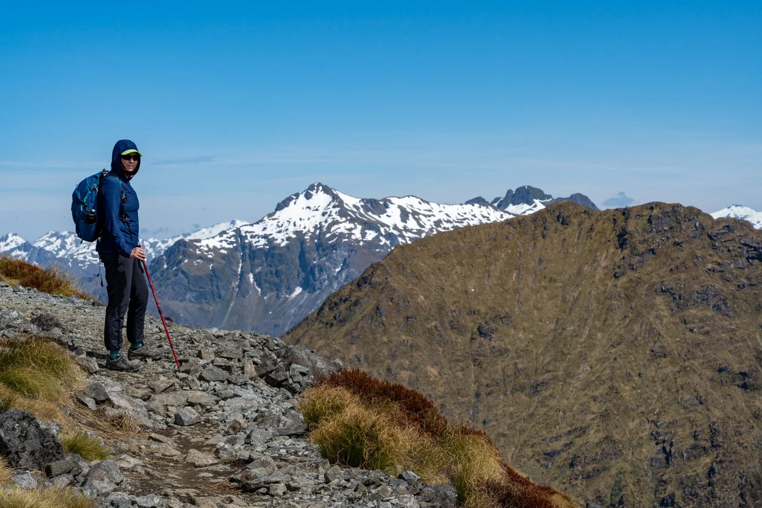
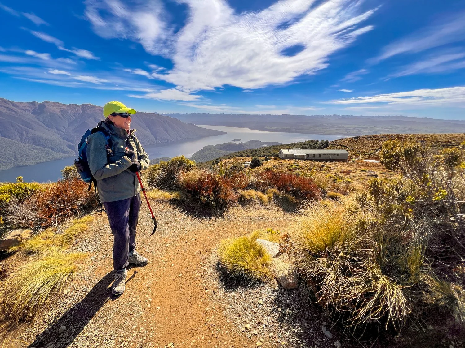
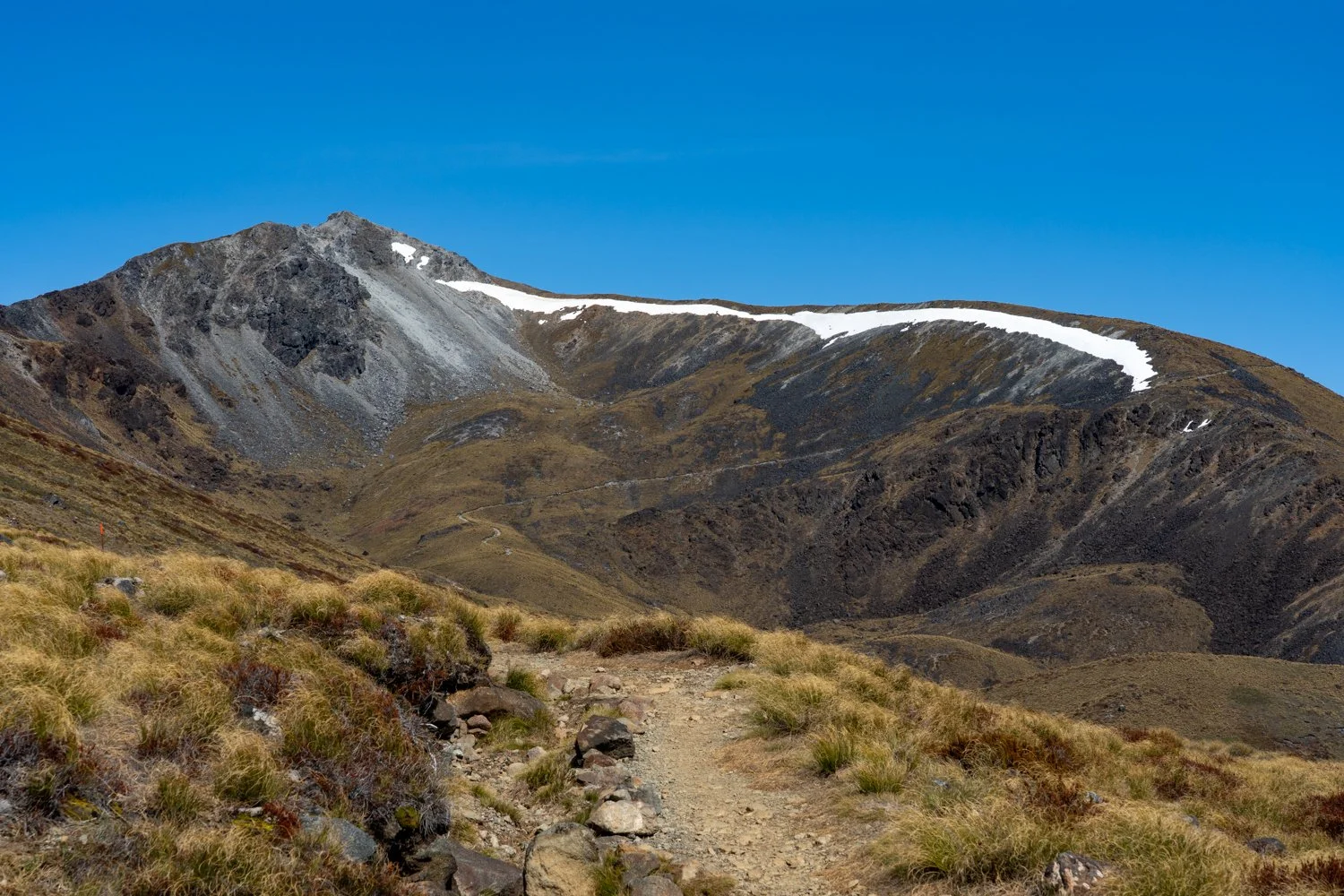
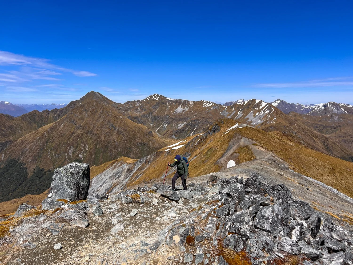
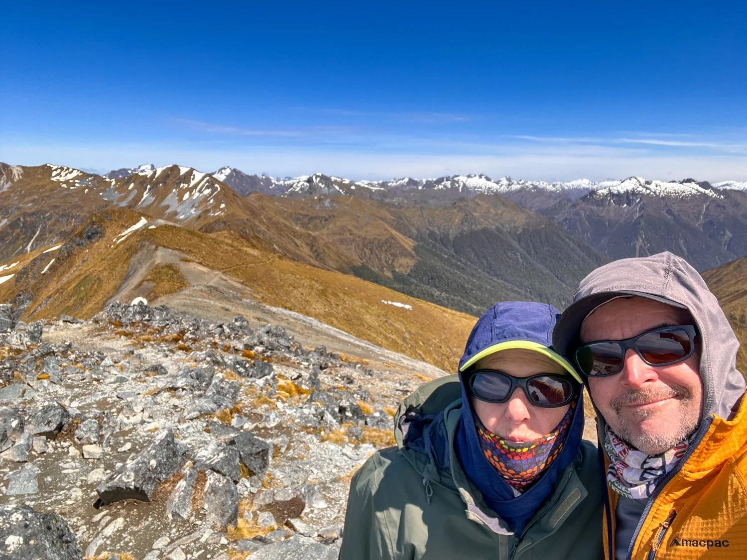
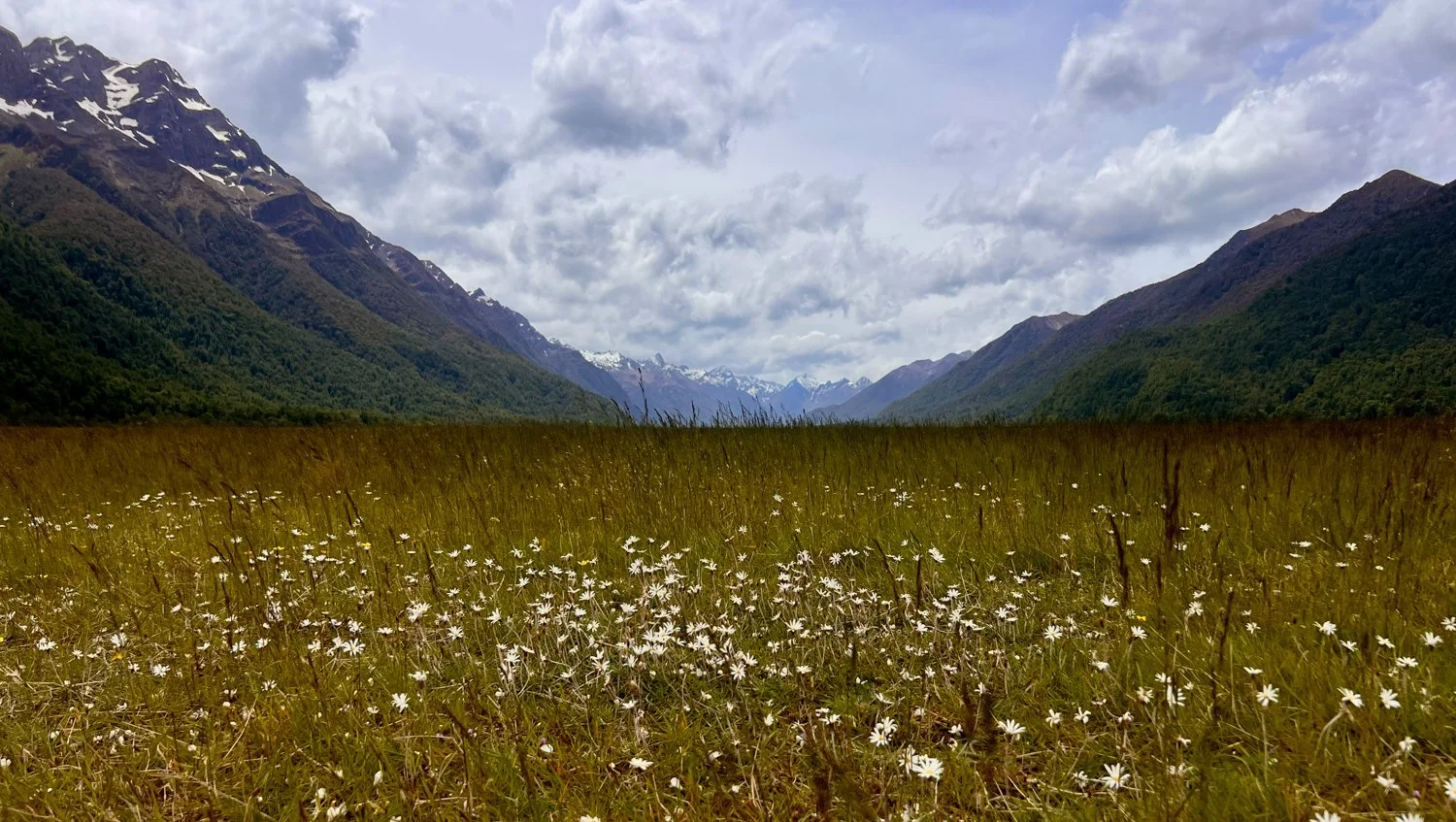
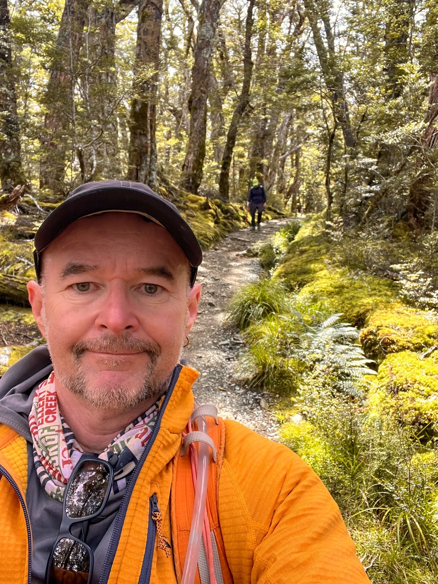
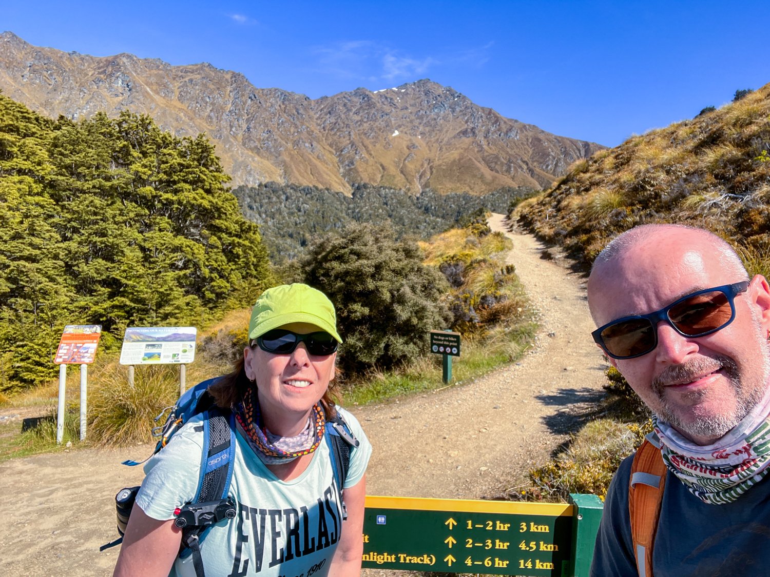
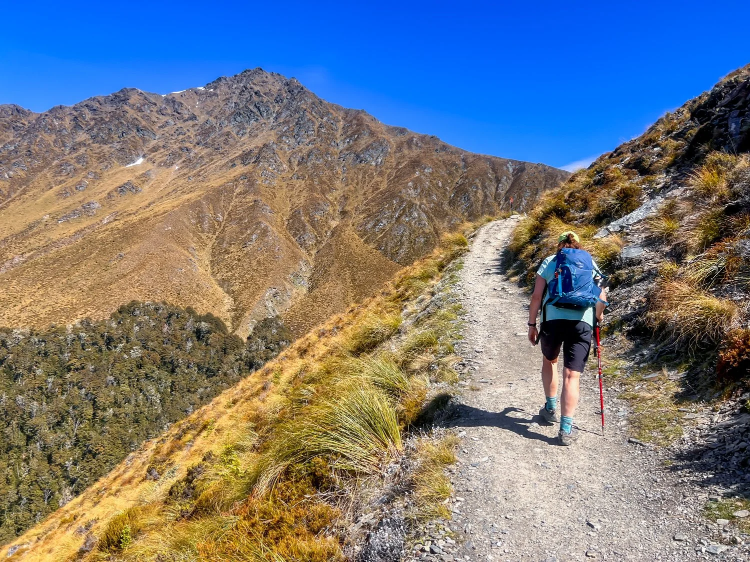
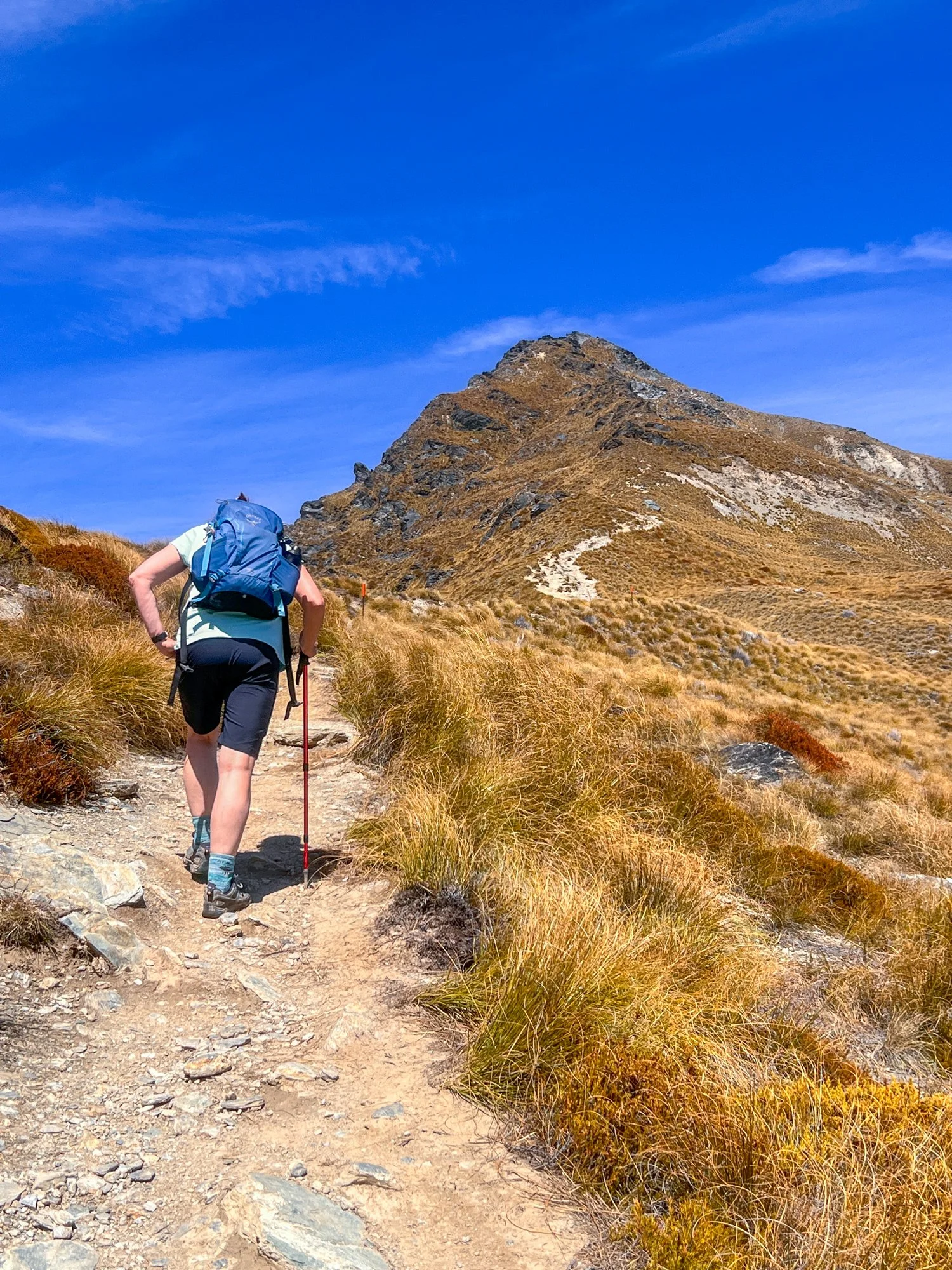
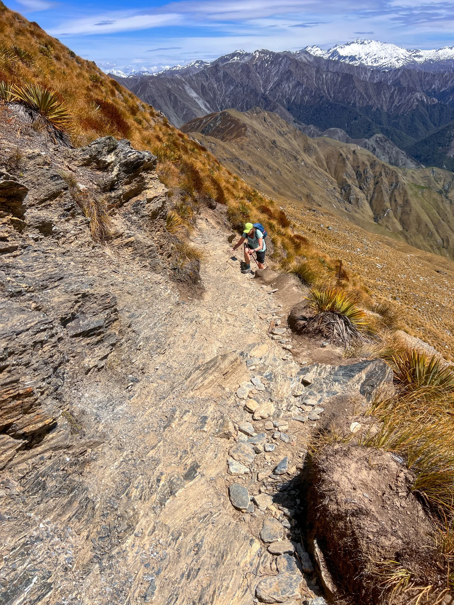
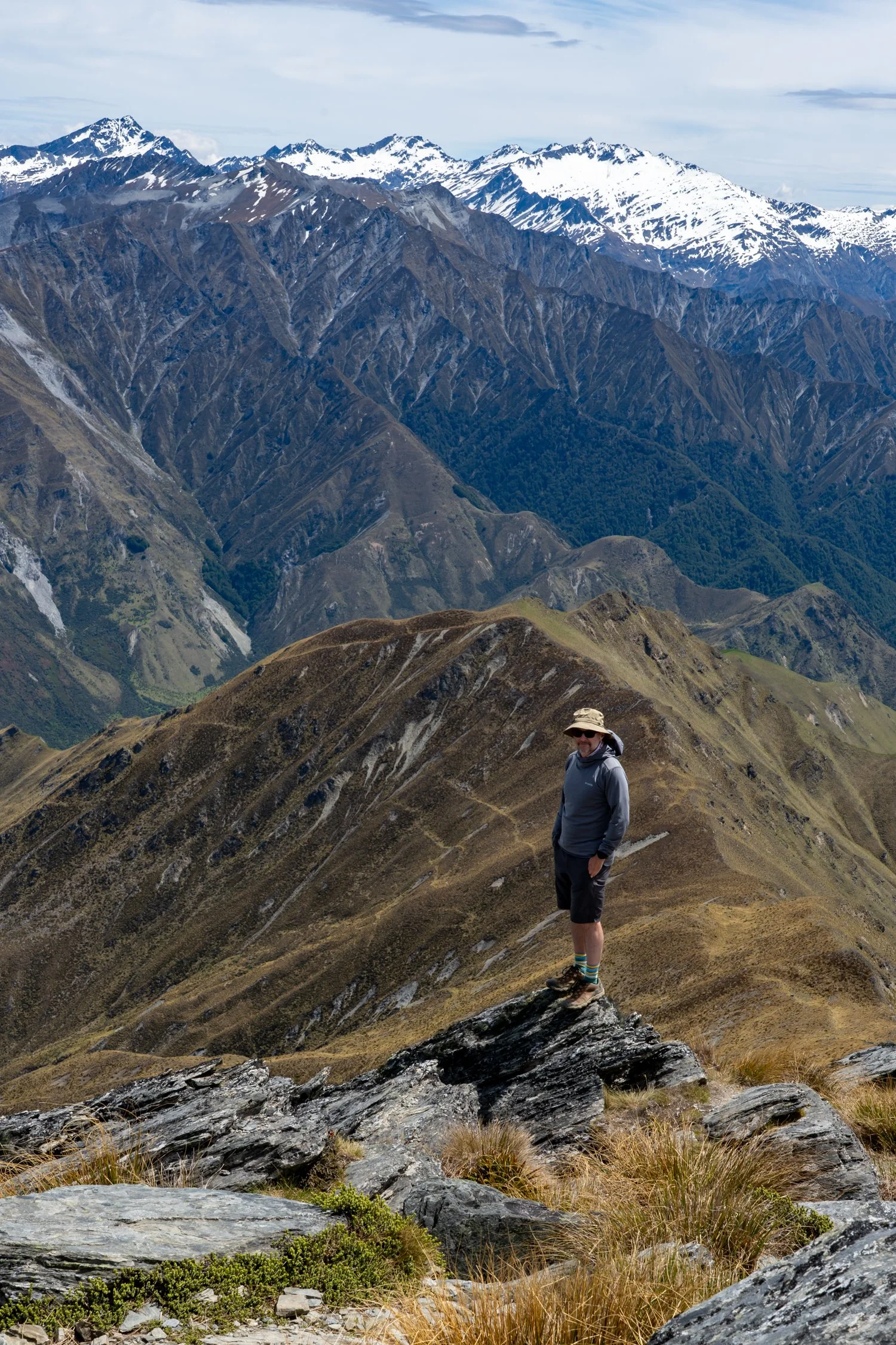
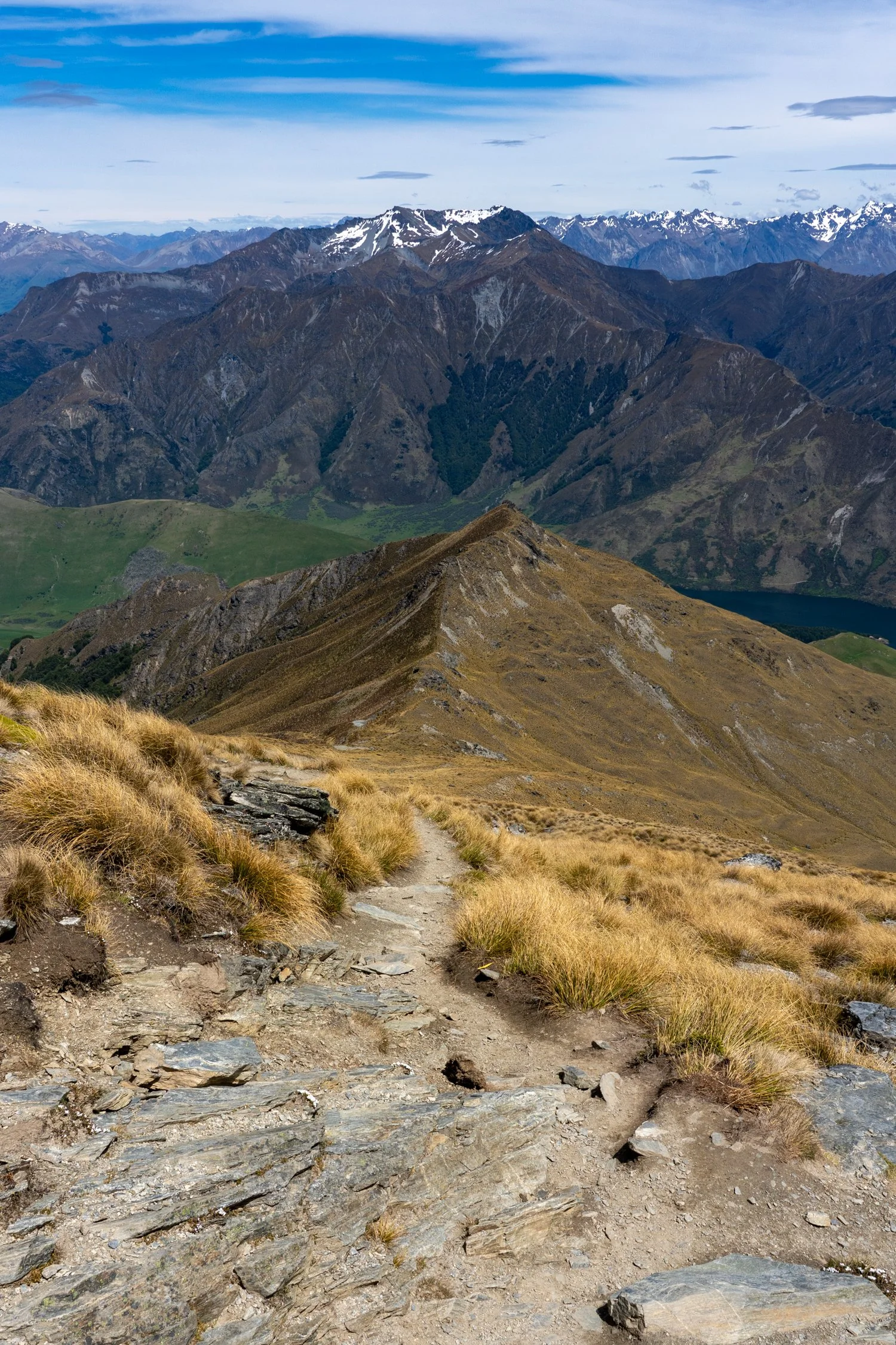
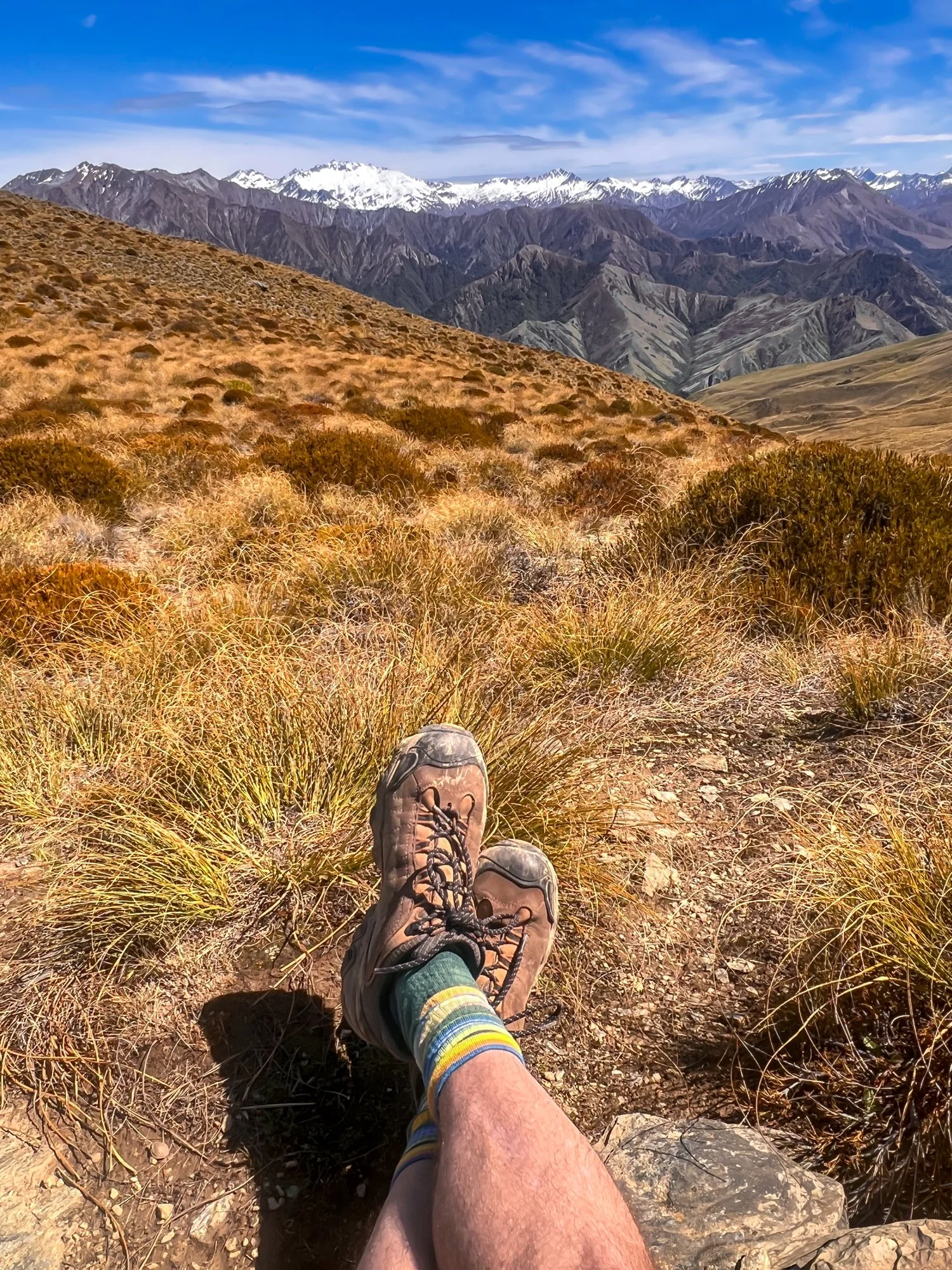
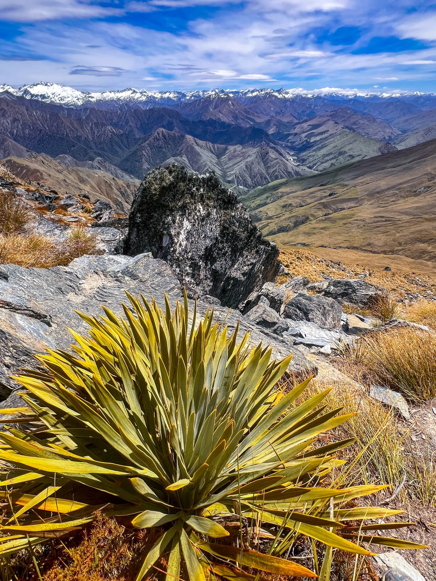
An early start the next morning saw us driving to Te Anau. But rather than easing into the day, we decided to leave early so we could climb a mountain — or at least most of one. A helicopter lifted us halfway up Mount Luxmore on the famous Kepler Track, leaving “only” a 16-kilometre hike to the summit and back.
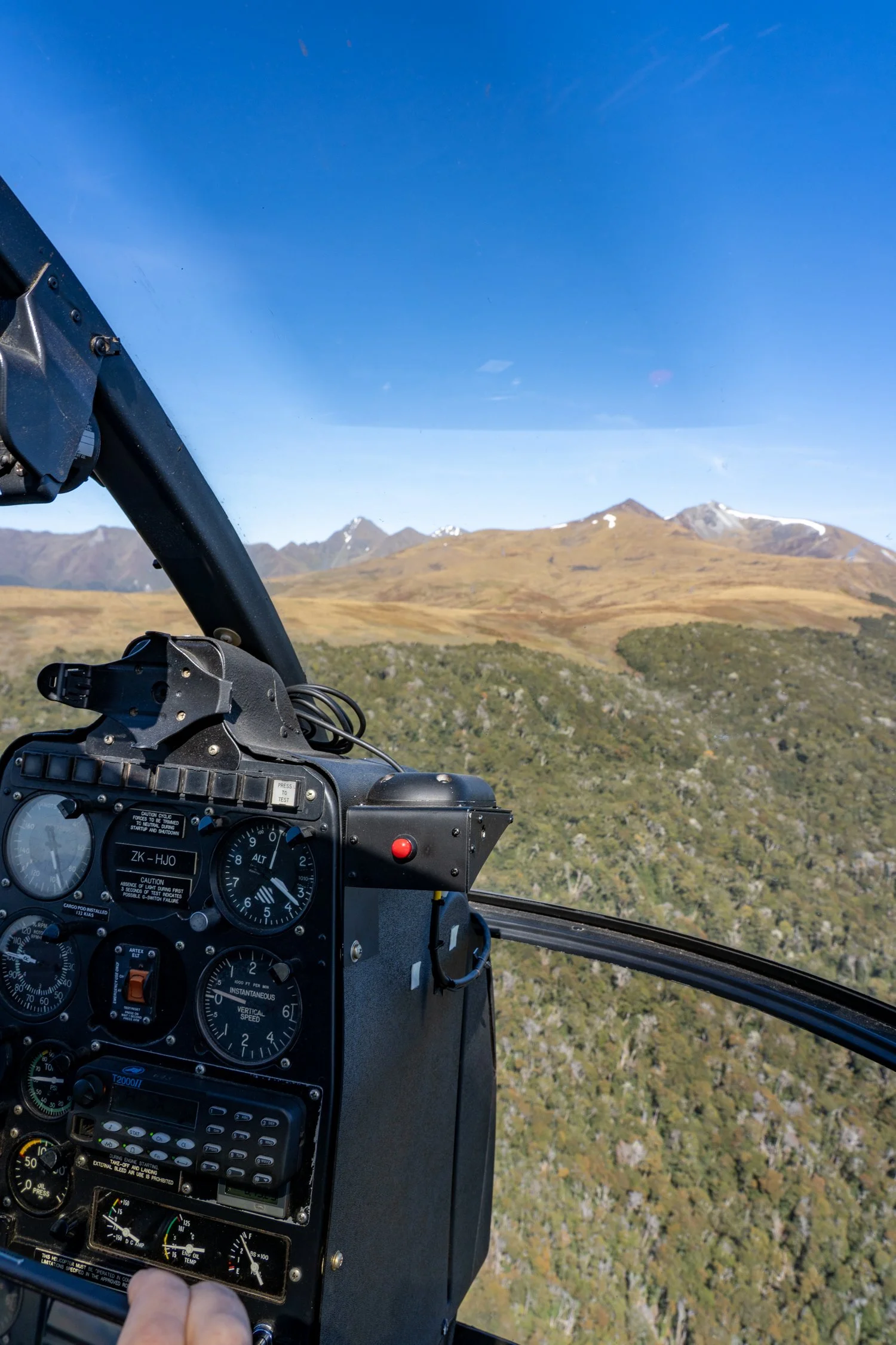
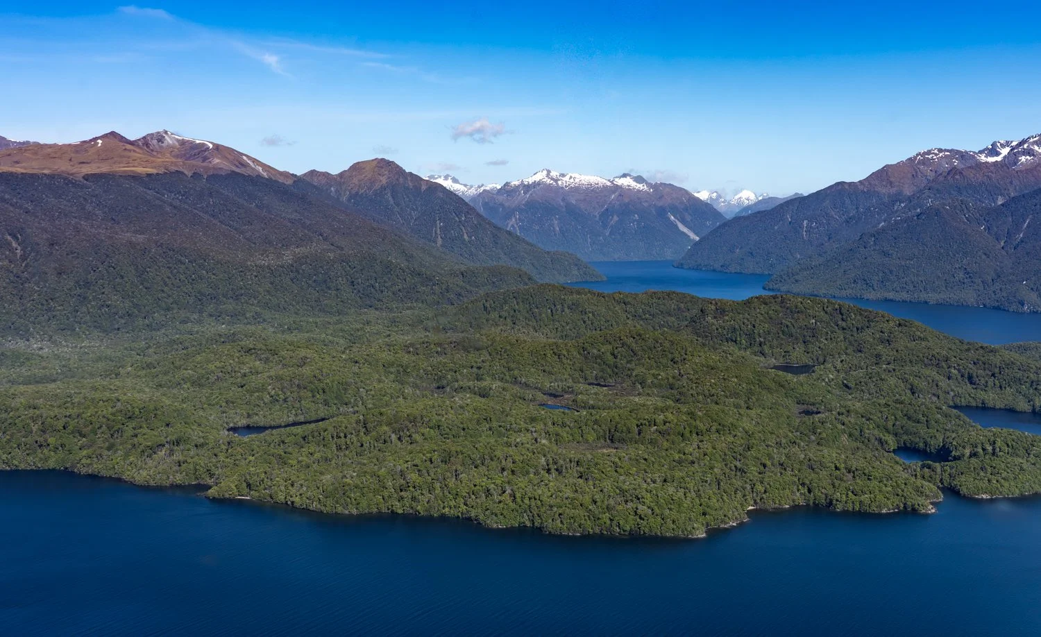
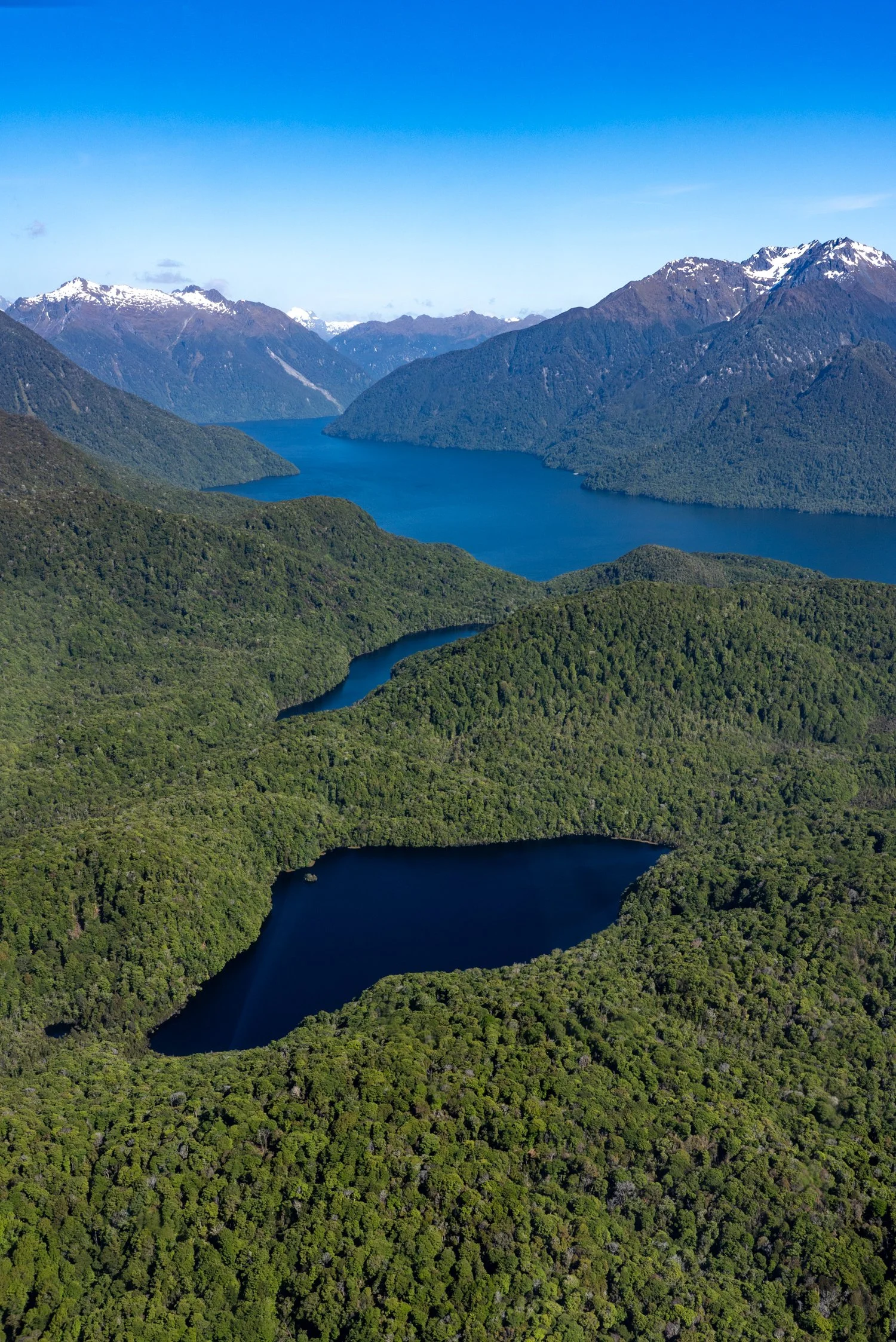
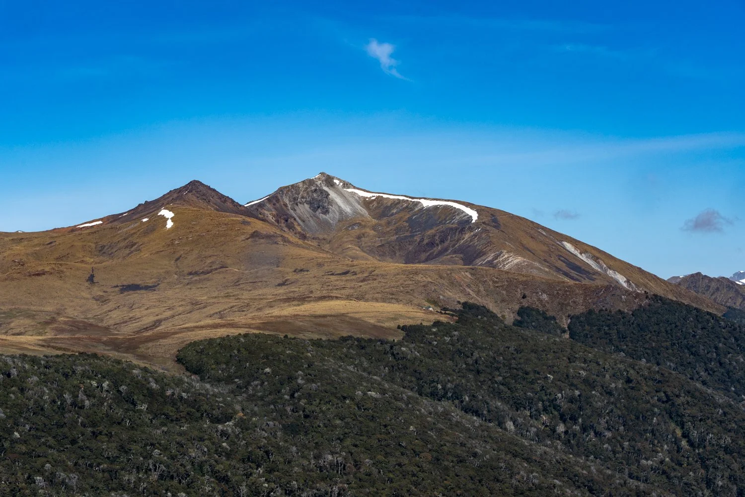
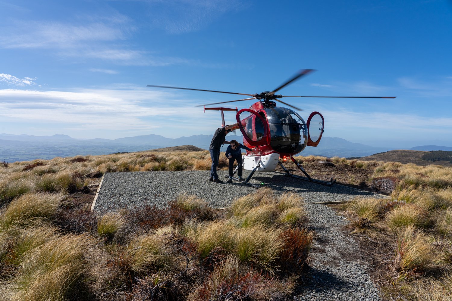
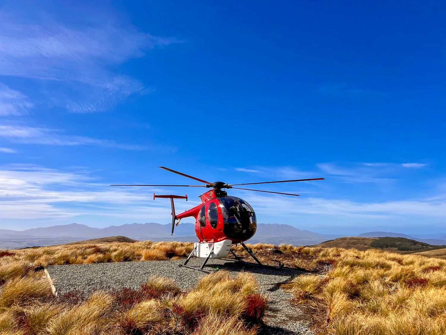
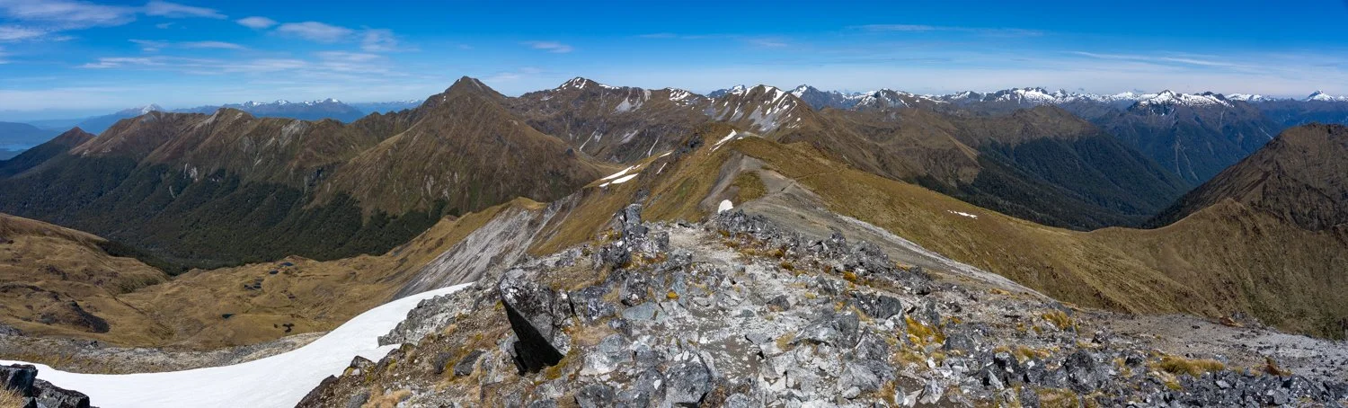
Even with the head start, it was a solid day on the legs, Landing into open alpine terrain where tussock grass and rocky ridgelines overlook the forest canopy below. From here the mountain reveals its true character — sweeping views across the vast wilderness of Fiordland, distant lakes scattered like mirrors among the mountains, and clouds drifting slowly across the valleys below. The final push to the summit requires a little extra effort, but standing on top makes every step worthwhile.
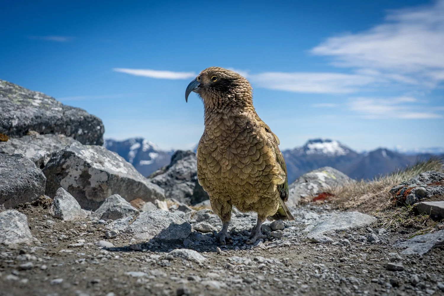
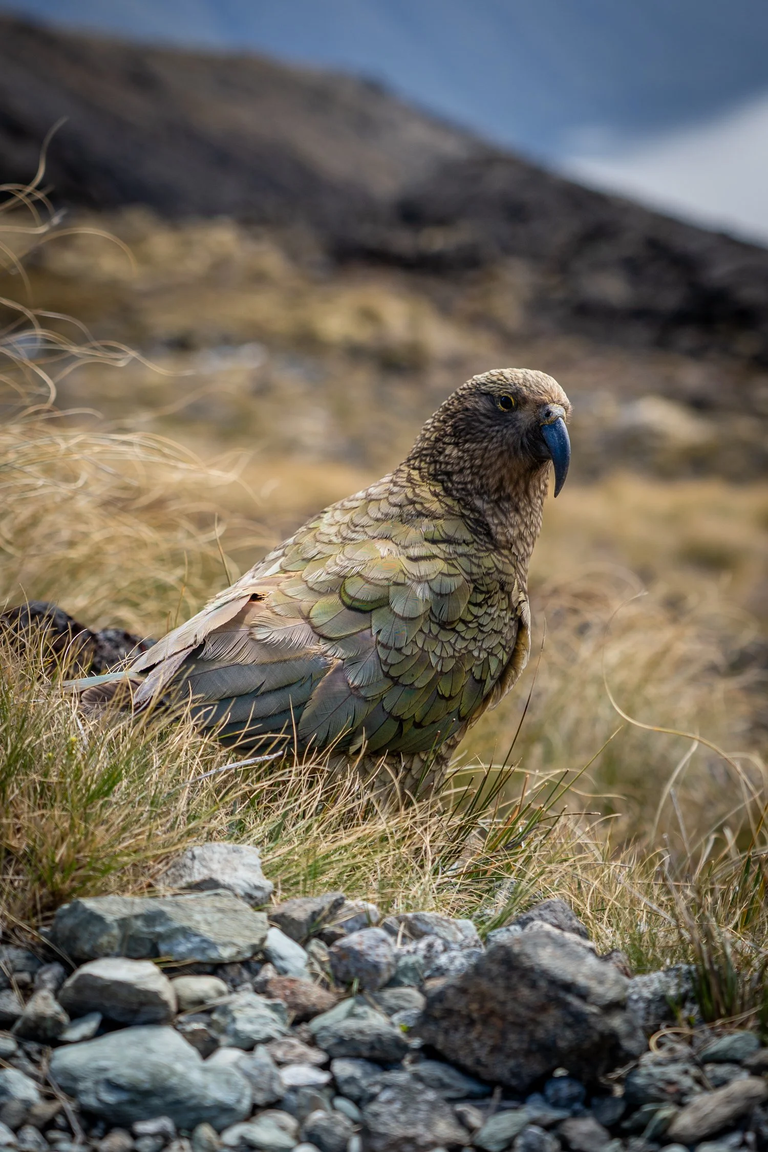
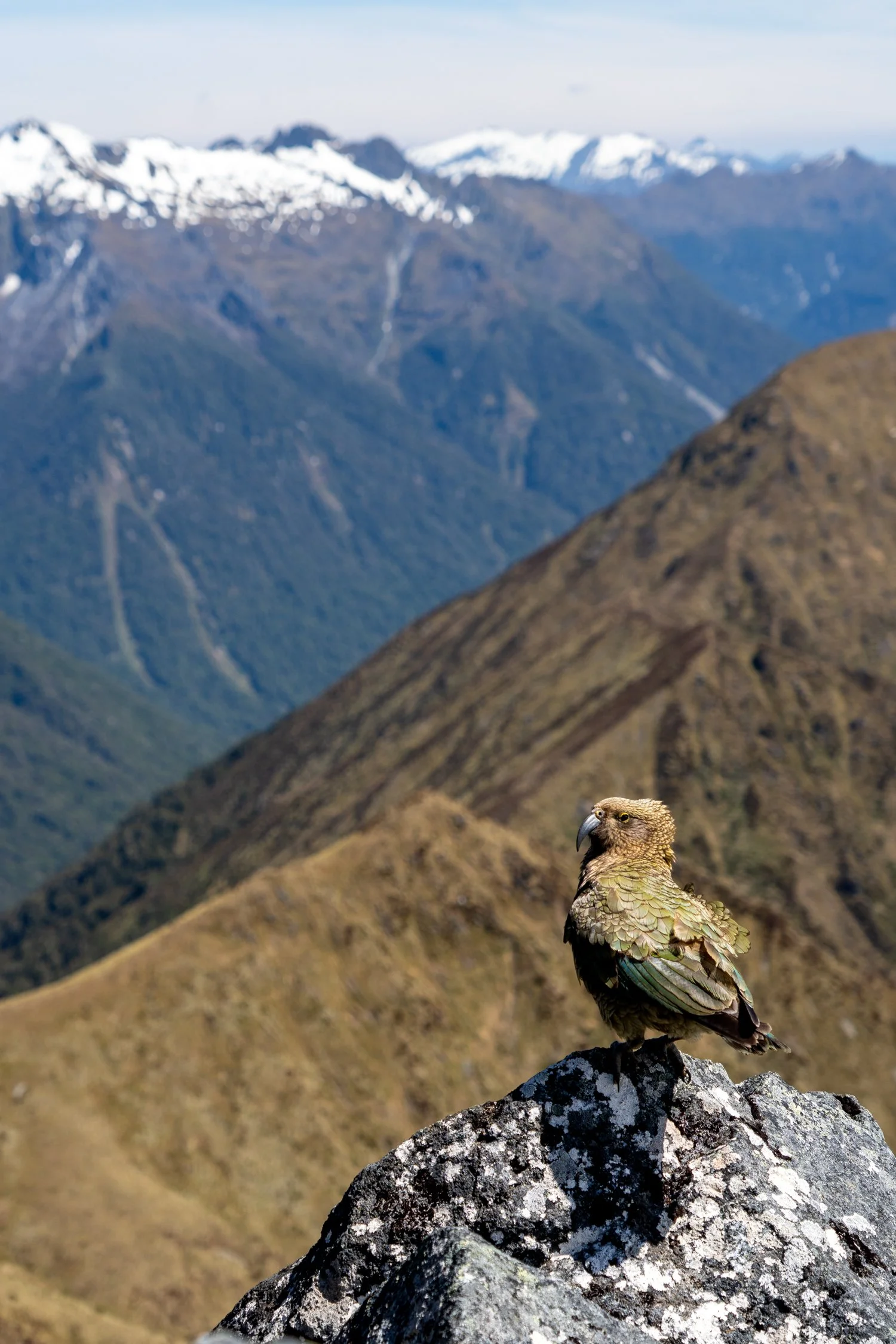
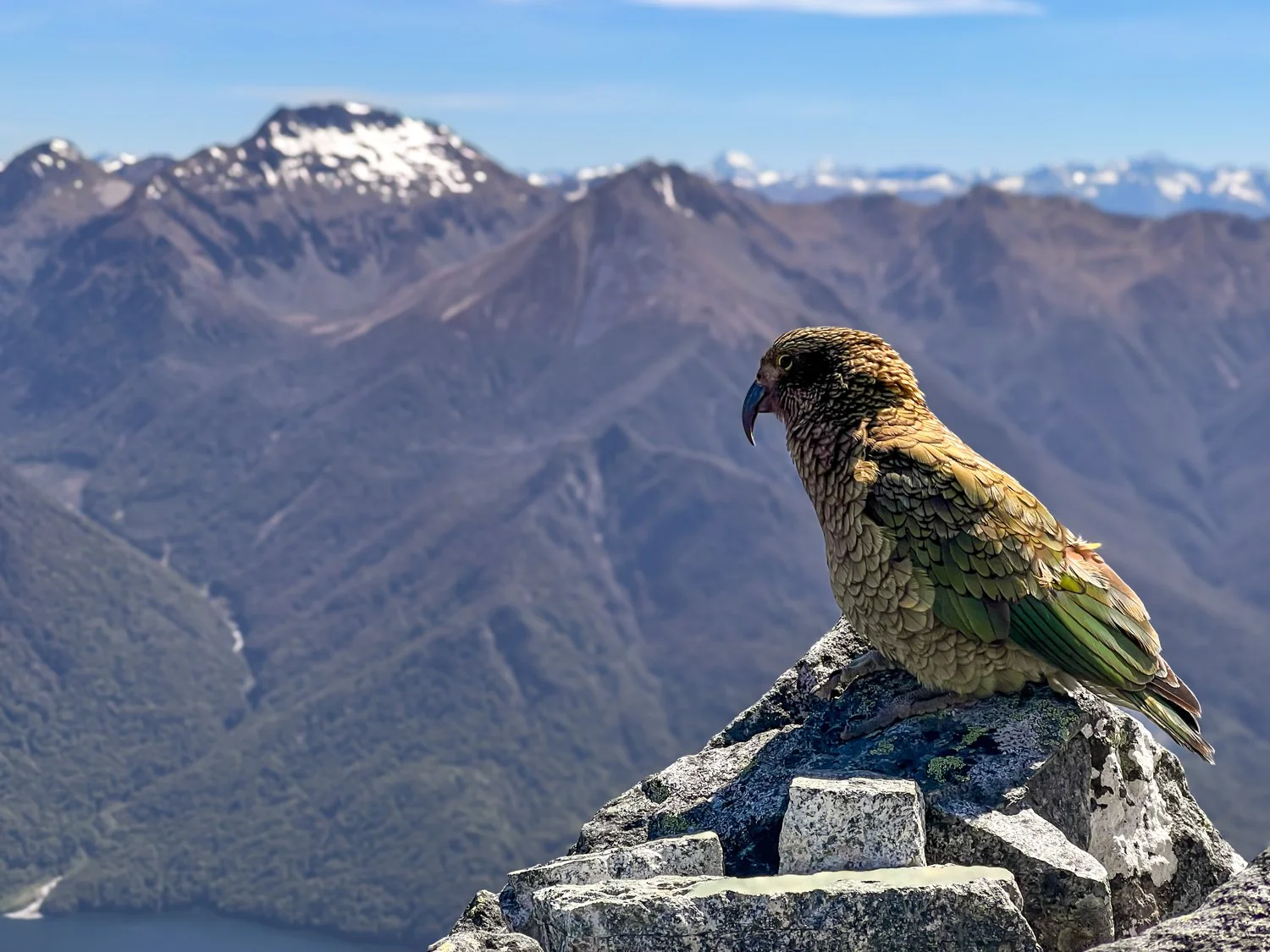
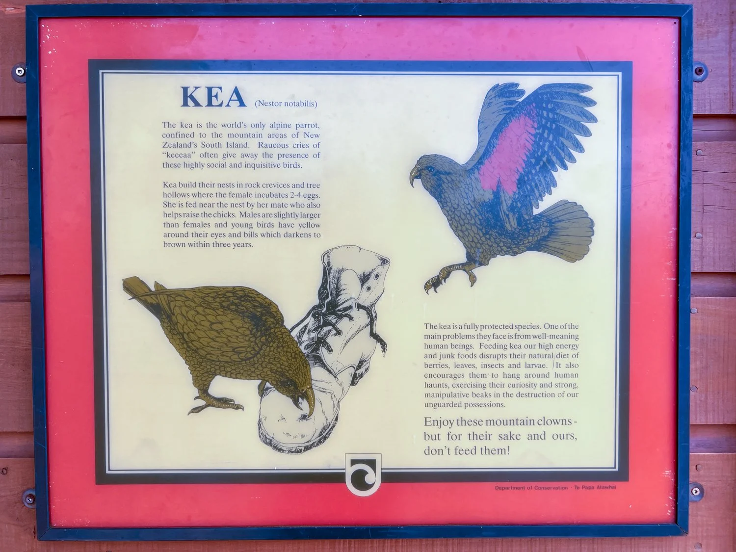
Along the trail we encountered one of the region’s most entertaining residents: the kea. Not the Kia car — although both are known for their mischievous tendencies. The Kea is a highly intelligent alpine parrot with a reputation for curiosity and petty theft. They’ve been known to unzip backpacks, dismantle windscreen wipers and help themselves to unattended lunches. Watching them inspect hikers with the enthusiasm of a customs officer searching luggage is both amusing and slightly concerning.
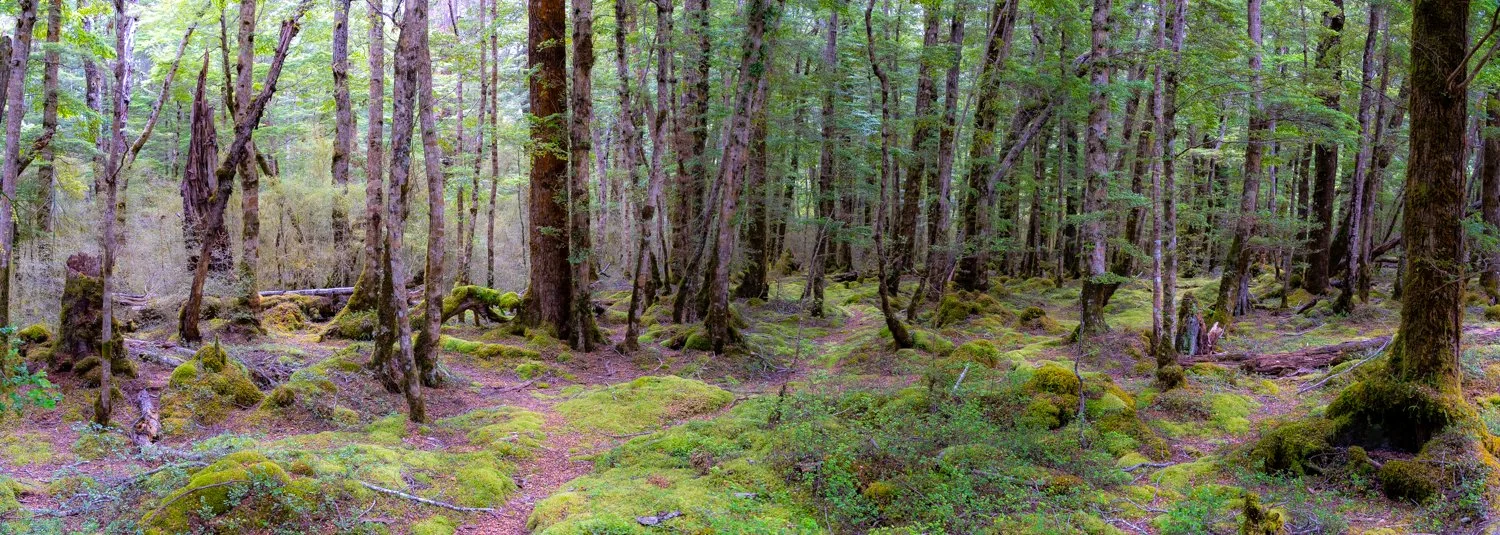
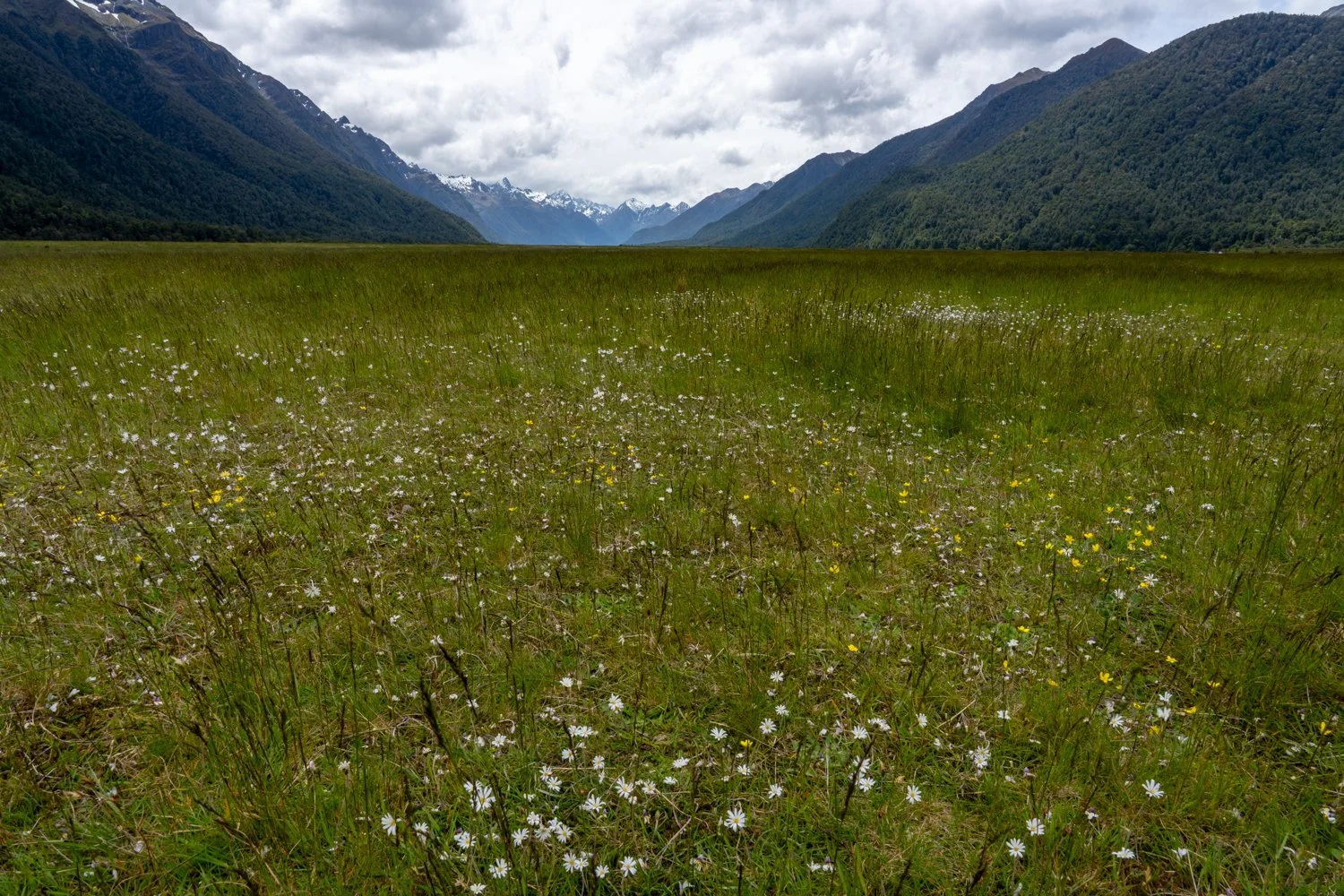
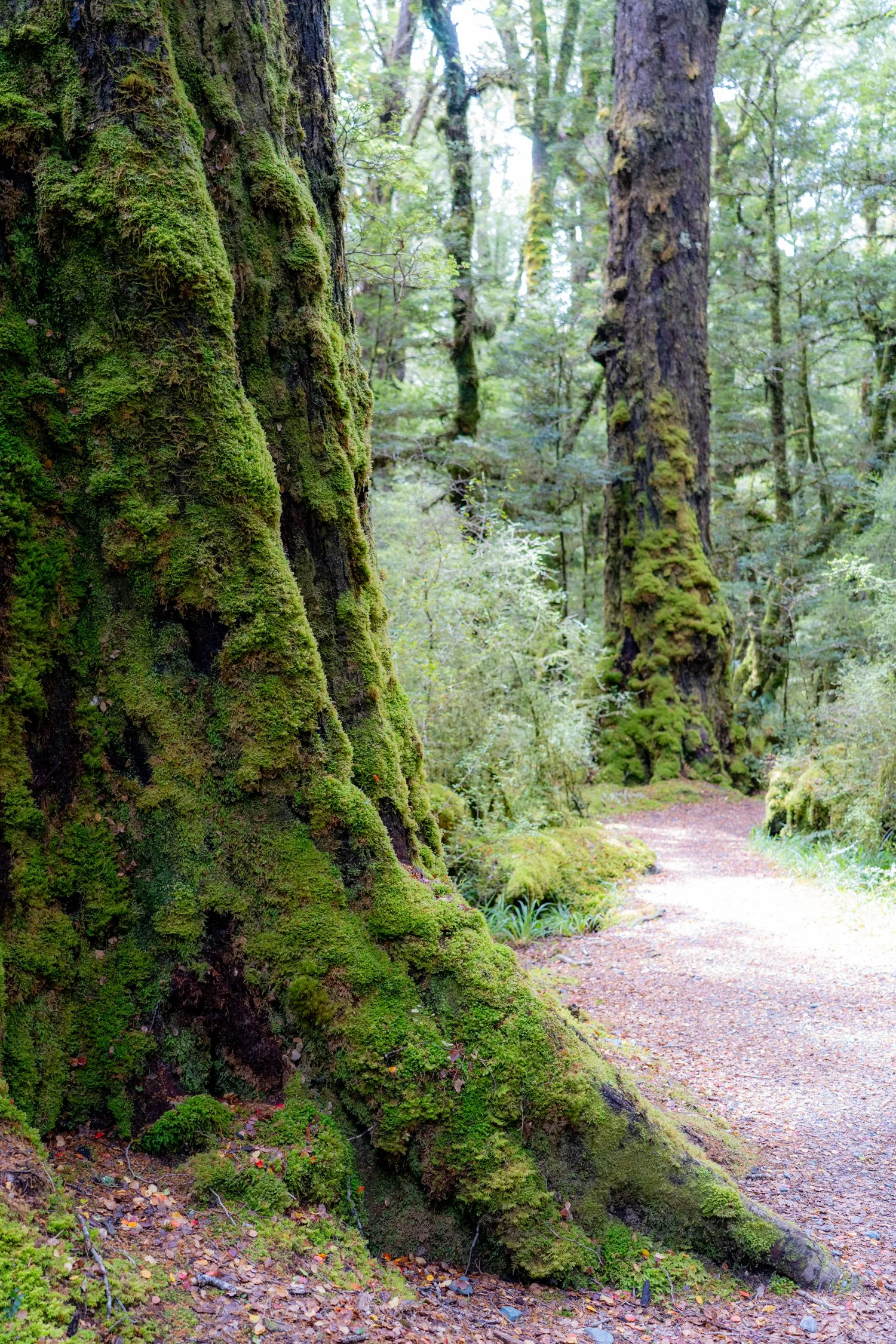
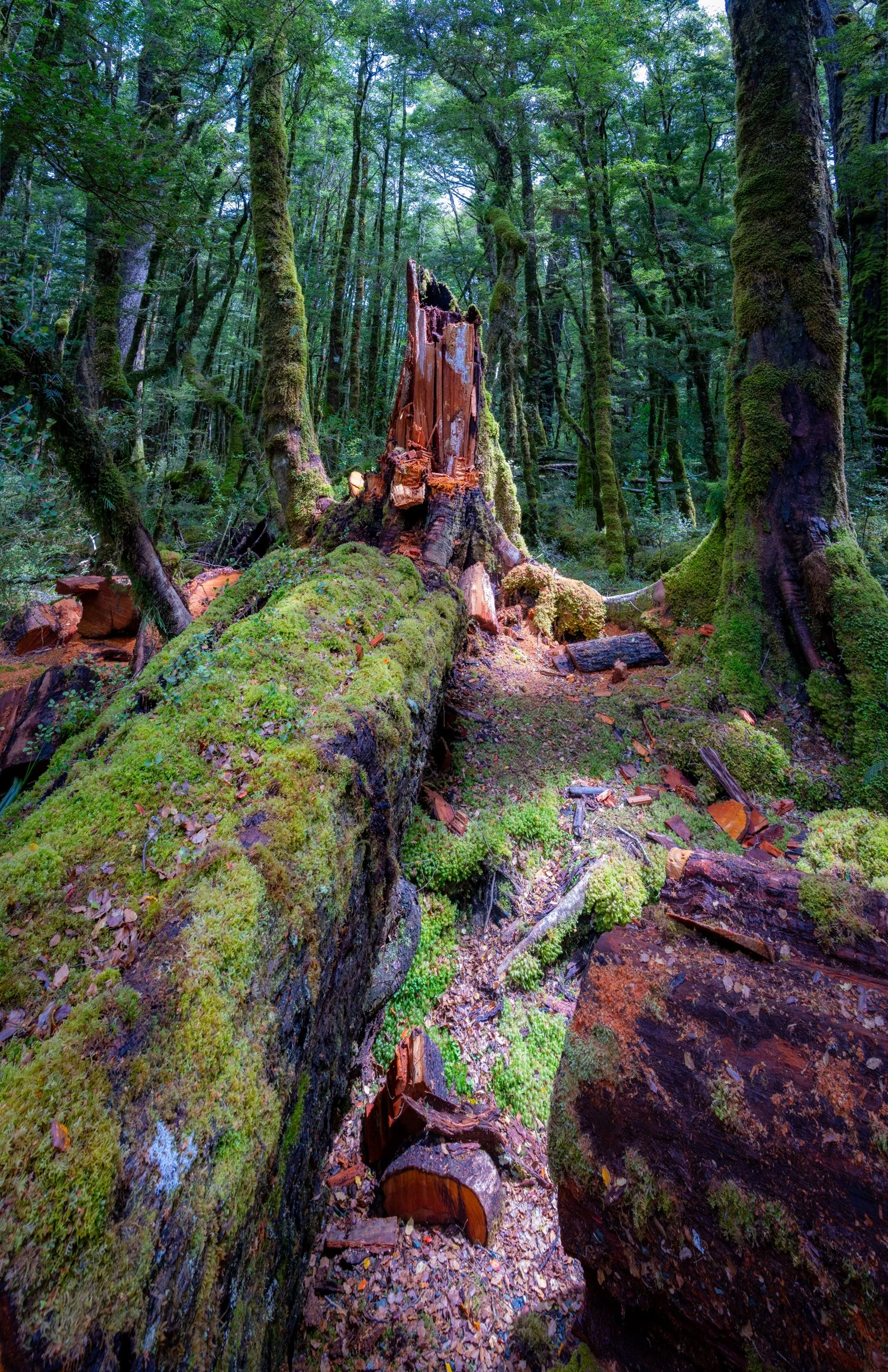
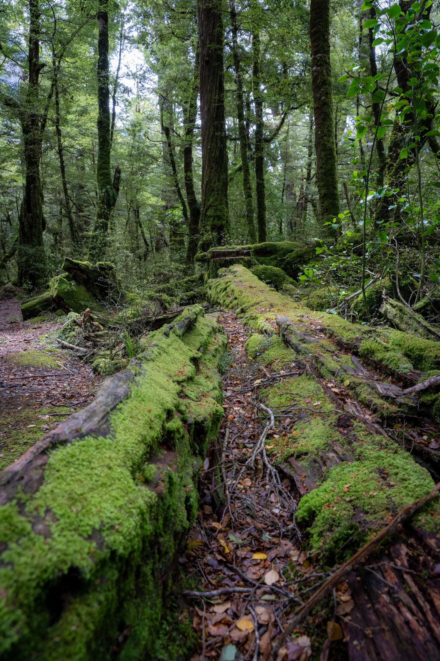
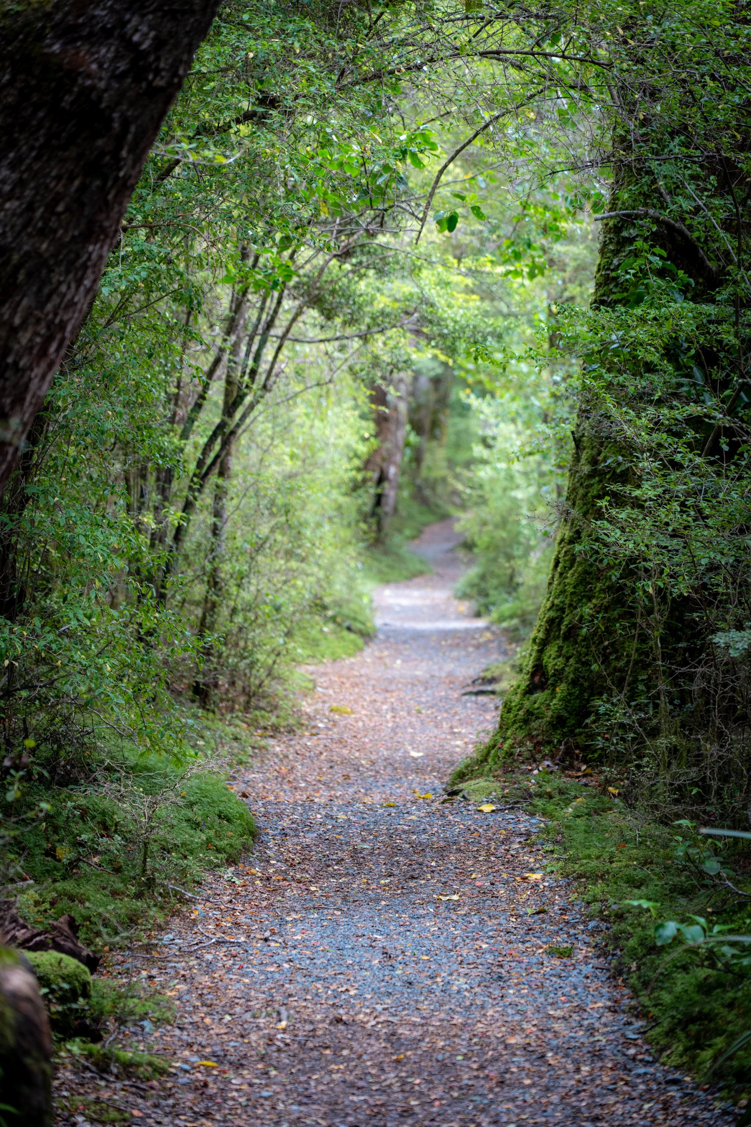
The following day we actually honoured the concept of rest. A sleep-in was followed by a massage and a leisurely scenic drive through Fiordland National Park. Light drizzle hung in the air — not enough to deter exploration. At Mirror Lakes the famous reflections were slightly blurred by wind, creating more of an impressionist painting than a perfect mirror. We continued through the sweeping grasslands of Eglinton Valley before stretching our legs on the Lake Gunn Nature Walk, a peaceful loop through red beech forest where towering trees filtered the soft afternoon light.
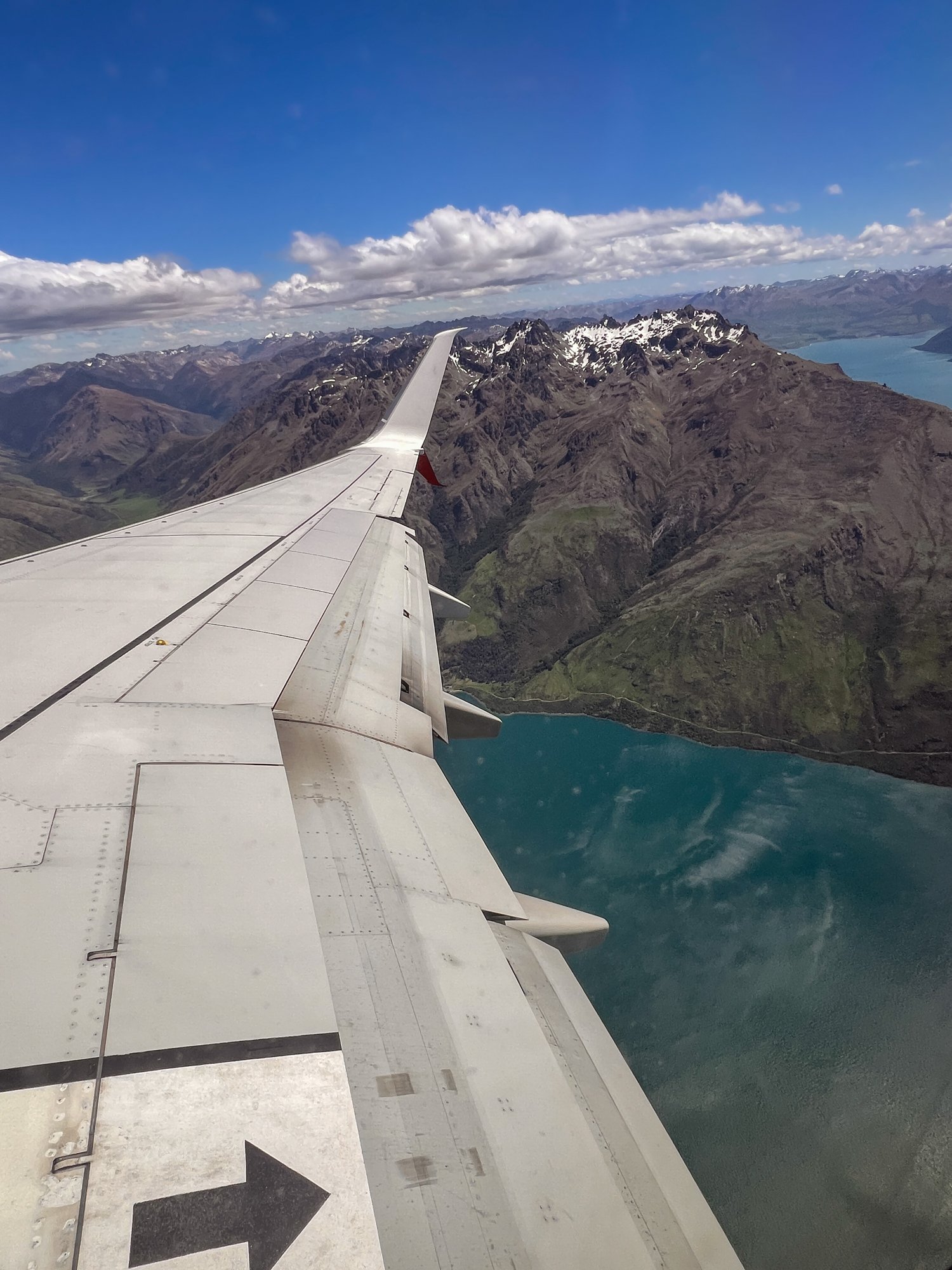
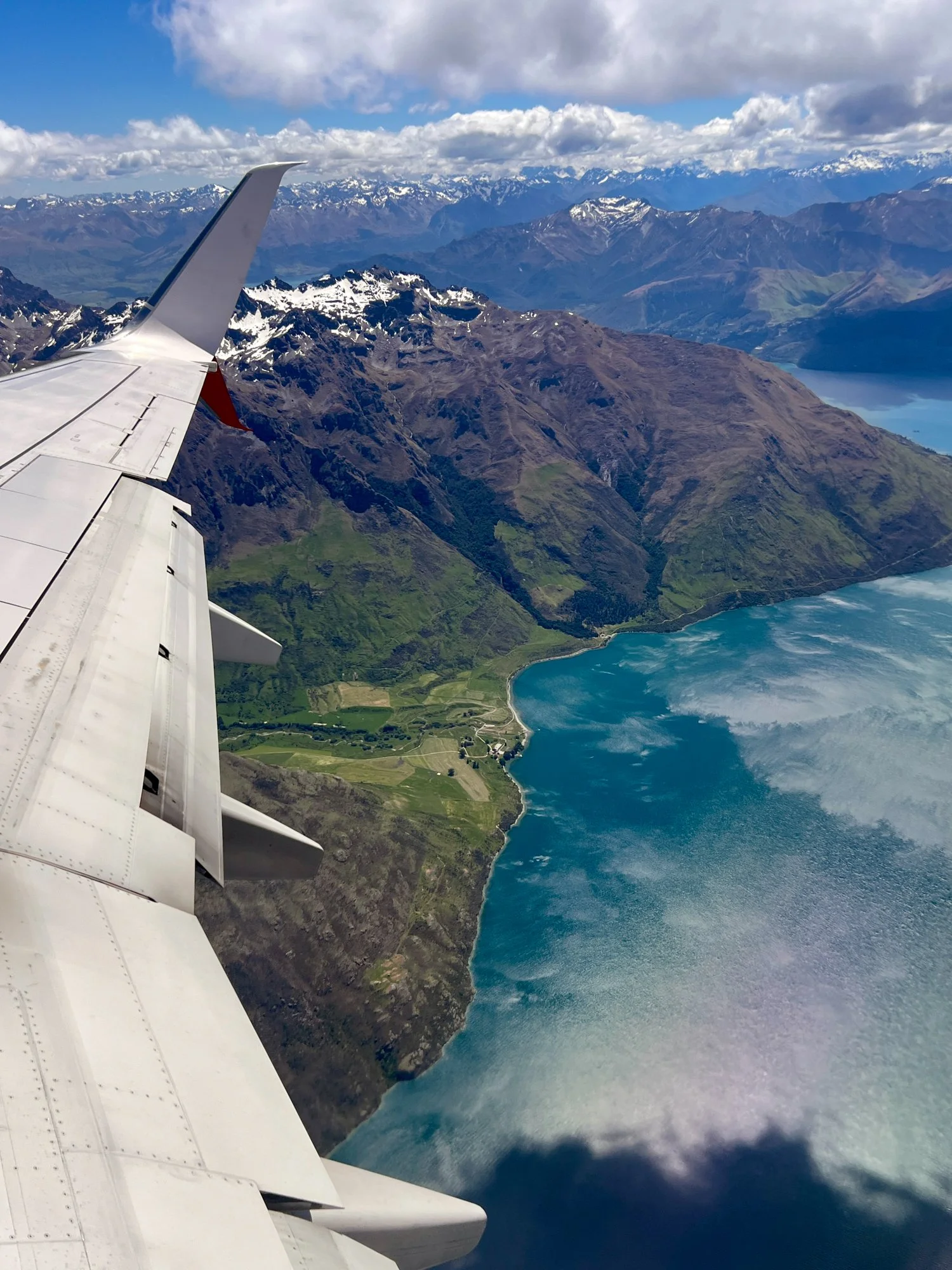
Te Anau to Queenstown
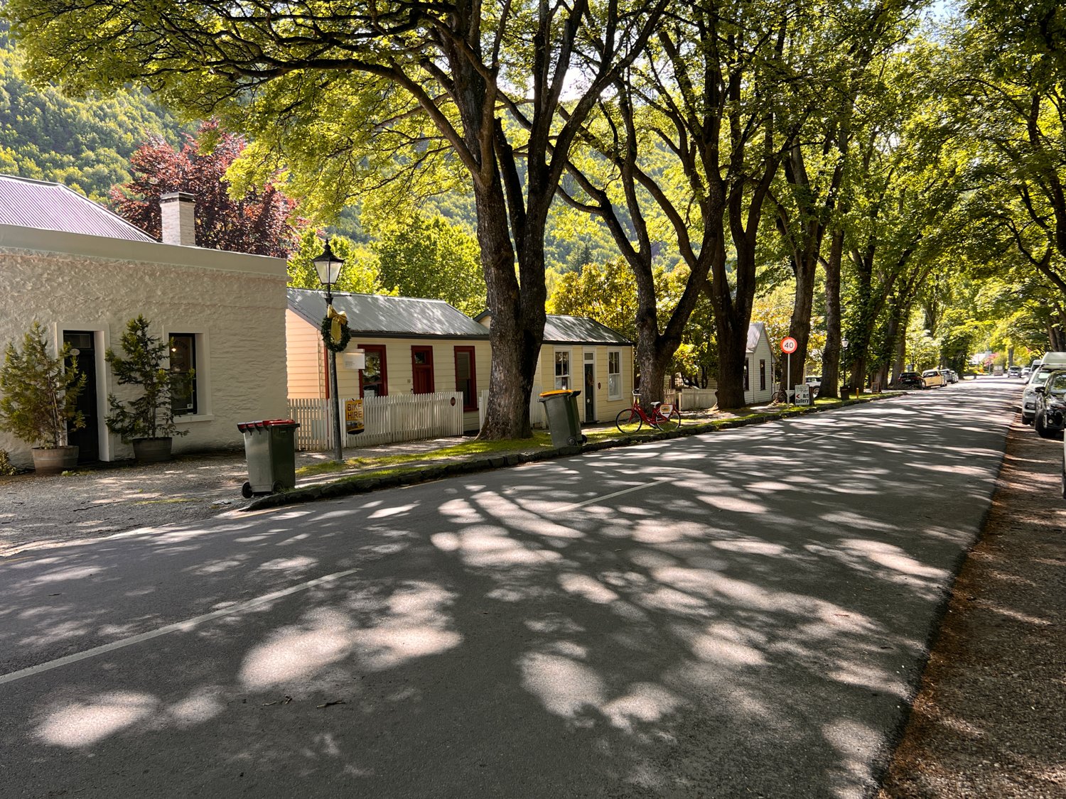
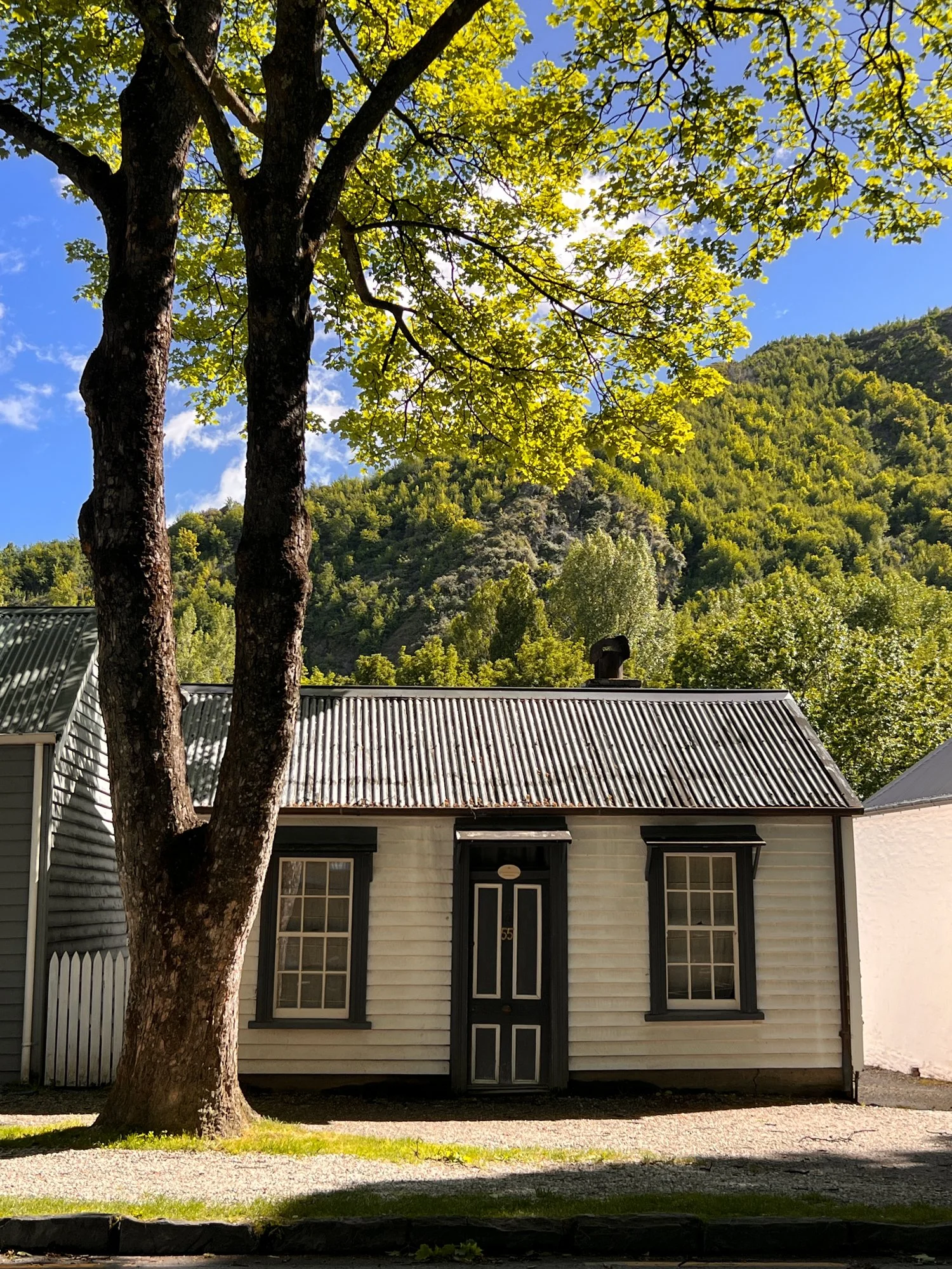
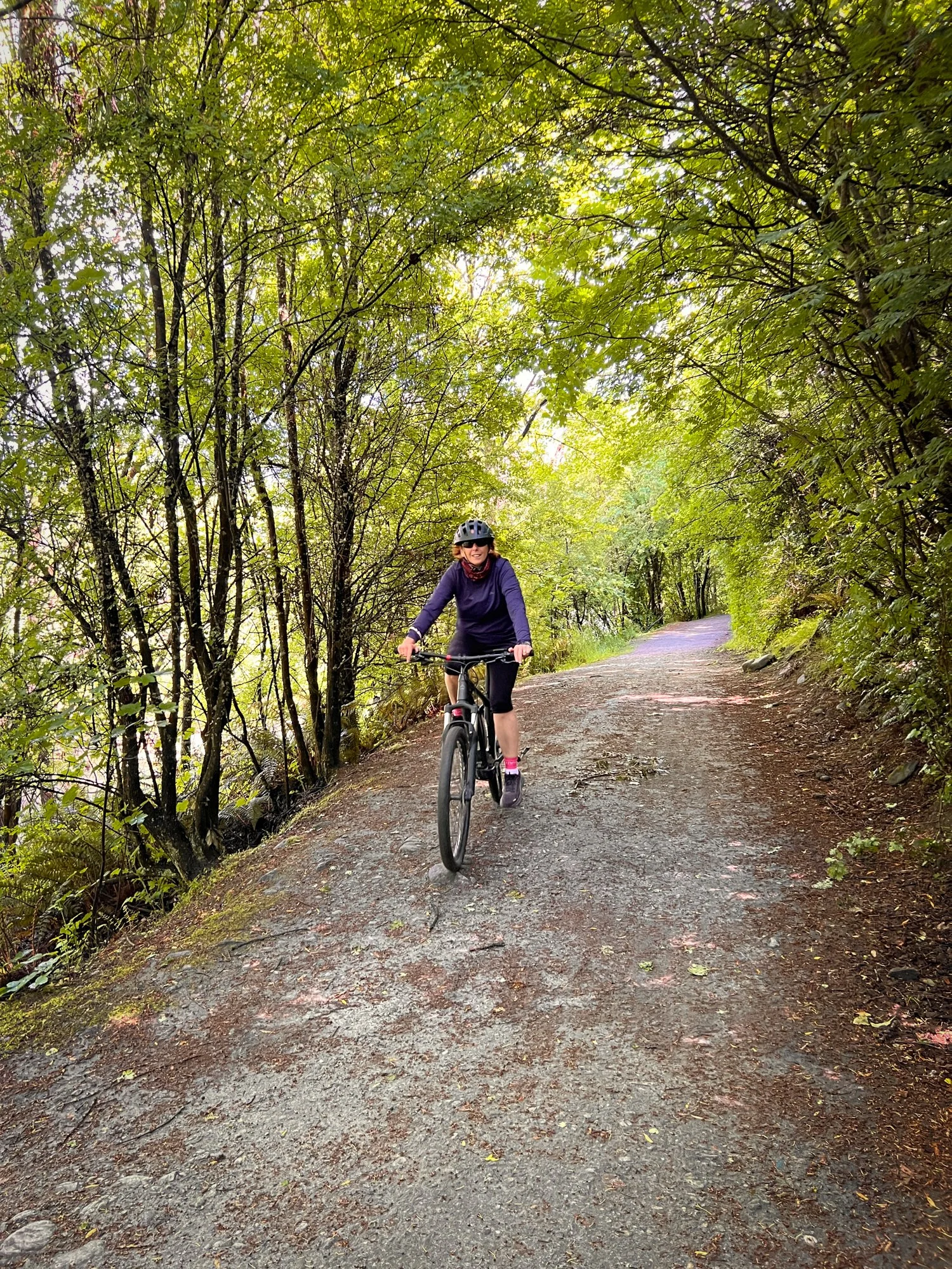
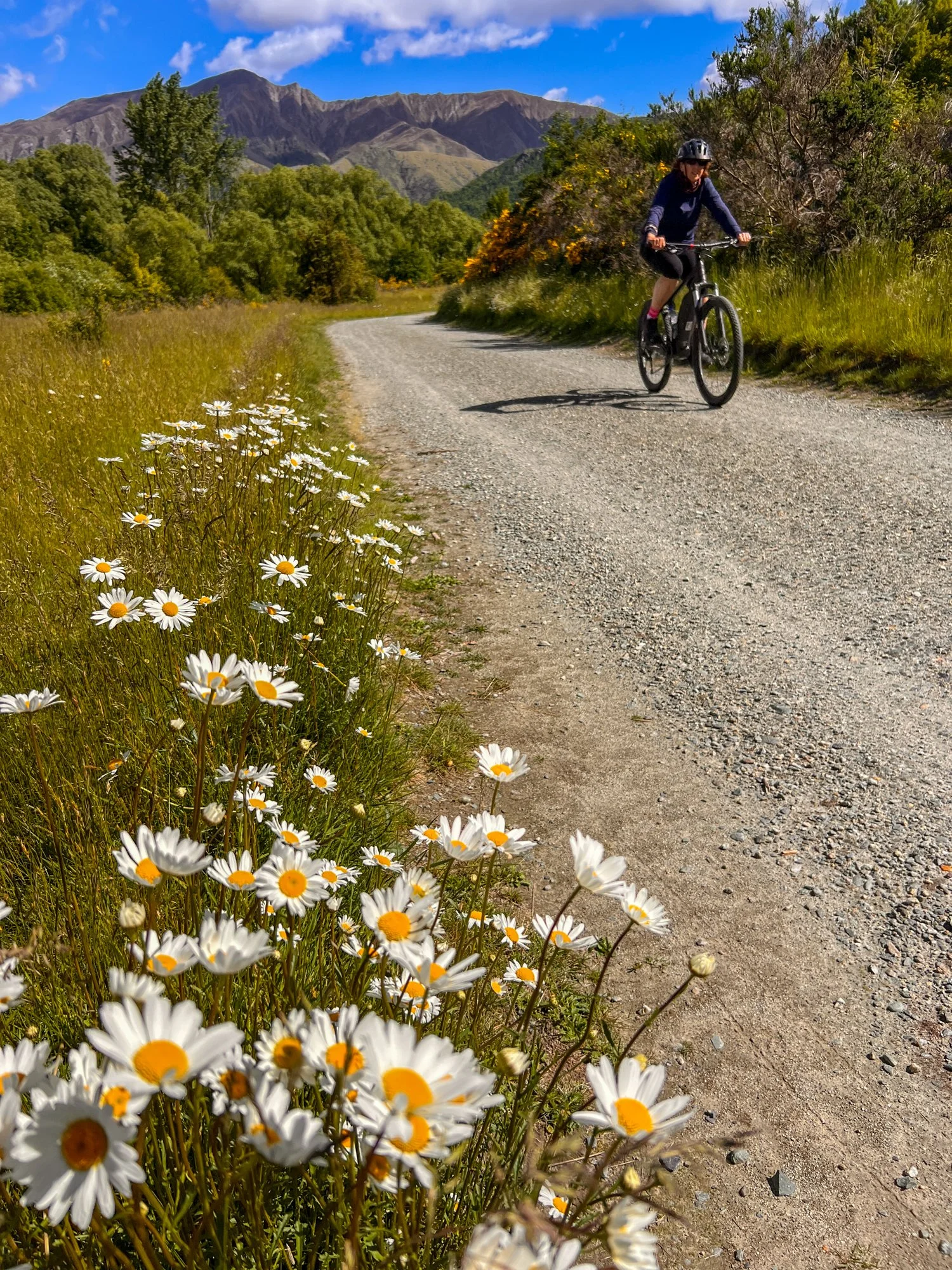
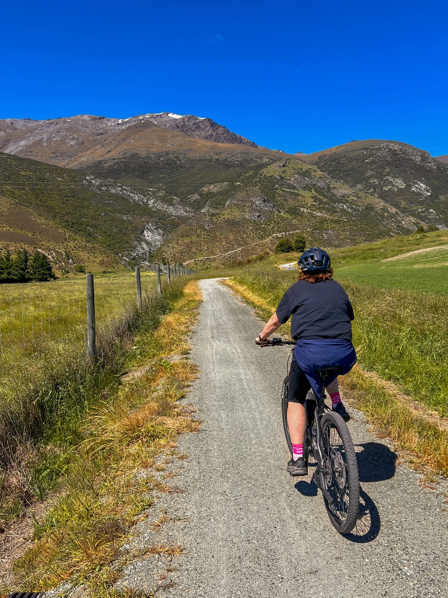
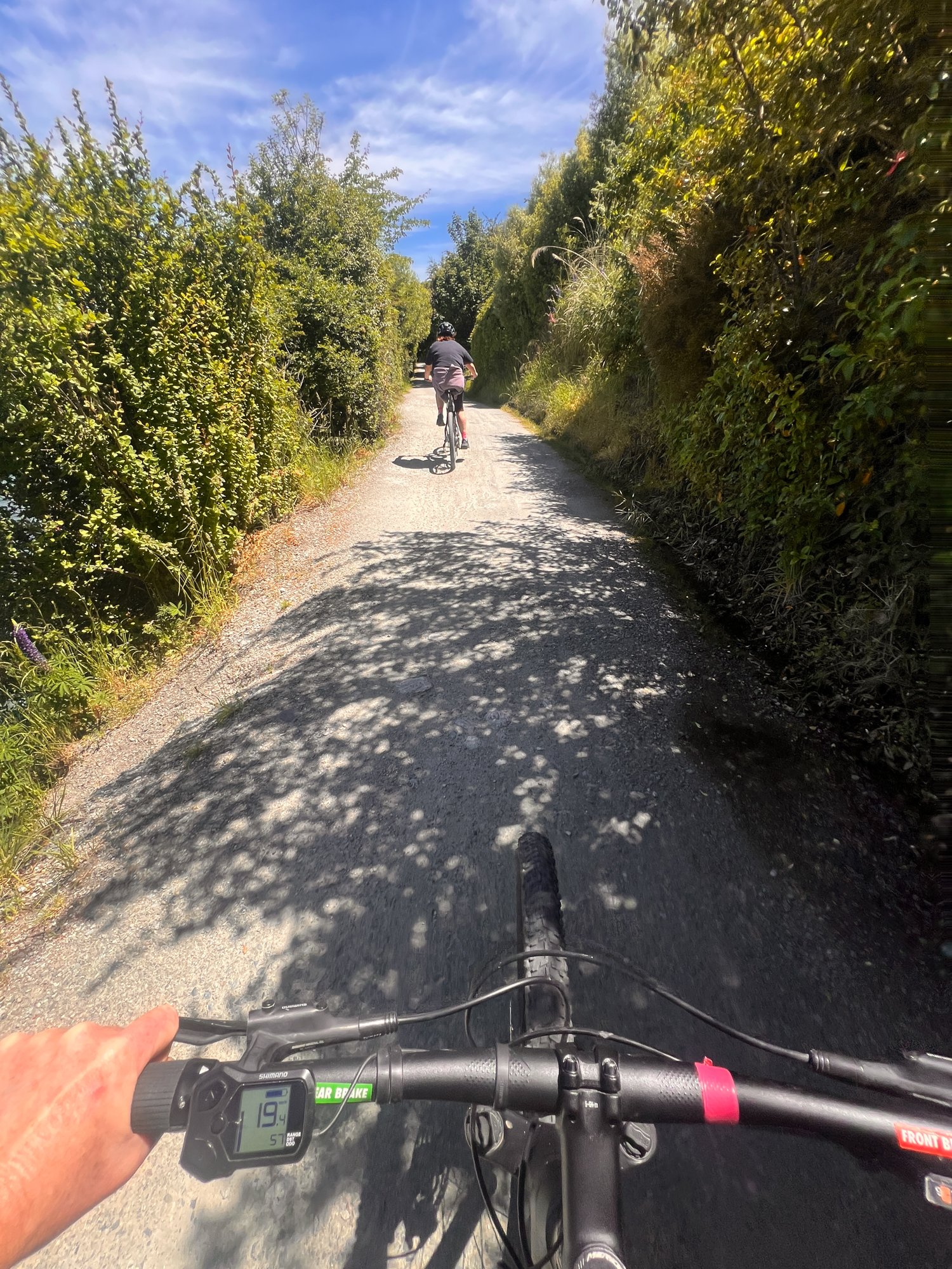
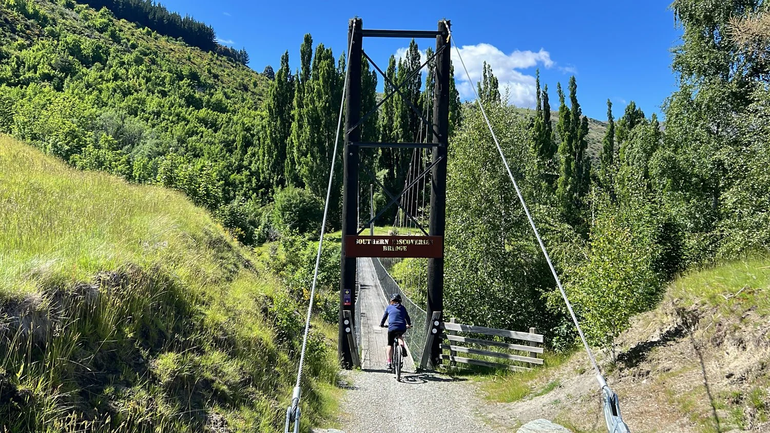
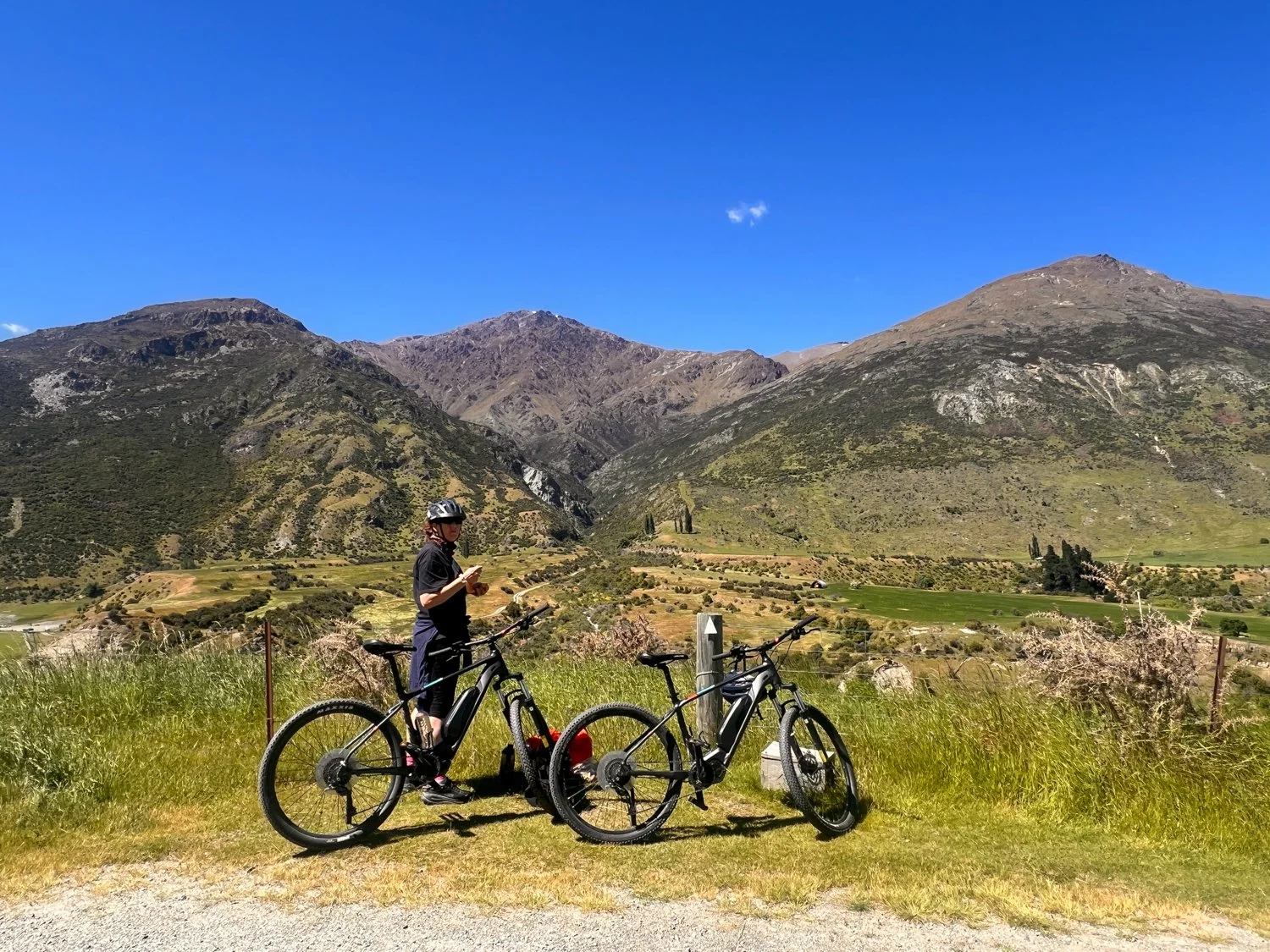
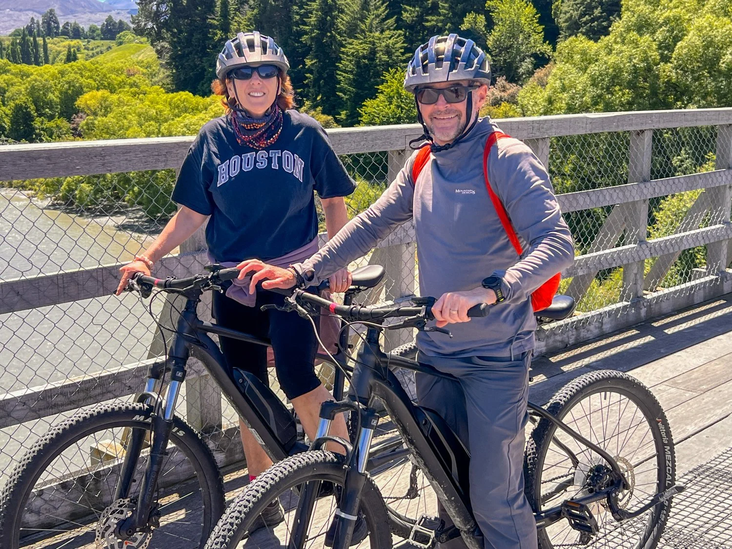
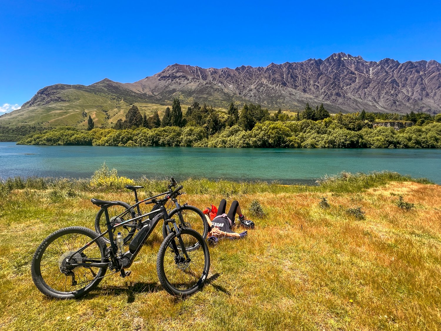
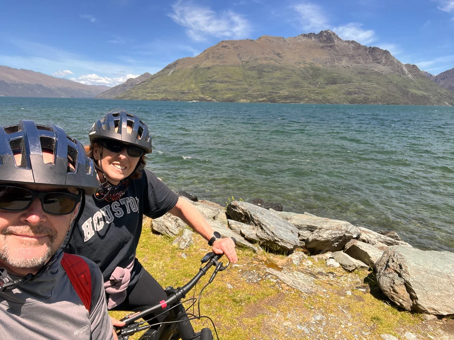
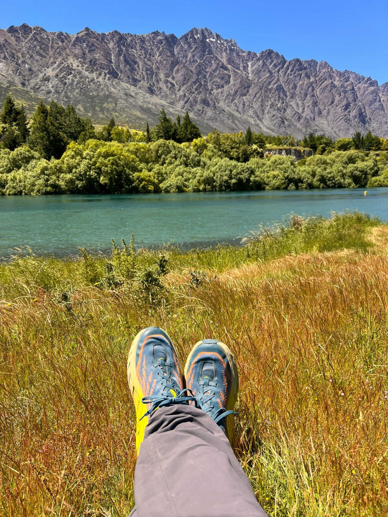
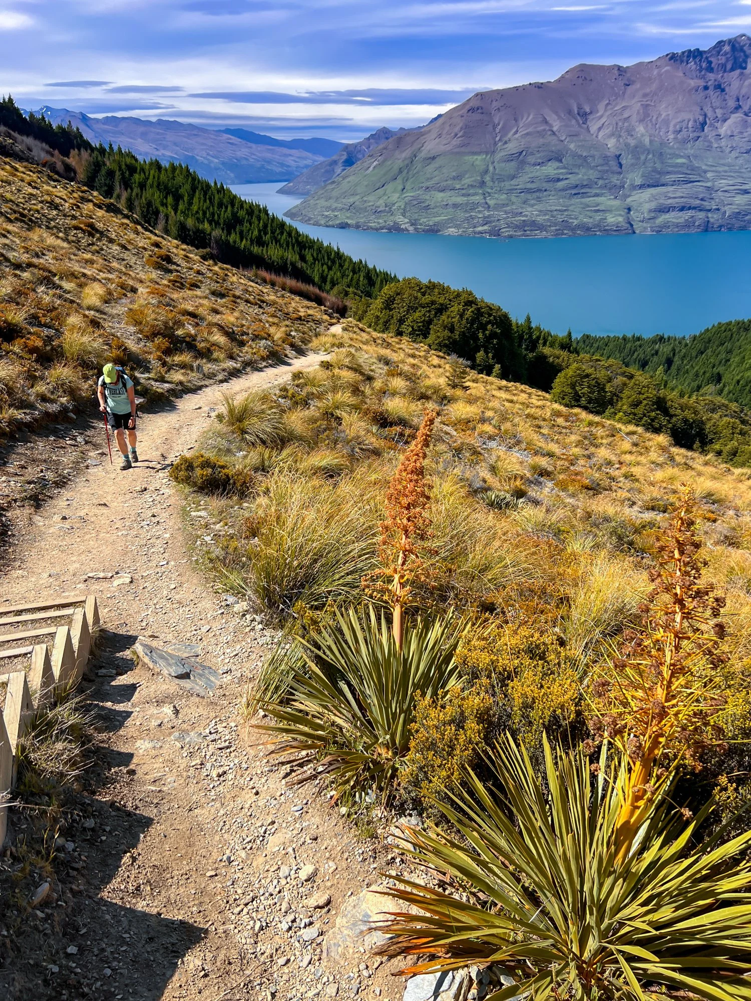
The next day we headed to Queenstown, where the pace shifted once again. Boots were briefly replaced with bicycles as we rode 33 kilometres from Arrowtown to Queenstown, following rivers and historic gold-mining trails. Riding an e-bike turned the hills from a potential lung-buster into pure fun. With a gentle push from the electric assist, climbs that might normally require grinding gears suddenly felt effortless, leaving more energy to enjoy the scenery and the winding trail beside the river.
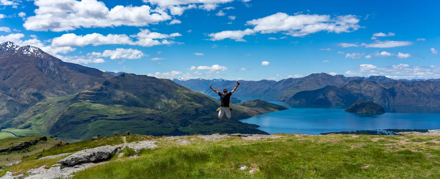
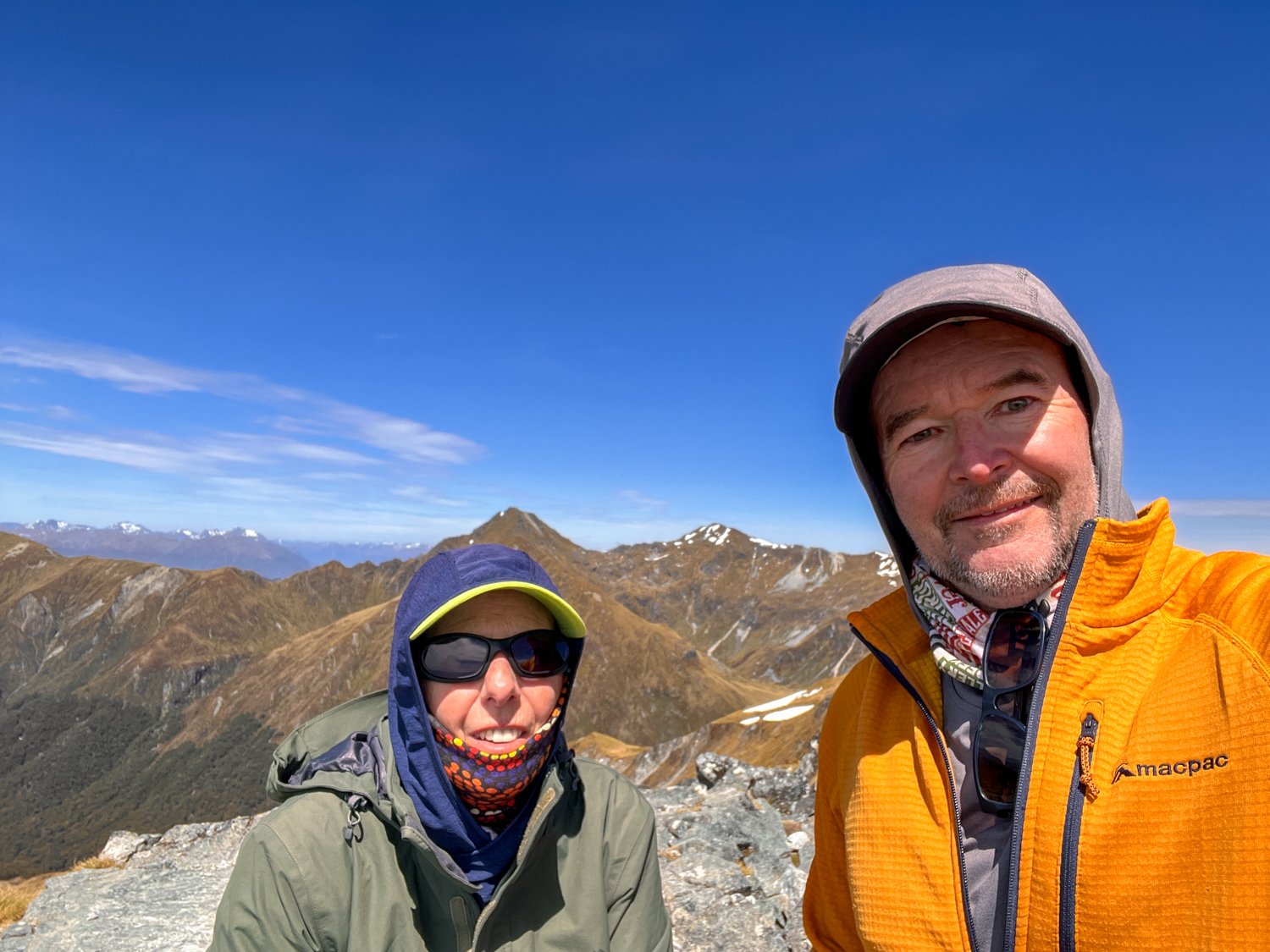
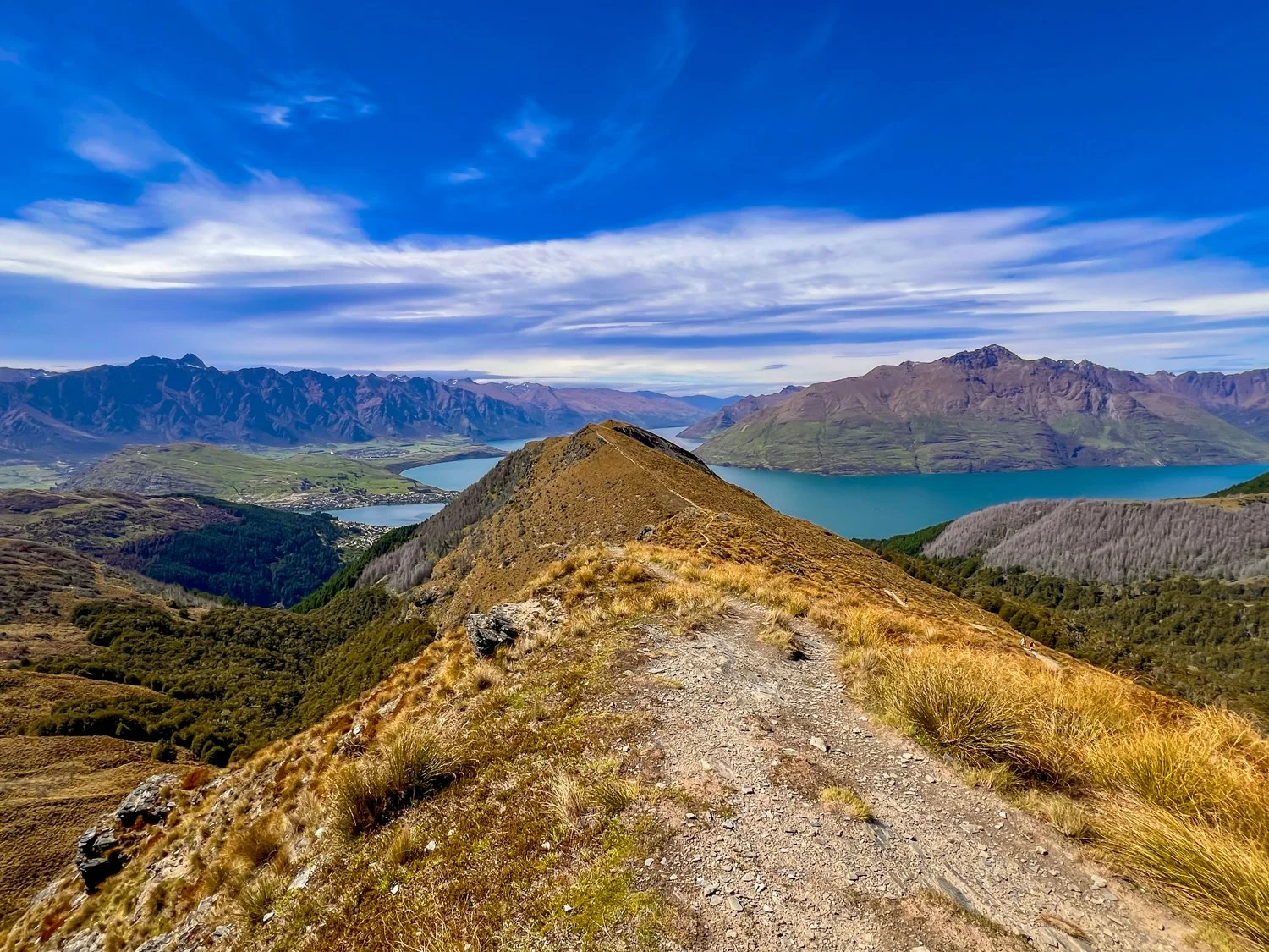
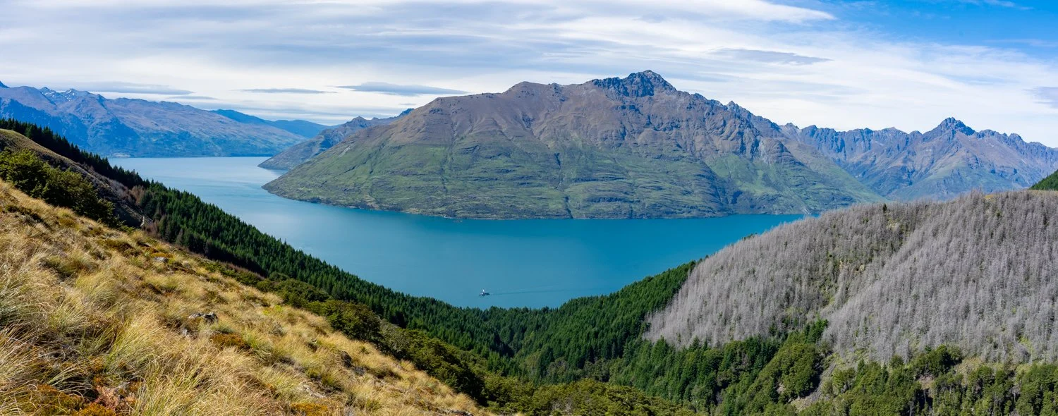
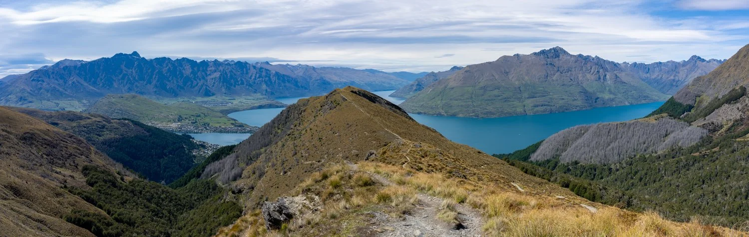
Our final hike was saved for the last day: the climb up Ben Lomond. The trail gains roughly 1,000 metres in elevation and wastes little time doing so. It’s a relentless climb that steadily burns through the legs and lungs. But at the summit the effort suddenly becomes irrelevant. Jagged peaks stretch across the horizon, Lake Wakatipu winds through the valley below, and the entire landscape unfolds in every direction.
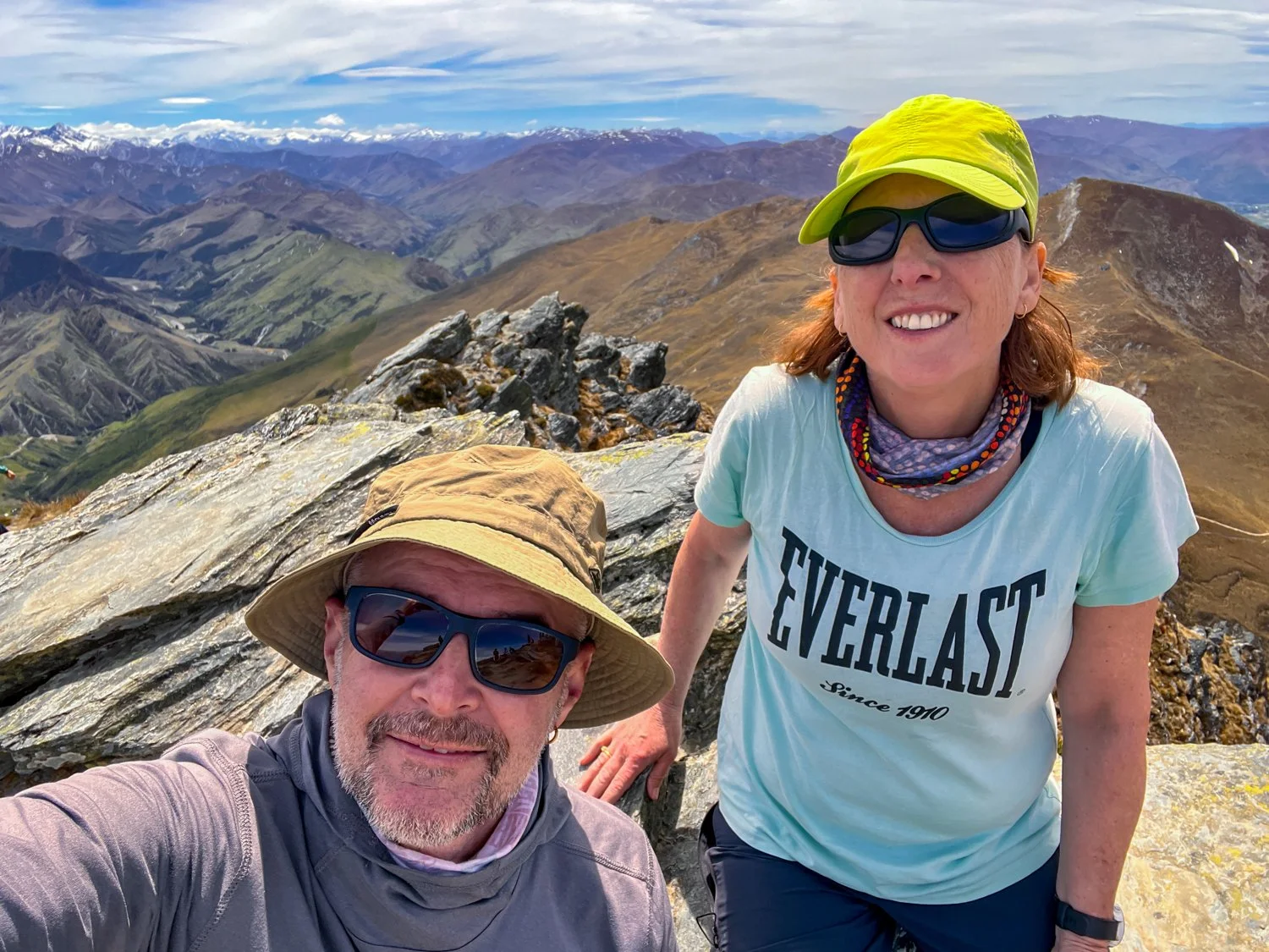
After two weeks of walking, climbing, and occasionally redefining the meaning of “rest”, it felt like the perfect place to finish — standing on top of a mountain, quietly wondering how a single island could pack so much scenery into one journey.