This story was published in the December 2015 issue of 4WD Touring Australia
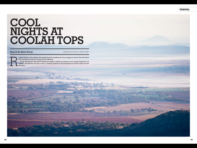
Rugged up like a polar explorer the warmth from the crackling fire only manages to travel a few feet before the cold night air sucks its energy into the darkness. As the temperature dips below freezing you begin to realise it is warmer in your camper fridge than outside. But with the cold also comes a camping experience that invigorates not only the body, but also the mind.
With news bulletins warning – “the most powerful cold front to cross Australia’s southeast in years will hit this weekend” we knew we were in for a chilly time camping. And we knew it would be even colder as we were heading to a place called COOLah Tops.
Coolah Tops is located 380 km north-west of Sydney on a narrow plateau, where the Great Divide, Liverpool and Warrumbungle Ranges meet. Passing through the towns of Mudgee and Gulgong the expanse of the Liverpool Plains quickly erase the memories of the big city left behind. Tall buildings make way for a world where the planet appears to be 90% sky and 10% green rolling paddocks. And it is here where you get a true feeling of being ‘beyond the black stump’.

But more than being just a figurative term, the town of Coolah holds claim to being the home of the black stump. The local Aboriginal Gamilaraay people are rumoured to have called the area ‘Weetalibah-Wallangan’, meaning, ‘the place where the fire went out and left a burnt stump’. In 1826 Governor Darling formalised the land boundaries that passed through the centre of a property known as ‘Black Stump Run’. Today, a rest area and replica stump mark the historic location.
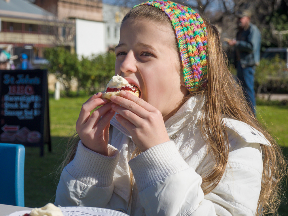
While claims over the black stump continue to be fiercely fought between country towns the Black Stump Inn, a 2 storey hotel built in 1928, has that country charm that pulls one in for a more peaceful cool ale. But with the temperature in the single digits, instead we make our way to the Coolah Bakery to warm up on freshly made pies and sausage rolls. 50 metres further on we leave town with the book end Coolah Valley Hotel similarly trying to beckon us in for a beer.
40km out of Coolah, the road leaves the flat plains. Here it becomes a dirt track winding its way up the plateau, green grasslands either side providing nourishment to both the cattle and thousands of wild goats that roam the hills.
As we climb higher and the temperature drops further, we get to a small marker that signifies Pandoras Pass. In 1823 the botanist and explorer Allan Cunningham found this important crossing through the mountain range opening up a northern path to the Liverpool Plains. This early traveller not only helped the Liverpool Plains become one of our most valuable farmlands, but he opened up access to Coolah Tops for travellers that followed such as us.


(A few images of the car getting a taste of the fresh country air)


Leaving the pass and farmland behind we continue along the track and enter a large Eucalypt forest, its tall trees preventing the winter sun, now low in the horizon, from penetrating. The reference to the black stump is also well evident as we enter the forest. A recent fire has converted the silvertop stringy bark and forest ribbon gum trunks in to vertical liquorish coloured stripes. Despite the fire there is still plentiful wood to ensure that a campfire tonight will keep the chills at bay. The good news is that this is one of the few National Parks that allow you to collect firewood.

There are several campsites in the park including Cox's Creek Falls and the Pines. But we make our way further on to the Barrack's camping area and set up camp and a warm fire before the short afternoon light disappears leaving behind the glacial mountain air.
One sign that it gets cold here is the fact that Coolah Tops is home to some majestic snow gums, the largest in the east of the park. Its also home to some very friendly wildlife with the red-necked wallabies and eastern grey kangaroos watching on with bemusements as we huddle around the fire.


The next morning we reluctantly leave the warmth of our sleeping bags and head out and explore the park. With 30km of easy dirt tracks there are plenty of options. A short distance from the Barracks camping area we meander along a path that weaves amongst a prehistoric stand of grass trees (Xanthorrhoea glauca). With some over 300 years old, these three metre ancient giants stand like soldiers adorned with large fuzzy hats.
A short drive and another small walk takes us to Norfolk Falls. While only a trickle due to the dry winter, the waterfall must come alive after a heavy rain, the water cascading deep in to the valley below.


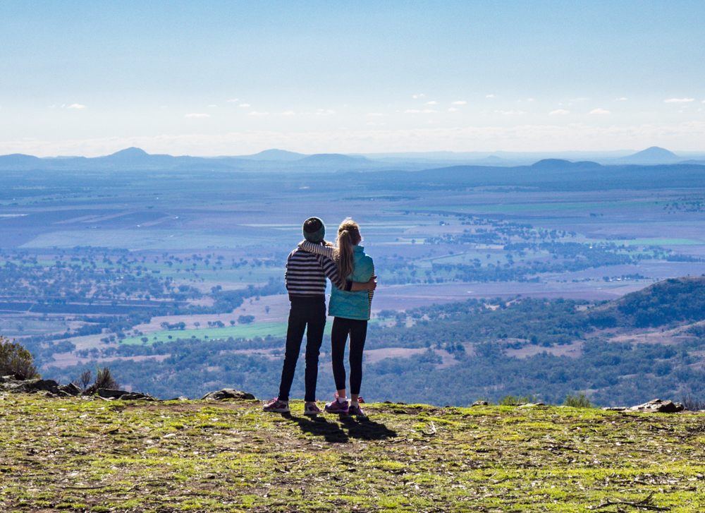
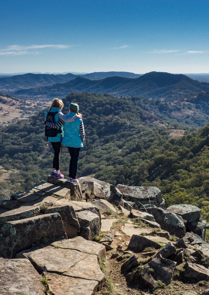
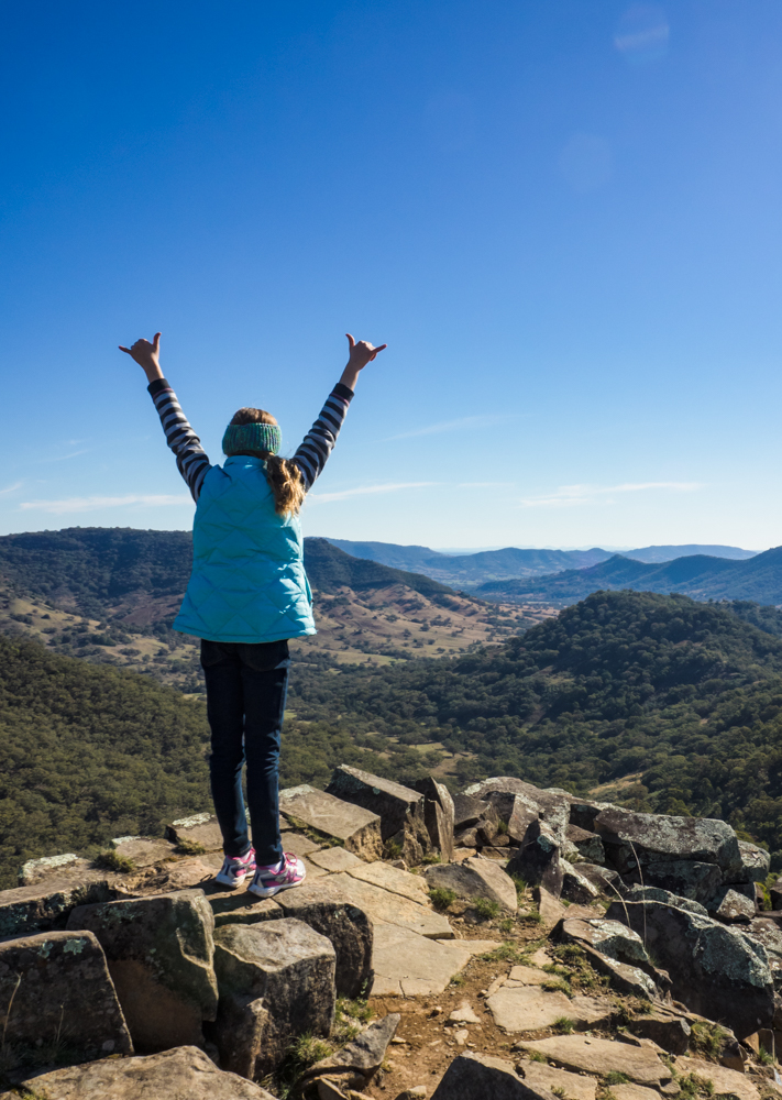
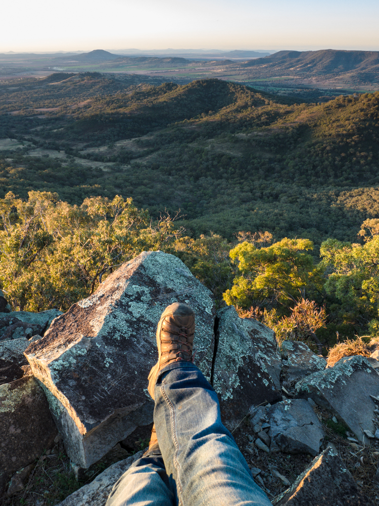
Following another fire trail to Pinnacles Road Lookout we are immediately greeted with stunning views out across the plains to the Warrumbungles and Mt Kaputar. At the eastern end Breeza Lookout offers similar impressive views perched 1200 metres above the plains.
We spend the next few days exploring the remainder of the Park including Bracken's Hut built in 1937 and the Gemini Loop Track which provides access to an old sleeper cutter's hut. These relics provide a glimpse of a previous time when the imposing forest was seen as a resource to harvest rather than protect. Luckily the National Park now conserves this unique part of country NSW.


There is one opportunity to slip the car in to 4WD and that is Jemmy's Creek 4WD Trail. This starts at Breeza Lookout and descends in to the valley to join up with Pembroke Road 20 km west of Merriwa. Unfortunately for us the track was closed for maintenance but this will just give us another good reason to return here one day.
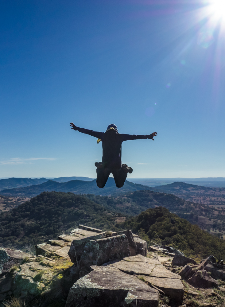
The thought of winter camping may not be everyone’s ideal holiday. For us however, there is nothing better than escaping the pages of the city street directory into the Australian bush. And if you really want to go ‘beyond the black stump’ you could not find a better place than Coolah Tops.


Not a bad way to spend a few days in the great ozi bush.