Tasmania lures hikers from around the globe due to its wild and remote walking trails, dramatic scenery and world class Whisky (or so i am told). So, what better place to test out our first experience of undertaking a multi-day hike.
Now we are not newbies to hiking with both Kathy and I having done numerous long and challenging hikes both in Oz and overseas. However, each of these has seen us return to the camper trailer or some form of accommodation for dinner and bed. But I have long wanted to take the next step and pack everything I need on to my back and venture beyond these comforts. To reduce complexity to the barest of essentials, and venture where two wheel tracks give way to only one.
On the other hand, while Kathy is happy to sleep under the stars in our camper trailer (or better still if there are five of them on the hotel door), the idea of carrying all our sleeping gear and food for 4 days excites her as much as going to the dentist.
Which is why we are here, about to commence the Three Capes Track with the Tasmanian Walking Company. The adventure takes in 46 kilometres of jaw-dropping coastline along the Tasman Peninsula in the island’s southeast over 4 days. Rather than having to carry all your own camping gear, two environmentally sensitive cabins have been built, equipped with comfy beds, flushing toilets and a chef to cook your meals.
While you still have to carry all the clothing and items you need for the 4 days, the idea of not having to cook and a warm dry room to sleep in was enough to convince Kathy to give it a go.
DAY 1:
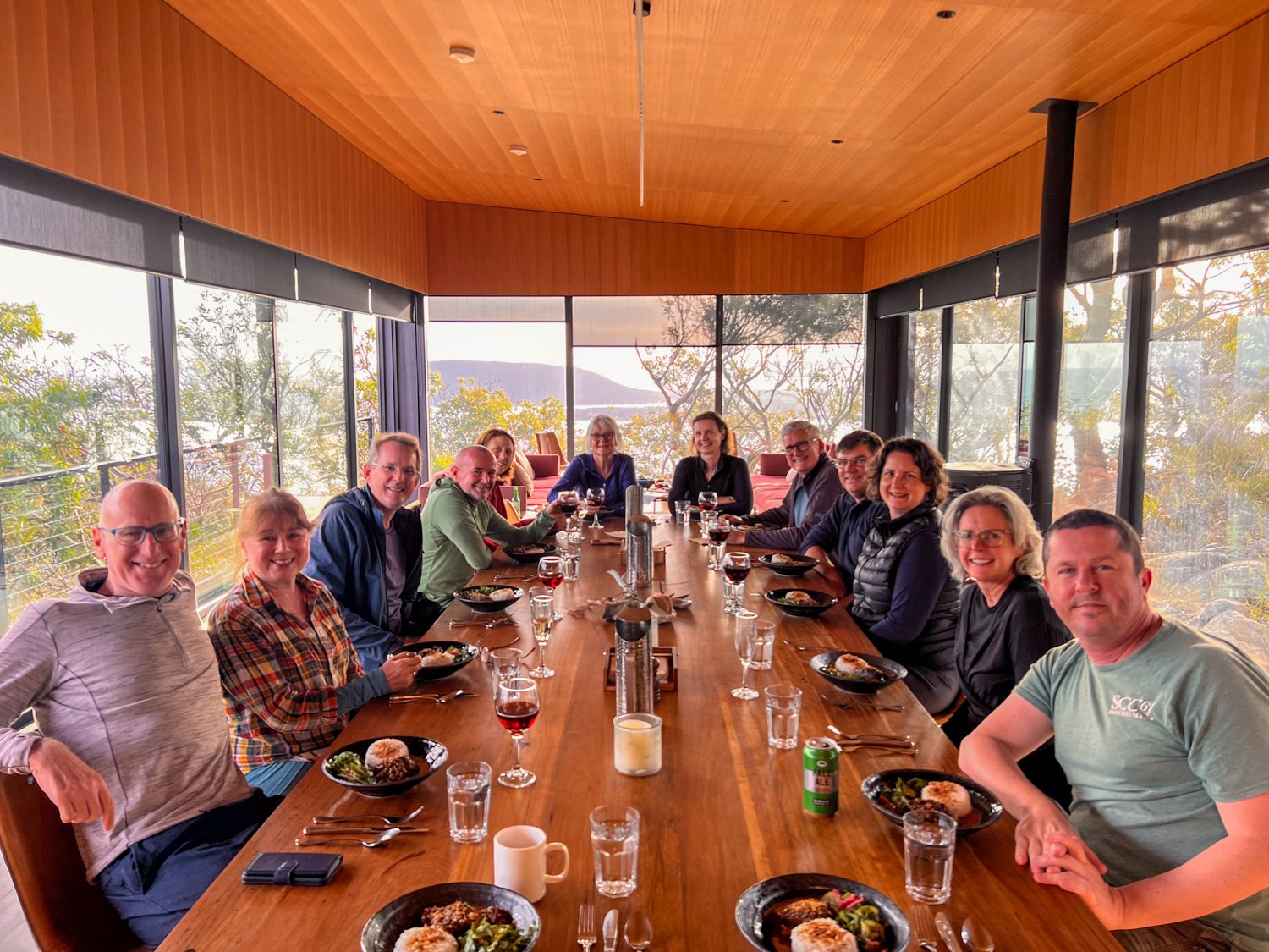
Having gathered in Hobart to collect our hiking gear, we meet our fellow hikers for the next few days and say goodbye to our friends (that’s another story). The group has come from around Australia - a lawyer, doctor, a candle stick maker (not really), all with different levels of hiking experience.
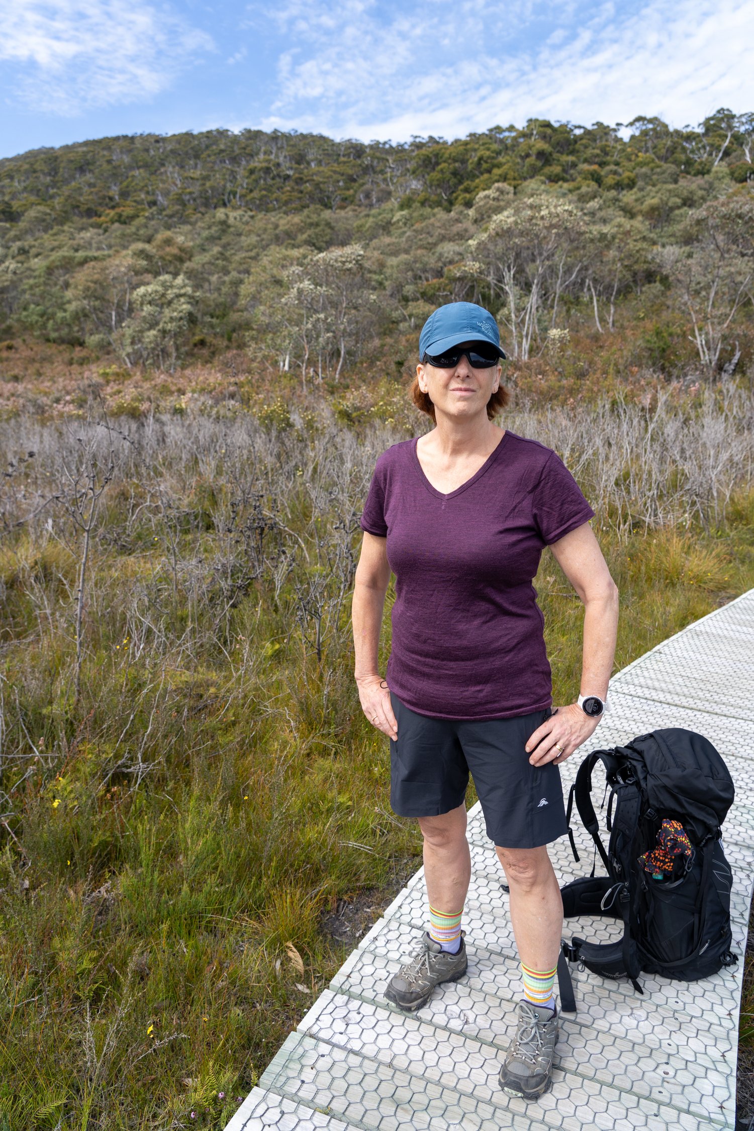
With bags weighed, 10kg does not seem that heavy but I still decide to leave a few extra luxuries behind in order to loose some more weight.
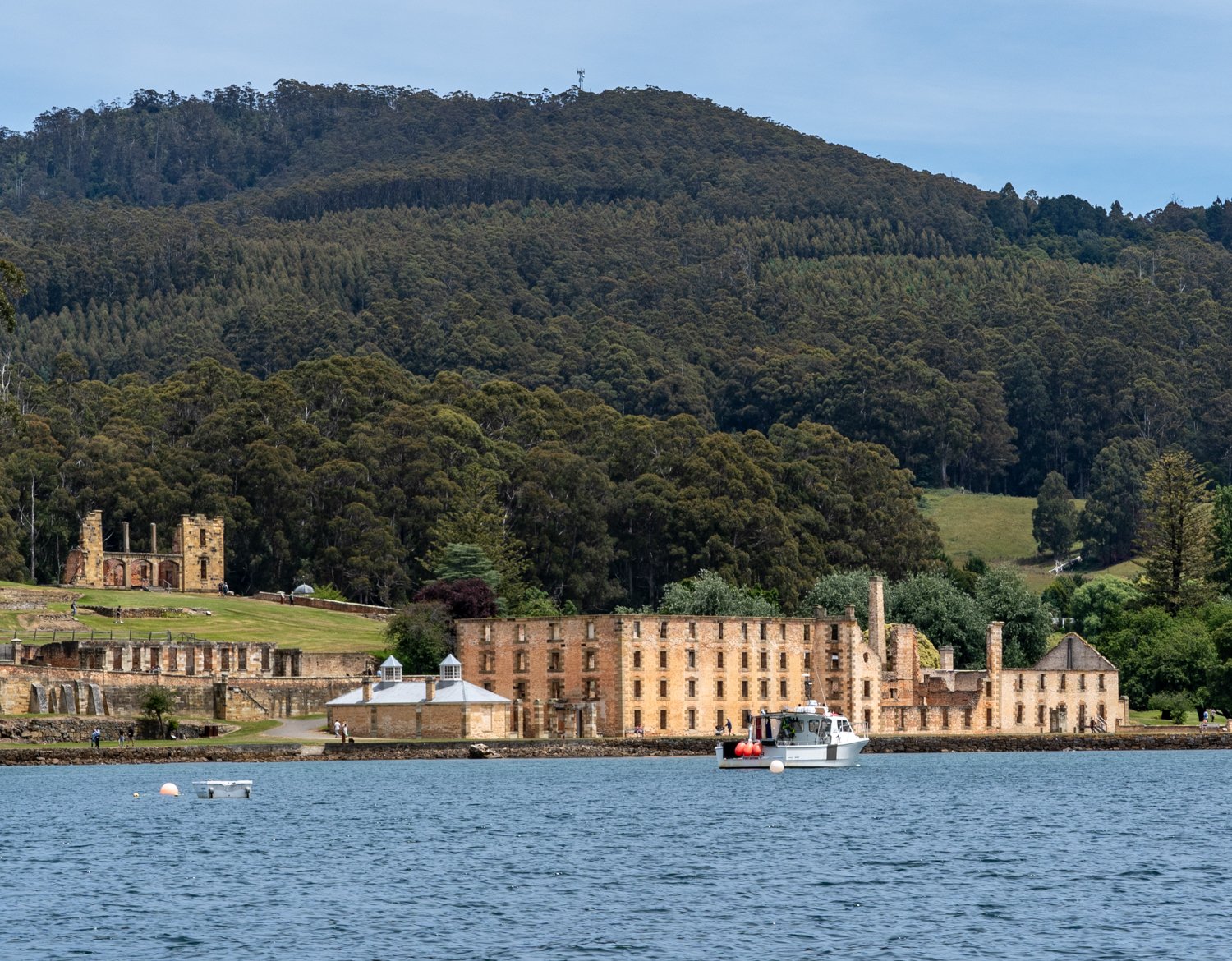
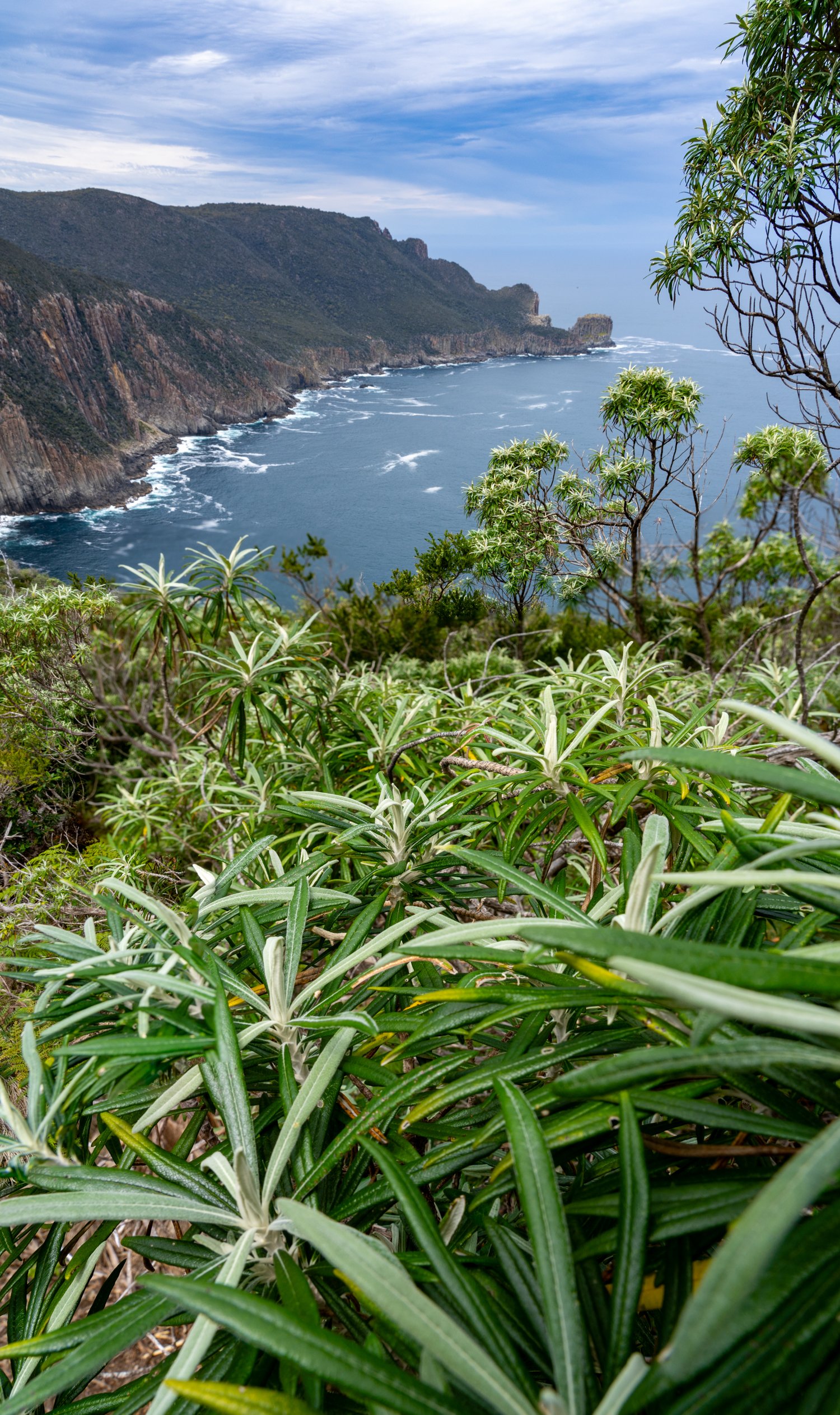
After a bus ride we arrive at Stewarts Bay where our boat is waiting. Here we jump aboard for a short but breathtaking journey across the shimmering waters past Port Arthur and into the Bay. As we ride the incoming swell following the awe-inspiring dolerite cliffs, we stay just far enough away to prevent us from joining the crashing waves that explode at the base of the precipices. This provides us an opportunity to glimpse the coastal landscape we would be trekking over the next 4 days from a different perspective. Suddenly, someone points to small glass box hovering at the top of the cliff face with the guide explaining that this is our home for the first night. The challenge is - we need to get there first.
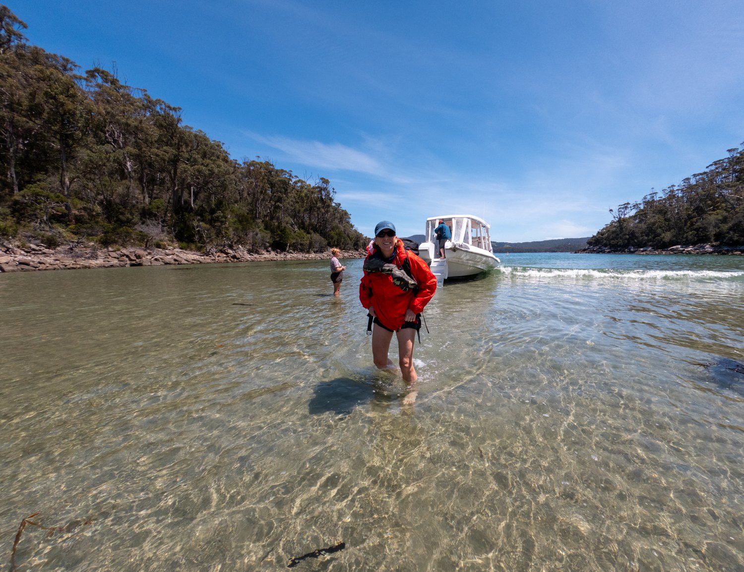
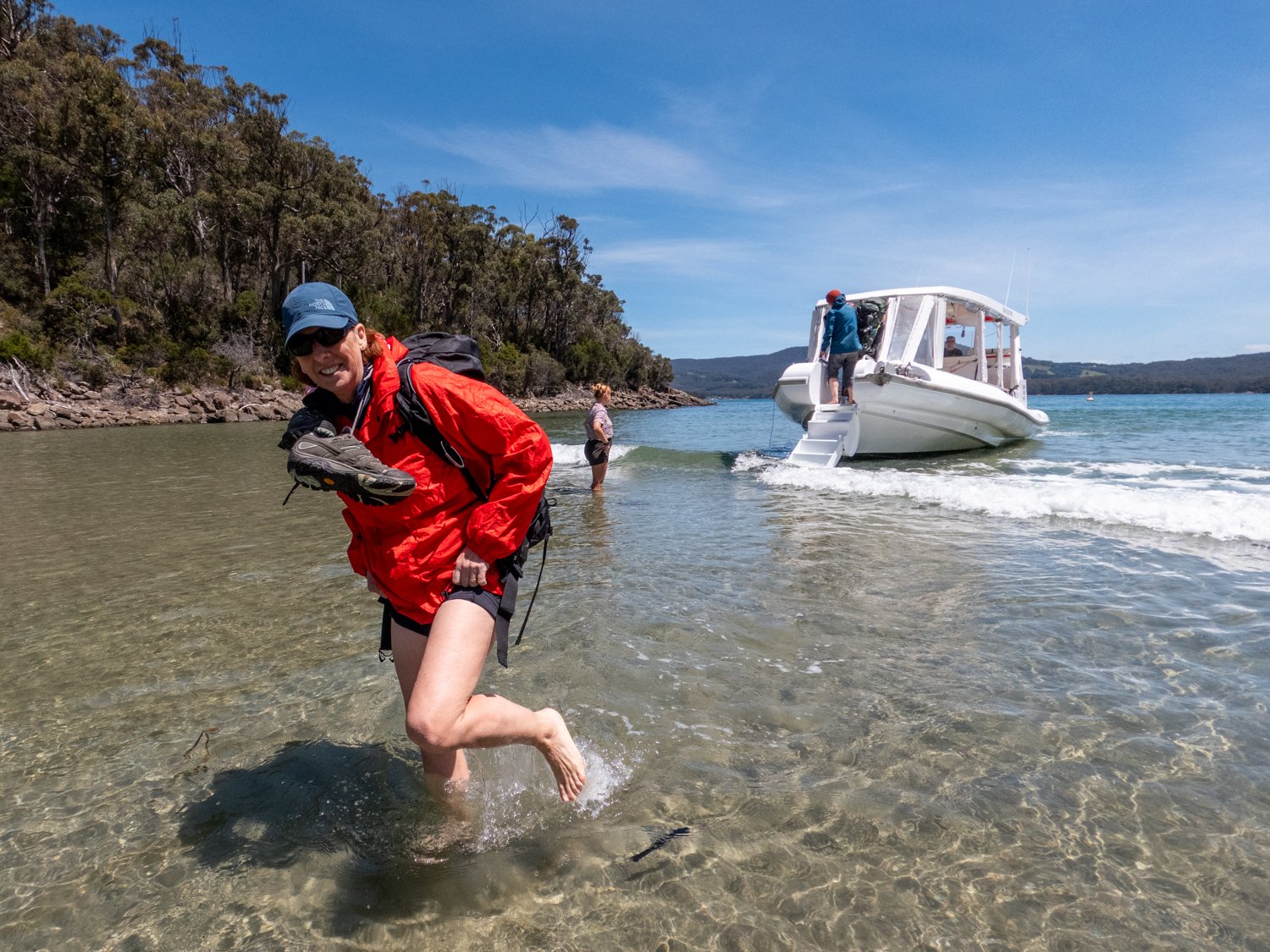
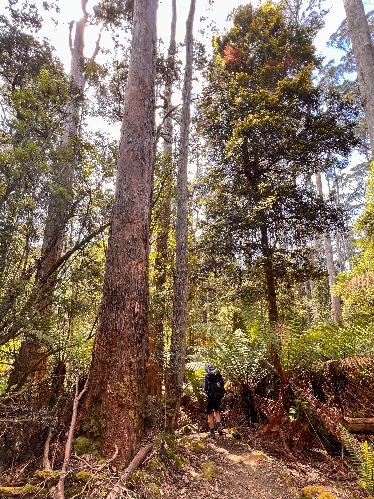
We soon glide into Denman's Cove and throw our shoes over our neck for the brief wade ashore. With a stop for lunch, all provided by the tour (I am going to get used to this), it’s not long before we start a gentle walk of only 7 km through the enchanting eucalyptus woodland and coastal heathlands, with a quick afternoon snack at the cobblestone beach of Surveyors Cove.
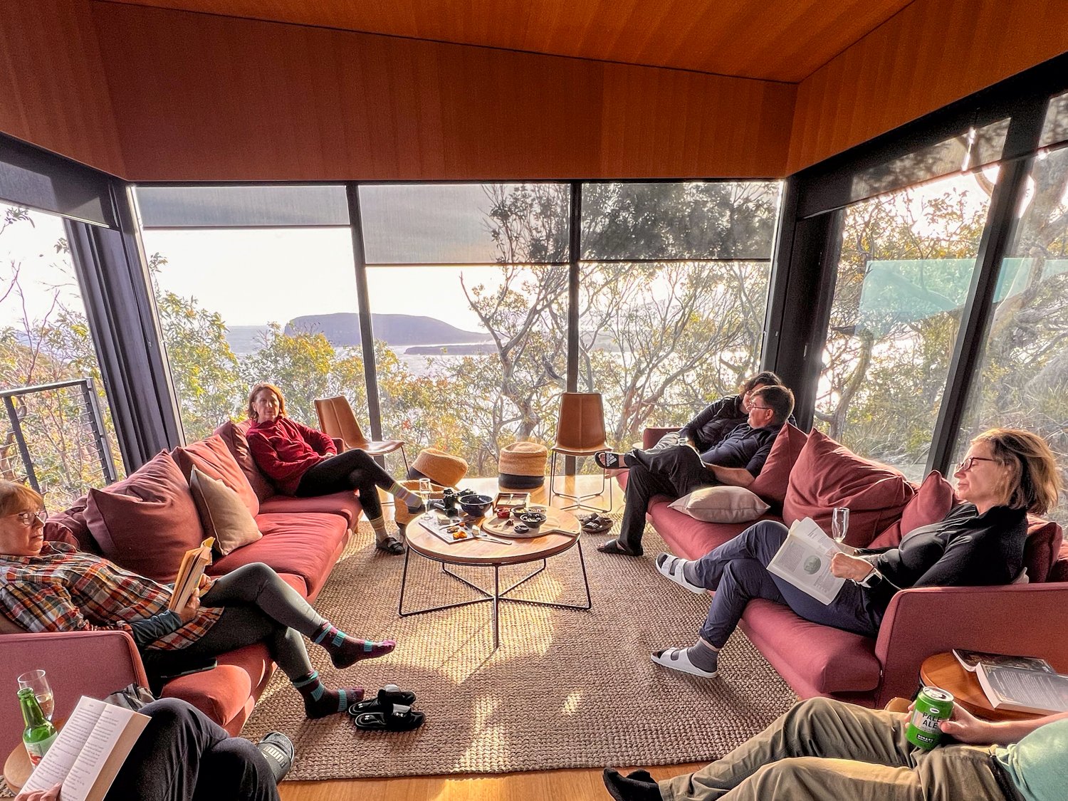
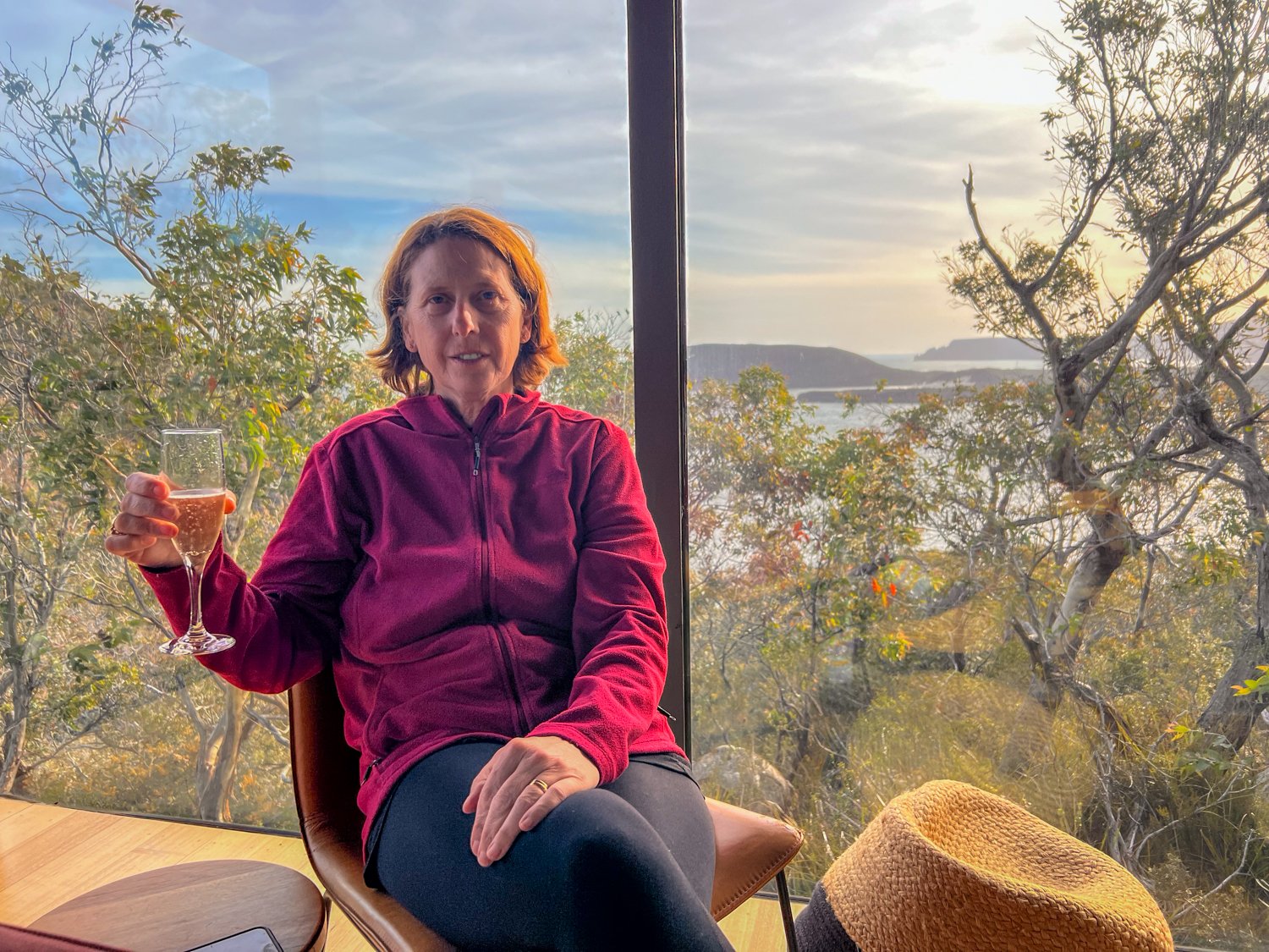
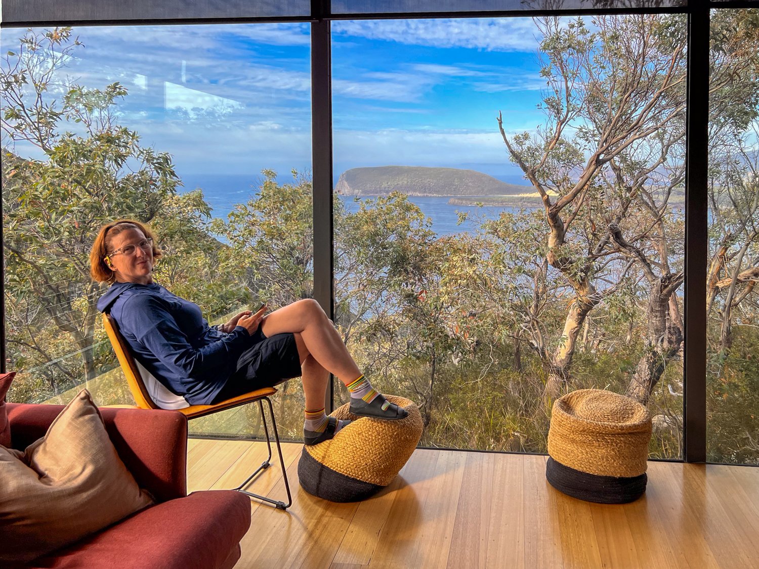
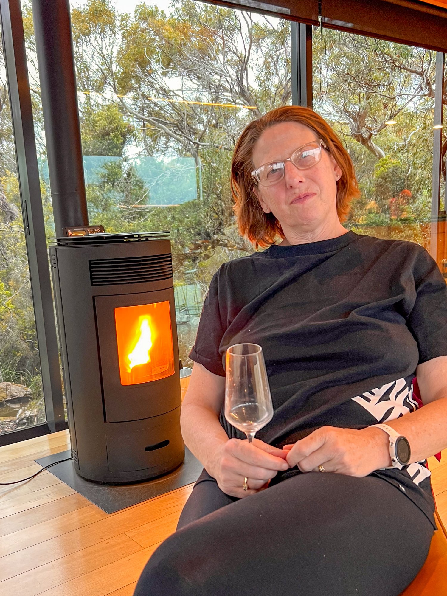
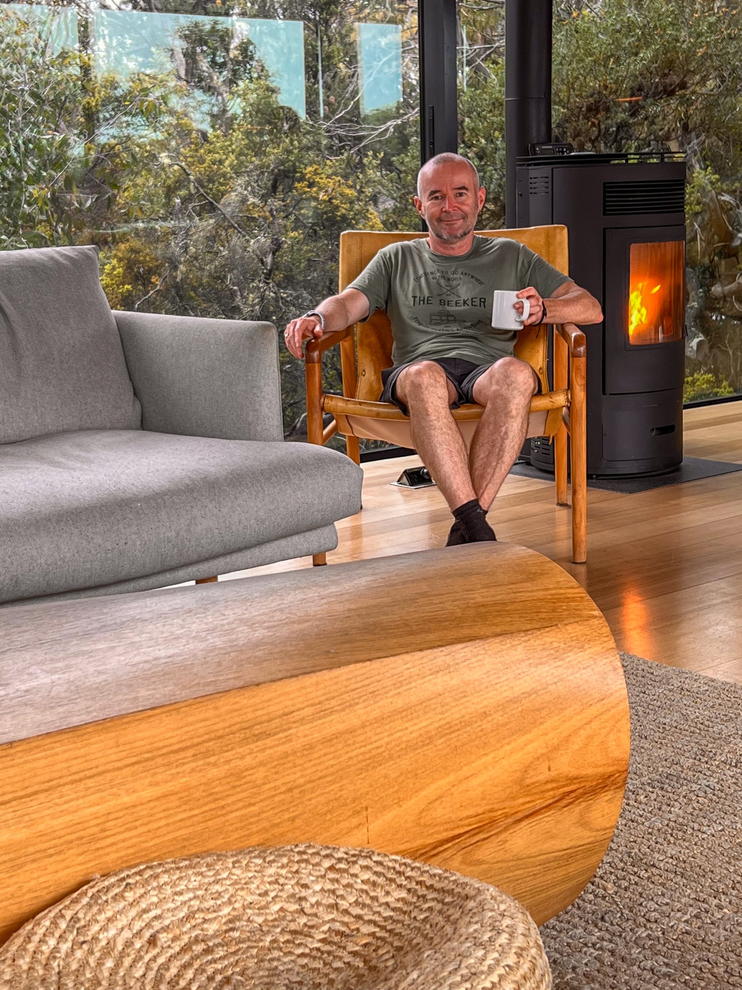
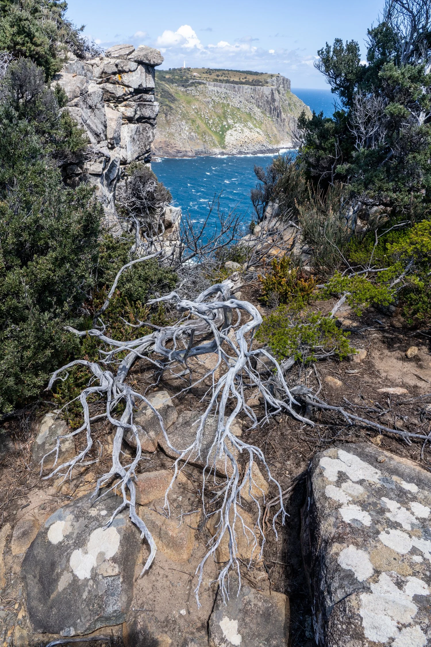
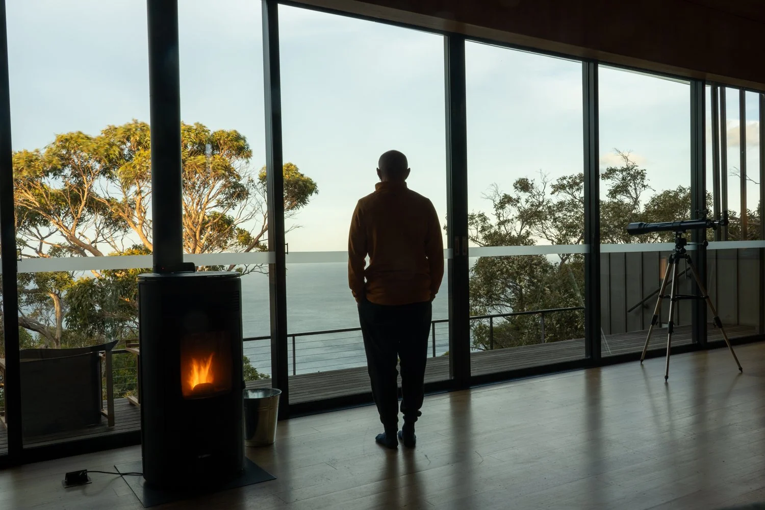
It’s then a simple climb until we reach Crescent Lodge, which we had seen earlier from the boat, perched atop the cliffs. At this point I would normally be having to think about setting up camp or cooking dinner. Instead, I am greeted with a freshly baked cake, a selection of champagne, beer, and wine with canapes. Slumping into the comfy lounge, the wall to wall glass provides breathtaking panoramic views across Crescent Bay, extending all the way to the stunning Cape Raoul, the first of the three Capes we will see.
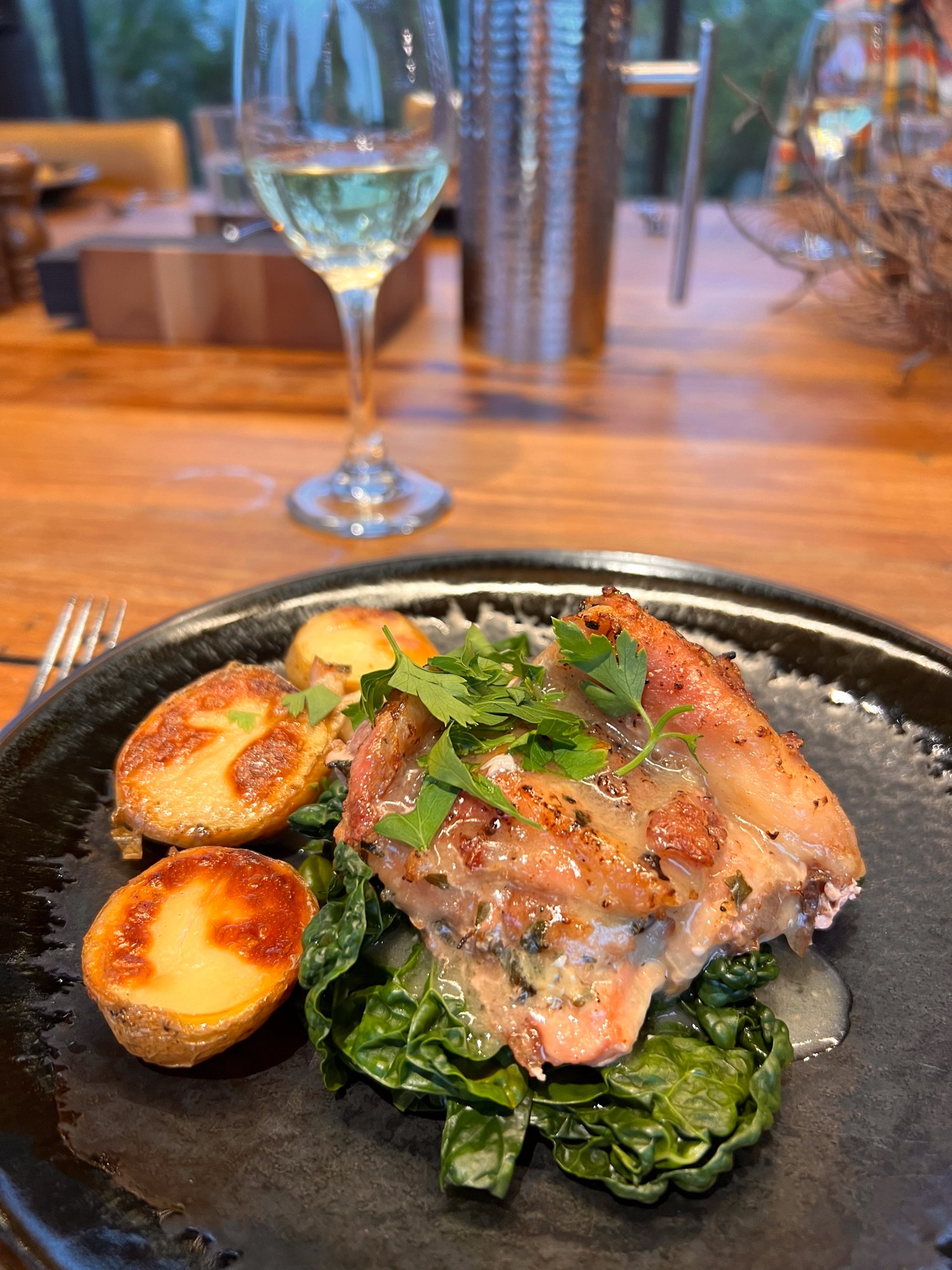
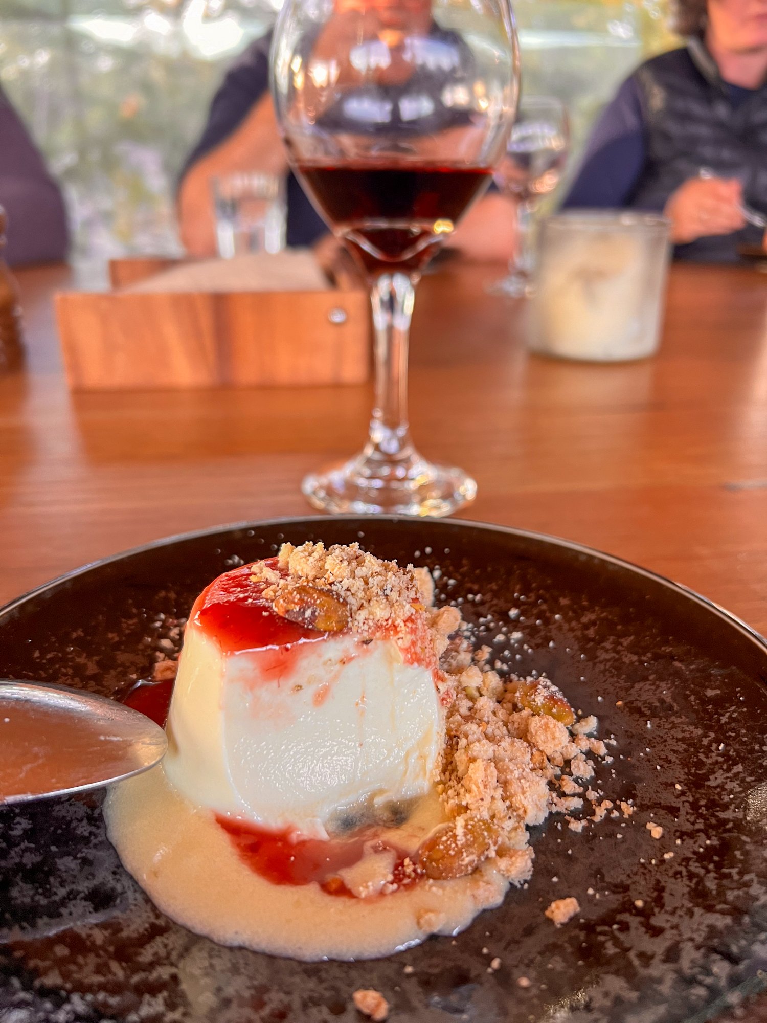
As dinner is called, it is not freeze dried from a pack, but a delicious two course meal lovingly prepared by the camp host. While I try to ignore the thought of the greenhouse footprint resulting from flying in all the produce on helicopter, I reluctantly have another glass of champagne in the knowledge that this is one luxury I will never get when I do eventually do a solo hike.
Denmans Cove


Boots off
The start of our hike


A few friendly locals along the way


A reminder of my University days collecting scats.
Guess which animal these are from?


Our cabin nestled amidst the tranquil wilderness, the perfect sanctuary to unwind after a day of exploring. The cabins exuded a harmonious blend of minimalistic charm and environmental consciousness (click on the bottom right picture to see where it sits)


Looking out towards Cape Raoul


Day 2:
Waking up, it looks like the Tasmanian weather roulette wheel has spun another glorious day. This is made more special as we tuck into a hearty breakfast to refuel the body for the day ahead.
Donning our packs, we continue our journey south hugging the coast, but it is not long before reaching our first small challenge, the ascent of Arthurs Peak. Following the well-kept path, hundreds of steps have been conveniently crafted out of rock making it an easy climb to the top at 318 meters above the glistening sea, providing panoramic vistas of Safety Cove and Maingon Bay.
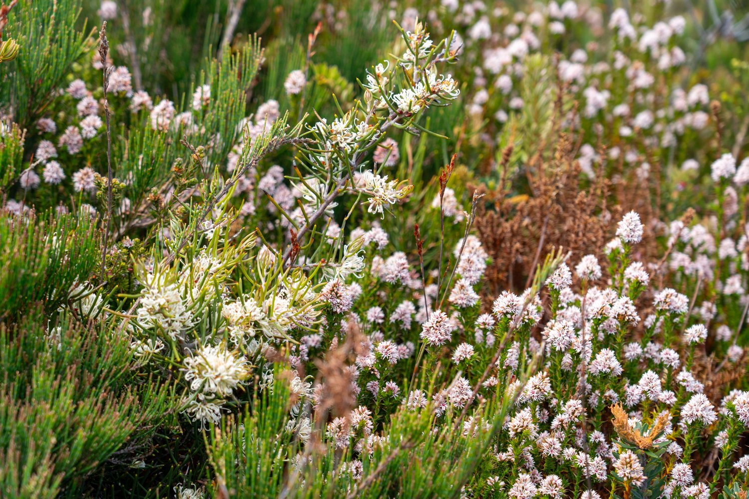
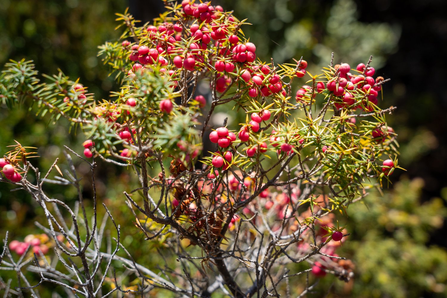
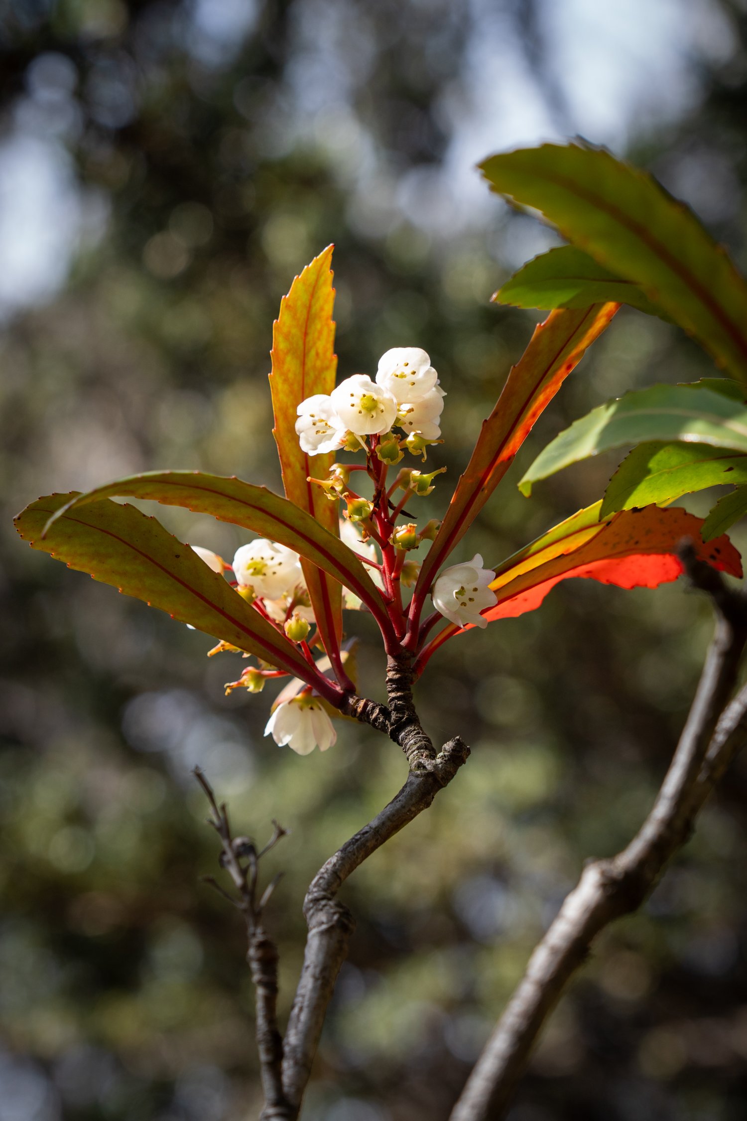
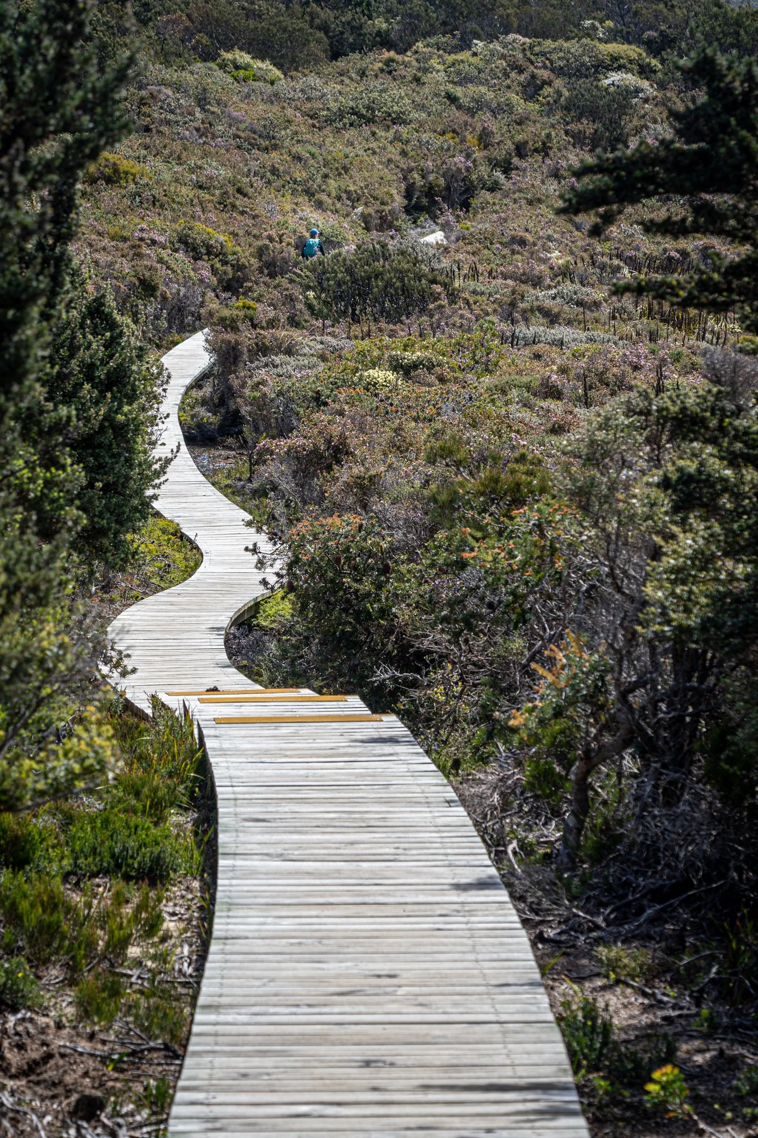
Descending the peak, we pass through the “Cloud Forest” so called due to the unusual microclimate created the sheer sea cliffs below sucking up cold air, condensing it, and keeping this area cooler and often shrouded in mist. From here the track descends to Ellarway Valley, a wildflower garden of Hakea, Melaleuka, Leptospermum, Acacia, Bursaria, and Hibbertia in full bloom. What was once an impenetrable coastal heathland, is now an easy walk over constructed elevated boardwalk. It is easy to see why Tim and Reg, the early bushwalkers of this area, called it “Where the ‘ell are we valley” (NOTE: we soon got to hear a lot more about Tim and Reg as the walk went on).
The only reason hikers of today can easily access this area is the construction of extensive track improvements opened in 2015. After more than 10 years of conceptualisation, design and $25 million in funding, more than 35km of track has been laid requiring more than 18,000 helicopter flights each carrying 800kg of materials. This mammoth undertaking has created arguable one of the great walks in Australia.
But this undertaking does not come without its detractors. Some see these being no more than “urban pathways similar to that through a suburban park” rather than a bushwalking track. I struggle to see where I sit on this continuum both enjoying the ability to experience this walk, while at the same time seeking a more intimate and light touch connection with nature. There is both a bizarre sense of beauty in the snaking boardwalk and a clear physical structure detracting from the wild landscape.
It is clear that interventions such as these have a benefit protecting sensitive environments, and it is selfish to expect that hiking should be only for those that are capable of traversing the hardest of tracks. There are also benefits in giving everyone the ability to experience Australia’s unique and wild places. However, equally this needs to be done in a sensitive manner with the core of protection taking priority over development.
Leaving the boardwalk, the track continues along the edge of Tornado Flat past Munro Cabin (one of the three National Park Cabins) before a short but steep climb with multiple switch backs to arrive at Cape Pillar Lodge. With an equally spectacular view over Munro Bight, the Cabin is identical to yesterday’s lodge but in reverse.
As we settle into a common routine, the day ends with another impressive selection of locally sourced canapes followed by a glorious meal matched with local Tasmanian Wines. As we slowly drift off to sleep the pitter patter or rain outside gives an indication that the weather roulette wheel is spinning with uncertainty what we will wake up to in the morning. But for now, tucked up in a warm bed, it is times like this where the thought of sleeping in a tent is not as romantic a notion.
The constructed boardwalk snaking through the coastal heathland


“Where the ‘ell are we valley”

In full bloom


One of the many views from Arthurs Peak and the coastal track


Cape Pillar Lodge
DAY 3
This is Tasmania and it is not unusual to experience snow and sun on the same day. Waking to the same sound I drifted off to sleep last night, the light misting of rain didn’t damper the anticipation of today’s 15km hike out to Cape Pillar and back. The good news - this means I will have used all of the clothes in my backpack, happy in the knowledge that the raincoat was worth bringing.
The hike begins as we enter the enchanting silver peppermint forest with its majestic Eucalyptus tenuiramis trees reaching towards the heavens just as the rain stops. Our intrepid guides Alyssa and Maddy, who have diligently shared stories about the geology of the landscape, the flora and fauna of the area, and the Aboriginal history, continue their reoccurring narrative of Tim and Reg who made the first-known attempt to reach the end of Cape Pillar in the mid- 1960s. The reason we are able to experience this slice of Tasmania is due to the efforts of the Hobart Walking Club, in particular two of its members – Tim Christie and Reg Williams – who, spent several years forming a track out to Cape Pillar. It was clearly not an easy task as thet dedicated landmark names such as Purgatory Hill, Corruption Valley, Hurricane Heath, Perdition Plateau and Desolution Gully.
Alyssa shares the legend that the bush was so prickly that their jeans would get cut up so badly that they had to take them off and put them back on back-to-front! The 1970 Hobart Bushwalking Club magazine ‘Tasmanian Tramp’ by Tim Christie describes the first trip to The Blade.
"Here again every movement was a tour de force, and, as we fought our way through, the trees, scoured our already denuded arms and dragged us back by our pack frames. If we had discovered why nobody had ever been to Cape Pillar, we now knew why nobody had ever tried twice.”
"We couldn't cut our way through as it wasn't that sort of scrub so, when we could no longer get through by sheer push, we had to adopt a new procedure. First, the leader would flay the brushwood to weaken it. Then, pack and all, he would take a flying backwards leap onto it. The second man would haul him back onto his feet and leap-frog or climb over him. Having thus changed leaders, the cycle would be repeated.”
A far cry from the formed boardwalk that exists today.
With lunch calling, we stop at one of 18 benches installed along the track, designed and built by students at the University of Tasmania. This one, interestingly called ‘Sex on the Cape’. Despite my romantic look at Kathy, I soon learnt this was not a place for a salacious rendezvous but the circular seat around a set of five tall, bright orange stamens symbolising the reproduction of some of the species that live on the cape.
Back on the trail we reach the end of the boardwalk which has been fashioned to look like a snake's head with the words 'My blood runs cold' inscribed in the timber. While we fortunately didn’t see any snakes along the walk, I am told one of the guides did spy a white-lipped snake on the track earlier. Luckily, we are still not implementing the practice by the wife of Sir John Franklin, the lieutenant-governor of Van Diemen's Land, who hated snakes with a passion so she offered to pay a shilling for the head of every snake killed.
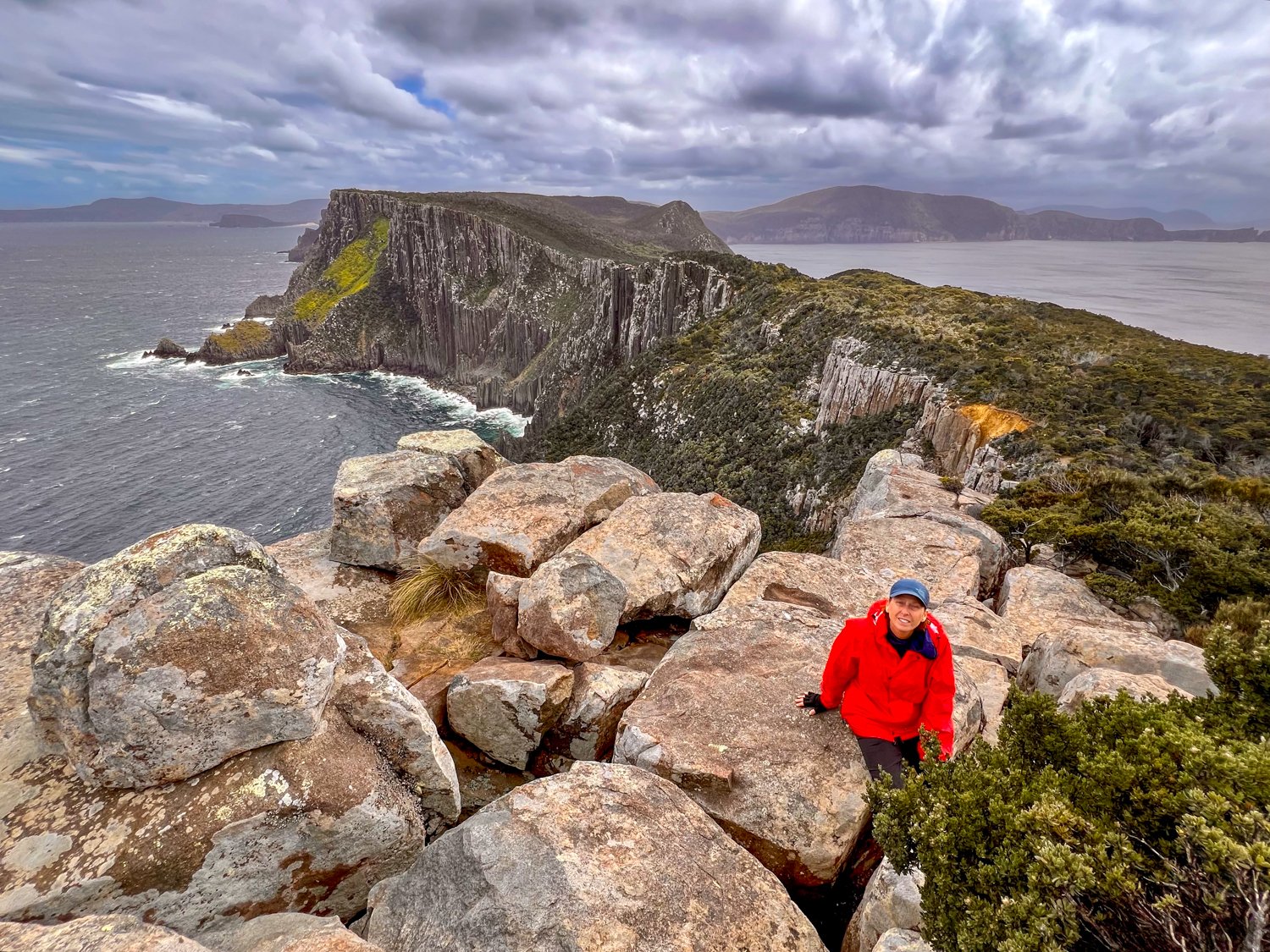
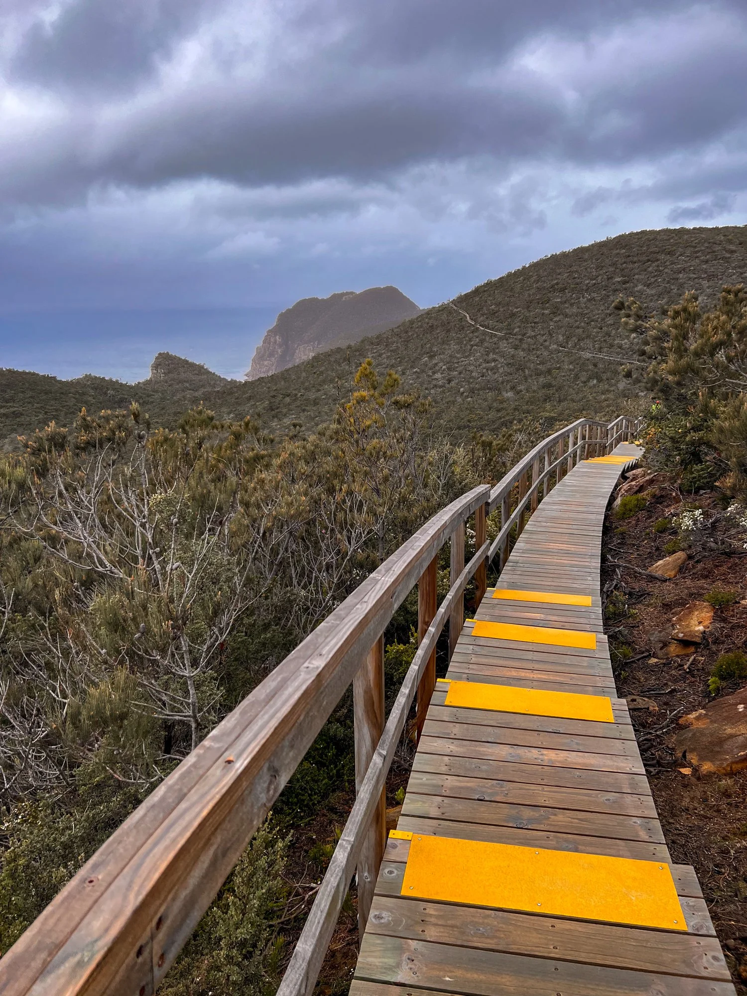
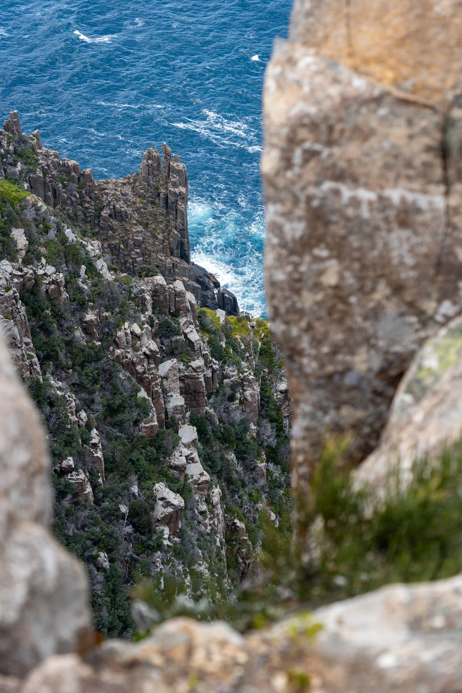
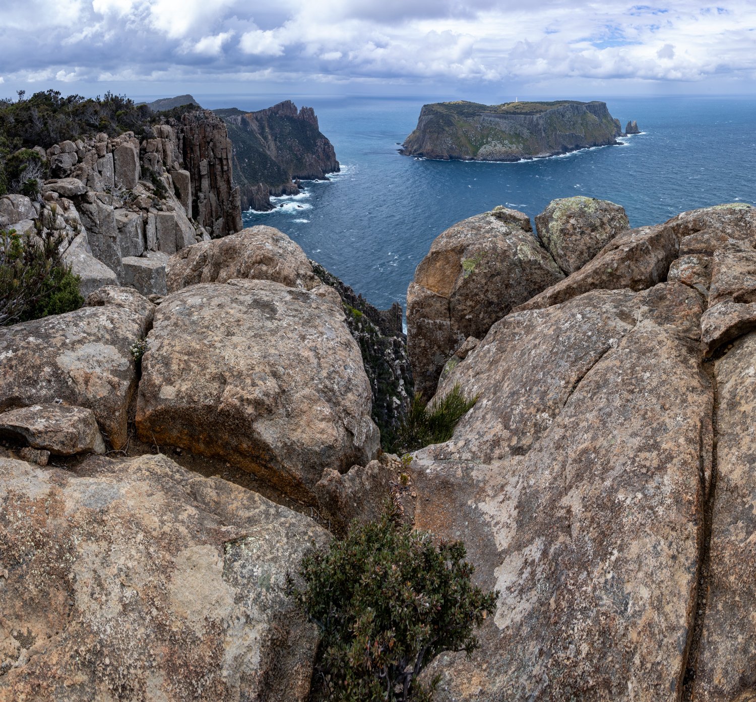
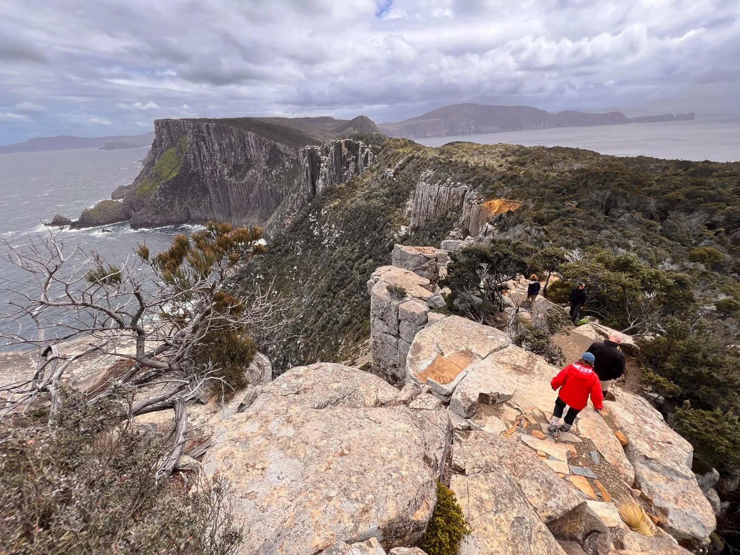
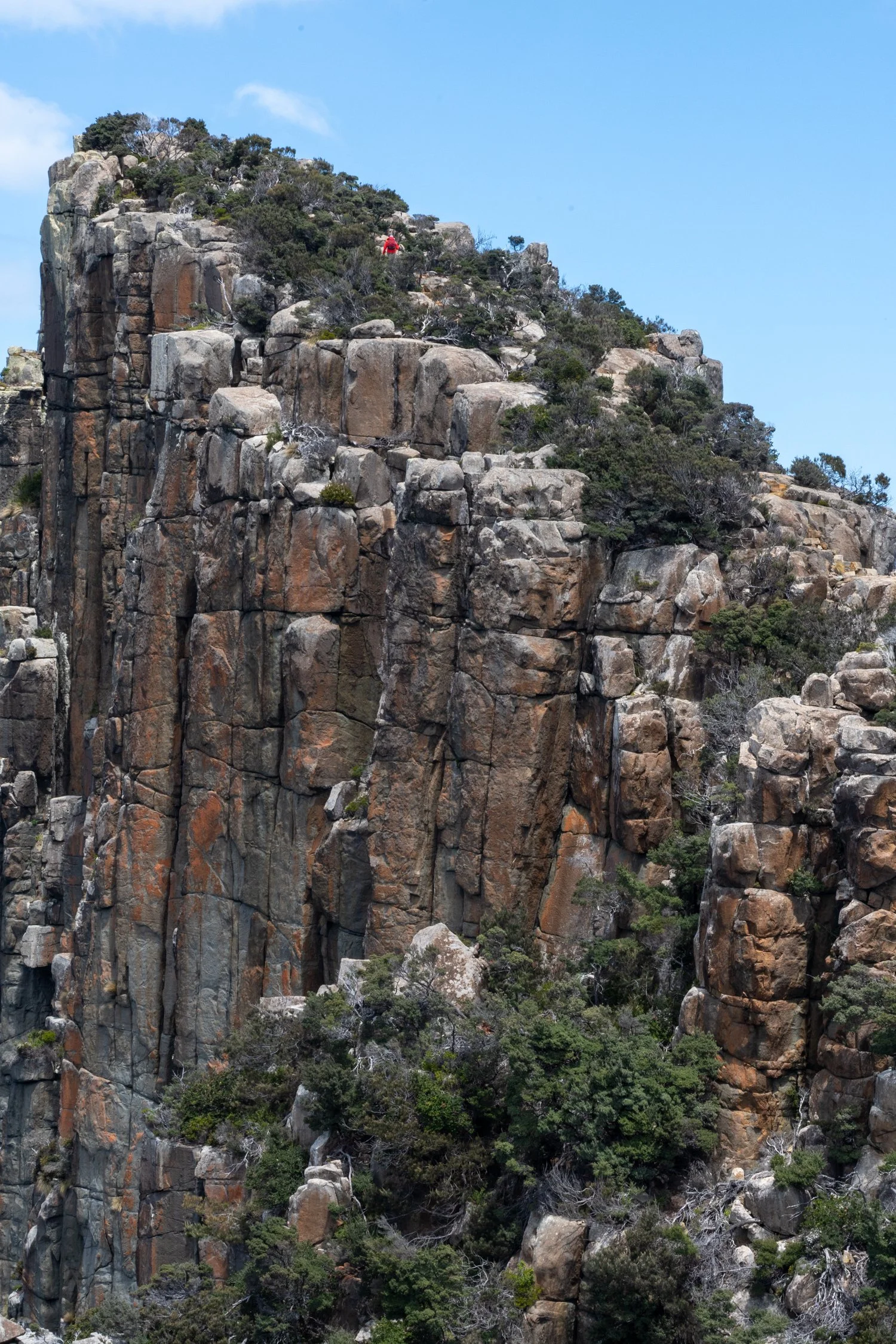
By now the track was tantalising close to the cliff edge giving the occasional glimpse of the blue ocean until a break in the vegetation gave our first real look at the Blade and Tasman Island off its point. Further on the last rise leads you along a series of rock steps, each one getting narrower until you stand on the edge of the knife with the cliffs falling away 230 metres to the pounding waves each side of you.
Beyond the rocky point, the Tasman Island bursts from the sea, like a block of cheese ready to be sliced. On top of this block sits the highest lighthouse in Australia sitting over 300m above the ocean. It was commissioned in 1906 and operated up until 1977. One gruesome fact shared by our guides was the story that to work as a lighthouse keeper you had to have all your teeth pulled to minimise the chance of infection as there was little chance of any help. The island is so remote that it was named ‘Siberia of the South’ by one wife of a lighthouse keeper.
As the final clouds dissolve allowing the aquamarine blue water to meld into the sky, we walk around to Chasm Lookout, the perfect location not only for lunch but to get an uninterrupted view back to the Blade which we have just summited.
With the thoughts of another scrumptious dinner motivating our walk back, we return along the path to Cape Pillar Lodge for our last night. The evening is finished with the routine of cheese, drinks, meal and a rundown of what to expect in the final day, followed by more wine in front of a fire.
The snake


Time for ‘Sex on the Cape’


Coastal magic


First glimpse of The Blade

The tip of the Blade at Cape Pillar

Looking back from the Blade towards Chasm lookout (on the right)


Chasm Lookout


Climbing to the top of the Blade

Fire as a natural part of the landscape


Our last night at Cape Pillar Lodge


DAY 4
Our final day on the Three Capes Track begins with freshly baked bread and oven cooked Mexican beans and eggs. A perfect meal for our longest day of just over 18km.
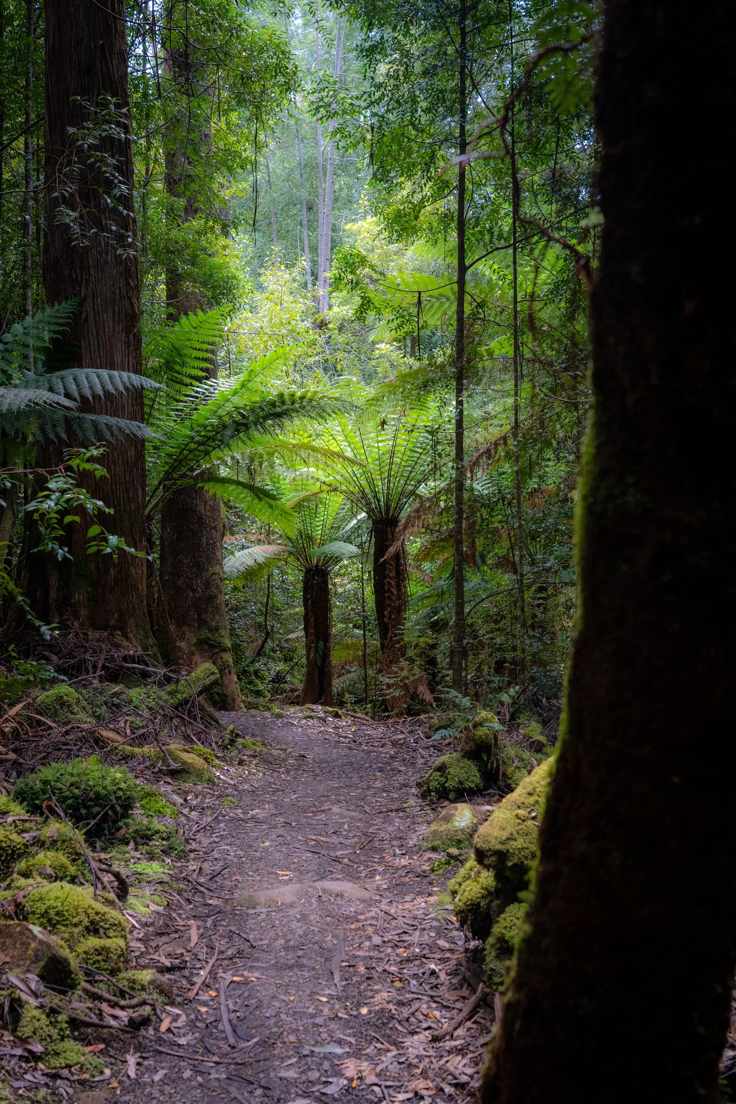
As the sun shines on another beautiful day (I must remember to buy a lottery ticket as we have been very lucky with the weather) we begin our hike with a contoured climb up Mount Fortescue at 482 metres. The track winds its way through fragrant heathlands to its lush, forested summit. With its towering tree-ferns, we are surrounded by plants who’s ancestors date back to the time of the dinosaurs when Australia was still part of the supercontinent Gondwana. The vibrant greens, ferns, and mosses fill your senses and you could be confused to be in a tropical Queensland rainforest.
It is at this moment the guides space everyone apart giving us an opportunity to walk by ourselves. Devoid of distractions, the intensity of the forest comes alive with smells and sound magnifying. While it has been a great experience spending time with our fellow travel companions over the last 4 days, spending time alone in the forest is a reminder that I do crave solo travelling.
Eventually the dark tree canopy thins as we enter the eucalypt woodlands, with occasional cliff-top lookouts punctuating the walk. At one of these we perch ourselves on the rock over-looking the Tasman Sea with a creative silver fish-hook attached and inscribed with the words ‘catches and quotas'. This is a reminder of the significant seafood catches in the area including lobster, crayfish, abalone, blue fin tuna and flathead.
The trail then descended to a junction right leading to the last of our three great Capes to visit (with the exception of the first cape which you do not visit which does make you ask why they didnt call this the Two Capes Track?).
We drop our bags at the junction, with the hope that no one is interested in three-day old smelly clothes, to tackle Cape Hauy. A steep downhill set of stairs is followed by another set of gruelling stairs which rises over the ridge only to be repeated again. While the 360-degree views are mesmerising, the constant uneven stairs force you to spend much of your time with eyes on your boots for the fear of tripping, which would be a speedy, but bone breaking, way to the bottom. However, this does encourage you to notice the smaller things – like the small native orchids in bloom or the skink sunning itself on a rock.
Reaching the final timber platform at the end of Cape Hauy the rugged landscapes and golden beaches of Tasman National Park sit off to the west. While we still have further to go, this feels like the end of our walk having conquered the capes.
Reluctantly, leaving the rocky headland, we turn west towards our destination at Fortescue Bay. As we get closer to civilisation, and start to come across day trippers, I walk a bit more proudly with our larger packs on our back, knowing that we have joined the multi-day hike group (even if we did stay in luxurious cabins!). Rounding the bend, we come to the large “Three Capes Track” sign and proudly stand in front for a photo.
It’s tradition to take a swim at the end of the hike at Fortescue Bay. As I walk in ankle-deep and then loiter, I soon realise I am not a mad Tasmanian, and despite some locals swimming nearby, I will save my swim for warmer waters.
So, it is here we end a magnificent 4 days hiking in Tasmania. With a bus ride back and one more glass of bubbles as we return our gear, I ask Kathy if she would be up for an overnight hike. Her response was “only if there are canapes and a heater in the room”. It looks like I will be on my own next time.
Climbing Mount Fortescue


The greens of the forest


A rainforest fairy garden


One of many lookouts over the Tasman


Thousands or stairs to Cape Hauy


Atop Cape Hauy


Our final Cape

Thanks to our fellow hiking companions - we made it!

